Discover Portobello on the Otago Peninsula
Portobello is a laid-back village at the heart of the Otago Peninsula. With its cafés and small-town feel, it’s the perfect base for exploring this wildlife-rich corner of Ōtepoti / Dunedin. From here, you can take Highcliff Road to the fabulous beaches on the Pacific Coast, walk to historic Quarantine Point, cross the harbour to Kamau Taurua / Quarantine Island, or continue along Otago Peninsula to Taiaroa Head.
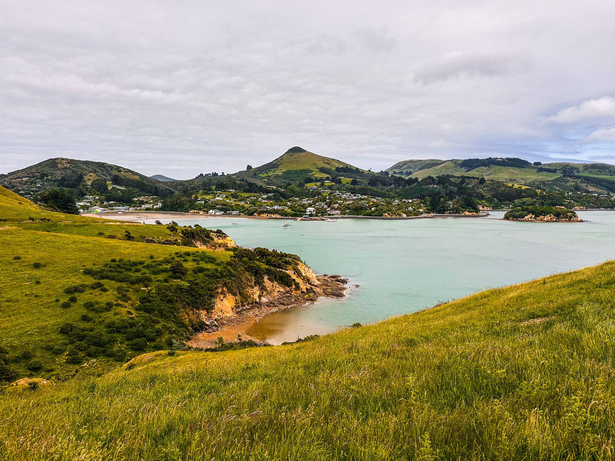
Peninsula views and sheltered water
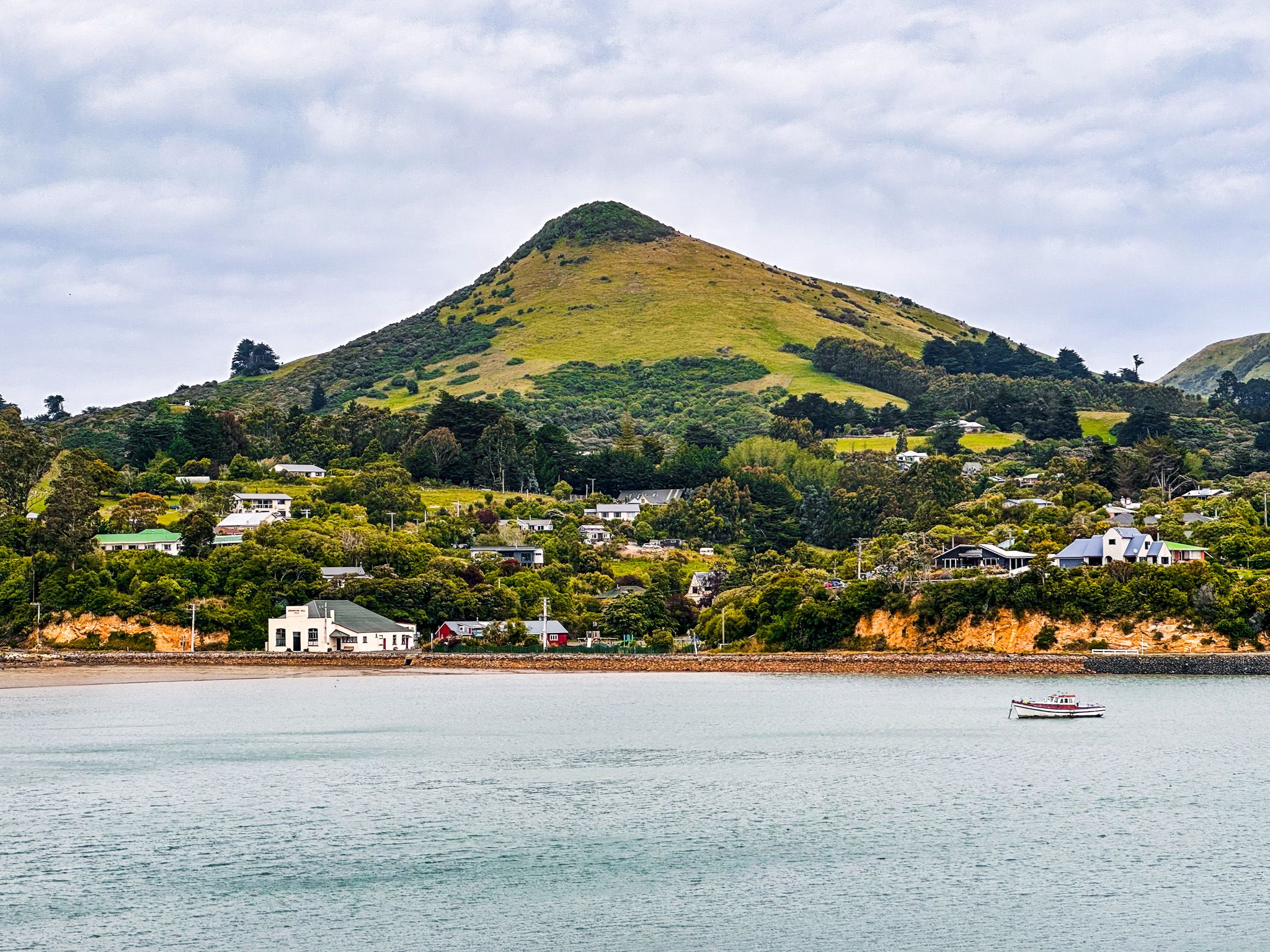
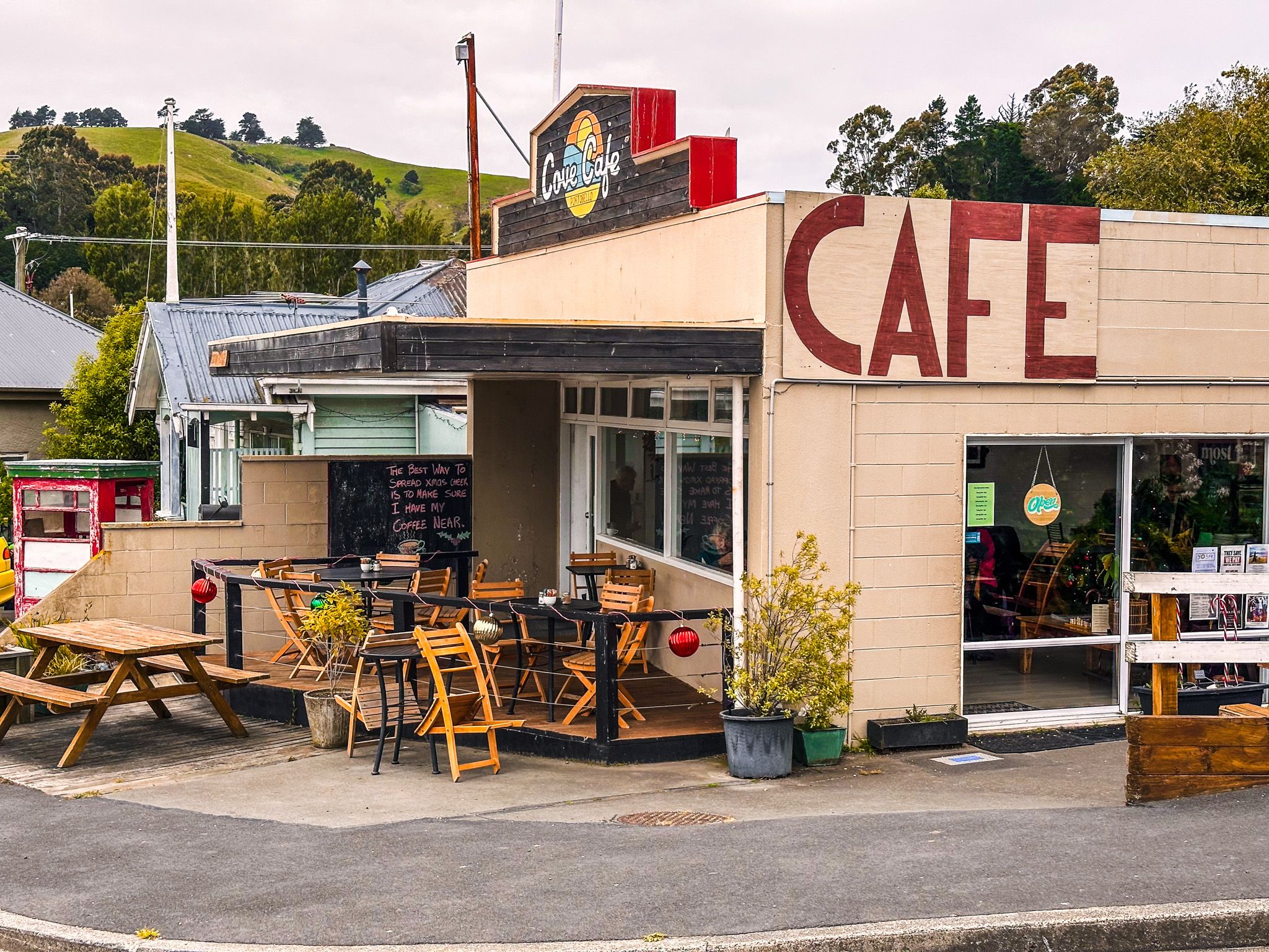
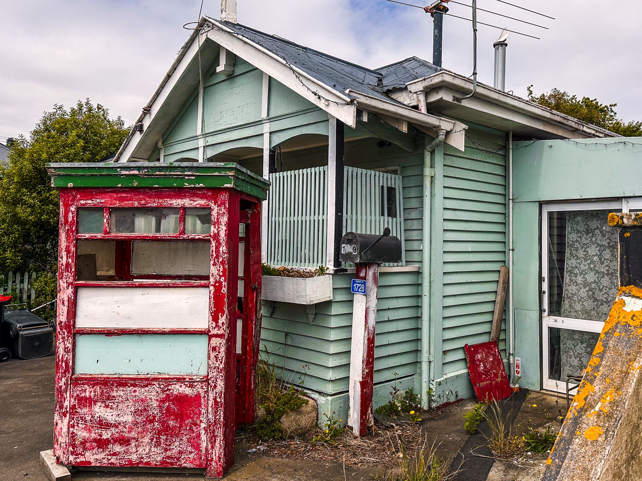
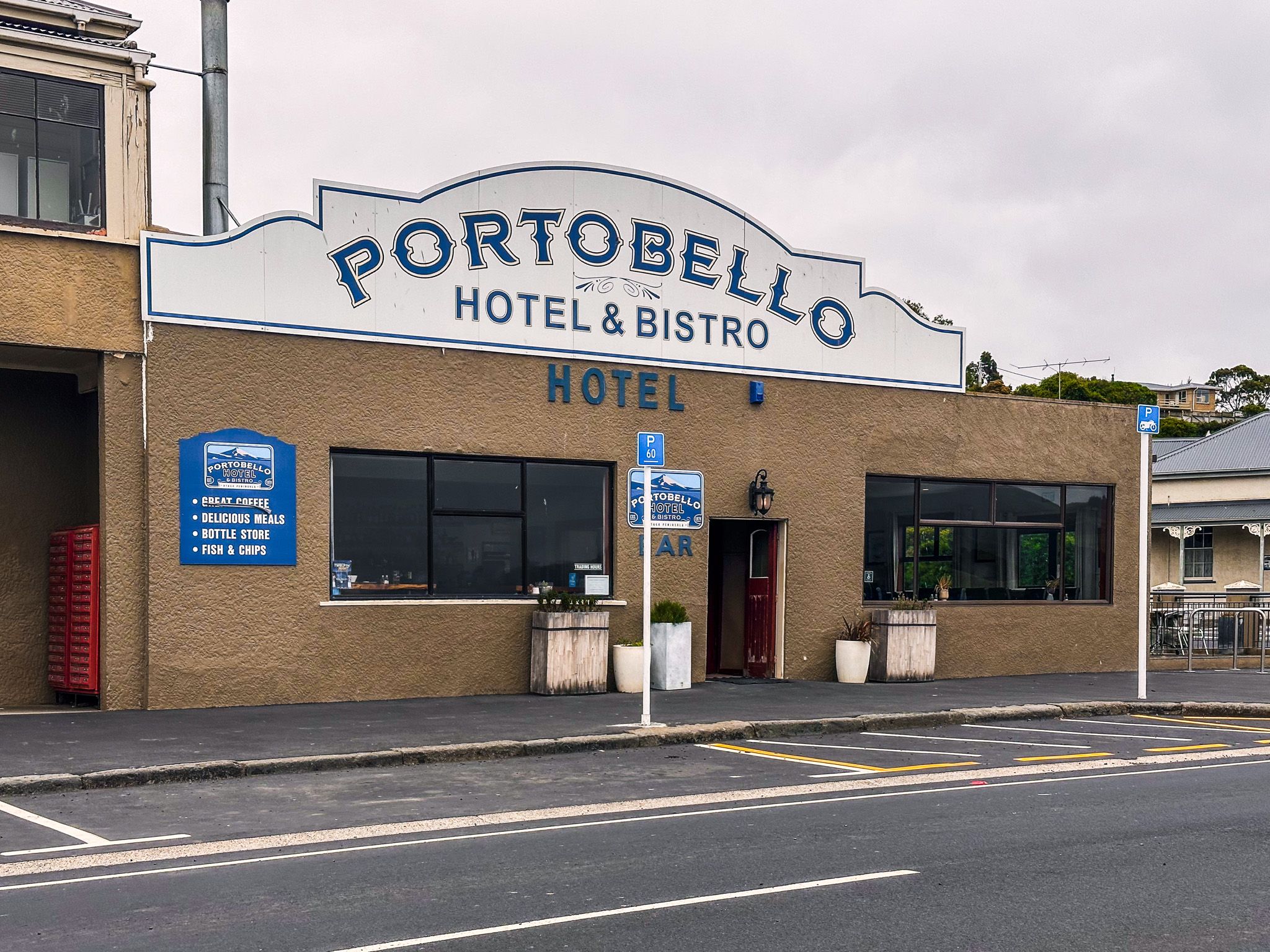
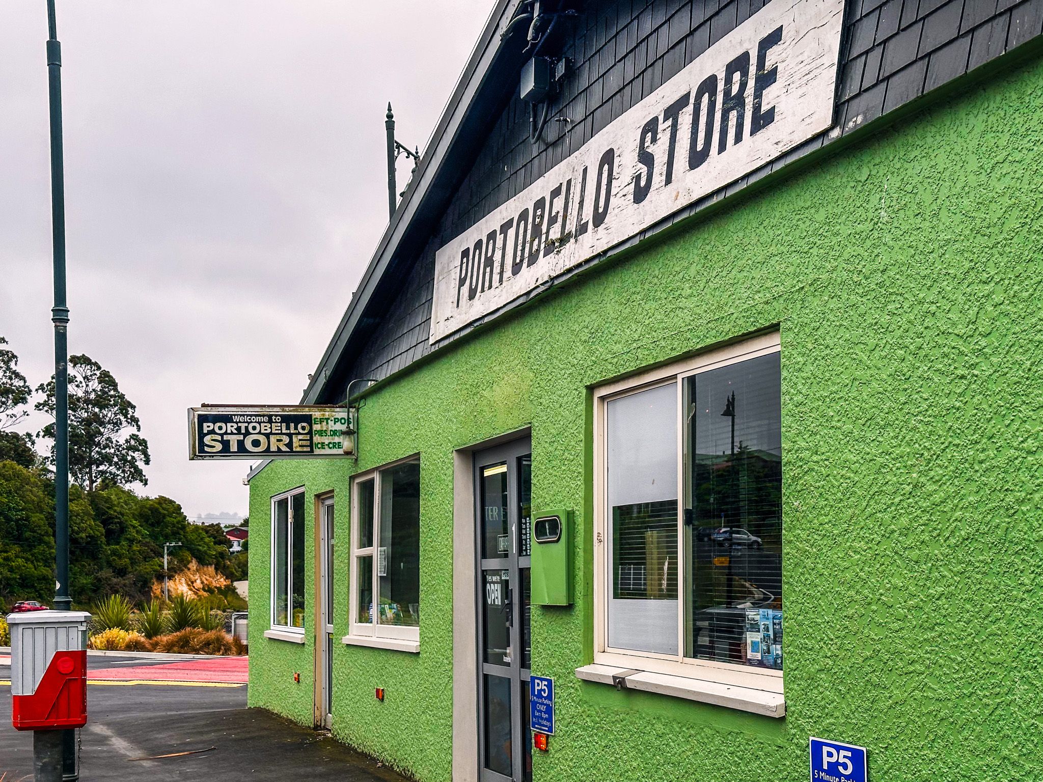
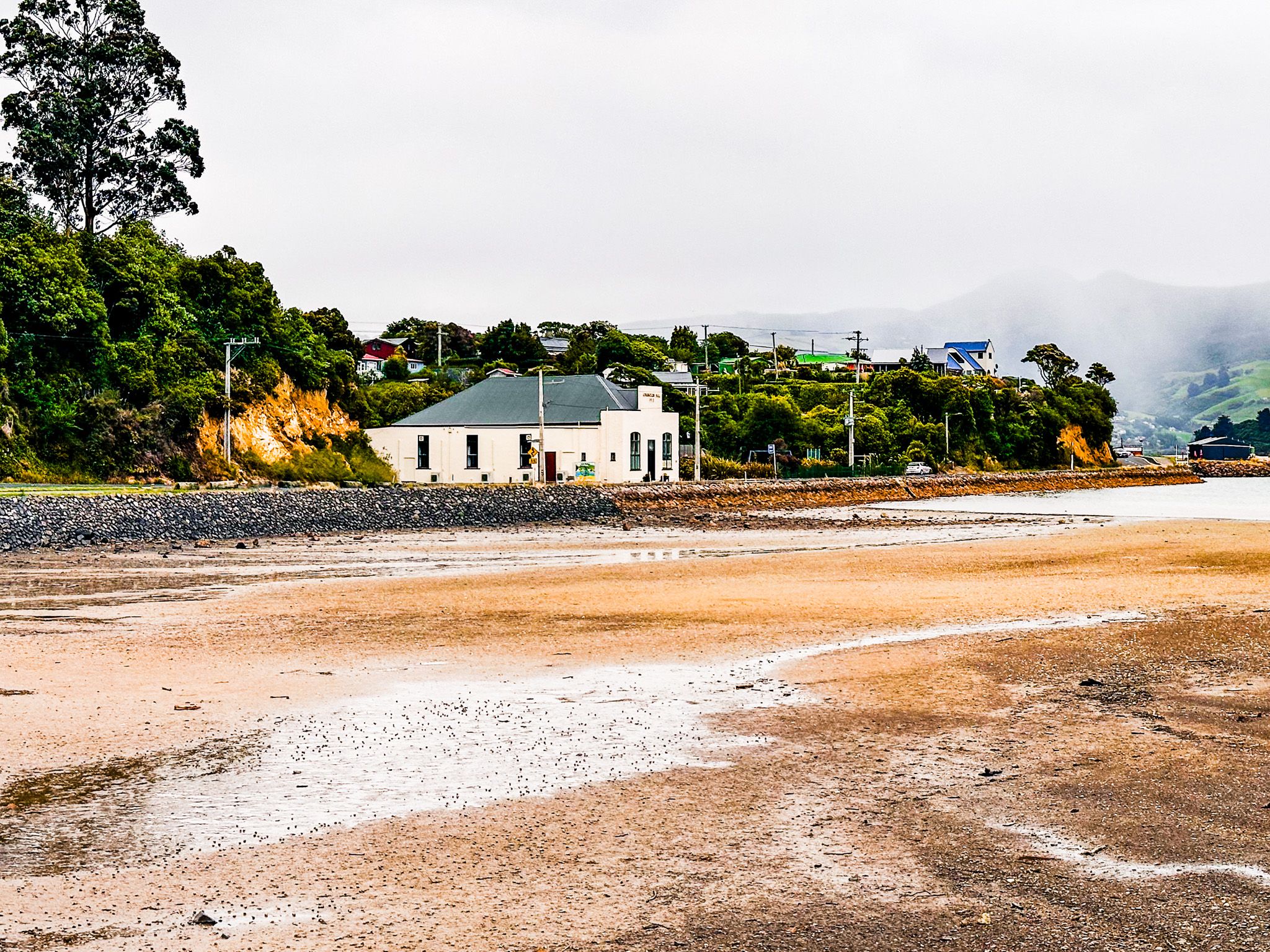
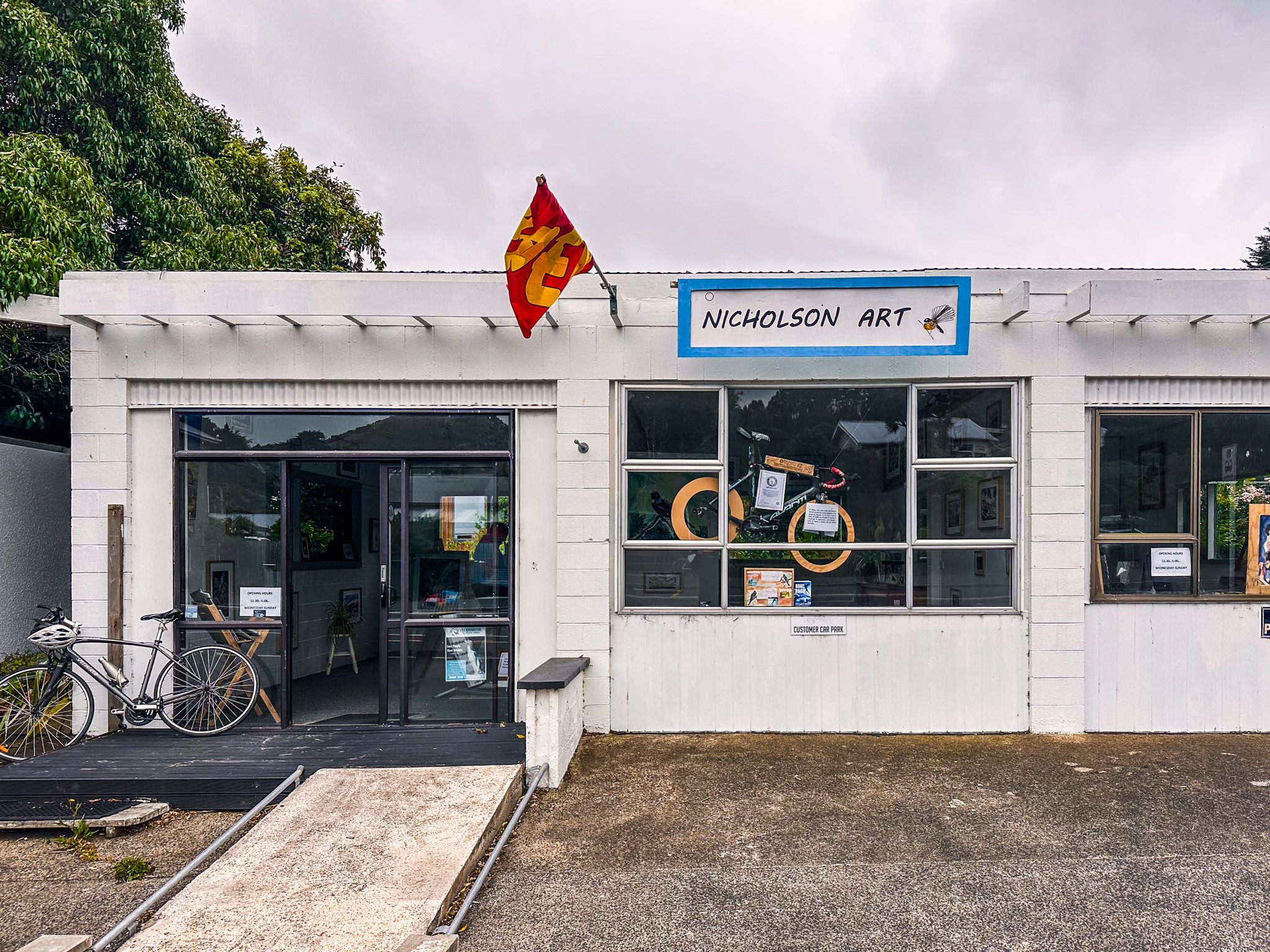
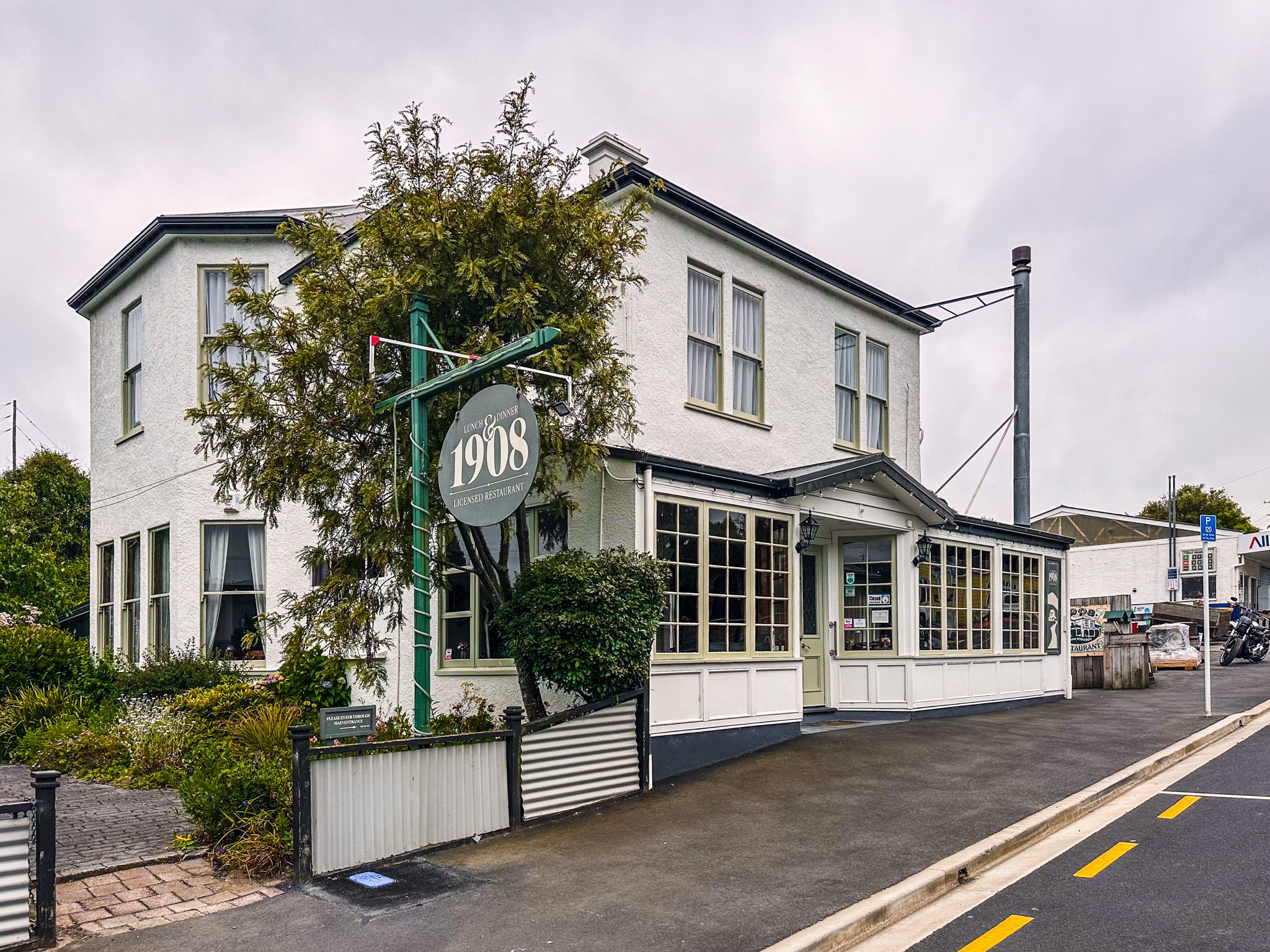
Portobello sits on the harbour-facing side of the peninsula, about a 30-minute drive from central Dunedin. The village itself has a mix of heritage homes, a small café cluster, local art studios and galleries and a waterfront reserve with picnic spots and boat ramps.
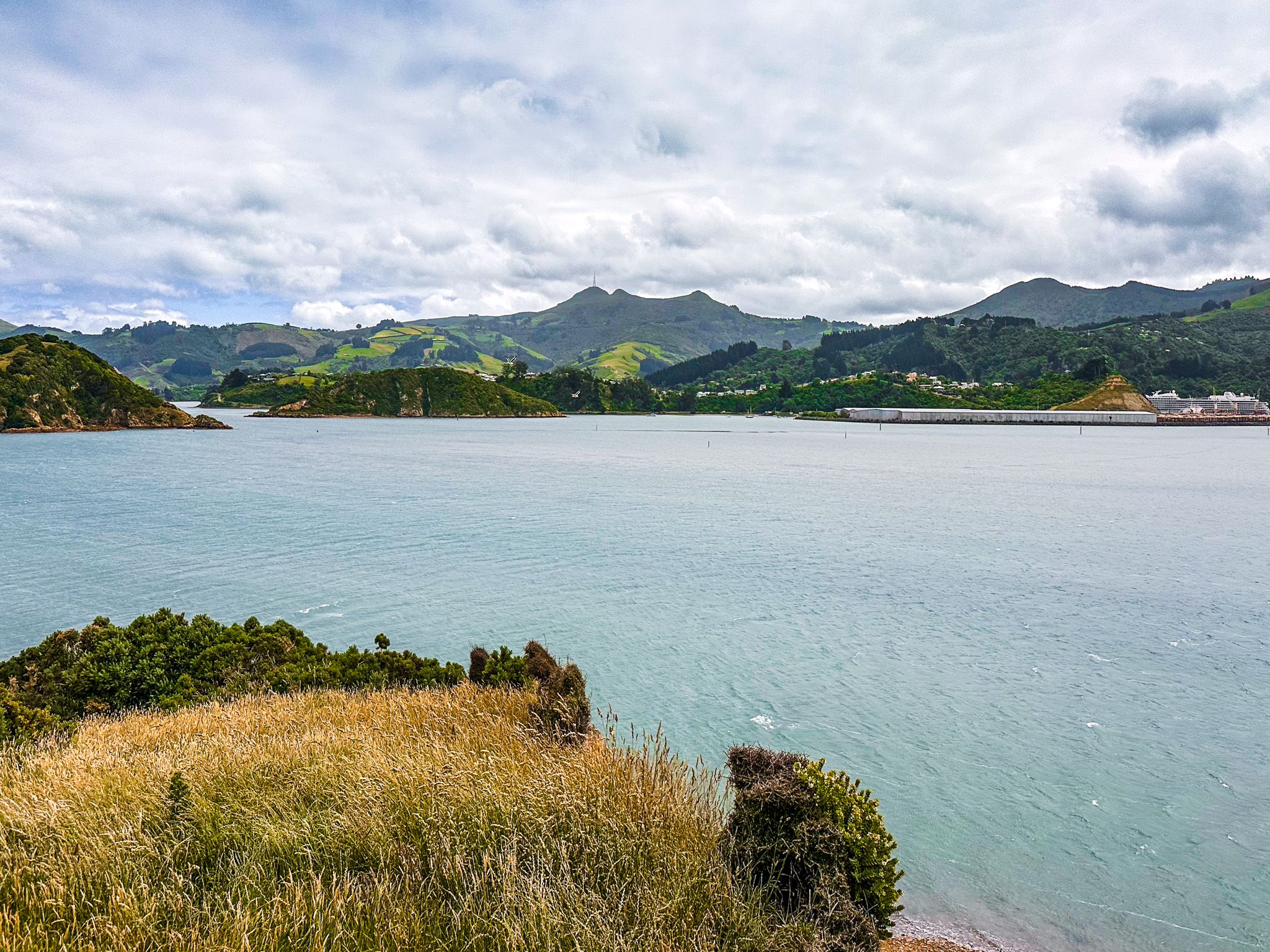
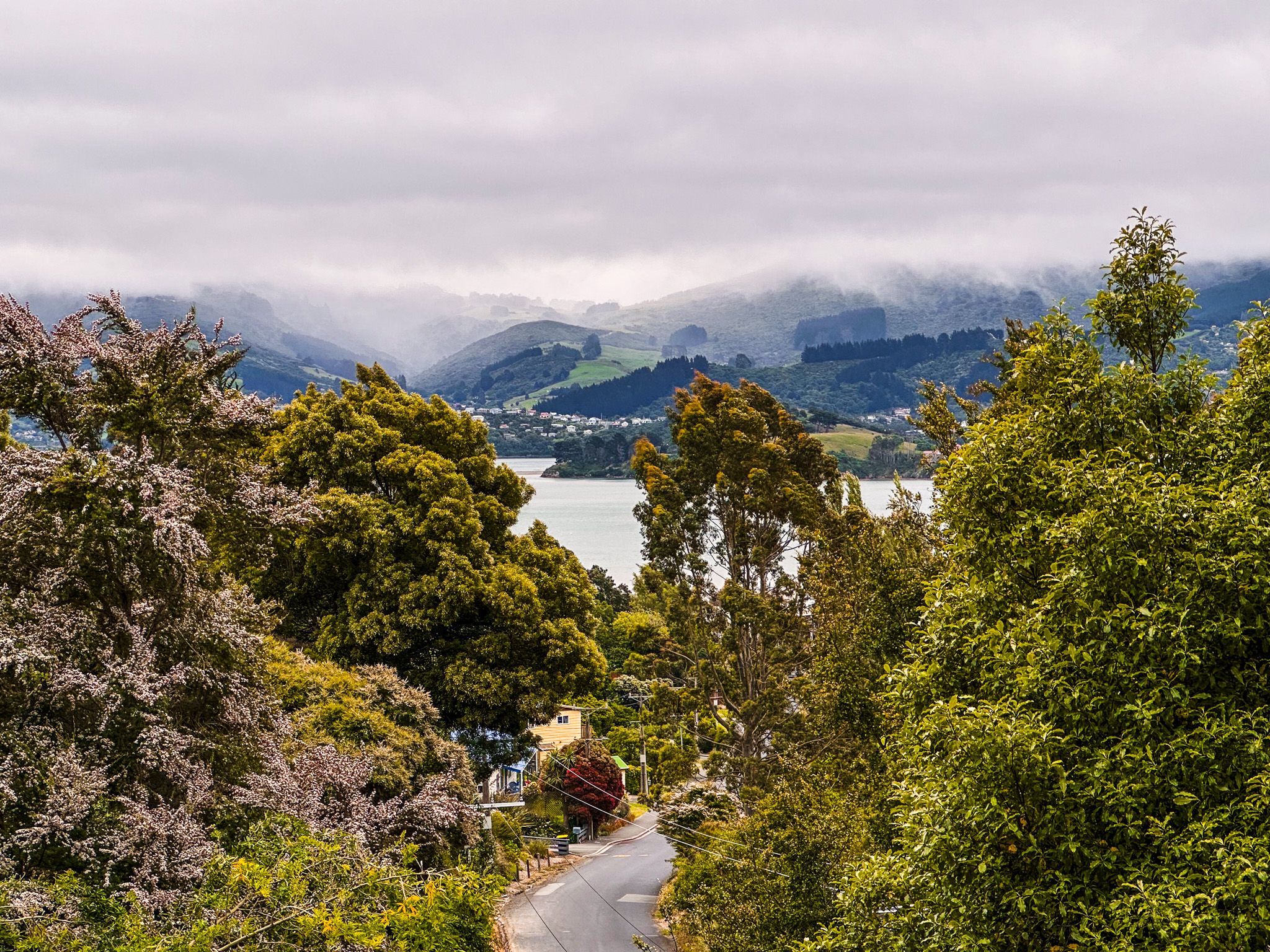
The harbour here is calm and clear, with shallow tidal flats stretching out toward the hills of the mainland. Black swans, herons, and oystercatchers are regular sights, and the sheltered setting makes it a good place to launch kayaks or paddleboards when the weather allows.
Portobello is also a good base for visiting the Royal Albatross Centre at Taiaroa Head or the Penguin Place sanctuary, both a short drive further along the peninsula.
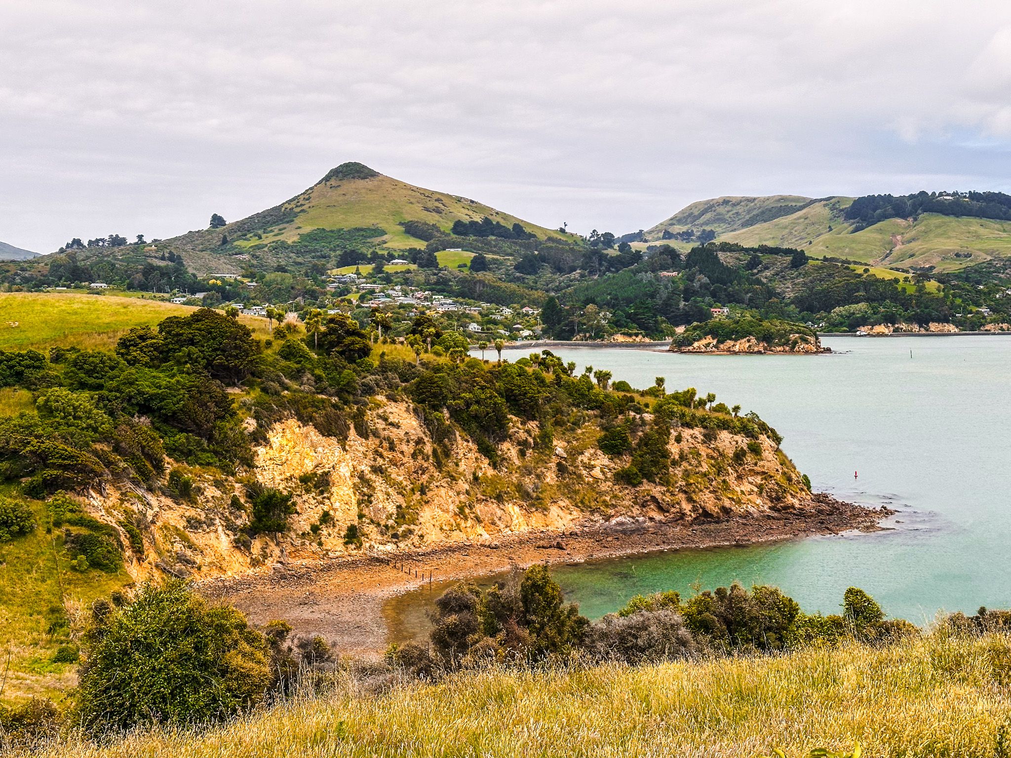
Exploring Quarantine Point
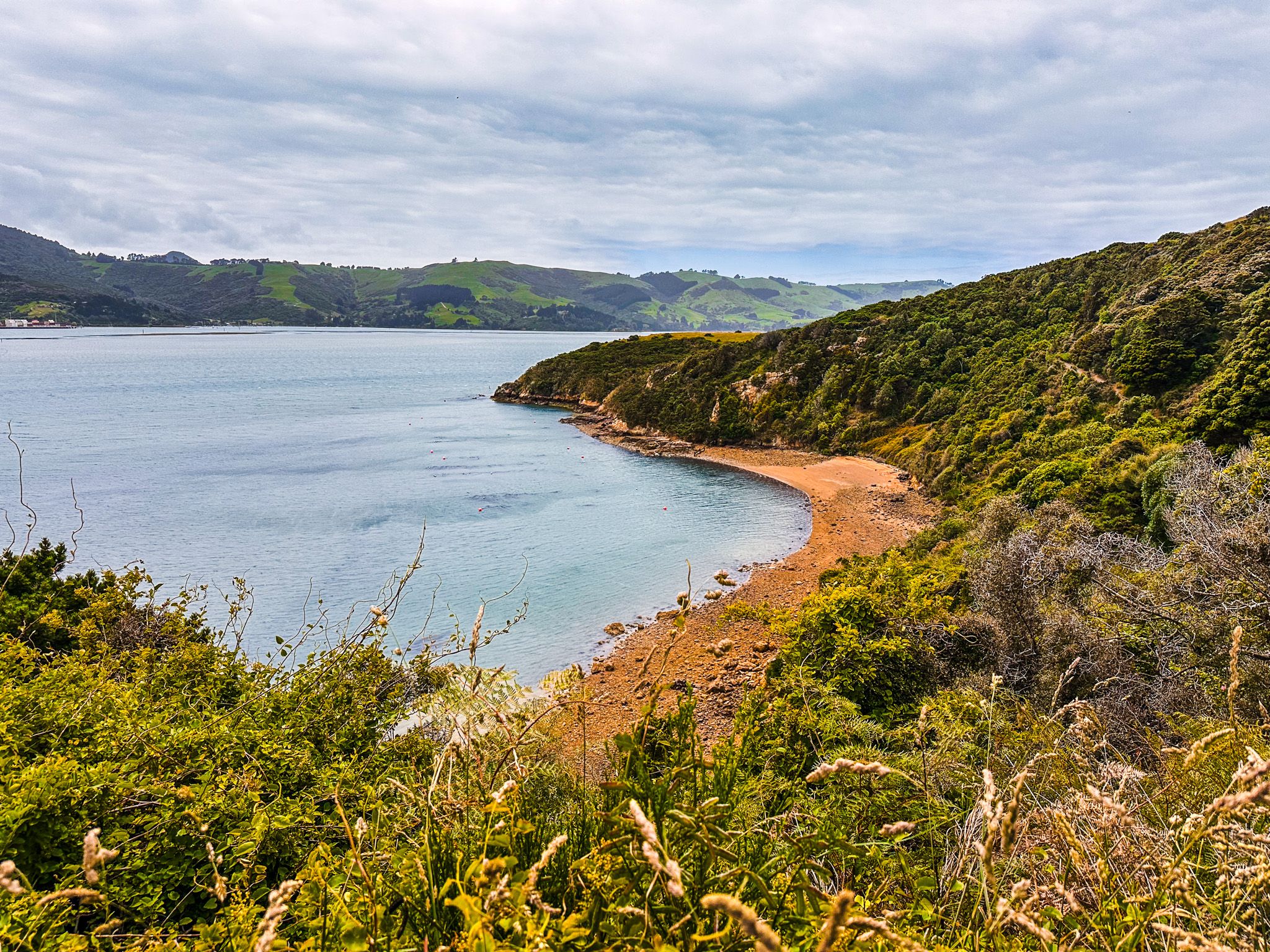
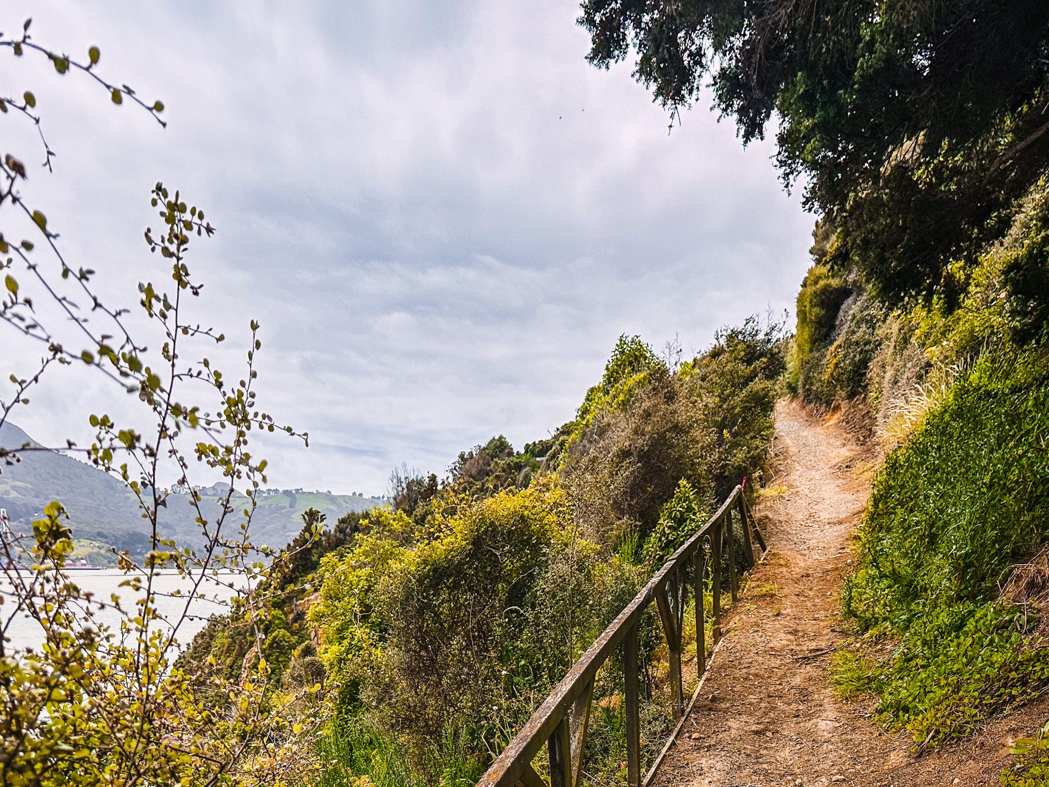
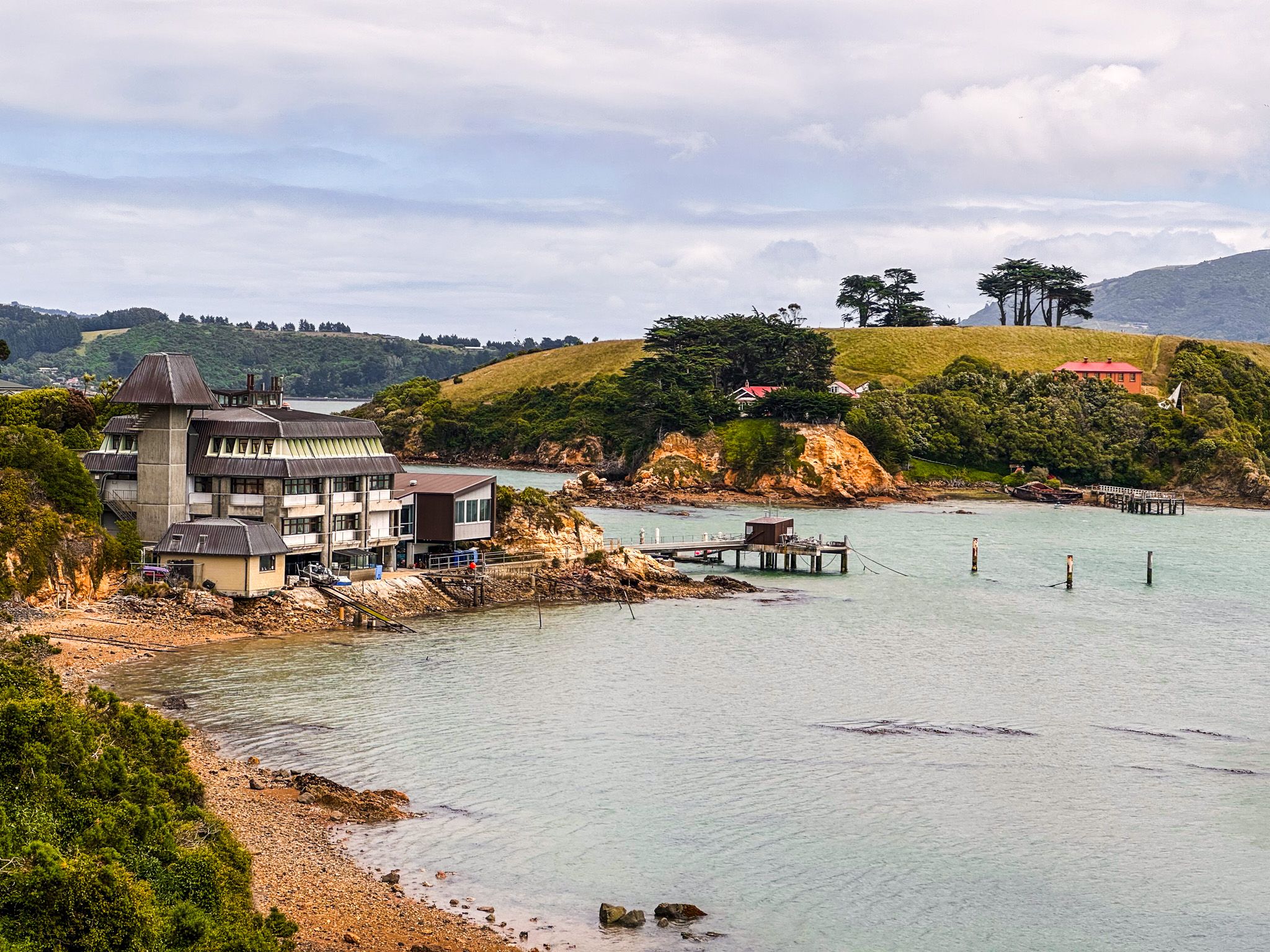
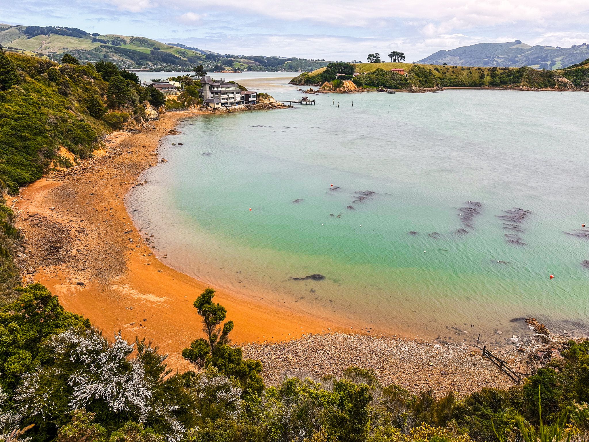
From Portobello’s waterfront, a short drive along Hatchery Road leads to the start of the track to Quarantine Point, above the NZ Marine Studies Centre. The path winds through regenerating bush and open grass, with birdlife all around. The point takes its name from the site’s past as a quarantine station in the late 1800s, where new arrivals were held to prevent the spread of disease. From this point, the cliff-top views of the harbour are spectacular.
Just offshore lies Quarantine Island / Kamau Taurua, which can be visited by boat or kayak from Portobello or other points along the harbour. The island is a protected historic and ecological reserve, jointly managed by local volunteers and iwi, and holds the remnants of early buildings, forest restoration zones, and walking tracks.
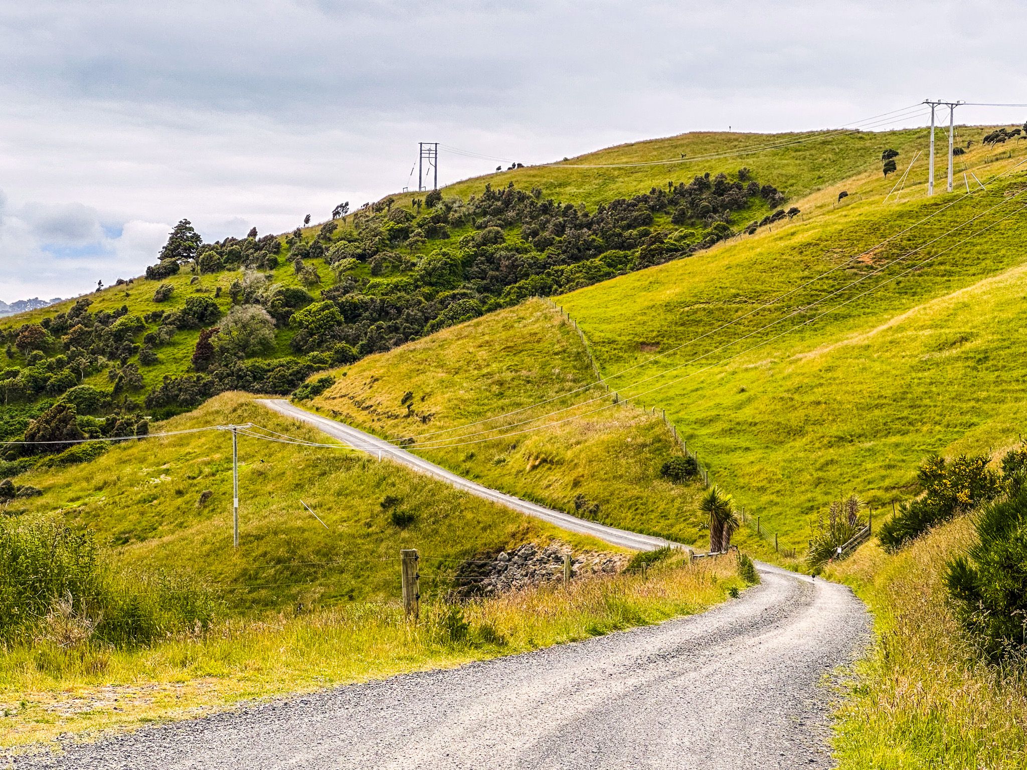
Walks from Highcliff Road
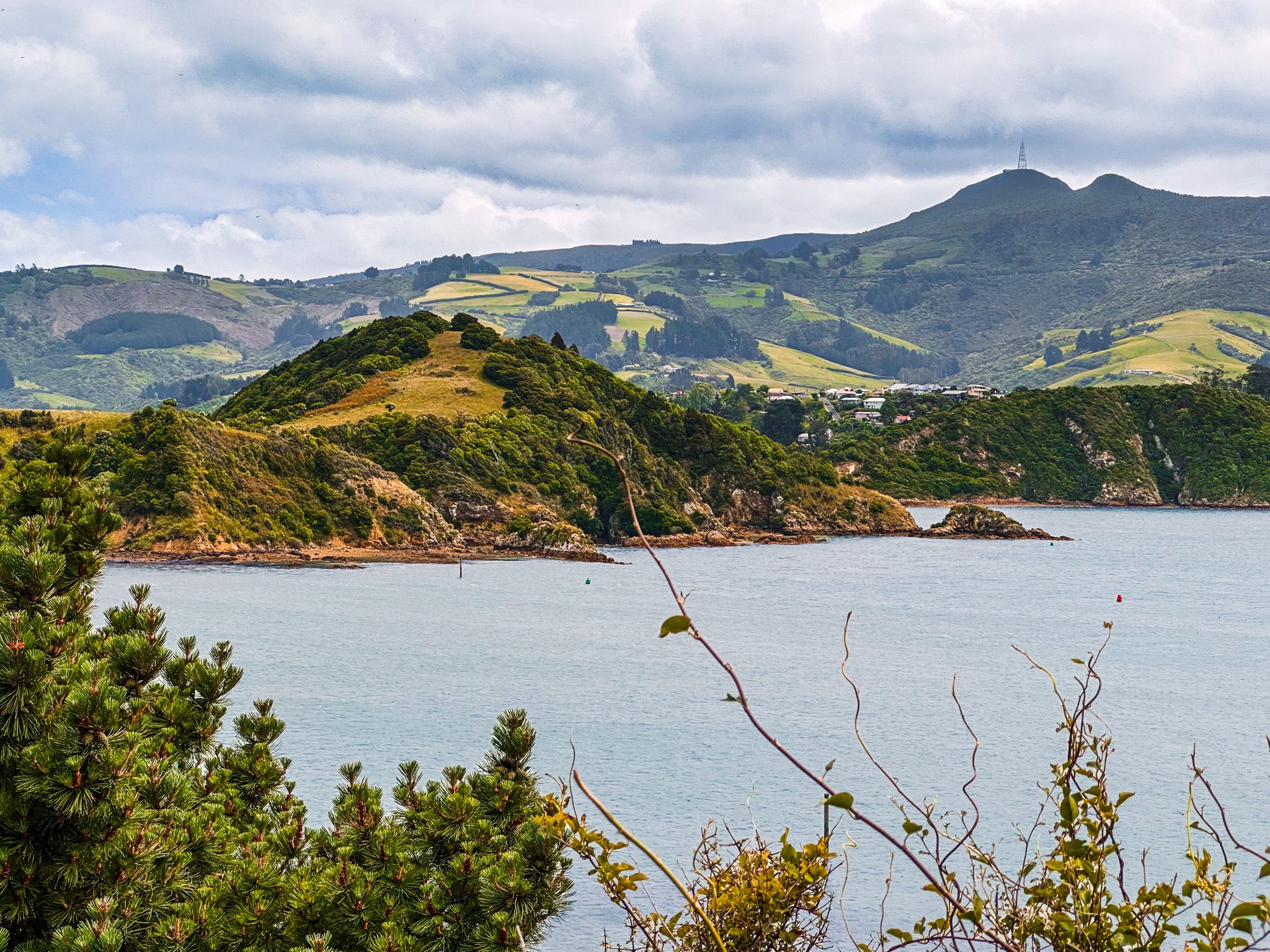
From the centre of Portobello, Highcliff Road climbs steeply toward the ridge of the Otago Peninsula, offering panoramic views out to the Pacific. This is the access point for several superb walks, including the prominent peak of nearby Harbour Cone, the track to Sandfly Bay and the tracks around Sandymount.
History of Portobello
Originally inhabited by Ngāi Tahu iwi, the area was valued for its abundant kai moana (seafood), particularly around the sheltered waters of Otago Harbour. European settlers arrived in the mid-19th century, and the township was named after Portobello in Edinburgh, Scotland.
Portobello developed as a farming and fishing community. By the late 1800s, it became a popular holiday destination for Dunedin residents, with ferries linking it to the city across the harbour. Since then, despite the road links, it has changed only very slowly, thereby retaining its historical charm.

How to get there
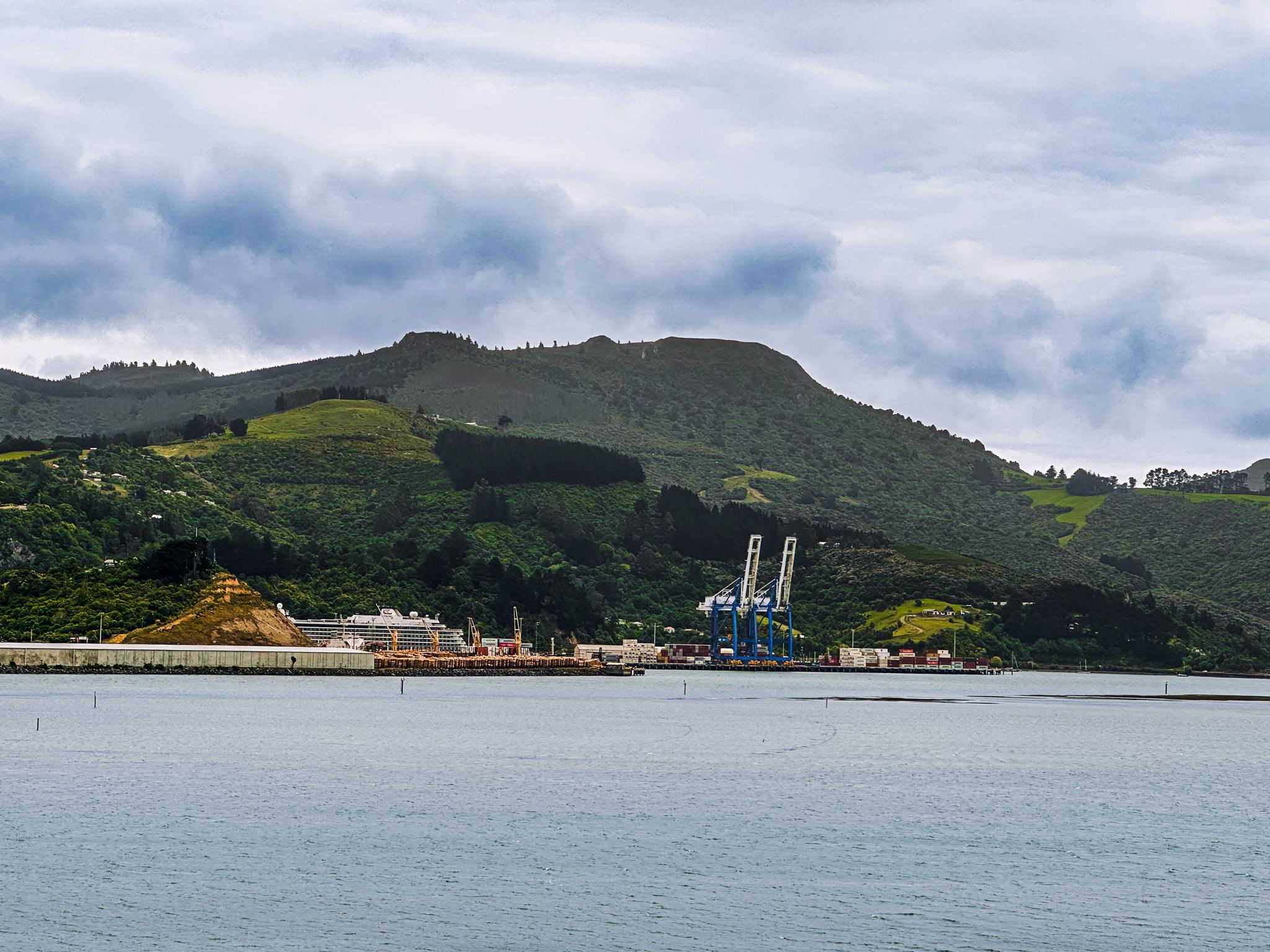
Portobello is around 25 kilometres from Dunedin’s city centre. You can reach it by following Portobello Road along the harbour edge, a scenic drive that takes around 30 minutes, or take Highcliff Road over the top of the peninsula for a more elevated route. Both roads are narrow and winding in places, so allow time to enjoy the views and drive with care.
Boat access to Kamau Taurua / Quarantine Island is by arrangement with local charter services. The Hatchery Road track to Quarantine Point begins near the Marine Studies Centre and takes around 25 minutes return.
Other nearby options include Cone Hill, the Okia Reserve and the Pyramids, Victory Beach, Allans Beach and Larnach Castle.