Exploring the Pōhutukawa Coast
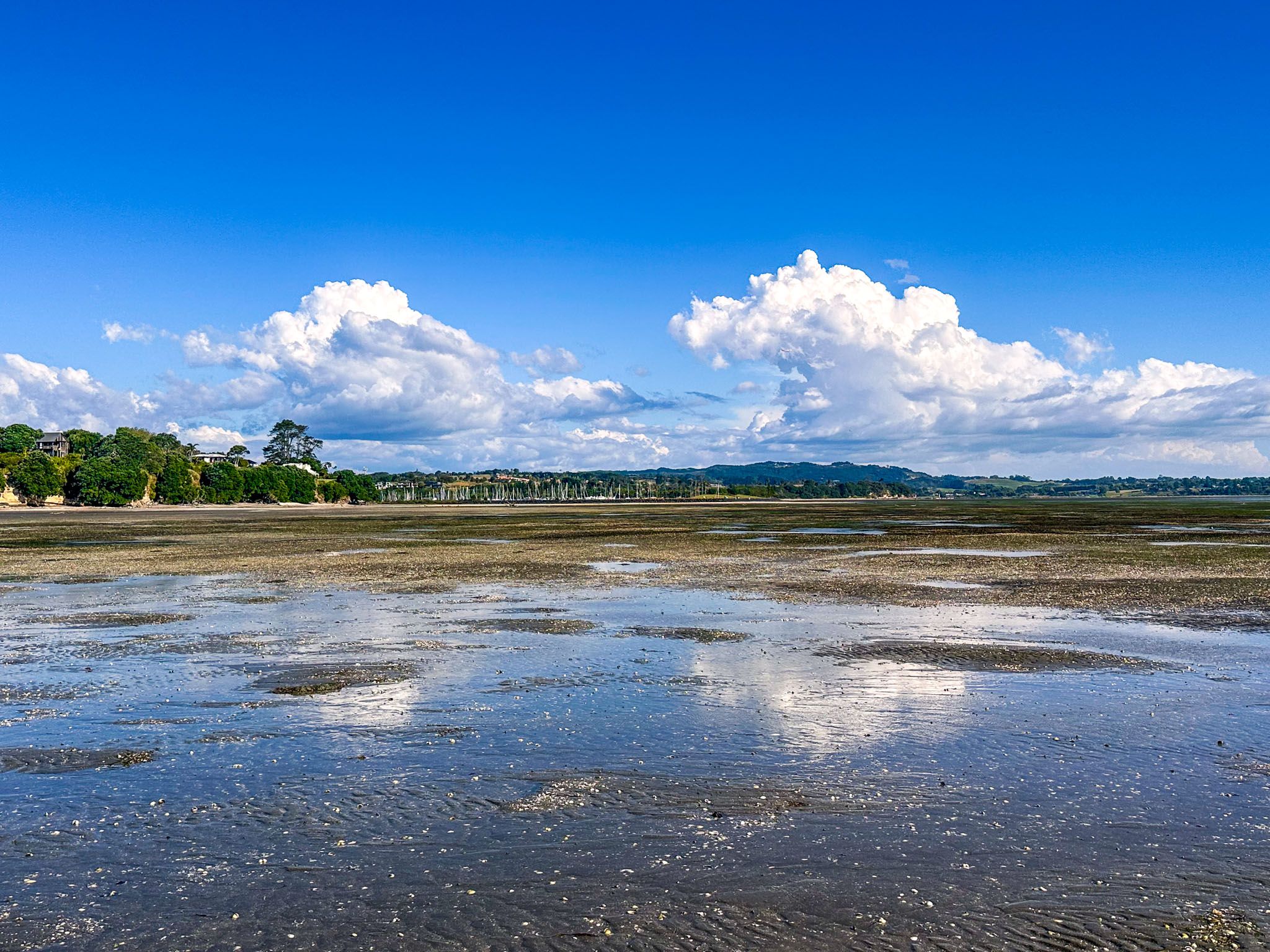
The Pōhutukawa Coast, nestled between Whitford and Clevedon, is a beautiful coastal area on the southeastern edge of Auckland. It borders the Tāmaki Strait, the waterway separating Waiheke Island from the mainland. The region is renowned has several sheltered beaches and two expansive coastal regional parks: Ōmana and Duder. The charming coastal towns of Beachlands and Maraetai add to its attraction.
A Modern Name with Historical Roots
The name "Pōhutukawa Coast" is relatively modern, inspired by the pōhutukawa trees that line much of the coastline. The Maraetai newsletter adopted the name "Pōhutukawa Coast Times" in 1992. Subsequently, the Whitford Rotary Club rebranded as Pōhutukawa Coast Rotary in 2002, and the Pōhutukawa Coast Community Association was established in 2004.
Pōhutukawa Coast Scenic Drive
A single 28 km highway connects the Pōhutukawa Coast. Starting from Whitford, the route follows Whitford Maraetai Road, which transitions into Maraetai Drive in Maraetai, and then becomes Maraetai Coast Road leading to Umupuia Beach and Duder Regional Park.
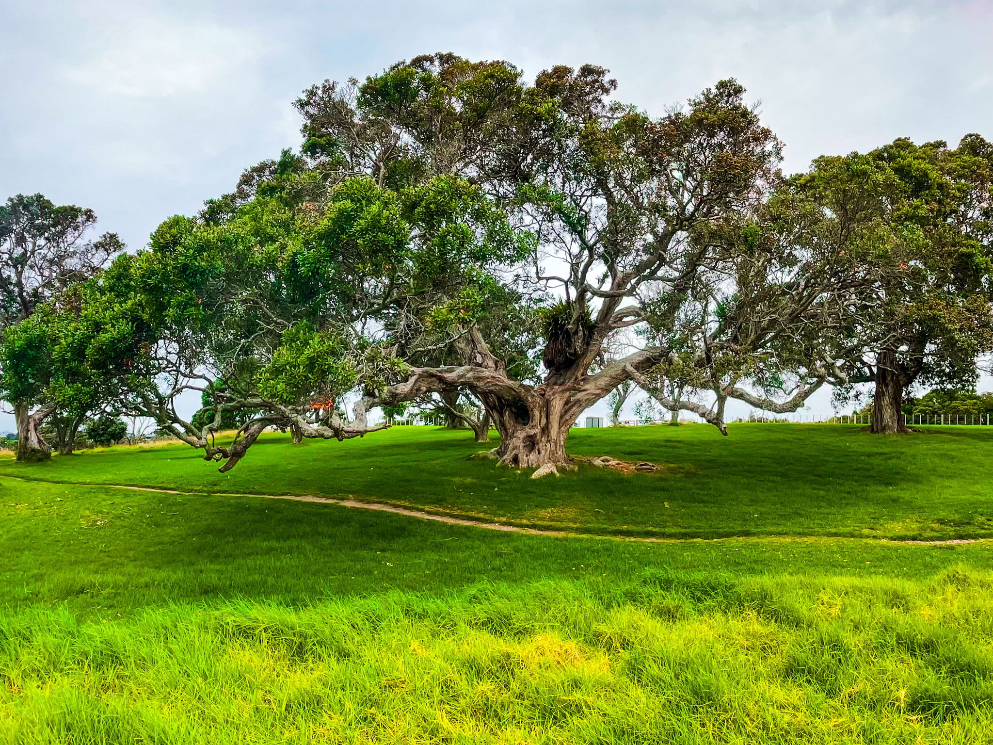
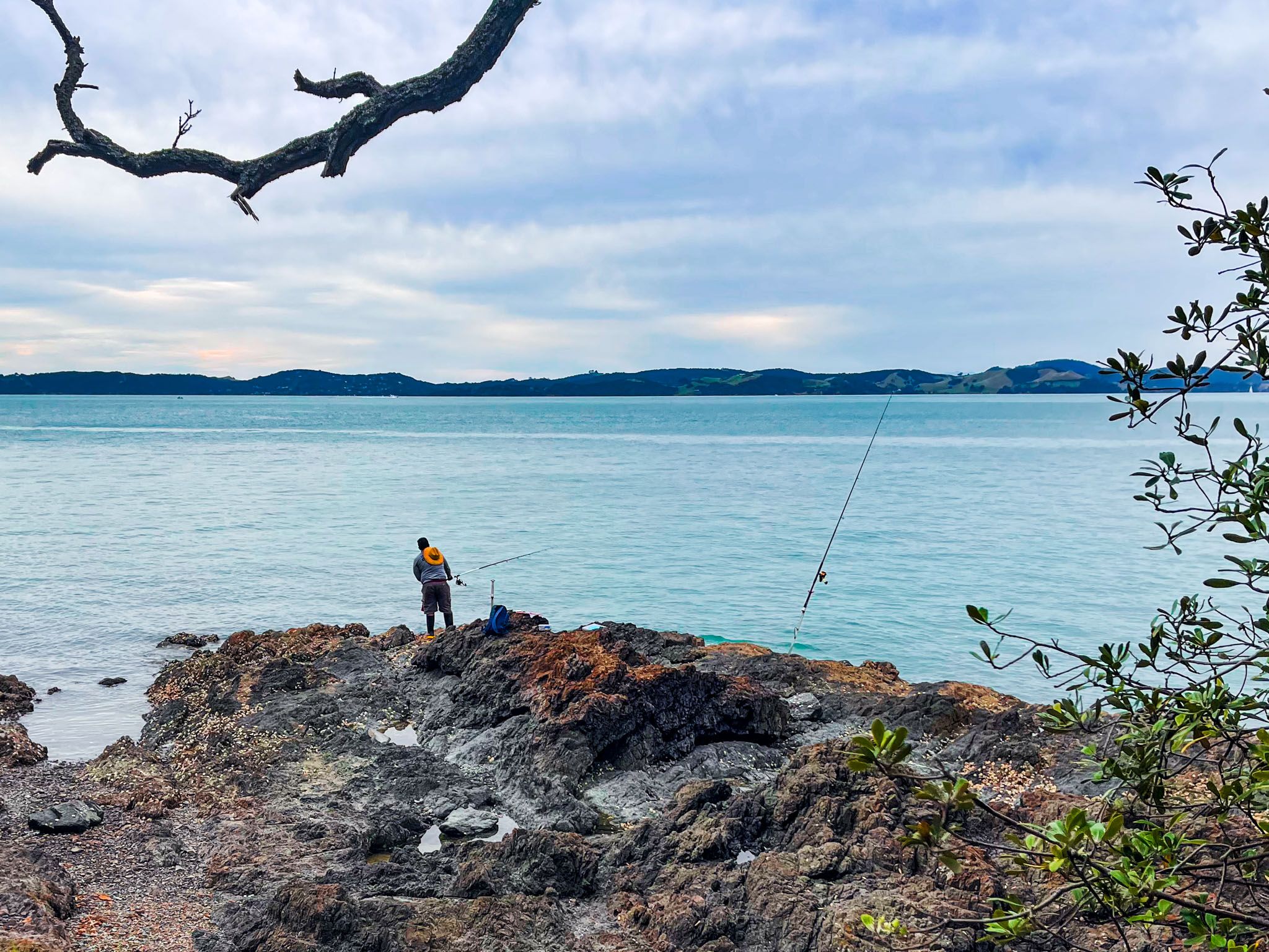
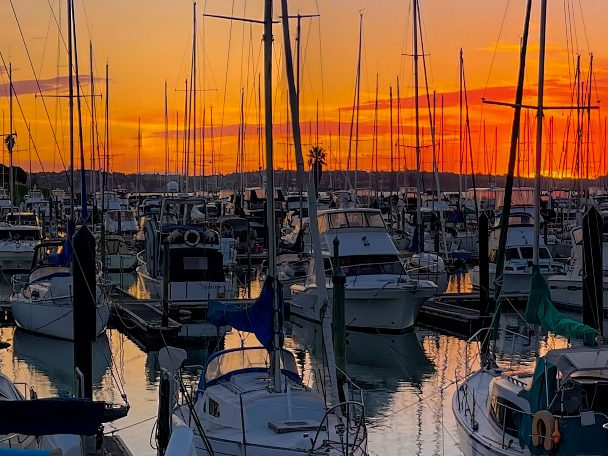
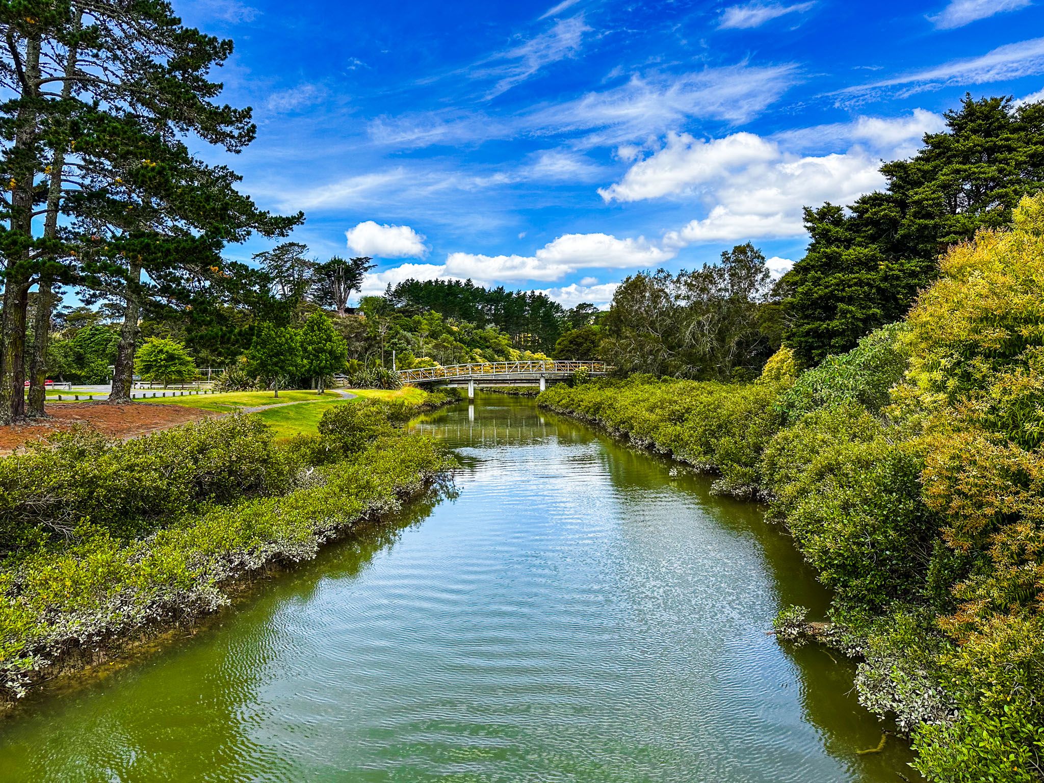
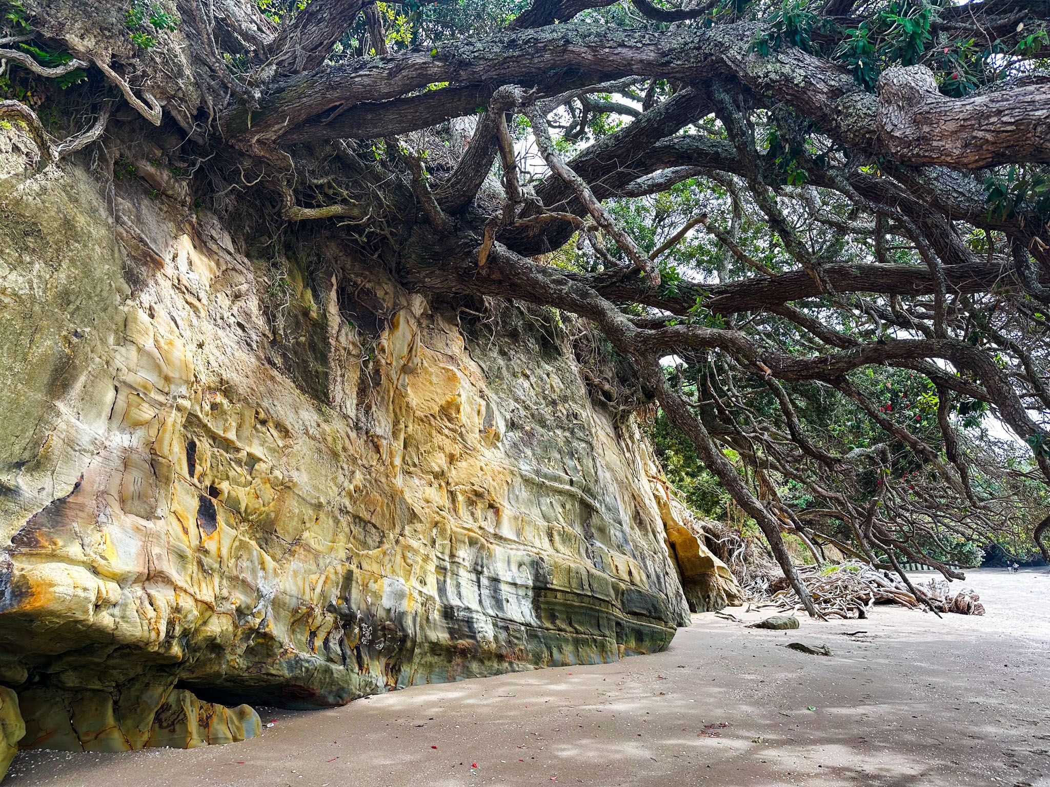
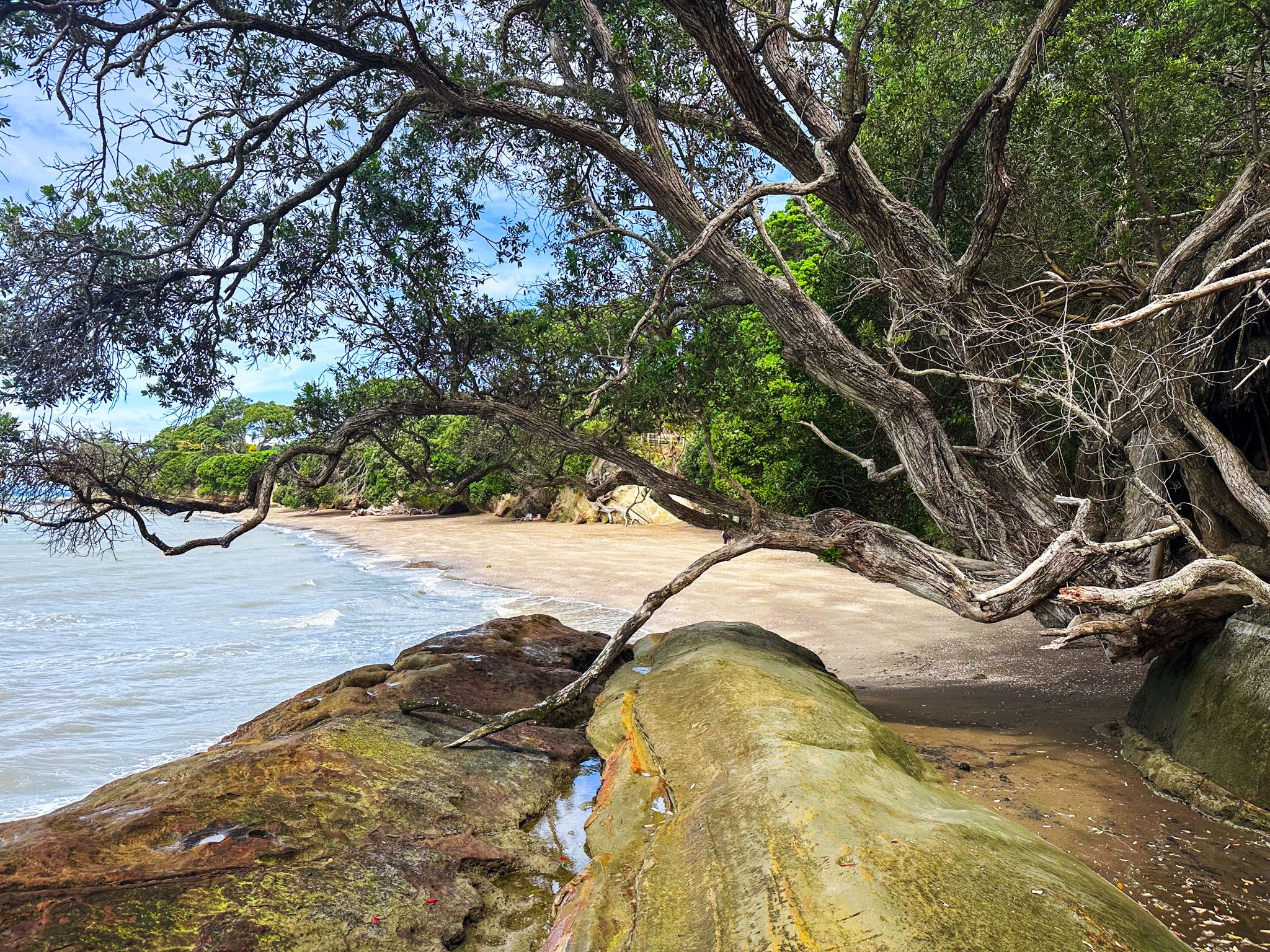
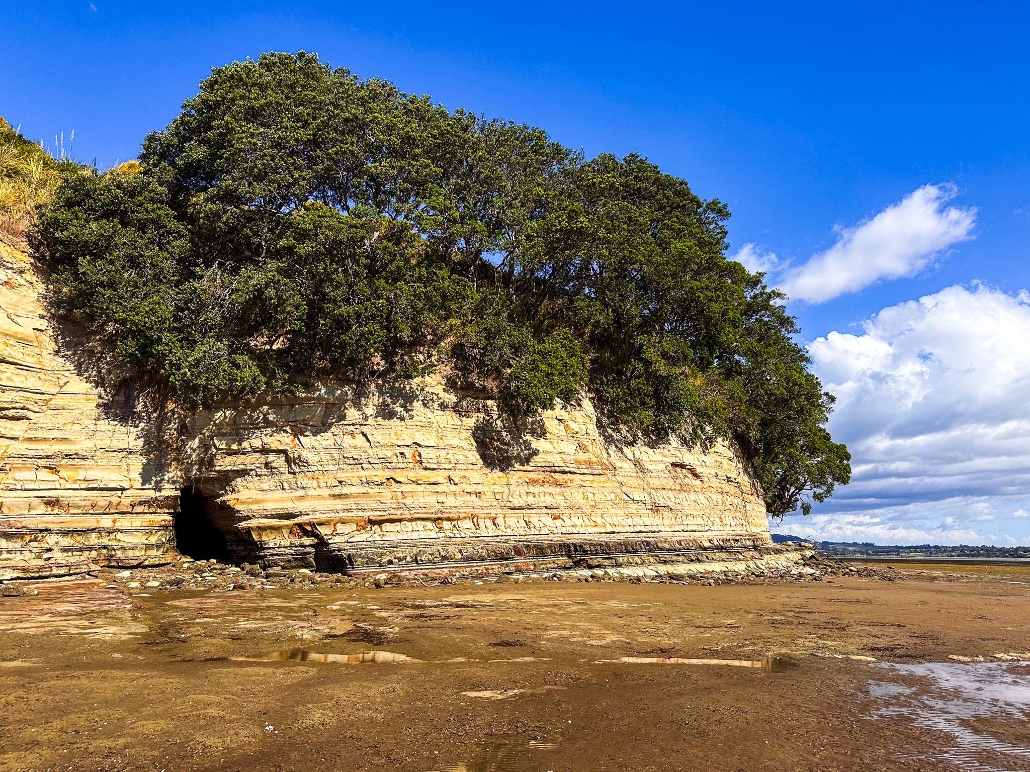
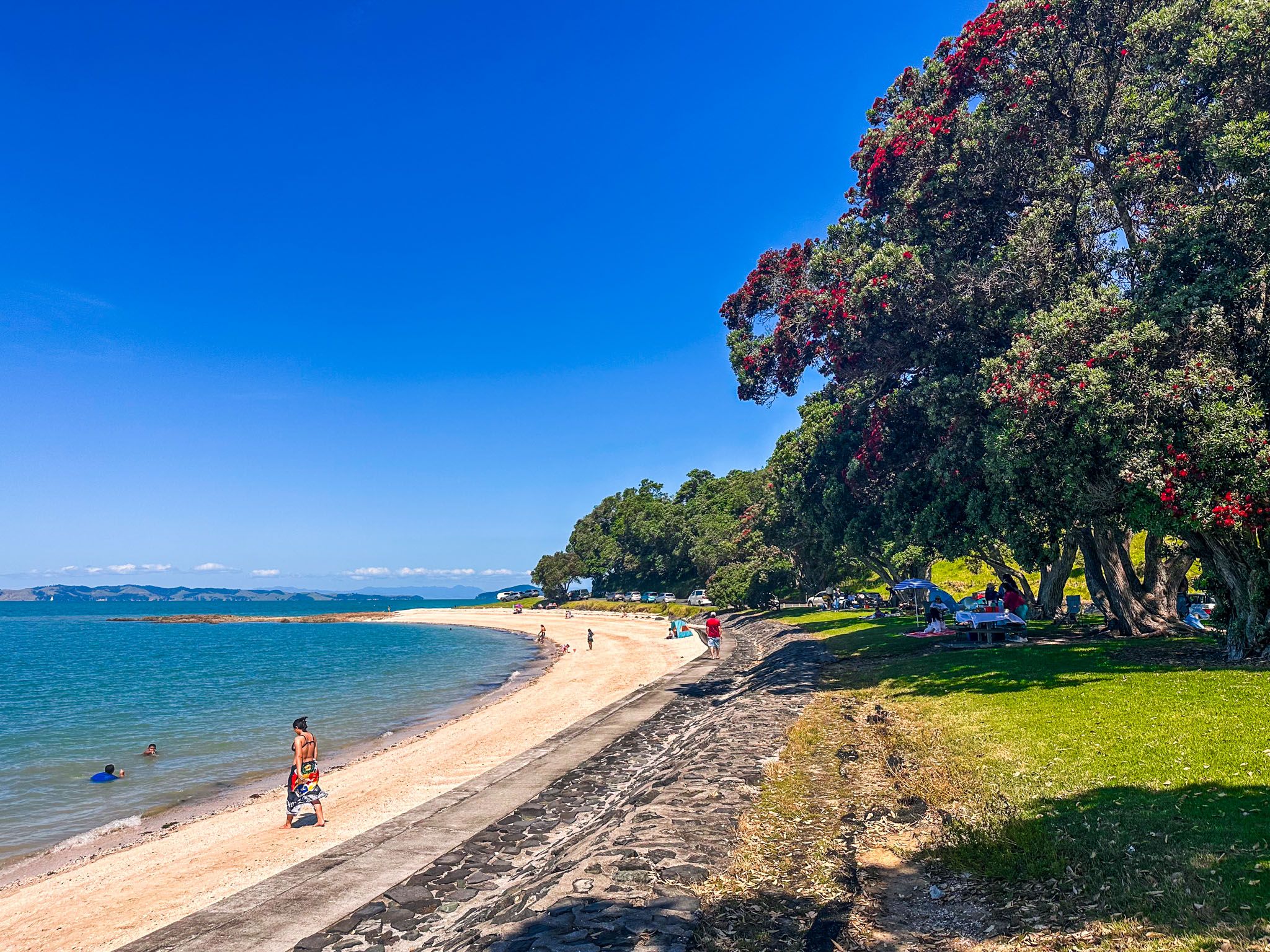
Whitford, located on the eastern edge of Auckland City, is a rural area situated on Tūranga Creek. There is a pleasant loop walk across the stream and through the Village Green. From Whitford, the drive to Beachlands offers a picturesque rural landscape, while Beachlands features a marina at Pine Harbour and a ferry terminal with services to Downtown Auckland. The coastline here is primarily cliffs, with beach access available at Sunkist Bay and Shelly Bay.
The road then heads through suburban Ōmana into Maraetai alongside Maraetai Beach. There are superb views as the road follows the coastline's beaches and cliffs from Maraetai to Umupuia Beach and Duder Regional Park. From Umupuia Beach, North Road leads to Clevedon, where you can discover Clevedon Scenic Reserve, and from there you can complete the loop back to Whitford, taking either scenic Twilight Road or West Road.
Beachlands to Maraetai Walkway
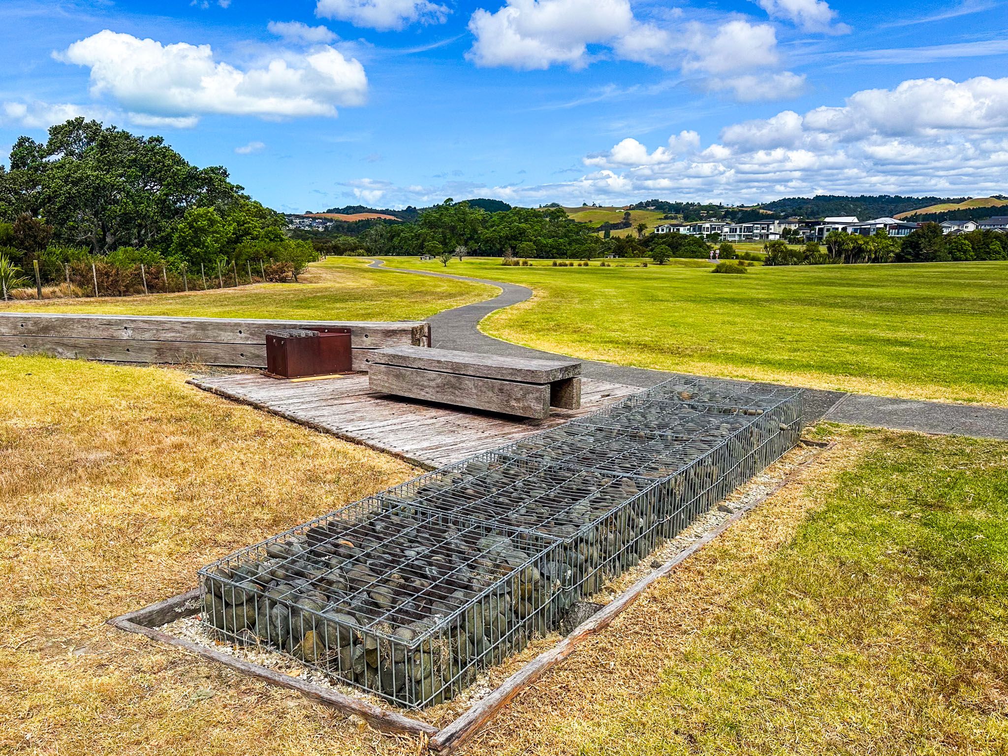
You can also walk or cycle the Beachlands to Maraetai Walkway. This path begins at the ferry terminal, following Belisi Way and suburban roads until it reaches the track that starts in Leigh Auton Reserve, located at the east end of Second Avenue. The track follows the coast to Kellys Bay, then heads into Ōmana Regional Park, Ōmana Beach and Maraetai.