Discover Duder Regional Park on the Pōhutukawa Coast
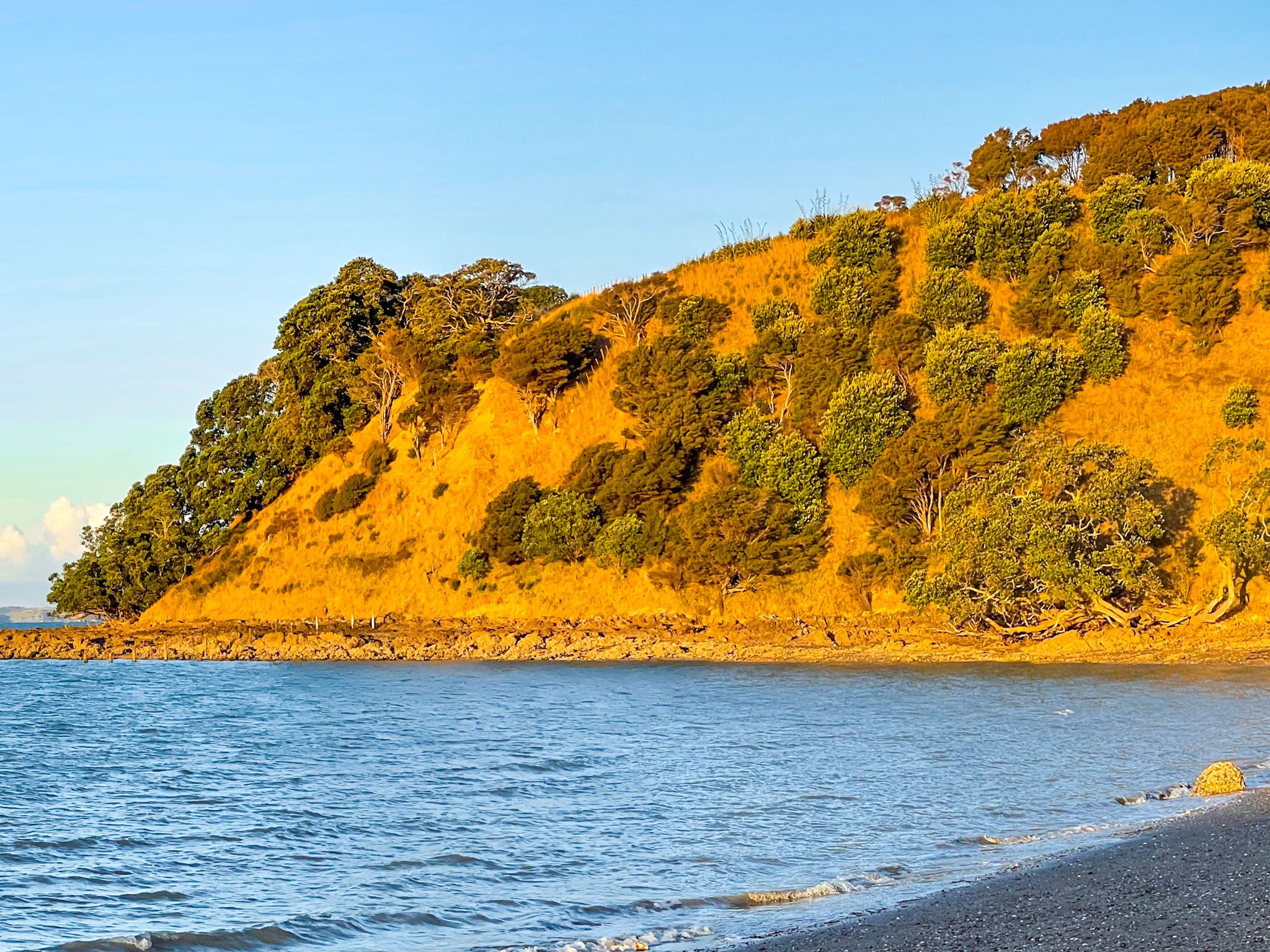
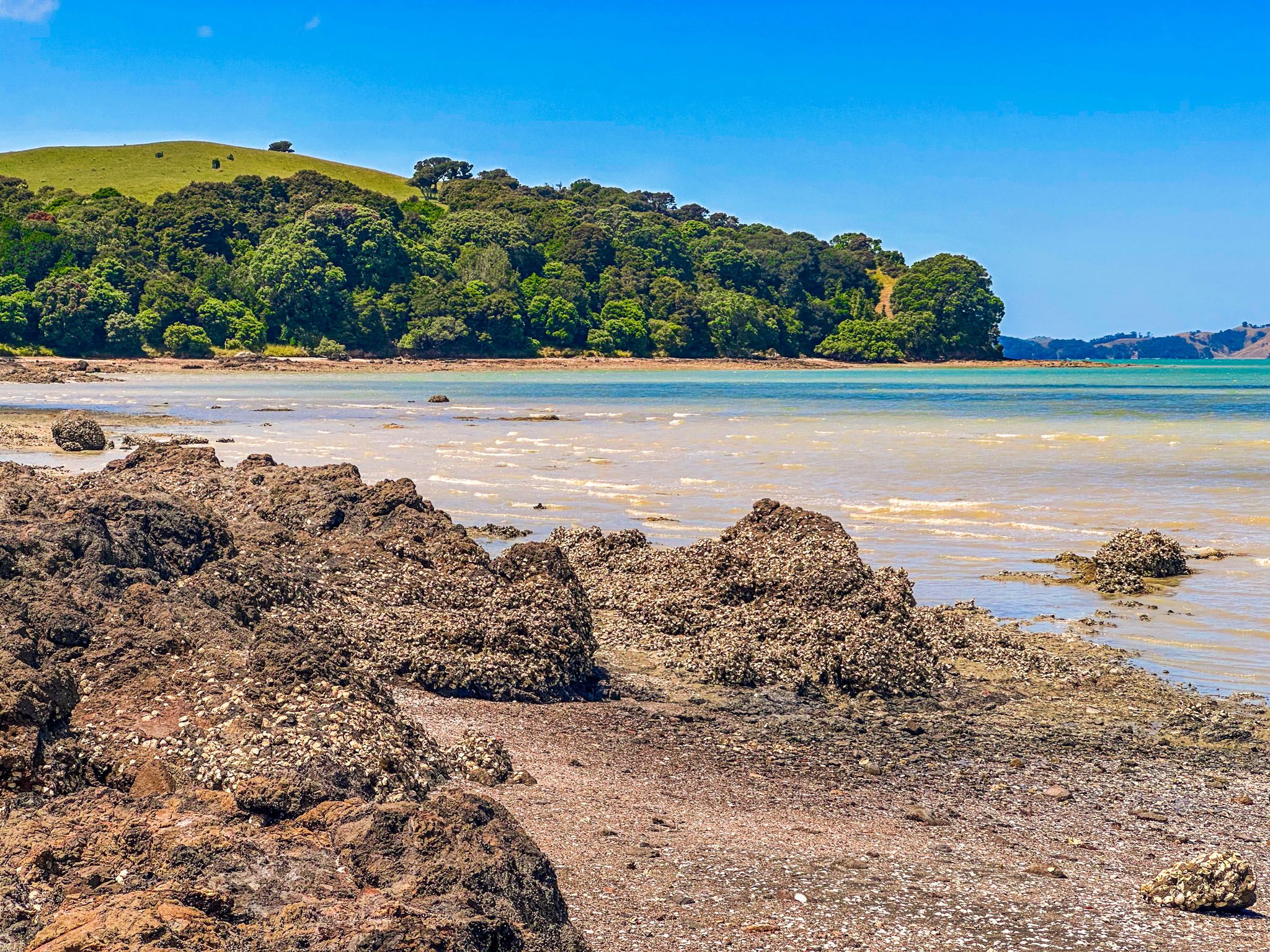
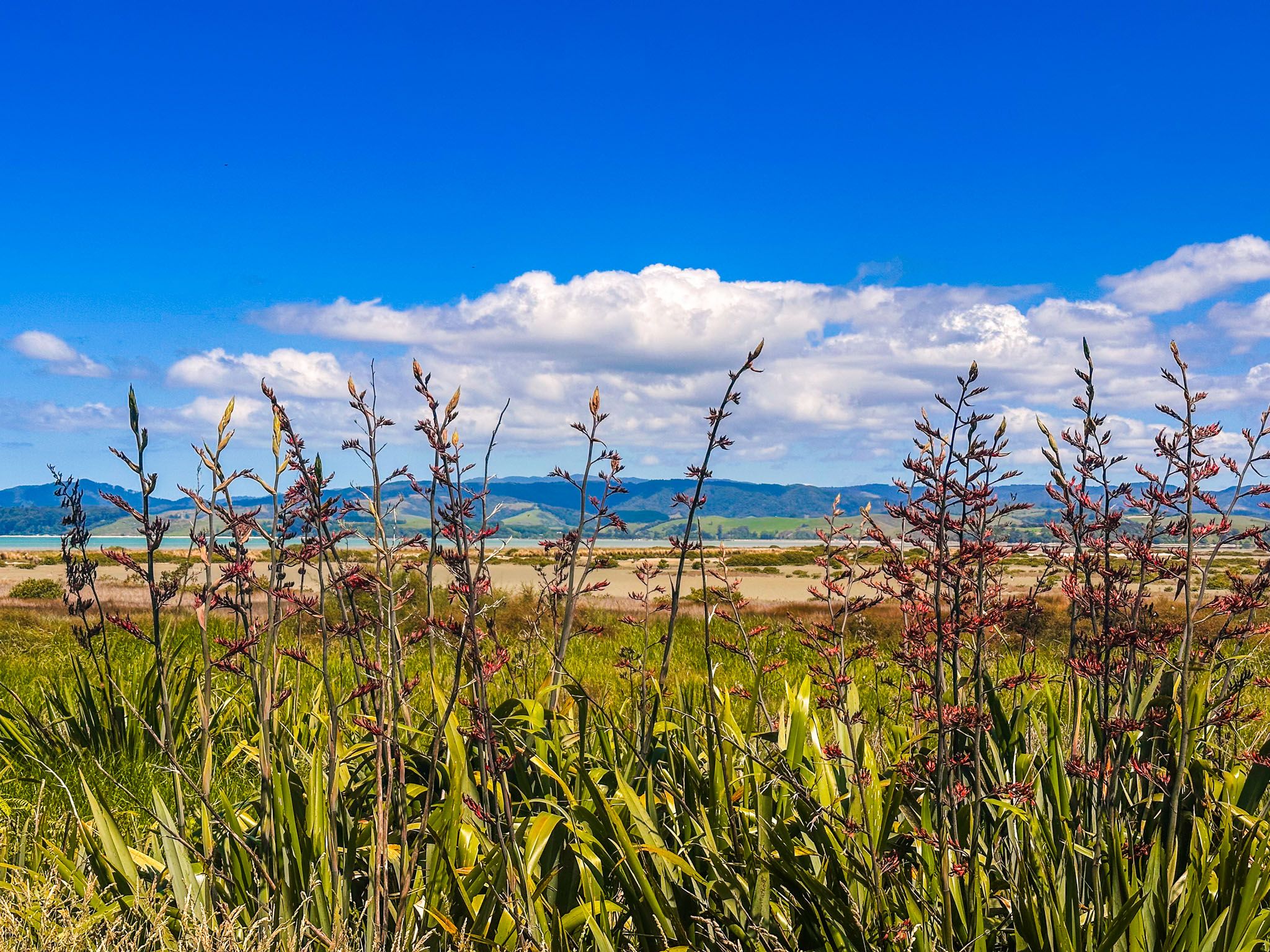
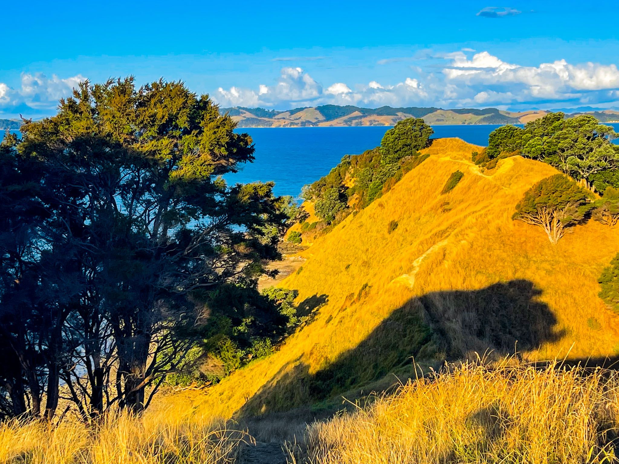
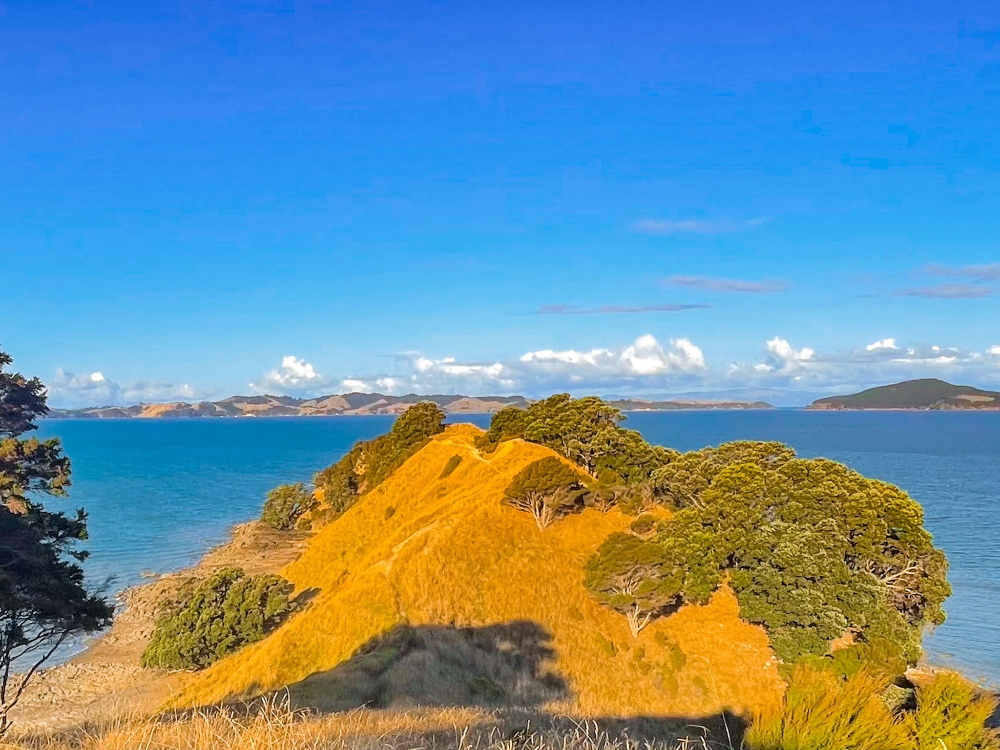
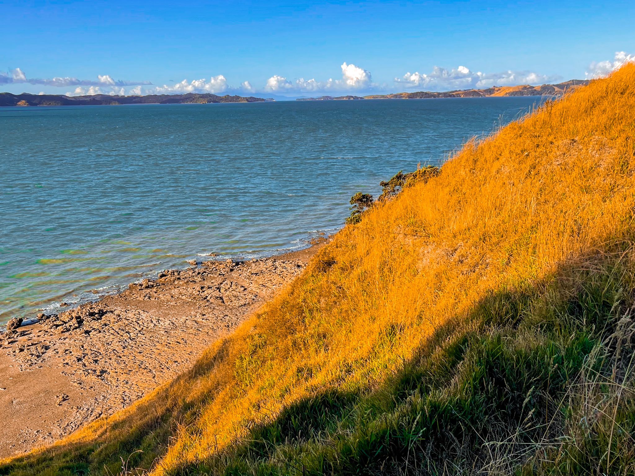
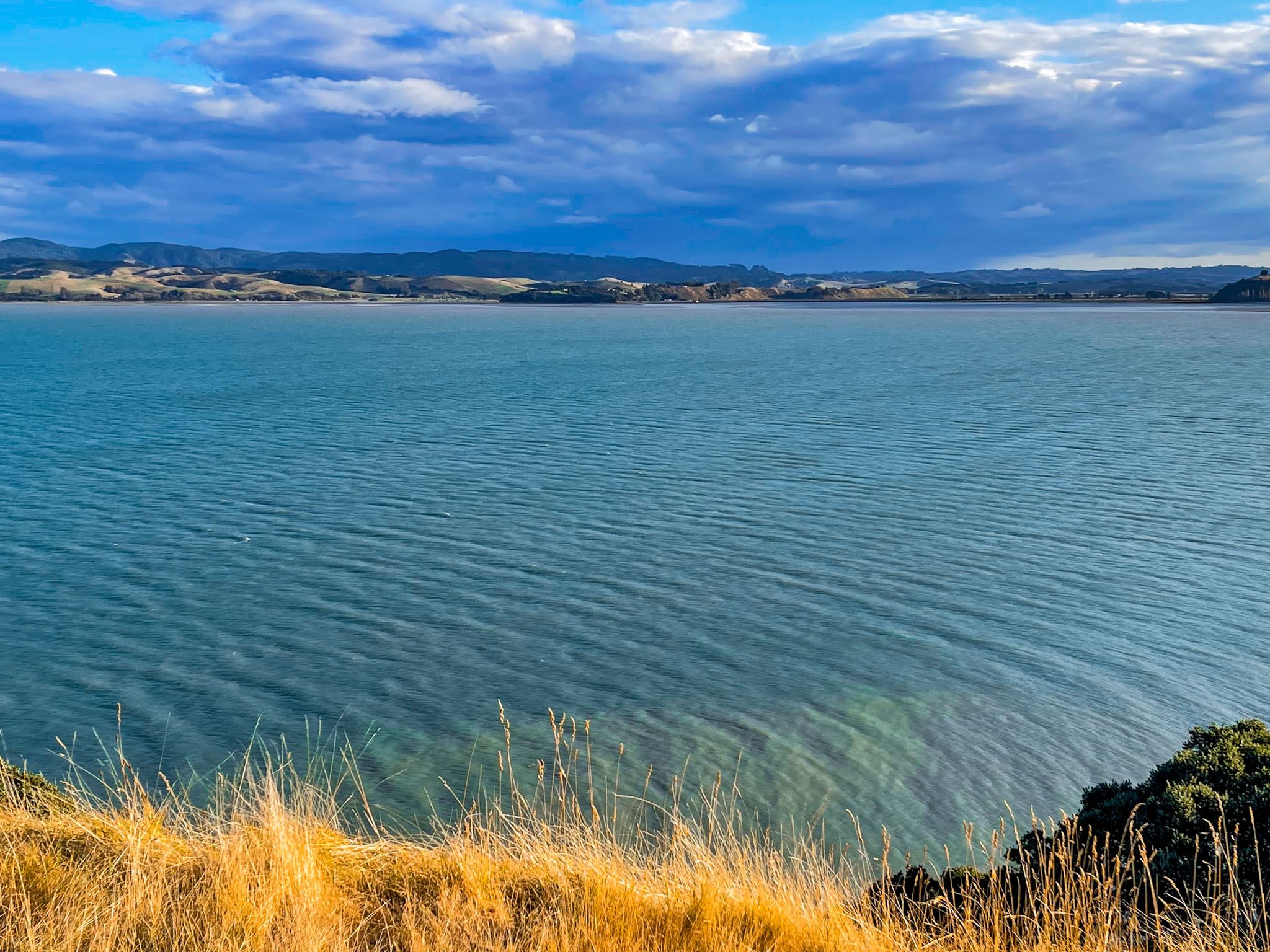
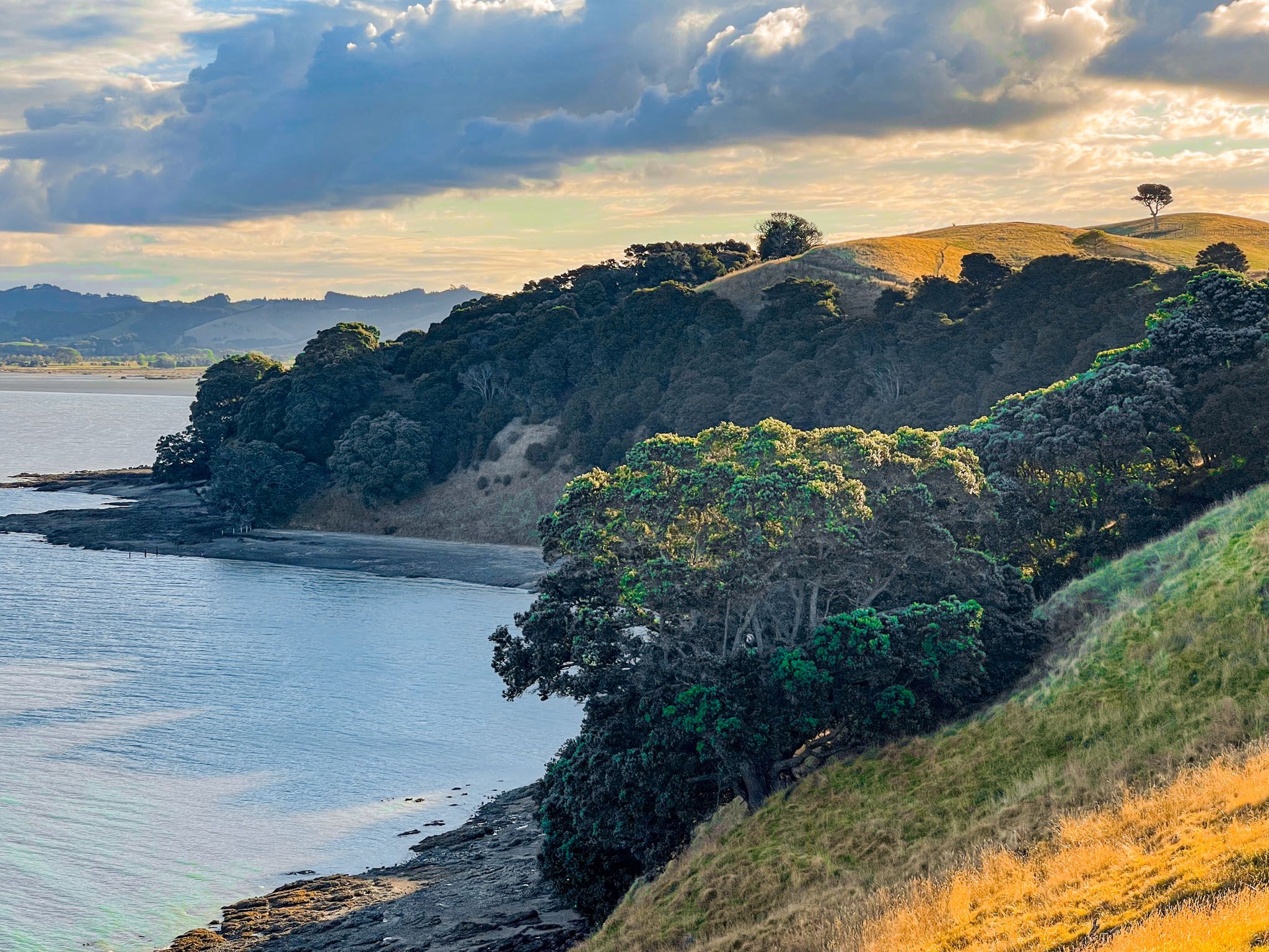
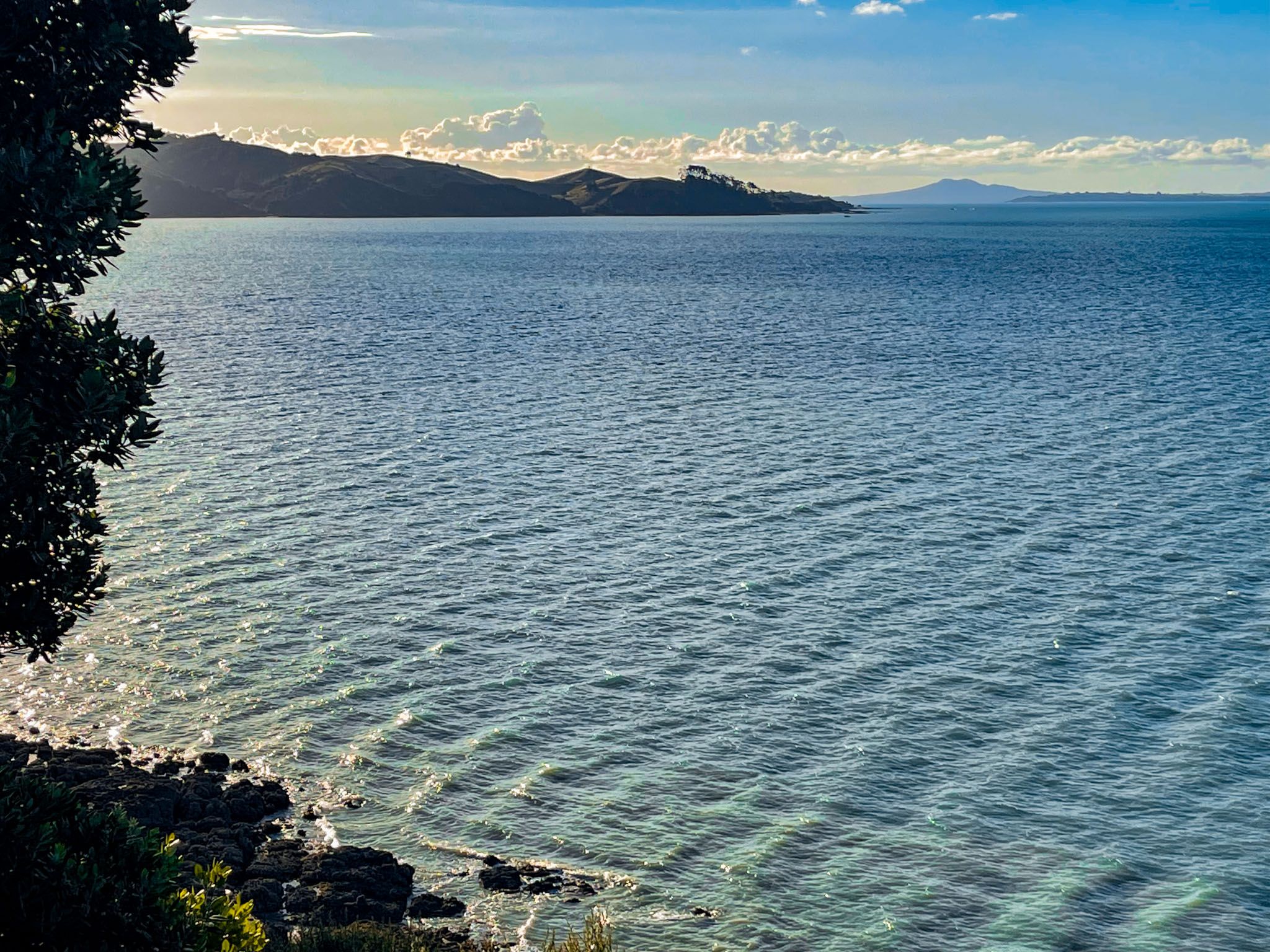
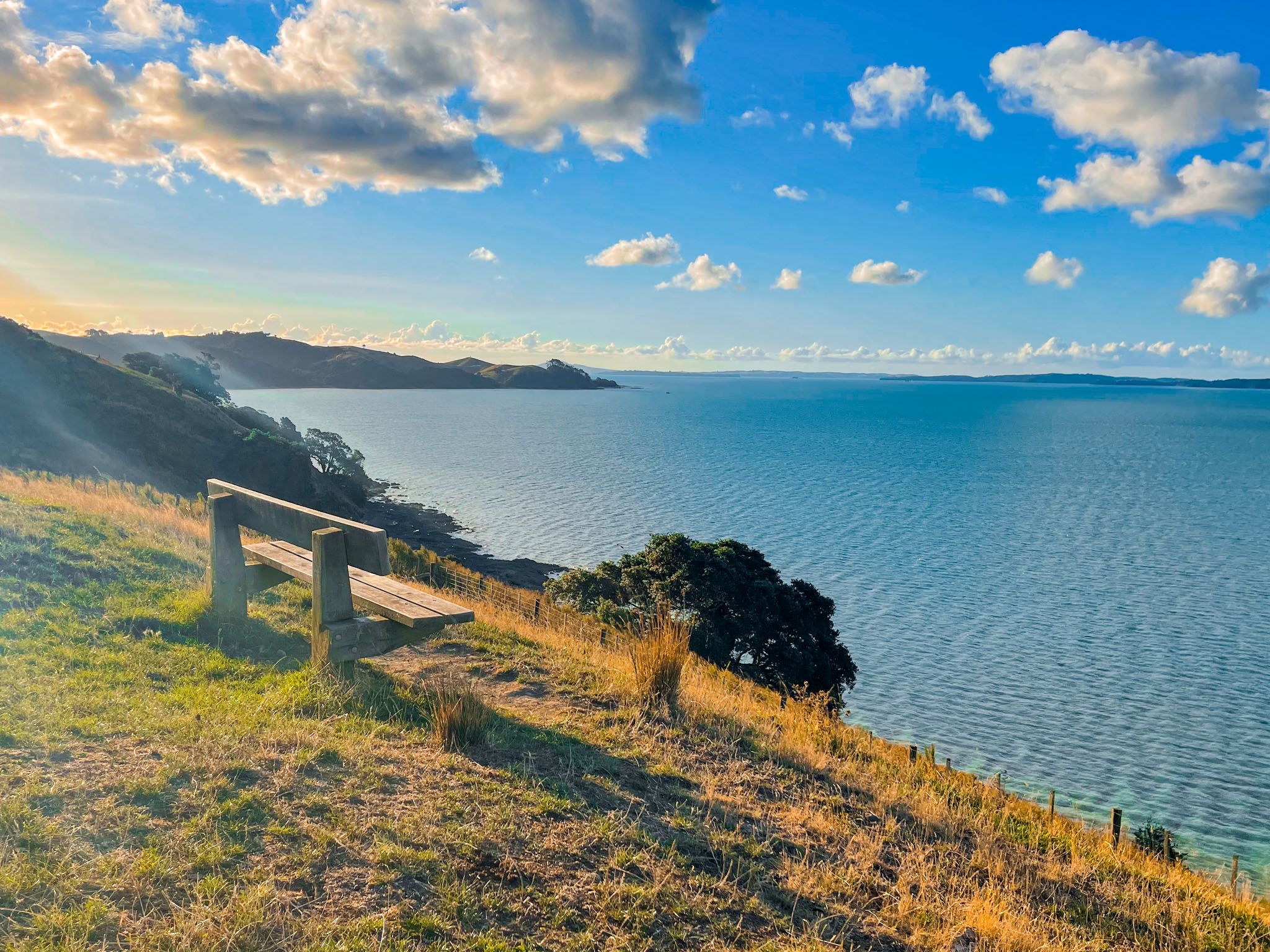
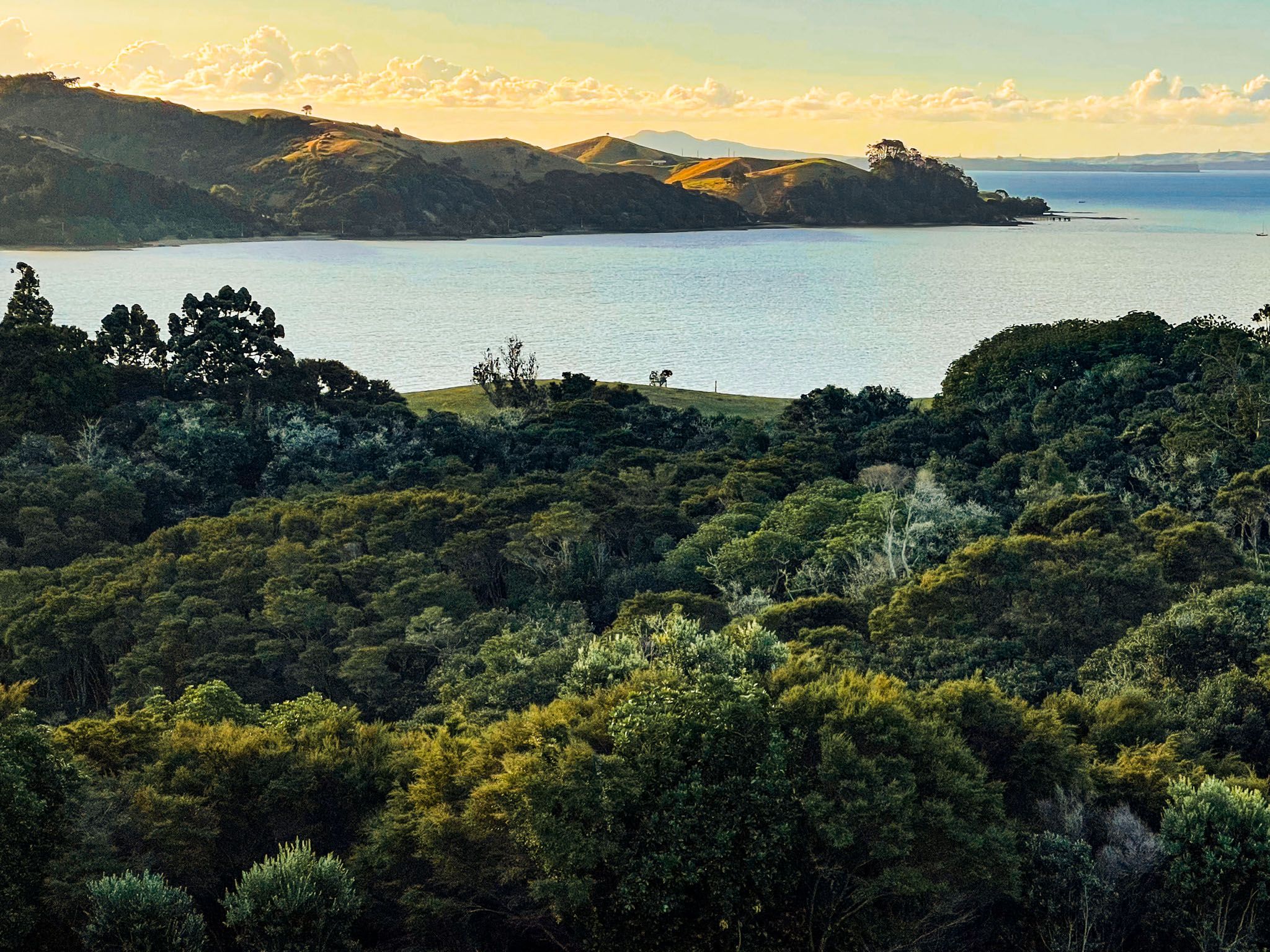
Duder Regional Park is situated on the Whakakaiwhara Peninsula, marking the eastern end of the scenic Pōhutukawa Coast in Auckland. Spanning 162 hectares, this park offers stunning views across the Tāmaki Strait to the islands of the Hauraki Gulf. Visitors can enjoy a variety of outdoor activities, including hiking and kayaking, making it a must-visit destination for nature enthusiasts.
Exploring the Park's Landscape and Trails
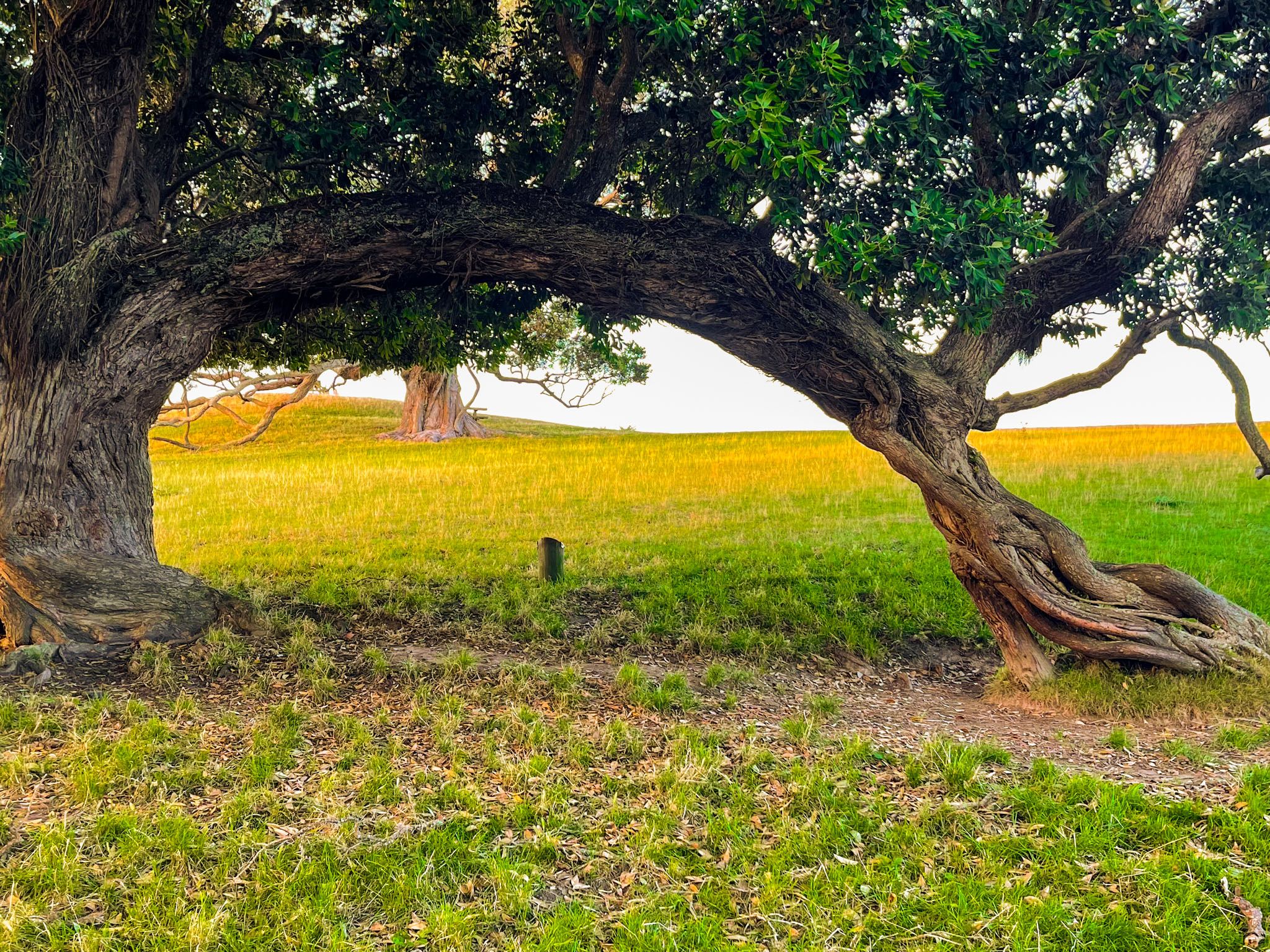
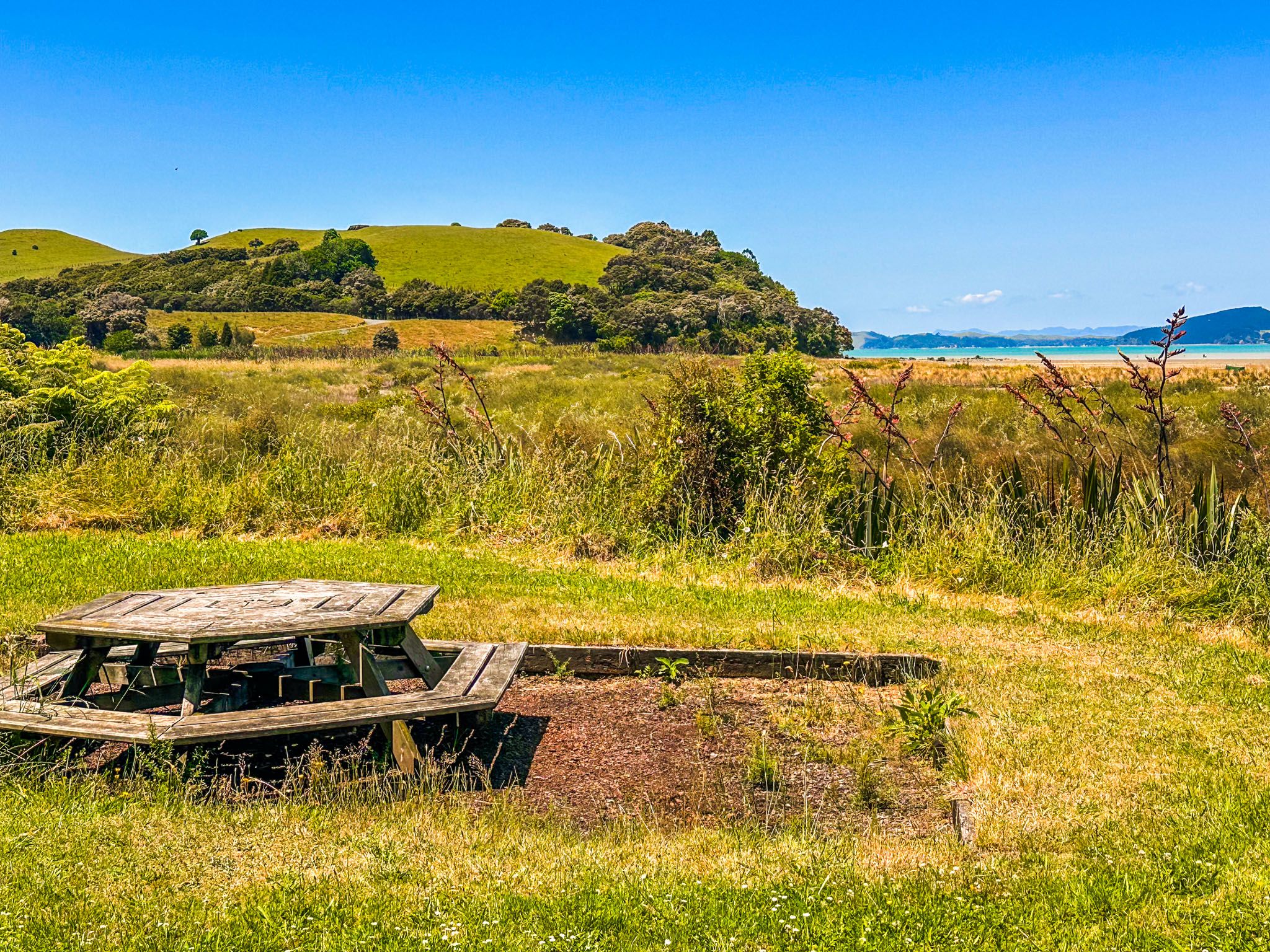
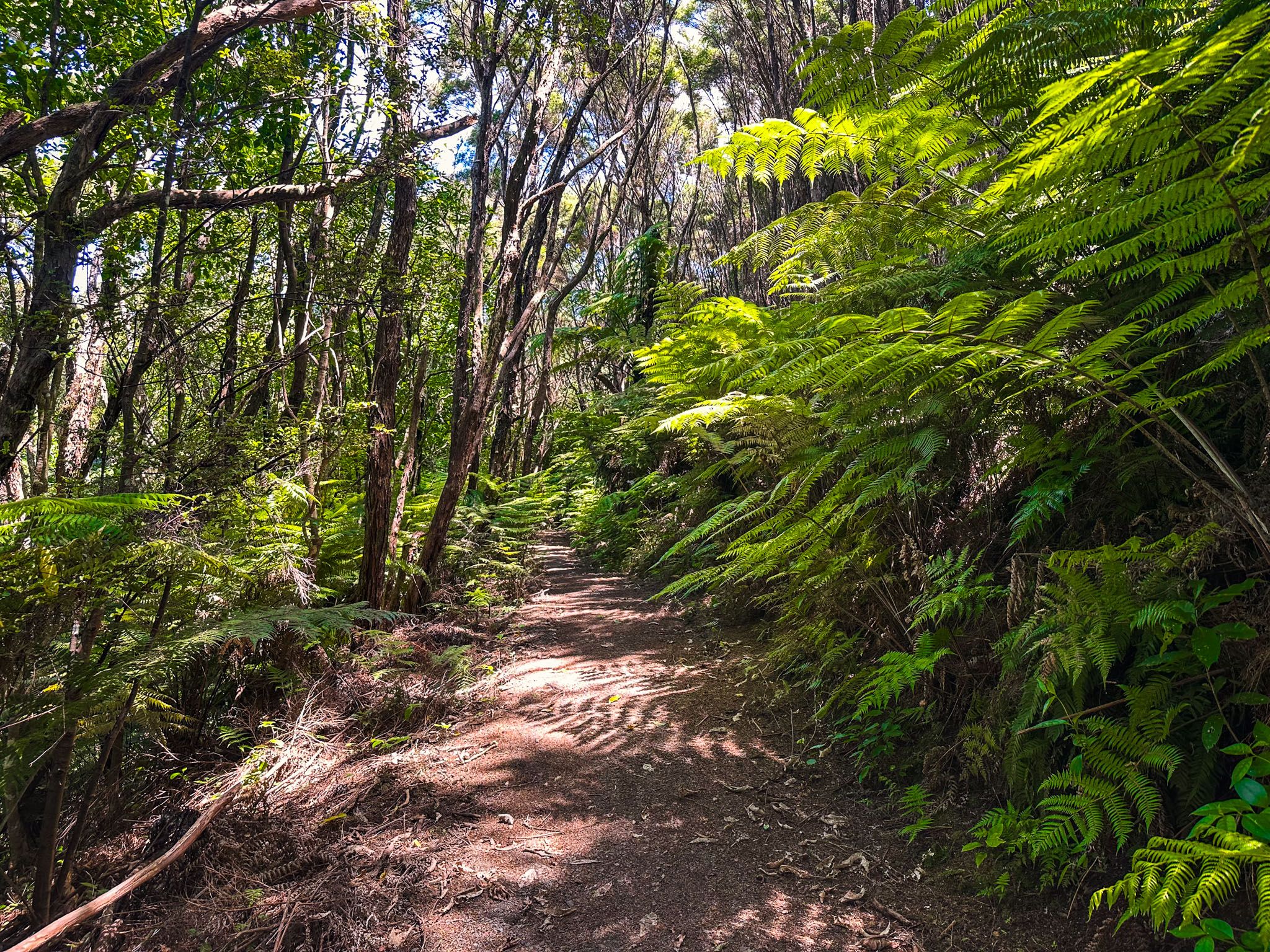
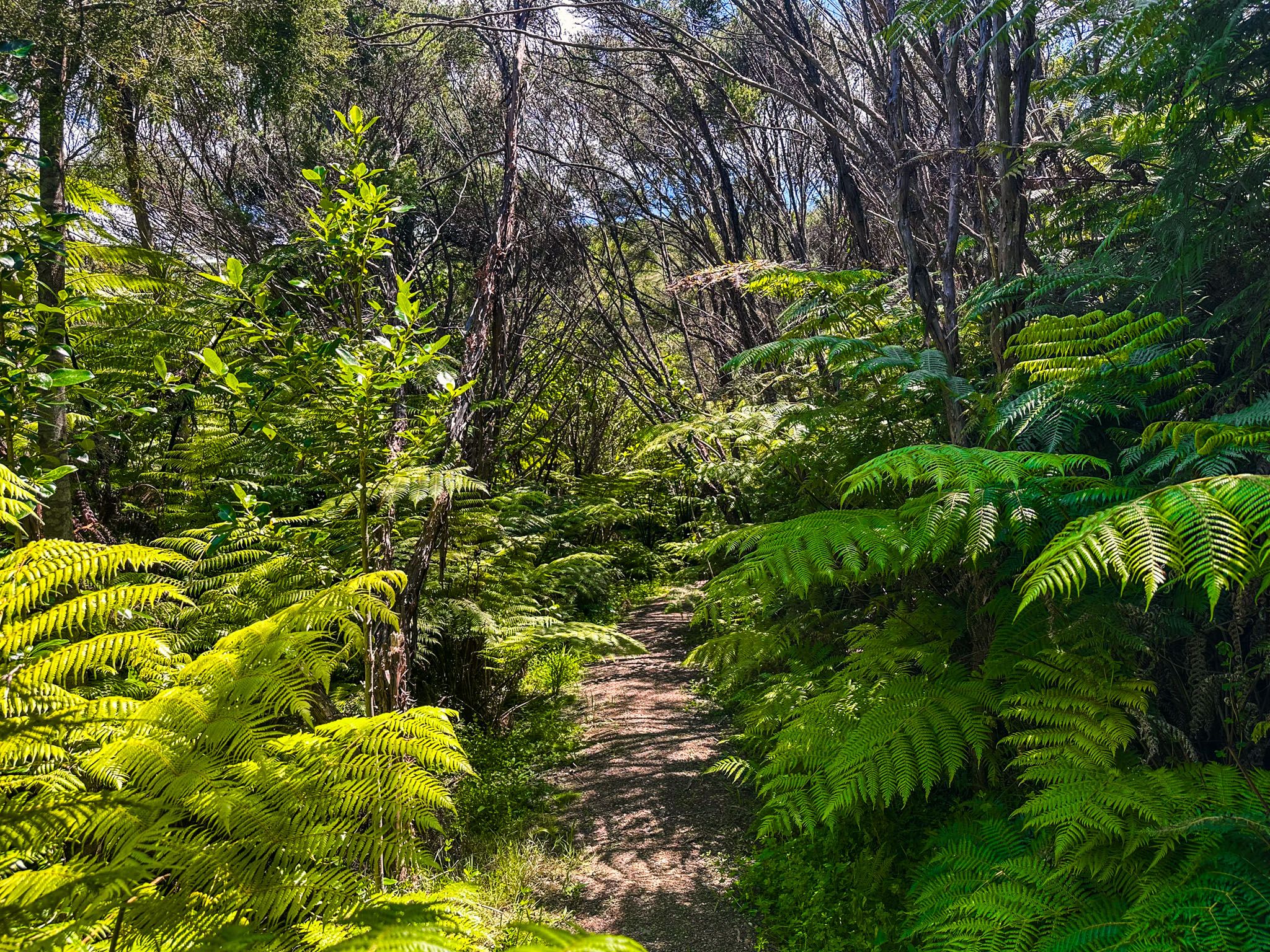
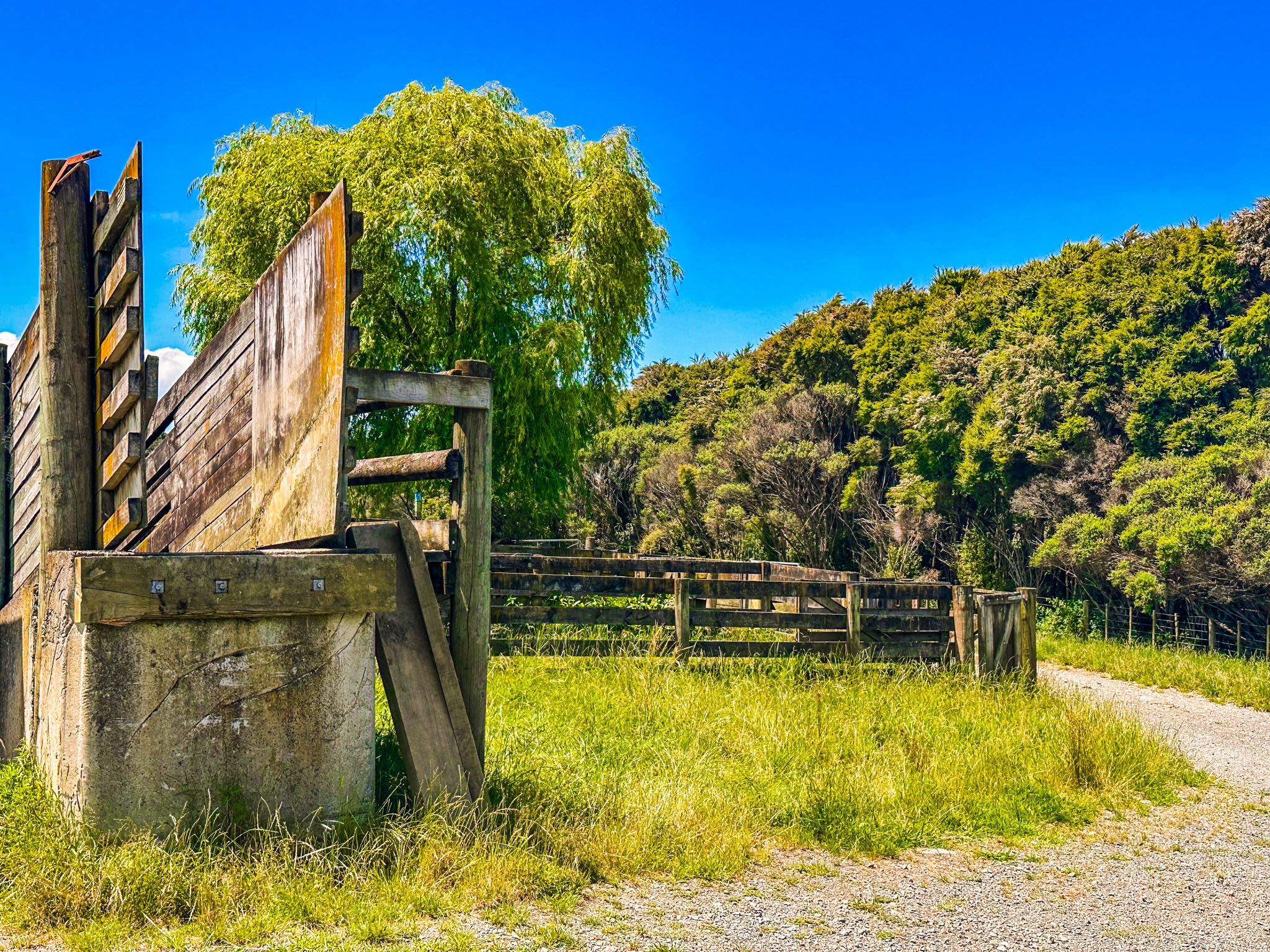
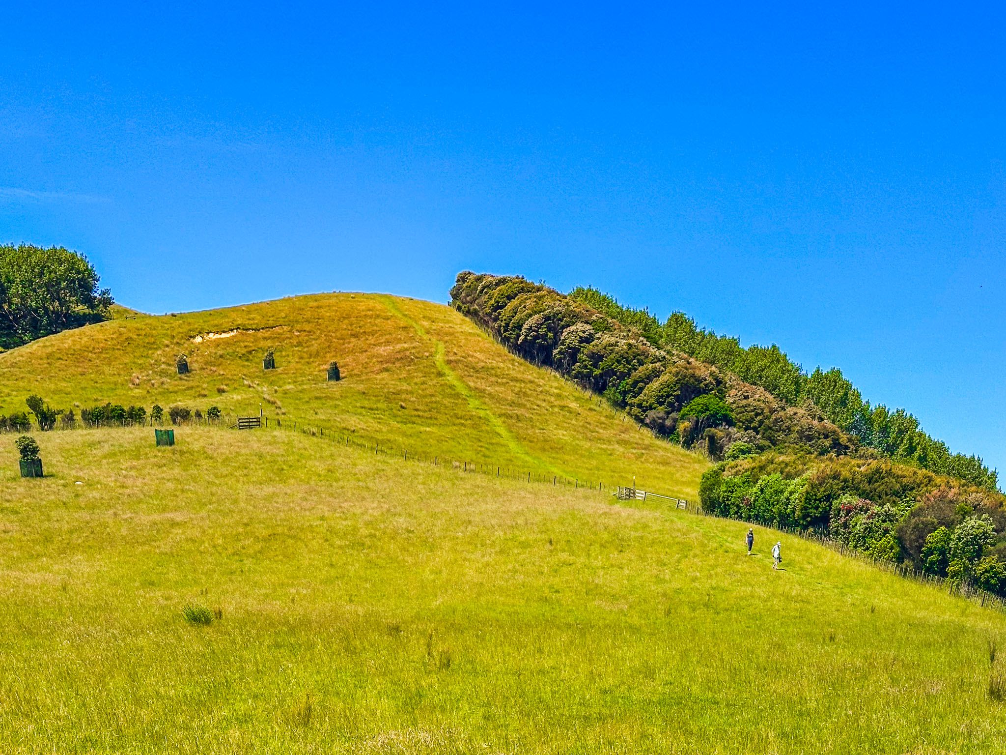
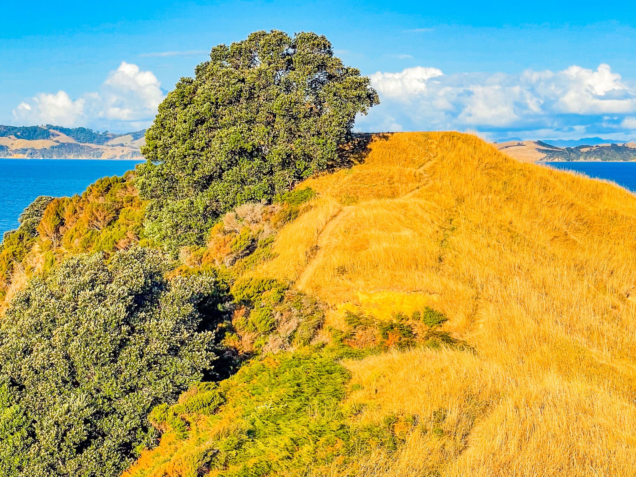
The park features steep, grass-covered hills that extend northeast along the peninsula. As a working sheep farm, it provides public access through a network of tracks. The Farm Loop and Sustainable Track, both accessible from the main car park, lead to the hilltops in just 20 to 30 minutes, offering panoramic views. The Te Wharau Bay Walk, a 45-minute trek each way, takes visitors to the best beach on the southeast side of the peninsula. This area also supports the Te Ara Moana kayaking trail with a campsite available for multi-day adventures.
Natural Features and Wildlife
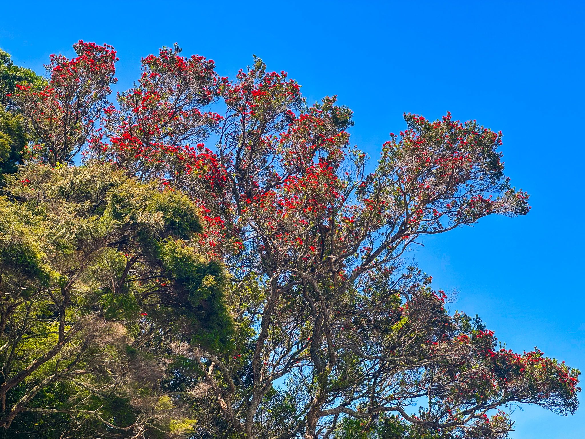
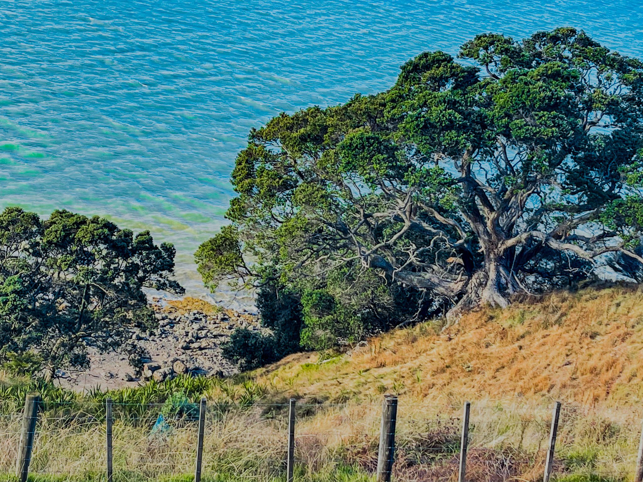
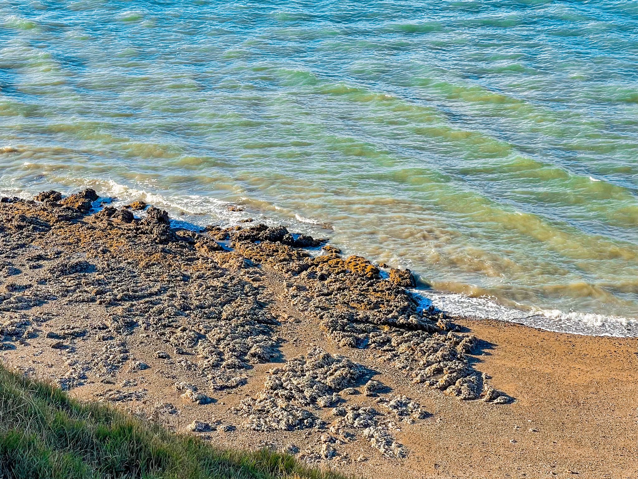
Duder Regional Park is home to recovering forests in several gullies and coastal areas, featuring kauri trees that were once prevalent before European settlement. The Sustainable Track provides access through one such gully. The park also includes tidal mudflats and shell banks, which are important habitats for migratory birds, although access to these areas is restricted.
Historical Significance of the Peninsula
The Whakakaiwhara Peninsula has a rich history, first visited by the Tainui waka in the 1300s. The name Whakakaiwhara originates from the crew's consumption of tāwhara, the edible flowers of the kiekie vine. The area became home to the Ngāi Tai ki Tāmaki iwi, with Whakakaiwhara Pā and Te Oue Pā serving as central sites by the 1600s. The iwi's presence was affected by European contact and the Musket Wars in the 1820s, leading to eventual displacement and land sales.
Development and Conservation Efforts
In 1866, the peninsula was sold to Thomas Duder, who developed it into a sheep farm and orchard with the help of local iwi. The land remained largely undeveloped until the 1930s, when it was cleared for farming. Although plans for a seaplane base during World War II never materialised, the area was used for military training. The Duder family operated the farm until 1995, when it was sold to Auckland City to establish the regional park. An additional 13.7 hectares were added in 2010 to protect the park's views from coastal development.
Getting to Duder Regional Park
To reach Duder Regional Park, take North Road from Clevedon or Maraitai Coast Road from Maraetai. The park offers a car park with information panels and space for up to five camper vans to stay overnight. Two houses at the end of Maraetai Coast Road are available for booking. From Downtown Auckland, it is a 48-minute, 49 km drive.
There are many other places to explore near the park. Umupuia Beach lies immediately to the west of the park, and the lovely beaches of Waiomanu Beach and Magazine Bay are a short drive back along Maraetai Coast Road. A little further away are Ōmana Regional Park, located between Maraetai and Beachlands, and Clevedon Scenic Reserve on the edge of Clevedon.