Discovering Ōmana Regional Park
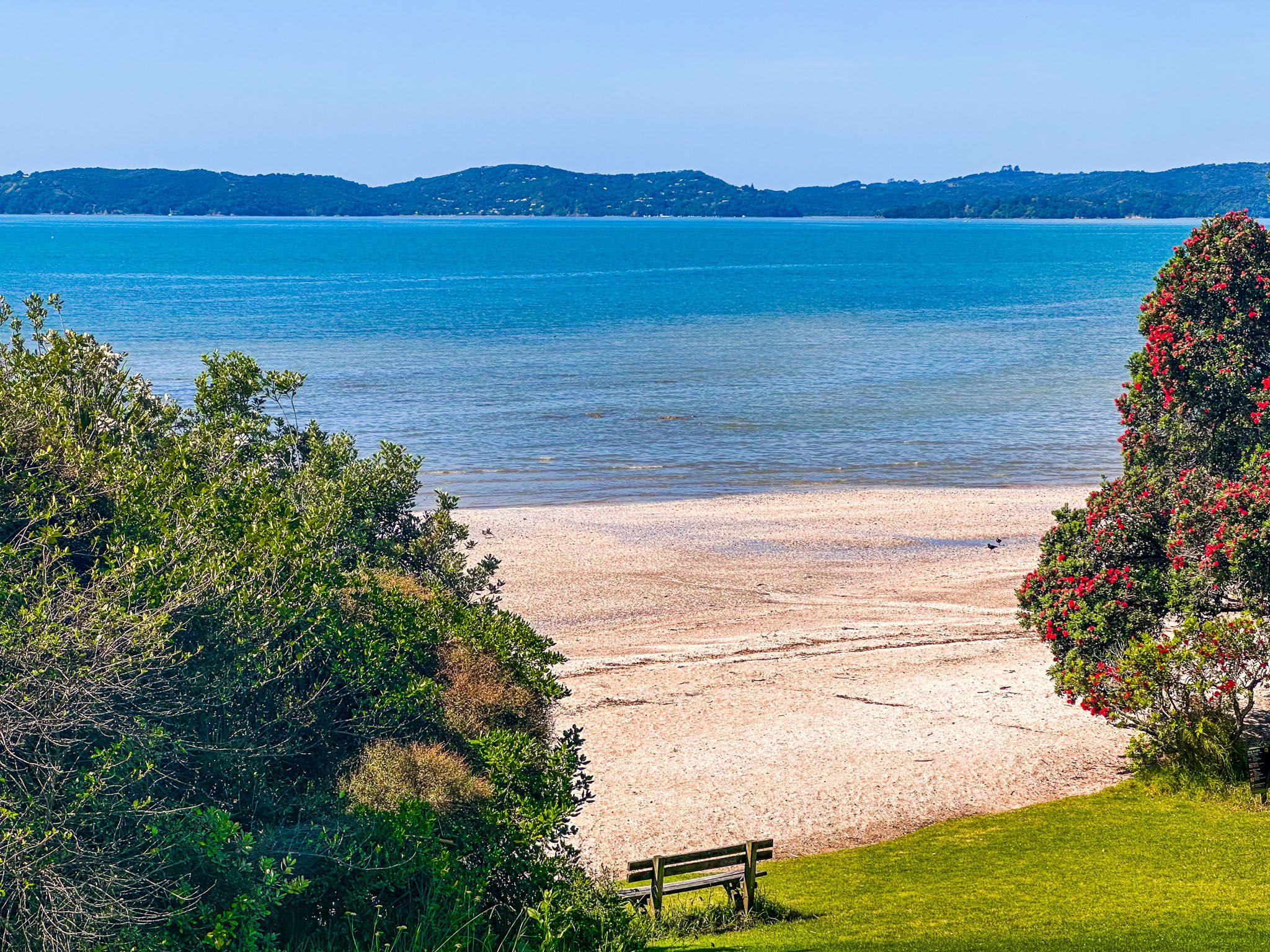
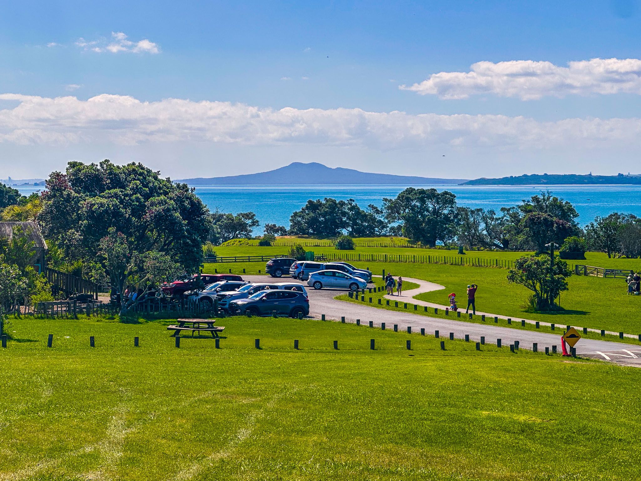
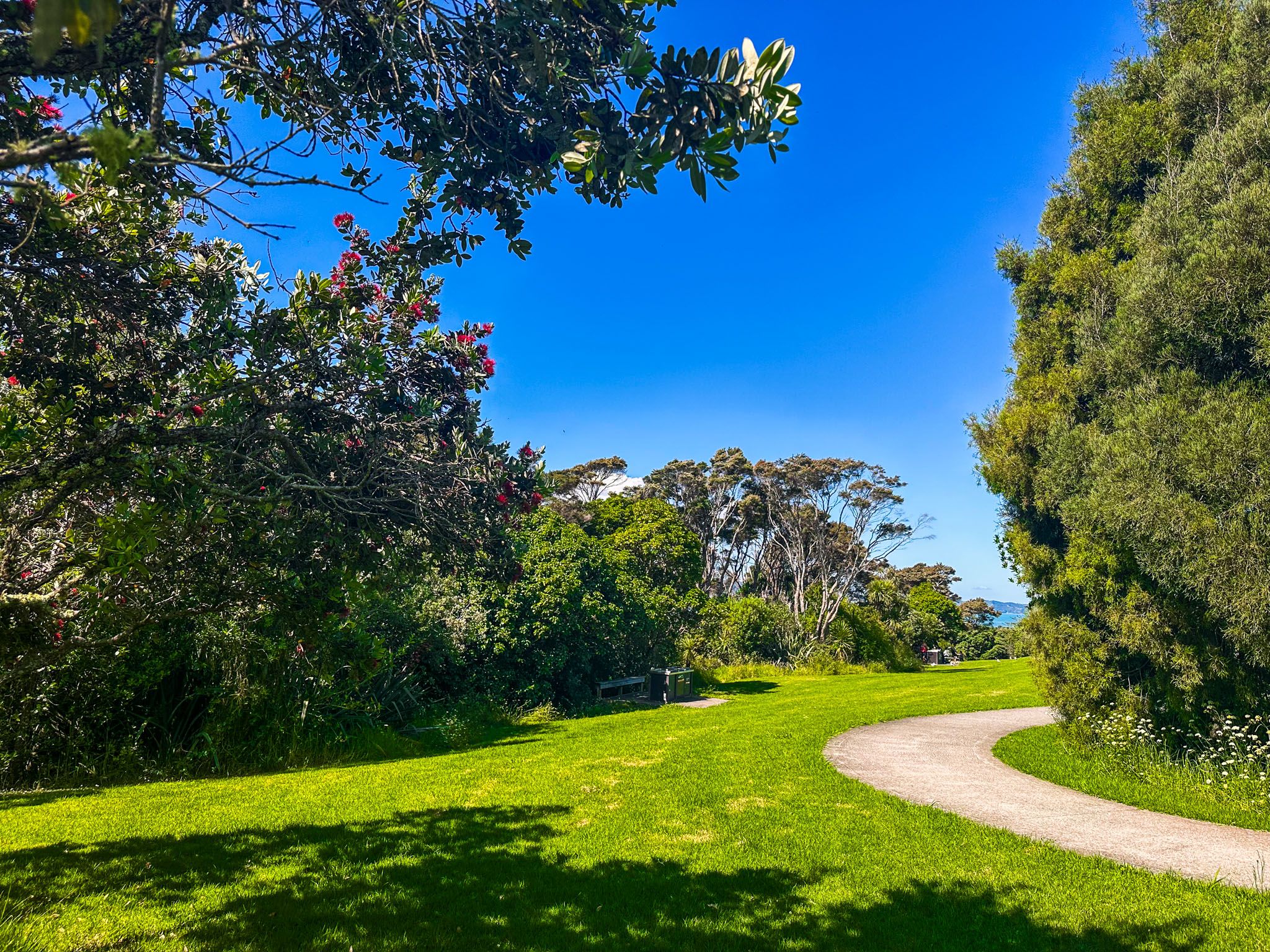
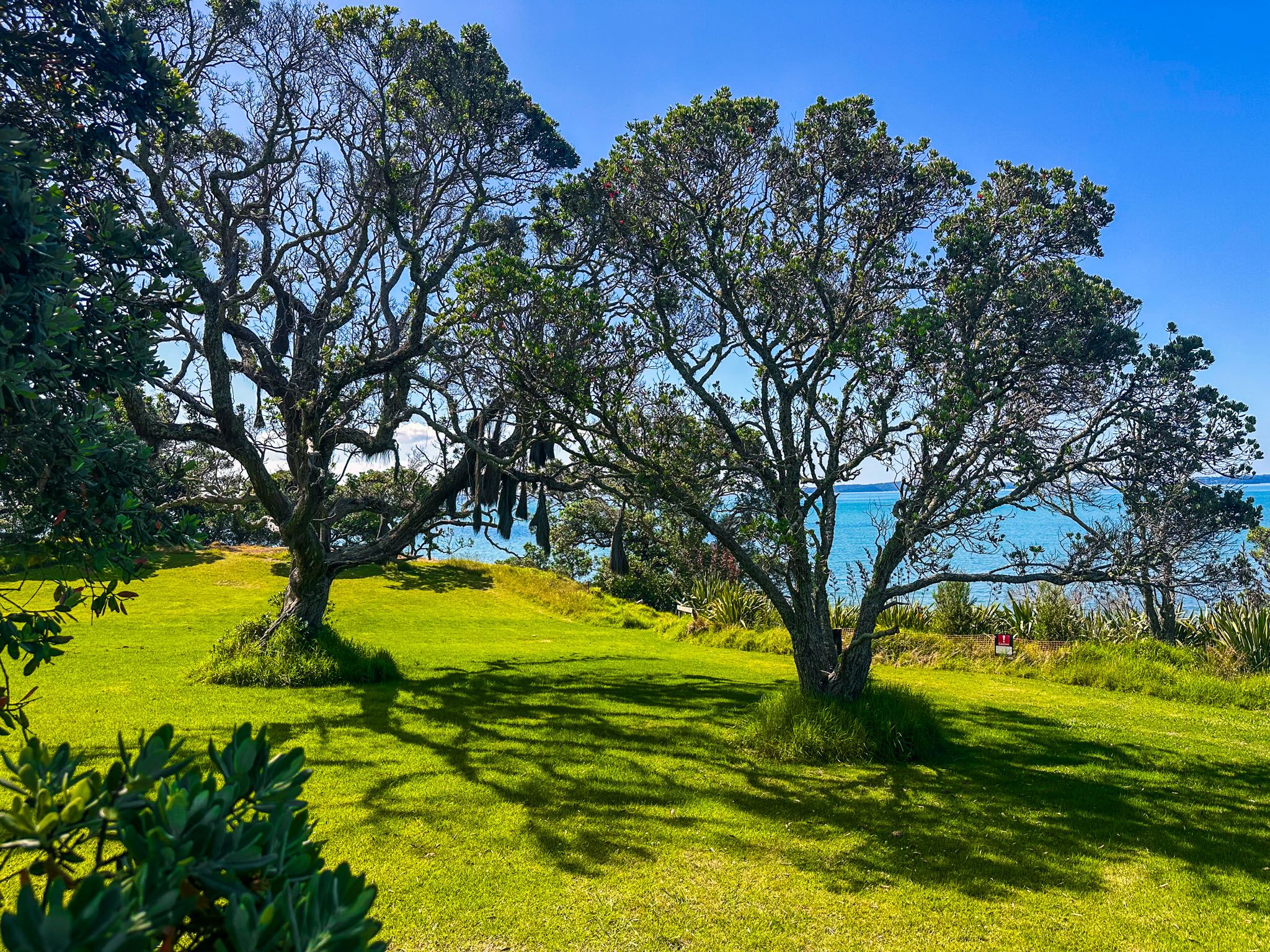
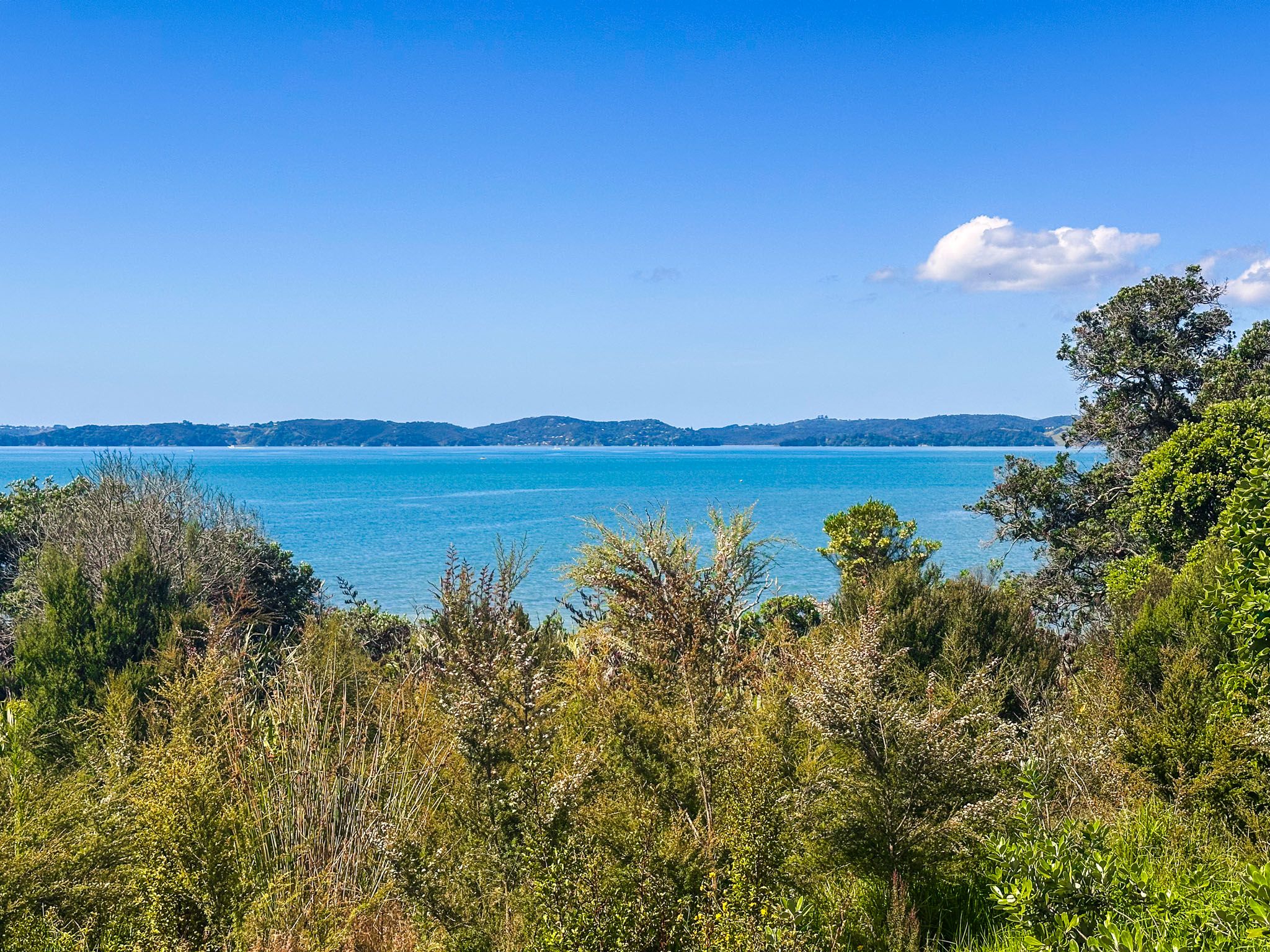
Ōmana Regional Park is located on the Pōhutukawa Coast in southeast Auckland between the communities of Beachlands and Maraetai. This 41-hectare park, managed by Auckland City, offers a combination of pastoral and recreational spaces. You can enjoy stunning views from the park's highest point, approximately 40 metres above sea level, with vistas stretching from Maraetai to Beachlands and across the Hauraki Gulf to Rangitoto and Waiheke.
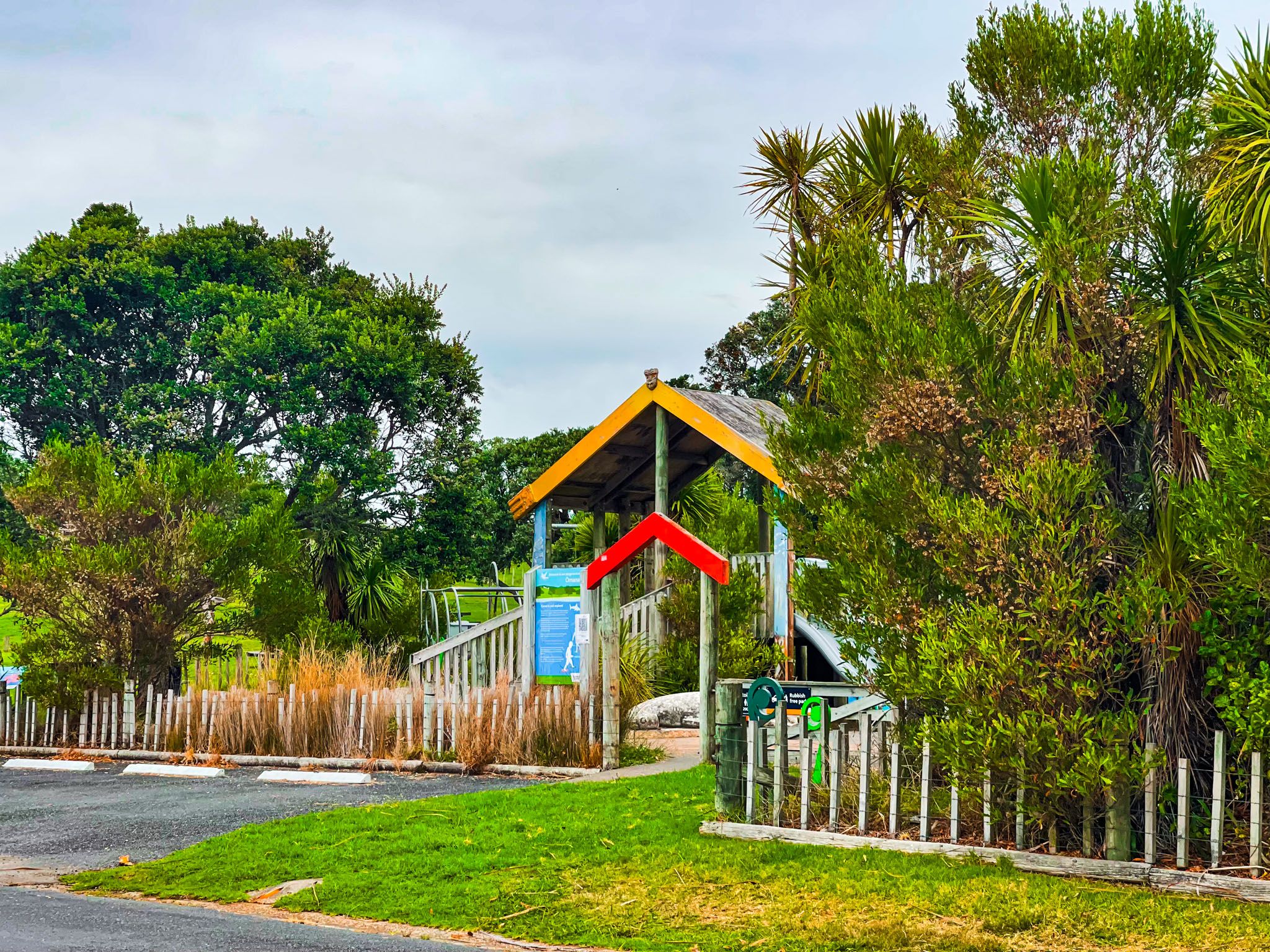
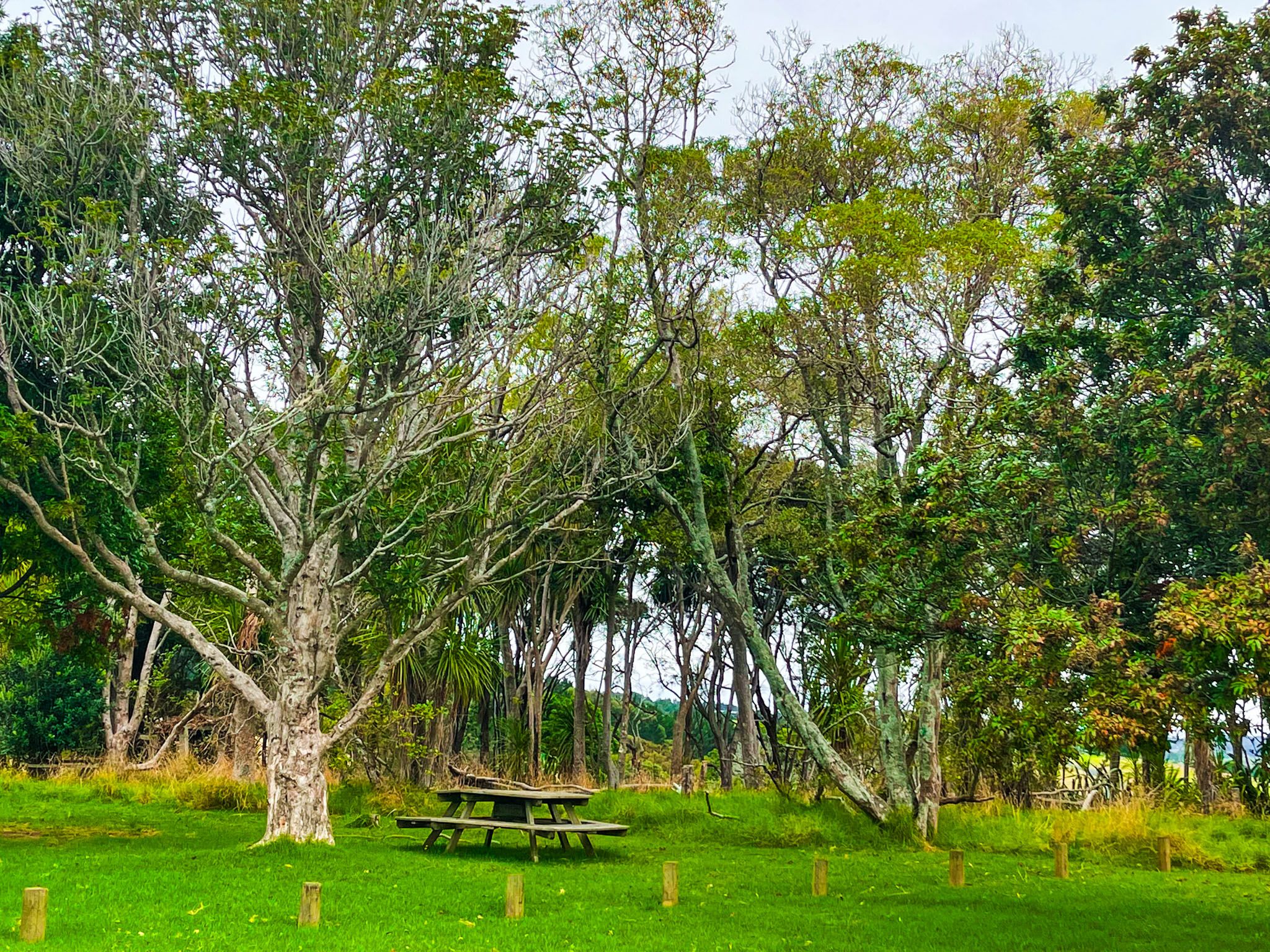
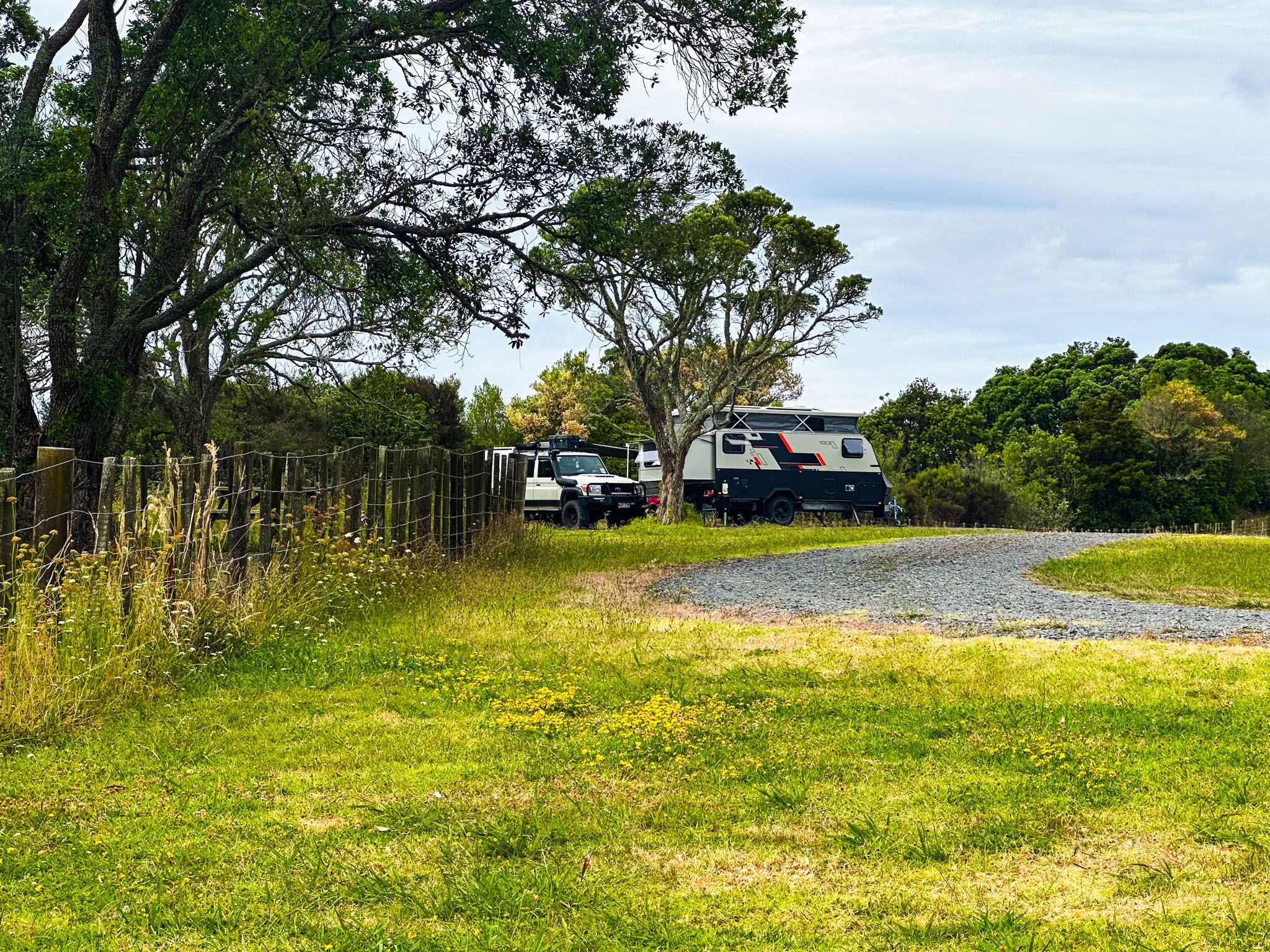
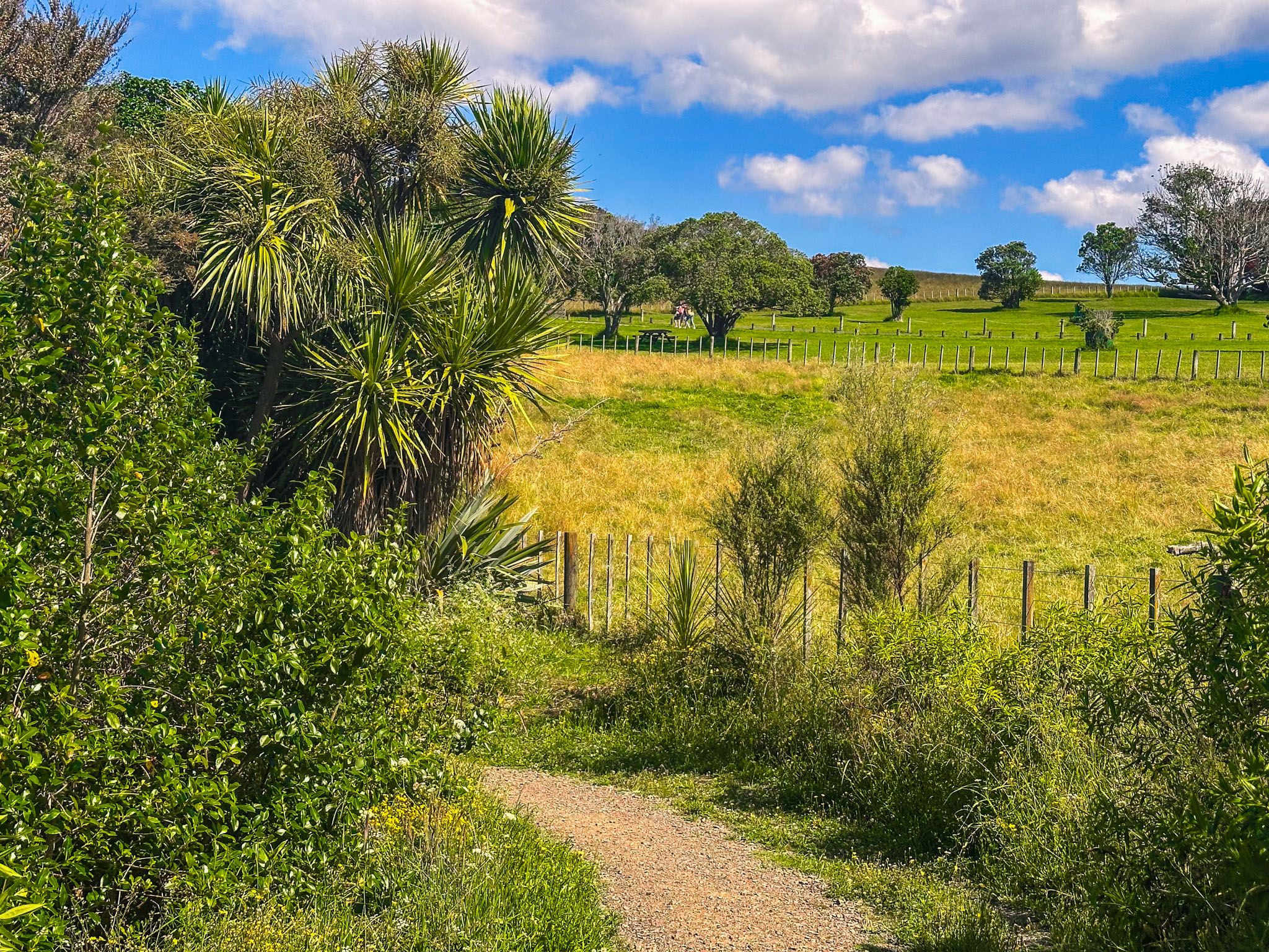
There is ample parking within the park, with picnic areas located above Ōmana Beach and near the hilltop. Continuing along the internal park road leads to the Cliff Top Campground on the park's northwest side.
Exploring the Park's Landscape
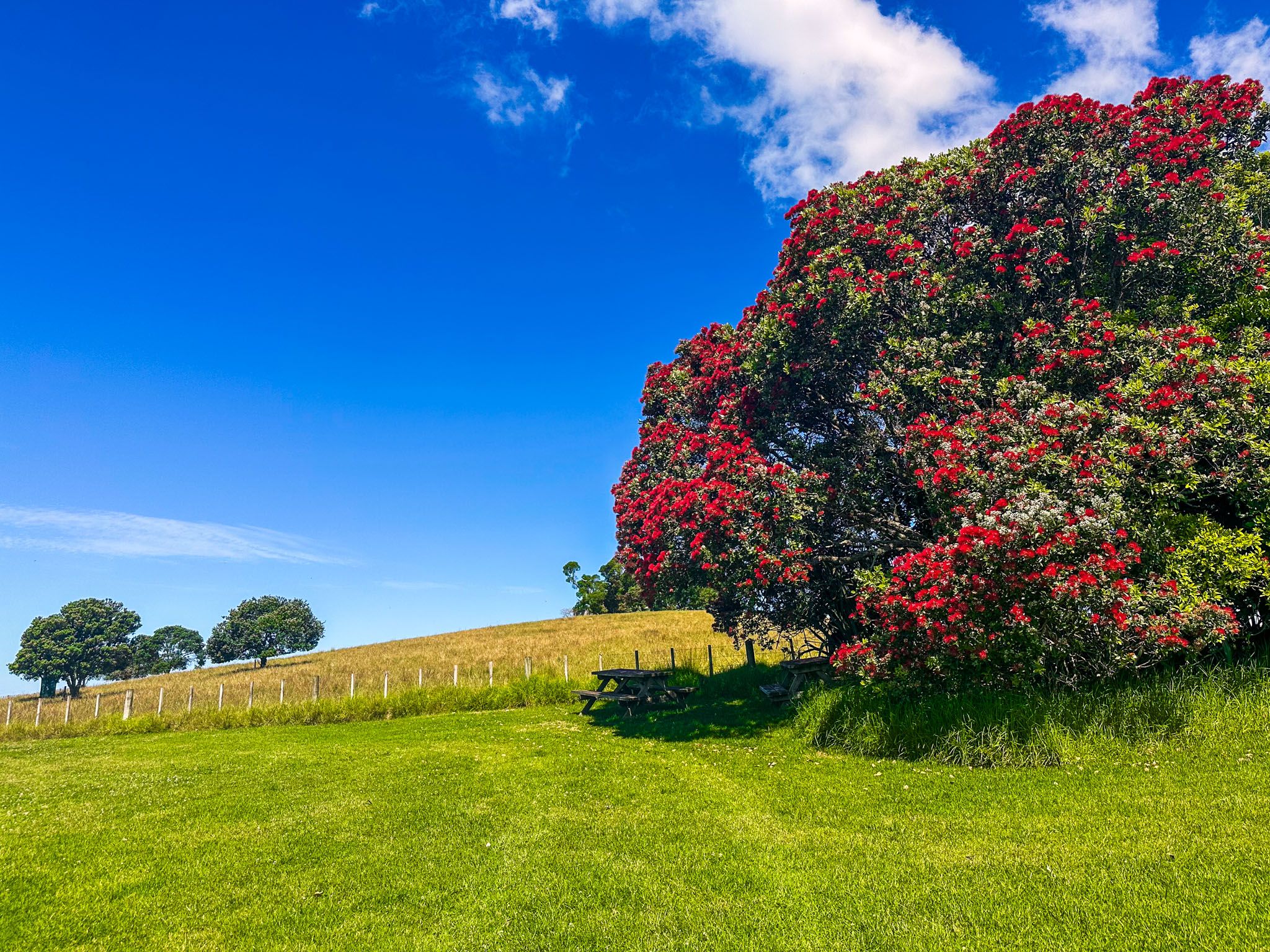
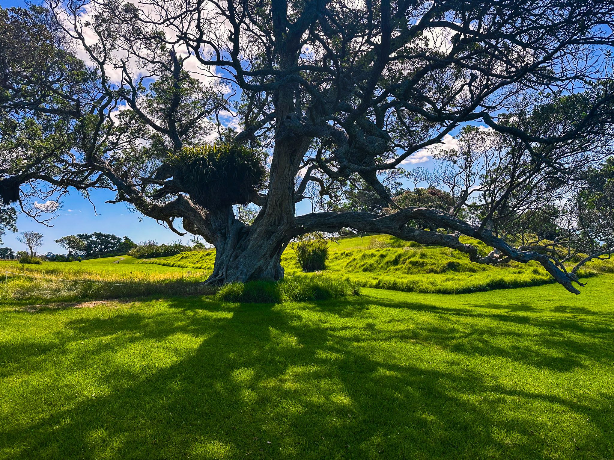
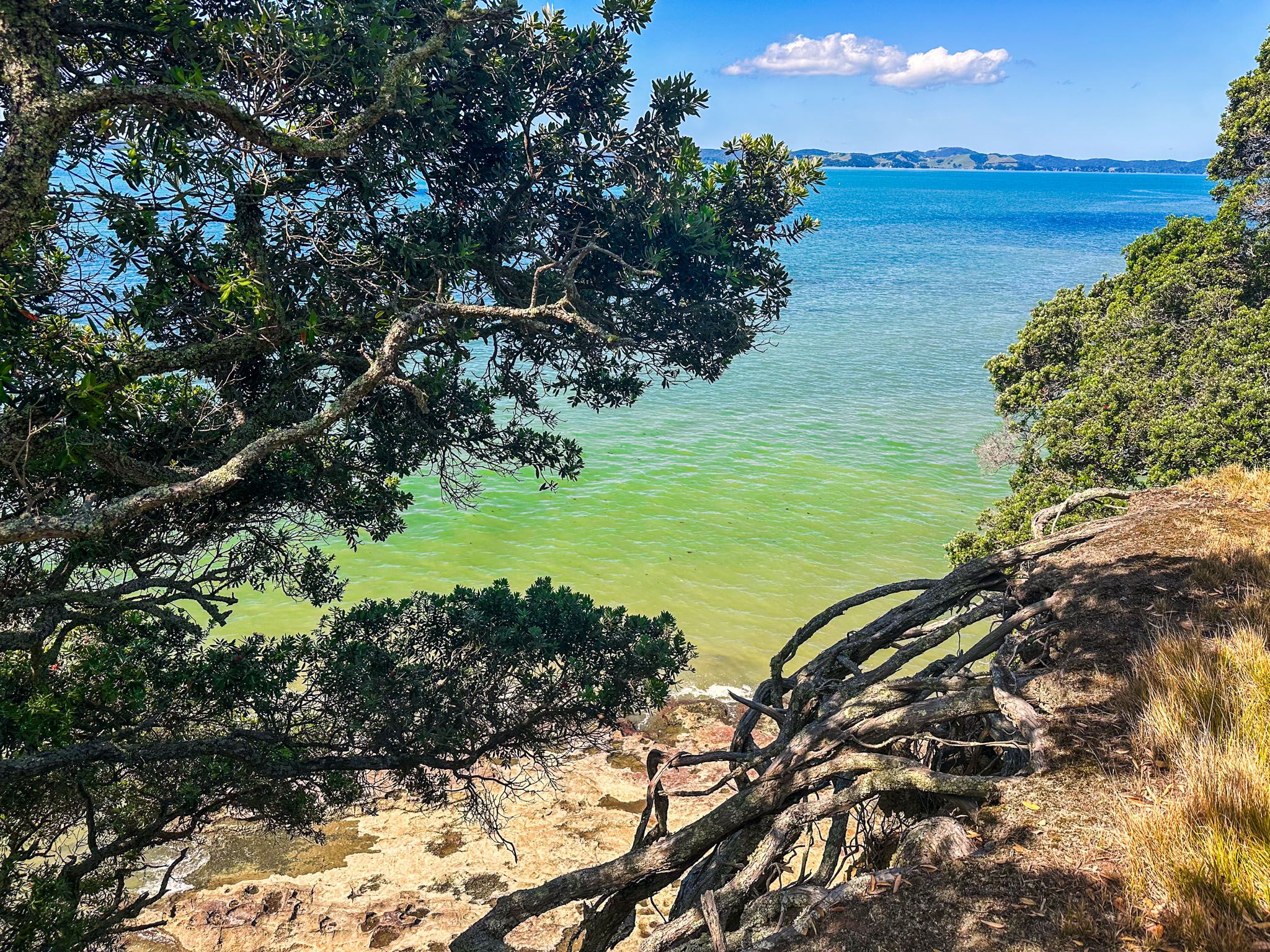
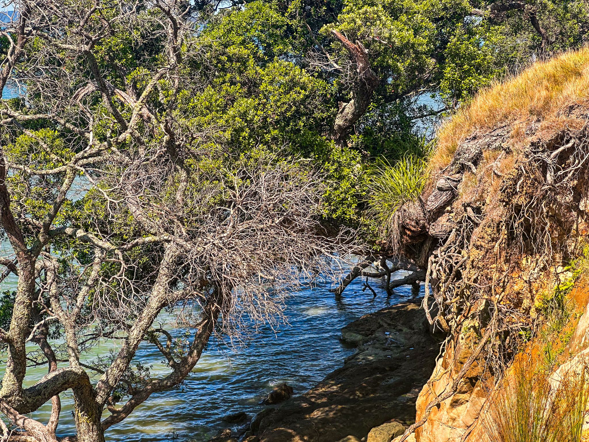
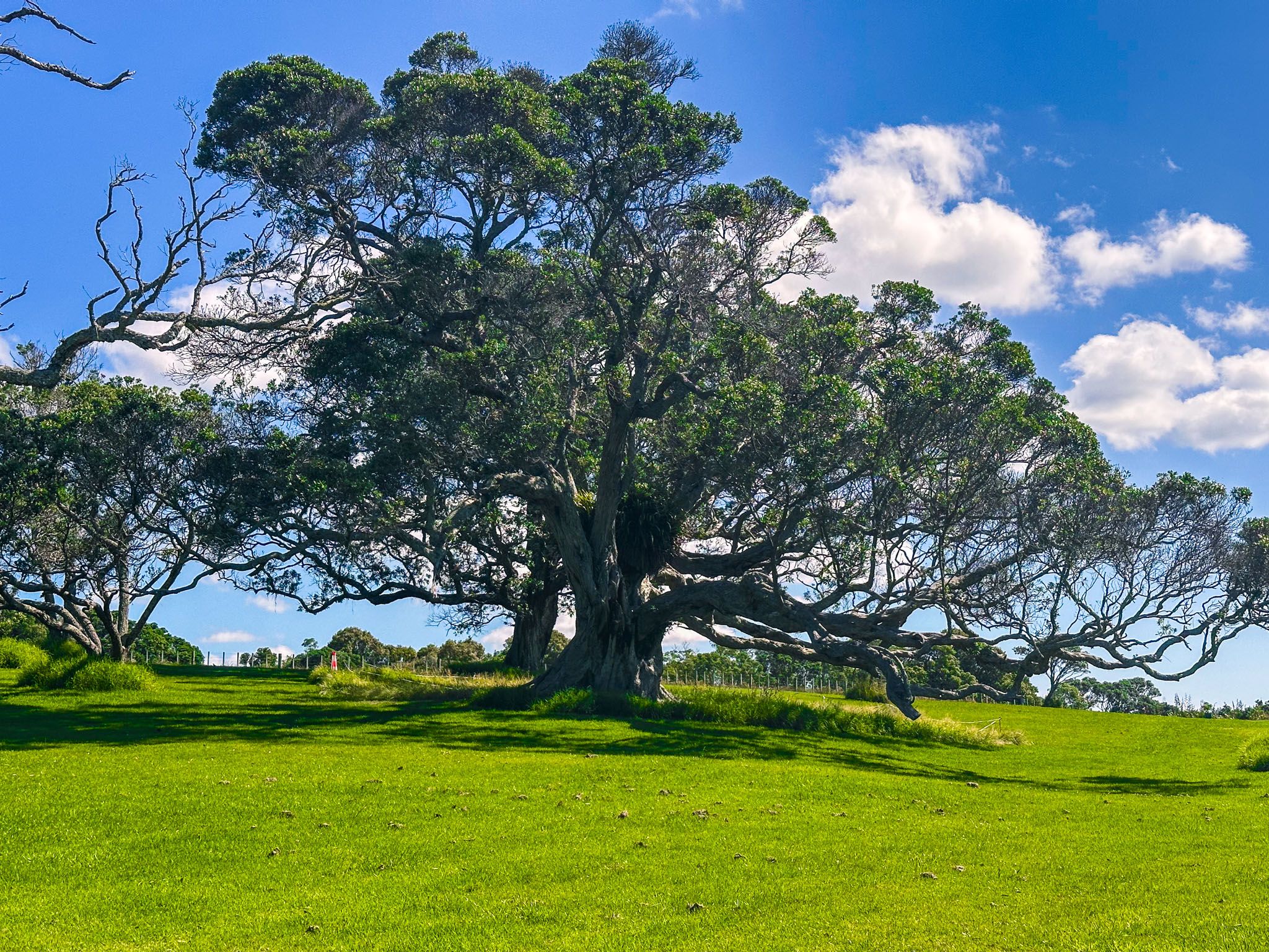
The park features a grassy hill that rises above seaward cliffs. The southern side is primarily used for sheep grazing, while the northern slope is dedicated to recreational activities. There are several walking tracks, including the northern section of the Perimeter Track, which runs along the cliffs and provides spectacular viewpoints. Cyclists can use the Beachlands to Maraetai Walkway on the southern part of the Perimeter Track, which includes a mature forest strip. The Farm Track crosses the sheep paddocks, and the Lookout Walk offers a shorter route for those seeking a quick excursion.
Unique Geological Features
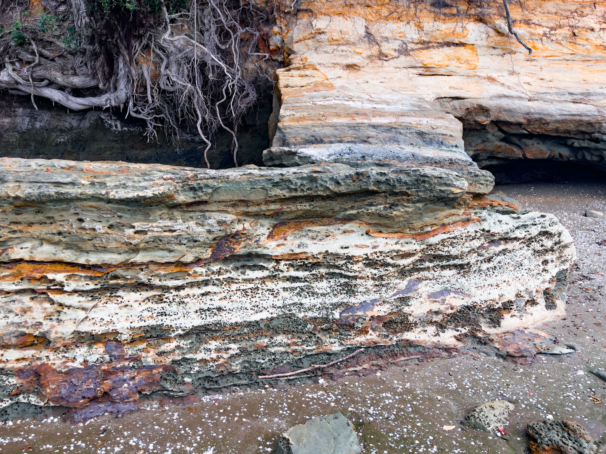
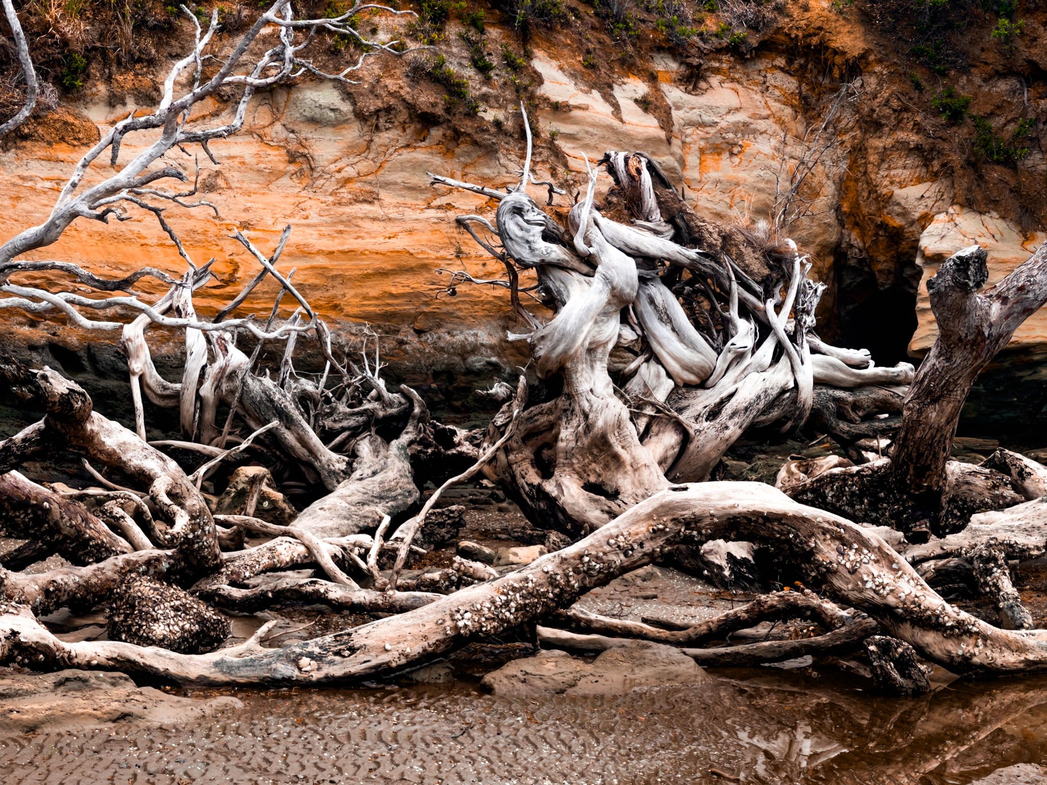
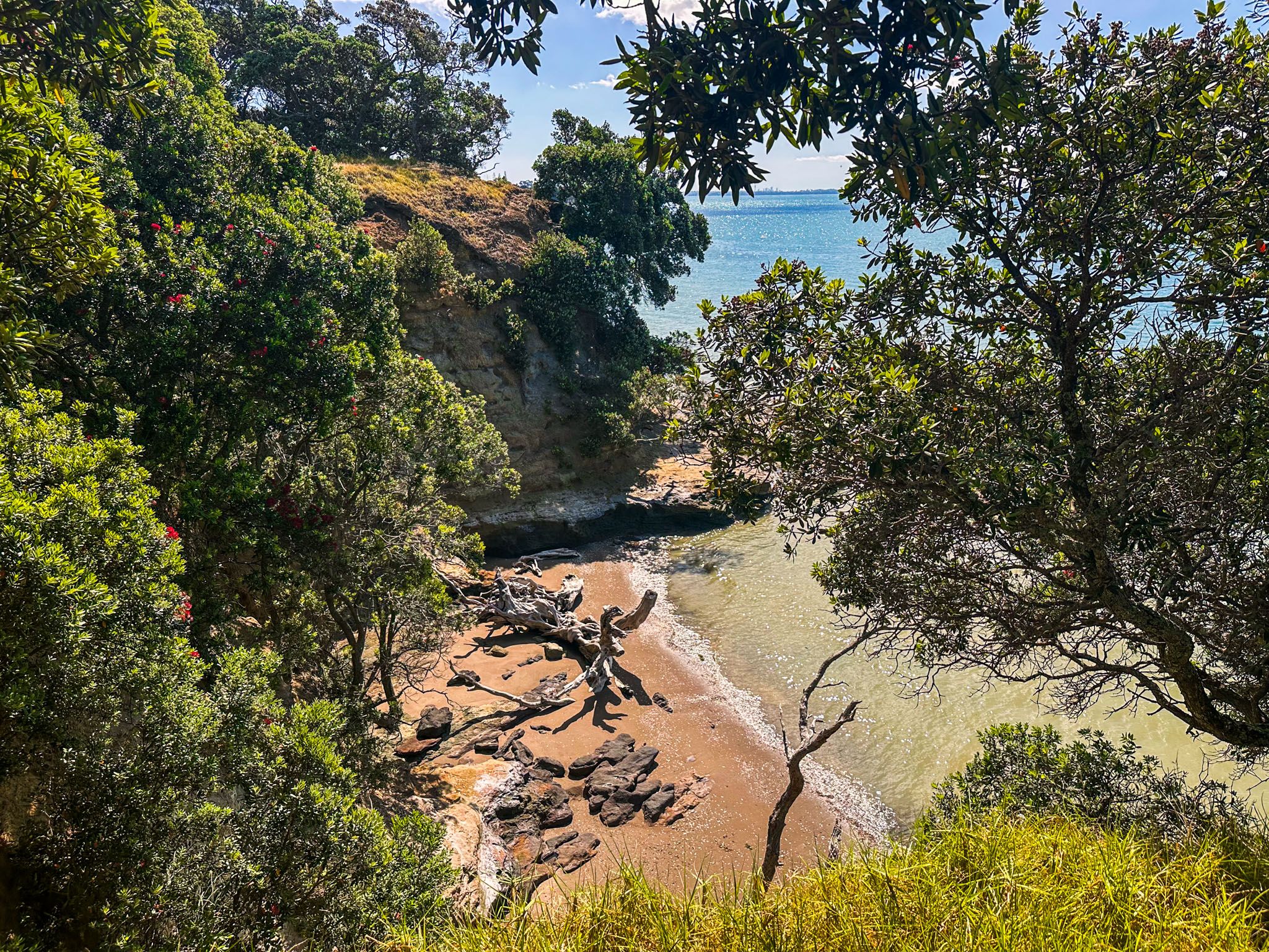
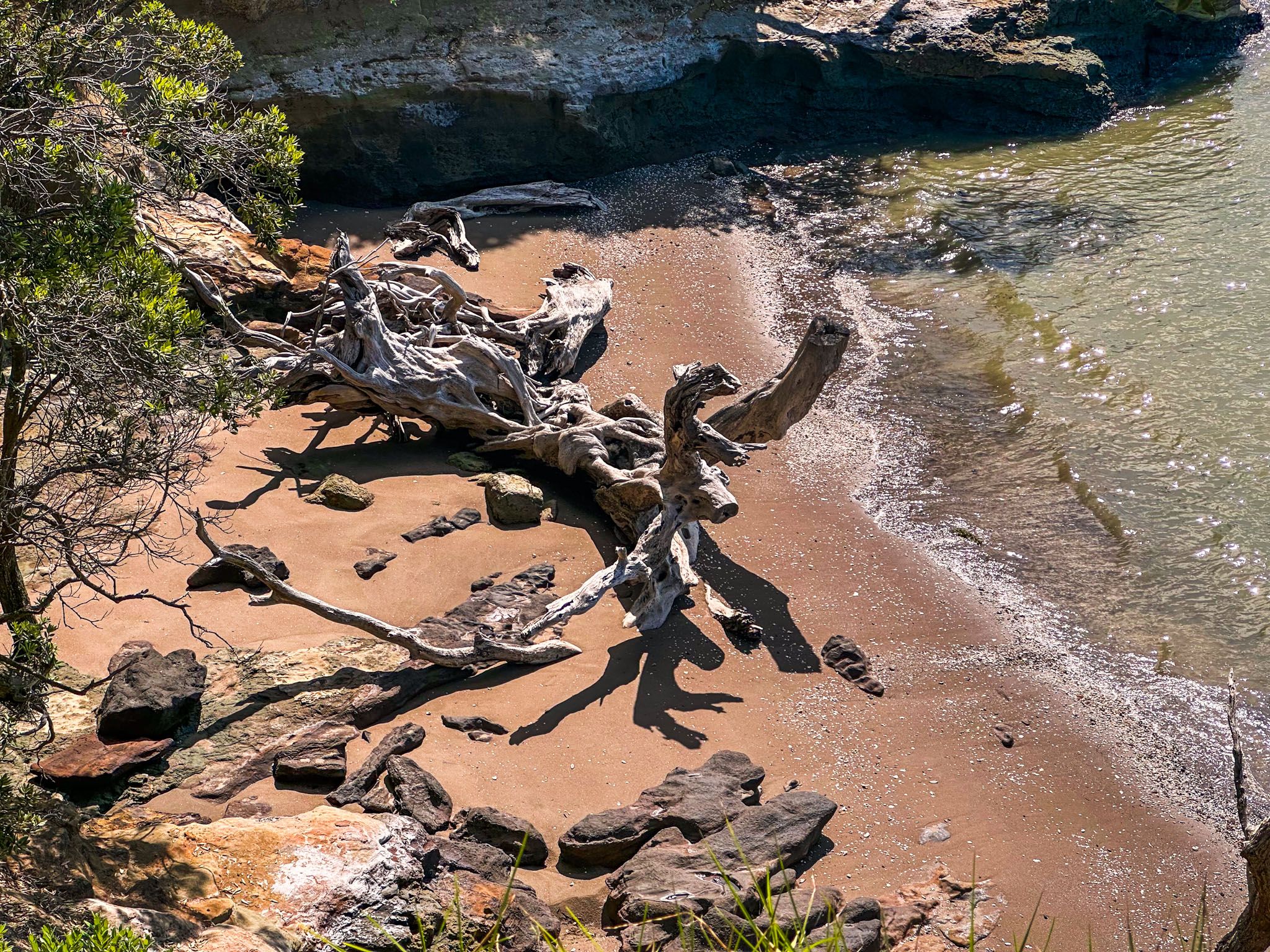
Below the cliffs on the north side, an extensive rocky platform becomes accessible from Ōmana Beach as the tide recedes. This platform is composed of greywacke rock, which is up to 200 million years old, contrasting sharply with the softer sandstone and mudstones of the cliffs, which are only 20 million years old. Fallen pōhutukawa trees, bleached by the sun and washed by saltwater, add to the striking scenery below the cliffs.
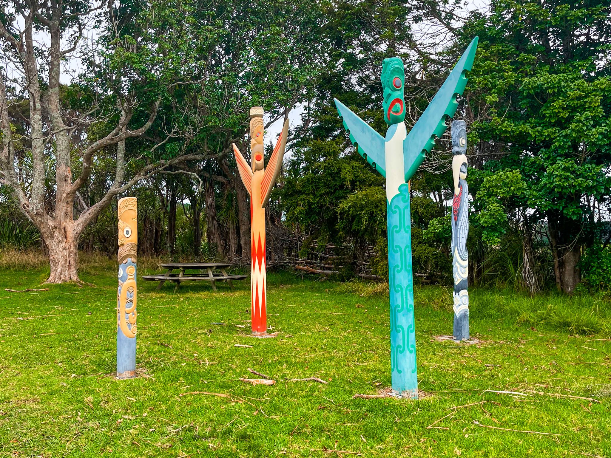
Cultural and Historical Significance
Ōmana Regional Park is culturally important to Ngāi Tai ki Tāmaki iwi. The name Ōmana is derived from Ōmanawatere, meaning "The Place of Manawatere," a Ngāi Tai ki Tāmaki ancestor. According to legend, Manawatere arrived from Hawaiki by gliding over the waves and marked a pōhutukawa tree with red clay at Tūwakamana (Cockle Bay) as a landing spot. The Omanawatere pā site, marked by a defensive ditch, can be found along the Perimeter Track.
The park was part of 40,000 acres acquired by William Fairburn from Ngāi Tai in the late 1830s. The government later reduced this land purchase by 85% in the 1840s. Fairburn established the Maraetai Mission Station here, which operated from 1837 to 1842 and was one of the first farms in Auckland. The kauri forest that once covered the area was cleared, kauri gum was extracted, and there was even some gold exploration.
How to Get There
To visit Ōmana Regional Park, take Ōmana Esplanade off Maraetai Drive on the park's east side and drive in at the sign-posted entrance.
Other nearby activities include an extended walk or cycle ride on the Beachlands to Maraetai Walkway, visits to one of he other nearby beaches such as Waiomanu Beach and Magazine Bay, and experience Duder Regional Park.