A Short Walk to the Devil's Nook
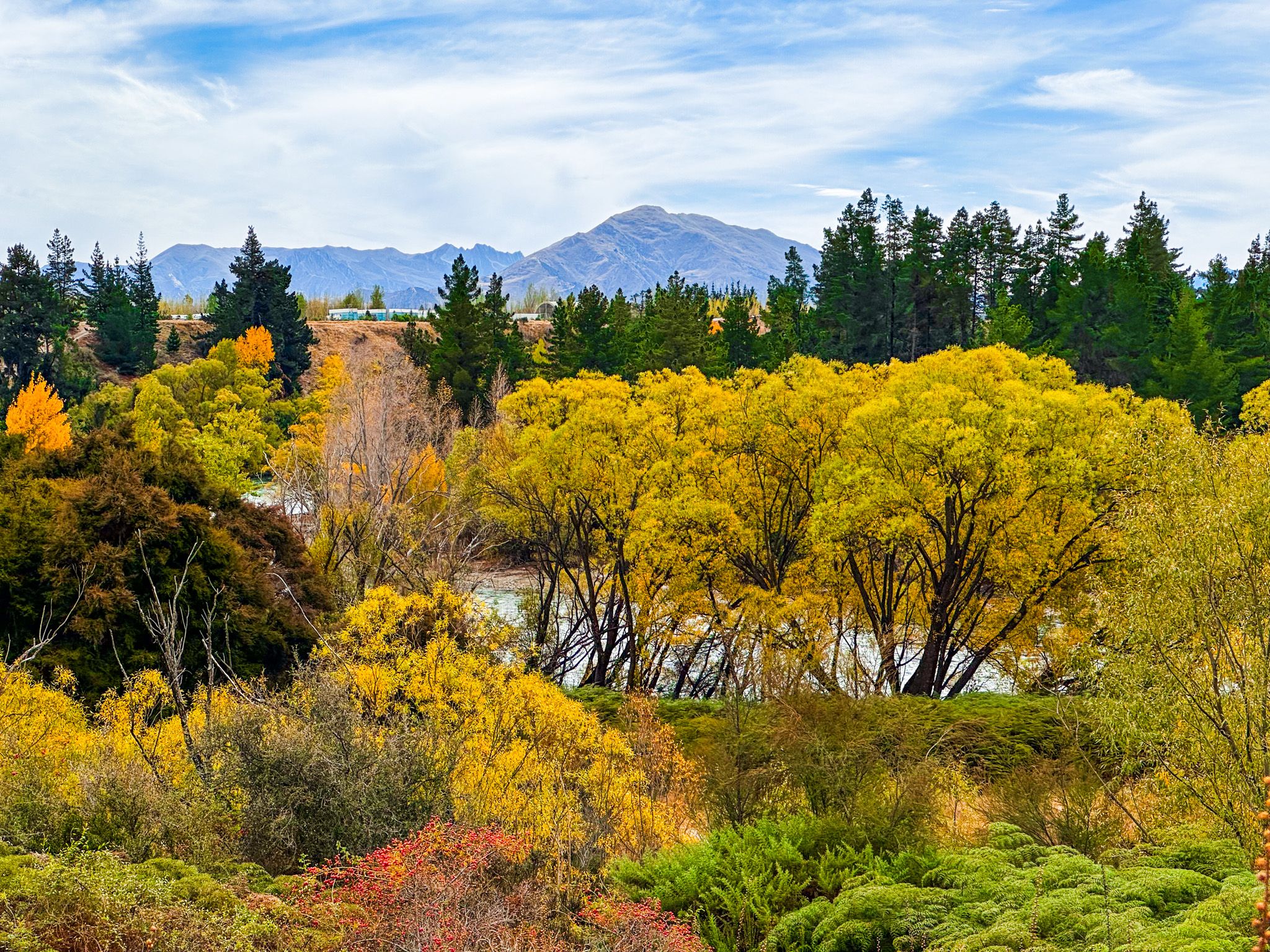
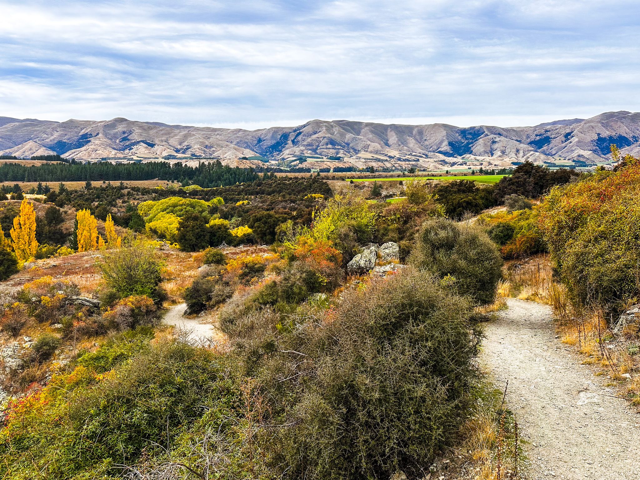
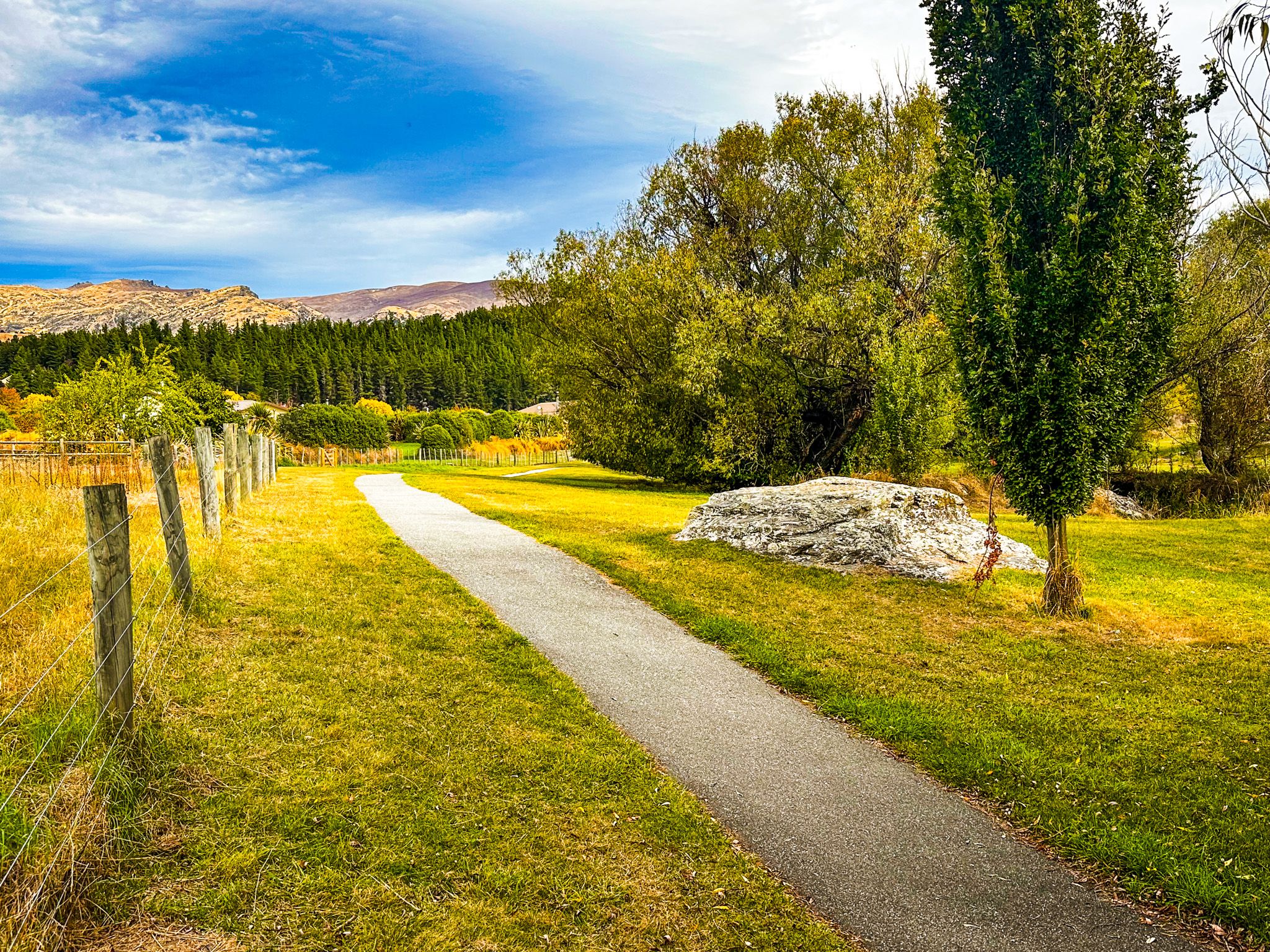
The Luggate Creek Track is a short, easy walk of approximately 2 km from the centre of Luggate township to the confluence of Luggate Creek with the Clutha River / Mata-Au. It follows the creek south from the township through a mix of native regrowth and rocky open Central Otago scrubland. At the end, you can either connect with the Upper Clutha Track or walk a short distance to Devil's Nook, a dramatic rocky outcrop near where the turquoise creek meets the emerald-green Clutha. The track is undulating but easy, suitable for walkers, cyclists, runners, and dogs on a lead. It takes around 20 to 30 minutes one way and is a natural starting point for continuing onto the Upper Clutha River Track for a longer outing.
Luggate Creek and the Devil's Nook
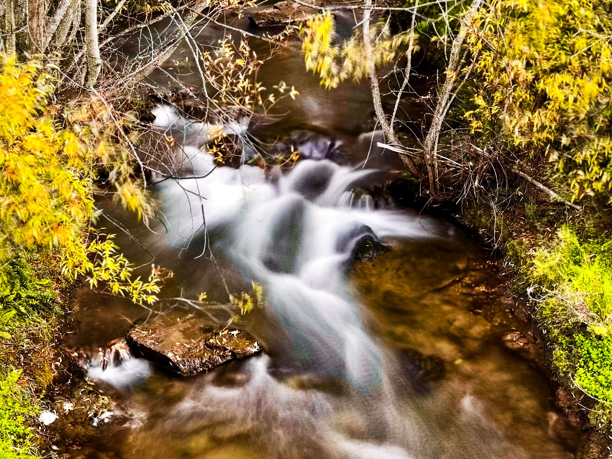
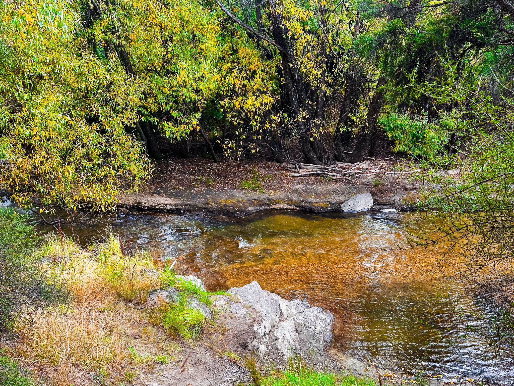
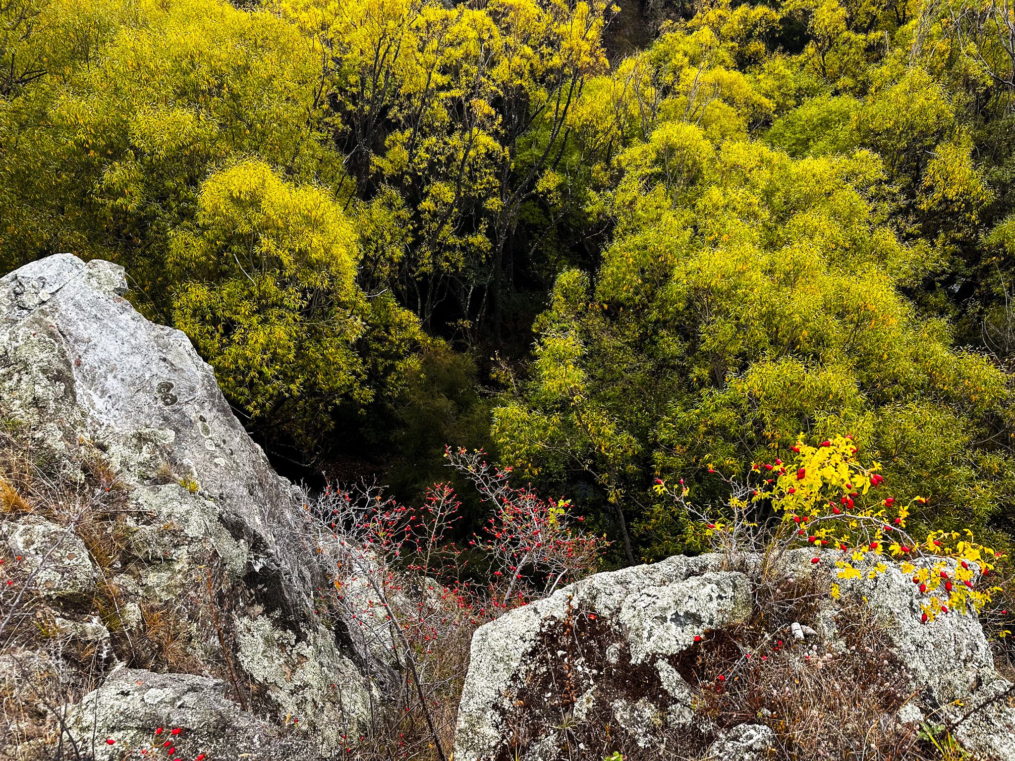
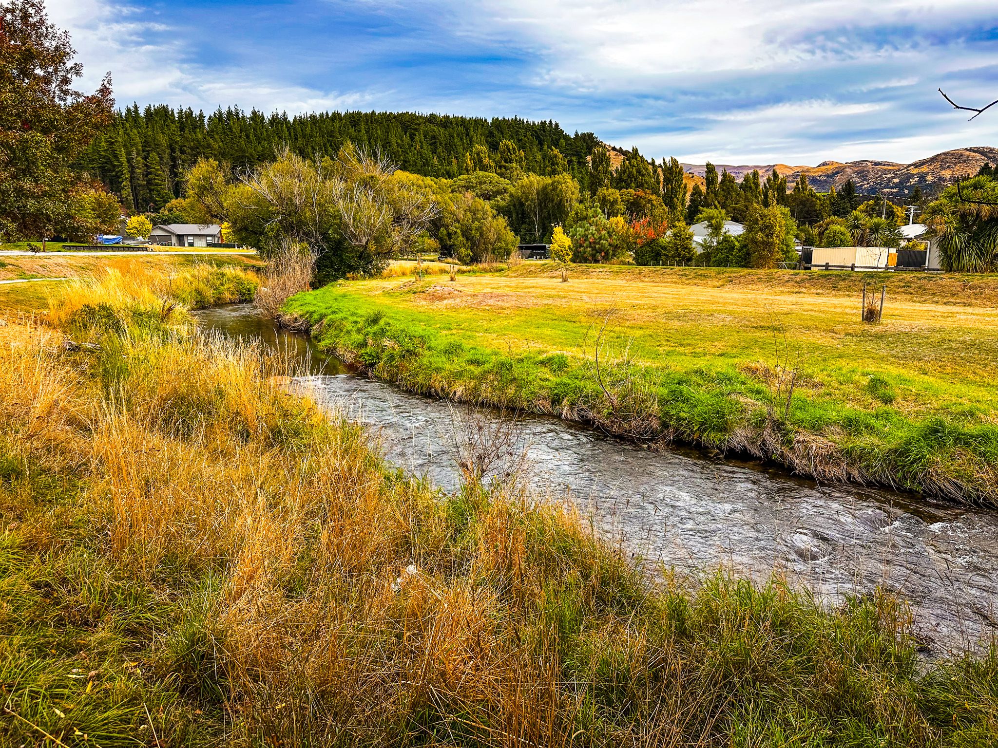
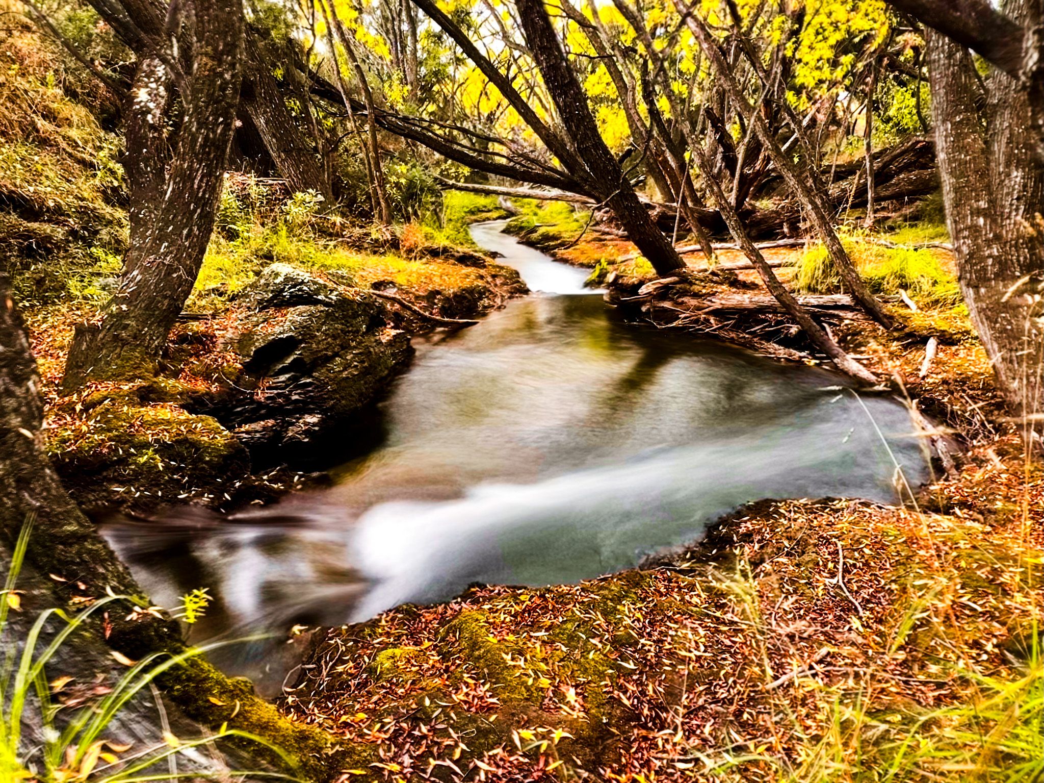
Luggate Creek runs south from the Dunstan Mountains through Luggate, then across an ancient river terrace, before dropping down through a narrow gorge, cut deep into the hillside above the Clutha. The extent of the cut in places is surprising, and unfortunately, there are no good views of the resulting rapids and falls due to forest overgrowth. The walk along the creek starts off easy and flat from the town, with a grass reserve. As you leave the edge of the town, the creek becomes surrounded by regenerating forest. You can easily push through to the creekside, which is very attractive; a mix of rocks, young trees, greenery and water as it heads towards the drop into the gorge. Beyond this, the creek drops away with no further access, while the path opens up to views to the north across the river valley. The track connects with the Upper Clutha River Track just before the river.
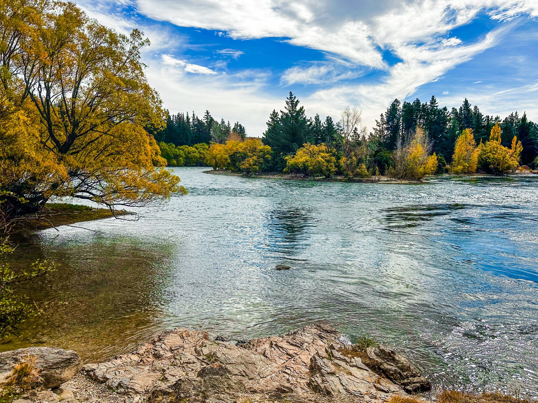
Where the creek meets the river, its water appears turquoise, a result of fine glacial rock flour suspended in the creek’s upper catchment. The contrast with the river's emerald-green is striking. Devil's Nook is a short walk from the point where the creek meets the river, the name given to a small gorge and rocky point for one of the more dramatic natural features on this section of the Clutha. This area is a DOC scenic reserve, and the pools are deep enough for swimming.
Luggate and Its History
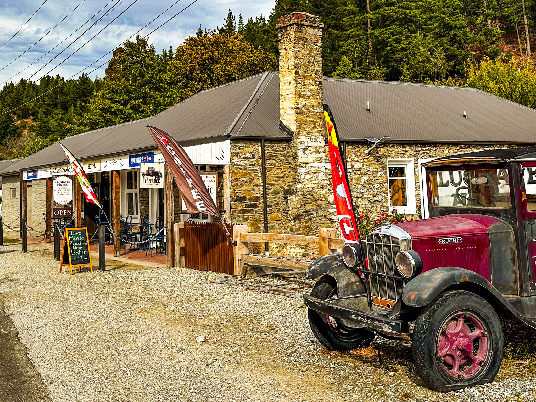
Luggate is a small Central Otago settlement on State Highway 6, 41 km north of Cromwell and 12 km southeast of Wānaka. The name derives from Luggate in Midlothian, Scotland, continuing the pattern of Scottish place names that runs throughout Otago. The settlement grew during the gold rush era of the 1860s, when the Clutha and its tributaries were intensively worked for alluvial gold. The Luggate Hotel, established in 1867 on the main road through the settlement, is the oldest continuously licensed hotel in the Wānaka district and the natural landmark for the track's northern end. The Red Bridge, with its 1915 steel truss structure, is 2 km east of the township on State Highway 6.
How to Get There
Luggate is on State Highway 6, 18 km east of Wānaka. The Luggate Creek Track starts from Harris Place in the township; the entrance is signposted from Pisa Road, off the main Luggate–Cromwell highway. Street parking is available on the surrounding streets. The walk to Devil's Nook takes around 20 minutes from the township trailhead. The Luggate Hotel is a short walk north on the main road.
Other nearby places to walk and hike include the Outlet Track, Hāwea River Track and Mount Iron Track.