Exploring Dome Forest: A Scenic Hike North of Auckland
Dome Forest, a 401-hectare conservation area, is in northern Auckland, approximately seven kilometres northwest of Warkworth. Accessible via the Twin Coast Discovery Highway, the forest includes the picturesque Dome Valley. A visit here lets you explore the Dome Forest Track, which is part of Te Araroa.
Hiking Options in Dome Forest
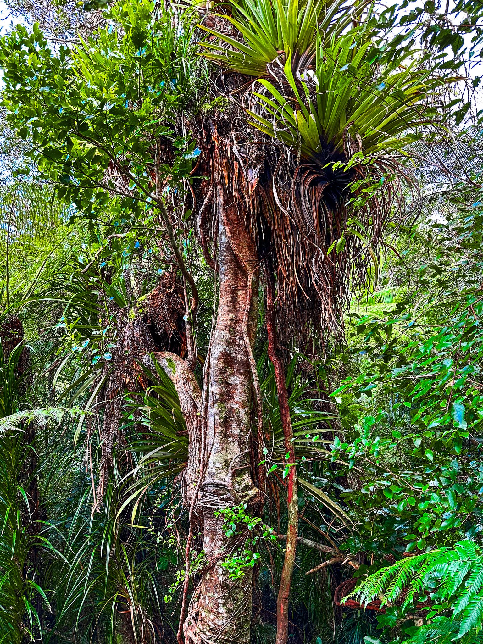
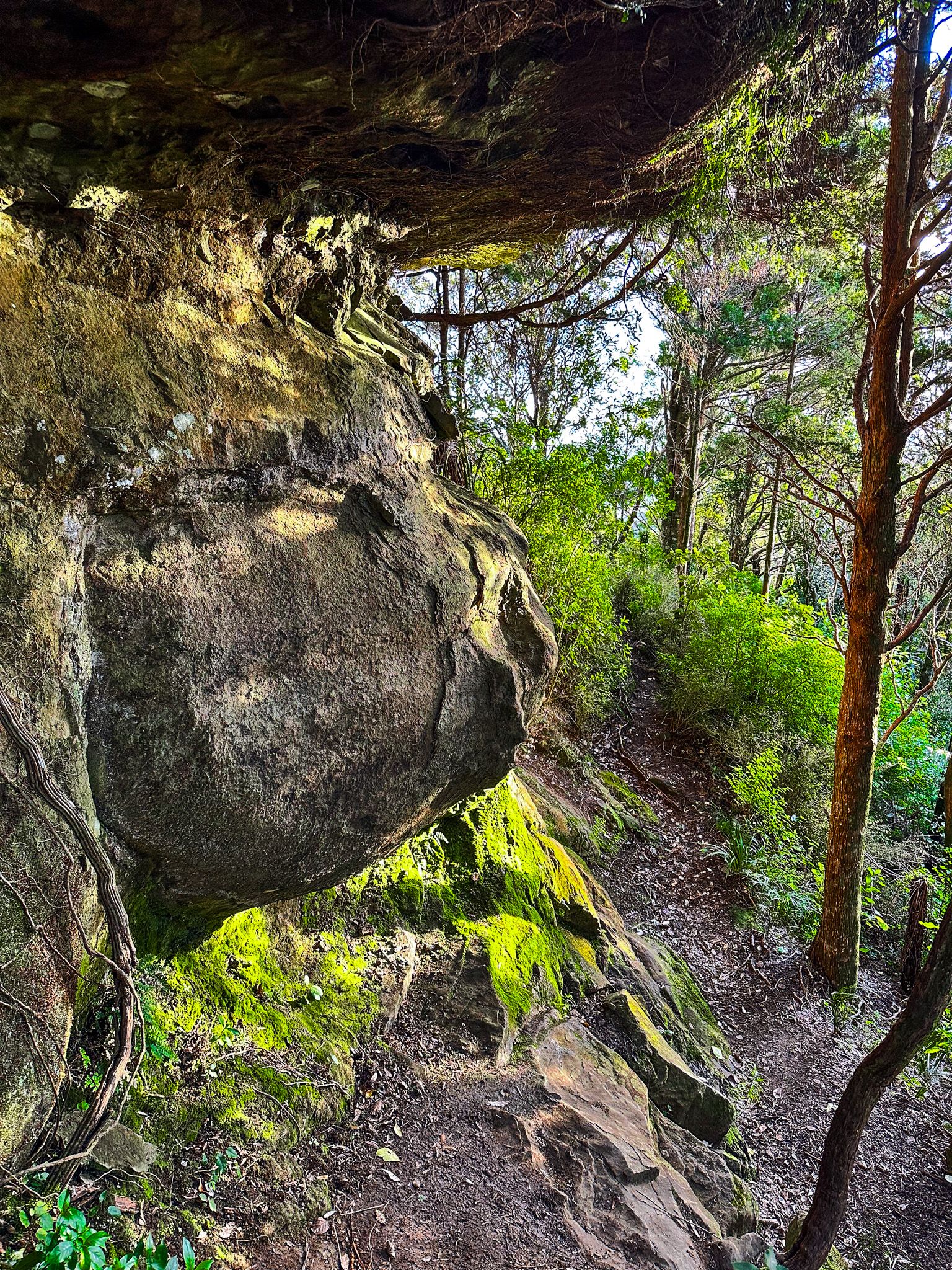
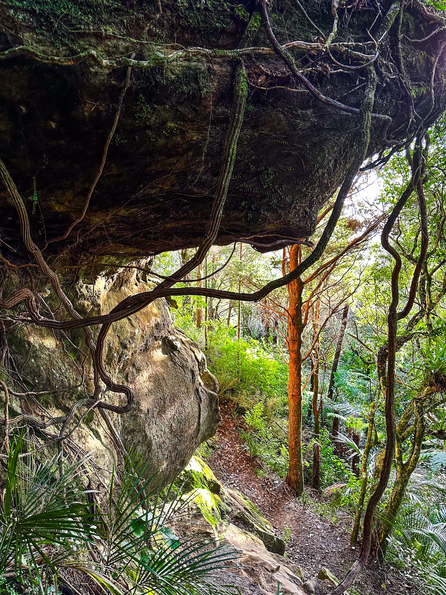
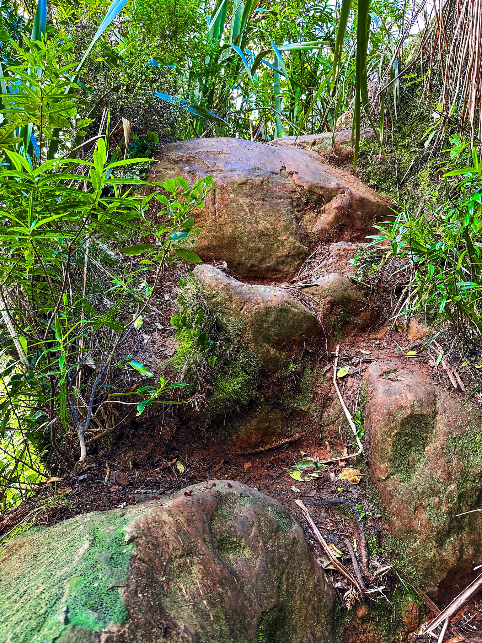
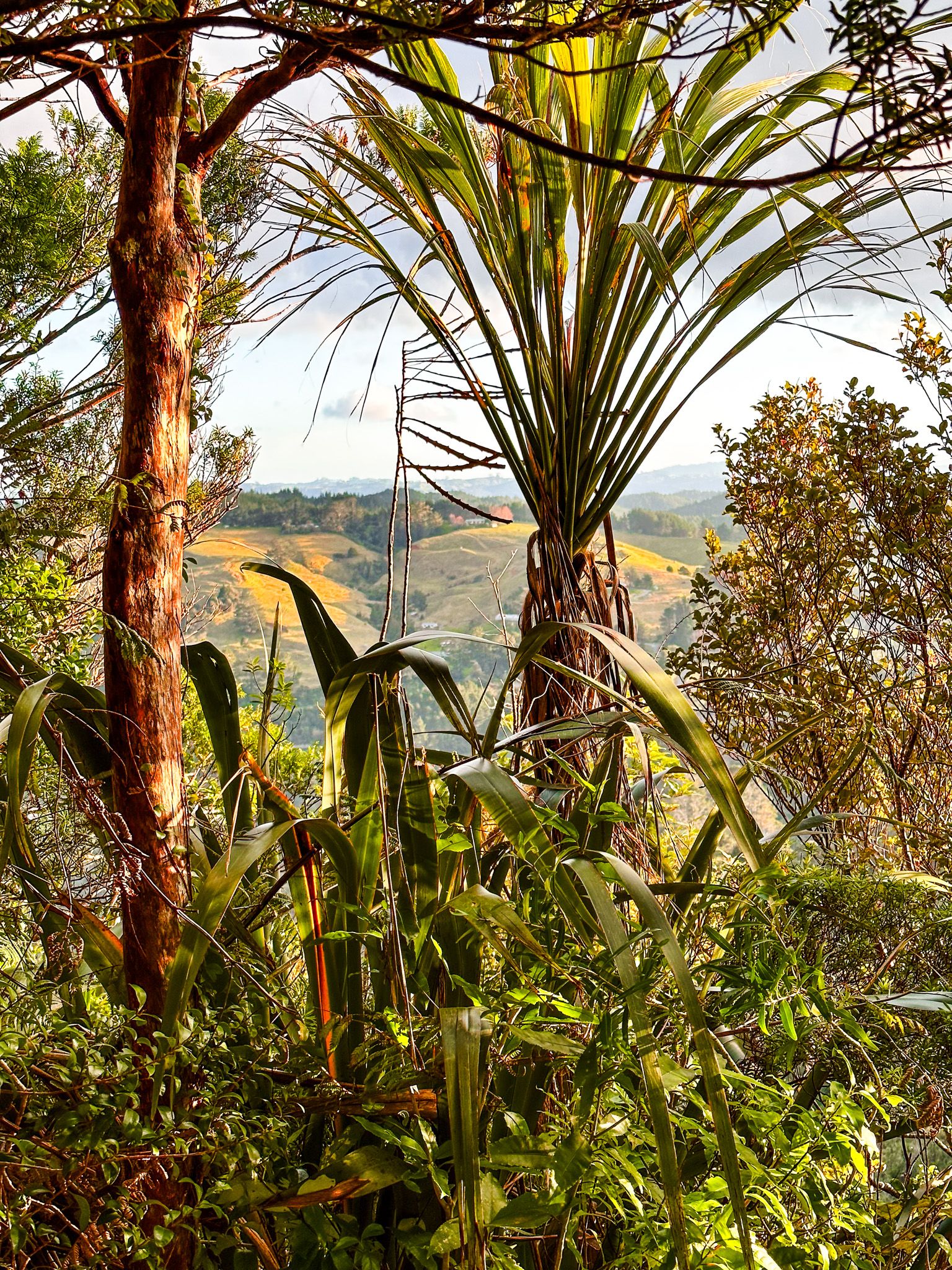
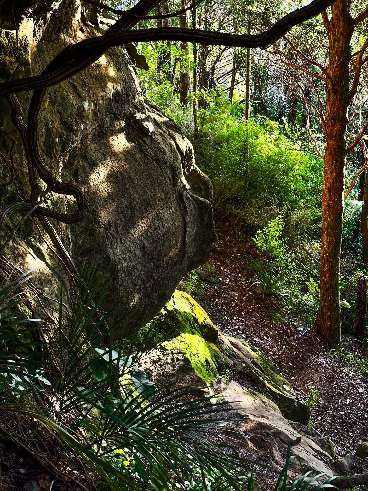
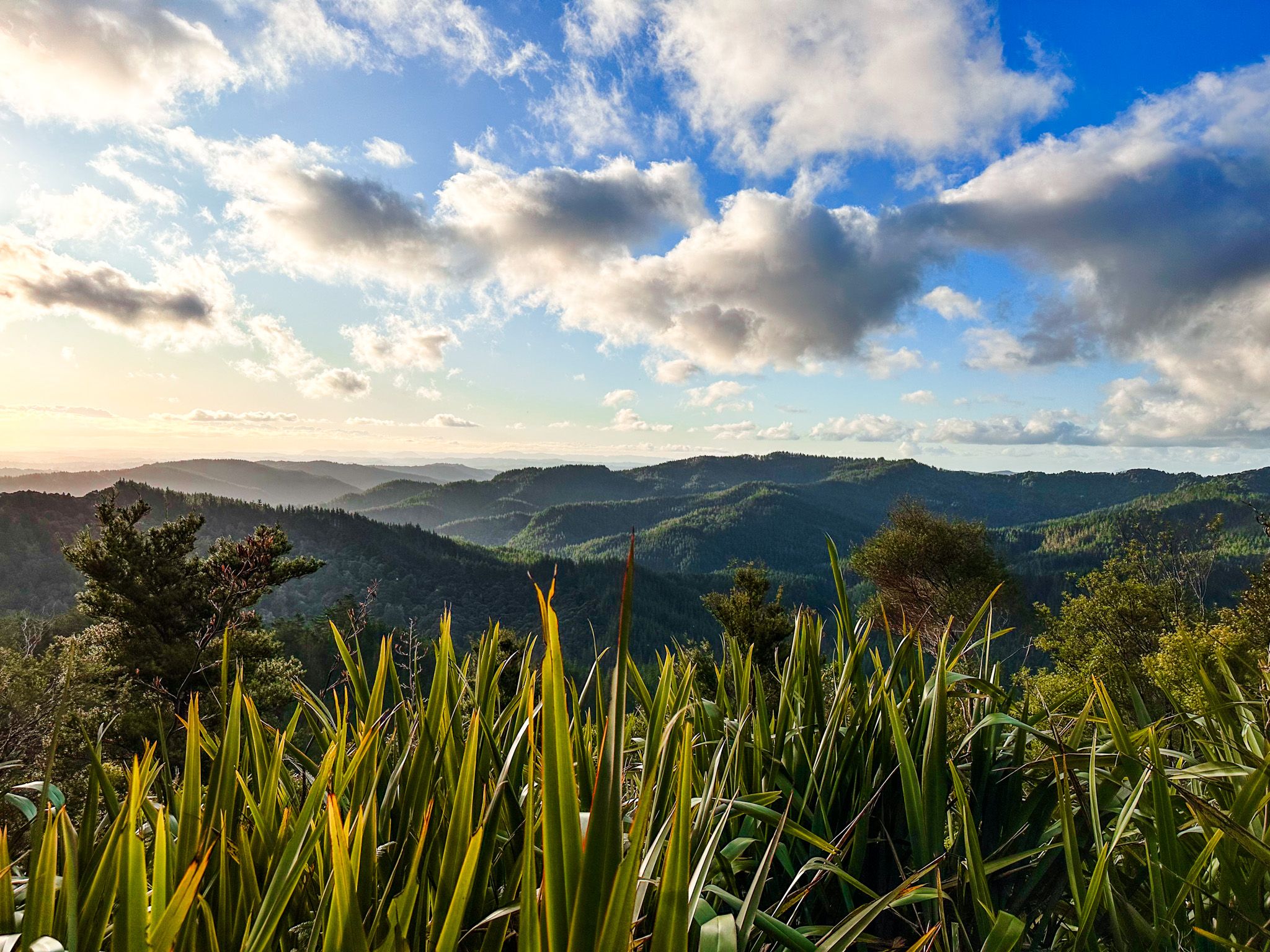
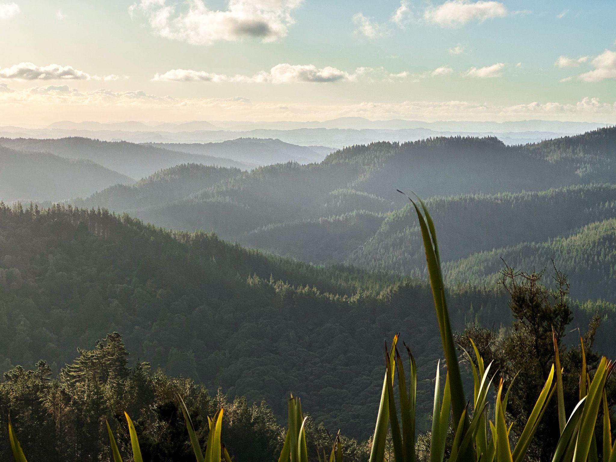
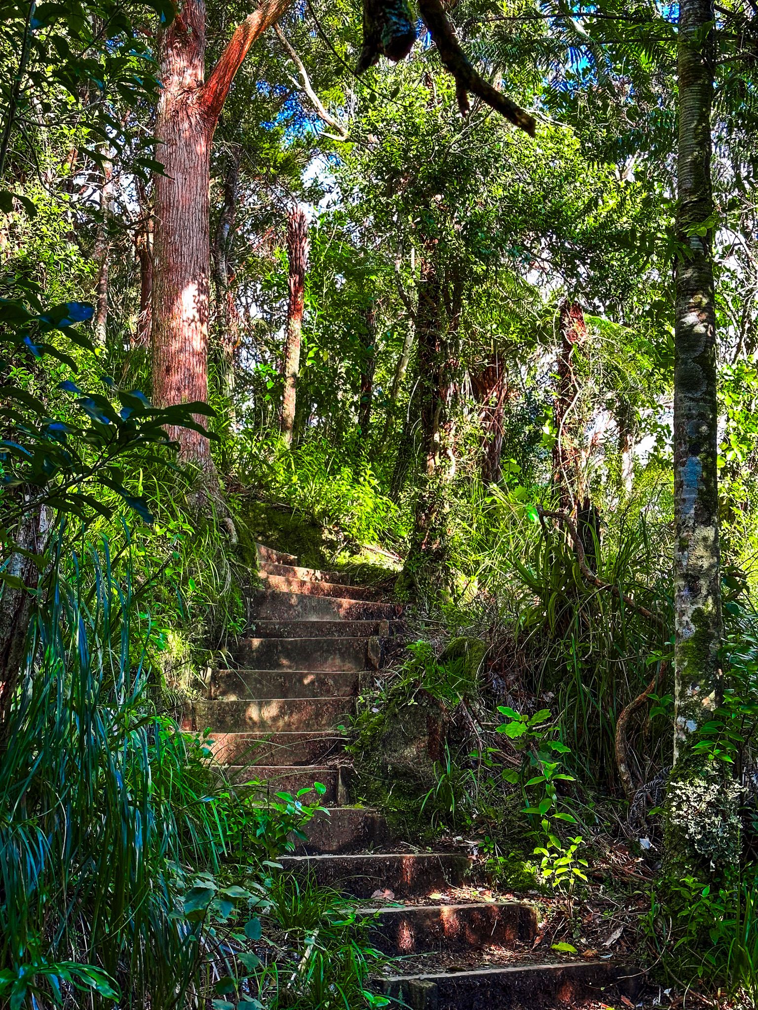
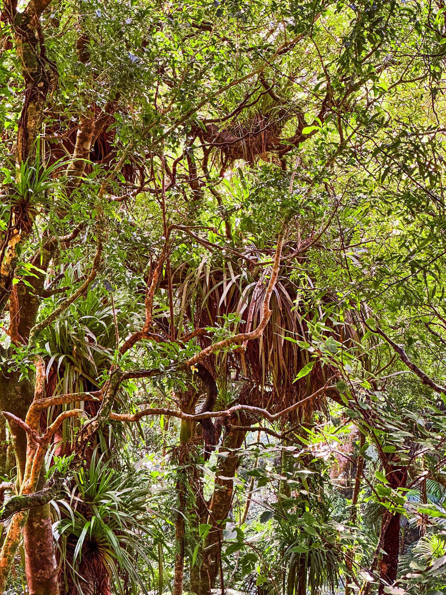
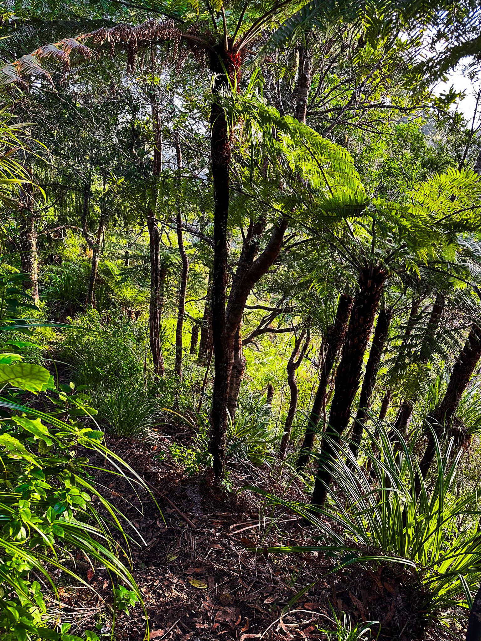
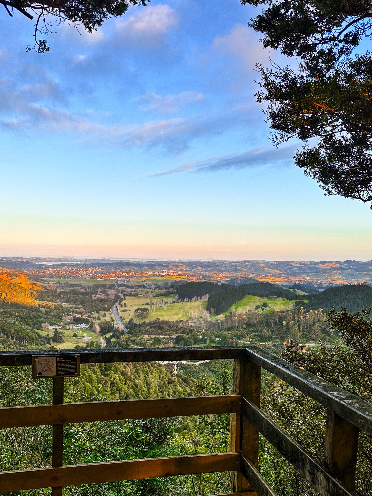
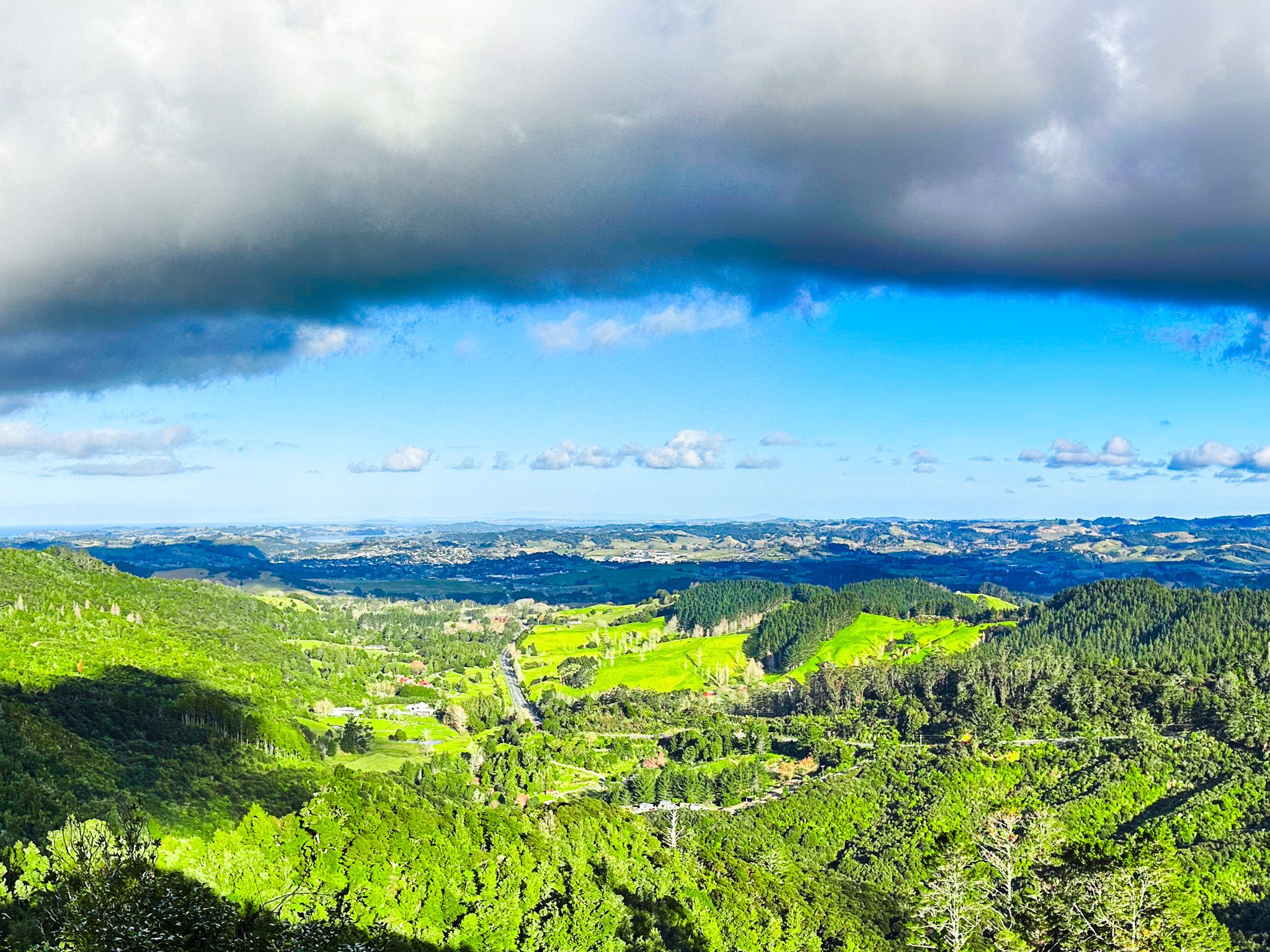
The Dome Forest Track begins with a well-maintained, uphill but easy forest walk leading to a viewpoint with sweeping views across the Mahurangi Peninsula to the Hauraki Gulf. Starting from the car park below the old Dome Tearooms, there are steep steps that ascend a ridge into a beautiful podocarp and broadleaf forest. The track continues along an undulating ridge to a viewing platform. This section is about one kilometre each way and typically takes around 40 minutes to complete.
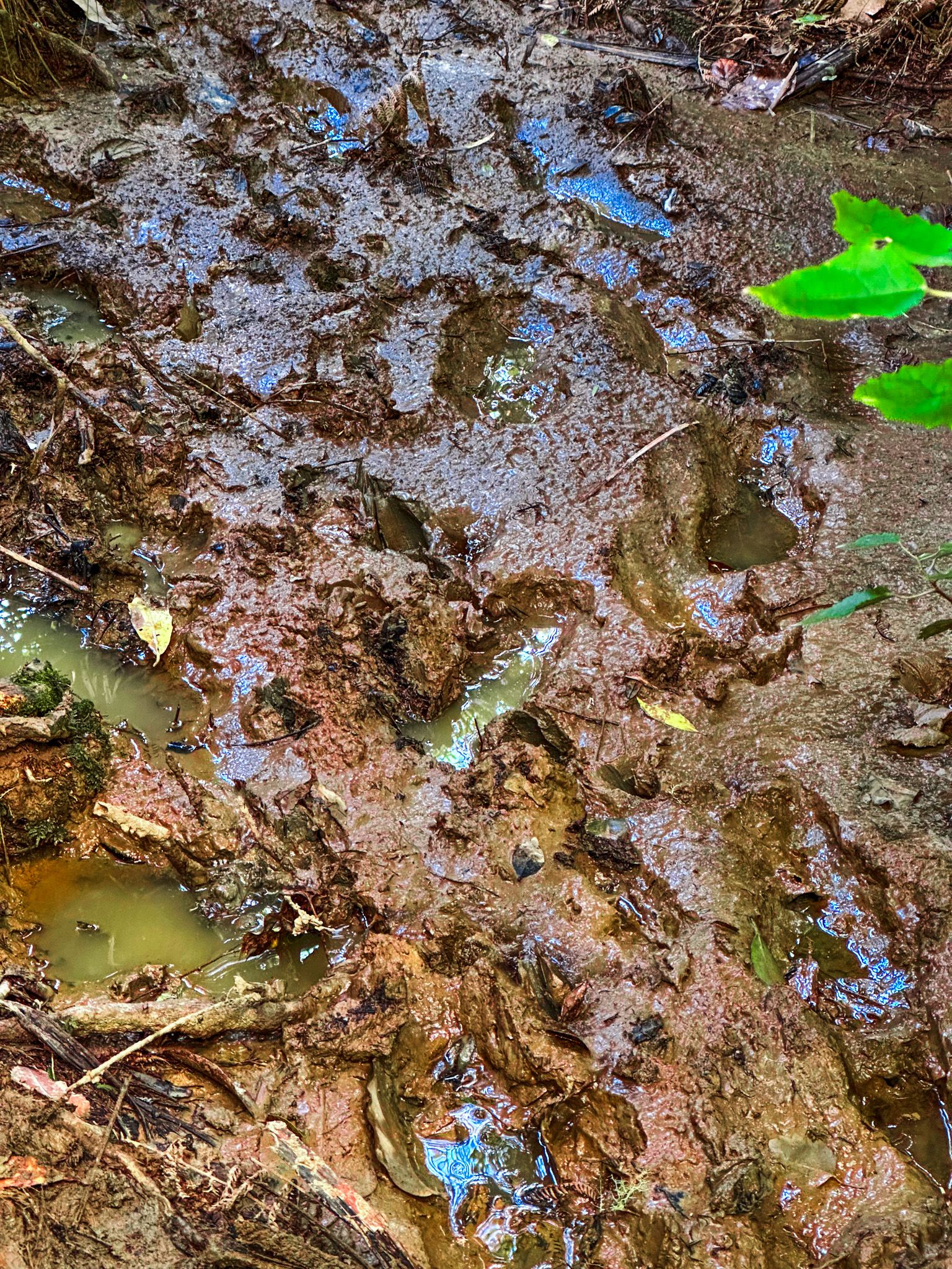
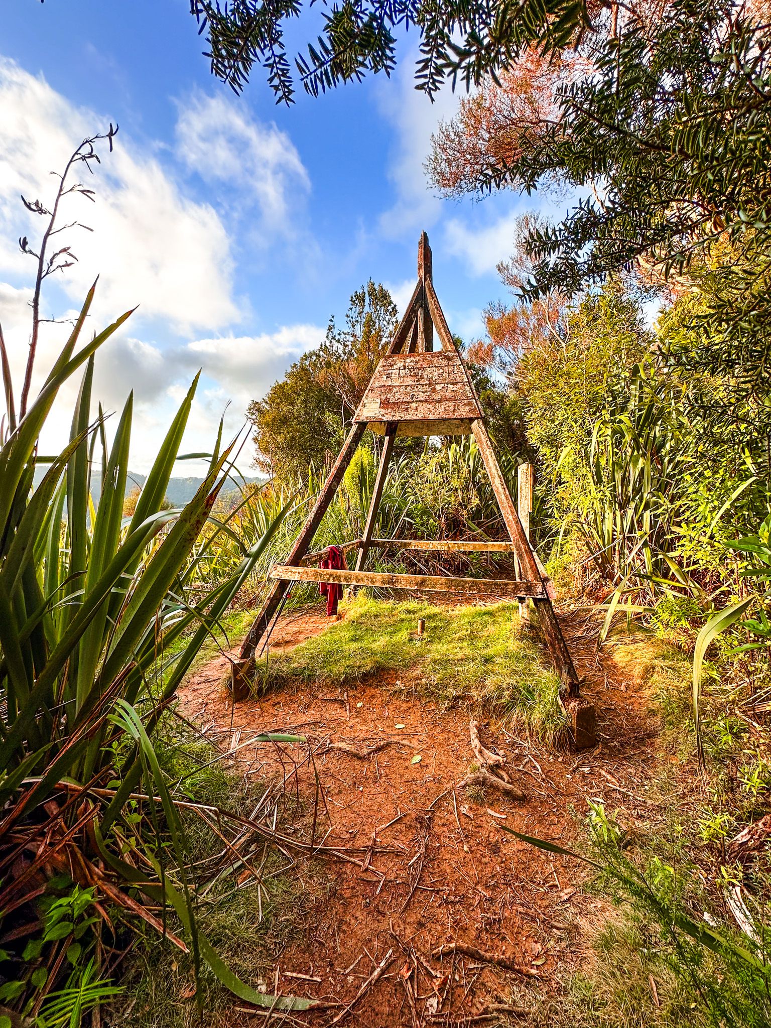
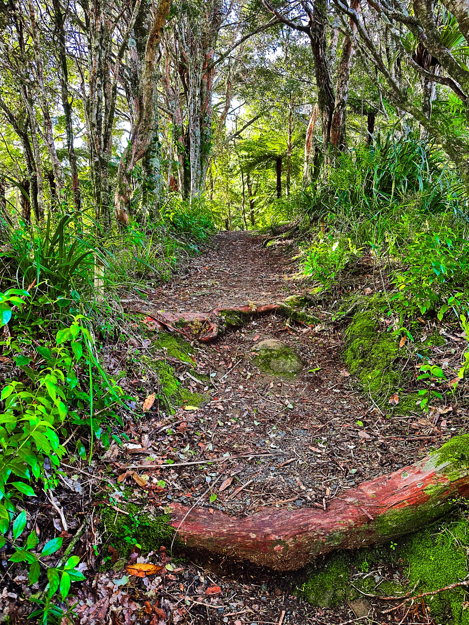
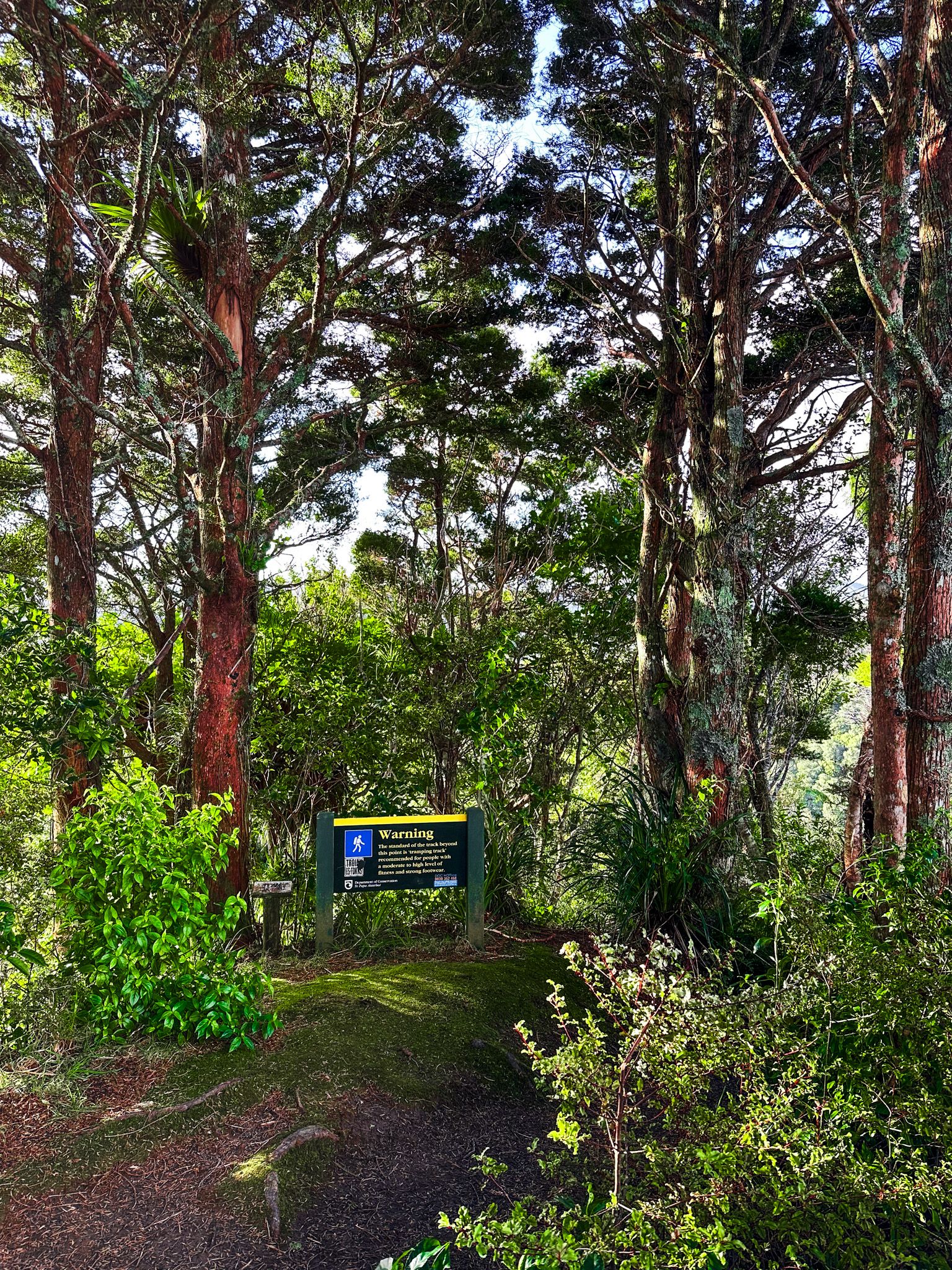
For those seeking a more challenging hike, you can continue to the top of the Dome, the forest's highest point at 365 metres. This section of the track can be overgrown and muddy, especially after rain. The final ascent to the Dome is narrow and steep but relatively short. From the summit, you will find a trig station and a pleasant view to the north. Allow about an hour each way for this hike, and be prepared for very muddy conditions.
Beyond the Dome, the track extends along the ridge for several more hours. This includes a short passage through the remnant mature Waiwhiu Kauri Grove, home to 20 large kauri trees. The trail then descends through exotic pines to Waiwhiu Valley Road, a private forest road. Follow this road northeast for 200 metres to where the track resumes, crossing the Waiwhiu Stream. After following the stream for 1.6 kilometres, you will enter the Totara Peak Scenic Reserve. The track climbs steeply to a ridge with impressive views. At Conical Peak, head north to conclude the track at Govan Wilson Road near Matakana. This extended hike is best undertaken with transport arranged at both ends.
Cultural Significance of Tohitohi o Rei
The Māori name for the Dome is Tohitohi o Rei, a sacred mountain (maunga tapu) for the local iwi, Ngāti Manuhiri. The name is linked to a Māori legend involving two sisters, Reipae and Reitū, associated with the Tainui migratory waka. According to the story, Reipae and Reitū travelled around the North Island on the back of a large bird, resting at the peak. Their marriages to northern men connected the Tainui of the Waikato to the Ngāpuhi of Northland and Ngāti Manuhiri.
Ueoneone, from Pawarenga on the Whangape Harbour, was captivated by Reitū’s beauty. He performed a karakia (incantation) that sent his pet kāiaia (falcon) to the paepae of Reitū's house in the Waikato. As Reitū and Reipae approached the bird, it took them to Northland. Reipae married Korowharo at Kaipara, while Reitū and Ueoneone were married at Ngutu-pakapaka. The name Whangārei (Harbour of Rei) also commemorates Reipae.
How to Get There
To reach Dome Forest, travel north from Downtown Auckland along the northern motorway to Warkworth. At the end of the motorway, continue north onto the Twin Coast Highway, which takes you to the Dome Valley. The car park for the Dome Forest Track is located below the old Dome Tearooms.
From there, you can also access the Matakana Coast, and locations such as Mahurangi Regional Park, Ōmaha, Leigh, Goat Island and Te Ārai. A bit further north, you can access Maungawhai Heads.