Discover Mangawhai Heads
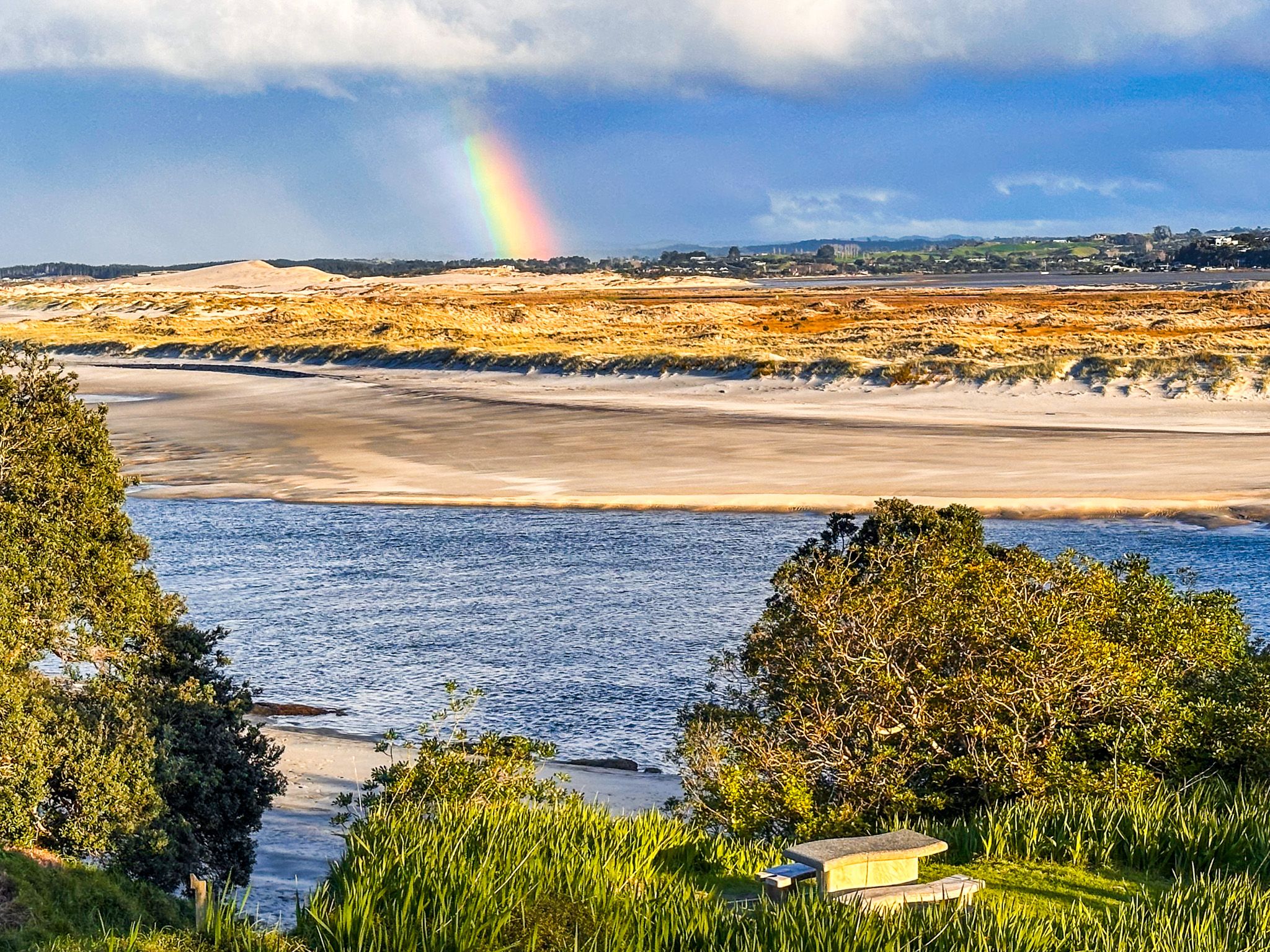
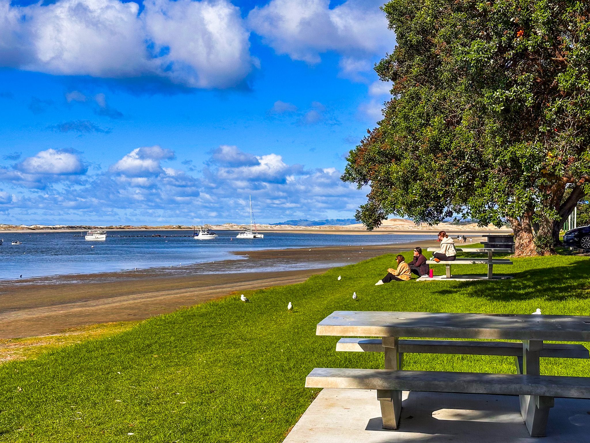
Mangawhai Heads is a relaxed coastal Northland township, 5 kilometres northeast of the town of Mangawhai on the Mangawhai Estuary 12 km southeast of Waipū Cove and 21 km from Waipū. It sits on the northern shore of the Mangawhai Harbour, facing the Pacific Ocean, and combines white to golden sand beaches, dramatic coastal walks, and a sheltered harbour within the mouth of the Mangawhai River.
Beaches and Coastal Scenery
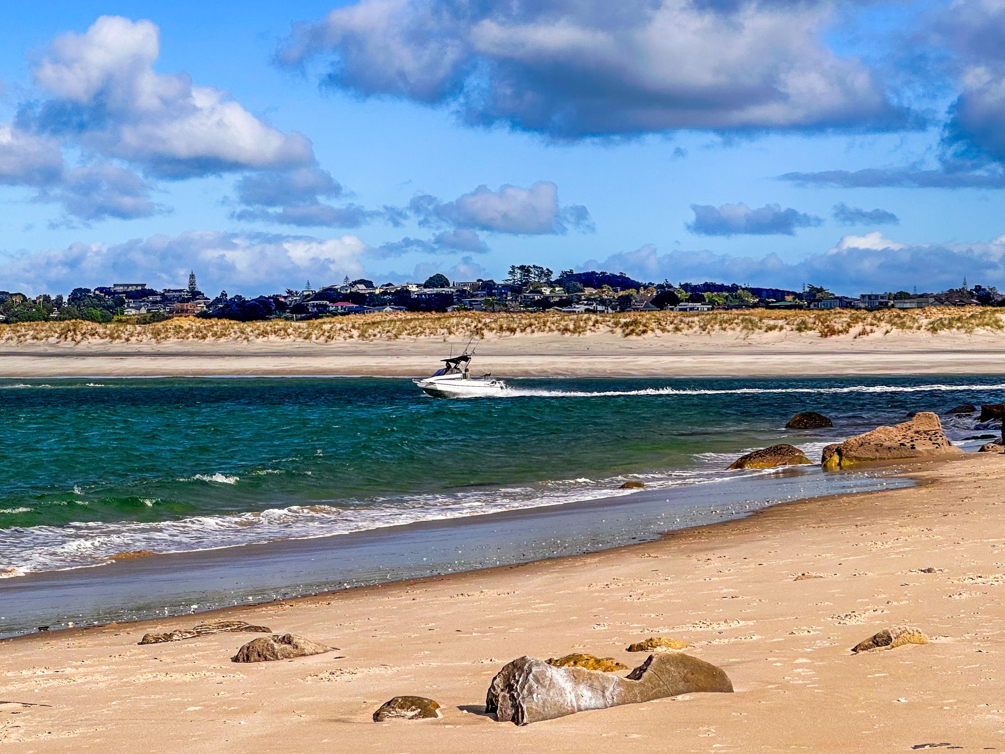
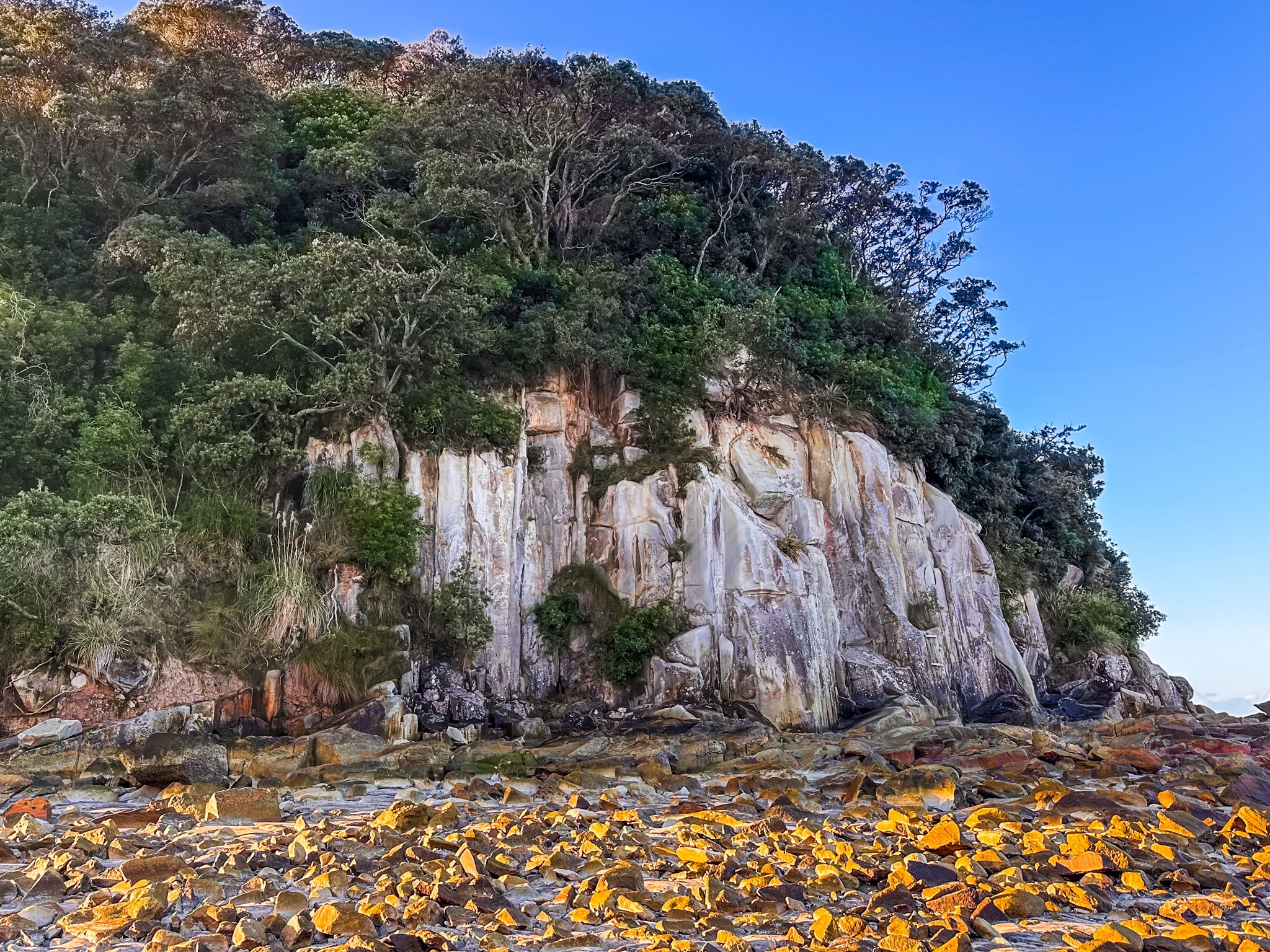
Mangawhai Heads Beach is a 2-km stretch of open coast, popular for surfing, swimming, and beach walks. The southern end, next to the surf club, is patrolled from the end of October to Easter, with a large car park nearby. Beyond the flagged area, the beach runs north to meet the steep 100-metre cliffs towards Papae-o-Tū / Bream Tail.
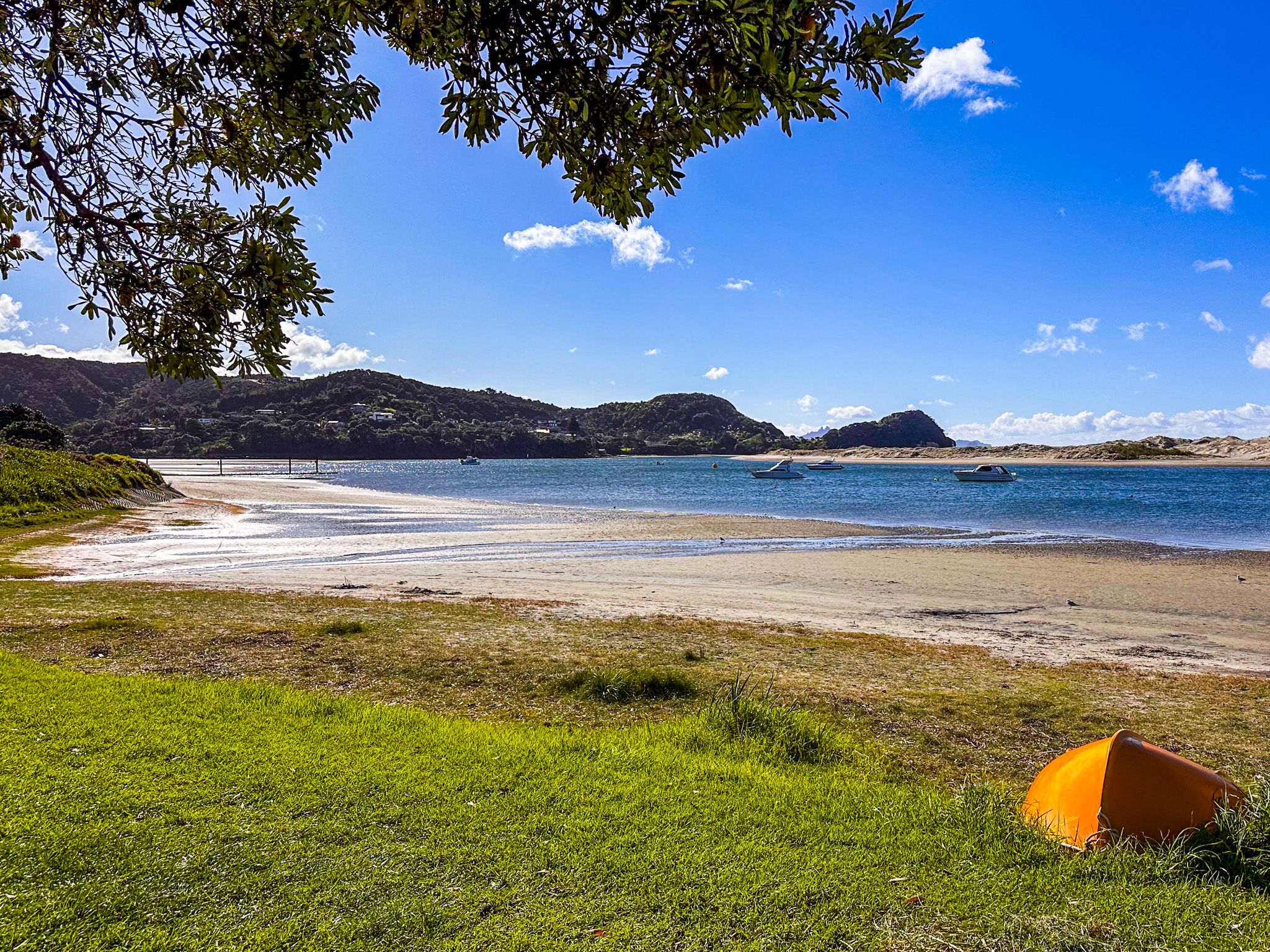
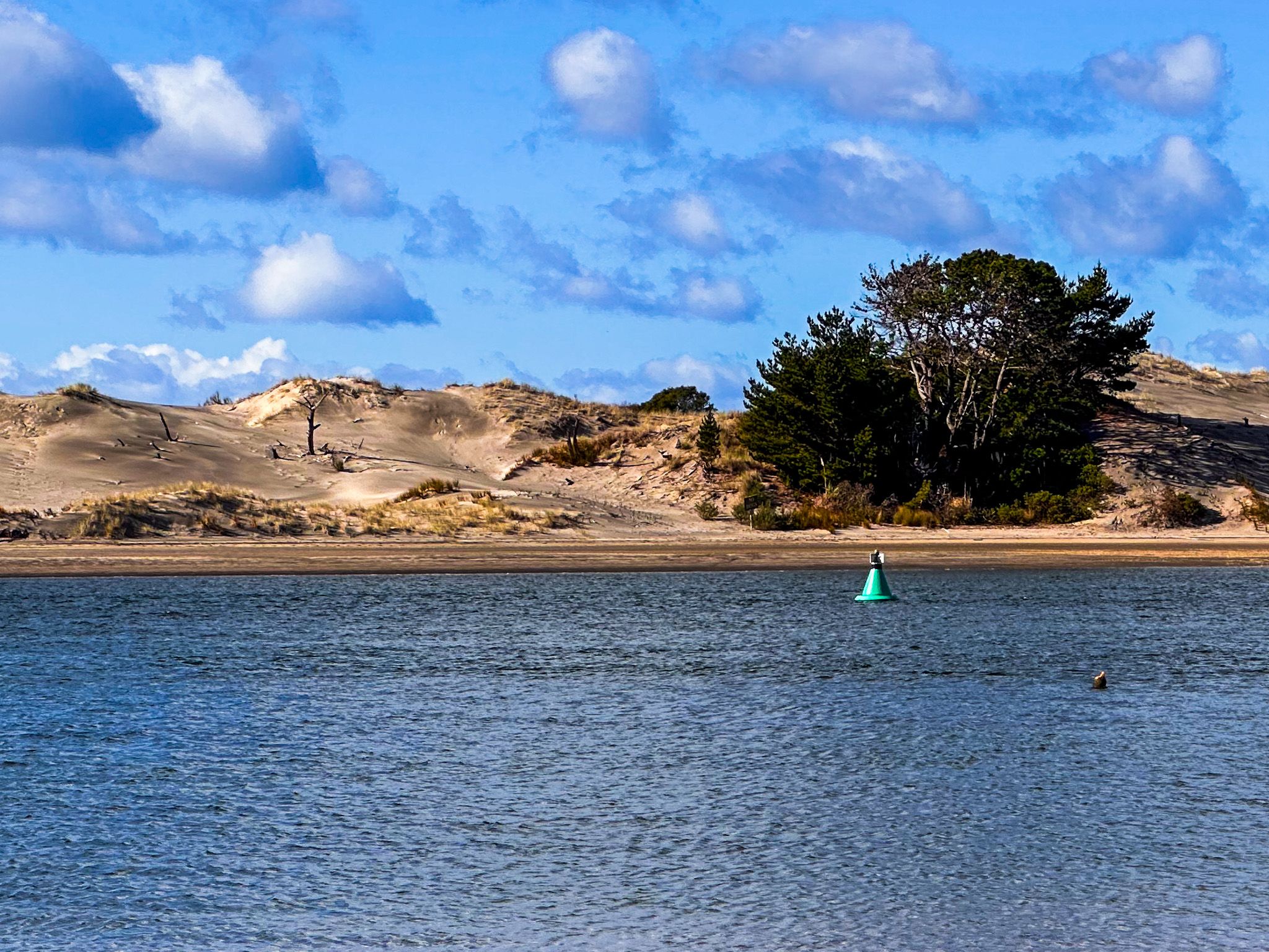
At the harbour mouth, the tidal flats are best explored at low tide. On the east side of the river is a large sand spit and dunes, plus two dune lakes, accessible from Tern Point Road as the tide retreats.
Walks and Hikes
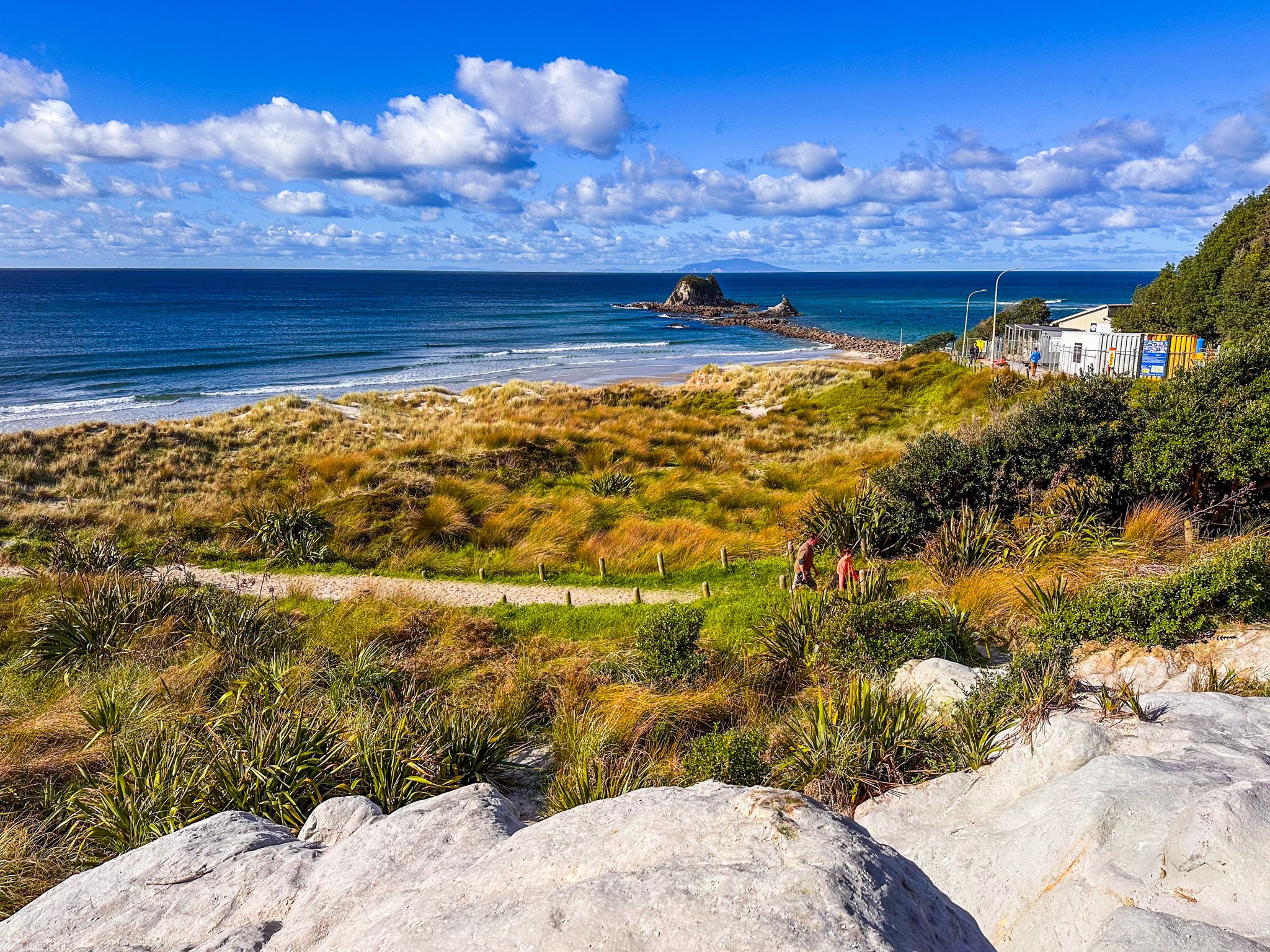
There are several walking options around Mangawhai Heads. These include the Goldschmidt Track and the Mangawhai Walkway, which is also part of Te Araroa. The 30-minute return Goldschmidt Track climbs from the beach car park to the top of the 80-metre cliff of the northern head, with panoramic ocean and harbour views. The Mangawhai Walkway starts at the beach car park, follows the beach north, then climbs to the top of the cliffs heading towards Paepae-o-Tū / Bream Tail. It then drops down to the beach, returning below the rocky coast at low tide. The walk is around 4.5 km each way and takes about 4 hours.
At low tide, you can walk around the base of the cliffs on the north side of the harbour mouth and explore Sentinel Rock on the rocky breakwater.
Another lesser-known option is to head inland to the Tanekaha Falls Track in the Tanekaha Forest in the Brynderwyn Hills. This is an exceptional walk into a regenerating forest with multiple waterfalls and several other trails..
History and Culture
Mangawhai lies within the rohe of Te Uri-o-Hau, an iwi with a long-established presence, and associated with the Auckland iwi, Ngāti Whātua. The name Mangawhai refers to Te Whai, a rangatira of Ngāti Whātua, whose fortified pā once stood on Mangawhai Point, the central headland within the harbour, also known as Moir Point. “Whai” is also the Māori name for the short-tailed stingray, which is found in the harbour’s tidal waters.
In 1825, during the Musket Wars, Mangawhai played a pivotal role in the long-running dispute between Ngāpuhi and Ngāti Whātua. A Ngāpuhi taua (war party) with 300 muskets landed at Mangawhai, then followed the portage route to Kaiwaka at the head of the Kaiwaka River, which in turn provided access to the Kaipara Harbour. The resulting battle, Te Ika a Ranganui, was a major defeat for Ngāti Whatua and Te Uri-o-Hau, leading to widespread depopulation of the area. Refugees began to return in the 1830s, but in February 1841, a European settler, William Mayhew, claimed to have purchased 20,000 acres at Mangawhai from Ngāpui rangatira in the Bay of Islands, who in turn claimed the land based on conquest.
The New Zealand government overturned the sale and then entered into its own negotiations to buy land in the area in the 1850s, followed by European settlement in the late 1850s. Kauri logging and gum digging were the main industries, then farming, as the forests disappeared. The harbour served as a coastal shipping port for timber and produce until silting made navigation difficult in the 20th century.
Local Attractions and Facilities
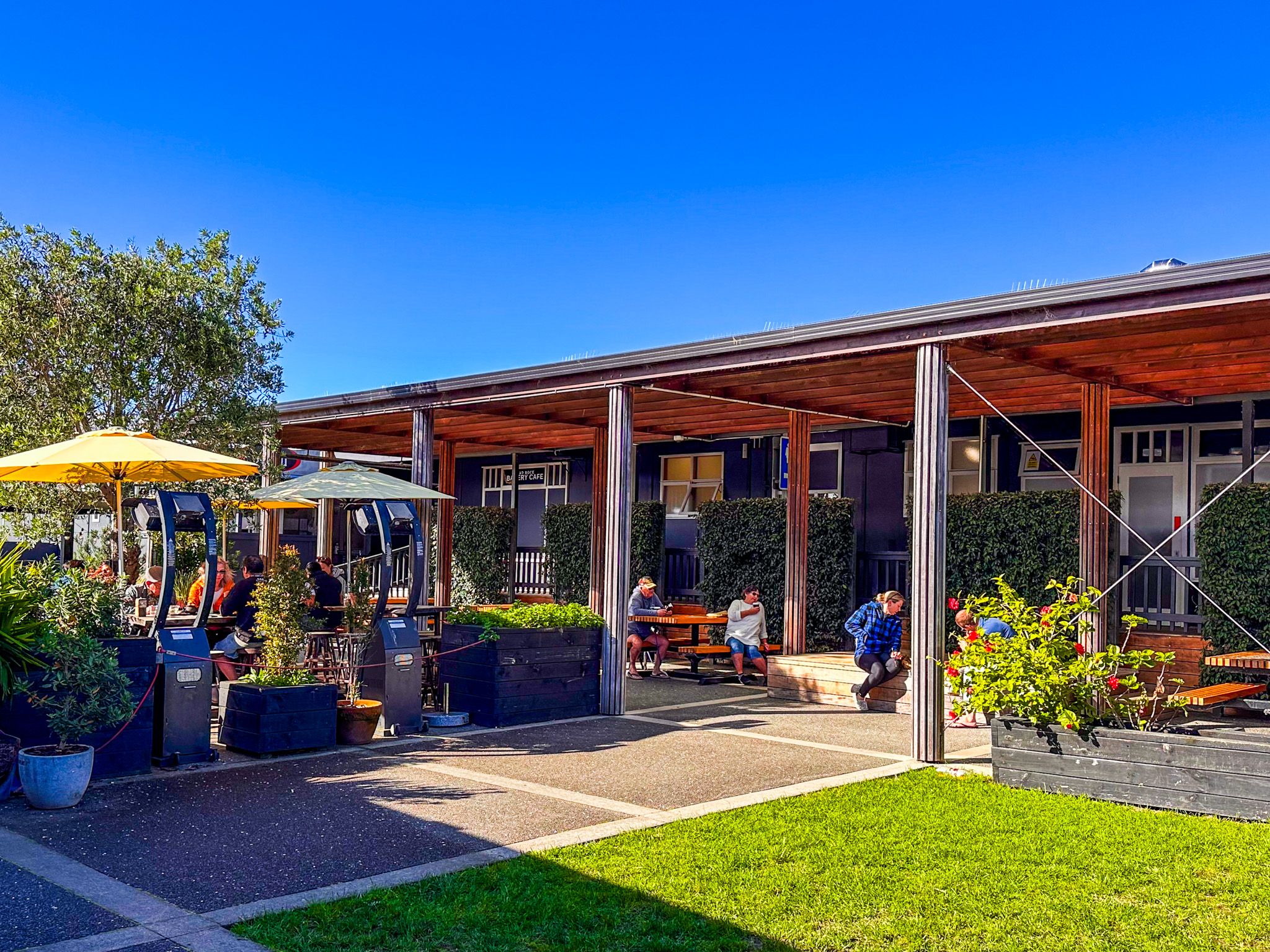
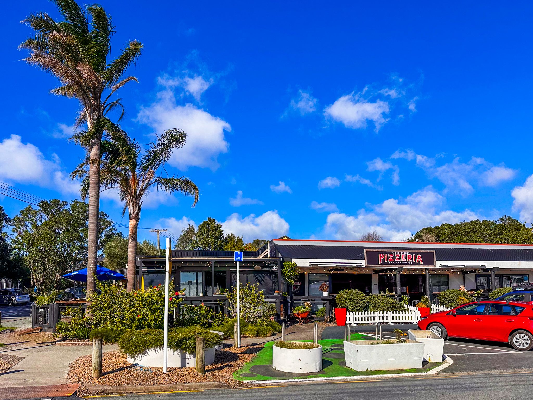
The Mangawhai Museum, opened in 2014, presents stories from Māori settlement to European farming, gum digging, and the modern surf culture. Mangawhai Heads has cafés, restaurants, boutique shops, and summer events, making it an easy day-trip or weekend base.
Getting There
From Auckland, drive north via the motorway and State Highway 1 to Kaiwaka, then turn east onto Kaiwaka Mangawhai Road, which becomes Moir Street as you enter the township. From Moir St, take Molesworth northwest all the way to Mangwahi Heads. Allow around 90 minutes.