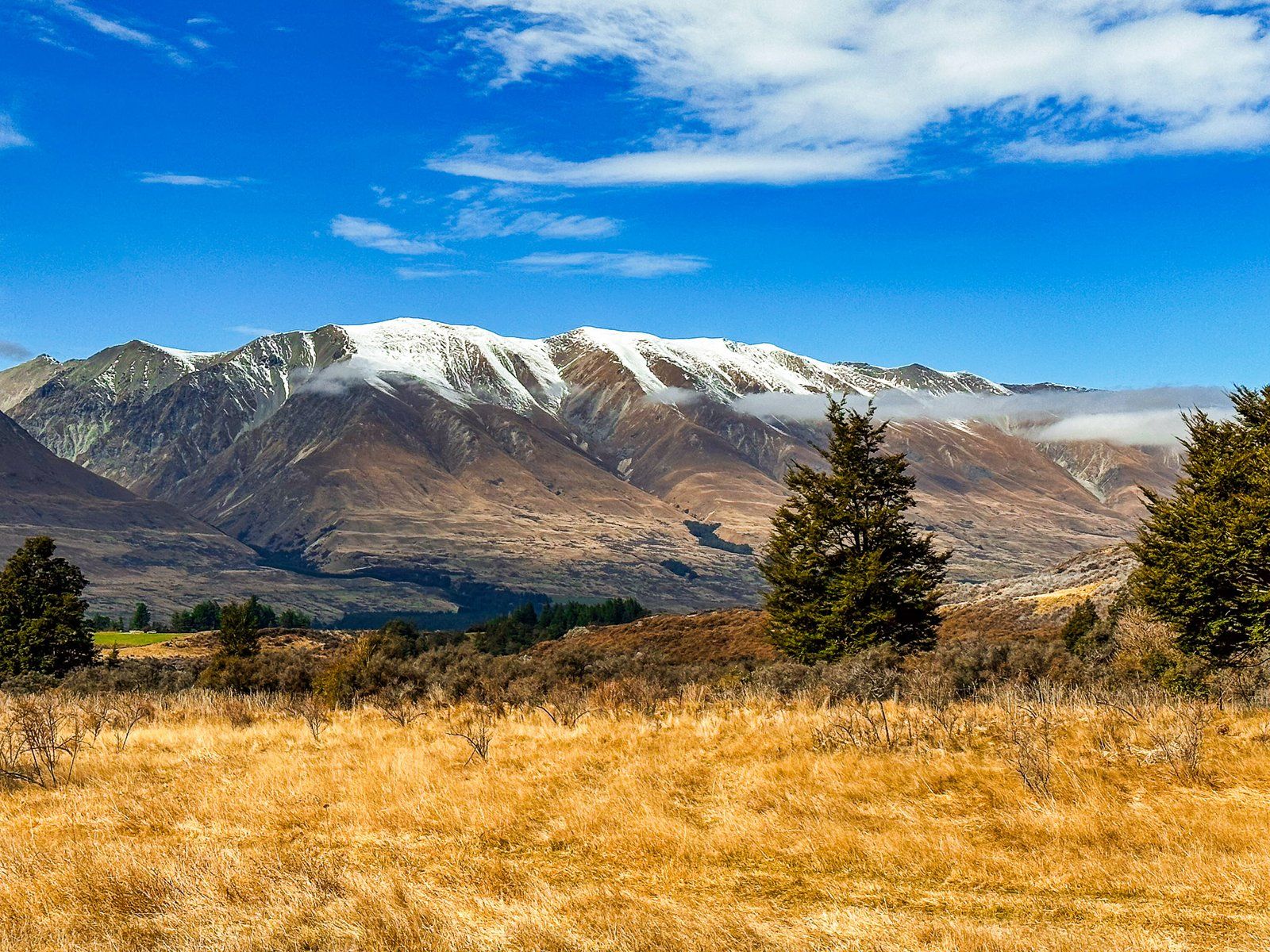
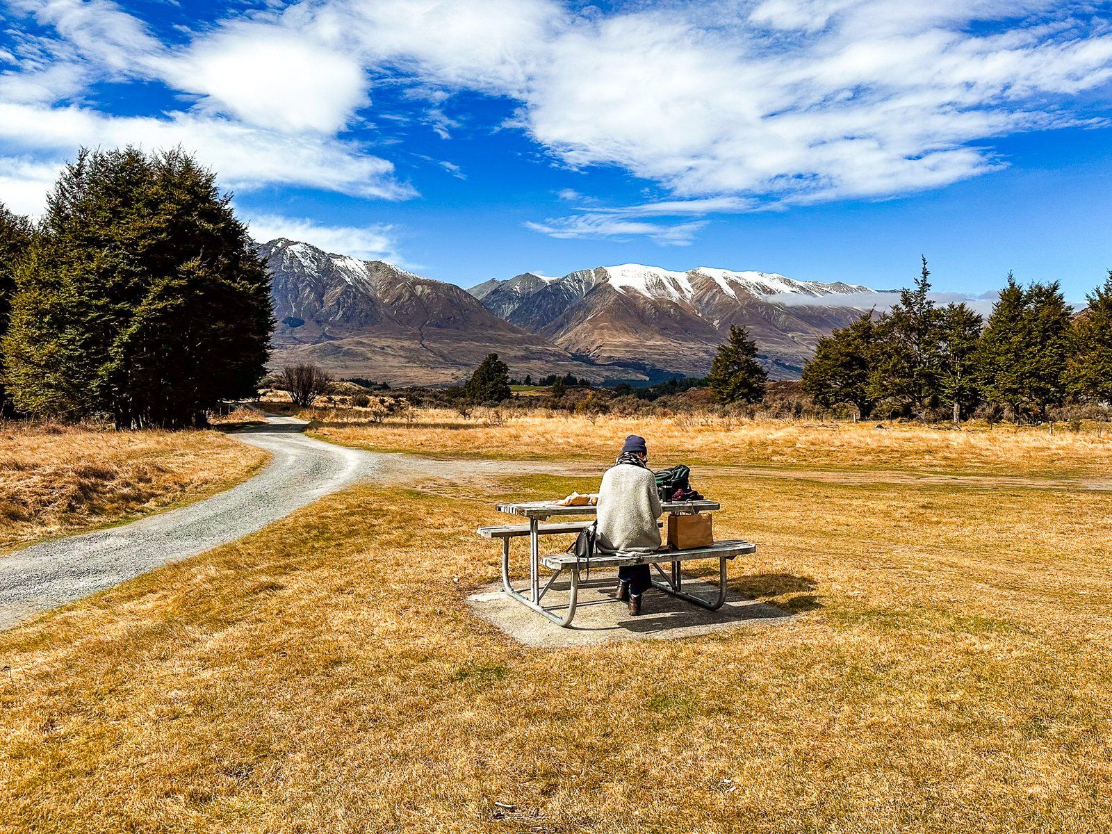
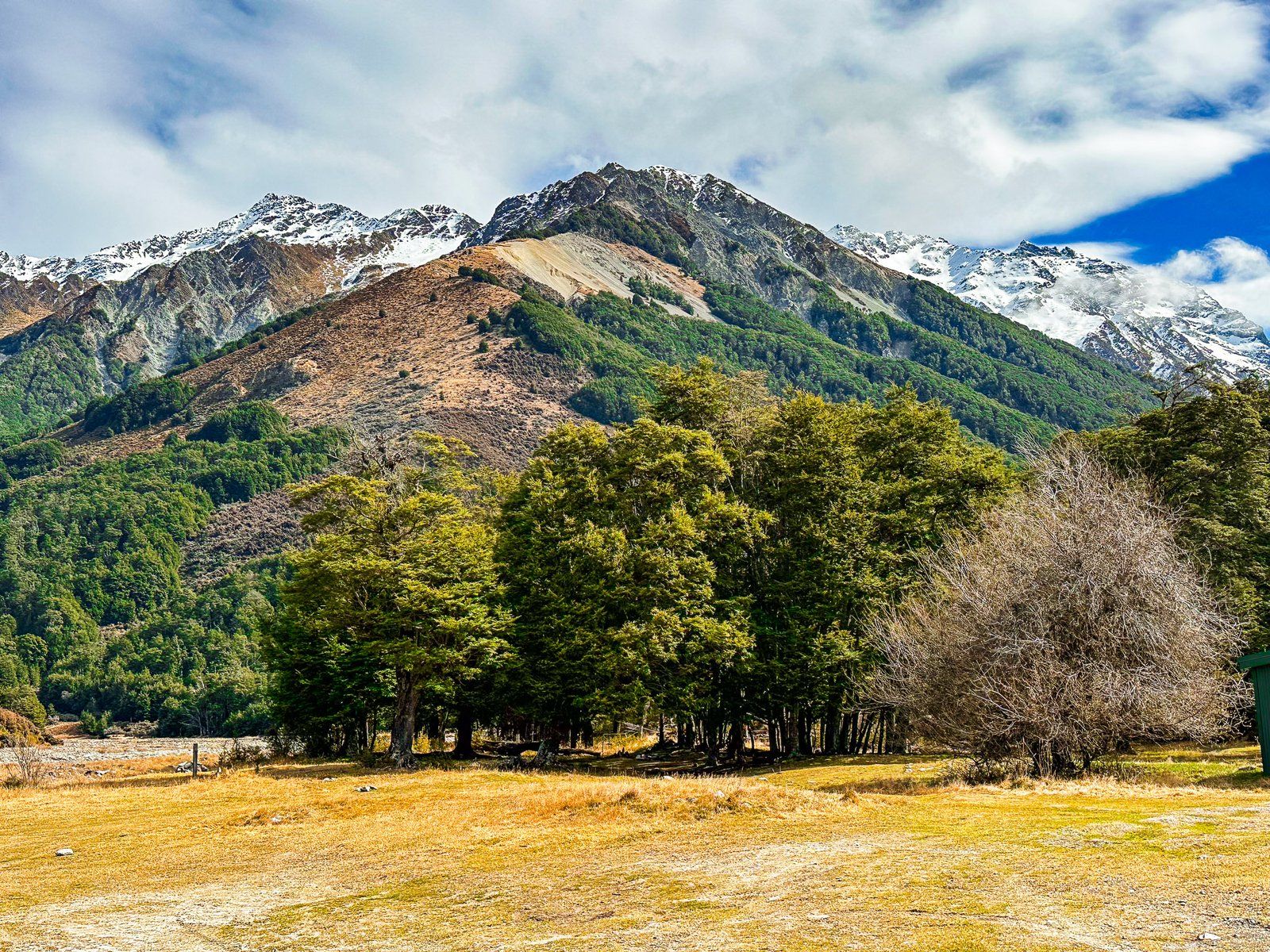
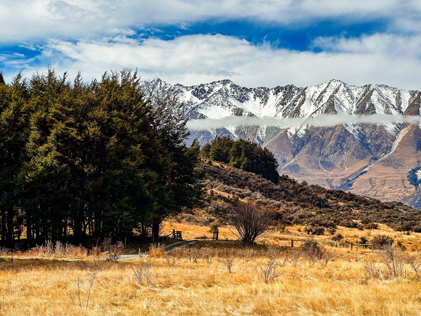
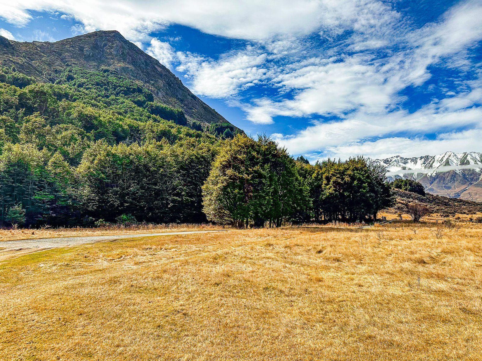
Temple Campsite is a beautiful DOC location in Ruataniwha Conservation Park. It is located beside Temple Stream, nestled between Ram Hill to the north, Shingle Hill to the south and 2,200-metre Steeple Peak to the west. Access is from Lake Ōhau Road, north of Lake Ōhau. The entrance to the campsite is mostly open grassland, with excellent views of the surrounding mountains and the Ben Ōhau range on the far side of the Hopkins Valley.
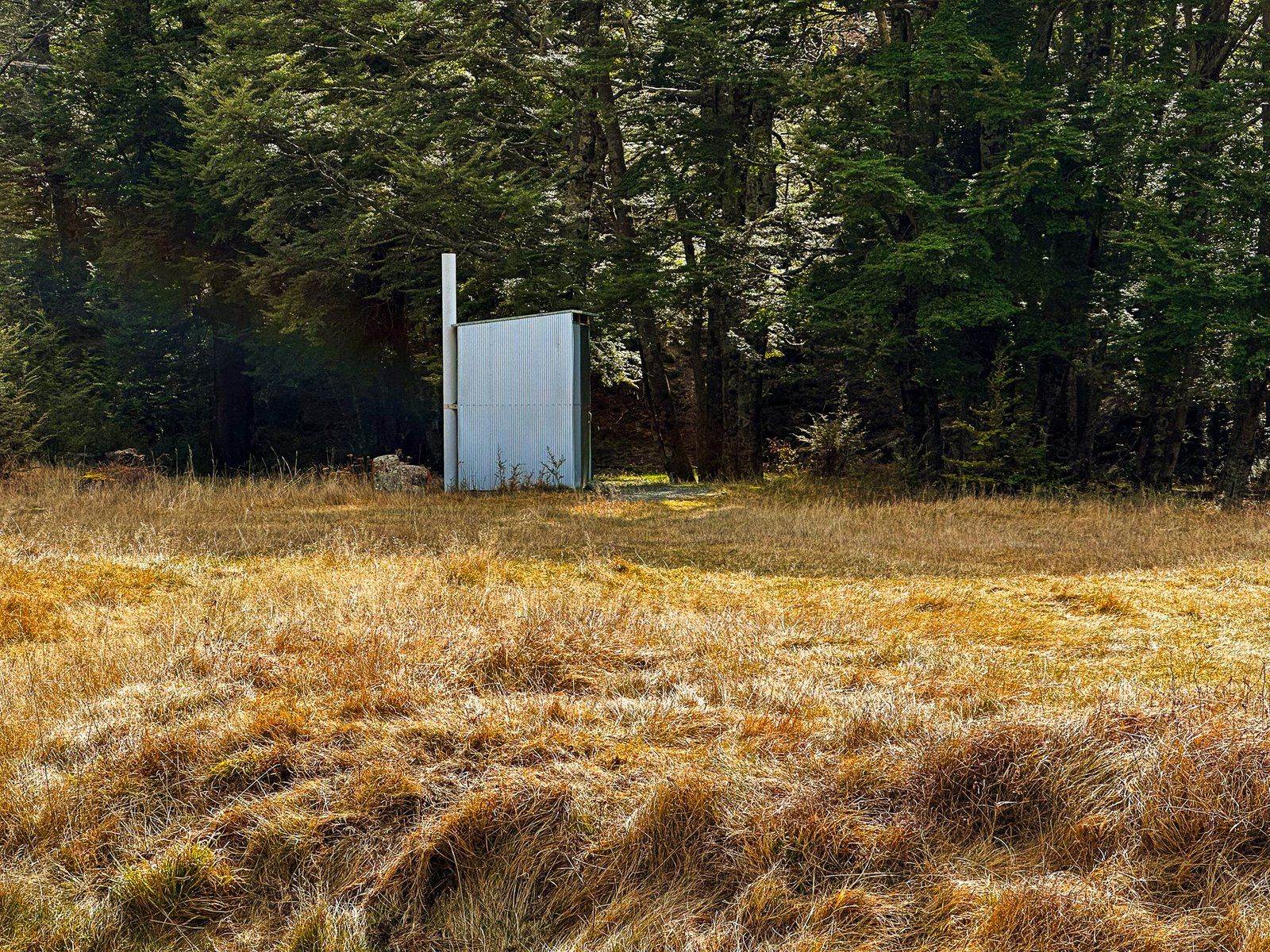
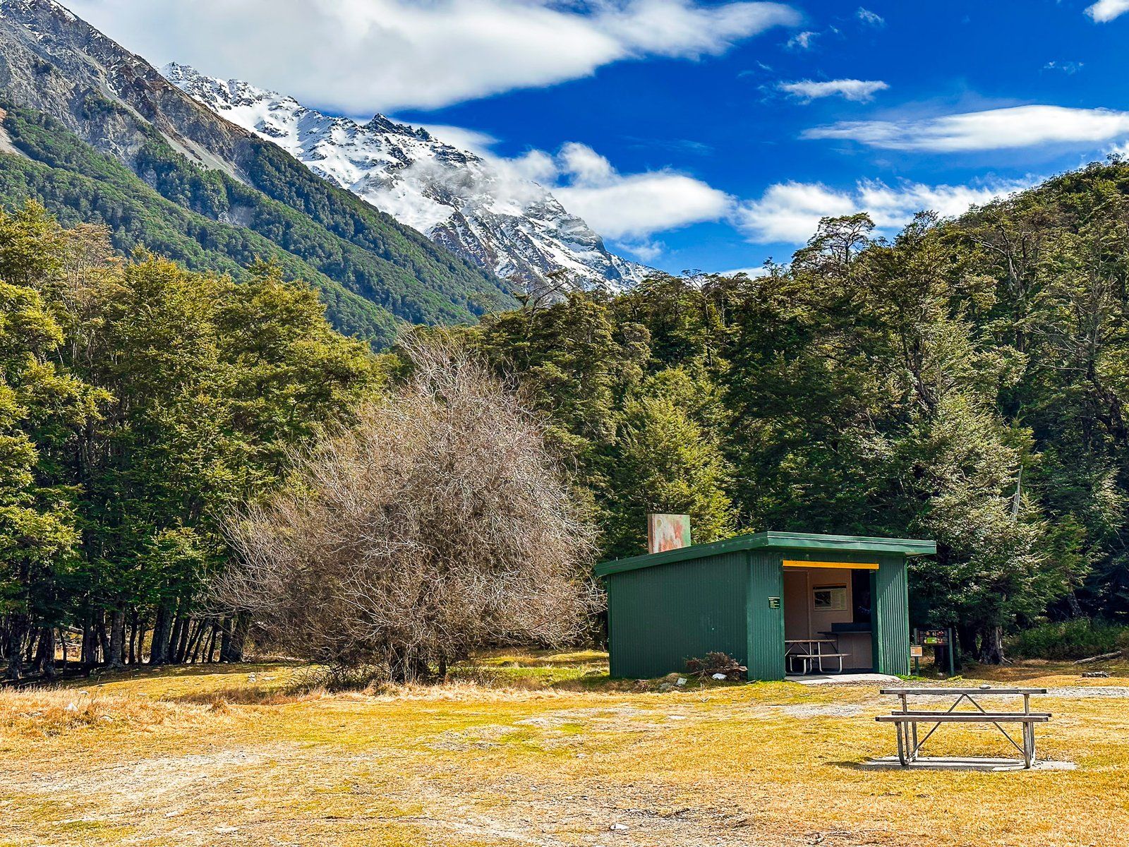
Access to the walking tracks in the North and South Temple Valleys is on the west side of the campsite, beyond the shelter. Follow the marked track and cross the stream where it forks between North and South Temple.
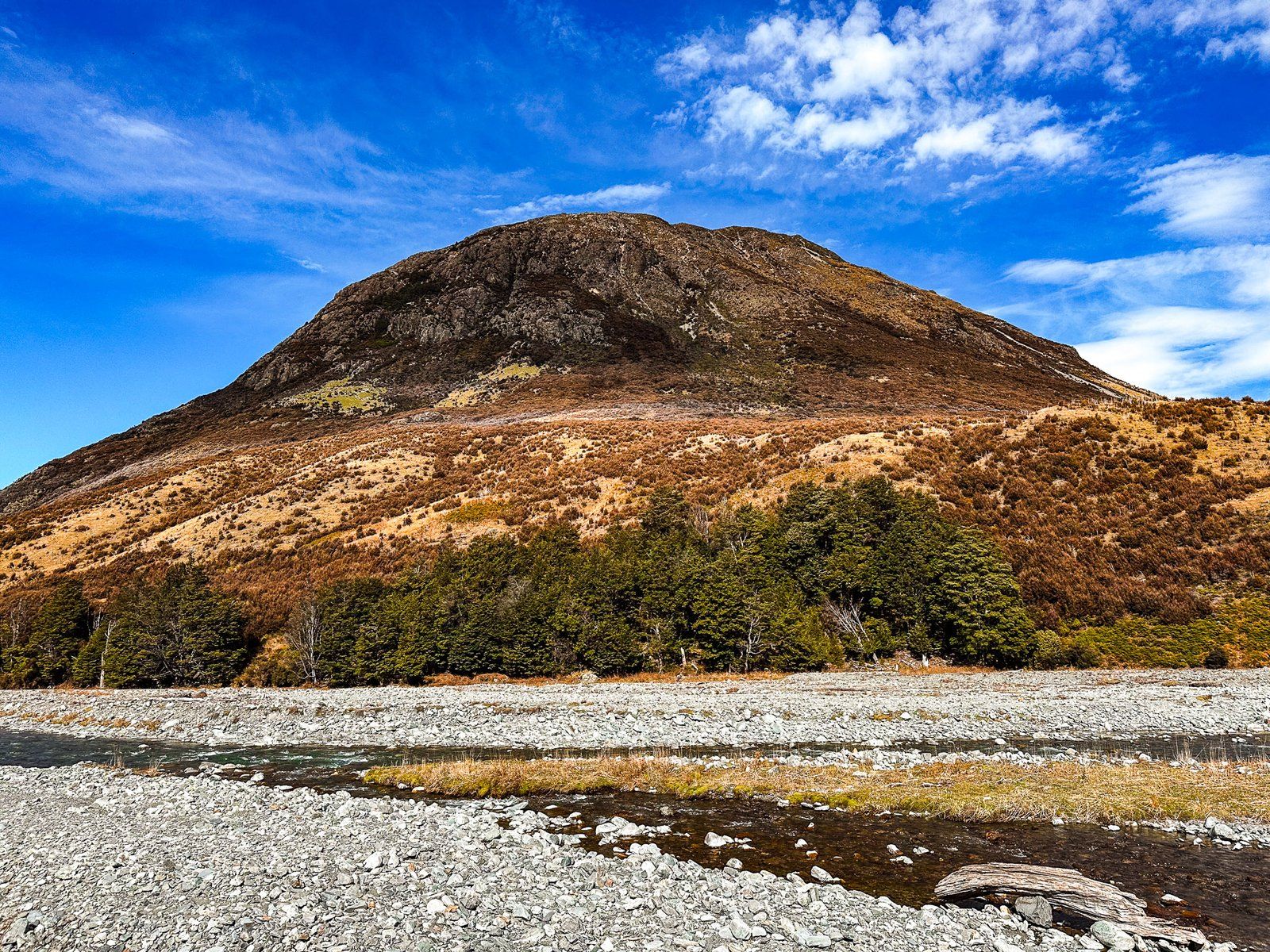
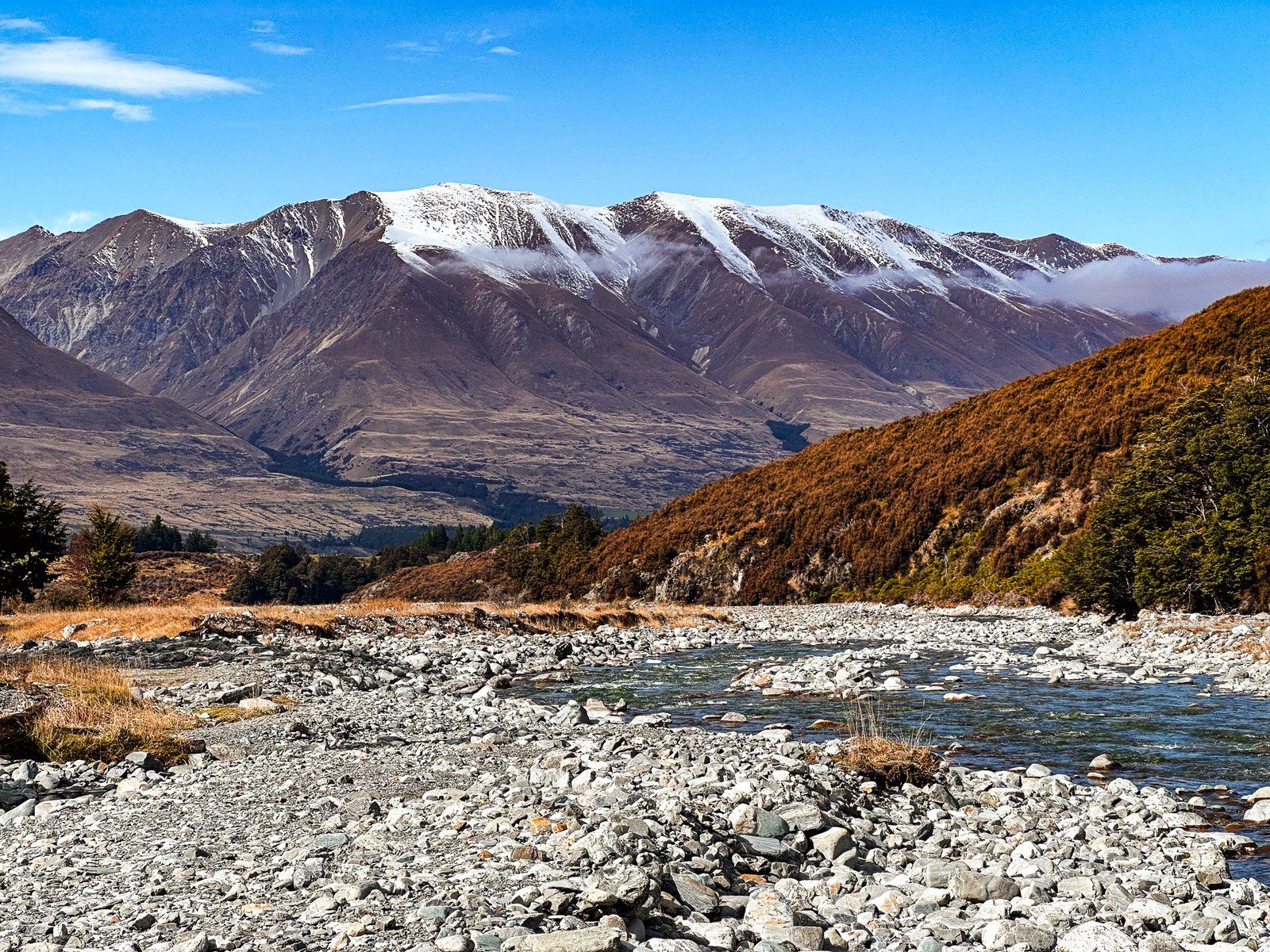
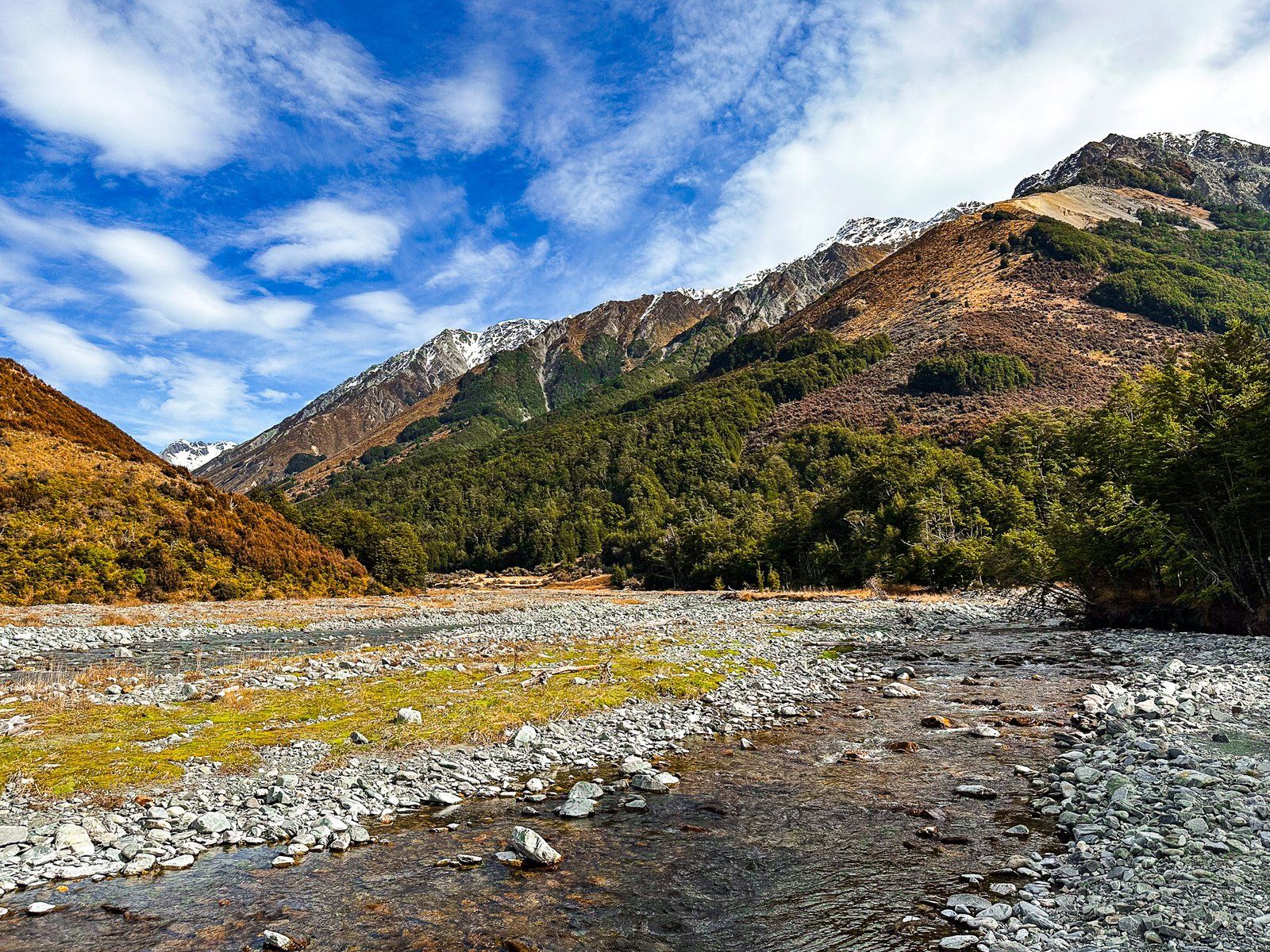
The North Temple Track takes about two and a half hours each way (ten km return), and is easily doable as a day walk. After crossing North Temple Stream near the fork, the track is mainly in the beech forest margin next to the stream. It climbs from 600 to 950 metres and ends at a cirque basin, dominated by Temple Peak at 2,289 metres. The sides of the basin are steep and over 1,000 metres above the entrance to the cirque.
South Temple Track to South Temple Hut is longer at seven and a half km one way, starting from the fork and climbing to 800 metres. Storms have damaged this track, but is still doable as an in-and-out day walk at three to four hours each way. If you have more time, you can stay at the hut and walk another five km north along the Upper South Temple Track towards Temple Peak. You must cross the stream to reach the hut, so be careful after rain.
For experienced trampers, you can connect the tracks via Gunsight Pass, which is 1,900 metres high between Belfry and Bruce Peaks. This steep climb up rocky/scree slopes is best taken north from the cirque to south. Take care and allow two days with a stay in South Temple Hut.