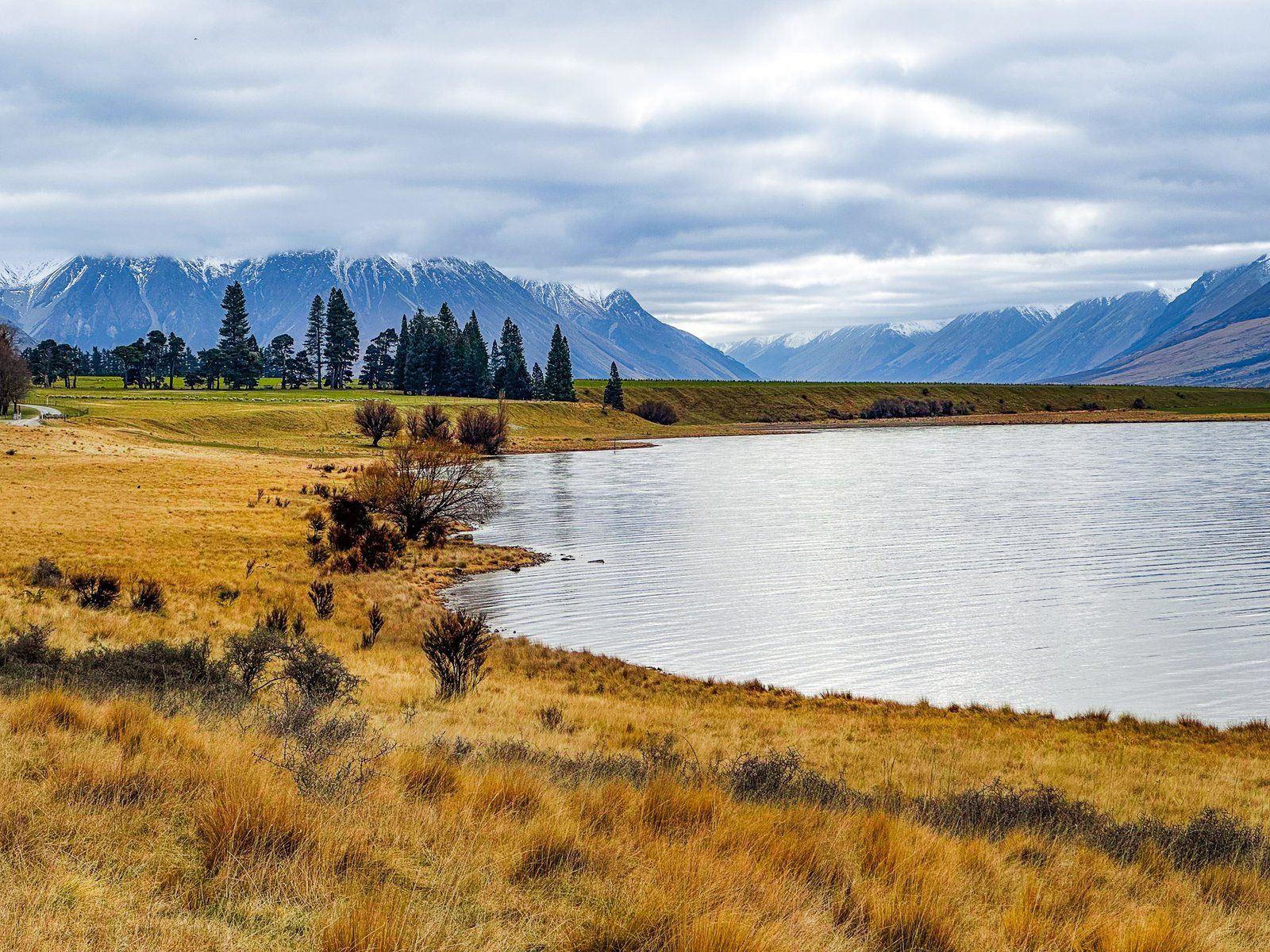
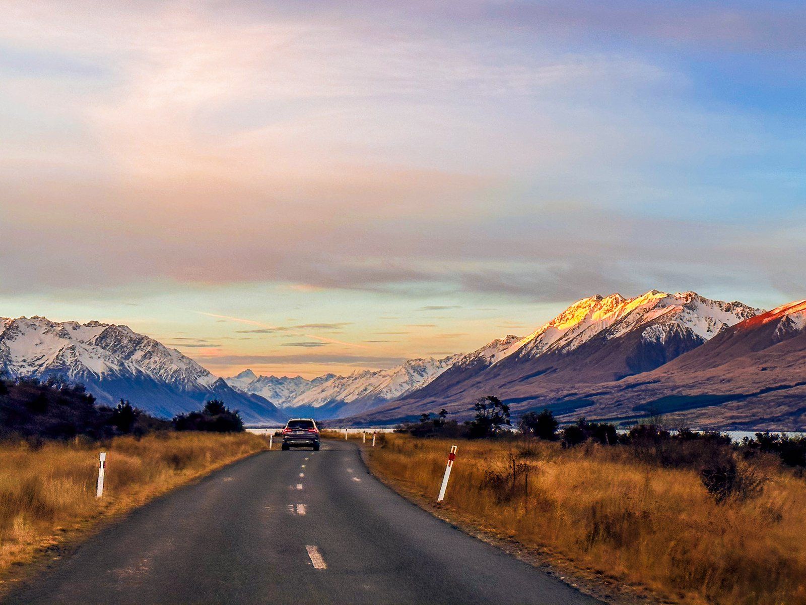
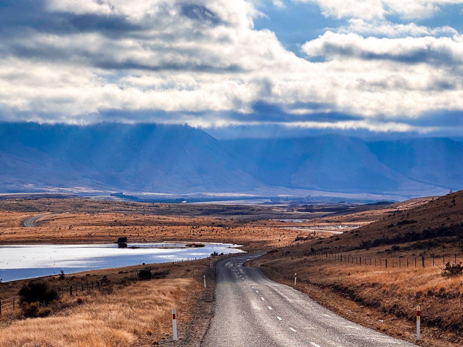
Lake Ōhau Road is accessed from State Highway 8, about halfway between Omarama and Twizel, in the Mackenzie Basin. The road heads northwest for 15 km to Lake Ōhau. It starts about 500 metres above sea level. Then it rises to 600 to the top of the glacial moraine before returning to the lake at 540 metres. It initially crosses farmland, then changes to tussock grass with wetlands and several lagoons on the moraine before the lake.
Watch out for the “spade line”, a roadside memorial to the oddball story of the original demarcation of the Canterbury and Otago provincial border signposted before the lake. The memorial consists of an explanatory sign and an original piece of barbed wire! A similar sign can be found at Birchwood Picnic Area in the Ahuriri Valley.
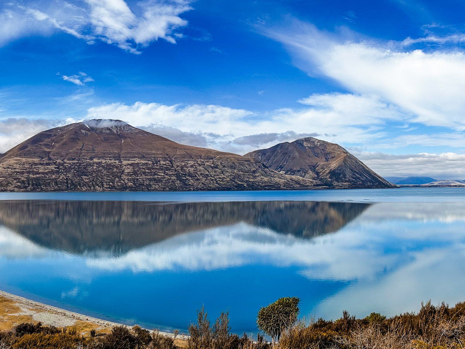
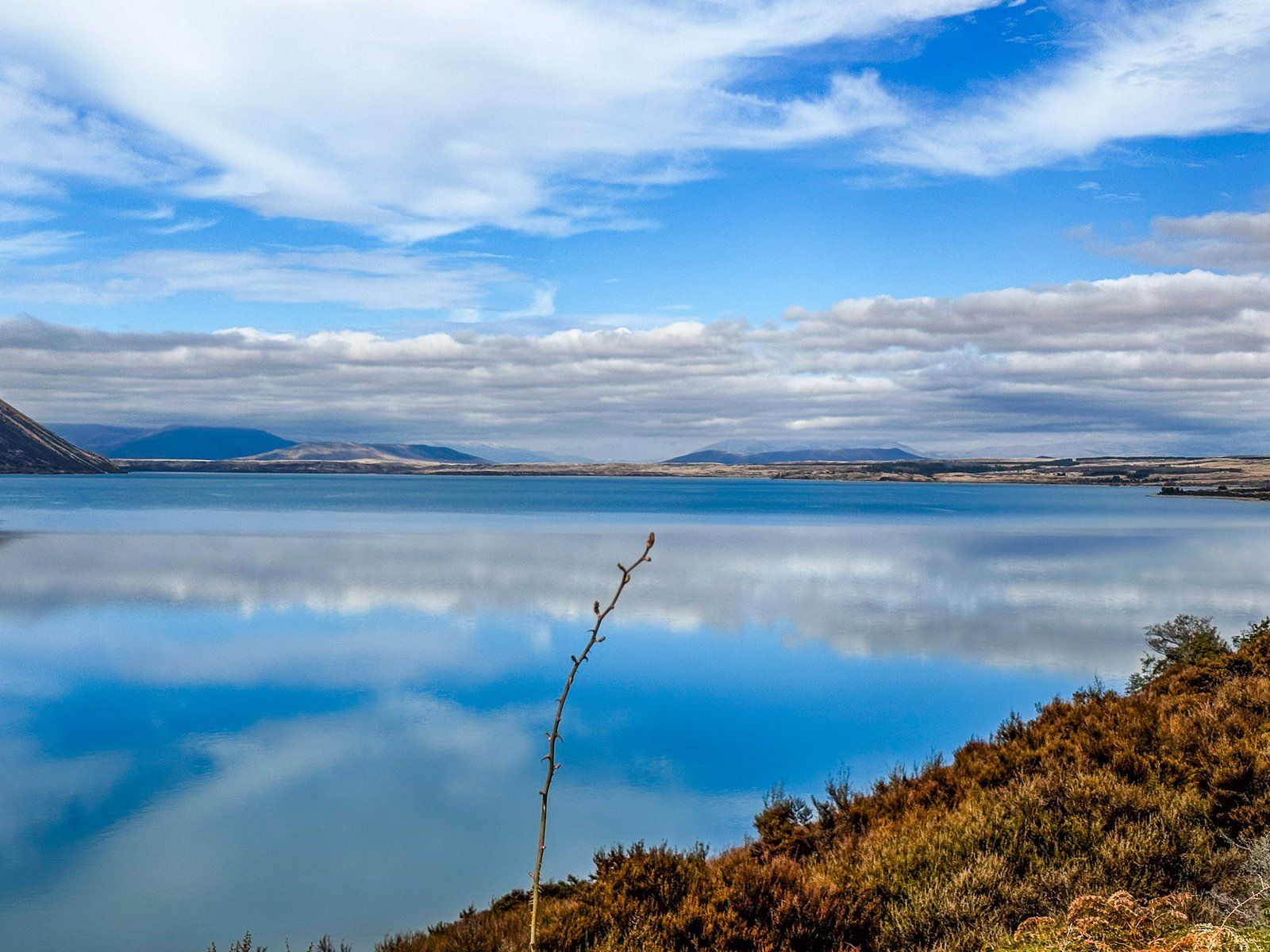
As the road approaches the lake, the views are stunning, with the prominent 1,522-metre-high Ben Ōhau fronting the Ben Ōhau Range on the east side of the lake and Barrier Range to the west. Where the road reaches the lake, there is a short side road and a parking area to the east with a gravel beach, also the start of the Lake Ōhau Track.
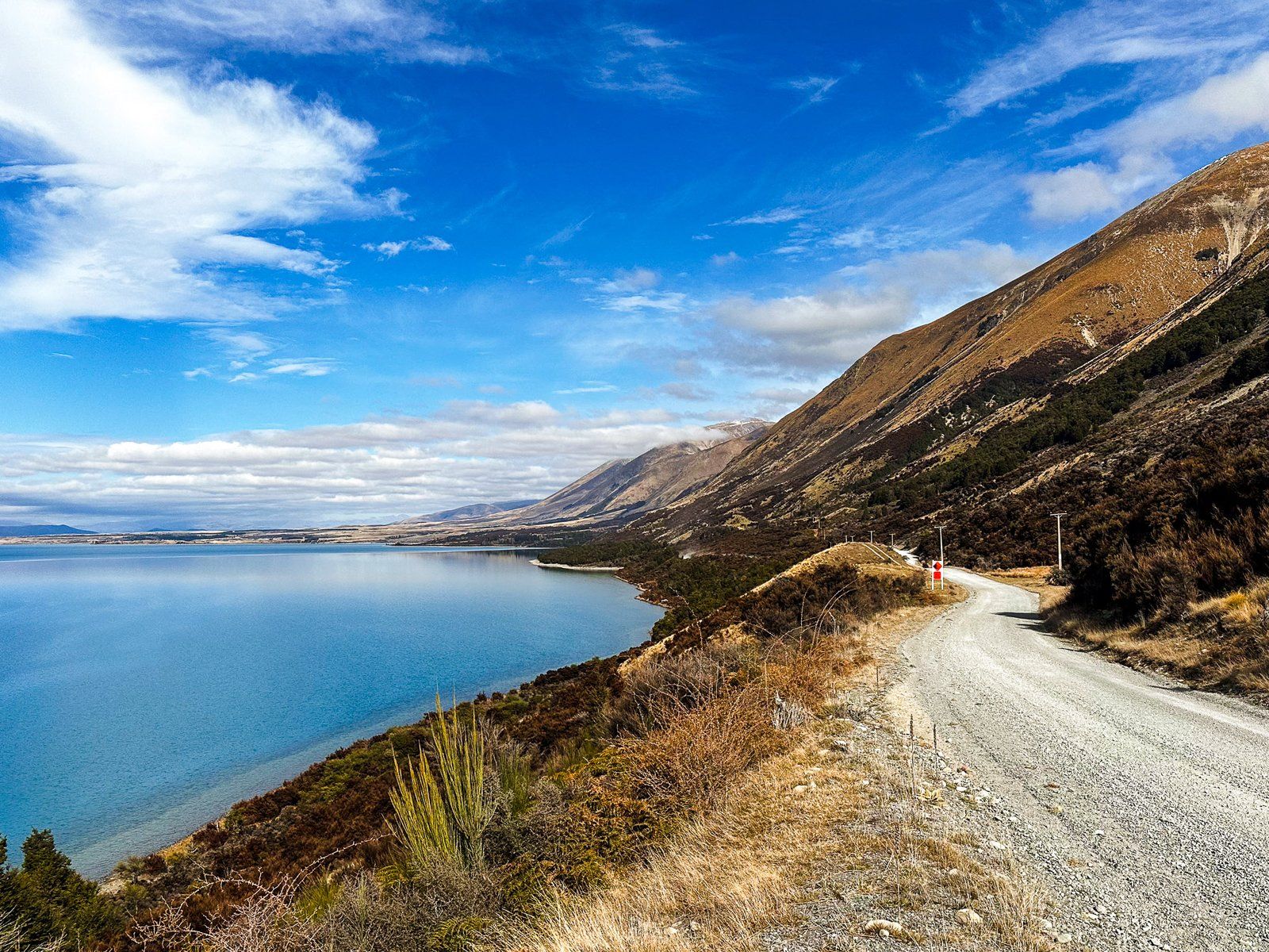
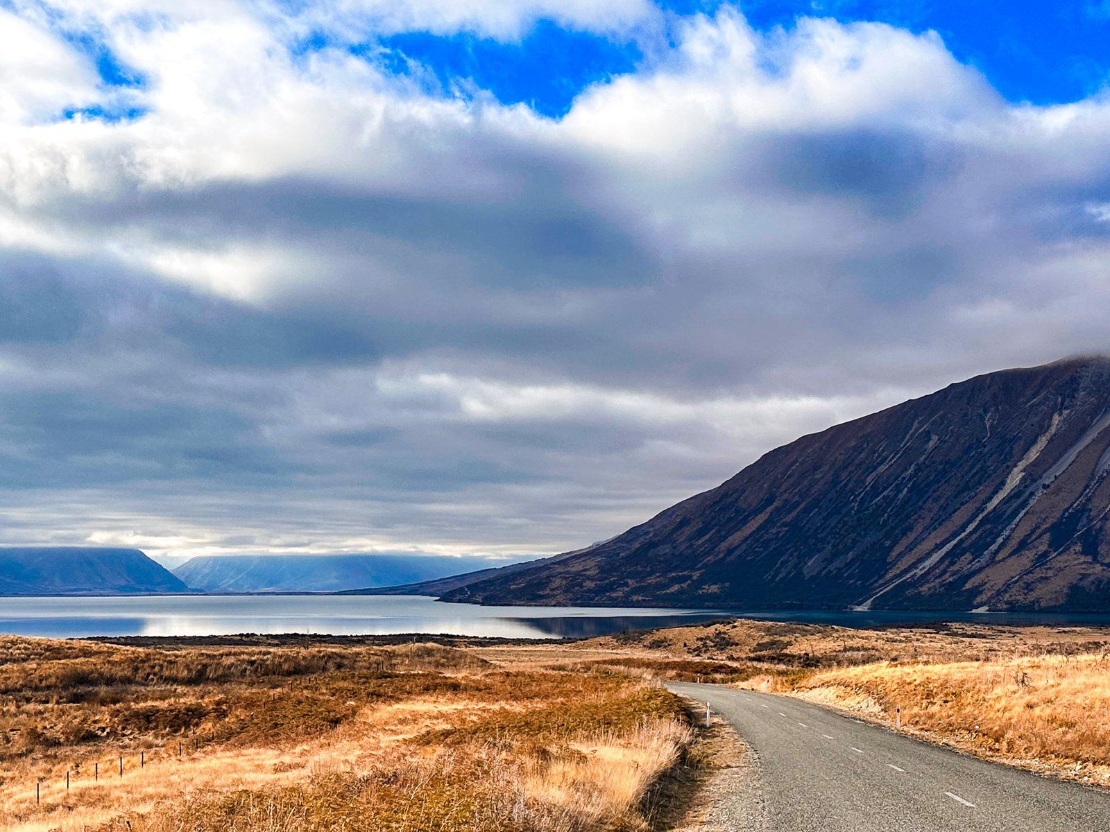
Lake Ōhau Road then follows the west side of the lake for 12 km to Lake Ōhau Lodge and the Ōhau ski field access. On the way is Lake Middleton, with a campsite and access to Lake Ōhau Alpine Village. This section of the road continues the Alps2Ocean Cycle Trail and Te Araroa from Lake Ōhau Track, so take care.
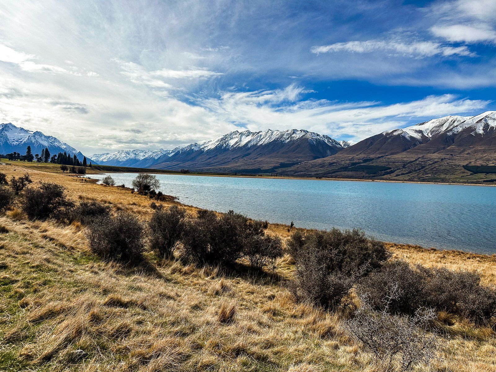
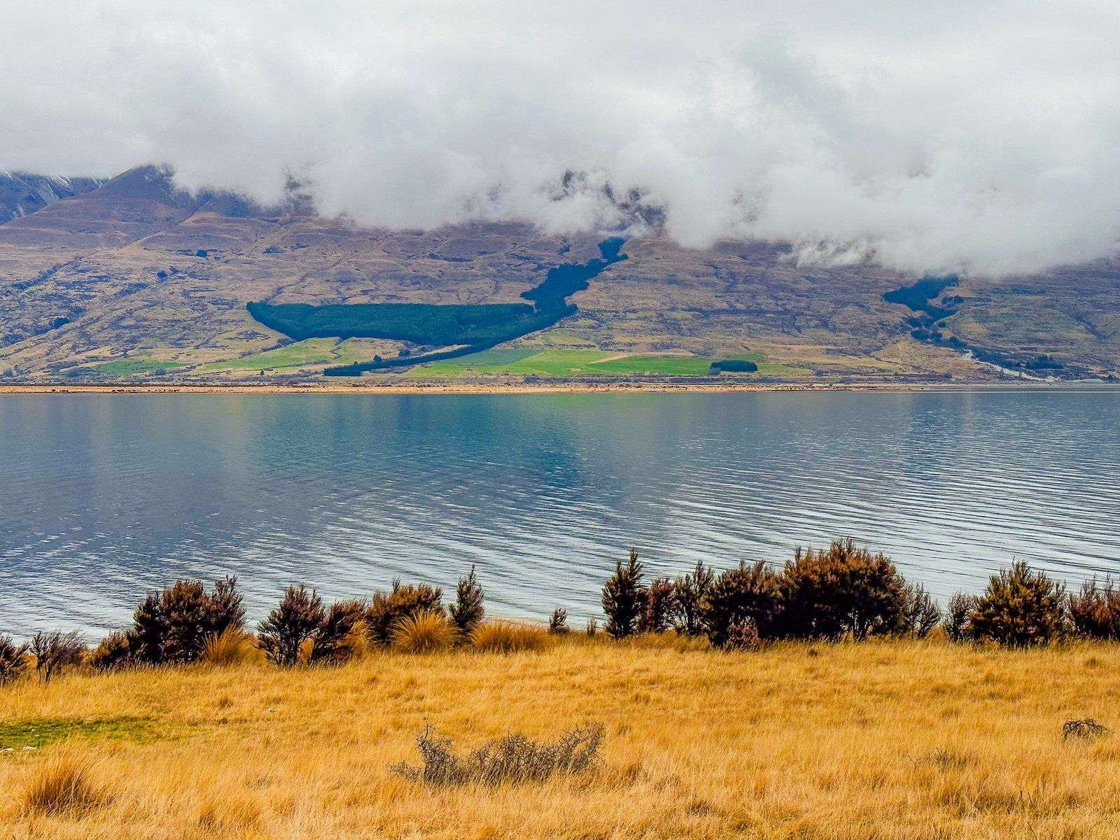
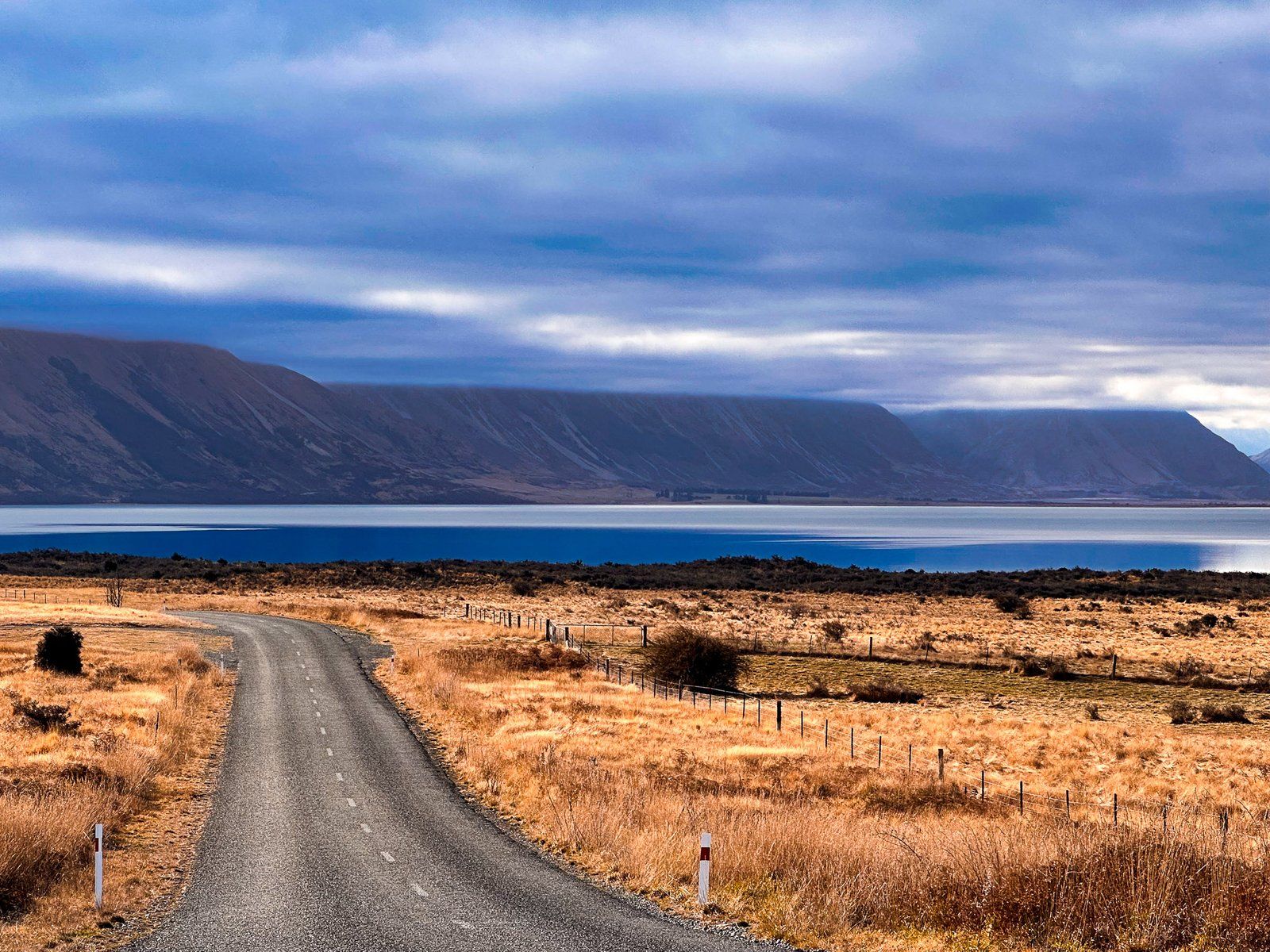
From the lodge onwards, the road goes from sealed to metal and follows the lake’s western edge for another eight km, passing Round Bush Campsite (DOC). It then enters the wide Hopkins River valley. Immediately to the left is a stone building ruin, probably with a few sheep. Continuing for ten km provides a short access road to Temple Valley, the Temple Campsite, and the Temple Valley tracks.
If you have the time, continue for another 11 km up the Hopkins Valley to the road end. This provides access to remote tramping and 4WD tracks and huts in the Hopkins and Huxley Valleys, on the edge of the Main Divide of the Southern Alps, with peaks up to 2,500 metres.