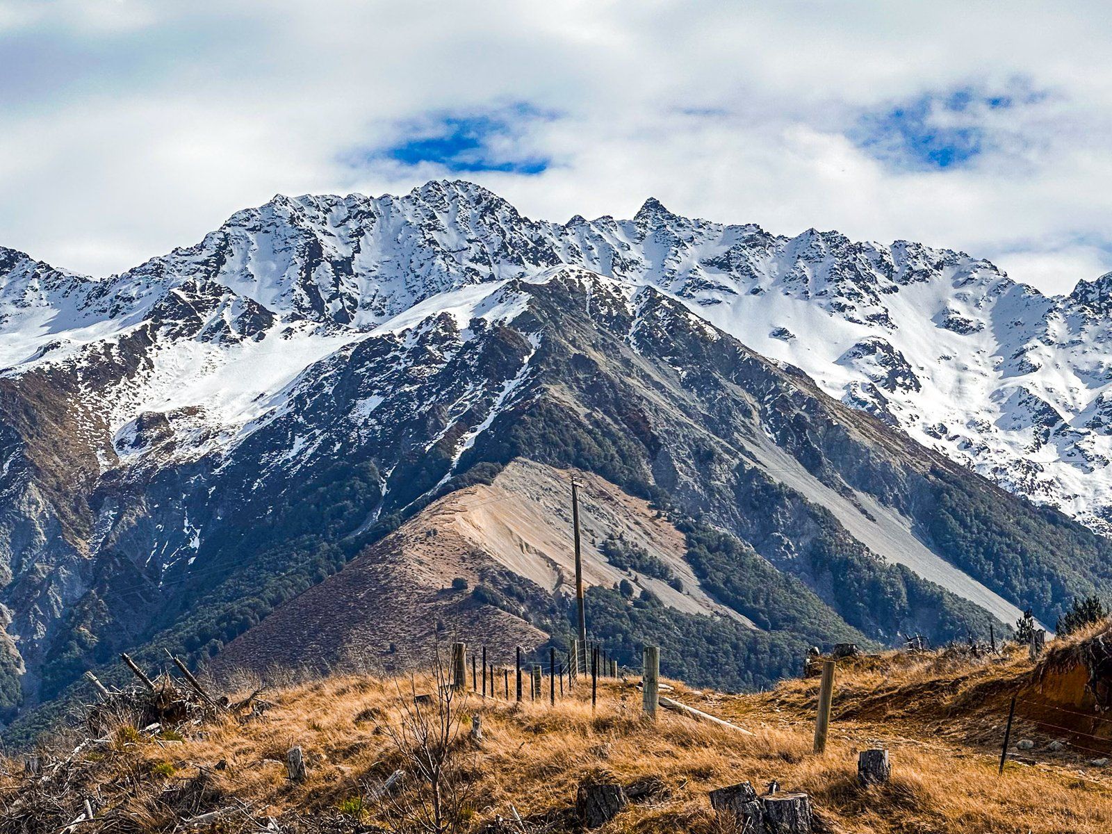
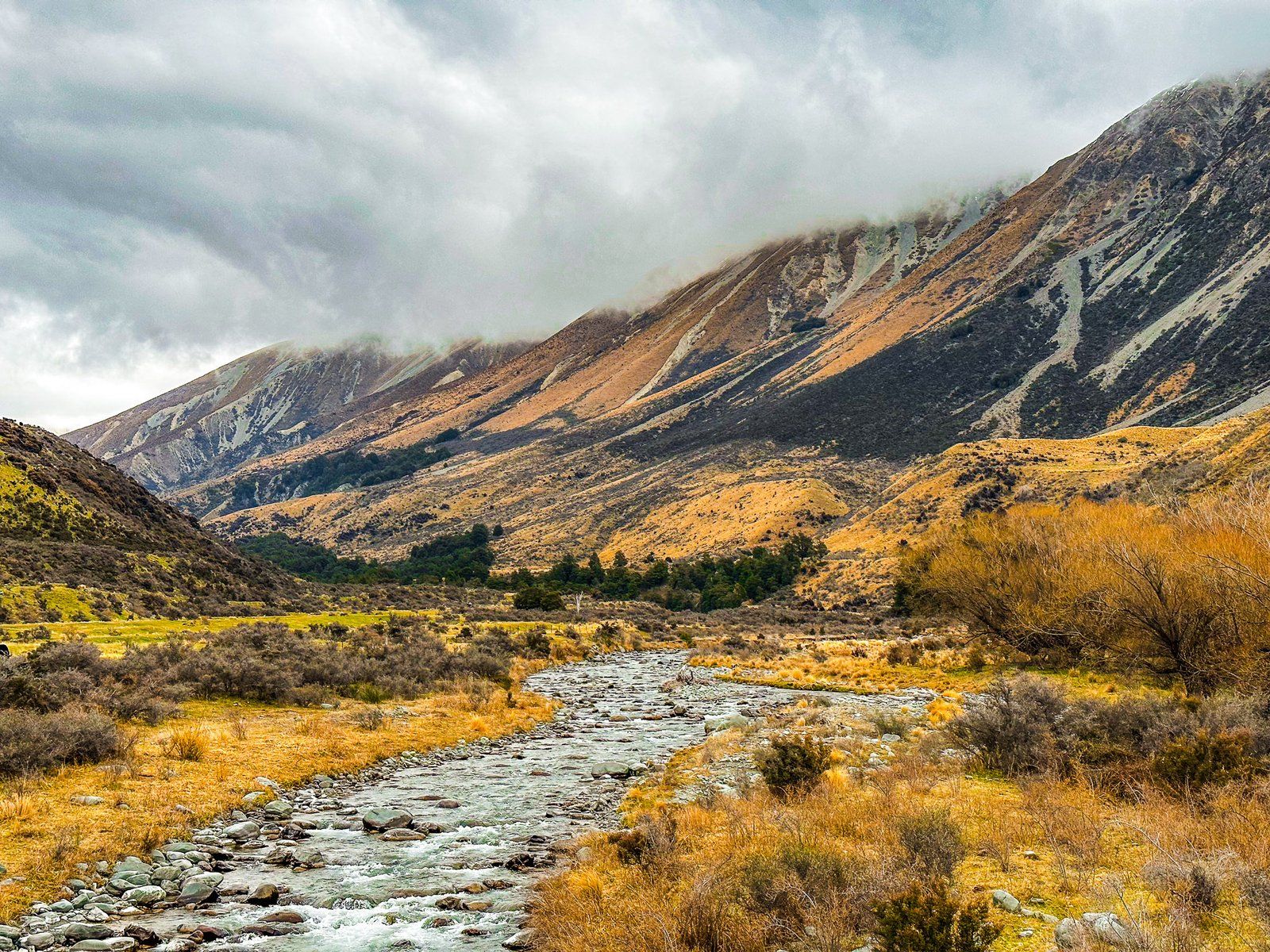
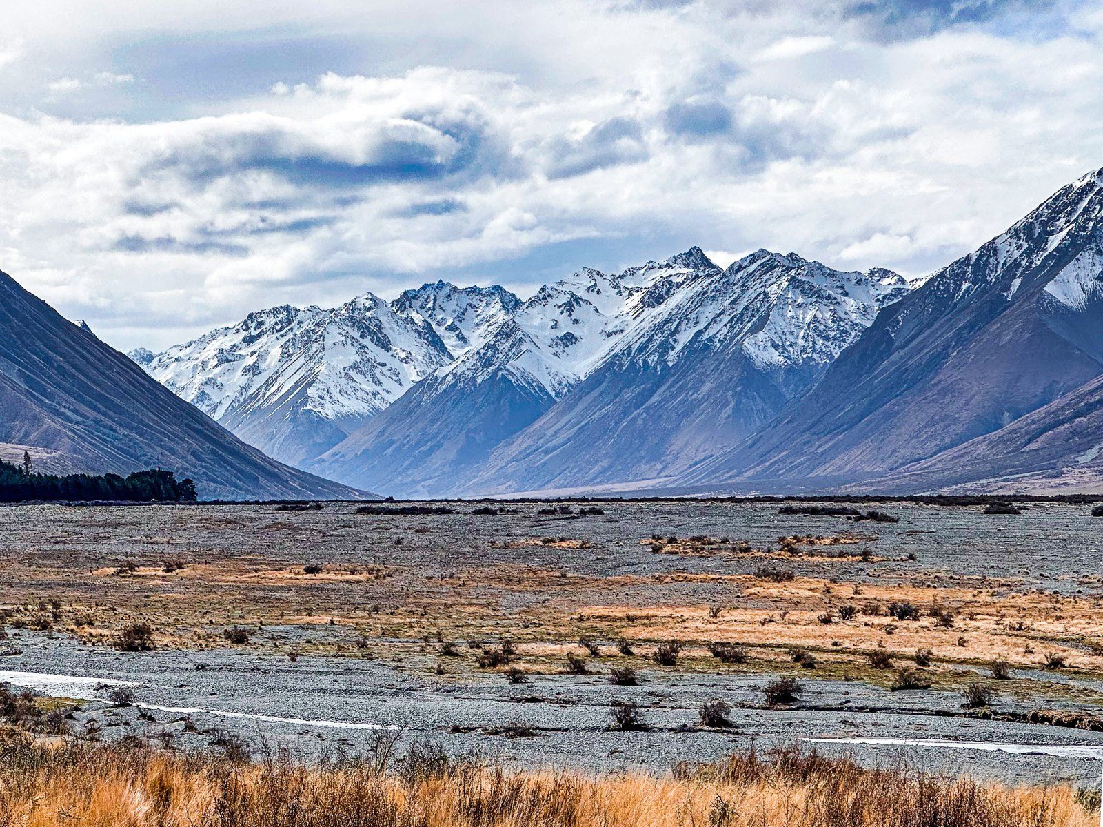
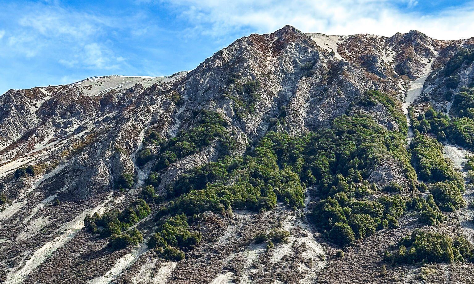
The Hopkins Valley is a post-glacial braided river valley at the head of Lake Ōhau, up to four km wide. It runs almost due north for about 12 km. It then splits, with the Dobson Valley and River to the east of the Naumann Range and the Hopkins Valley and River to the west.
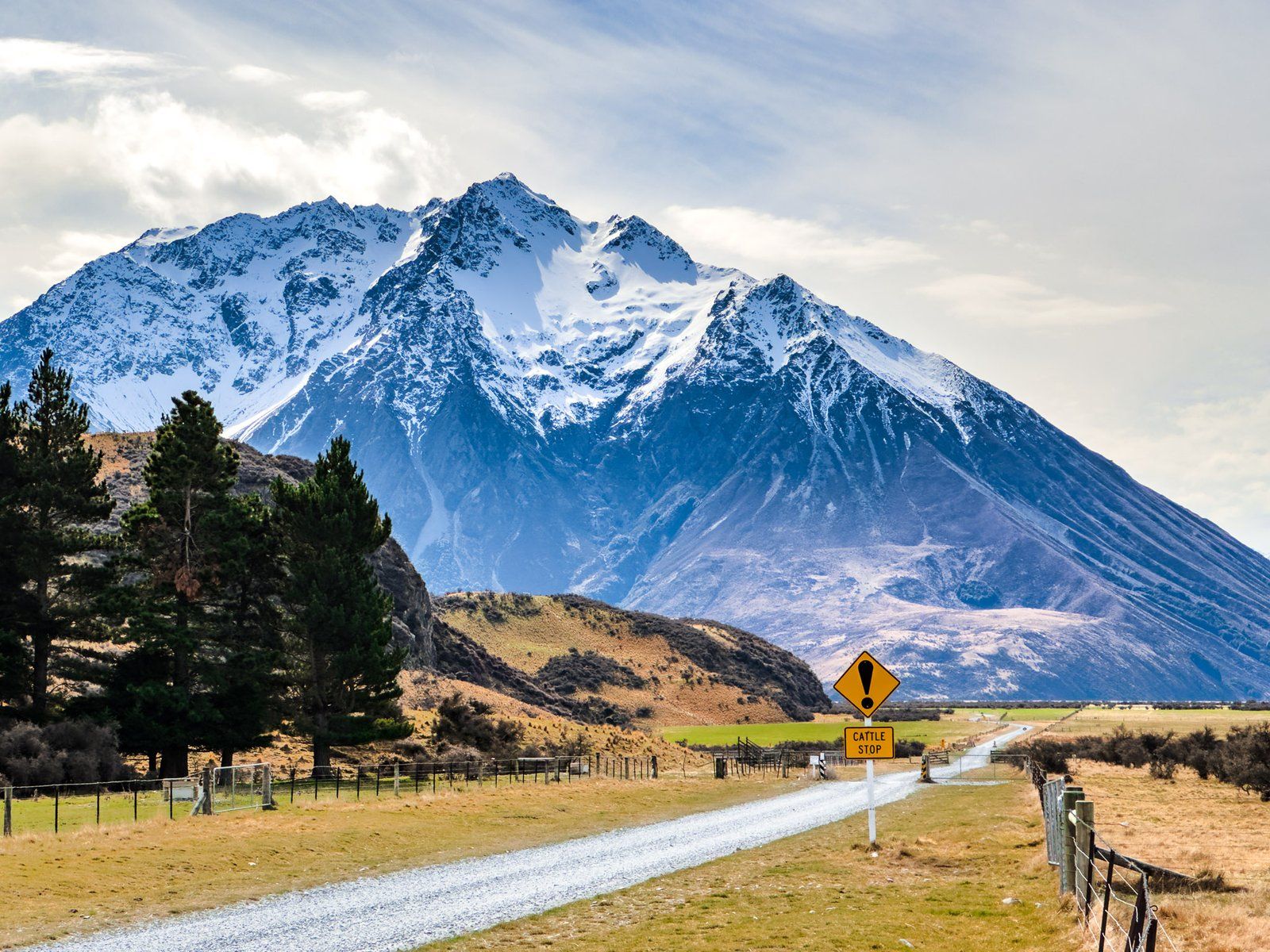
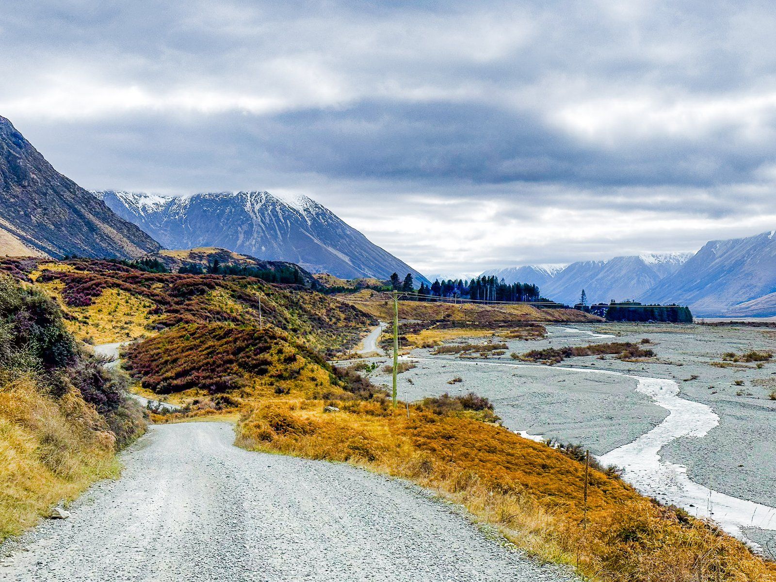
The Hopkins is accessible on metal Lake Ōhau Road, which runs into the valley for about 21 km. This provides access to various short and multi-day hikes in the Hopkins and the connected Temple and Huxley Valleys. There are DOC campsites and huts in all of the valleys. You can also get up the Hopkins beyond the road end with a 4WD as far as Erceg Hut. Once you get beyond the sheep station, you are in the Ruataniwha Conservation Park.
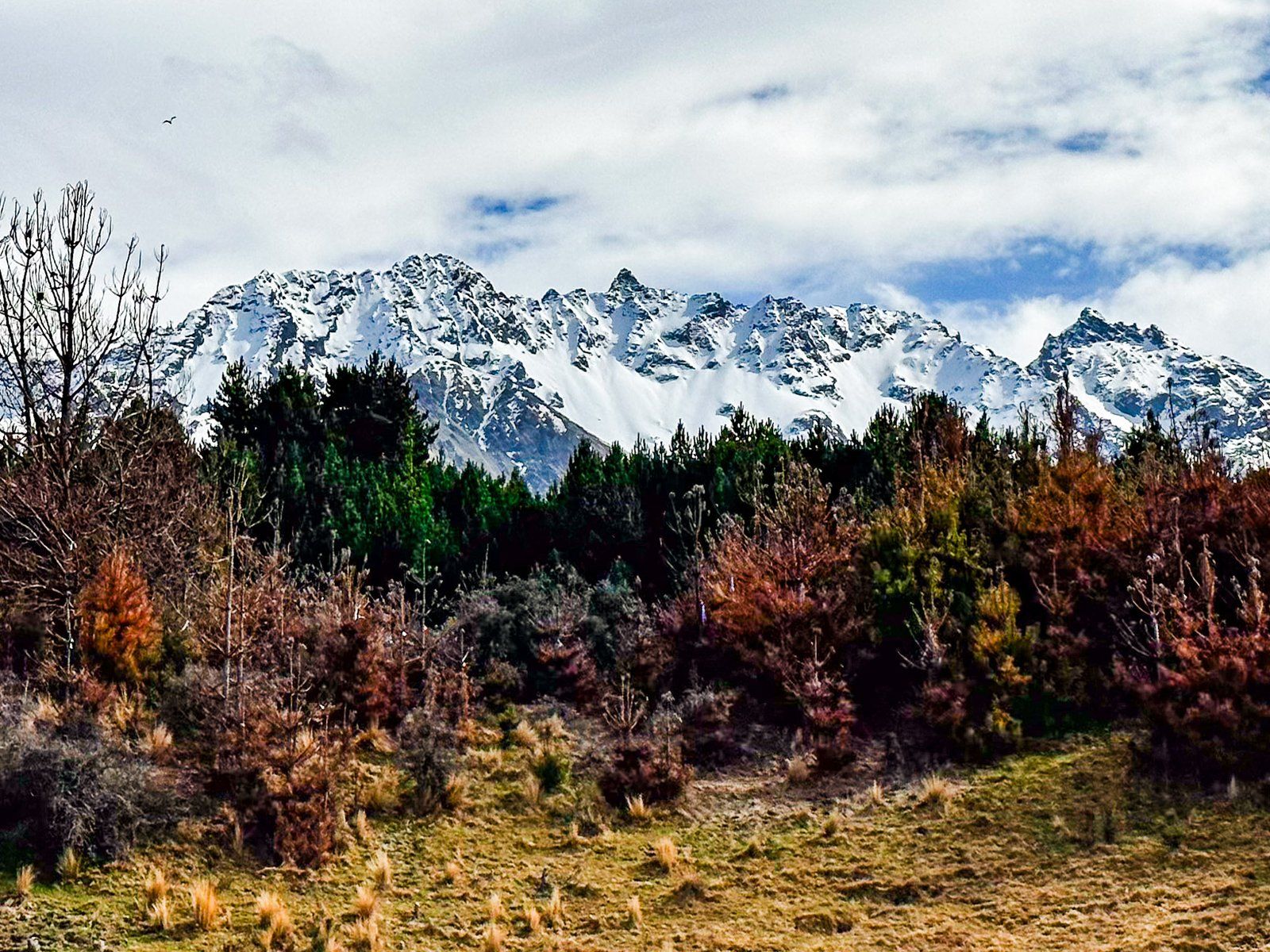
There are several remote huts for a trip up the Hopkins Valley, including Monument Hut, Red Hut, Elcho Hut, Dodger and Erceg Hut. By the time you get to Erceg, you will have hiked for about 32 km. You will be just several km south of 2,000+ metre peaks on the Main Divide, topped by Mount McKerrow at 2,650 metres.
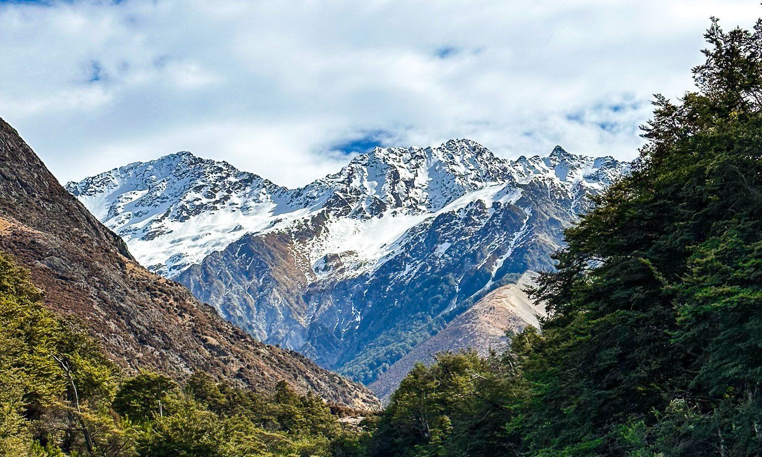
A shorter trip from the road end is to the Huxley Valley, which branches off the Hopkins Valley to the west a bit over four km north of the road end. There are two huts. Huxley Forks Hut is at the intersection of the valley with its north and south branches, and Brodrick Hut is at the top of the north branch of the Huxley Valley.
If you don’t want to go as far as the end of the road, take the turnoff from Lake Ōhau Road to signposted Temple Campsite and Valley. This is about six km north of the top of the lake.