Road access to the Marlborough Sounds is limited. One of the options is Port Underwood Road, a rugged half loop that connects Rarangi at the north end of Te Koko-o-Kupe / Cloudy Bay to Whanganui / Port Underwood, then to Picton in Queen Charlotte Sound / Totaranui.
Because it is rugged, with limited facilities along the way, it tends to be overlooked by tourists. But there are several attractive, accessible bays, with camping at Pukatea / Whites Bay, Robin Hood Bay and Whatamango Bay, plus some amazing views and interesting walks, from easy to challenging tramps.
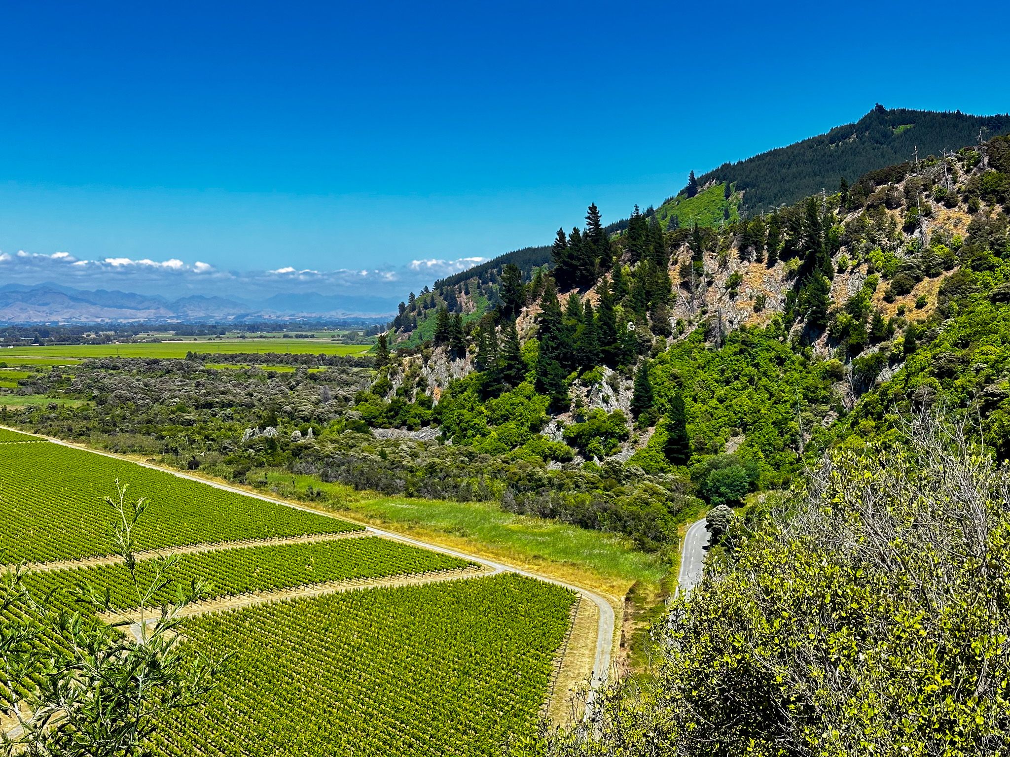
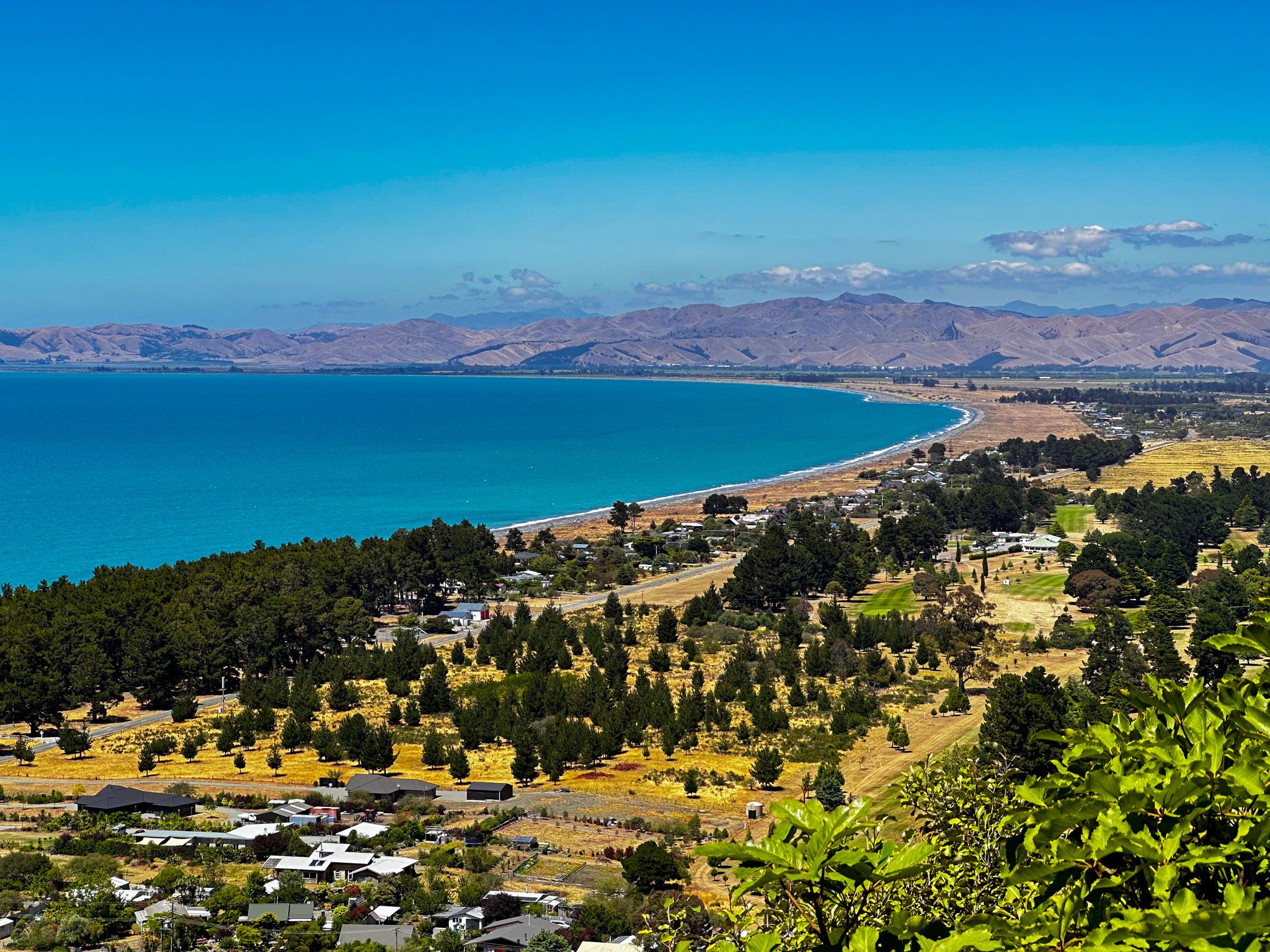
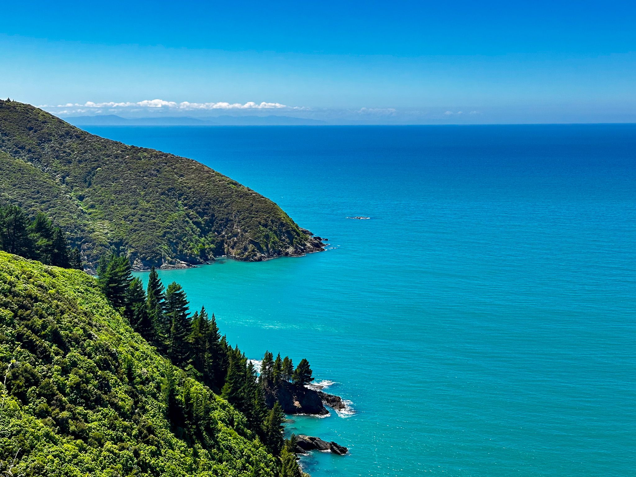
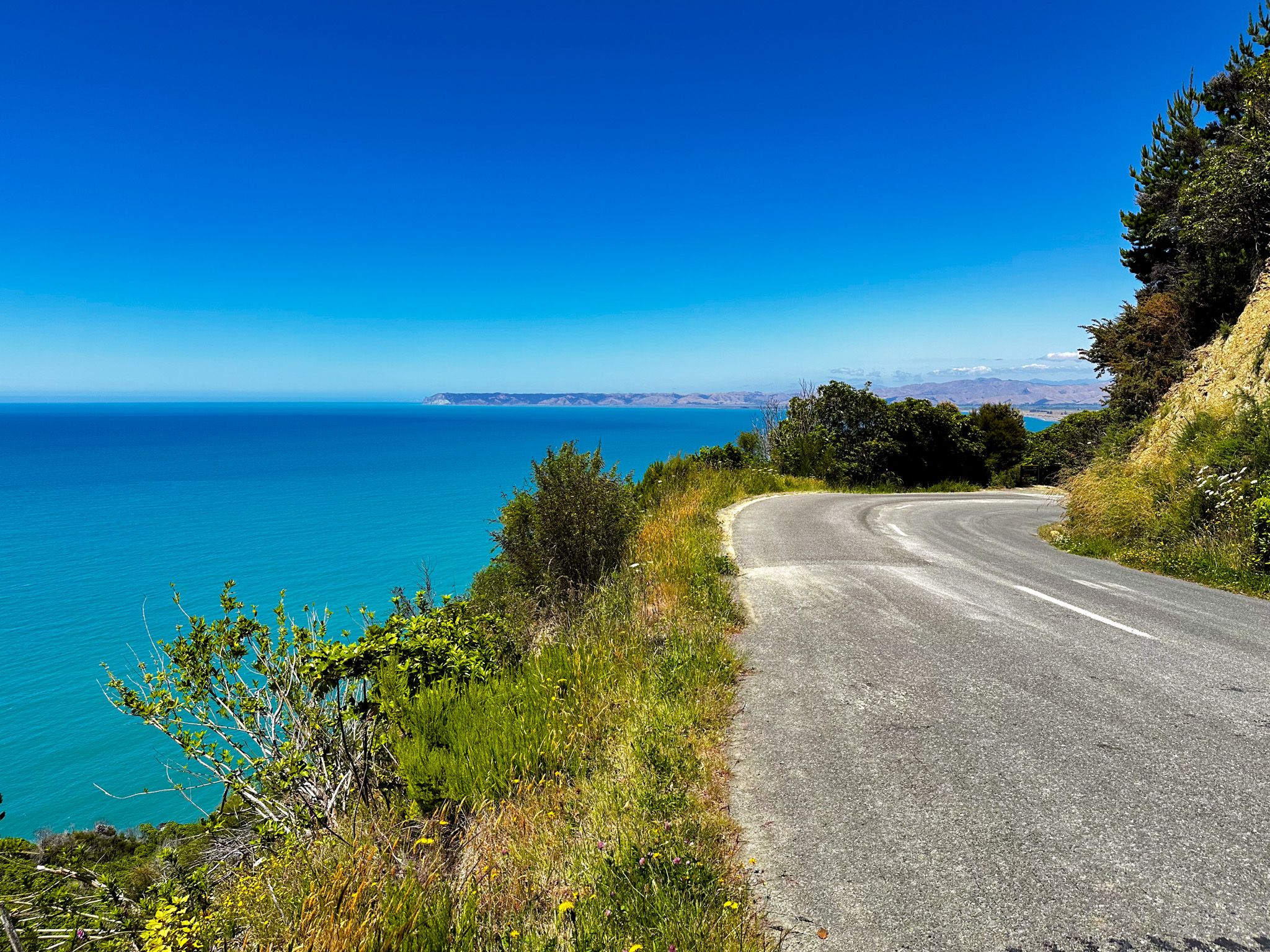
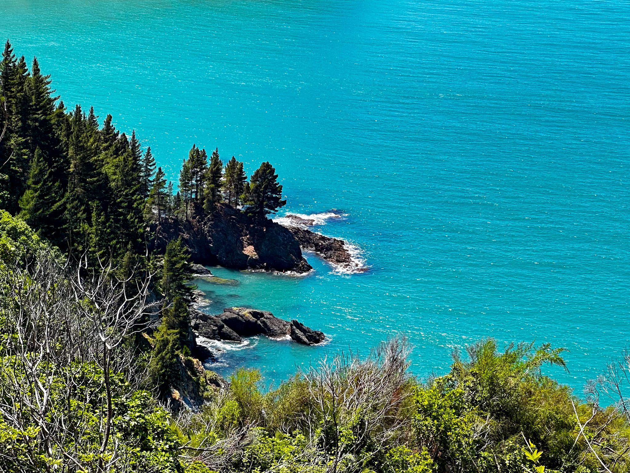
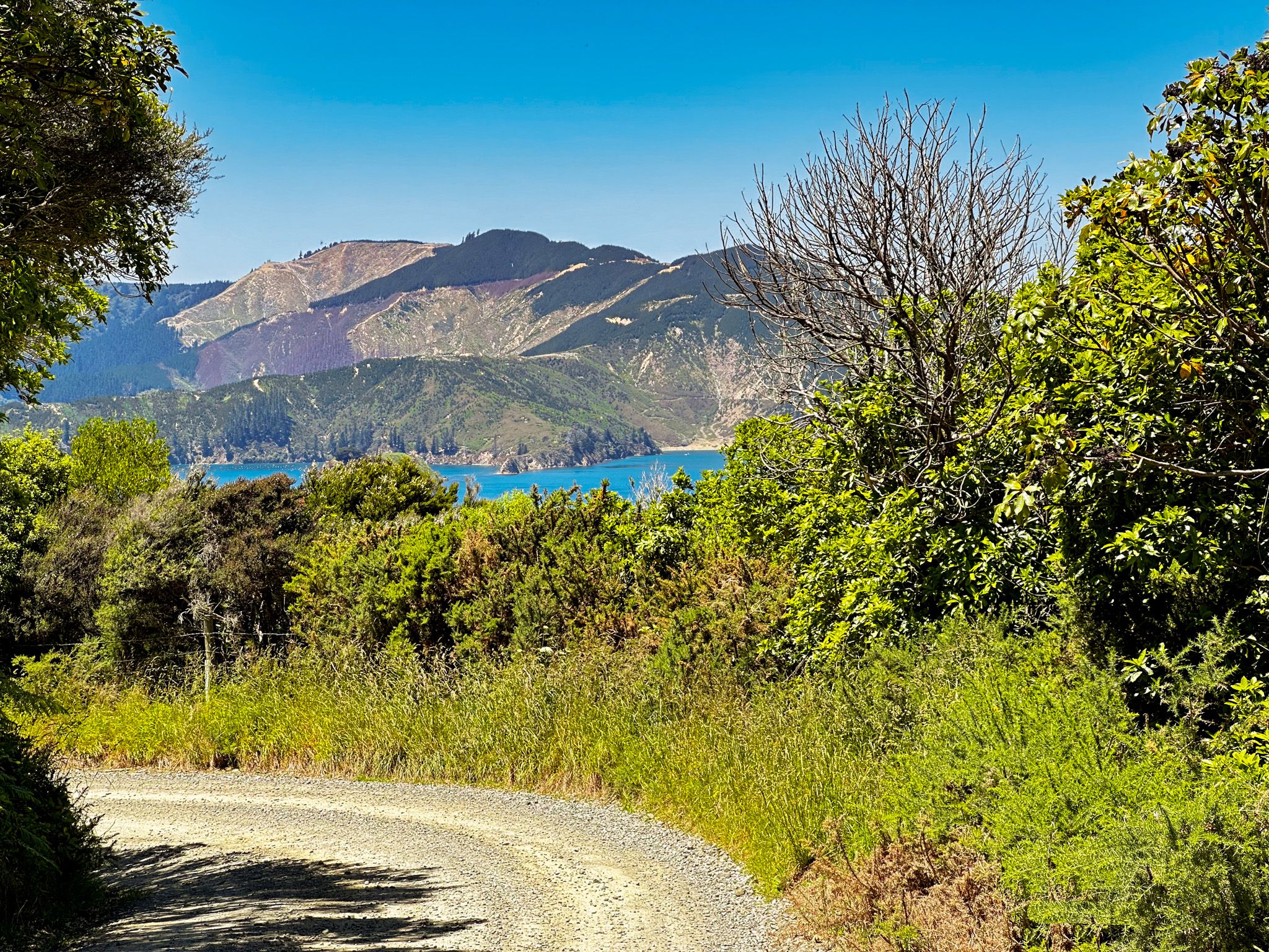
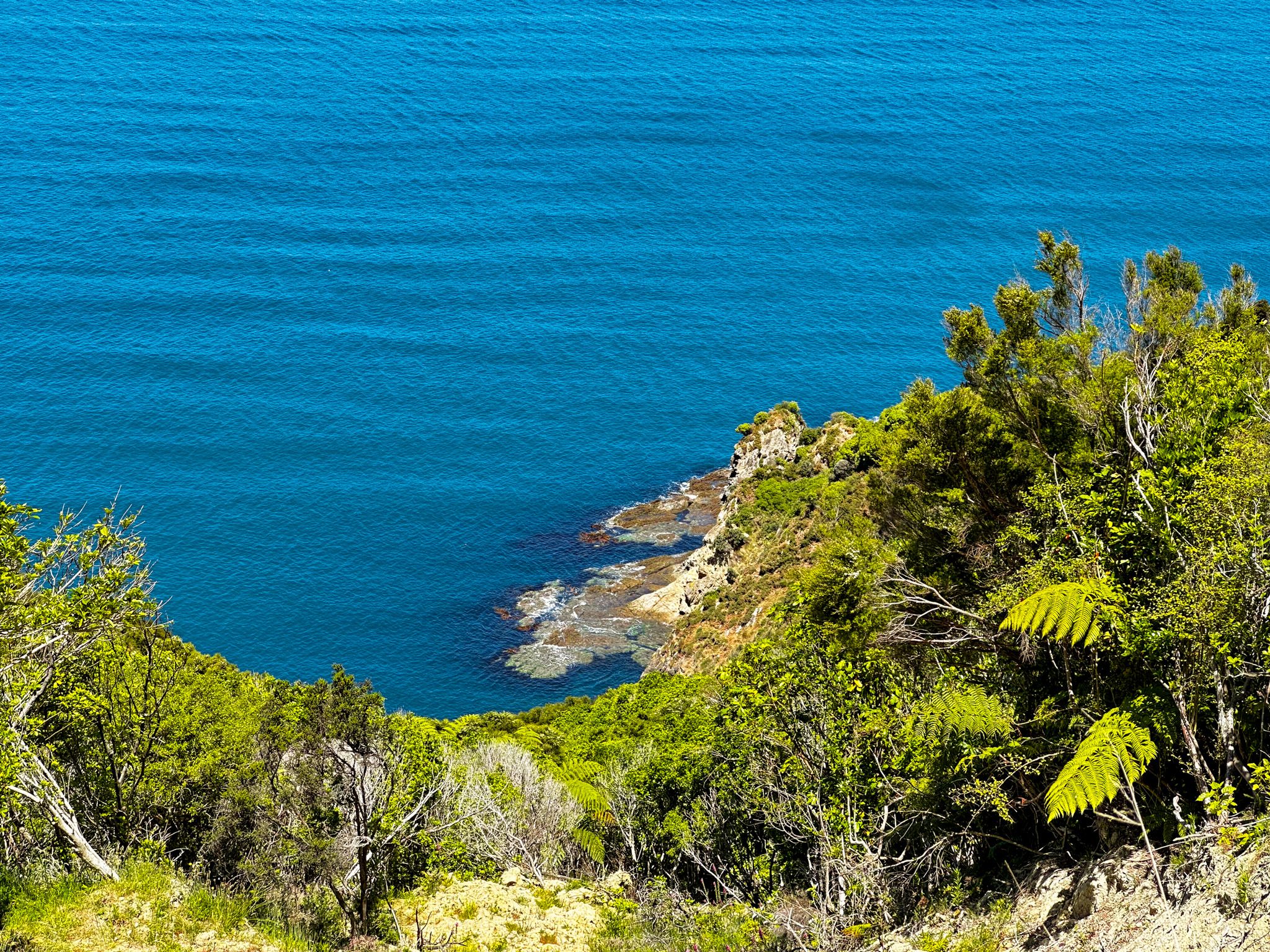
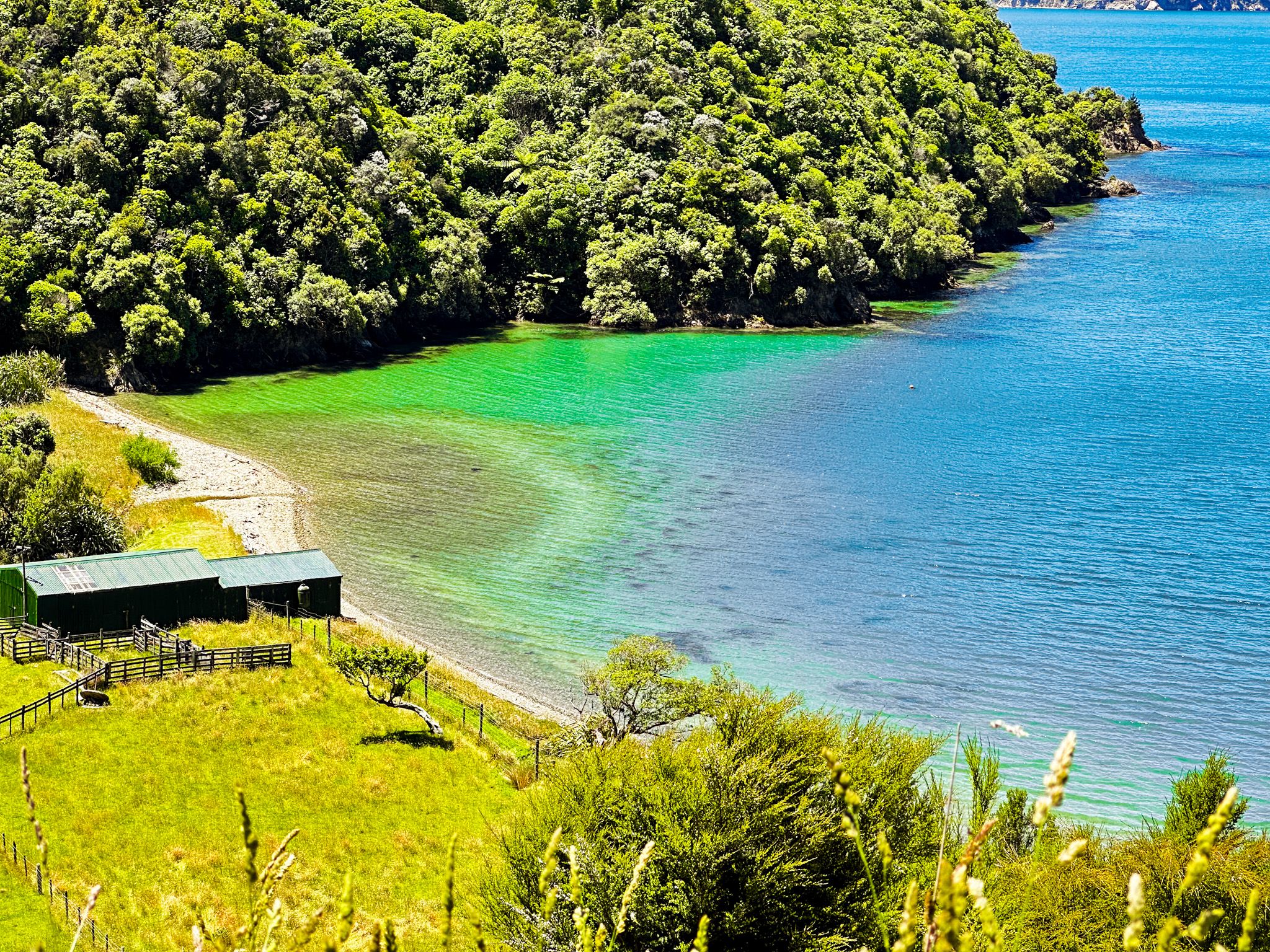
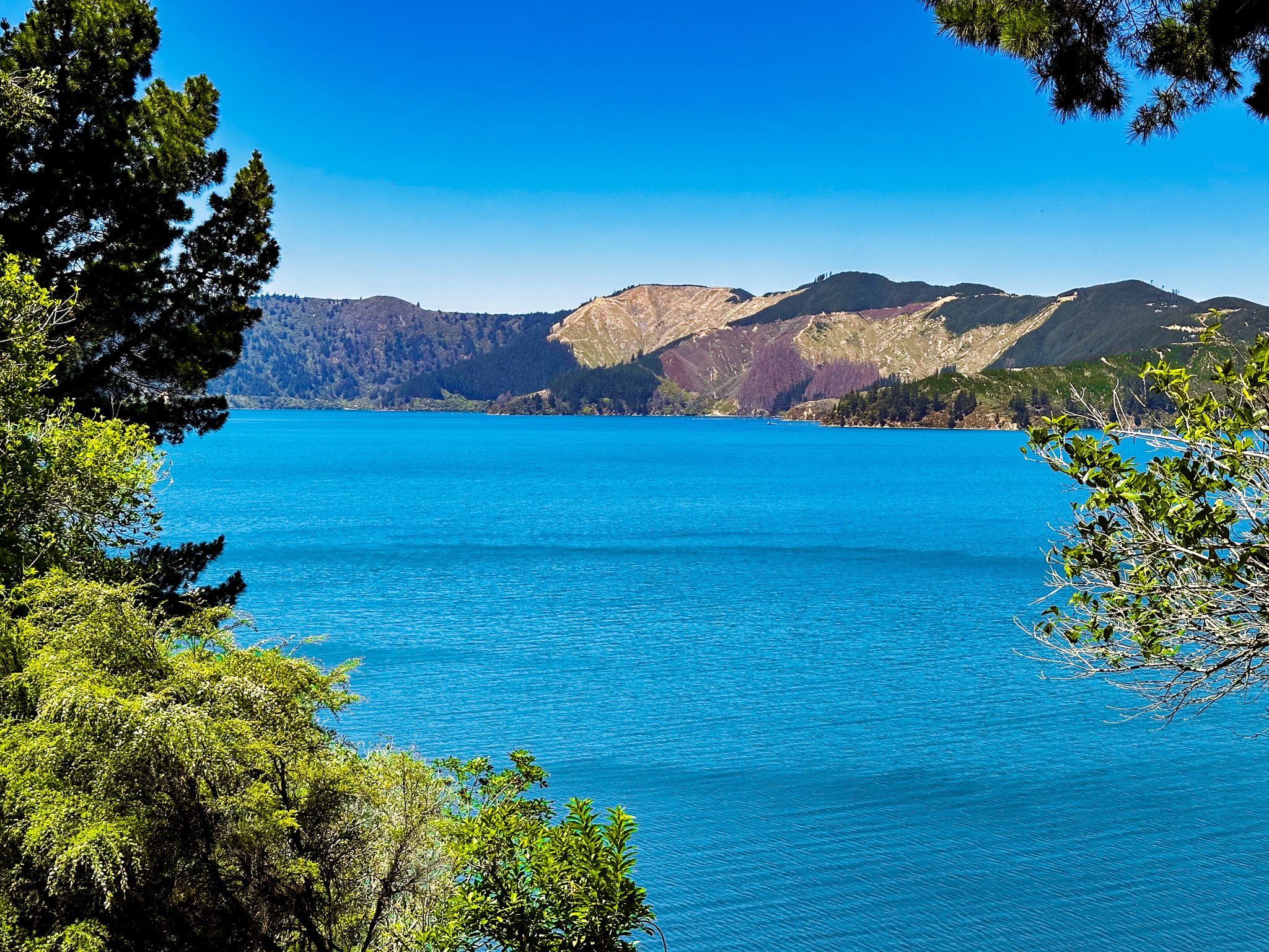
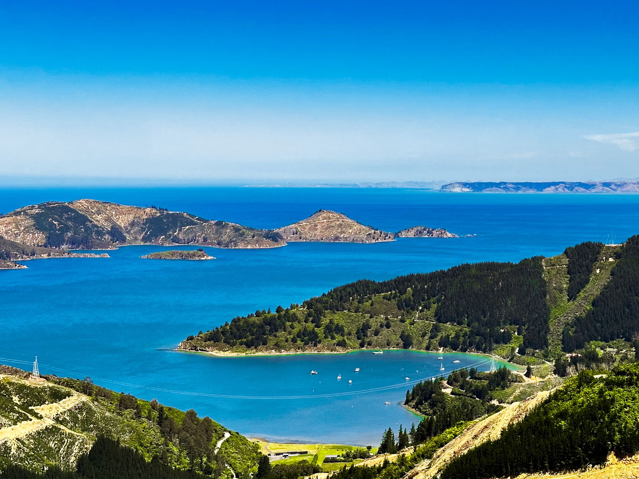
From Rarangi, the road quickly climbs to 300 metres above the coast, with a stunning view. Be patient; you will find somewhere safe to stop for the photo! It then drops down to the Pukatea / Whites Bay access road, the best of the beaches on this trip. From there, it winds north high above the coast of Cook Strait and Port Underwood, a large inlet off Cook Strait, with drops down to several small pretty bays. After 22 km, at Oyster Bay (the hamlet of Port Underwood on Google Maps), it heads west and climbs to a pass at 480 metres. The road winds along the ridge before dropping to Whatamango Bay, an inlet off Queen Charlotte Sound. From there, it follows the coast around Karaka Point to Waikawa Bay before ending in Picton.
The first part of the drive from Rarangi is shrouded in native forest. This lies on the steep side of 1036 metre Tokomaru / Mount Robertson and the associated Robertson Range, with some clear farmland in the larger bays. As you approach Port Underwood, the large-scale commercial exotic forest is a feature. This effect is observable on the north and east sides of Port Underwood and as you climb up to the pass above Oyster Bay. At Oyster Bay, you will also notice the commercial wharf and vessels supporting extensive mussel farming around the inlet. Although the road is generally quiet, take care as it is used by commercial vehicles, including logging trucks.
The road is sealed from Rarangi to Whites Bay, then mostly unsealed to Oyster Bay. From there to Picton, it is sealed. The metal section is the trickiest, very windy and sometimes narrow. Although the road is about 55 km long, it takes almost 2 hours to drive. Stops for a walk, picnic and swim turn it into a day trip.
If you have time, you can also drive an extra 40 km return on windy metal Tumbledown Bay Road to the eastern and more commercially affected side of Port Underwood. However, several more pretty, isolated bays and beaches are along the way.