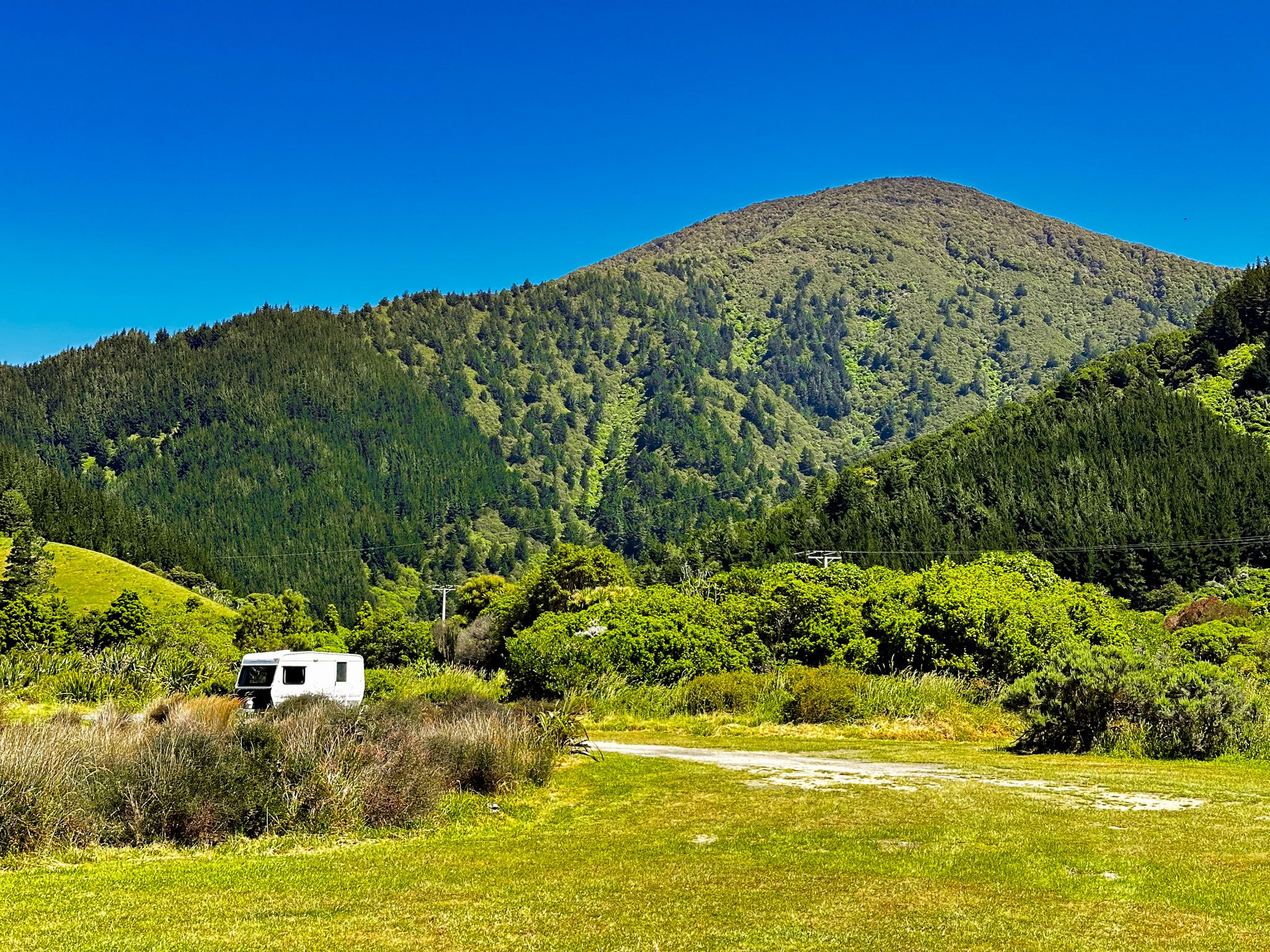
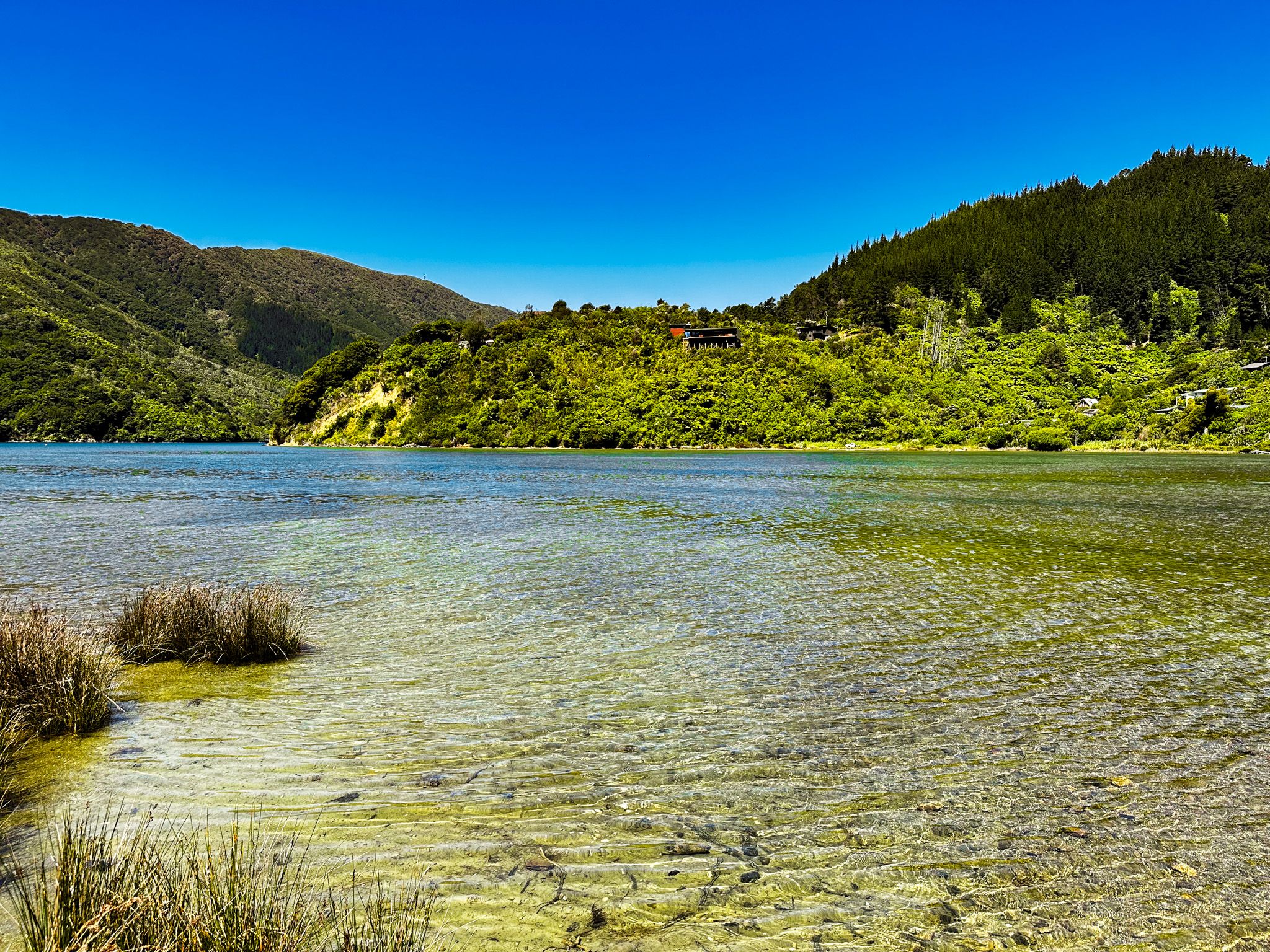
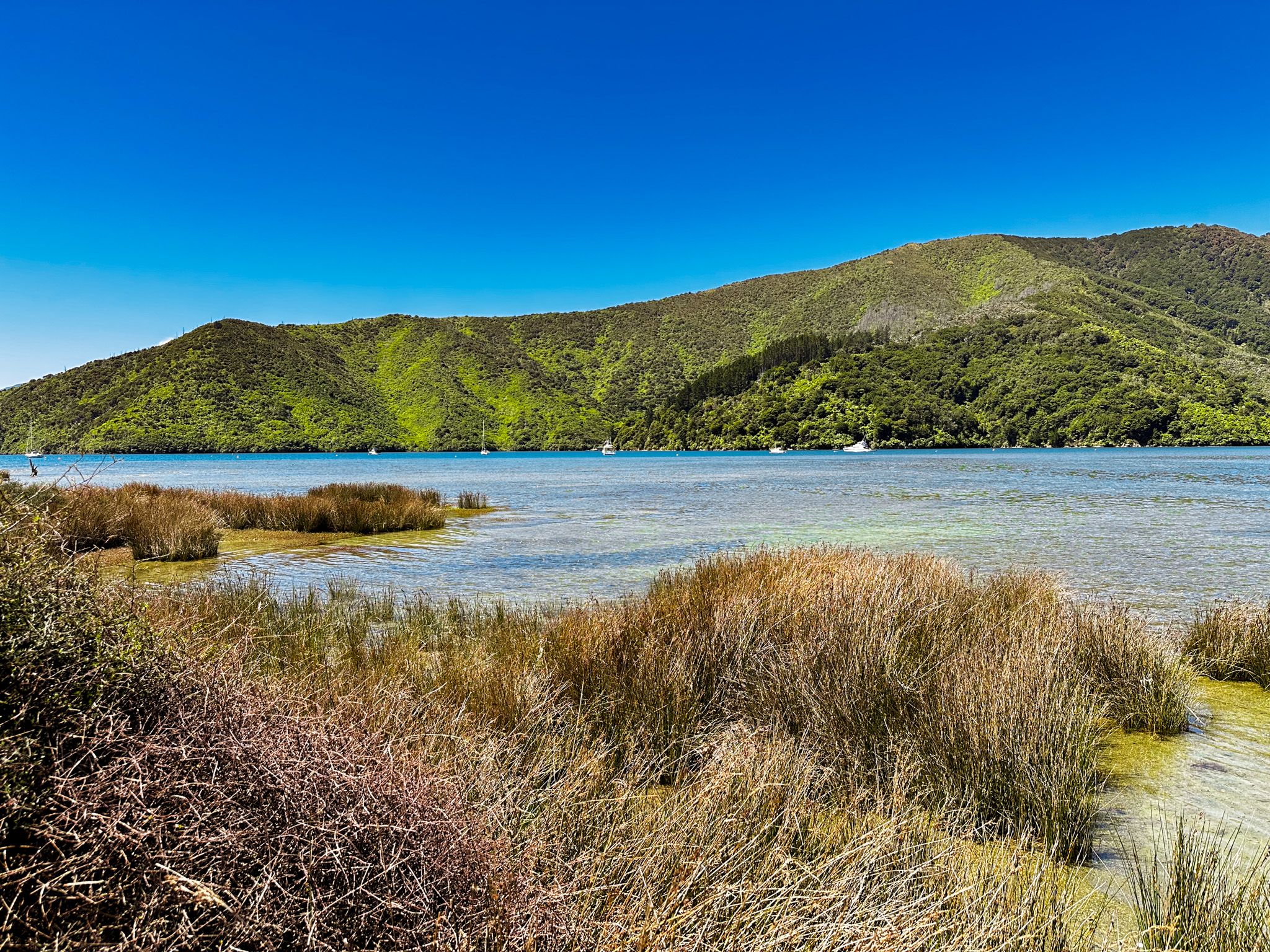
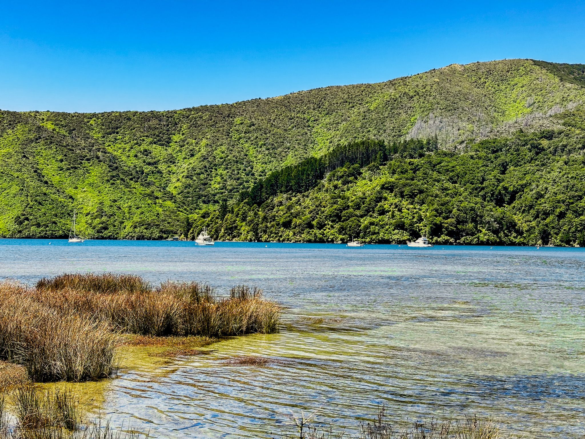
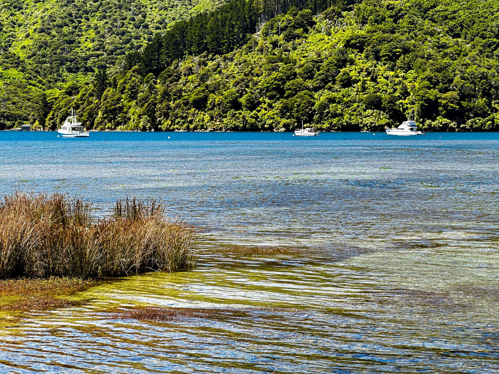
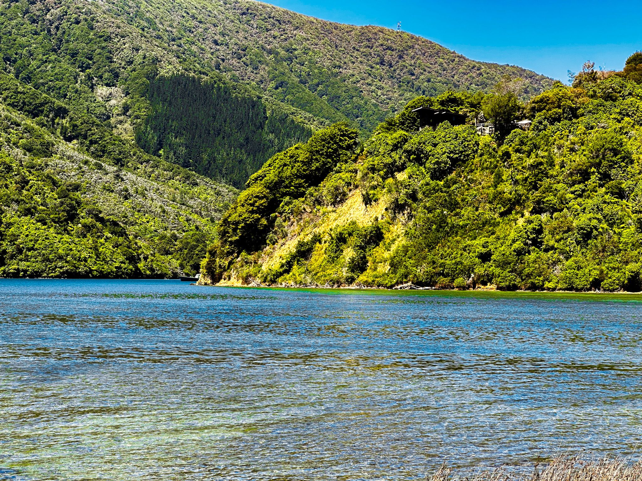
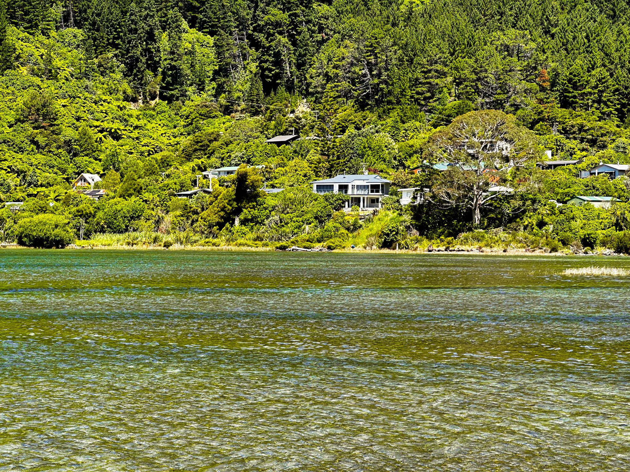
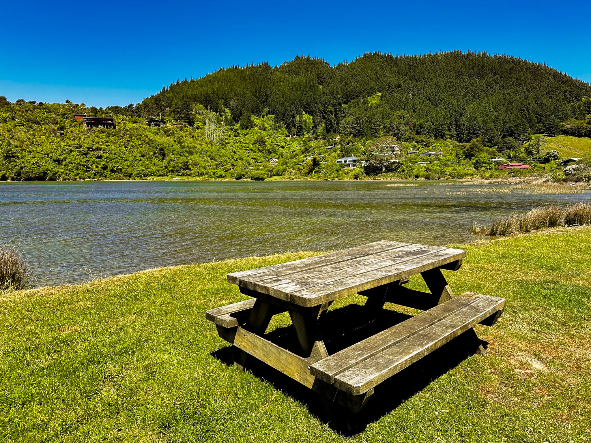
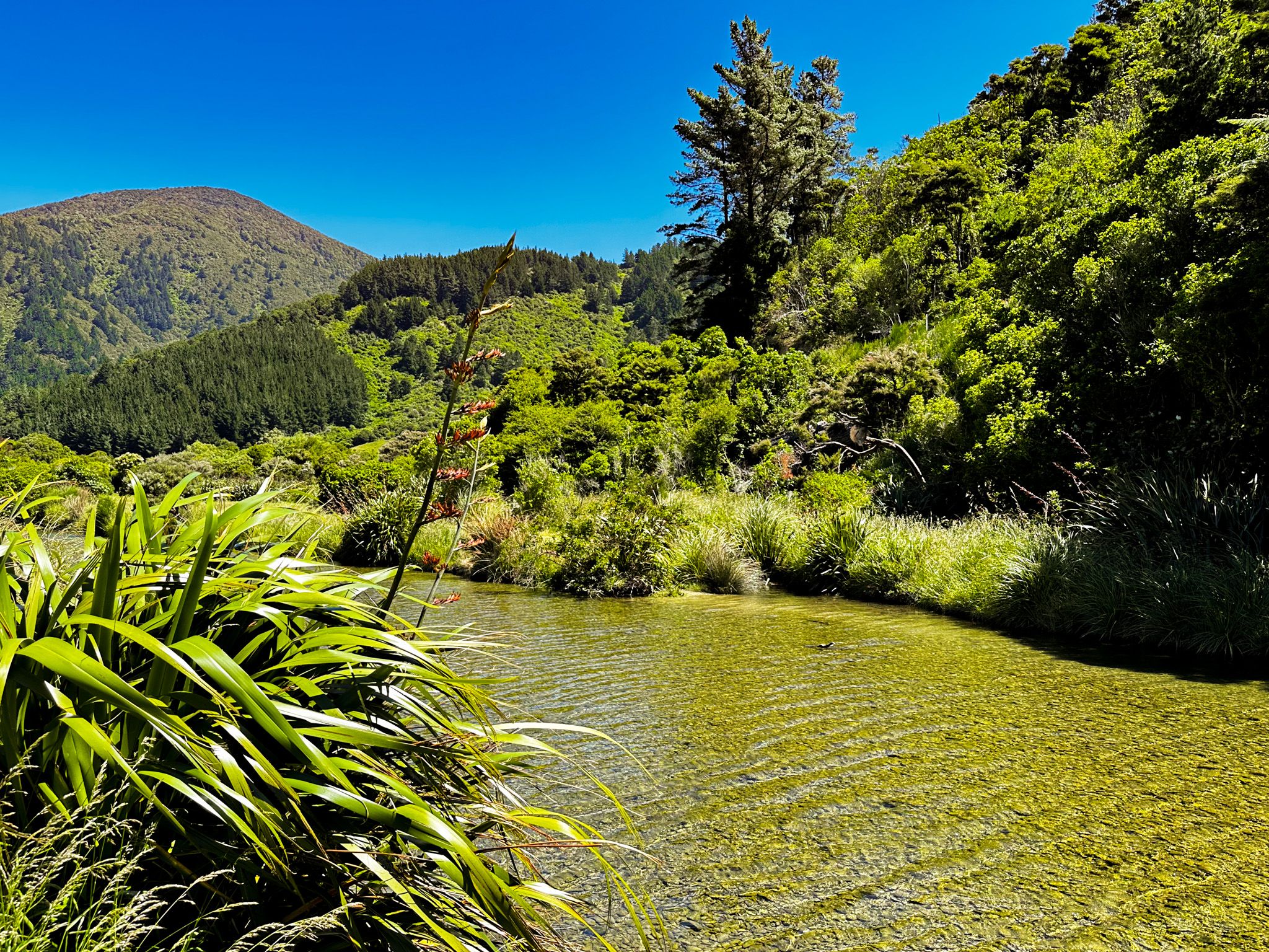
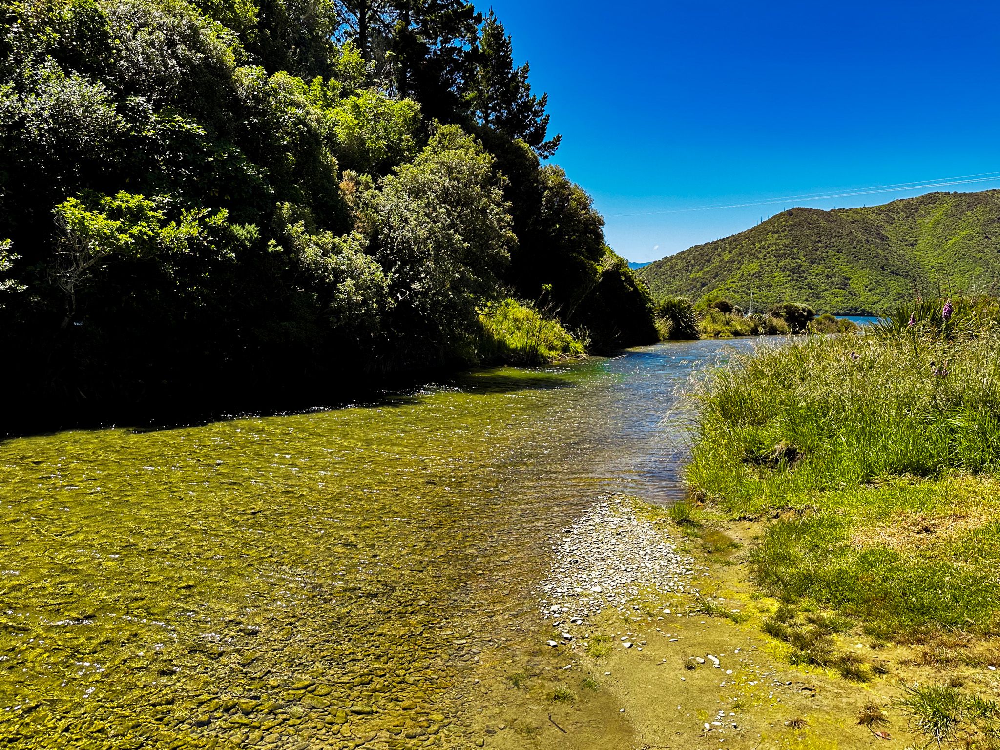
Whatamango Bay is 11 km from Picton on a sealed section of Port Underwood Road. The bay connects to Queen Charlotte Sound and is surrounded by high hills with a mix of native forest and exotic pines. There is a large DOC campsite at the front of the bay, but the beach is limited, with the tide line right up to the grassed reserve. There are a number of houses and bachs at the east end of the bay. To the south is 965 metre-high Mount McCormick, named for an early European settler in the bay in the mid-1800s. The Graham River runs through the west end of the bay, adding an extra feature.
Pre-Europeans, the bay was rich in kaimoana (seafood) and is named for a raised storehouse for drying shark meat. Māori also collected shark oil for preserving wood carvings. The bay was a waypoint for a Māori track linking Queen Charlotte Sound to Port Underwood, which was even used for waka portage. This track rises as high as 400 metres and was the route for Port Underwood Road when it was pushed through to Oyster Bay.