Oyster Bay, confusingly also known as Port Underwood, is the most northerly point for Port Underwood Road within Port Underwood, the inlet. It is 30 km from Rarangi, on a mostly unsealed road or 22 km from Picton, on a sealed road.
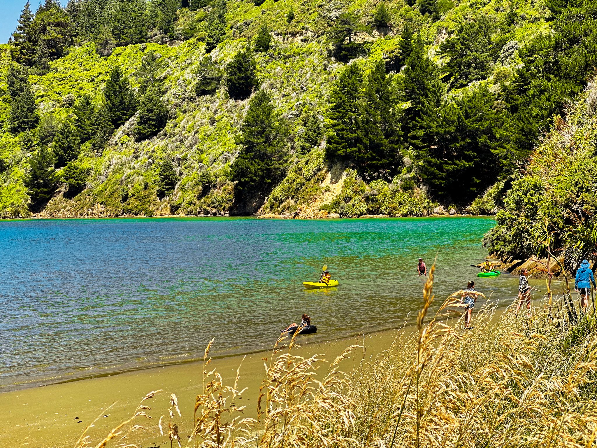
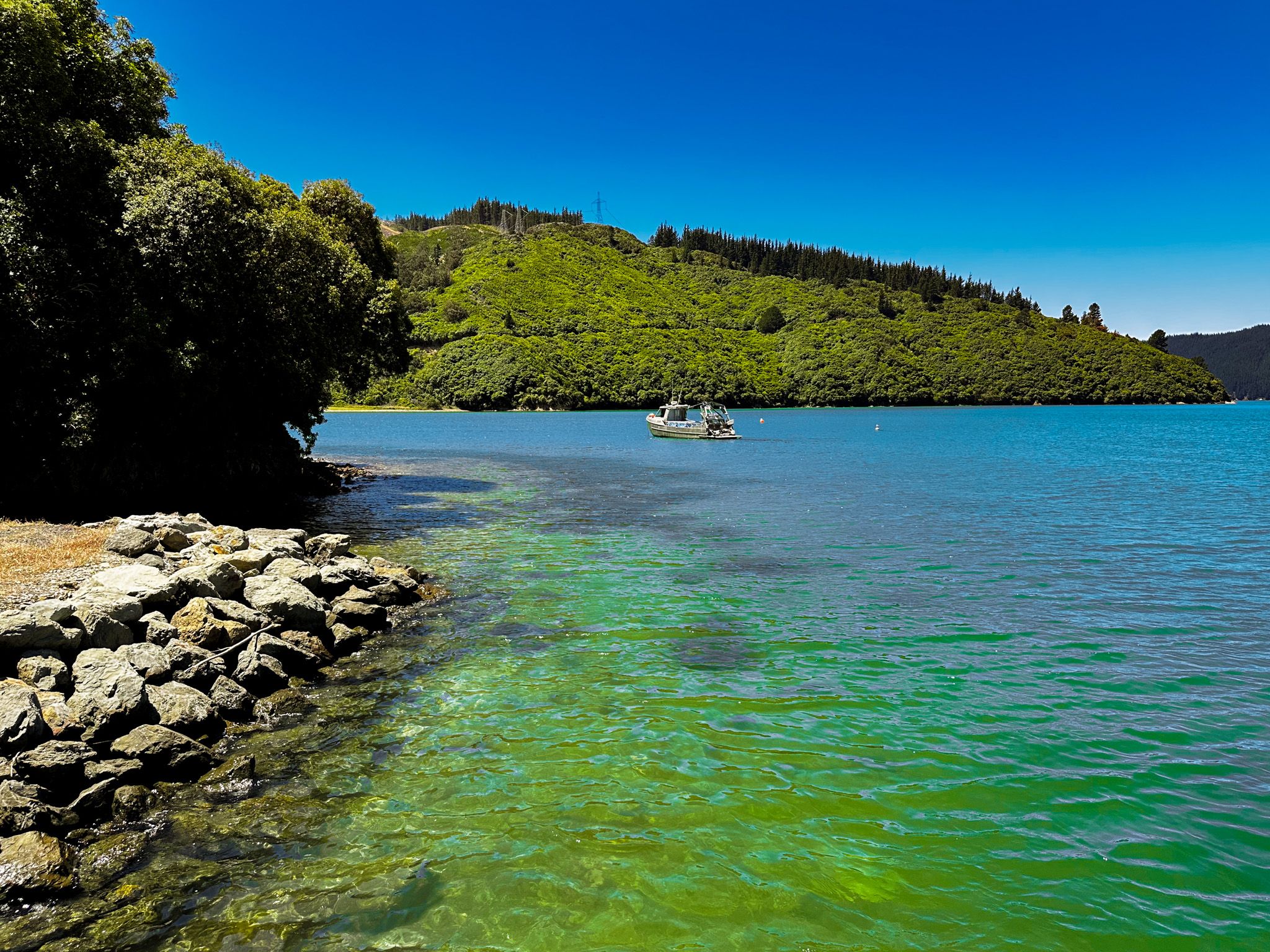
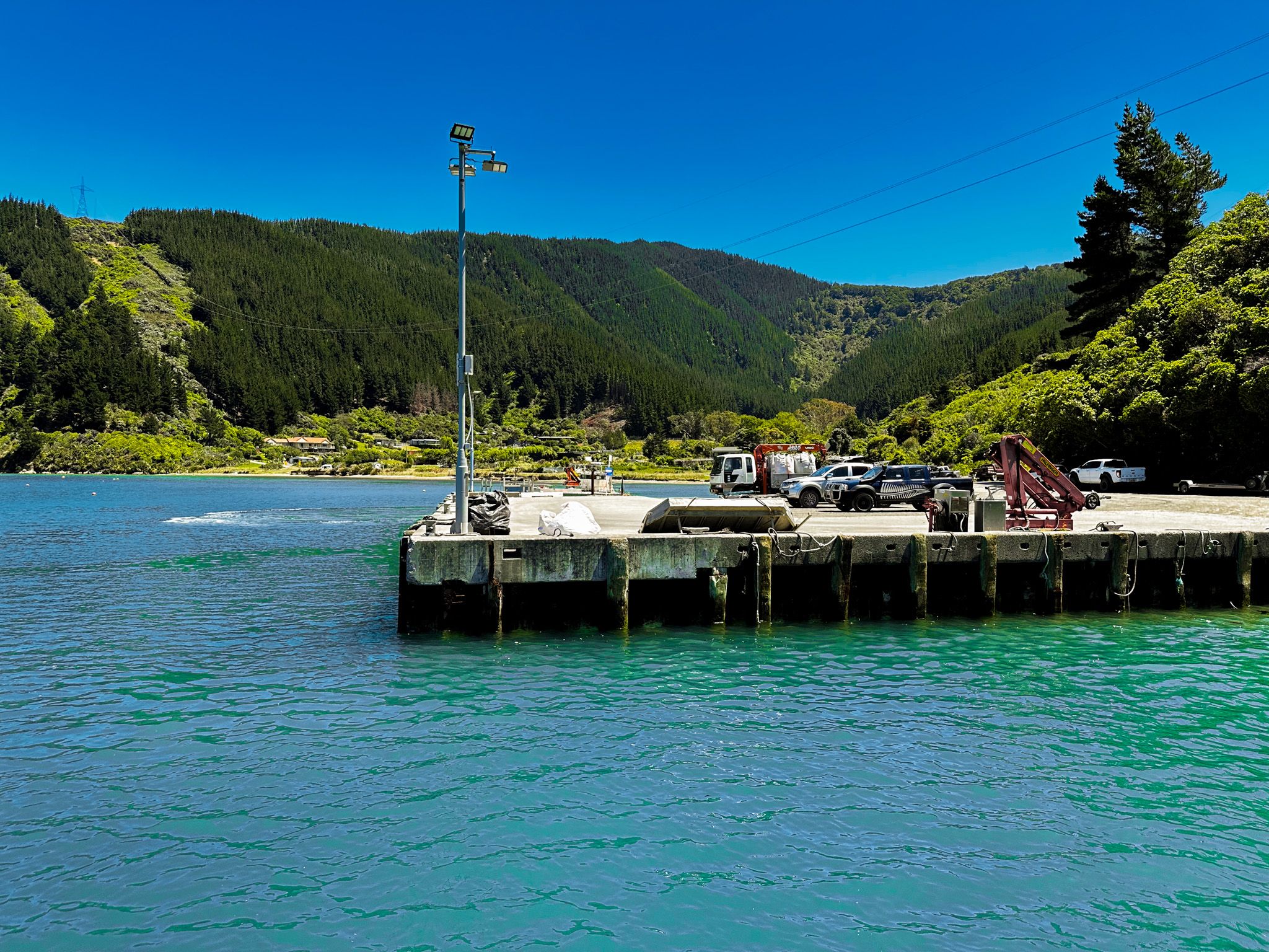
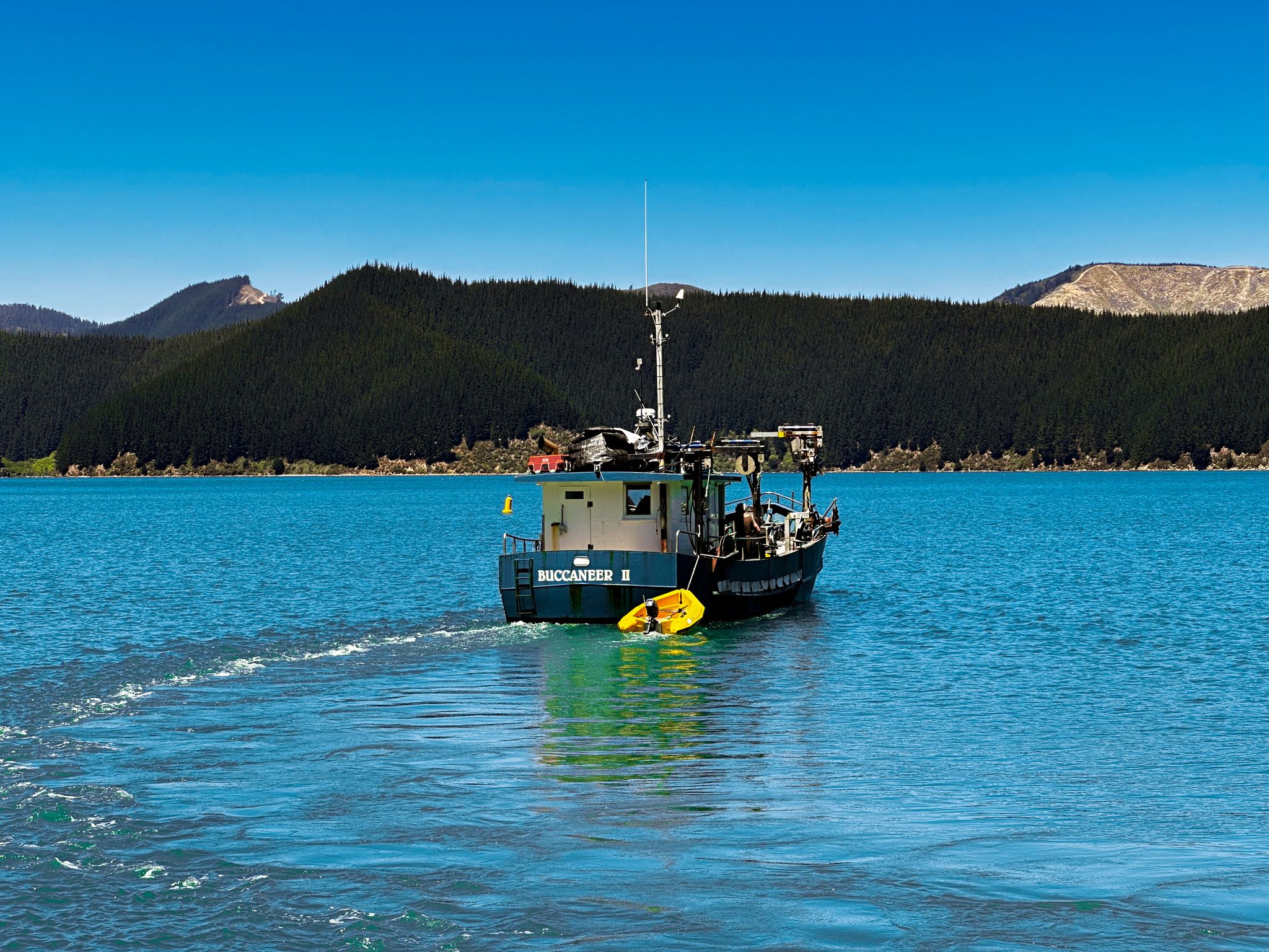
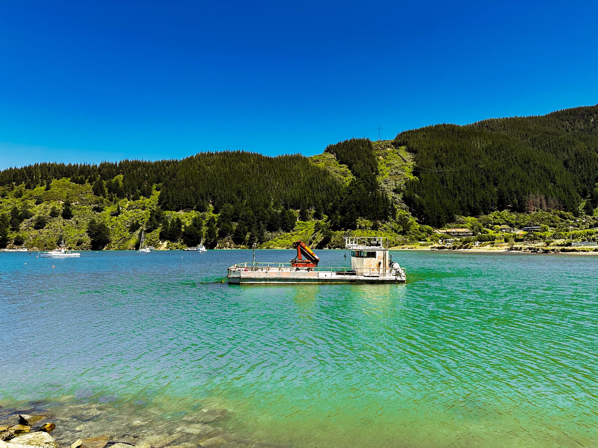
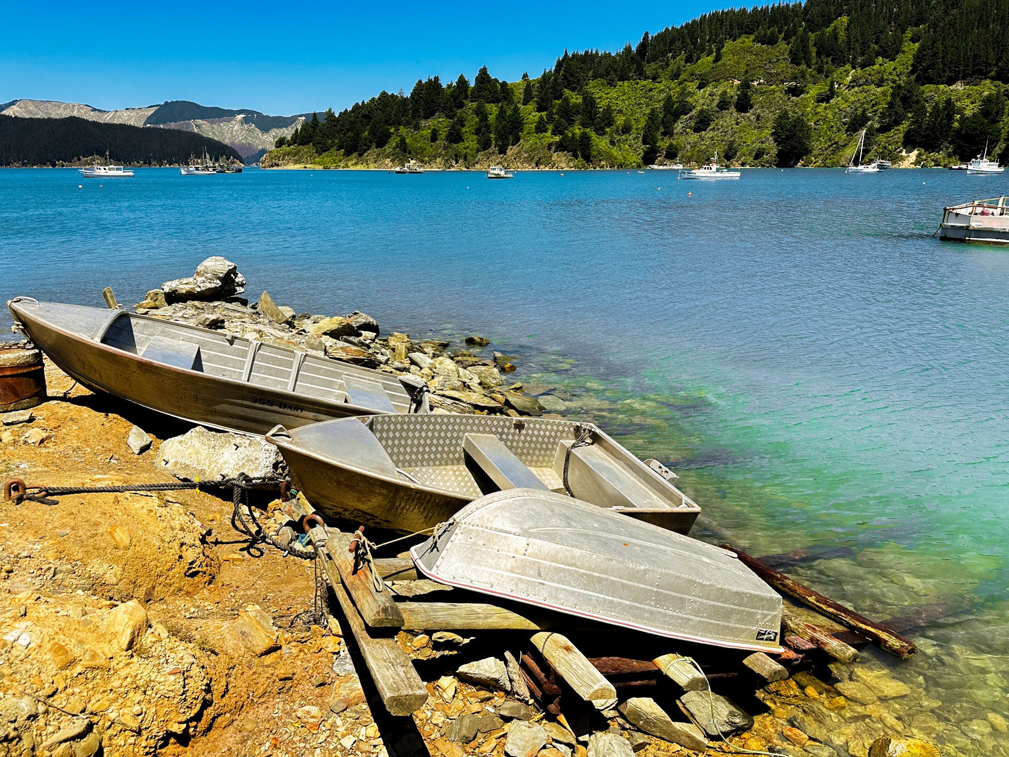
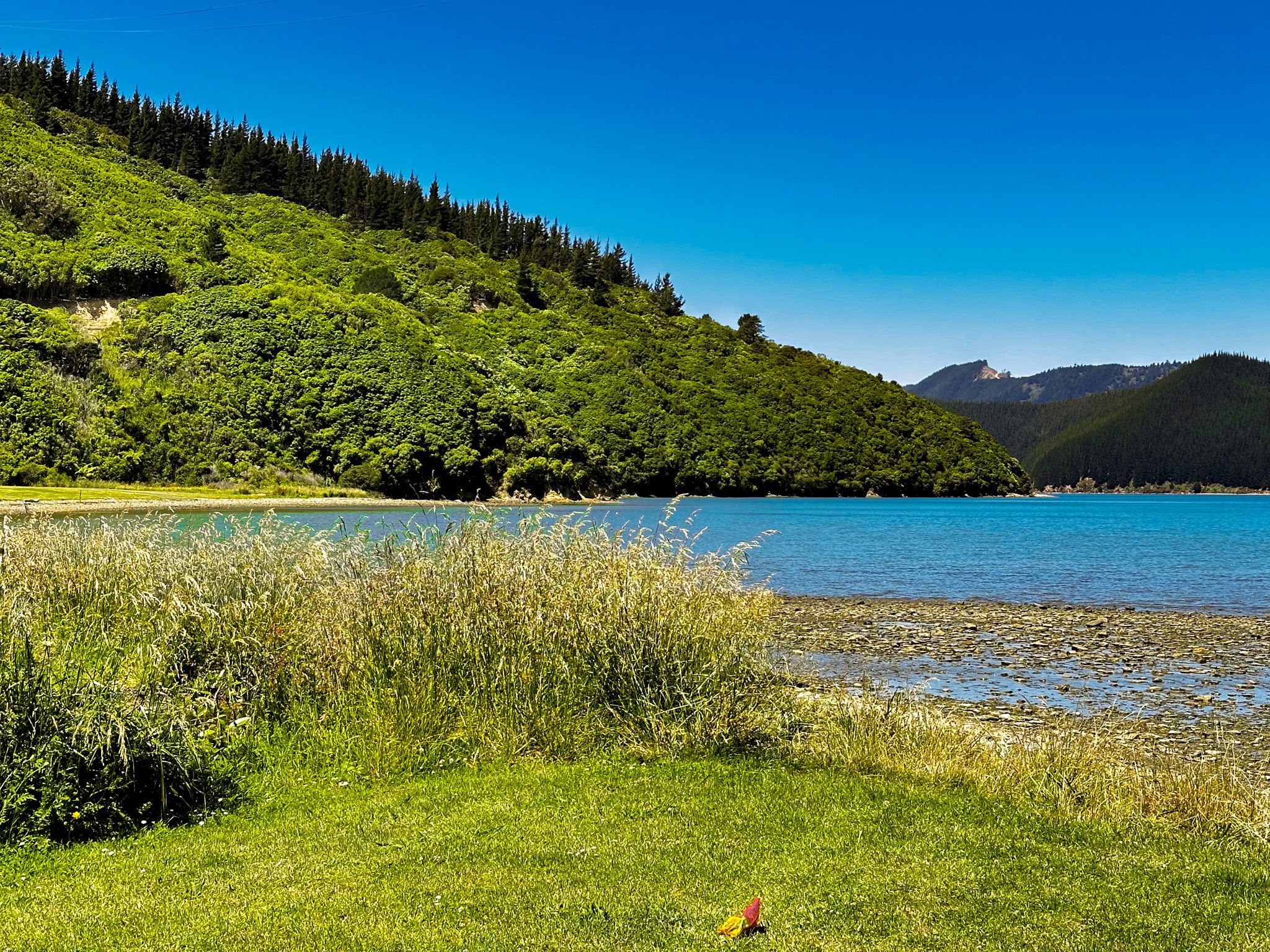
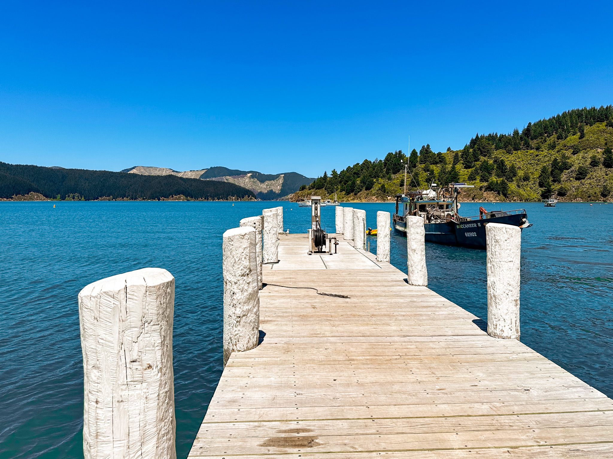
The south end of the 400 metre-wide bay has recreational access with a sandy beach while the north end is occupied by a commercial wharf that supports the marine farms and other commercial activities around the inlet. On the north side of the wharf is smaller Hakahaka Bay. Both bays have a number of houses, making them the closest thing to a hamlet in Port Underwood.
Māori knew the area as Te Toi, and the European name Oyster Bay is a direct translation. It reflected the enormous supply of oysters within the bay, long greatly diminished. The name of Hakahaka Bay is more obscure. It was supposedly the name of a local chief but also means “flat” in Māori, and it certainly is flat.
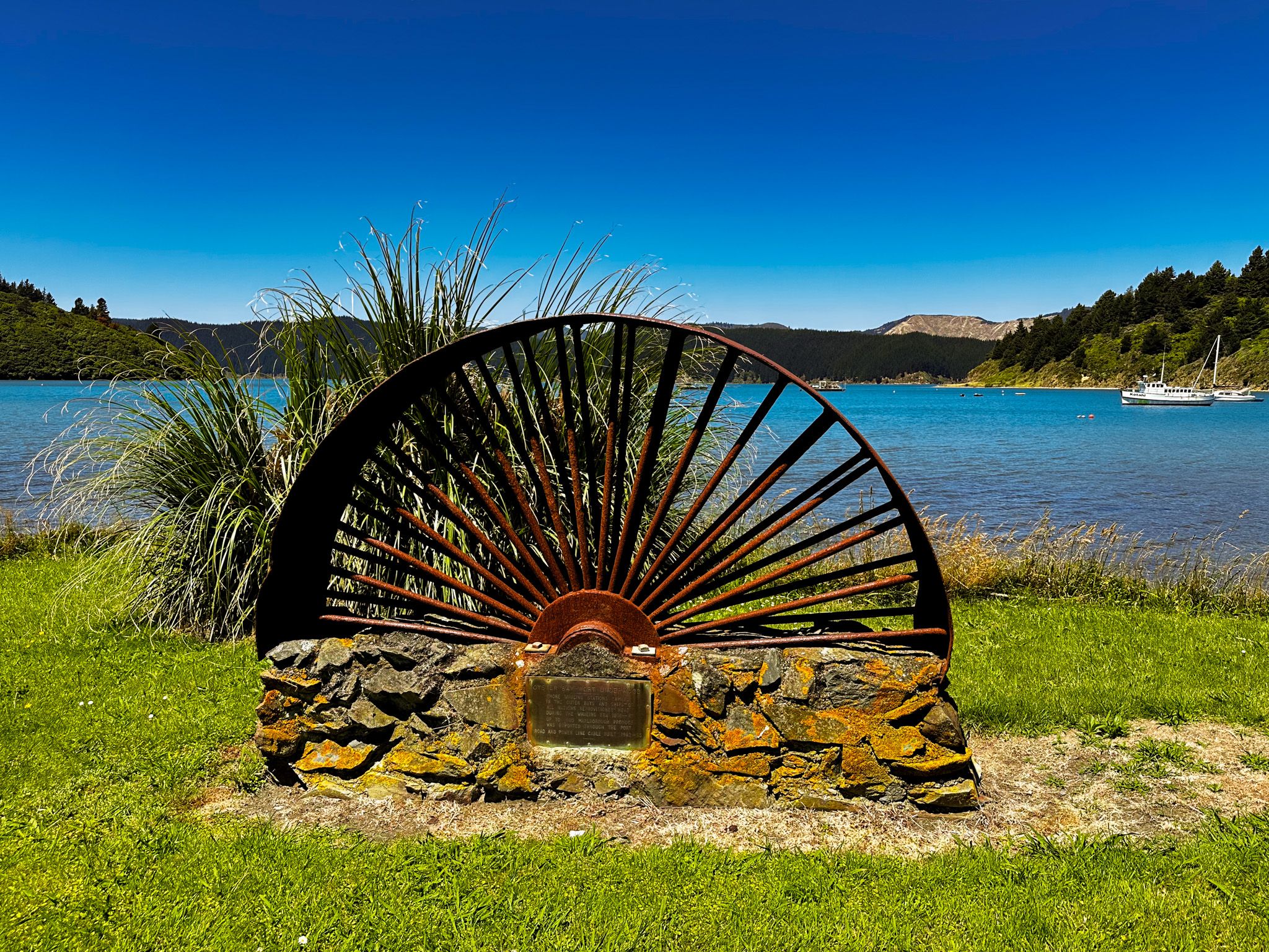
In the 1820s, Te Rauparaha conquered the area, which led to an influx of European sealers and whalers, and the two remote bays became important sites for provisioning the whalers. Once the whaling stopped, they returned to being remote and inaccessible bays. This changed in the 1960s after Port Underwood Road connected the bays with Picton via Whatamango Bay. Electrical connection was also pushed through, and for a while, the bay supported workers on this project. The road and access to power, in turn, drove commercial activity based on forestry and marine farming.