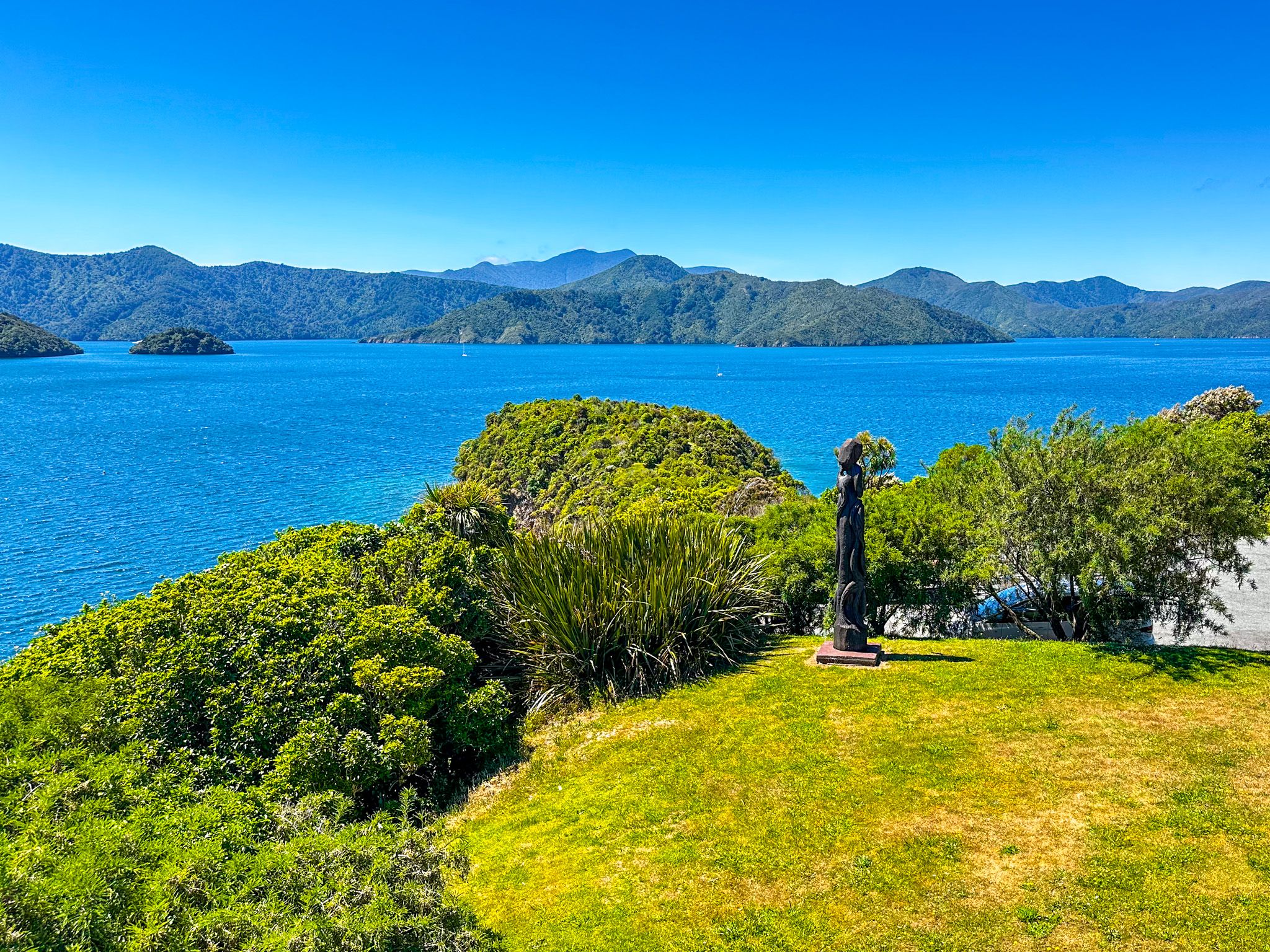
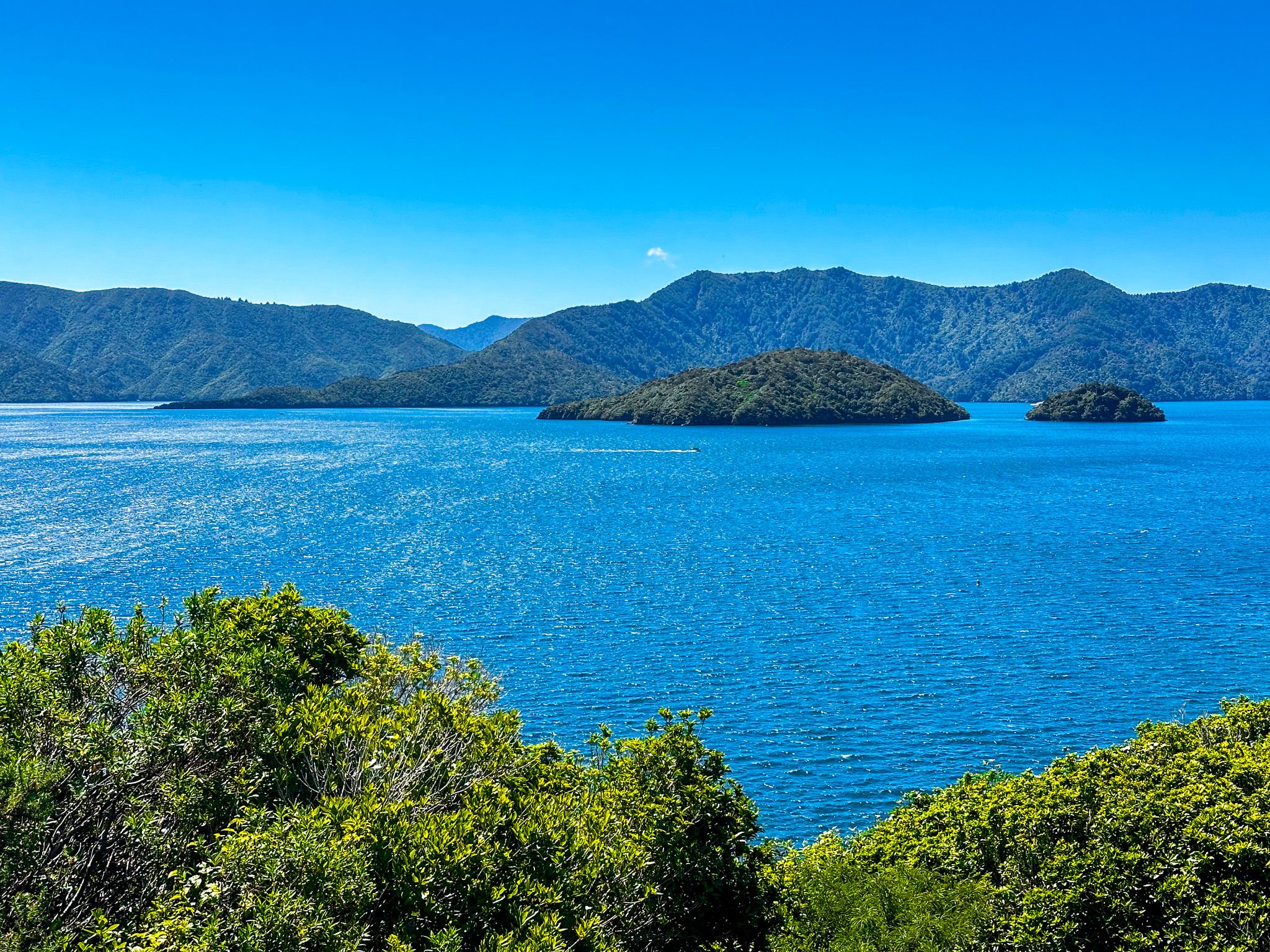
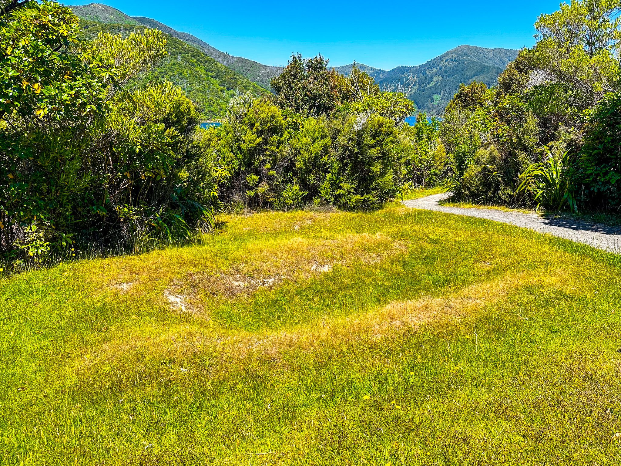
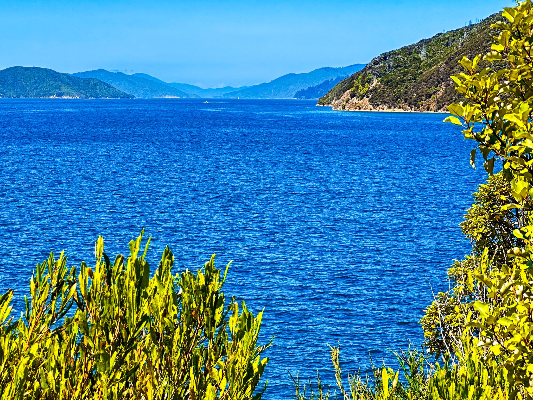
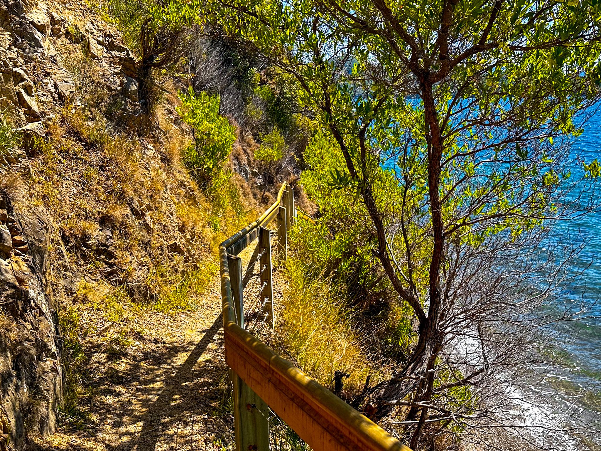
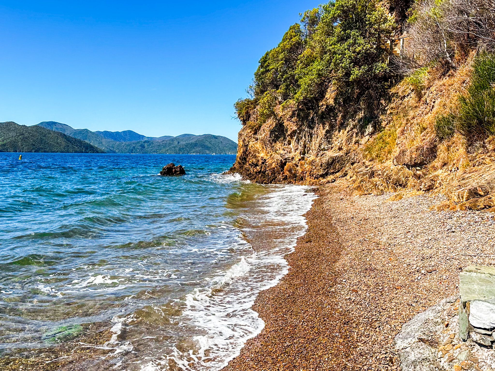
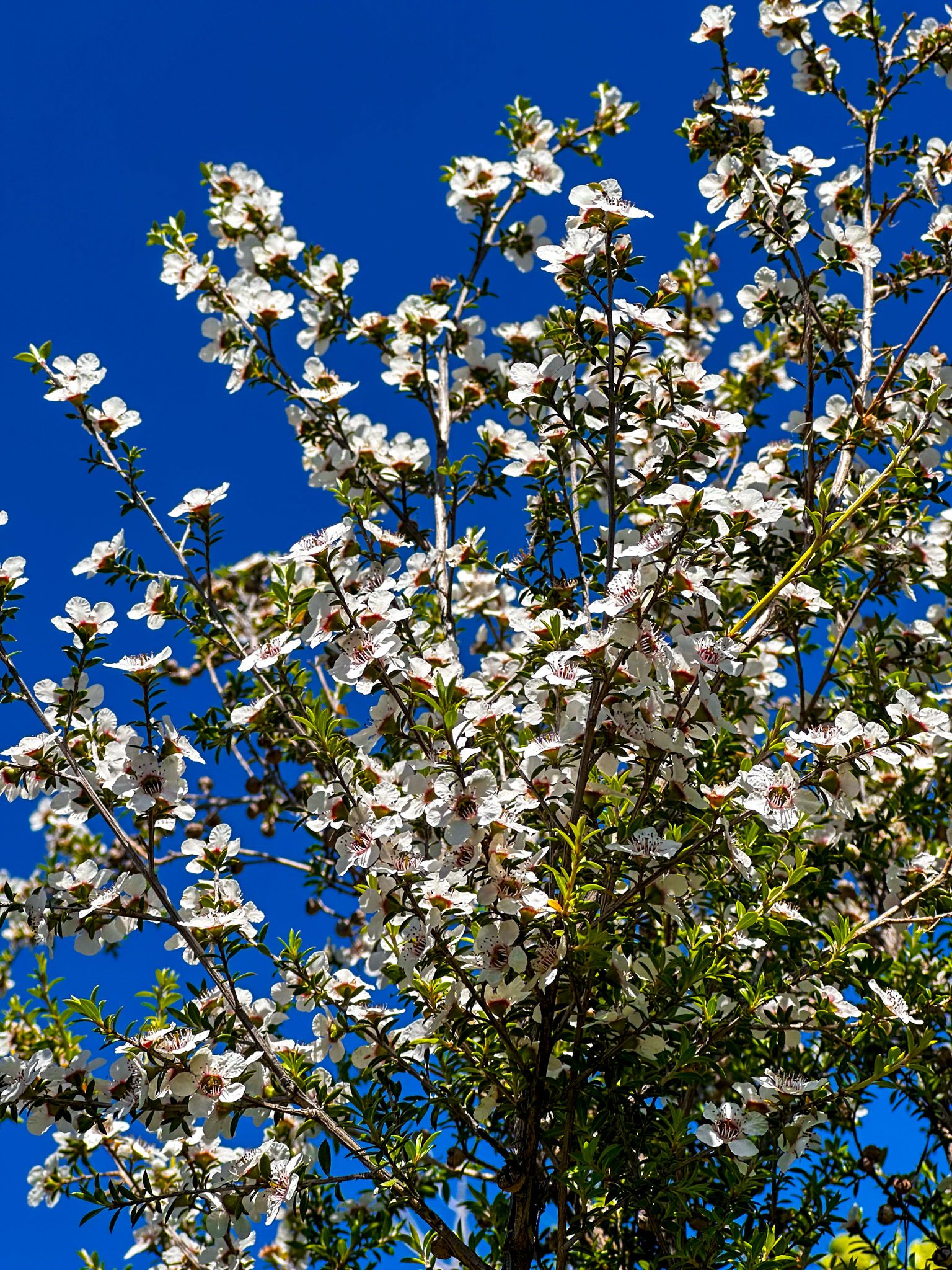
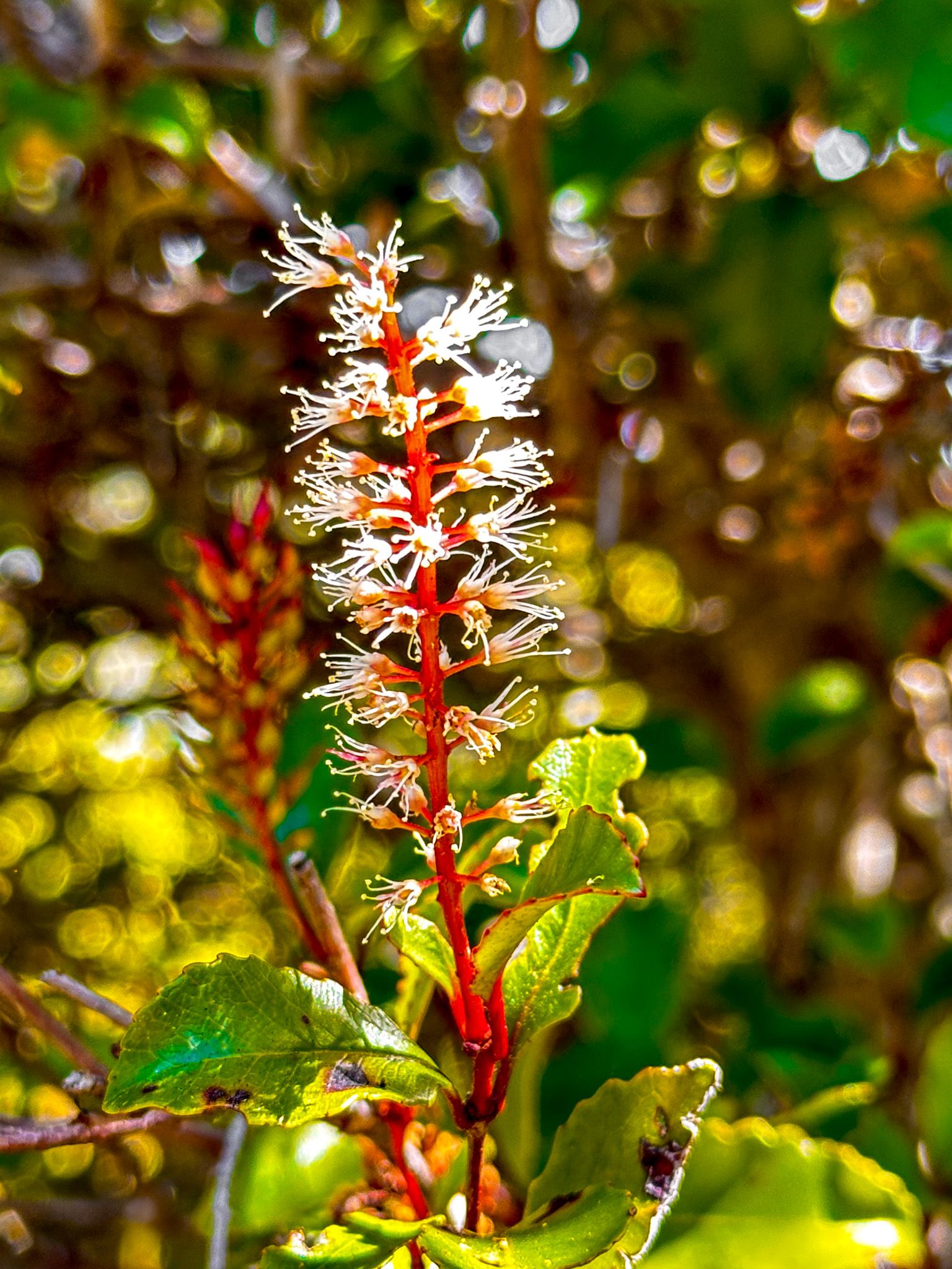
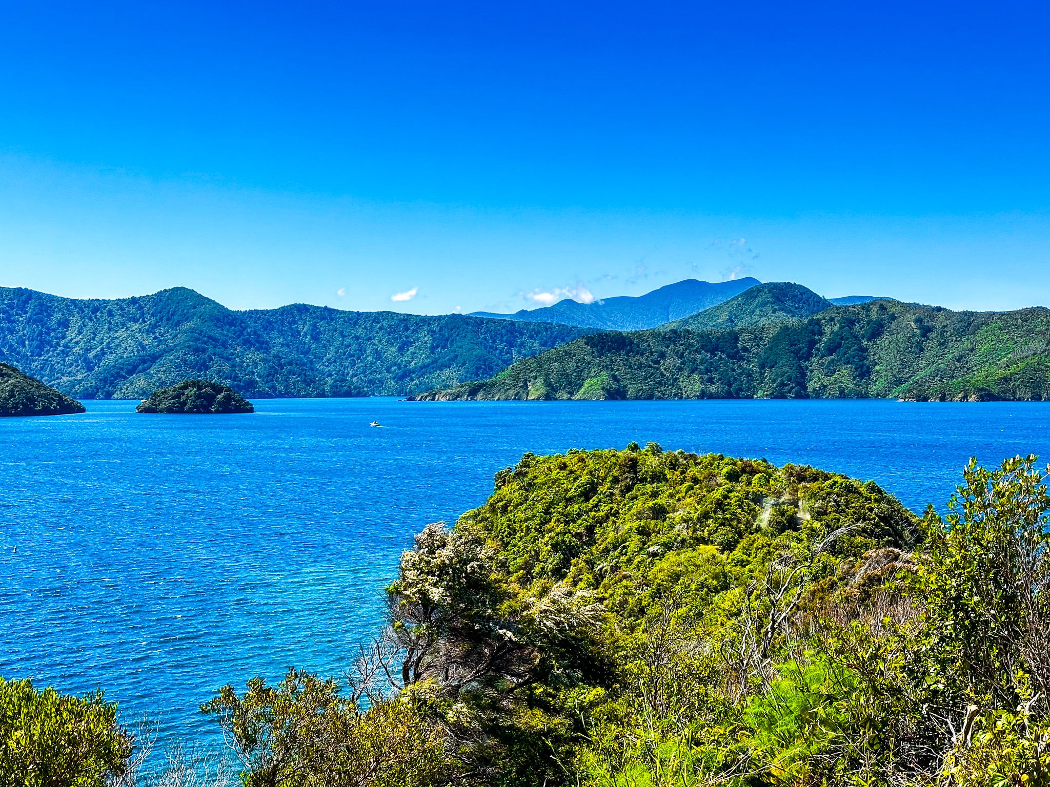
Karaka Point Reserve is a wonderful short walk. The point is a high, cliff-bound, narrow finger of land between Whatamango Bay and Waikawa Bay, pointing into Queen Charlotte Sound / Tōtaranui. It combines a historic Māori pā site, Te Rea o Karaka pā, with a walk through an eclectic mix of replanted native bush, amazing views over Queen Charlotte Sound and a cliffside staircase down to a pretty beach. The reserve is signposted on Port Underwood Road, with plenty of car parks. Rangitāne iwi erected the pou at the entrance, which tells the story of Kupe's battle with the giant wheke (octopus).
The pā dates back to the 1500s and was built by early Ngāti Mamoe. It was an attractive location as it commanded access to the marine food resources in Whatamango and Waikawa Bays. Various iwi are believed to have occupied the pā until the invasion of Marlborough by Te Rauparaha in the 1820s. In 1829, his forces had reached Queen Charlotte Sound / Tōtaranui and members of local iwi, mainly Rangitāne, retreated to the pā, believing it to be impregnable. This turned out to be wrong, and it was captured with substantial loss of life. The battle was forgotten, and the location was deserted and then farmed.
In the 1950s, Karaka Point was gifted to NZ, and the reserve was established. Subsequent native planting, information boards and the pou provide an accessible experience.