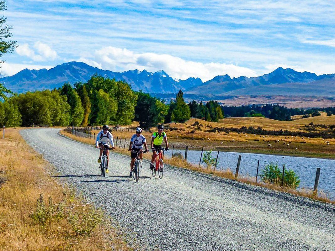

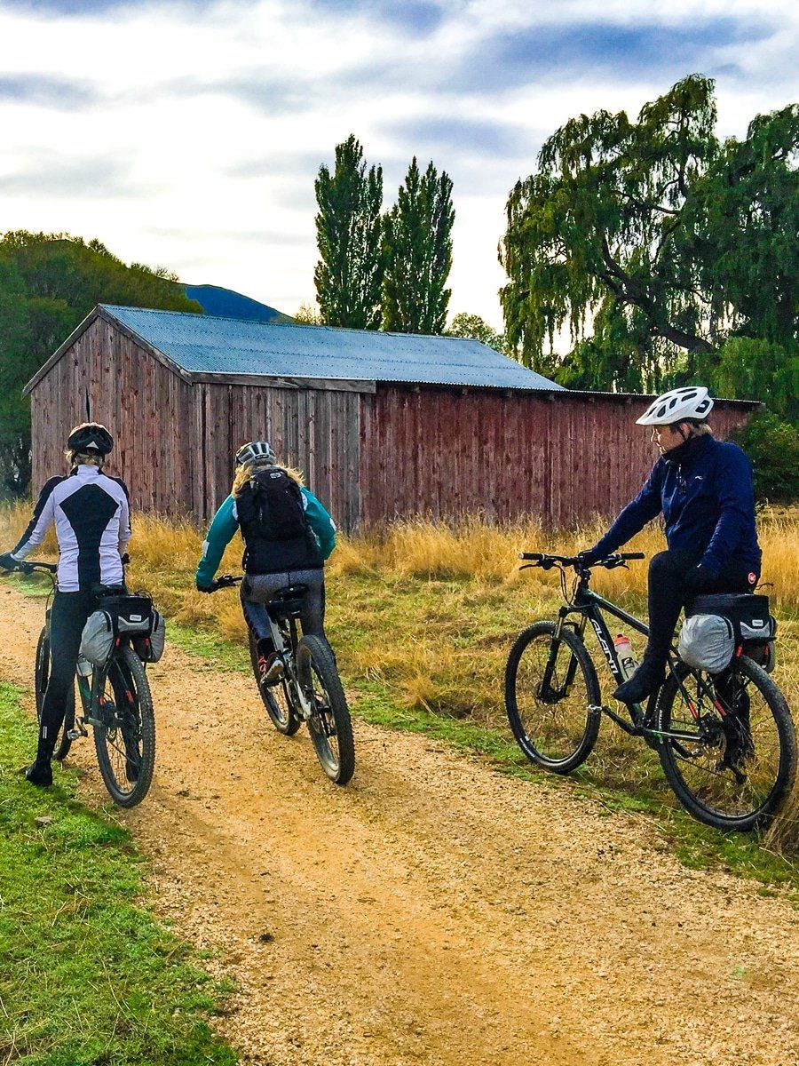
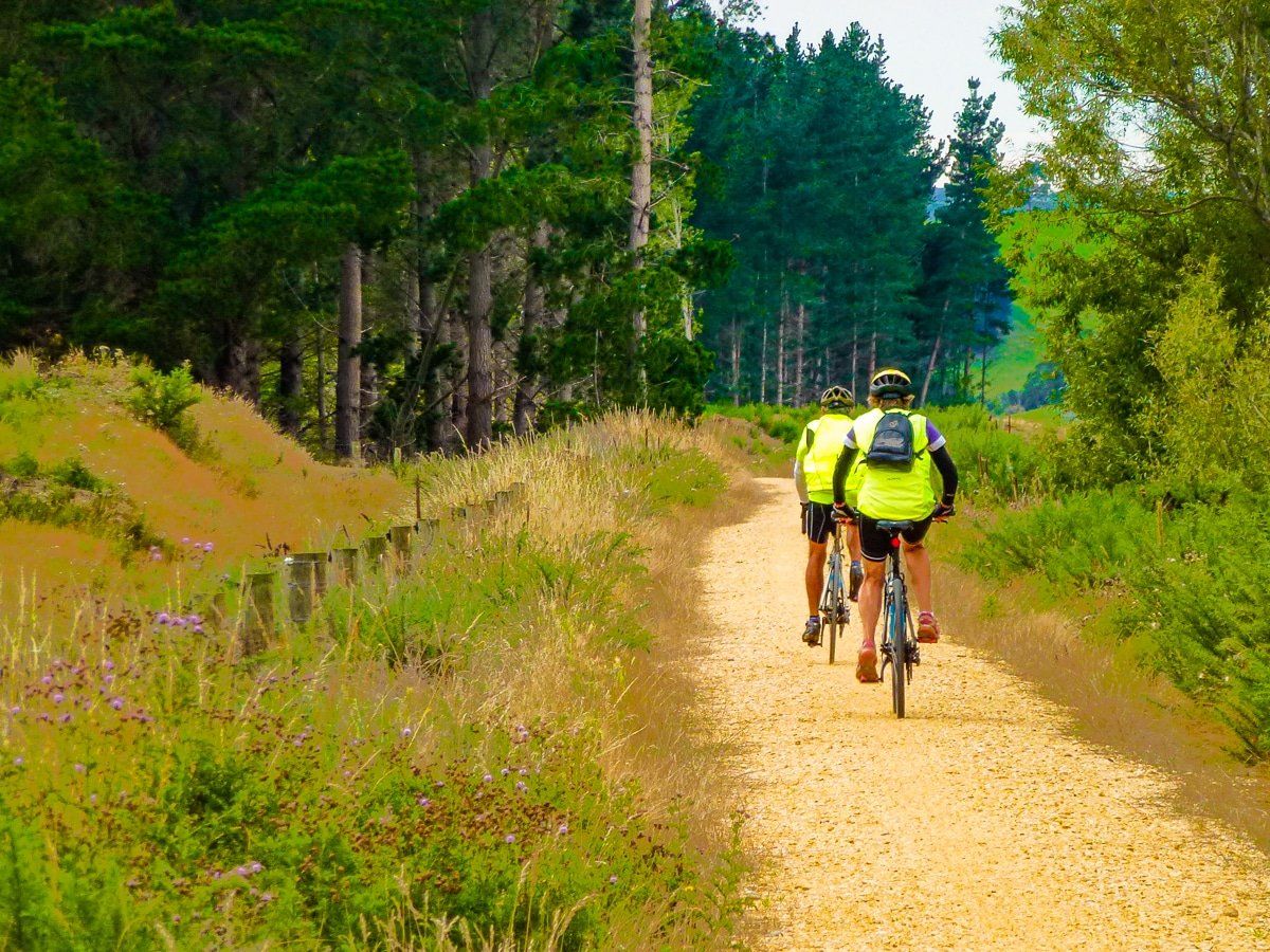
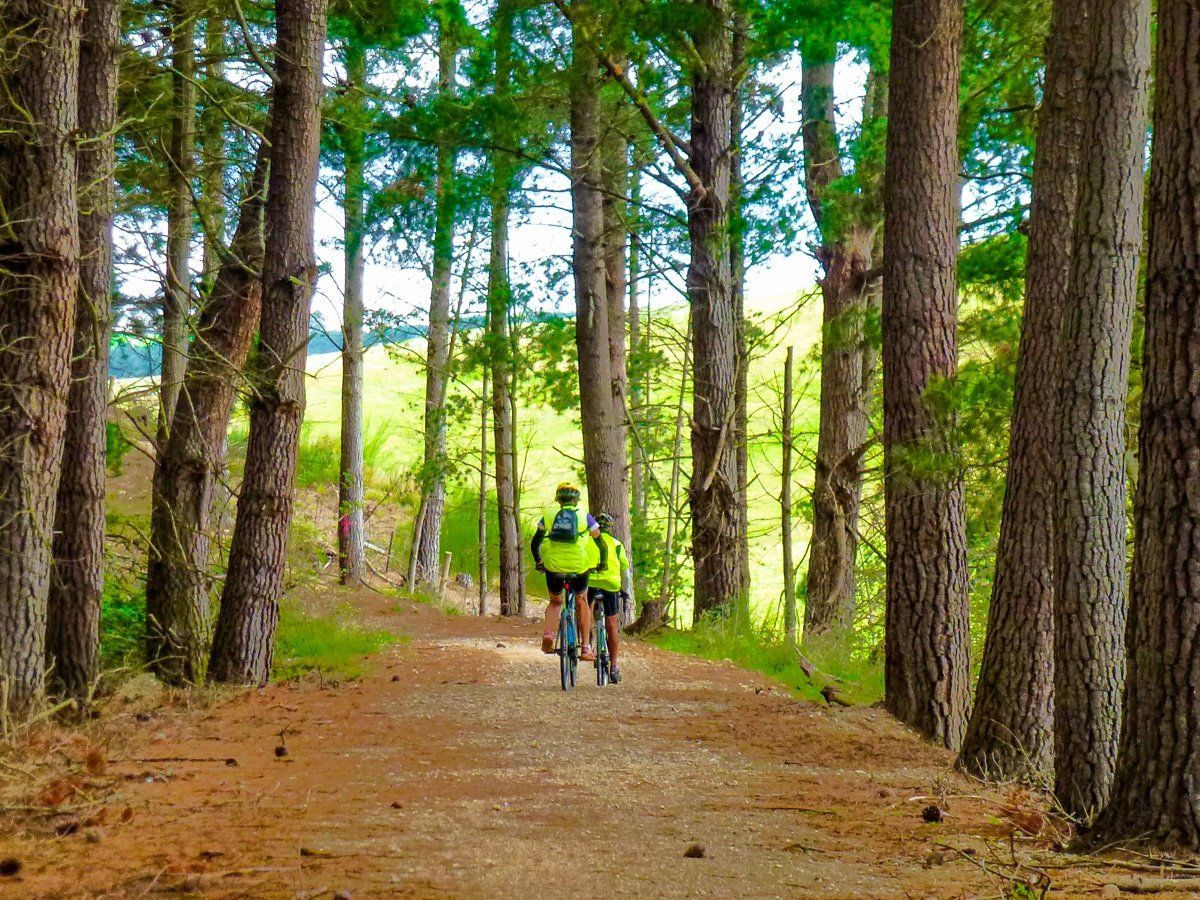
The Alps 2 Ocean trail is New Zealand’s longest continuous cycle trail. Starting from either Aoraki/Mt Cook or Tekapo in the Southern Alps, it takes you around the lakes and canals of the Mackenzie Country then down the Waitaki Valley with its hydro dams and lakes, then heads into the rolling hills, with their ancient fossils to the west of Duntroon, before terminating in the Pacific coast town of Oamaru.
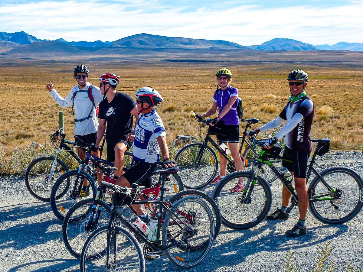
The trail is over 300 km and mostly easy to intermediate grade. It mixes purpose built trails, quiet backroads and the odd highway section. There are many possible side trips as well, so take the extra time if possible.
Allow 4-7 days for the entire ride, or simply try out a day excursion. Whichever option you choose, the Alps 2 Ocean Cycle Trail is sure to be a memorable South Island, NZ experience.
If you have the choice, do it in Autumn. There are several areas with fantastic colours and the daytime temperatures are moderate.
Option 1: Aoraki to Lake Pukaki
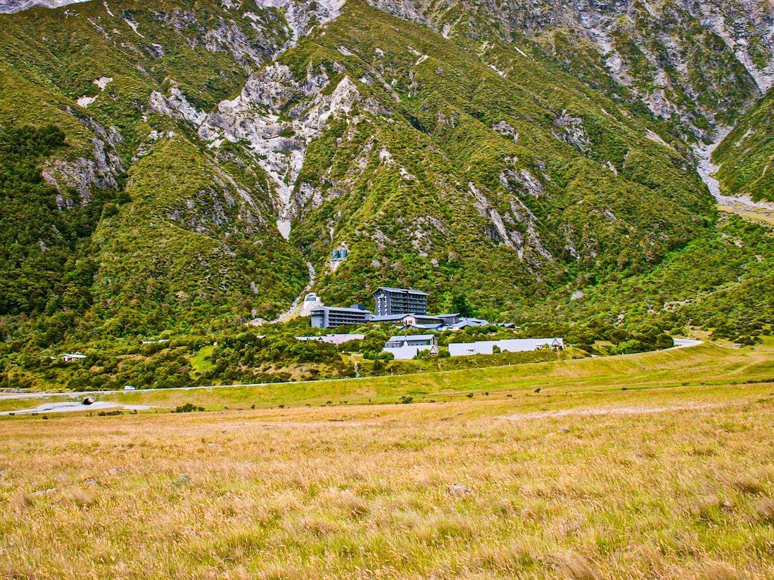
The Alps 2 Ocean Cycle Trail starts at the White Horse Hill Campground. From there, a 7.2km trail takes you to Mount Cook Airport, where you need to make a short helicopter flight across the Tasman River to Tasman Point. The helicopter can carry up to 6 passengers at a time and needs to be pre-booked.
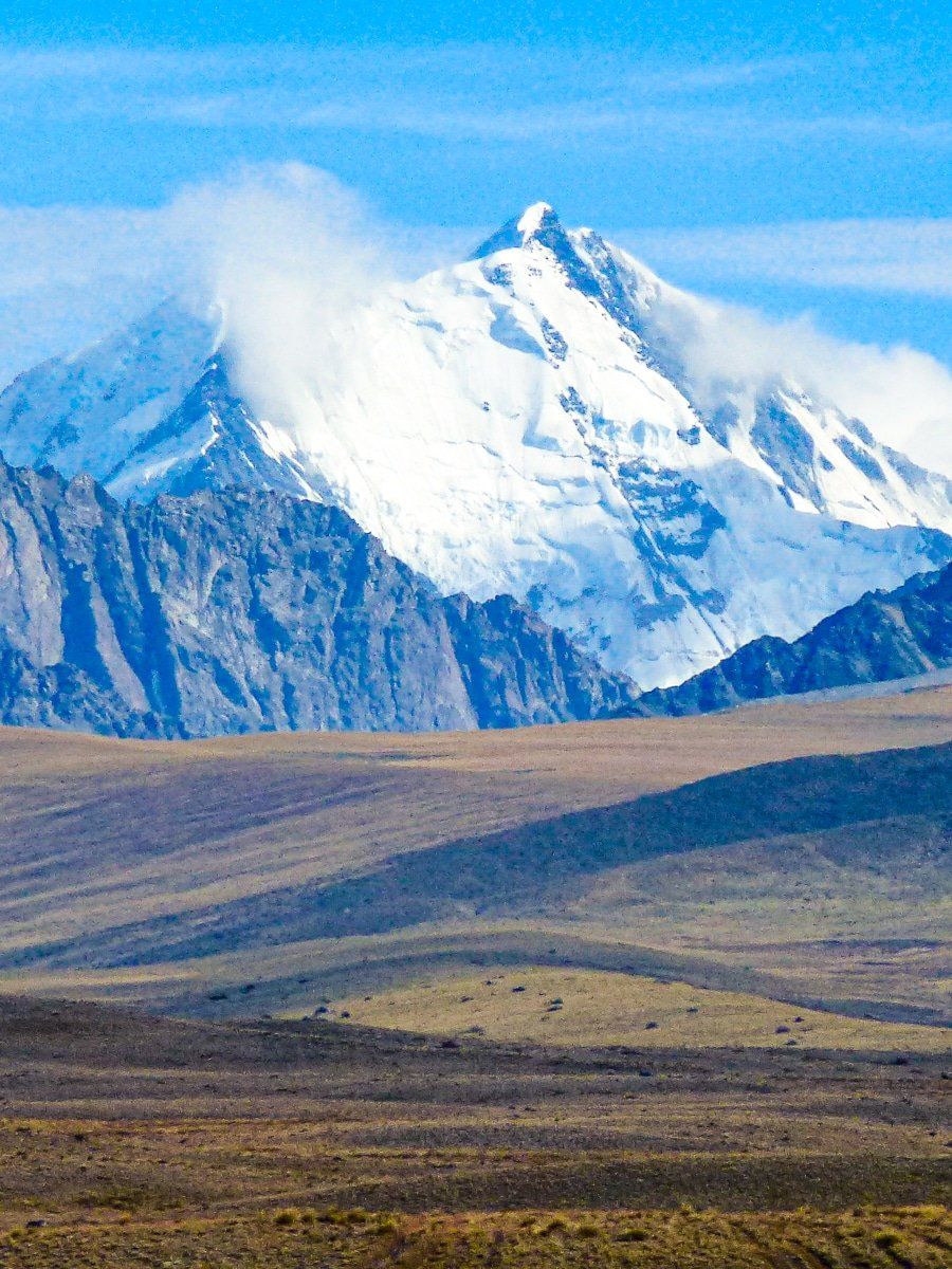
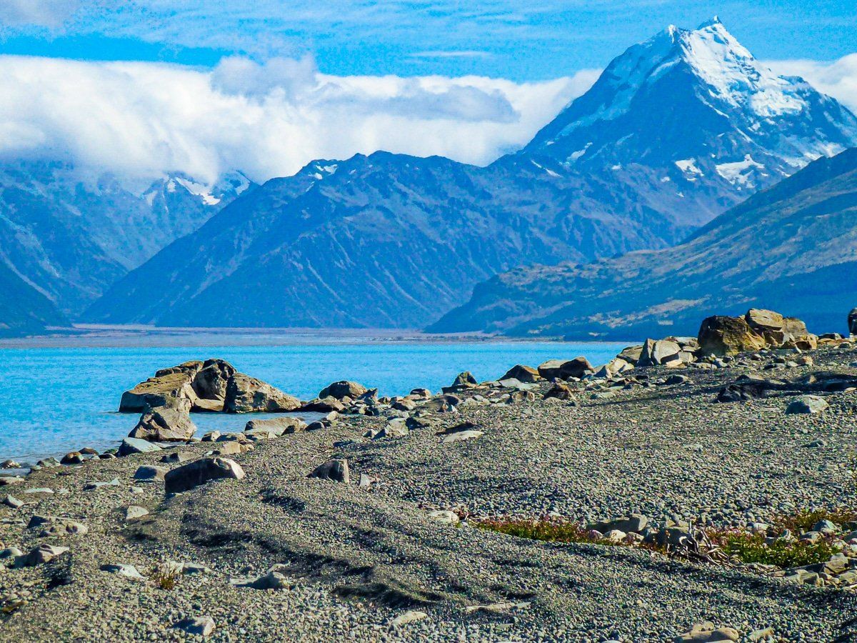
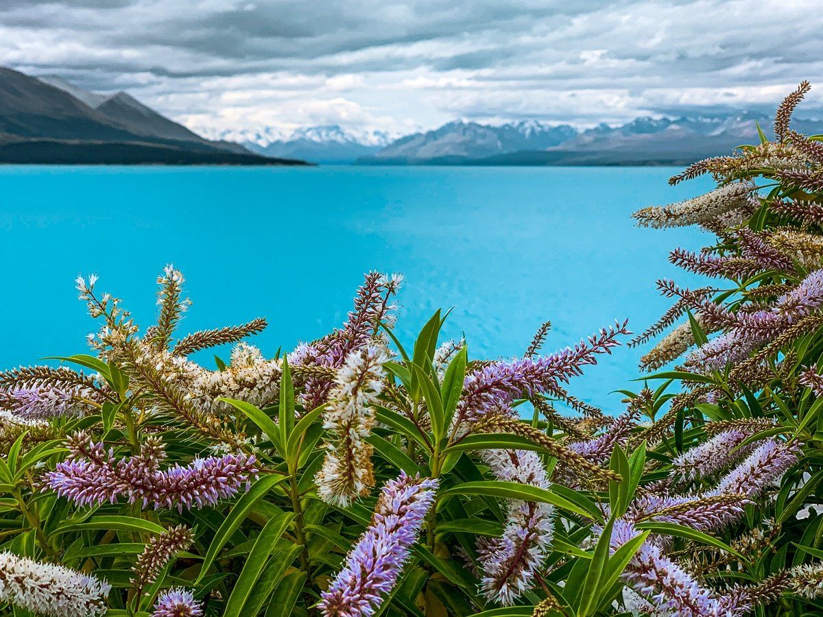
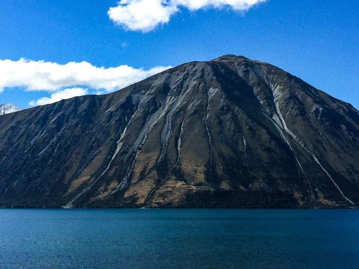
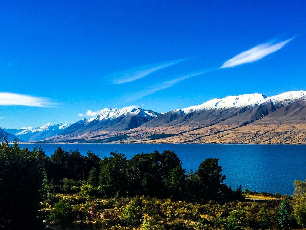
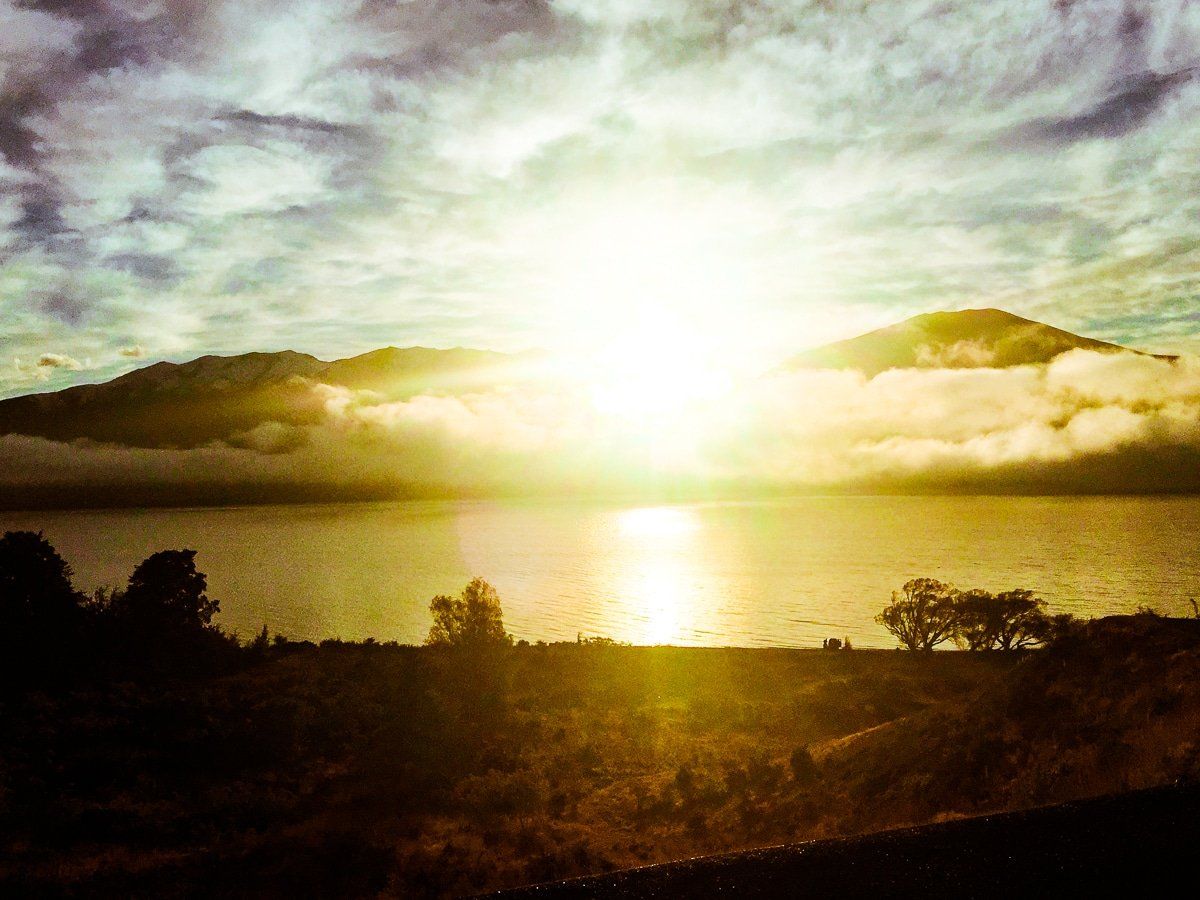
From Tasman Point it’s 10.6km on a rough track down the eastside of the Tasman River, then Lake Pukaki, with several creek crossings, to the Jollie Car Park. Then 17 km along Braemar Station Road to Hayman Road, all unsealed until the Tekapo B Power Station. From there continue down the eastside of Lake Pukaki to a purpose built cycle track around the southern edge of the lake to the Visitor Centre. On a clear day, the first section of the trail offers especially good views of Aoraki Mt Cook.
Option 2: Tekapo to Lake Pukaki
This alternative route is easier and avoids the cost of a helicopter, but lacks the views of Aoraki Mt Cook.
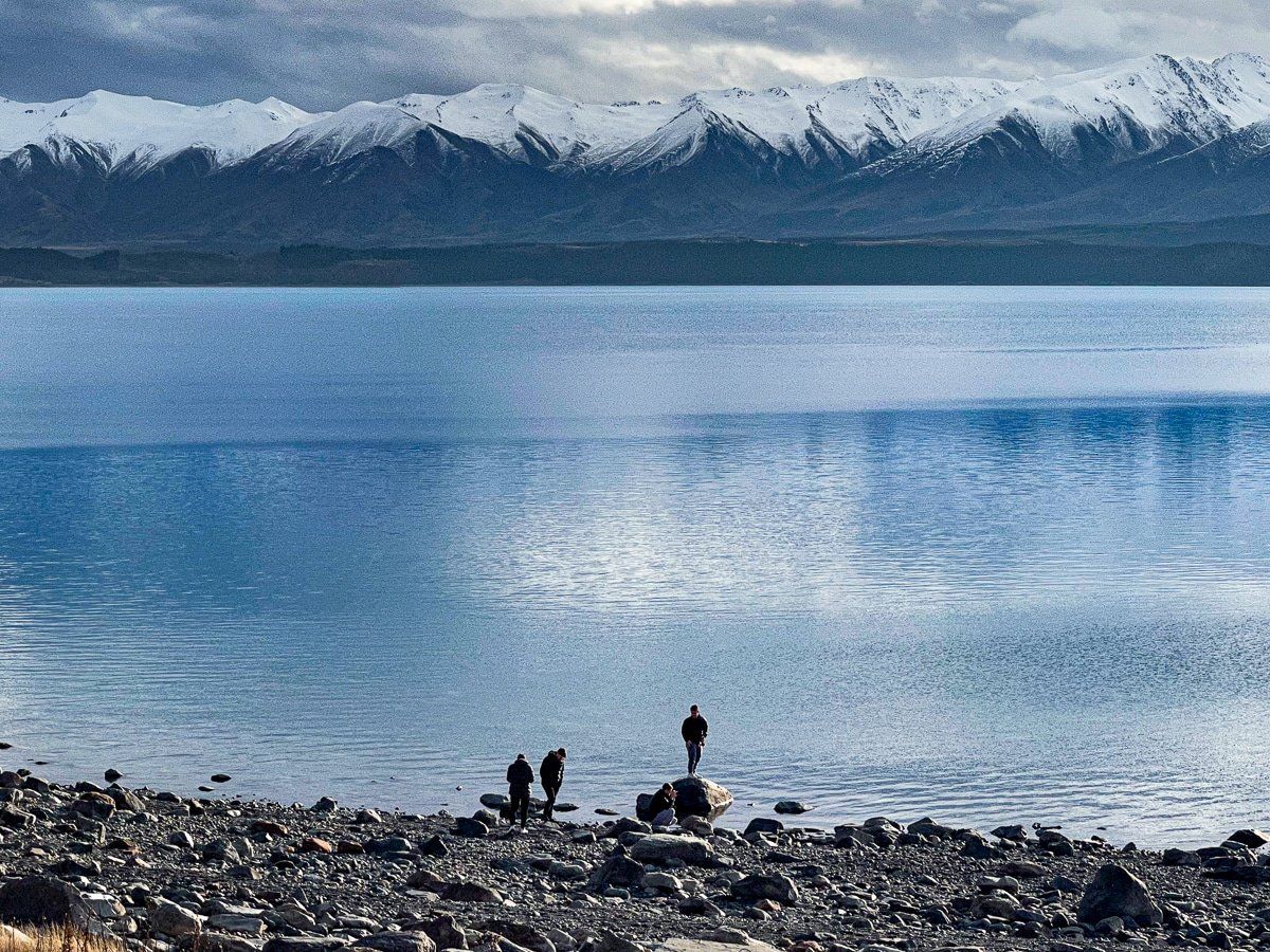
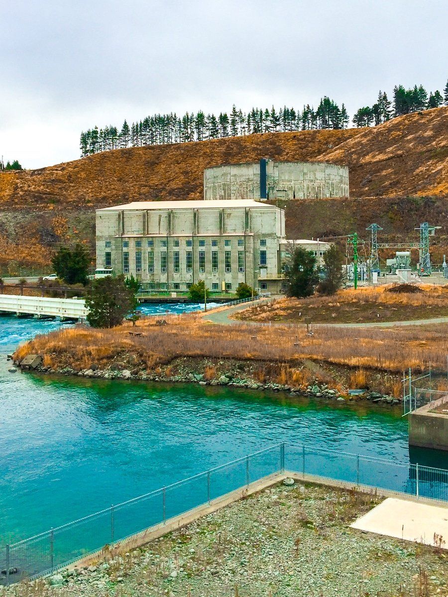
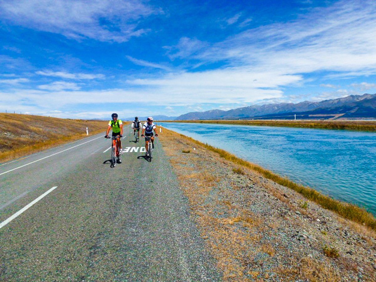
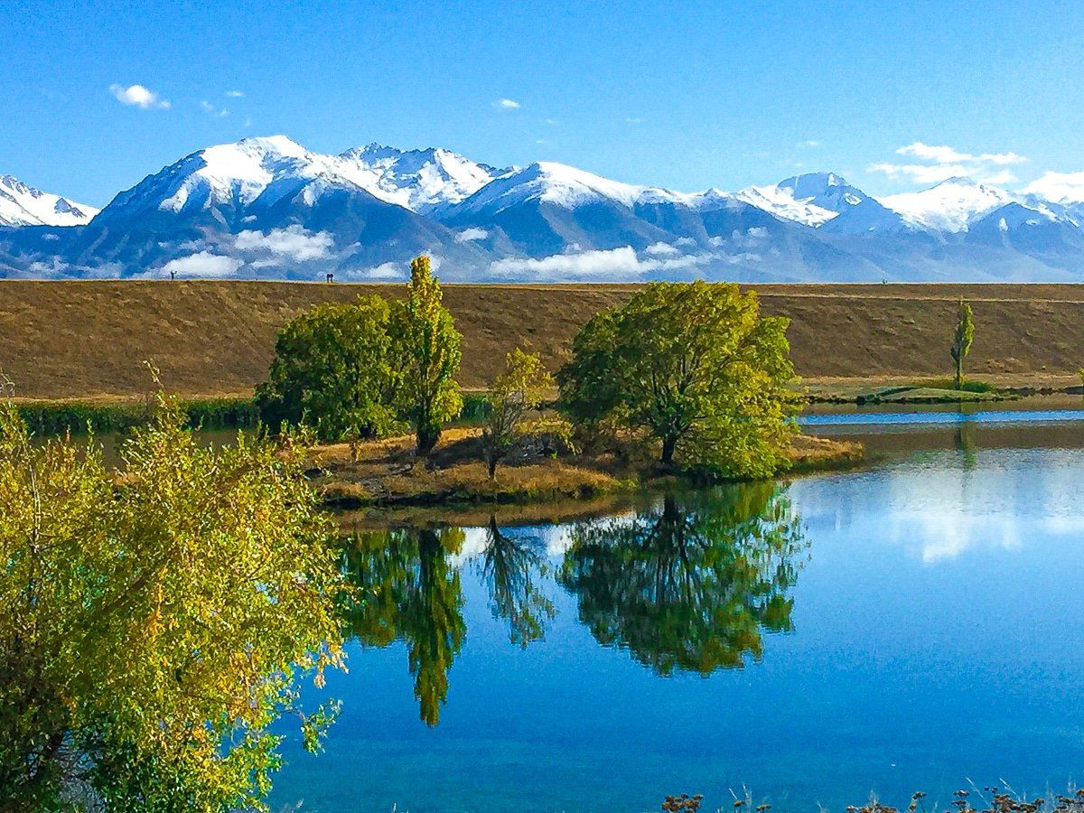
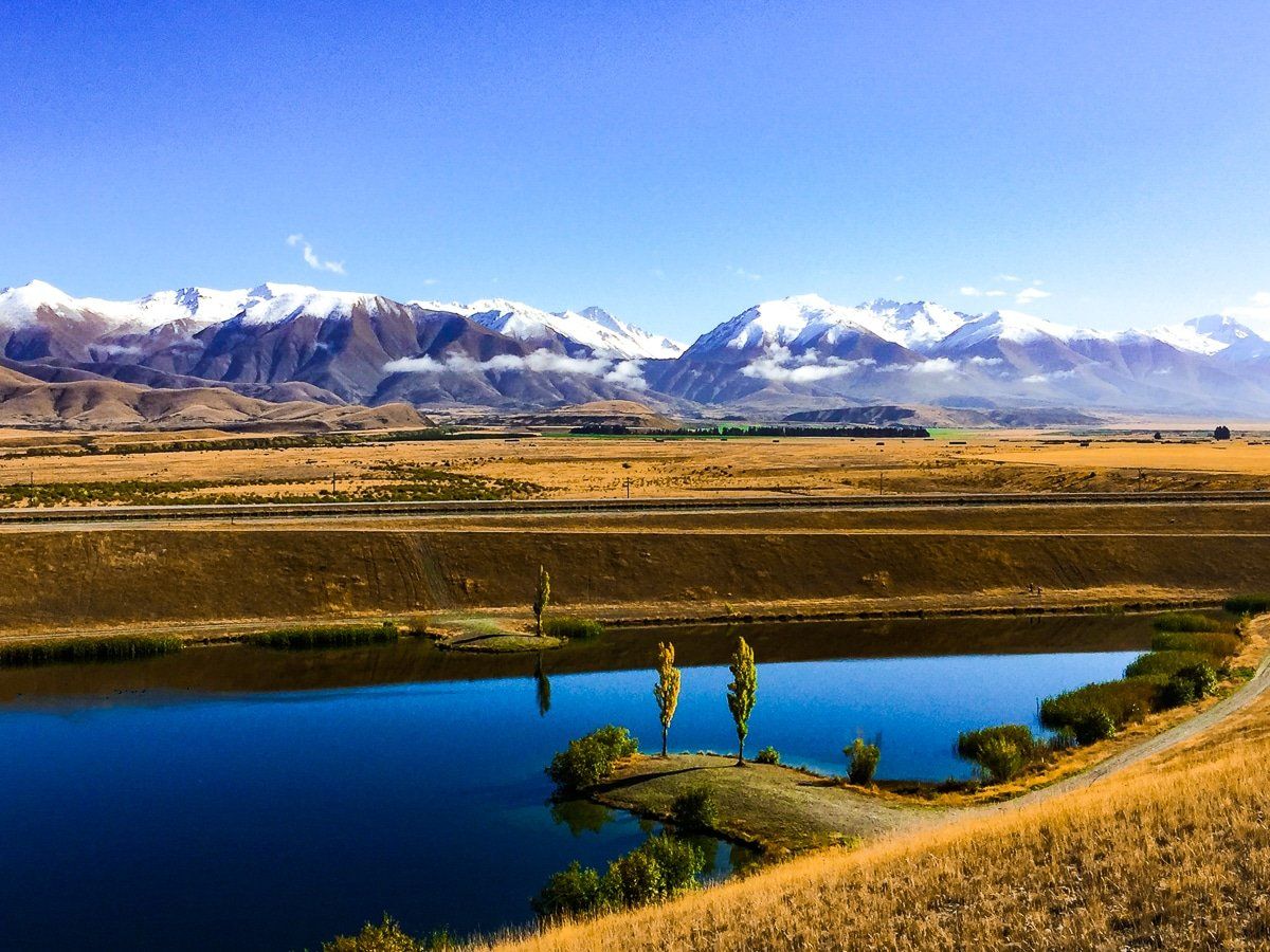
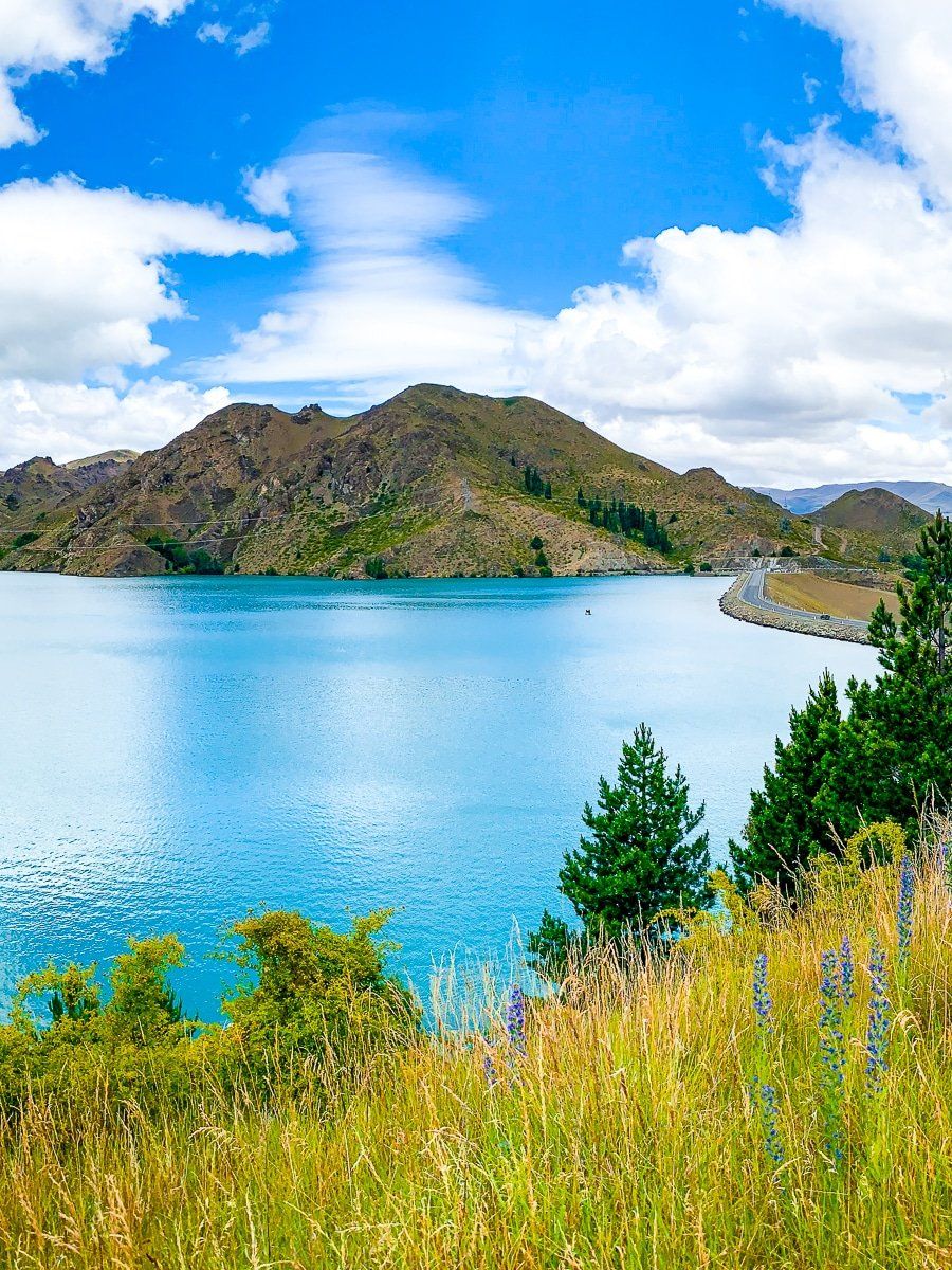
From Tekapo, follow the flat Tekapo Canal Road to Lake Pukaki. This road parallels a series of purpose built hydro canals which link the 3 main natural lakes, Tekapo, Pukaki and Ohau to the Waitaki Hydro Scheme.
Along the way you will visit the Tekapo B Power Station which is located near the Lake Pukaki, then head south on Hayman Road to the the start of the purpose built trail around the southern end of the lake to the Visitor Centre.
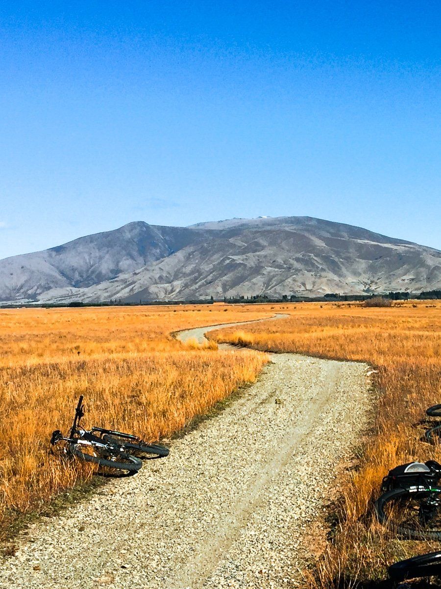
Lake Pukaki to Twizel
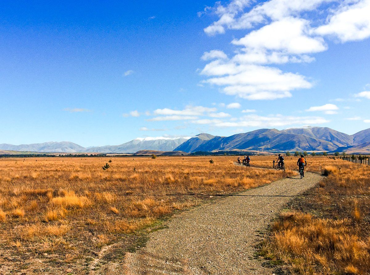
From Lake Pukaki, cross State Highway 8 to the purpose built trail. Follow the trail across Pukaki Flats – an expansive area of dry big sky grasslands that are characteristic of the Mackenzie landscape.
This takes you to the town of Twizel which has a wide range of accommodation and food options.

Twizel to Ohau
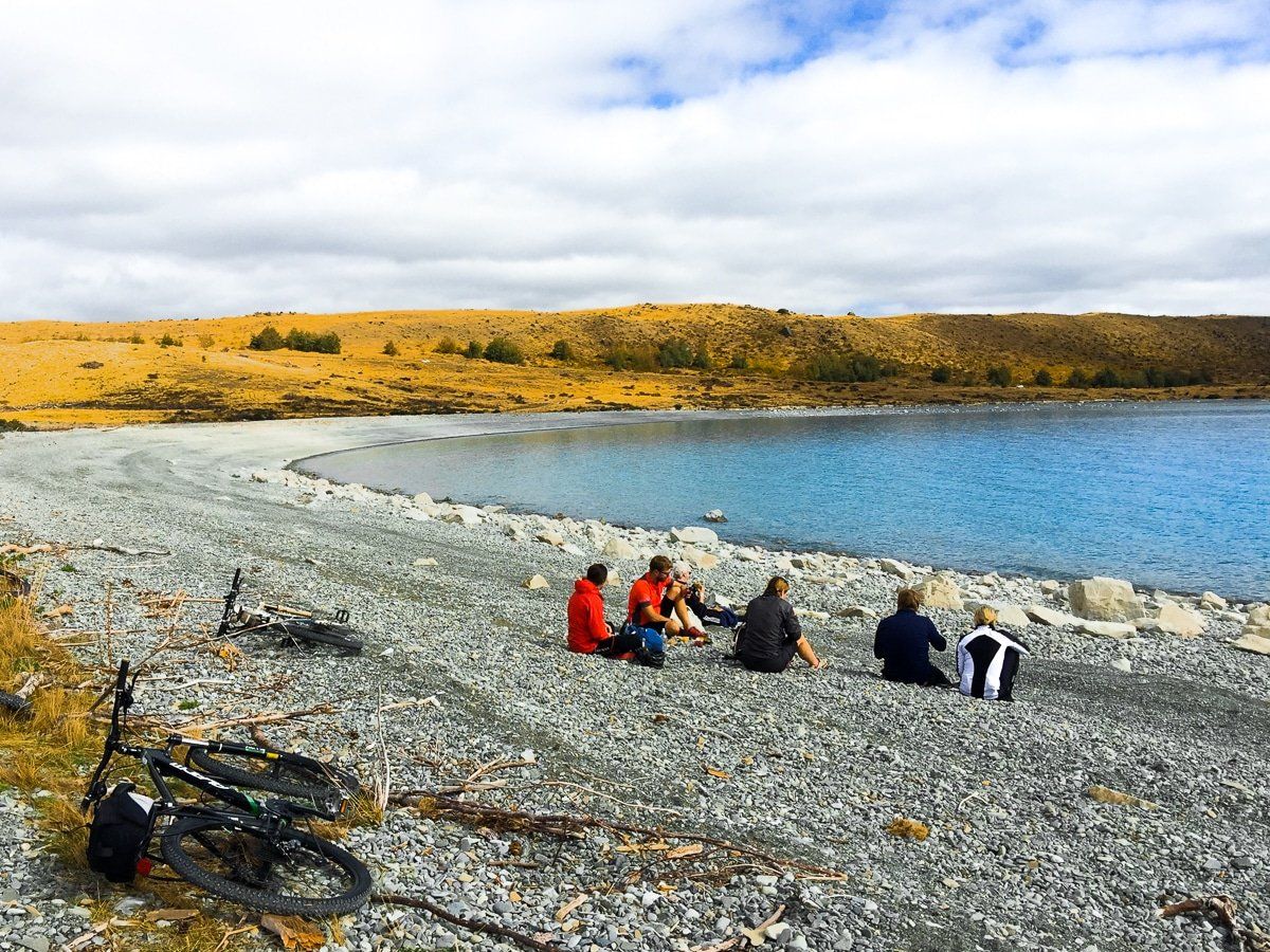
This section is mostly easy and flat, following back roads and canals until you reach the trail around the southern end of Lake Ohau.
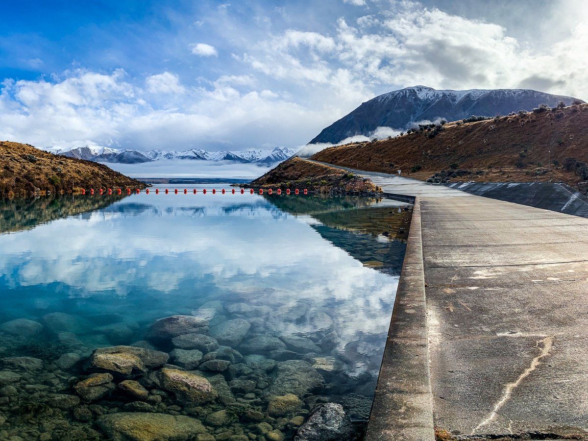
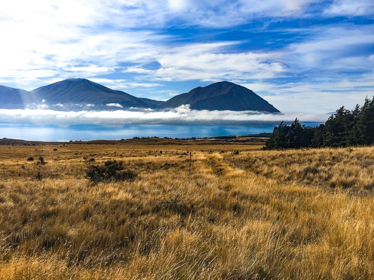
From Twizel, head towards Glen Lyon Road. Follow this until it crosses the canal bridge just past Loch Cameron. This lake is a very scenic spot, so take the time to hike up the hill above the lake.
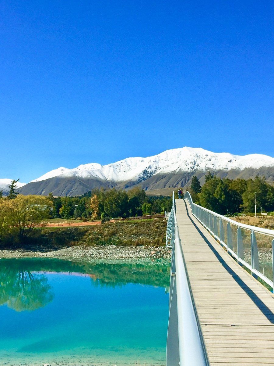
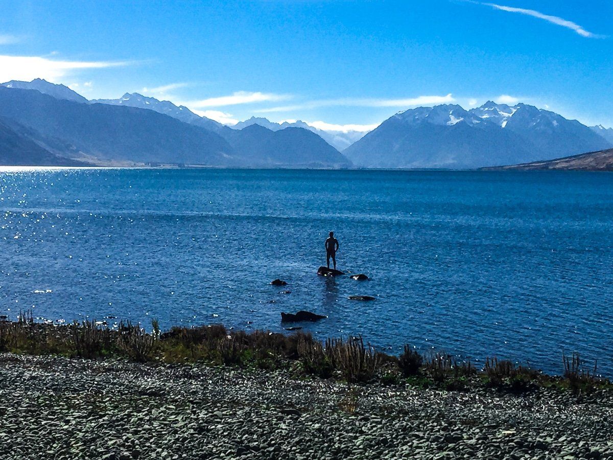
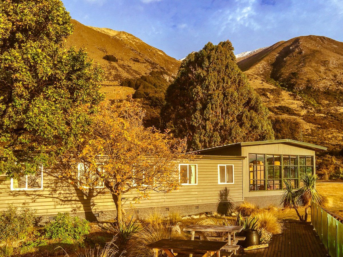
After crossing the bridge, stay on the two lane northern side of the canal road until the edge of Lake Ohau. From there an off-road trail descends down to the lake foreshore before eventually connecting to the sealed Lake Ohau Road. Follow the road for the final 10km to Lake Ohau Lodge. You can arrange to stay in the lodge or in one of the other accommodations in nearby Lake Ohau Village.
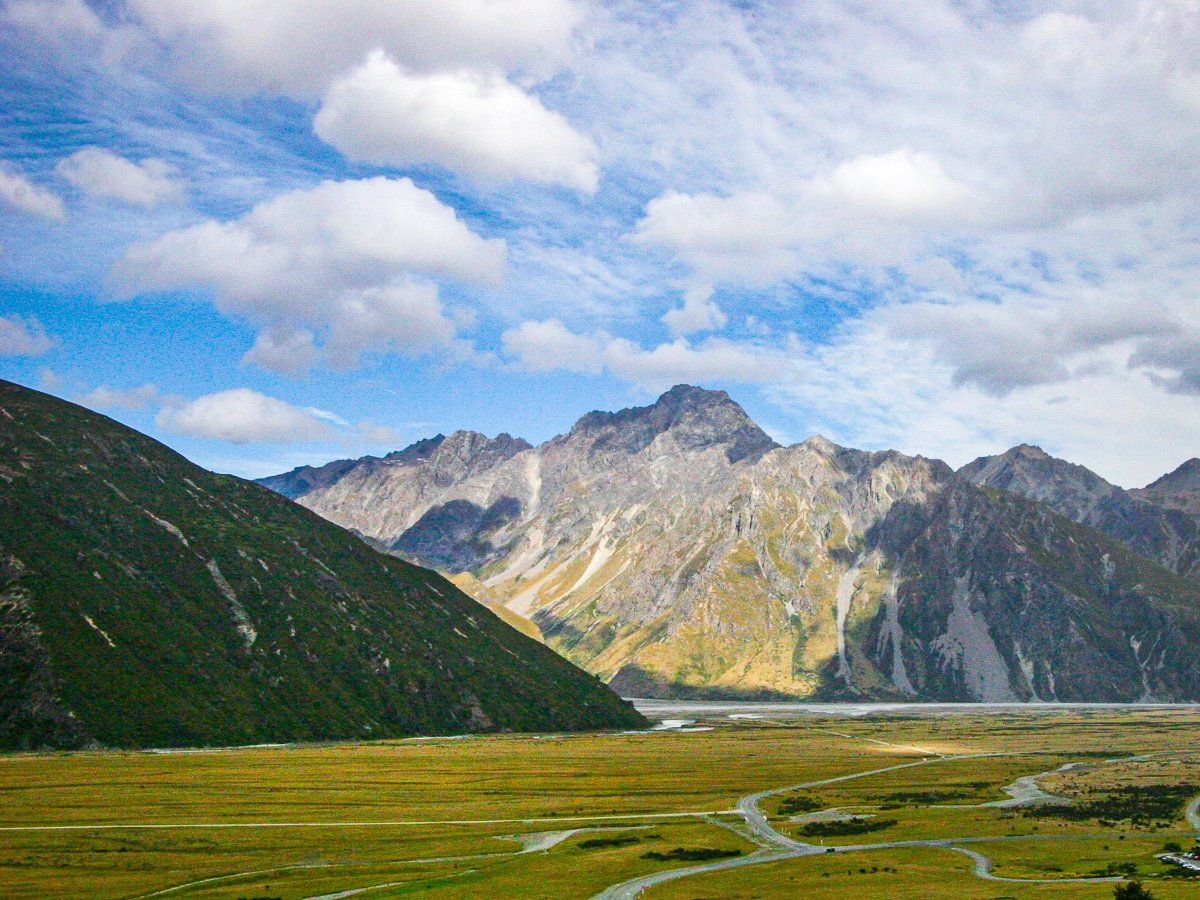
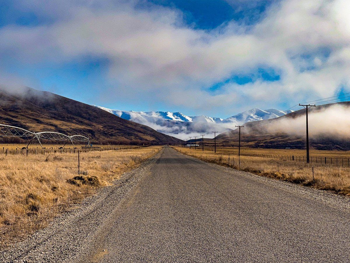
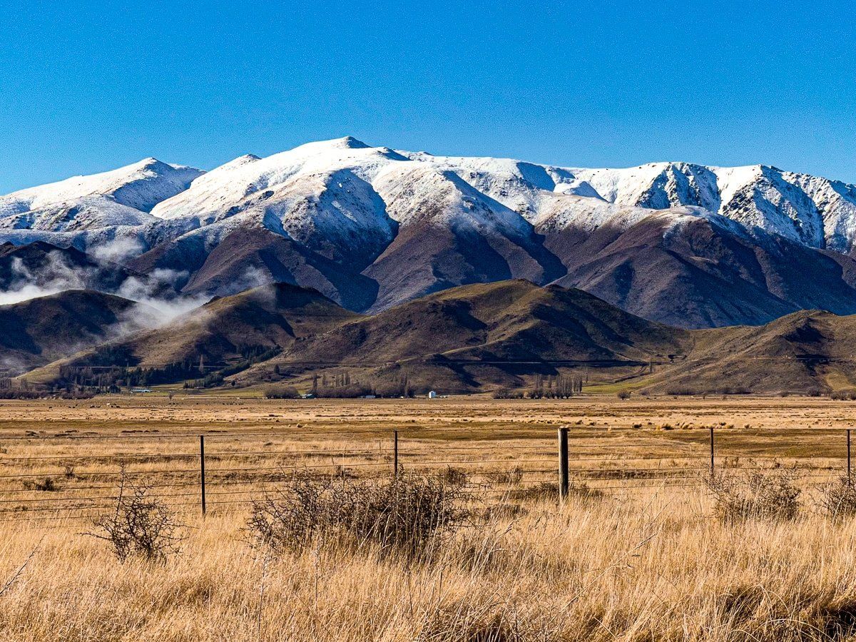
Lake Ohau to Omarama
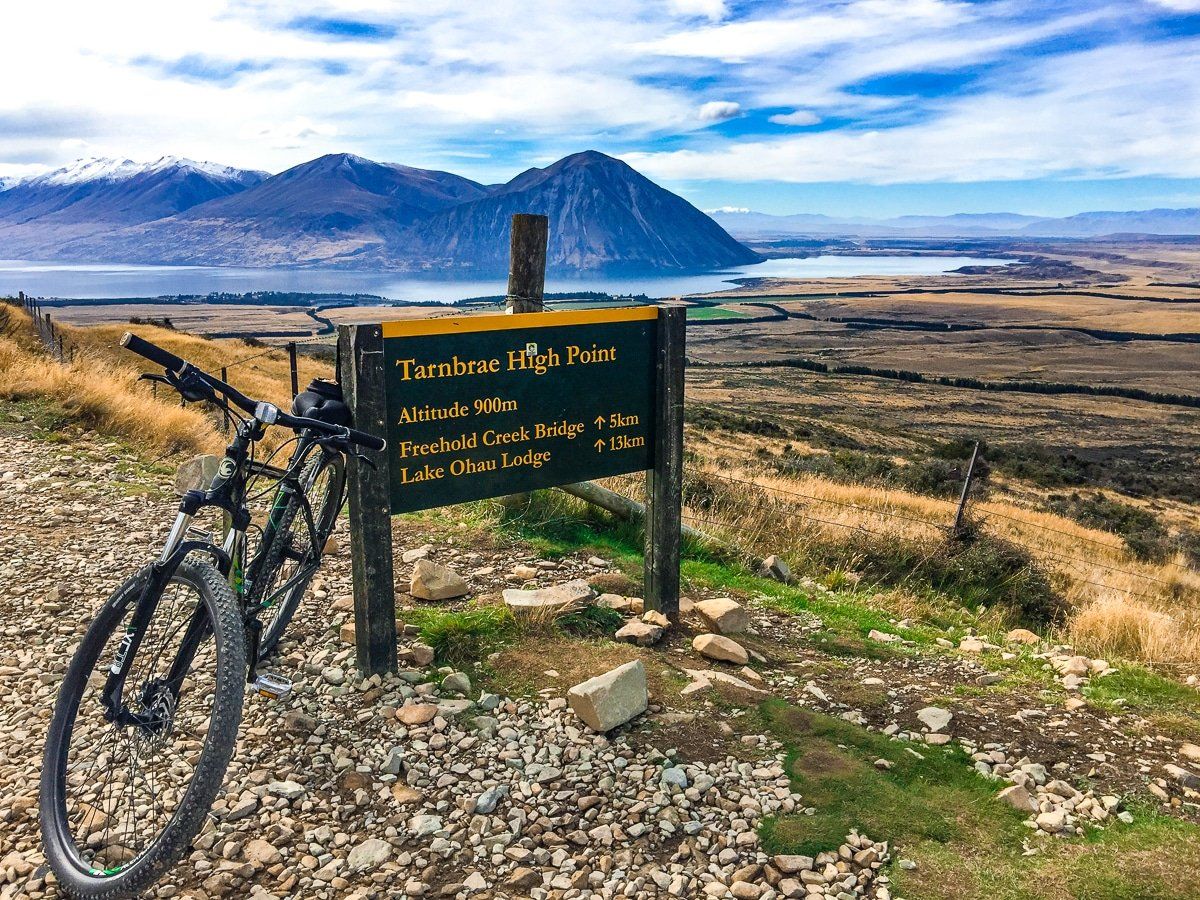
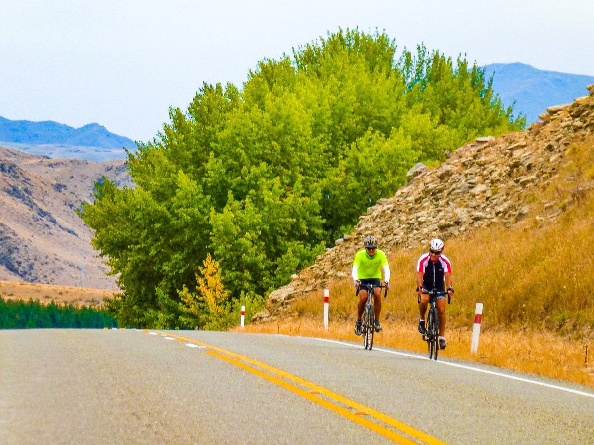
This section is rated up to grade 3 (intermediate). Starting from the Lake Ohau Lodge driveway, the trail traverses the lower slopes of the Ohau range in the Ruataniwha Conservation Park, with stunning views back across the basin to the Ben Ohau Range. It’s a steady climb to the high point on the trail at 900m and is hot work in summer.
Once at the high point it is a rolling descent, with a couple of tight hairpins, to the historic woolshed at the top of Quailburn Road. Toilets and parking are available here.
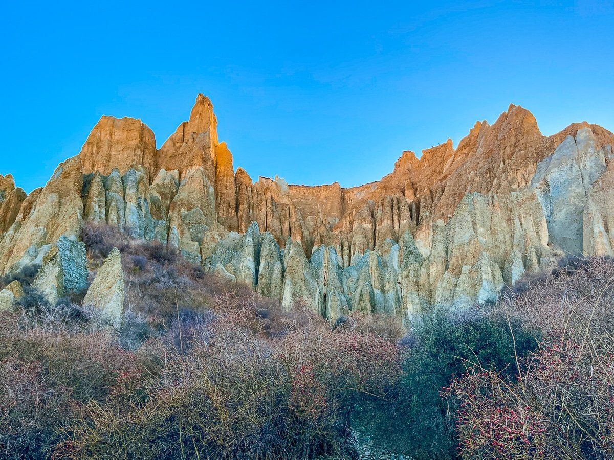
On the way down Quailburn Road you can turn onto Henburn Rd [36km] and take a side trip to see the Clay Cliffs (and extra 14km return).
Where Quailburn Road meets the highway, take the off-road trail which leads through the Ahuriri Camp Ground [42km]. Exit the camp ground and cross over the Ahuriri river using the road bridge. A short off-road trail then takes you to Omarama.

Omarama to Kurow
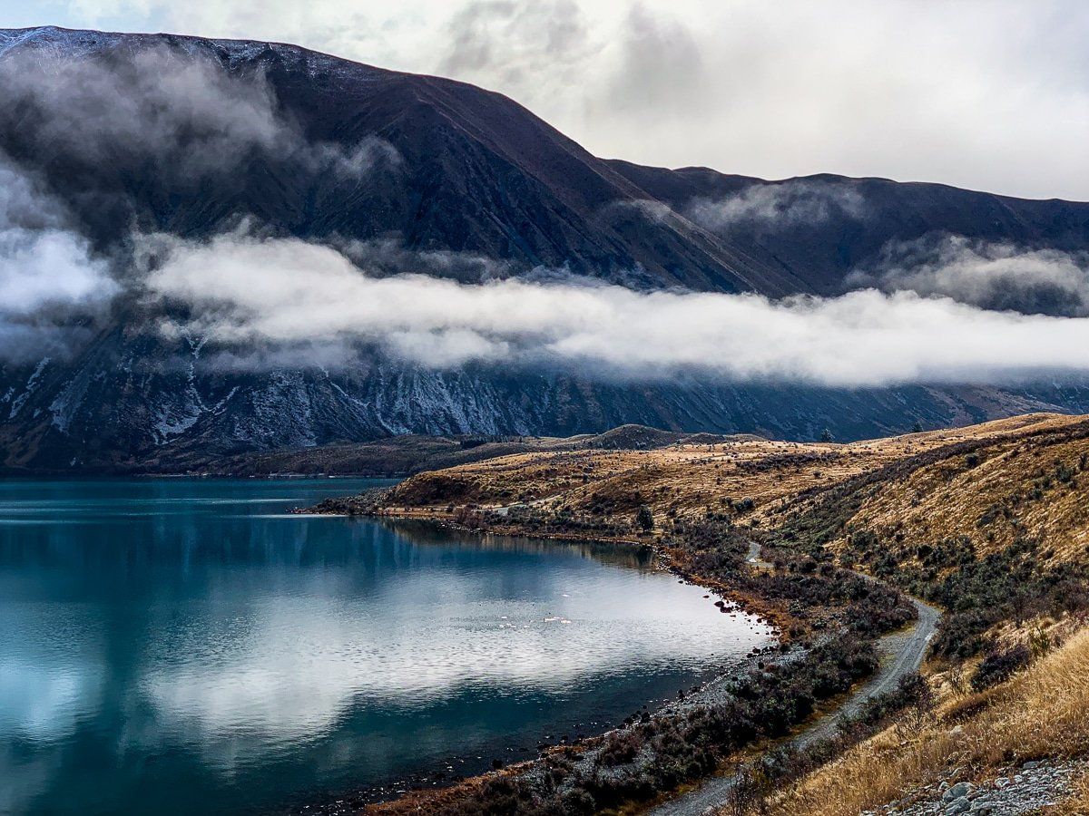
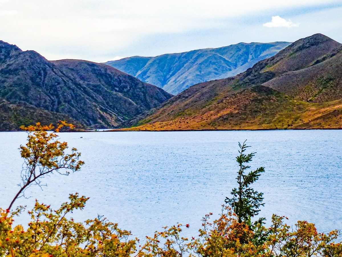
From Omarama to Sailors Crossing on Lake Benmore, the trail is rated Grade 2. Ride east down the Waitaki Valley, following the off-road trail to the top of the Chain Hills [5km]. From here you descend beside State Highway 83, then follow the edge of Lake Benmore to Pumpkin Point [10km]. Continue beside the lake to Sailors Cutting.
The trail onwards to the Lake Benmore Dam then becomes a mix of Grade 2 and some narrower and steeper Grade 3 sections, cut into the side of steep hills in places. There are safety barriers in place where drops occur. Don’t be embarrassed if you need to walk some sections and be careful in general.
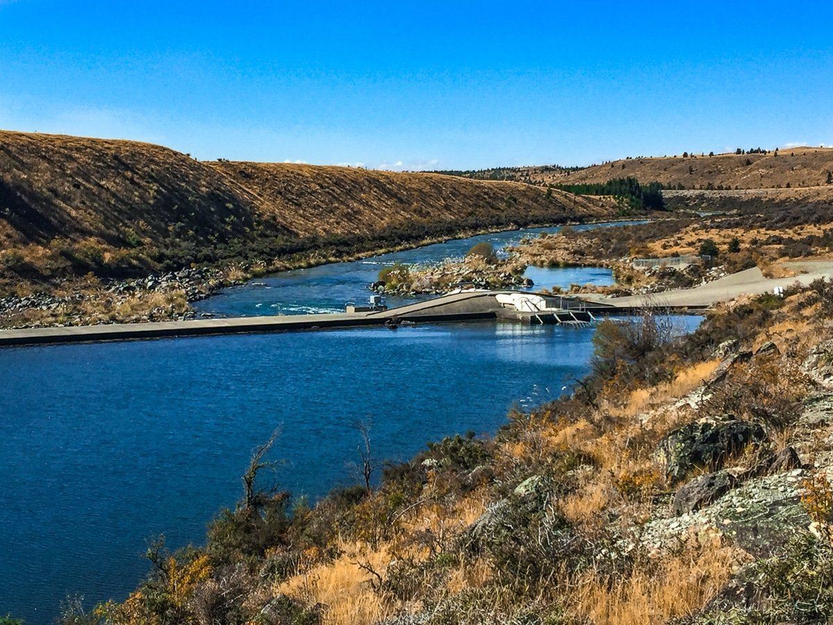
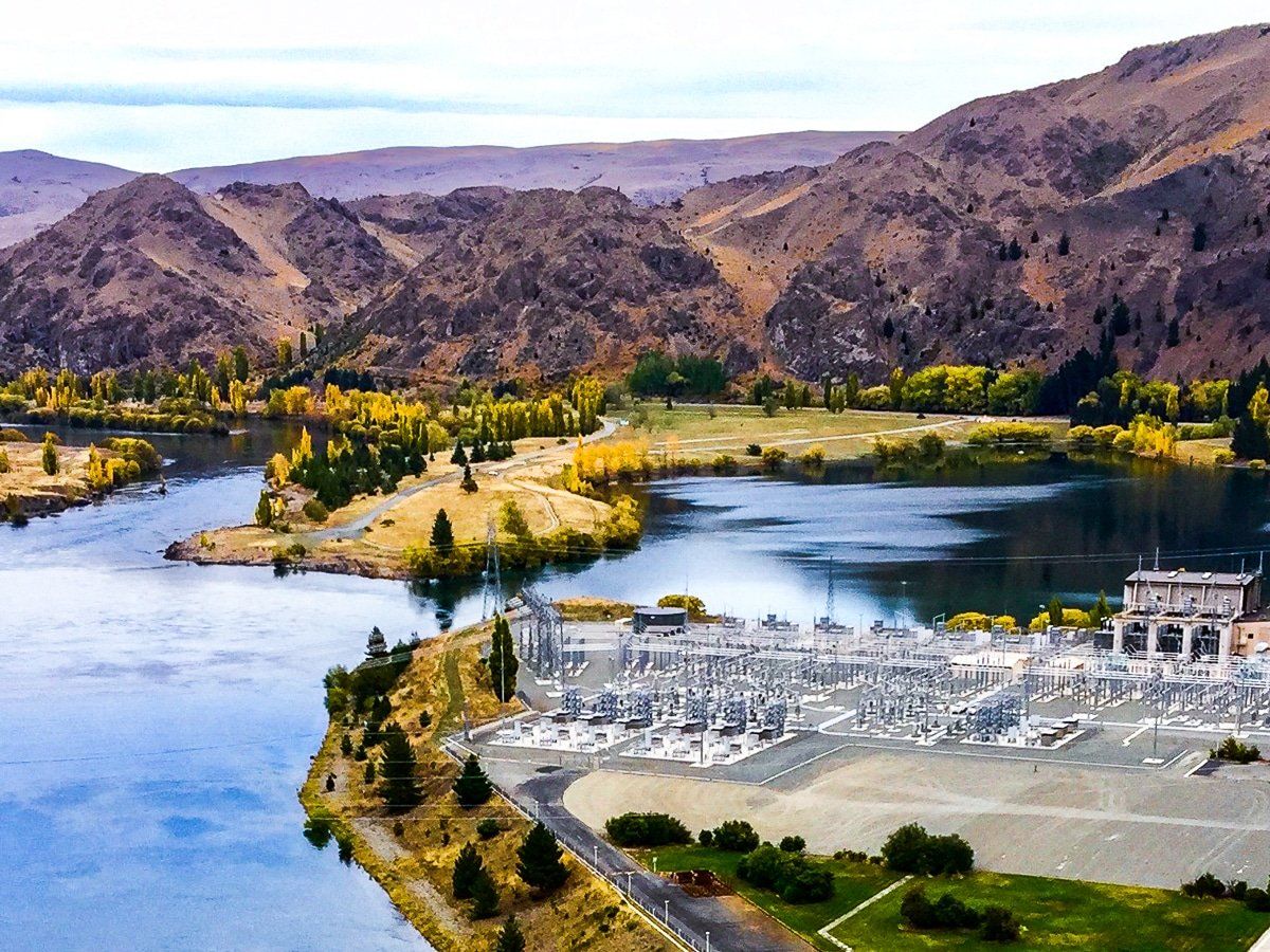
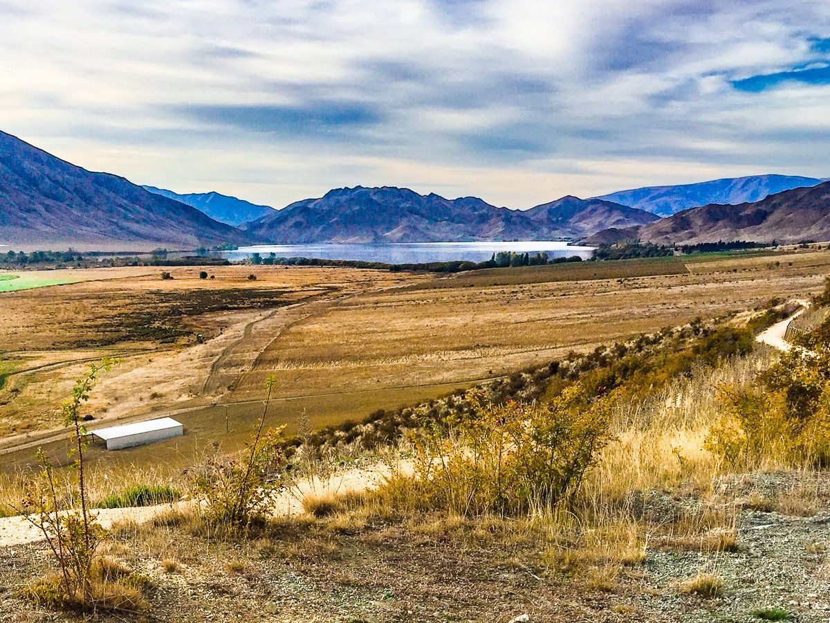
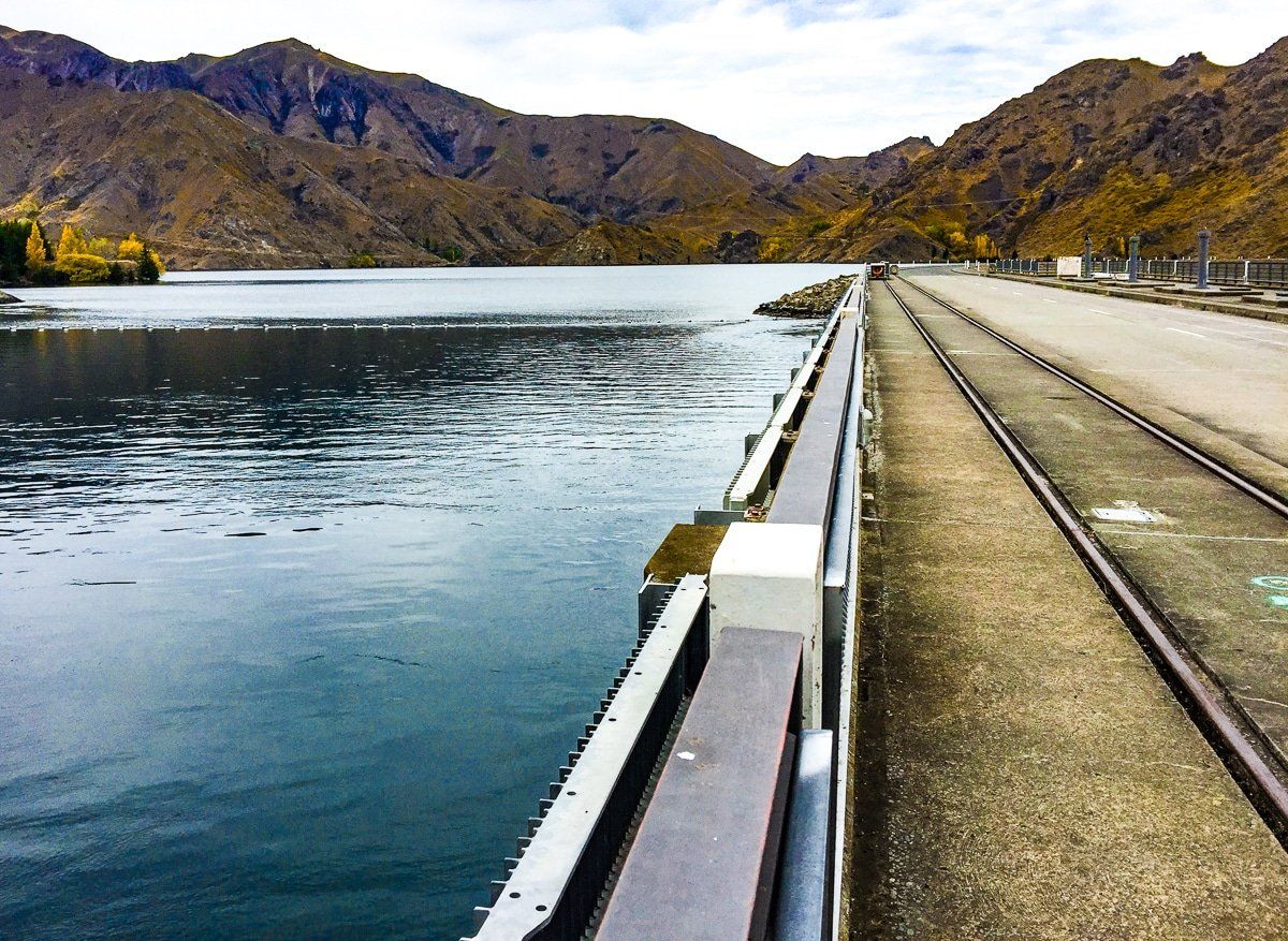
From Lake Benmore Dam, you can either head into Otematata for food and accommodation or continue across the dam and down the east side of Lake Aviemore, crossing the lake at the Aviemore Dam. This a fast, easy, and pretty backroad with several nice opportunities for a stop, including the short Deep Stream walk before the dam.
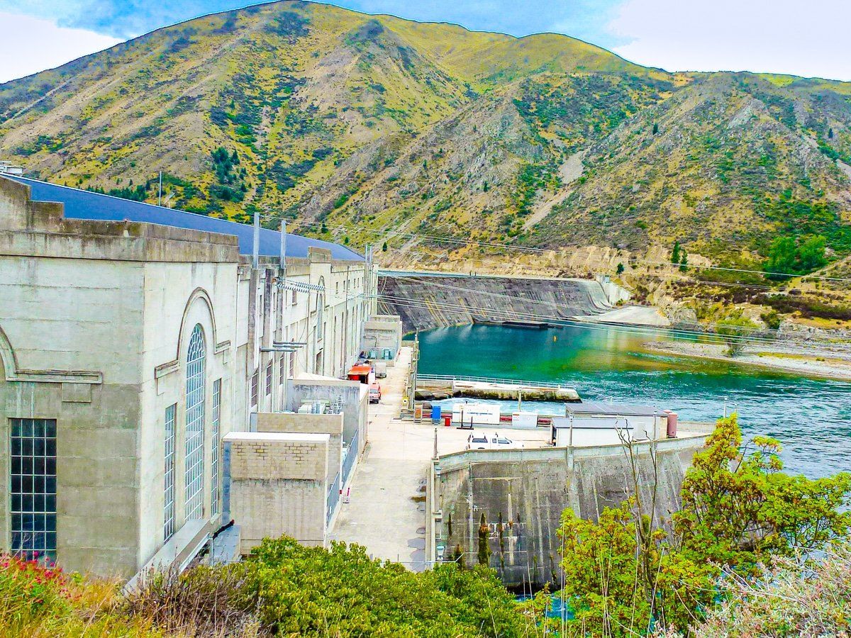
After crossing the dam, the trail follows State Highway 83 to Lake Waitaki and the Waitaki Dam [36km], then to Kurow. This section of trail has an interesting hydro history with dams and project towns.
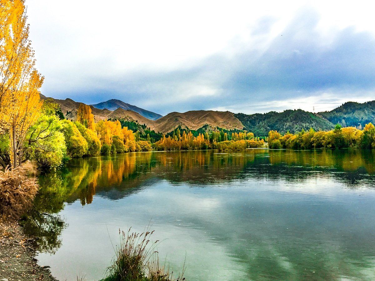
Kurow to Oamaru
The purpose-built trail starts at the eastern end of Kurow between the museum sheds. Follow the Waitaki River, cross Kurow Creek then ride up alongside the highway. Continue on through a winery and along the Waitaki Haul Road. There is an option to visit the Takiroa Māori rock art site, otherwise continue on the trail that heads back down to the Waitaki River and ride through the Duntroon Wetlands before emerging in the centre of Duntroon. Check out the Vanished World Centre with its fossil collections and the nearby Māori rock carvings.
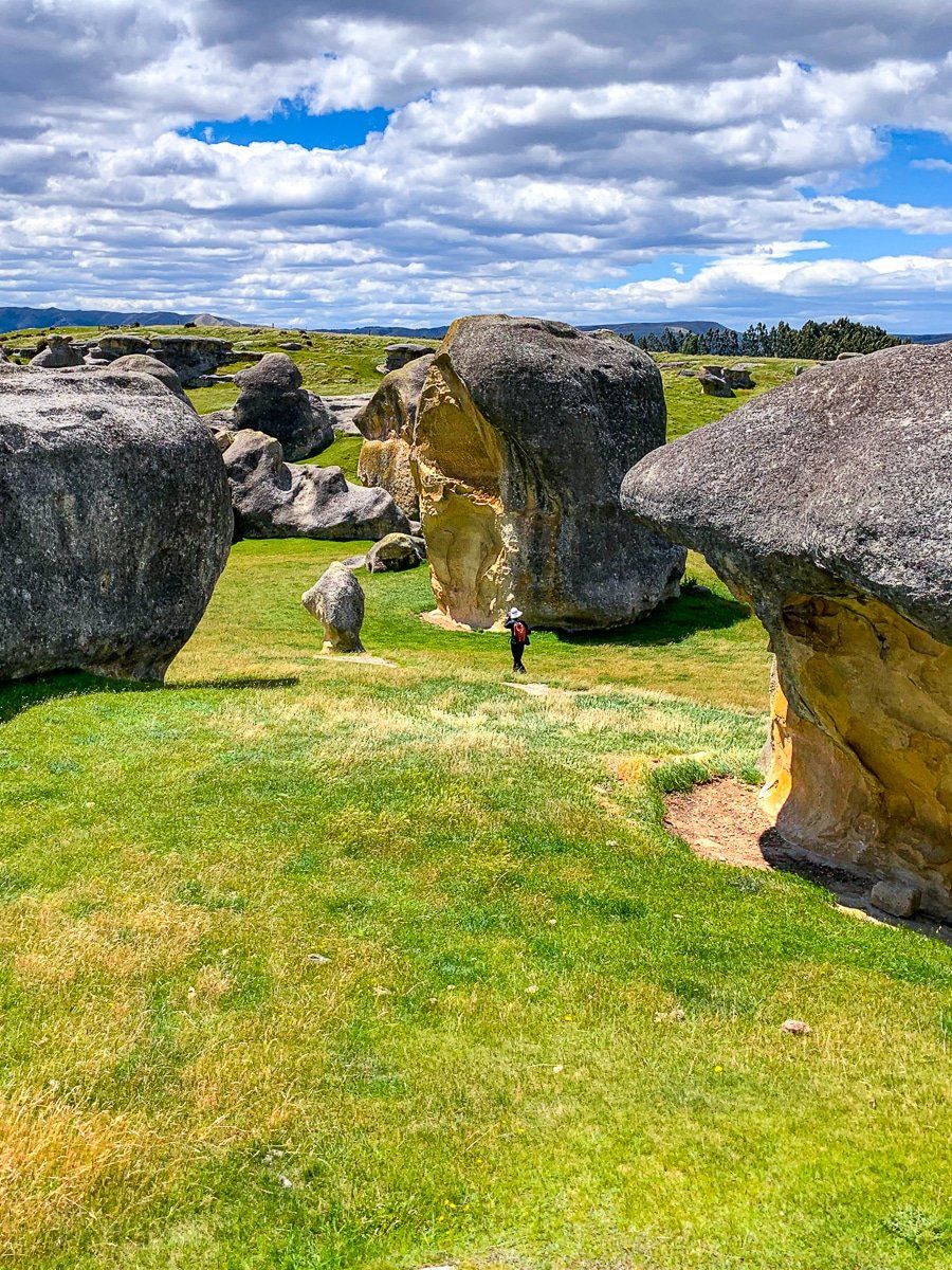
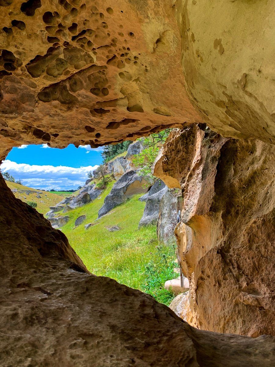
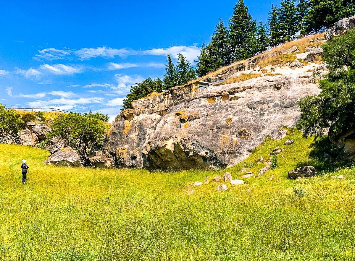
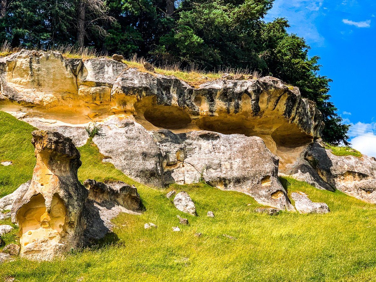
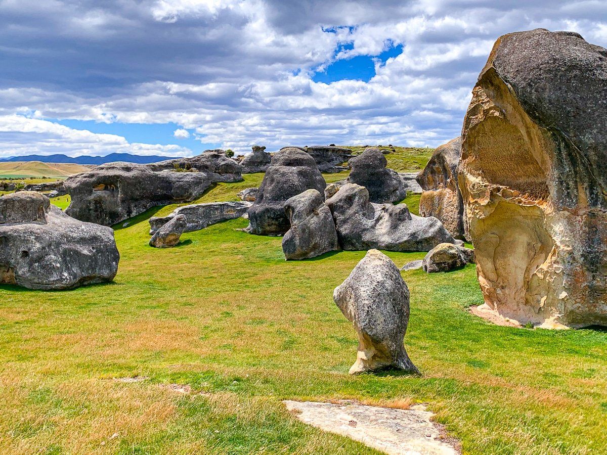
From Duntroon you head south-west on the purpose-built trail to the unique rock formations known as Elephant Rocks. Continue on Prydes Gully Rd, then continue off-road through Island Cliff which is surrounded by limestone escarpments with protected ancient whale fossils. These rocky sections are the highlight of this part of the trail.
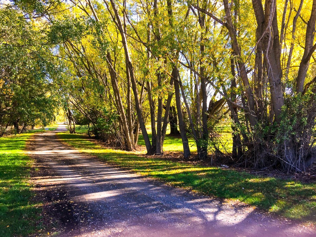
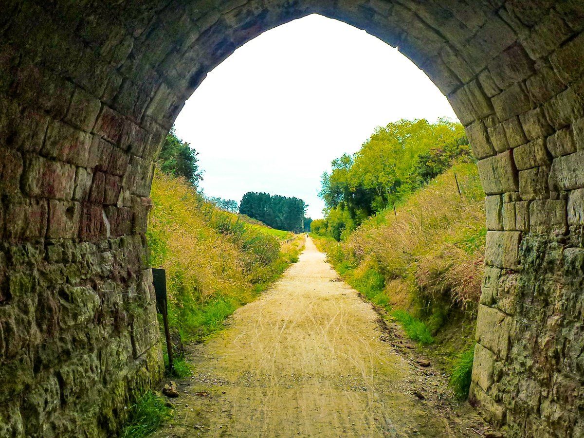
The trail then follows back roads to the Rakis Railway Tunnel where there is a toilet and picnic spot. The Tunnel is over 100 dark metres long, with a bend, so a torch is needed. Follow the old railway line to Windsor, then to Enfield and Weston, then take the sealed cycle way downhill to the Oamaru Gardens.
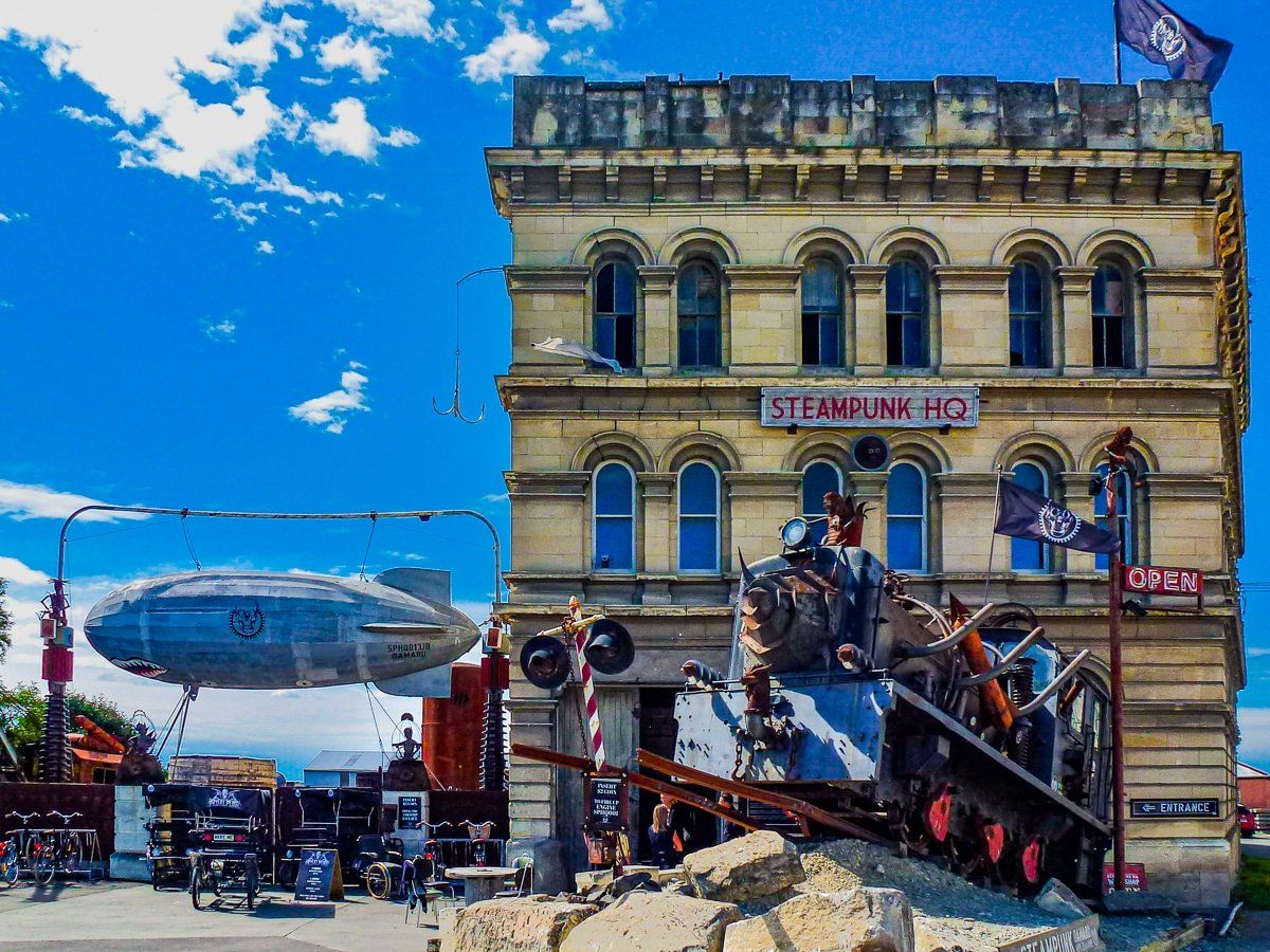
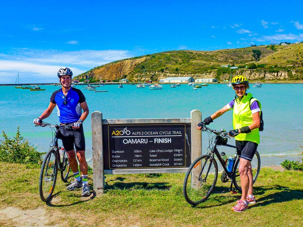
The trail ends on the Pacific Ocean behind Oamaru’s Victorian Precinct. Make sure you save a day to hang out in Oamaru!
Want more trip ideas?
Check out more South Island trips like Ashburton Lakes to Erewhon, Reefton to Arthur’s Pass, and Lewis Pass to Reefton.