Tanekaha Falls Track in the Tanekaha Forest
The Tanekaha Forest, located just inland from Mangawhai Heads on the southeast side of the Brynderwyn Hills, features a network of looped walking tracks that wind through regenerating native forest, past waterfalls, and up to the Brynderwyn Ridge. The most interesting of these walks is the Tanekaha Falls Track.
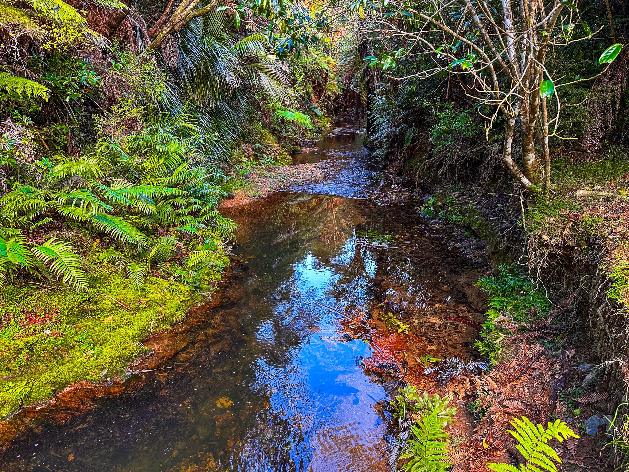
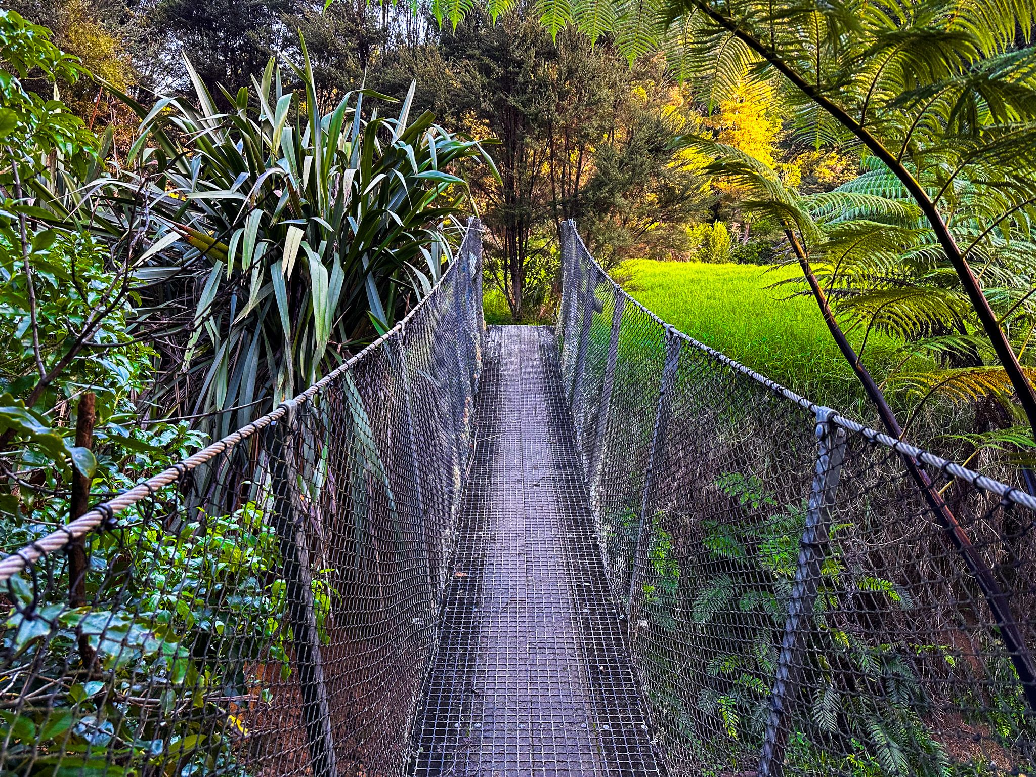
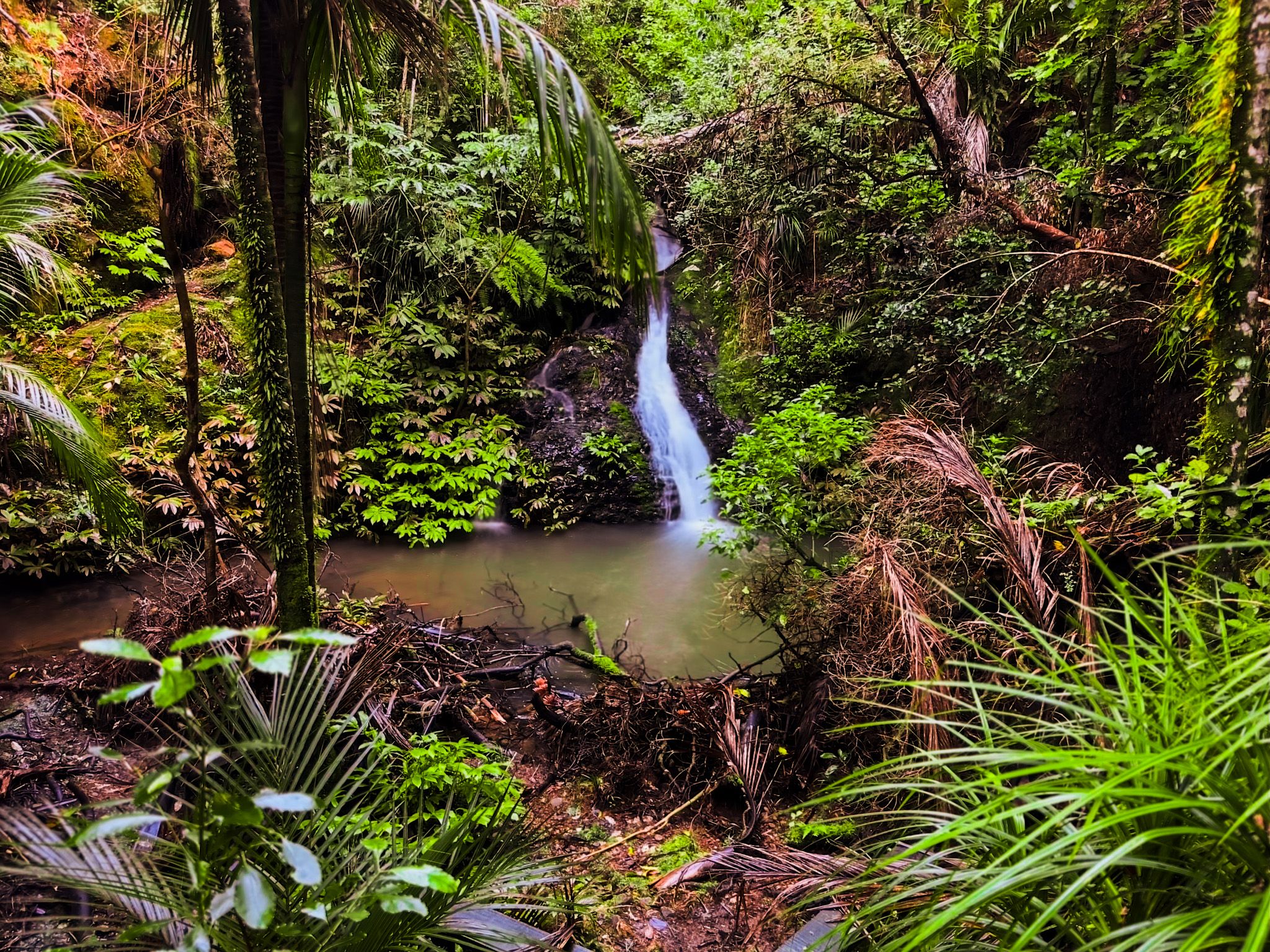
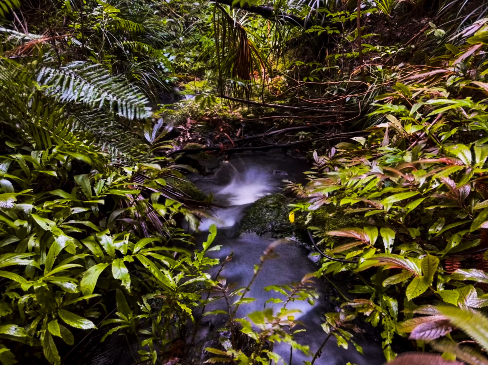
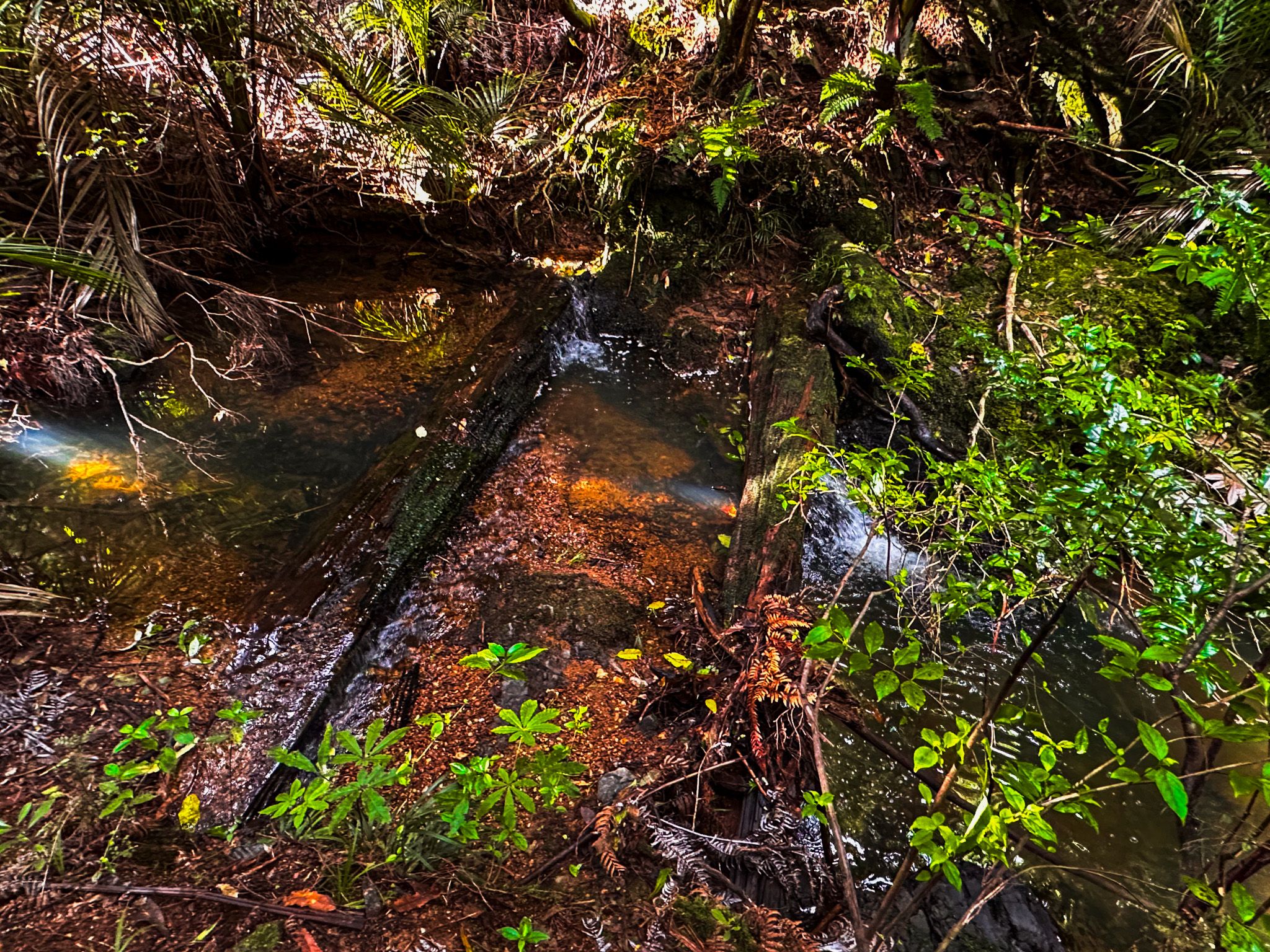
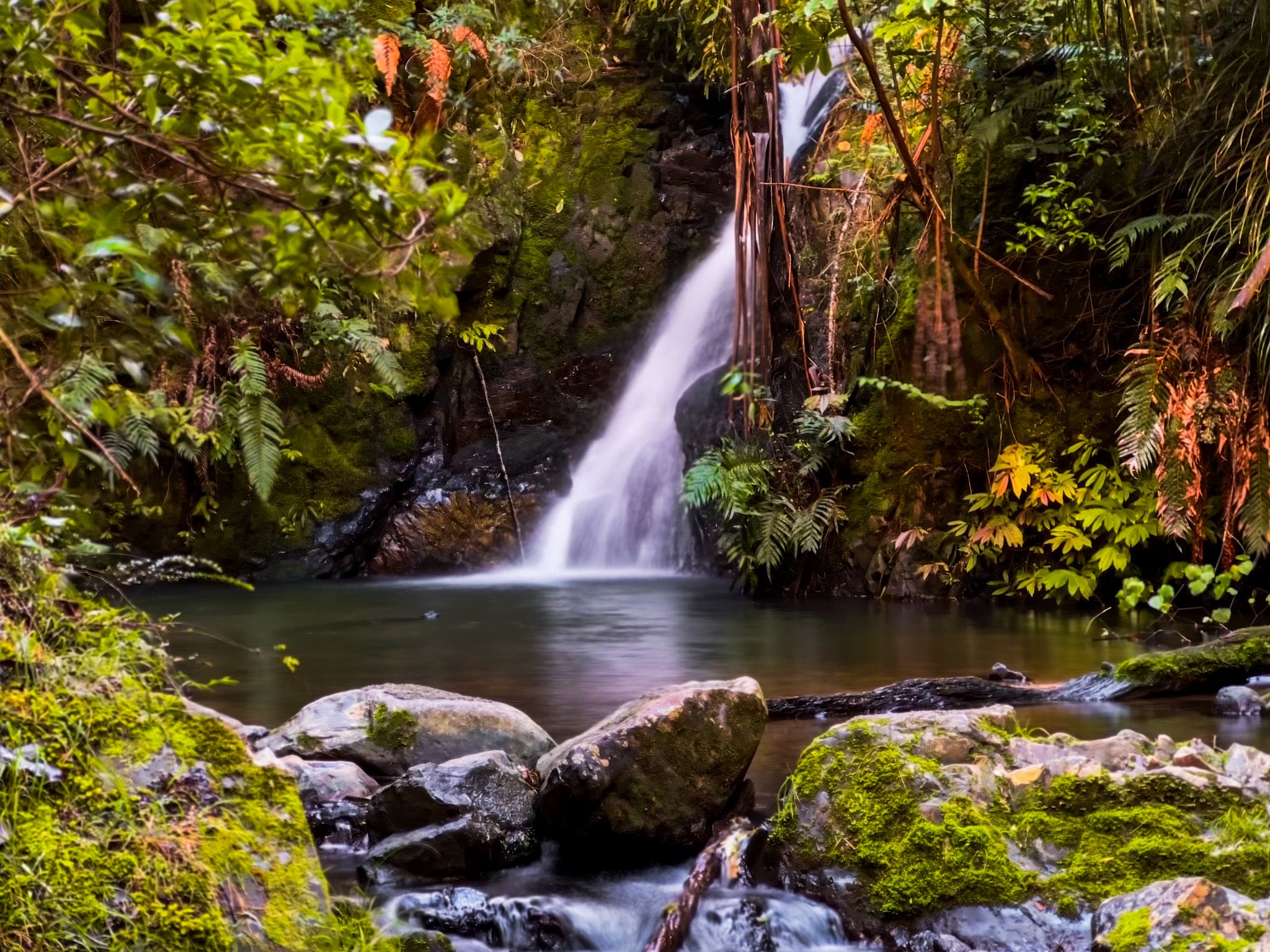
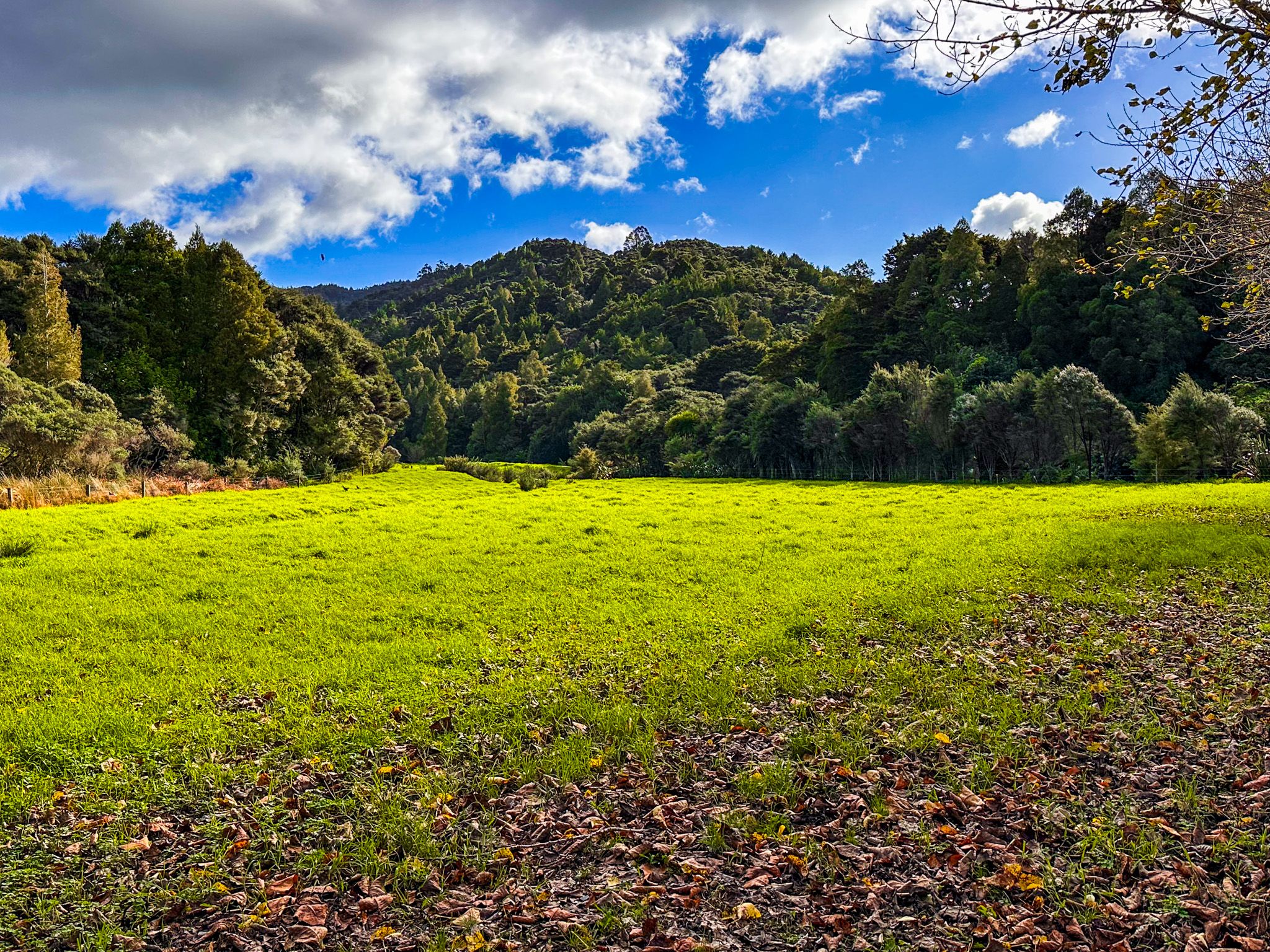
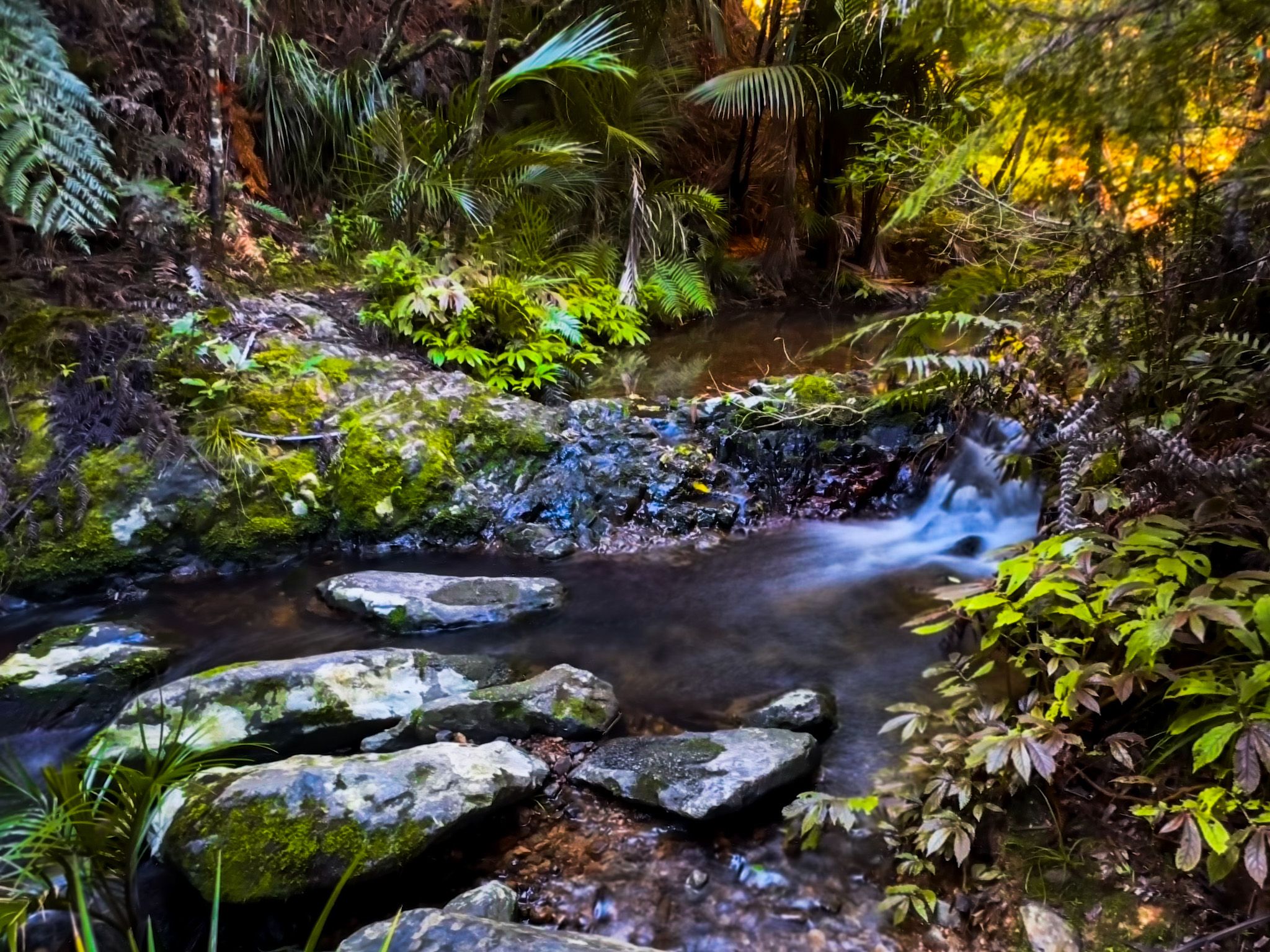
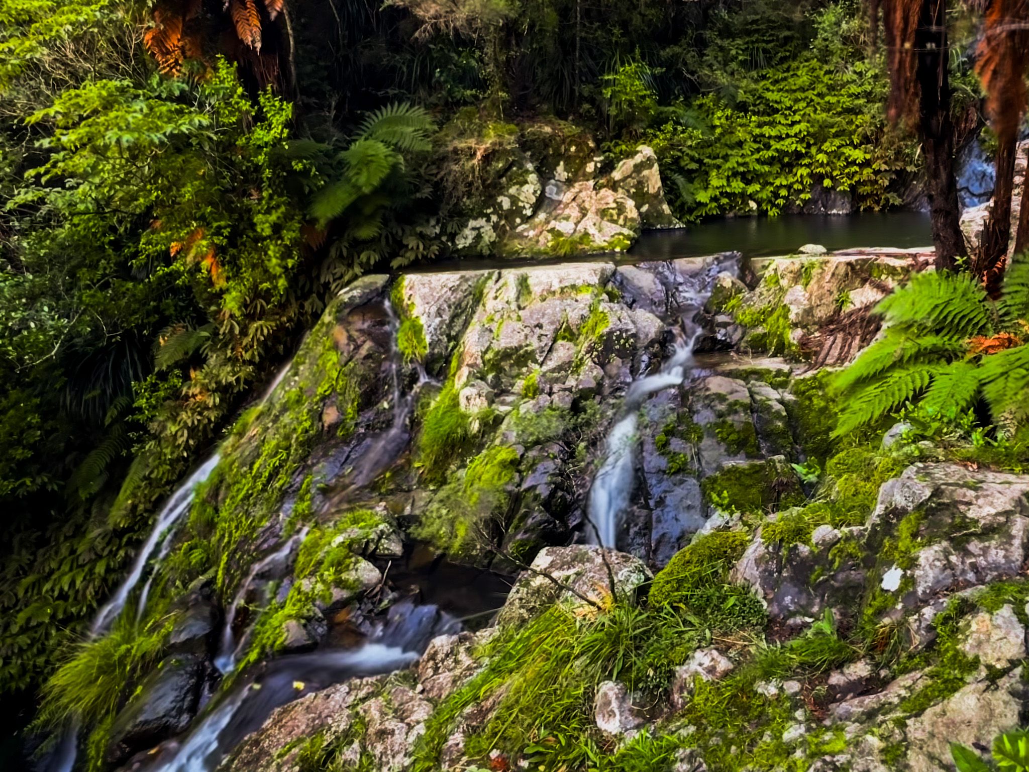
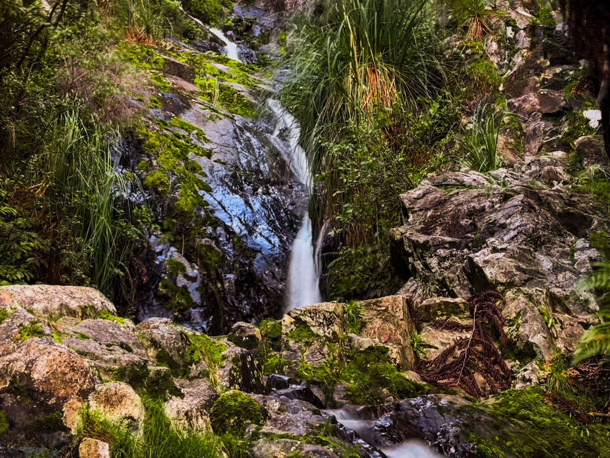
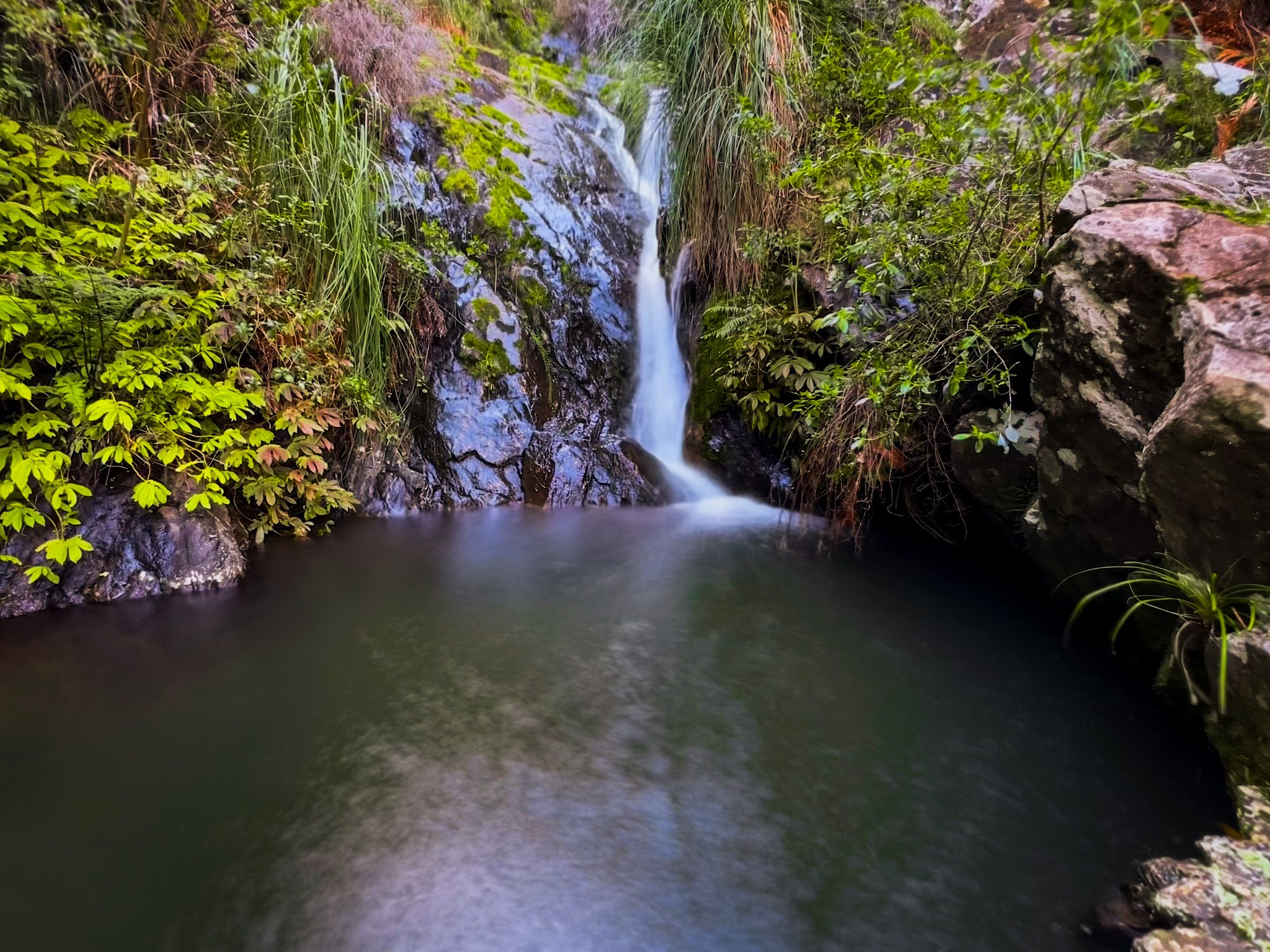
Along with the other tracks, it starts at the car park off Kings Road and follows a farm road to a path through paddocks, then crosses a swingbridge into the forest. This takes about 10 minutes. From here, the track follows a stream with several waterfalls, the tallest of which is around 25 metres high. The first waterfall is approximately a 40-minute walk, and the next two are located close together, another 10 minutes along the track. After that, it is 10 to 15 more minutes to the remnants of a kauri dam.
There are two further waterfalls beyond this, followed by a steep climb up to the Langsview Track / Te Araroa on the Brynderwyn Ridge. Overall, this adds another 30 minutes to the walk, bringing the total to 90 minutes.
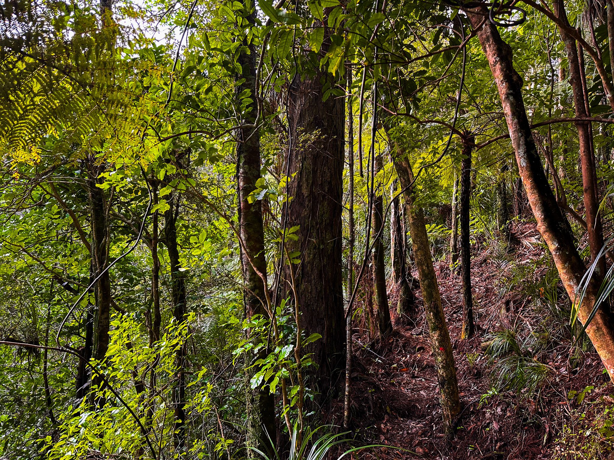
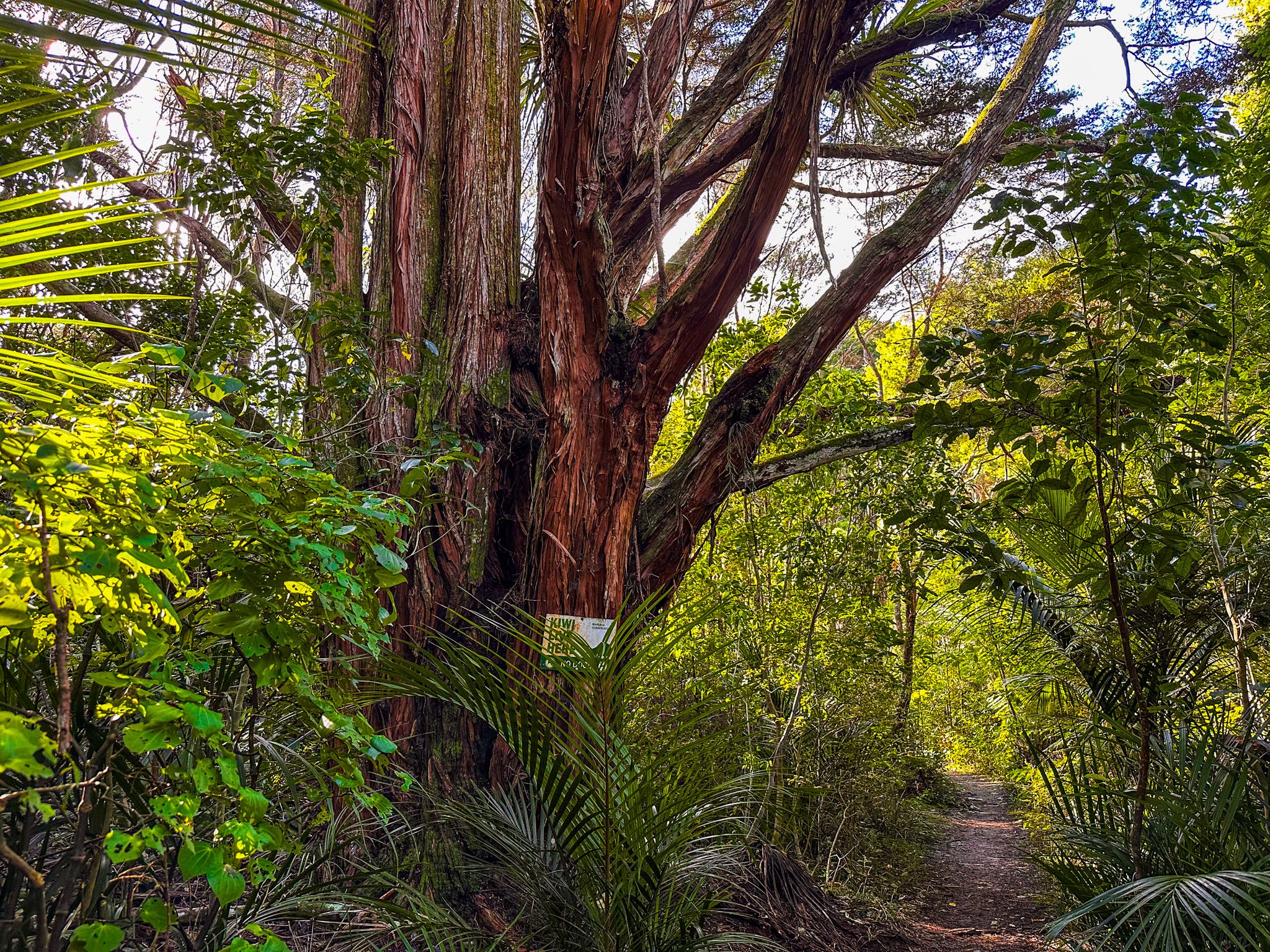
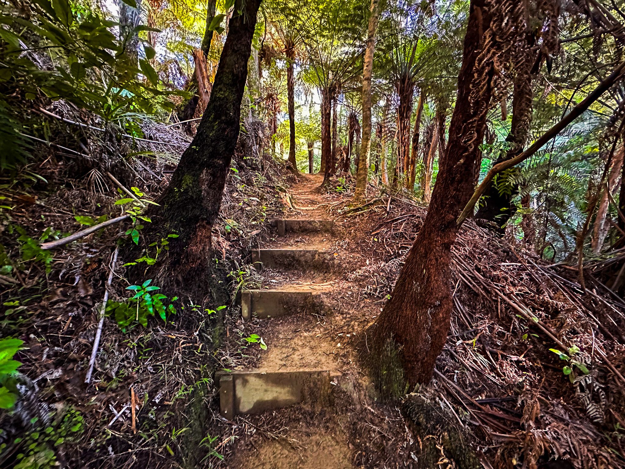
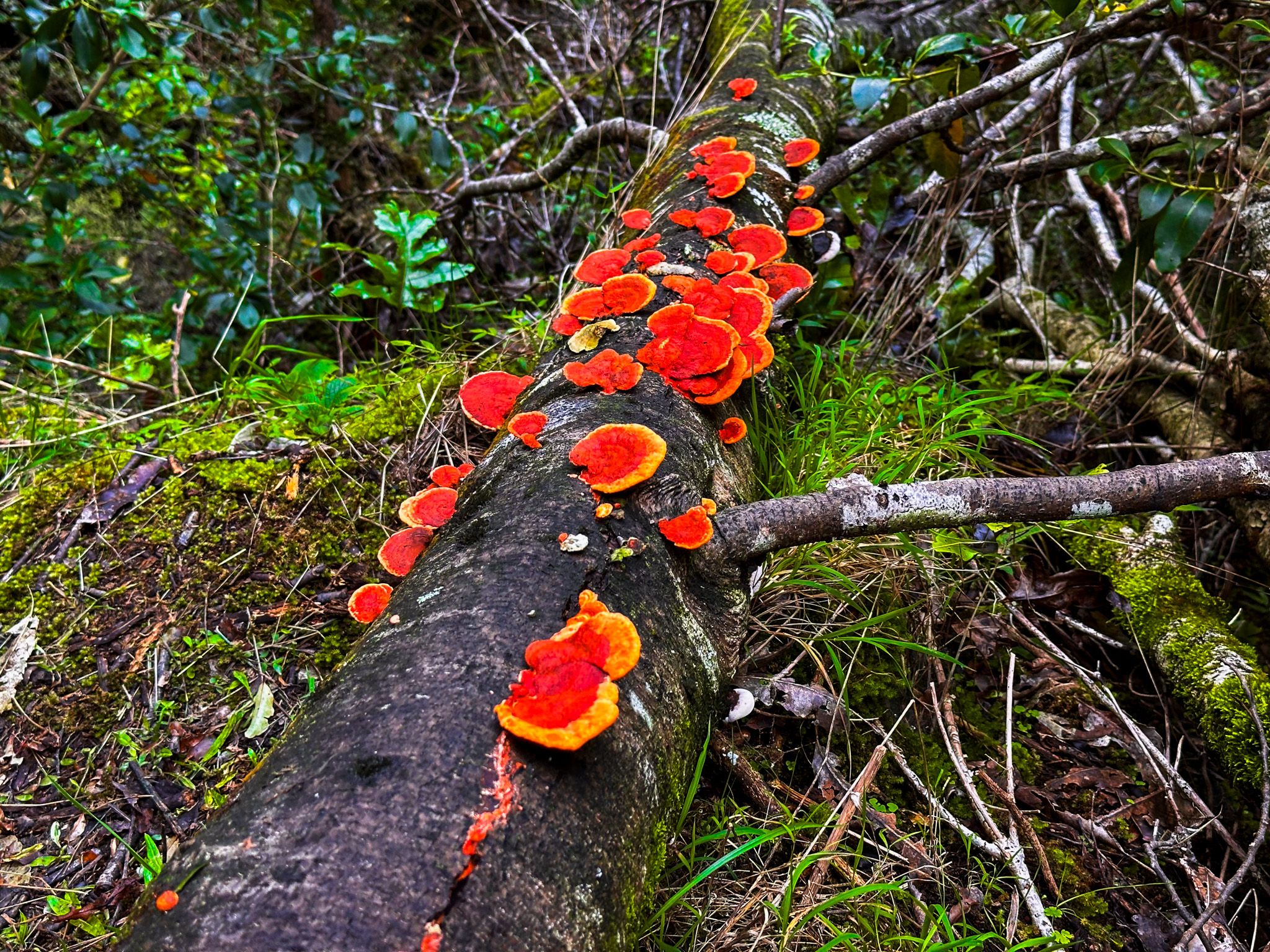
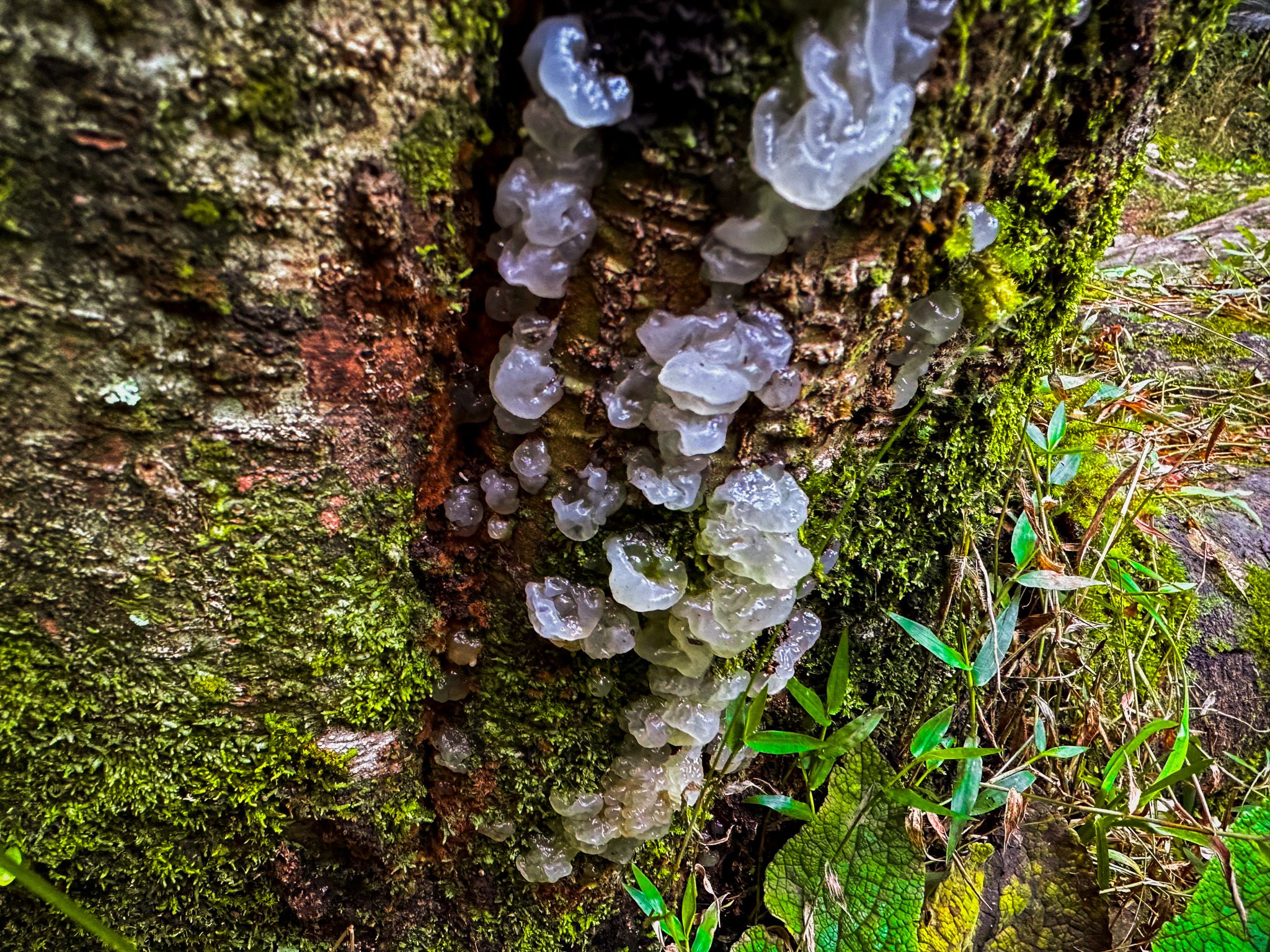
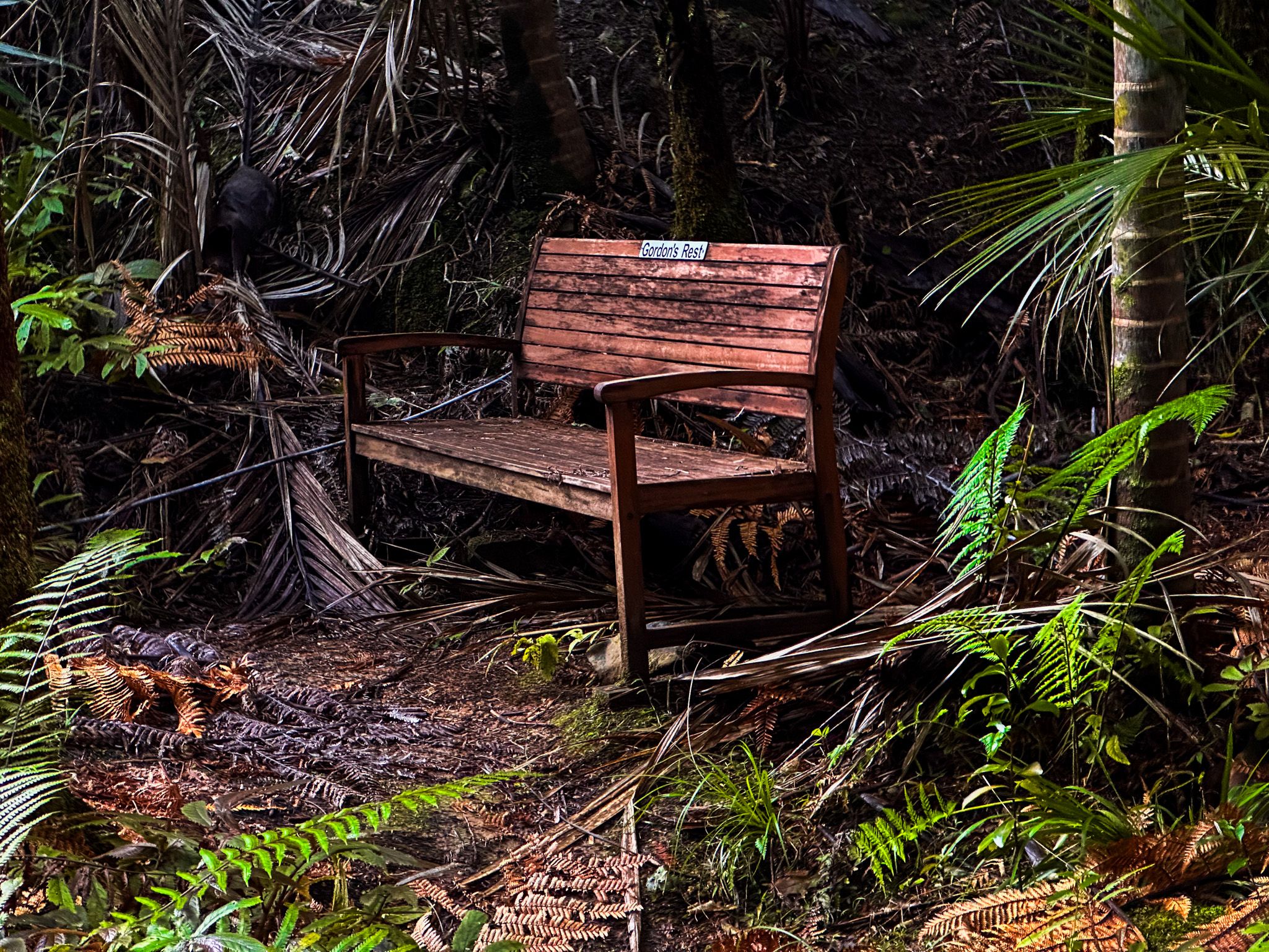
Tanekaha Falls Track is a rough tramping track in places, through a beautiful, jungle-like forest. There is some mud, generally easy stream crossings, and rough steps on steep climbs. The track mostly follows the stream until near the end, although it rises significantly above the stream in places, with significant drops.
Loop Track Options
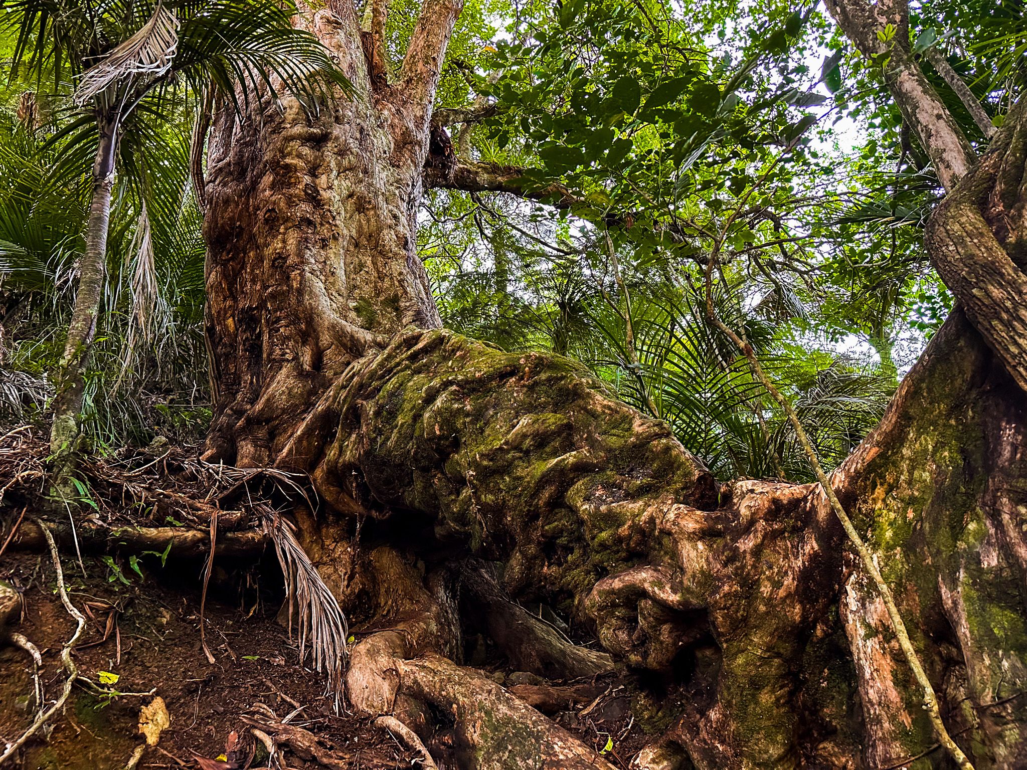
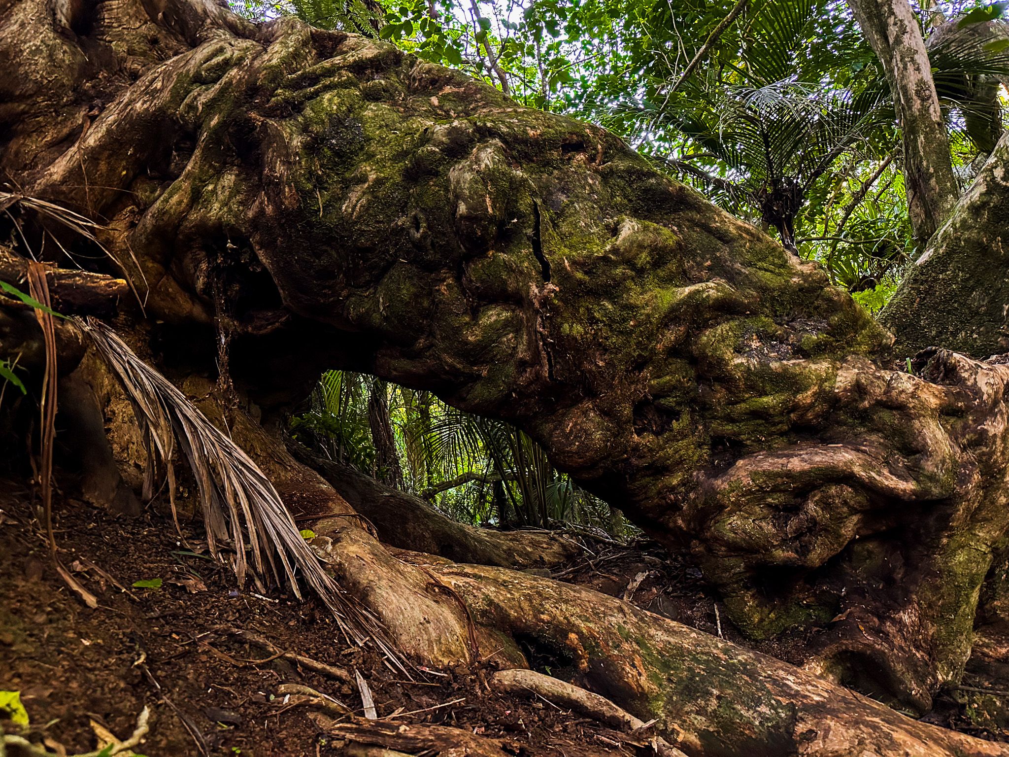
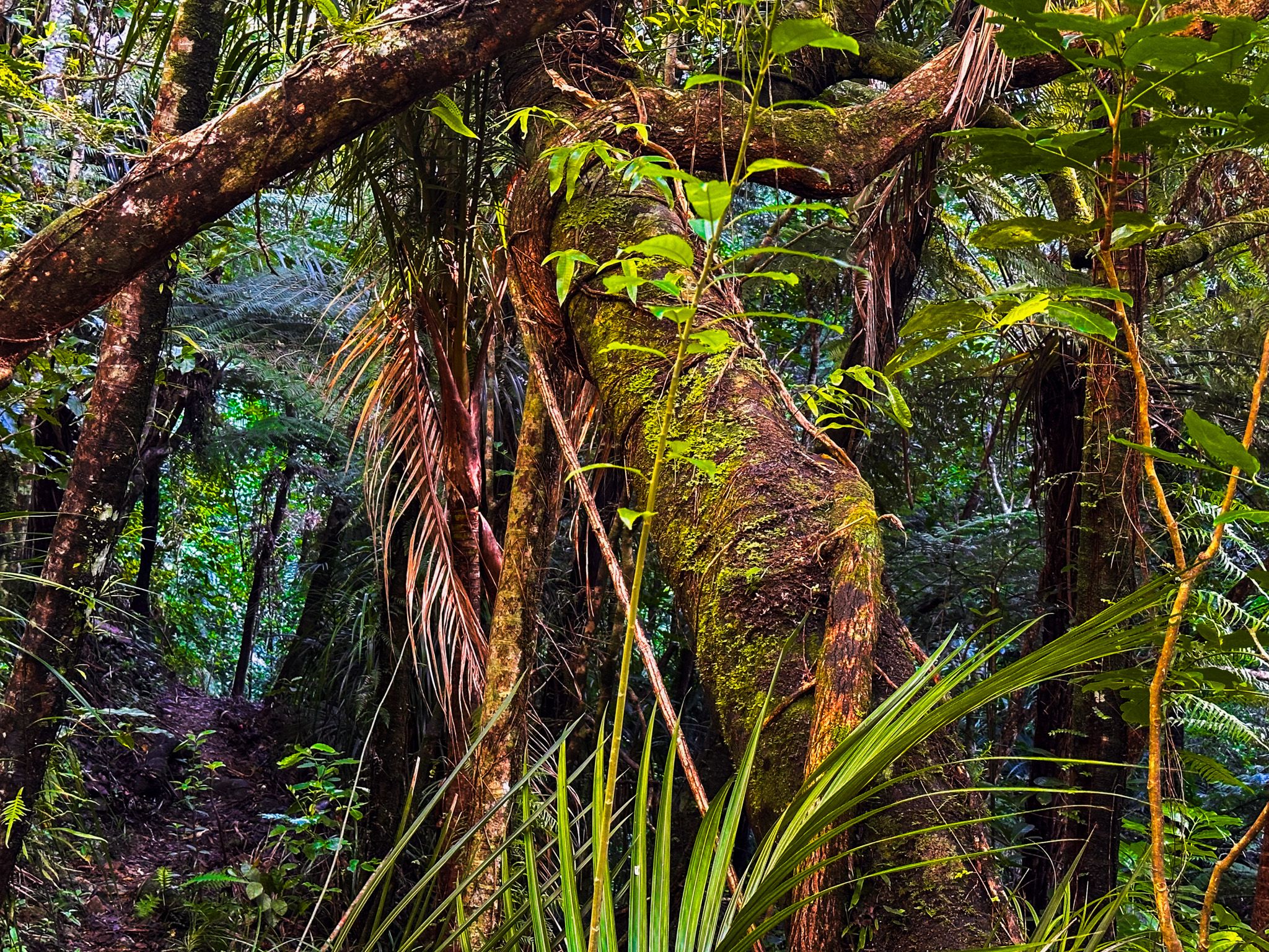
Along the way, there are options to create loops with other tracks. One of these tracks, the Tanekaha Puriri Track, leads to two extraordinary, big and gnarled puriri trees, over 1,000 years old and one of which may be the largest in the country. The first intersection with the Puriri Track is located before the first waterfall, and the second intersection is situated after the third waterfall, just south of the kauri dam.
The Langsview Track is a section of Te Araroa that eventually links to the Mangawhai Walkway section of Te Araroa. From the intersection with the Tanekaha Falls Track, you can walk east for approximately an hour to reach the intersection with the Old Brynderwyn Walkway and the Tanekaha Forest Track. From there, it is another hour to return to the car park.
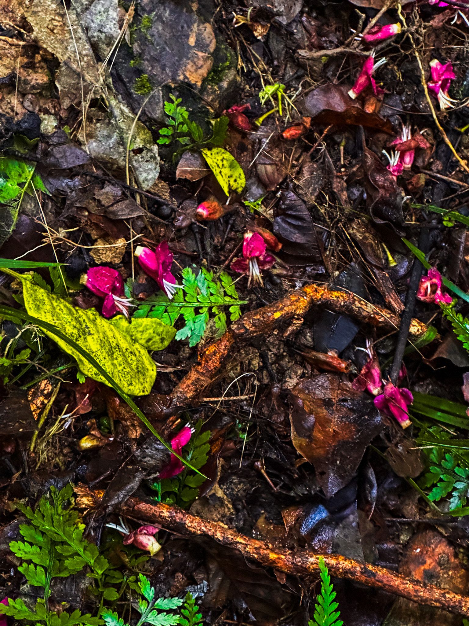
There is also the Botanical Track, which forms a loop with the Tanekaha Falls Track and the Tanekaha Forest Track. It takes approximately 2 hours and features a diverse array of native plant species.
History and Culture
The name Tanekaha refers to the dominant native tree in the forest, prized by Māori for its tough, flexible timber and used in fishing lines and construction. The kauri dam remains are relics from the area’s logging history, when timber was floated downstream for milling. The forest is now a kiwi protection zone, part of a broader conservation effort in the Brynderwyn Hills.
Getting There
From Auckland, take SH1 to Te Hana, turn east to Mangawhai, then inland to King Road. Follow the driveway to the car park at the end. All walks start from the King Road car park.
Combine your walk with a visit to Langsview Track for ridge-top views, or descend to the coast at Waipū Cove or Mangawhai Heads Beach for a swim.