Discover the Mangawhai Walkway
Located on the stunning Northland coast of the North Island, the Mangawhai Walkway is a captivating coastal track that stretches from Paepae-o-Tū / Bream Tail in the north to the southern end of Mangawhai Heads Beach. This track is also part of Te Araroa as it continues south towards Te Ārai and Pākiri Beach. The Mangawhai Walkway is renowned for its breathtaking coastal views and landscapes.
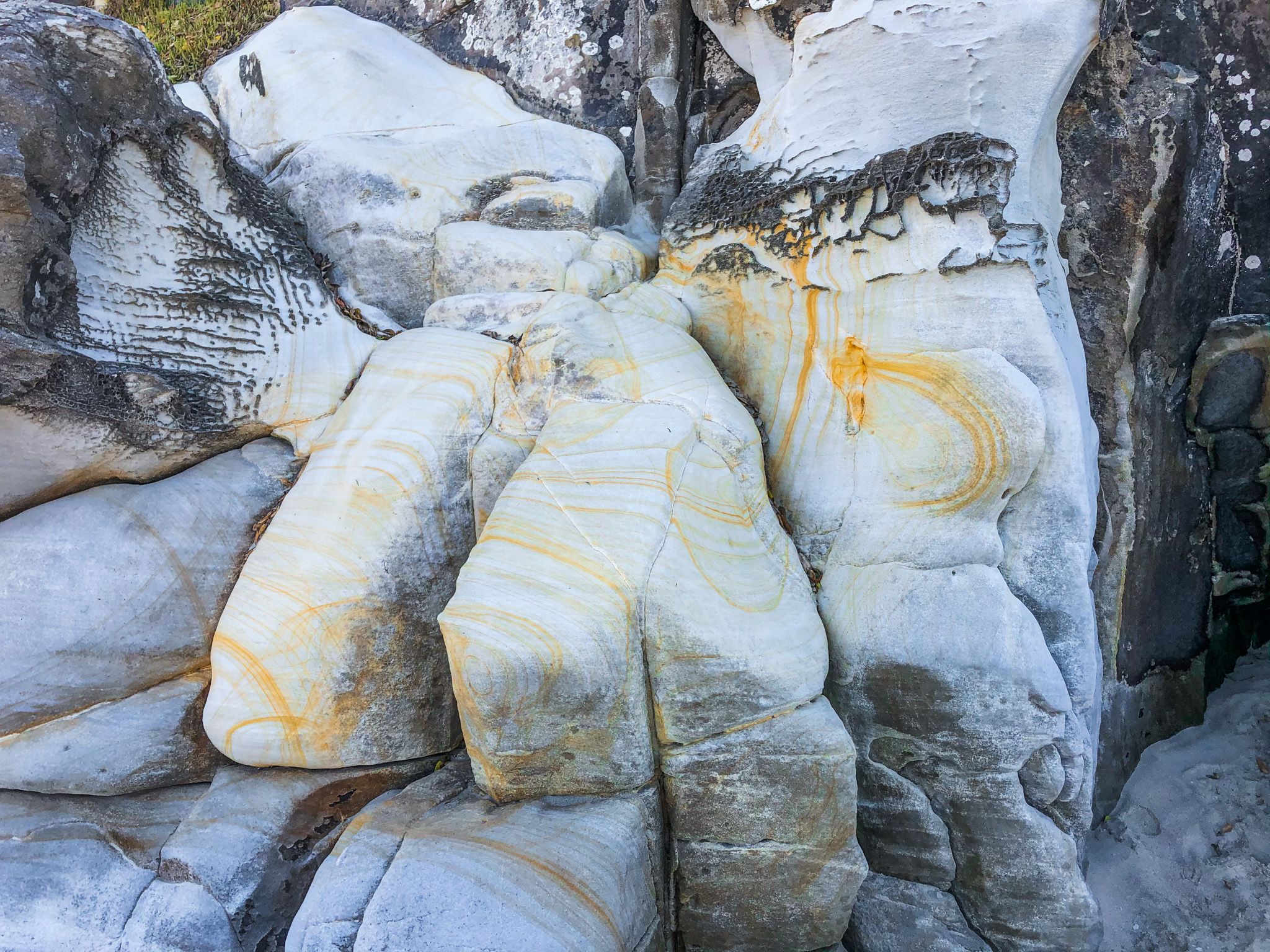
Exploring the Track
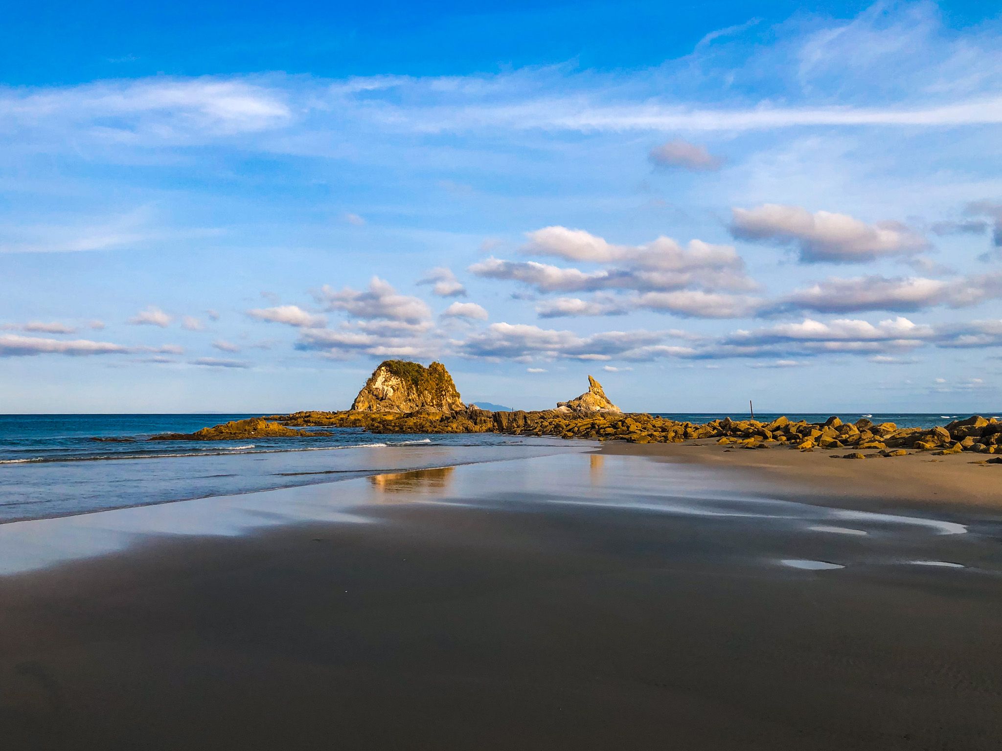
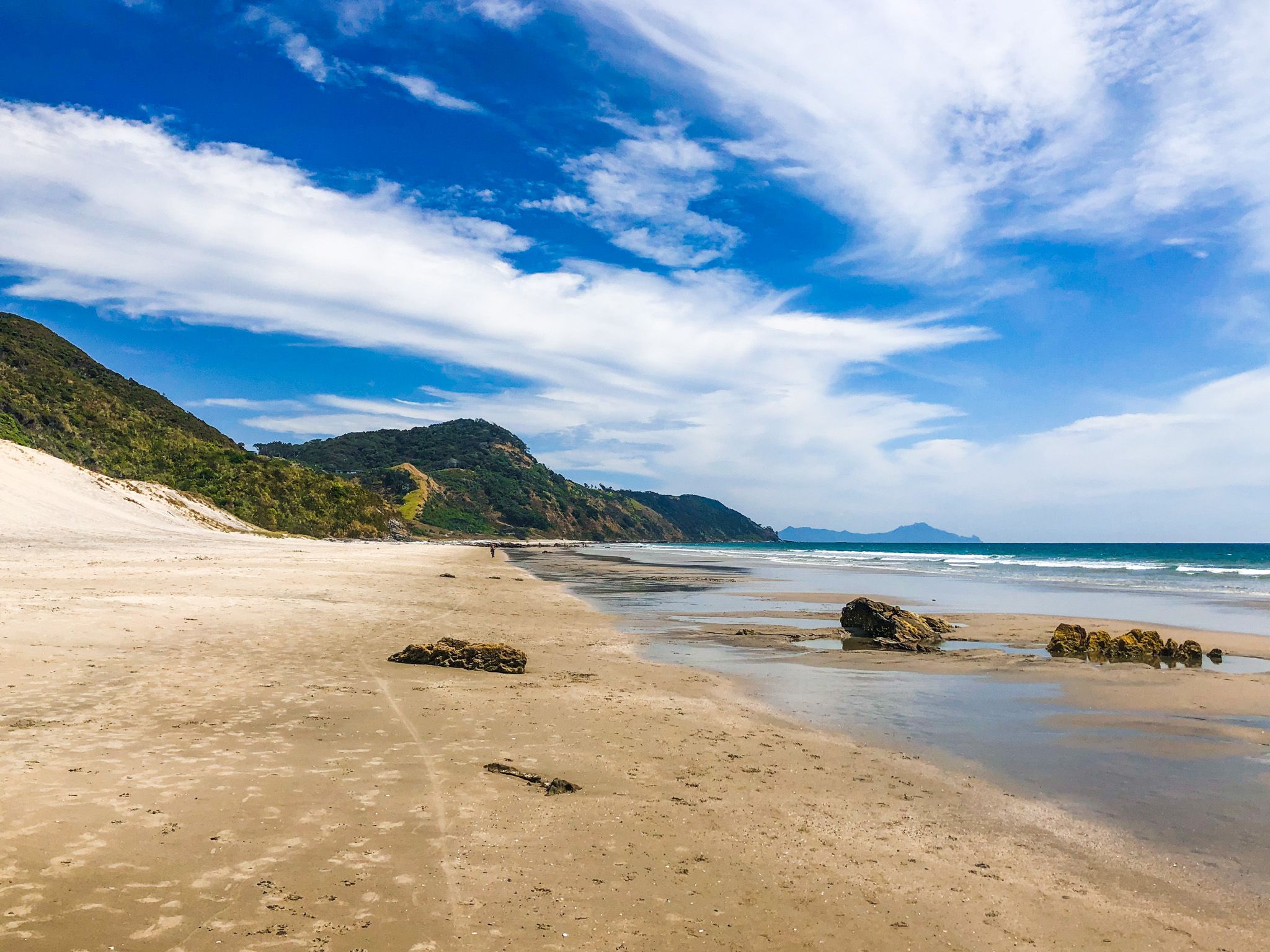
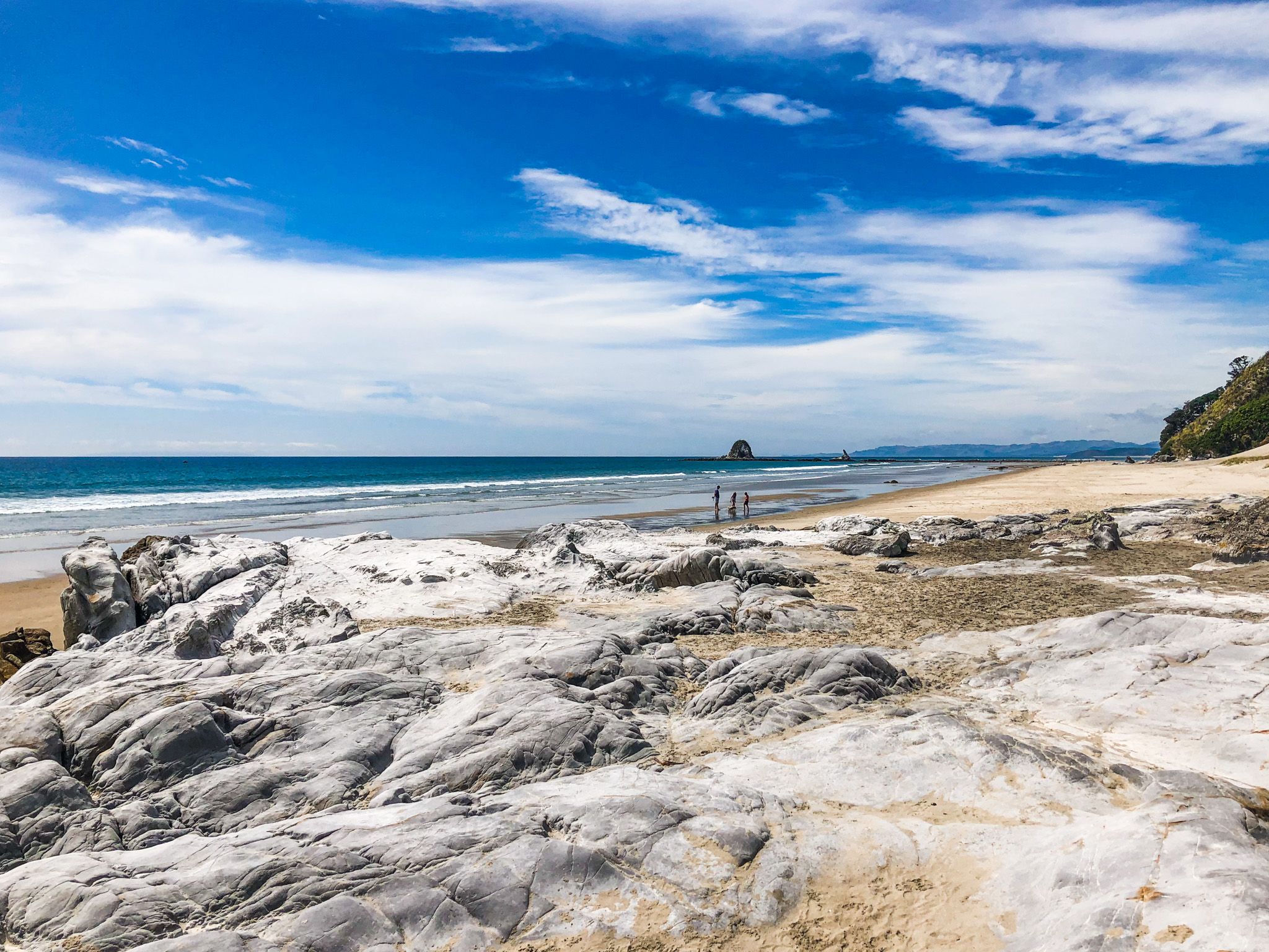
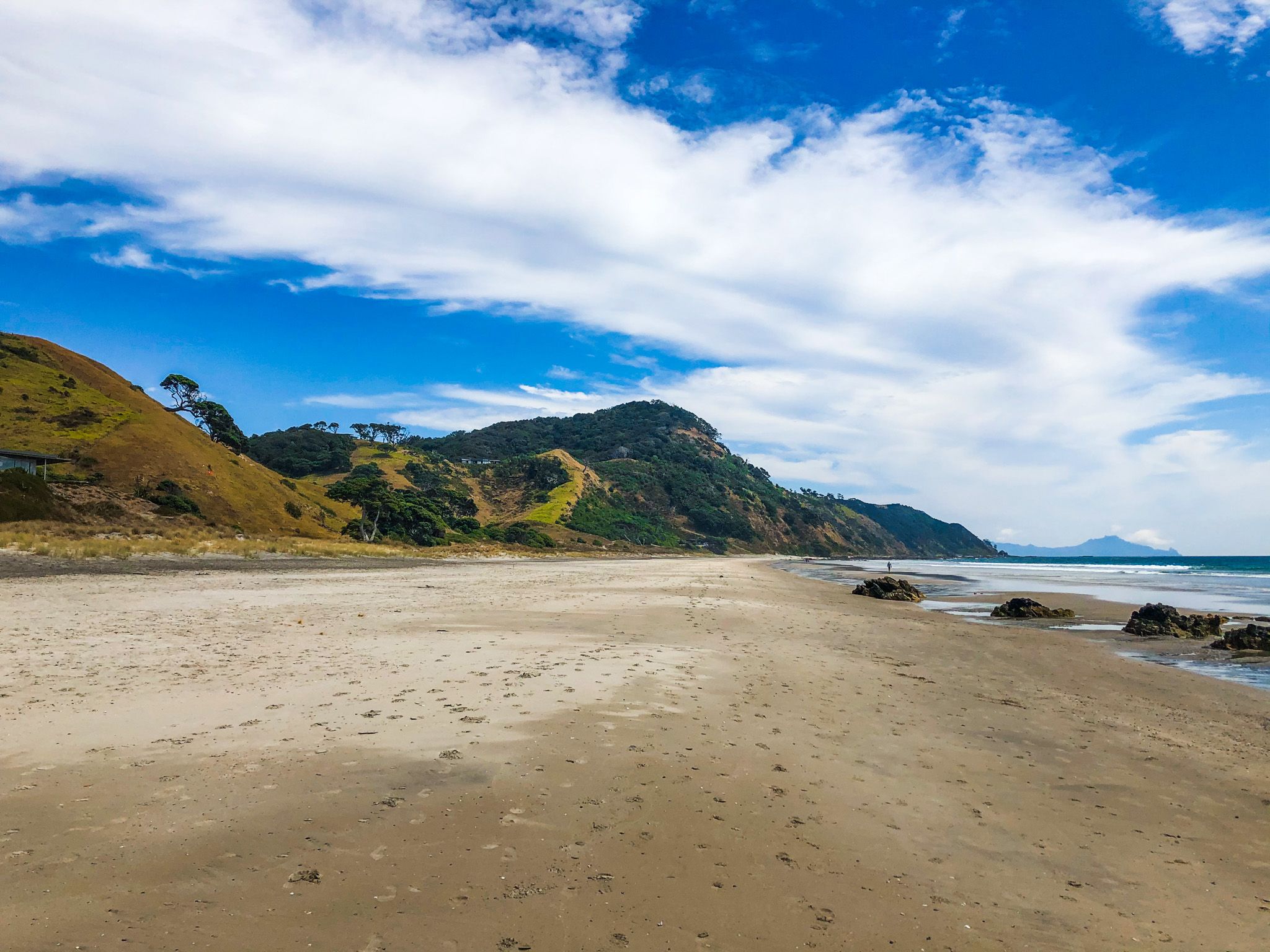
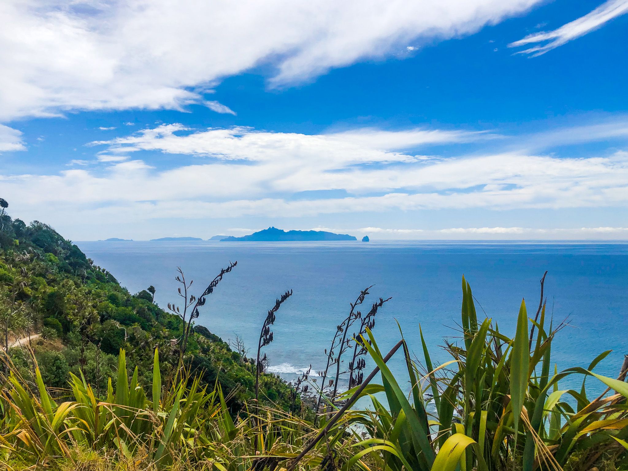
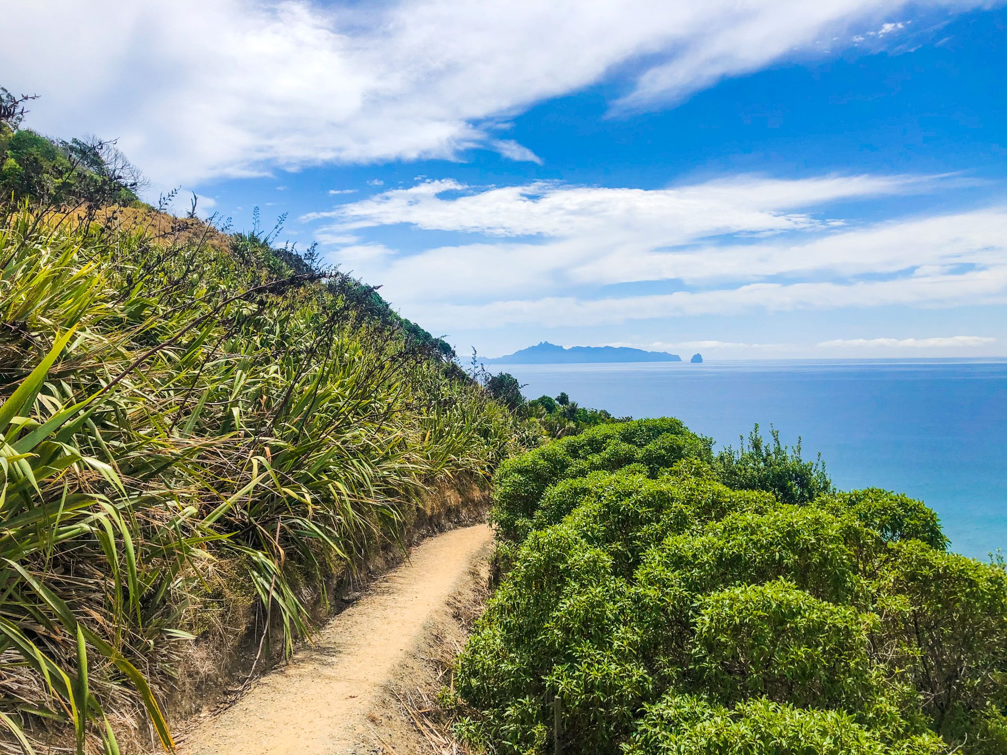
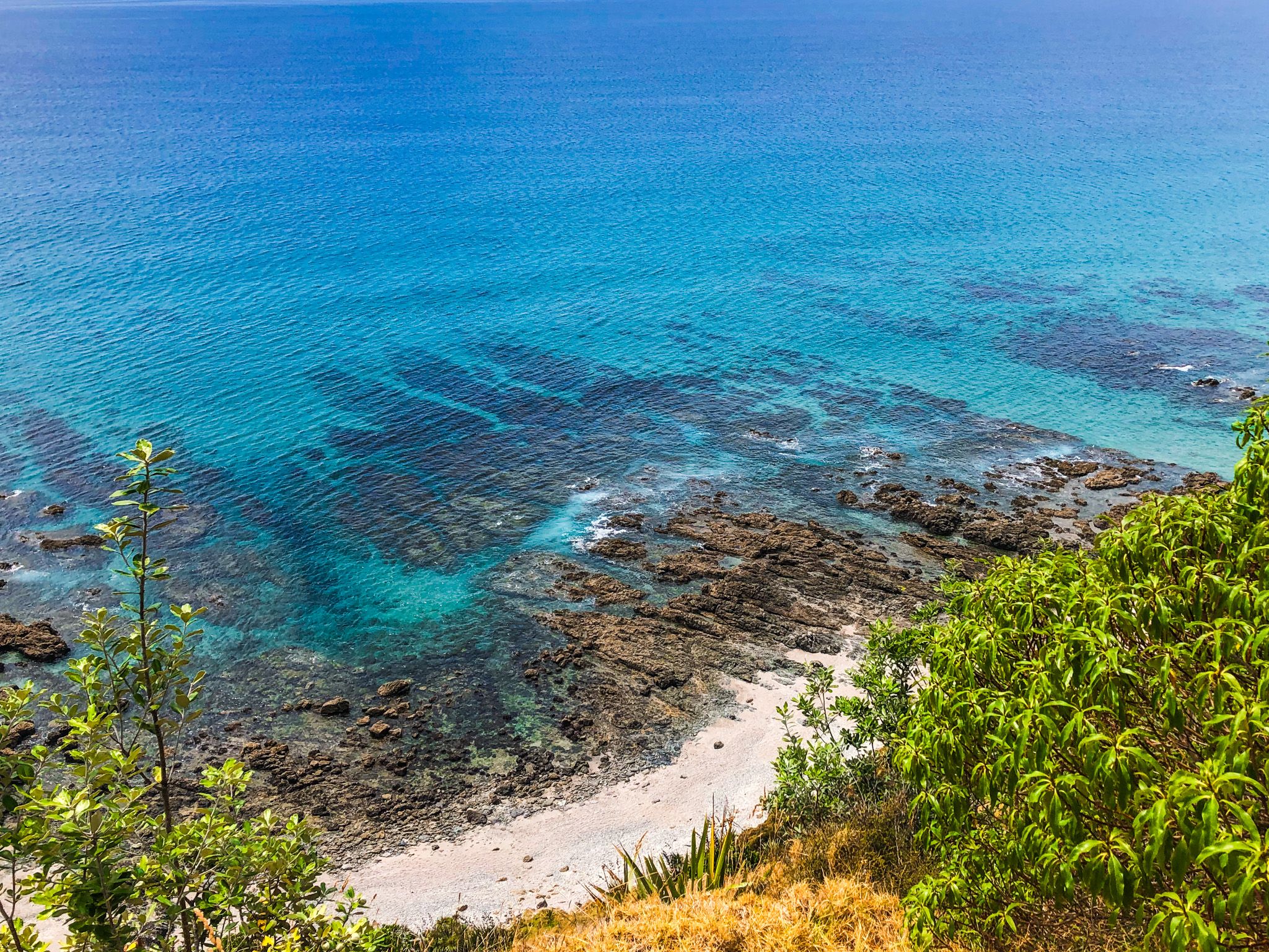
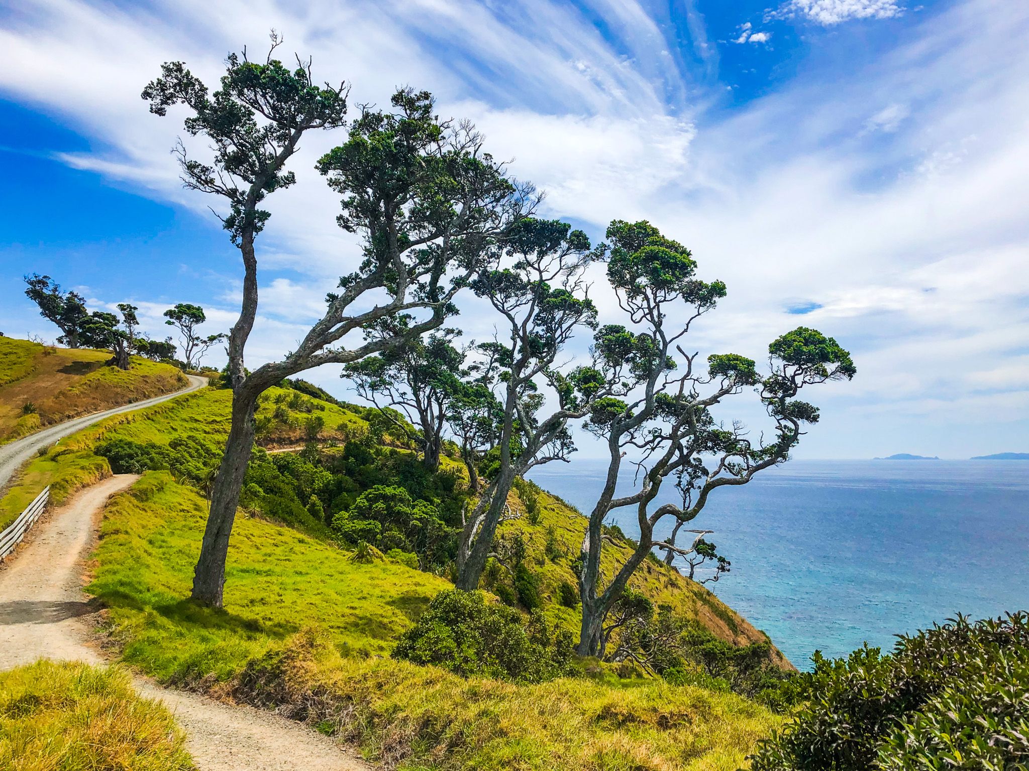
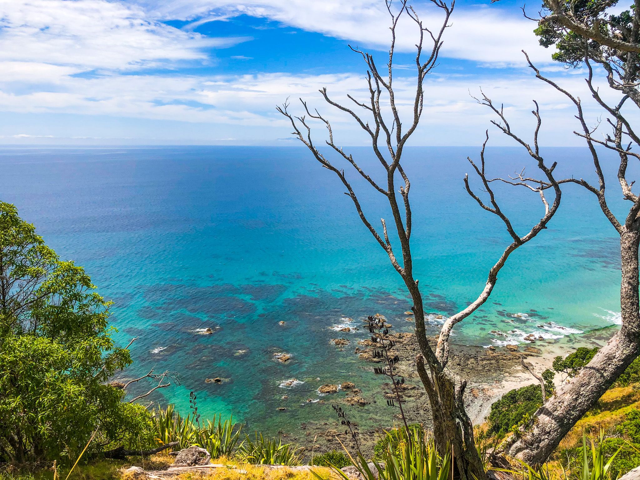
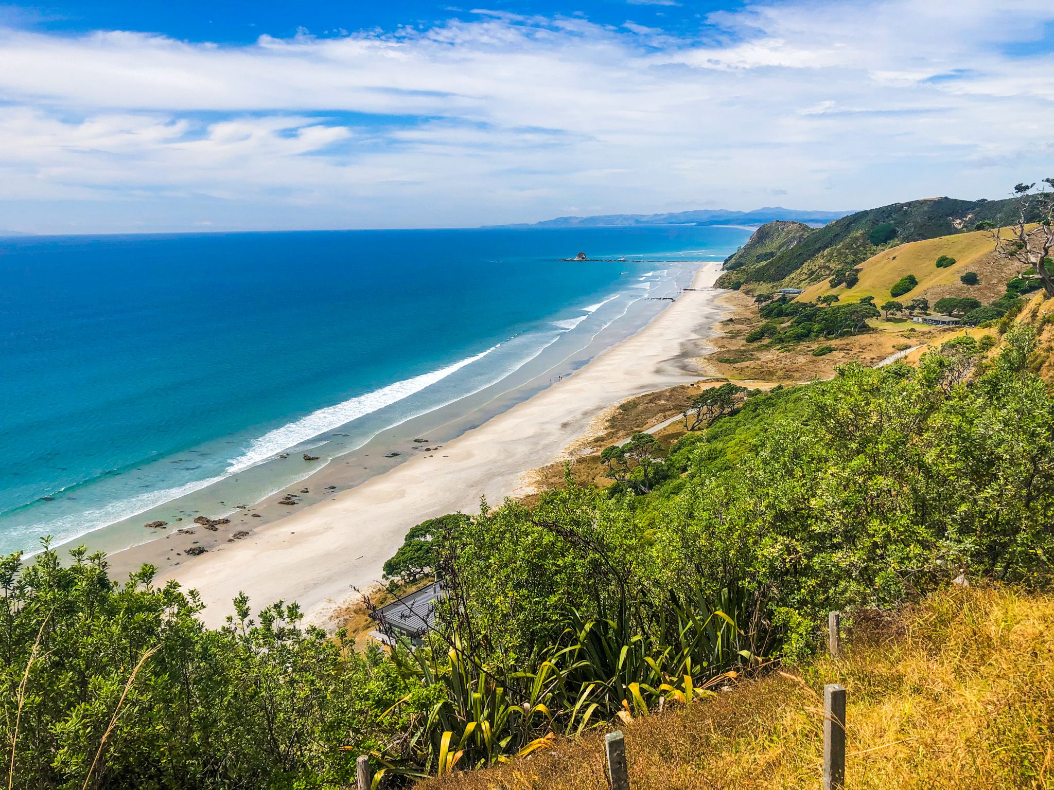
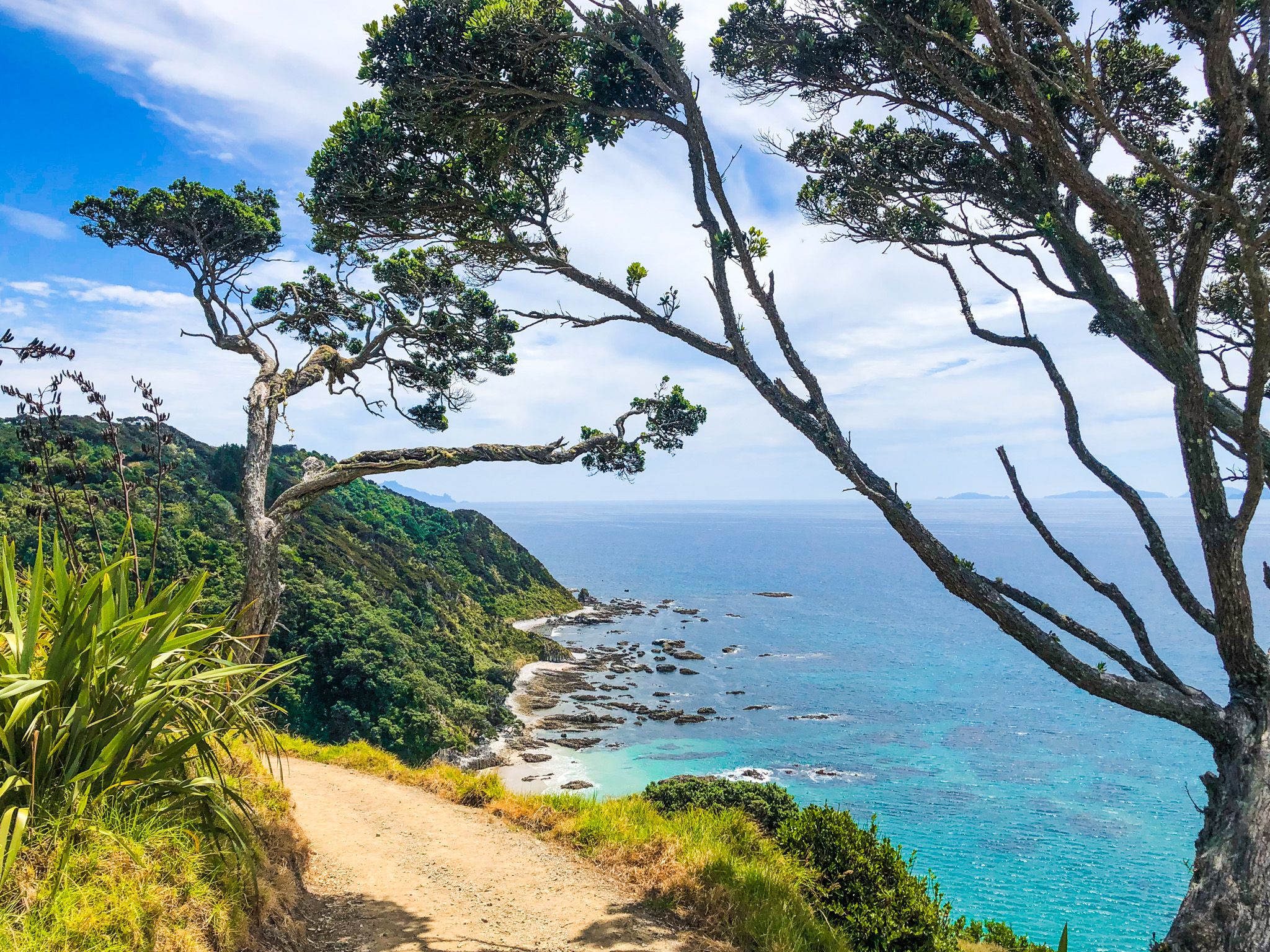
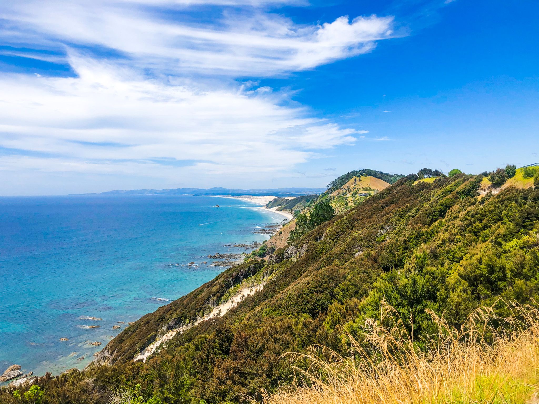
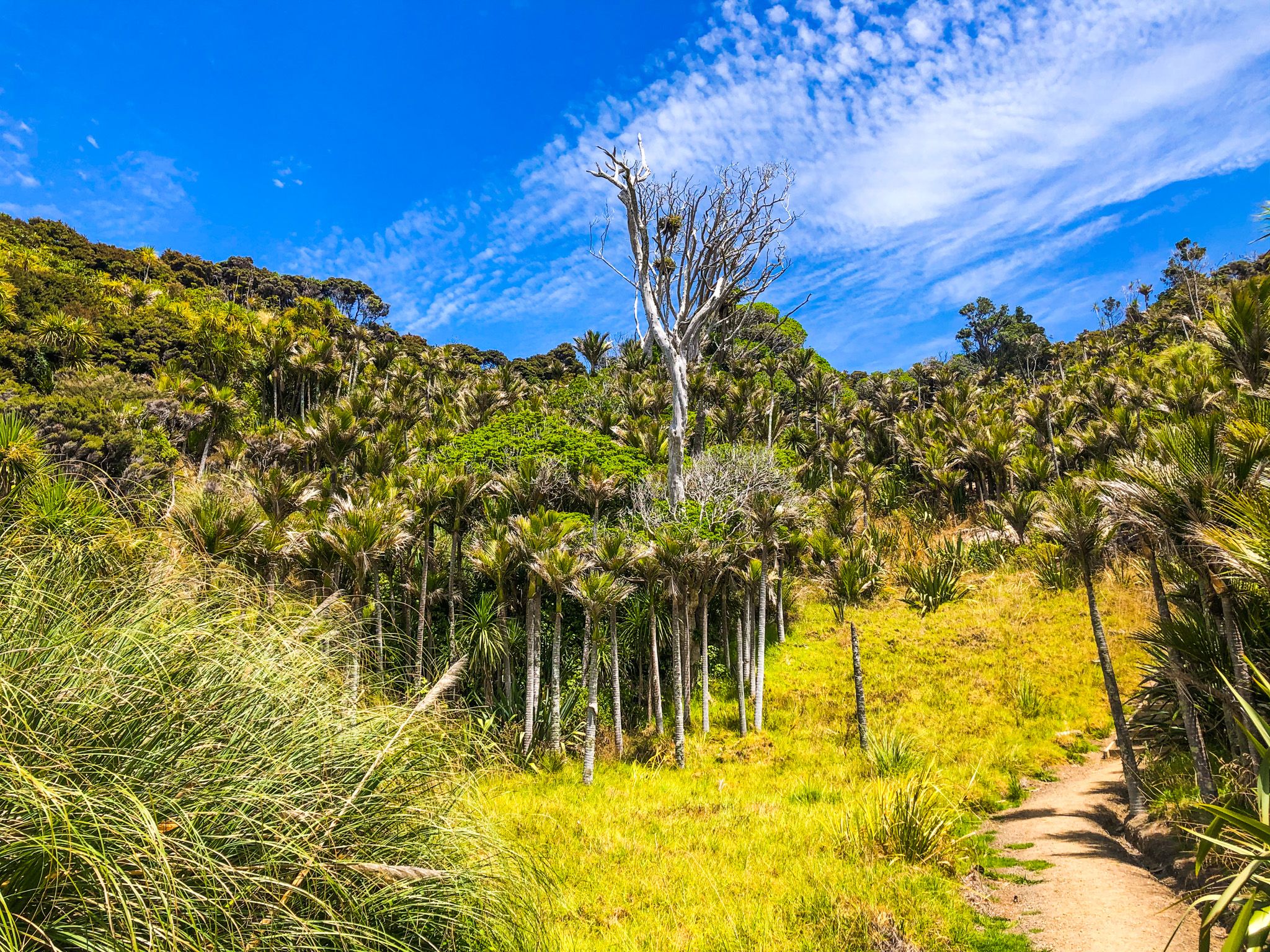
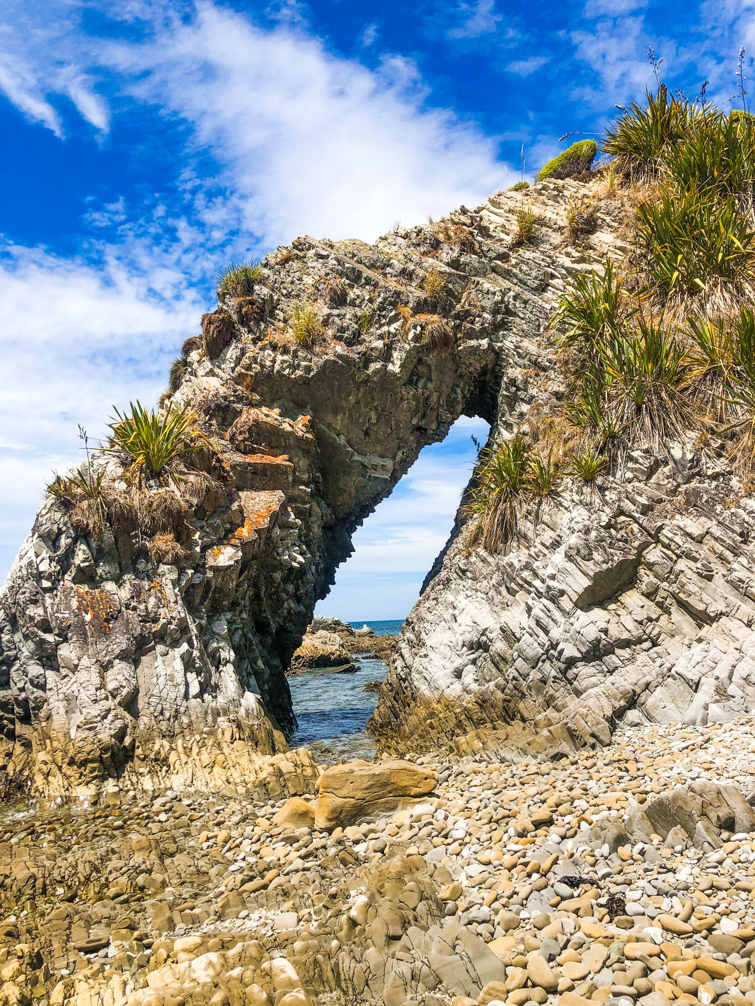
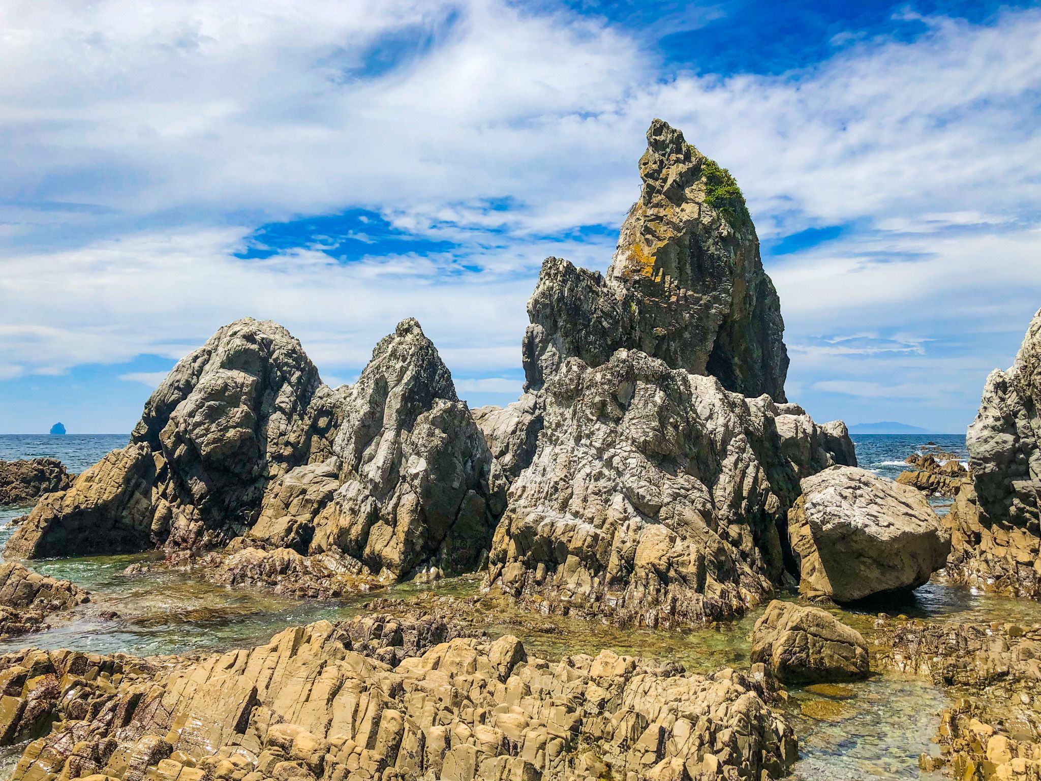
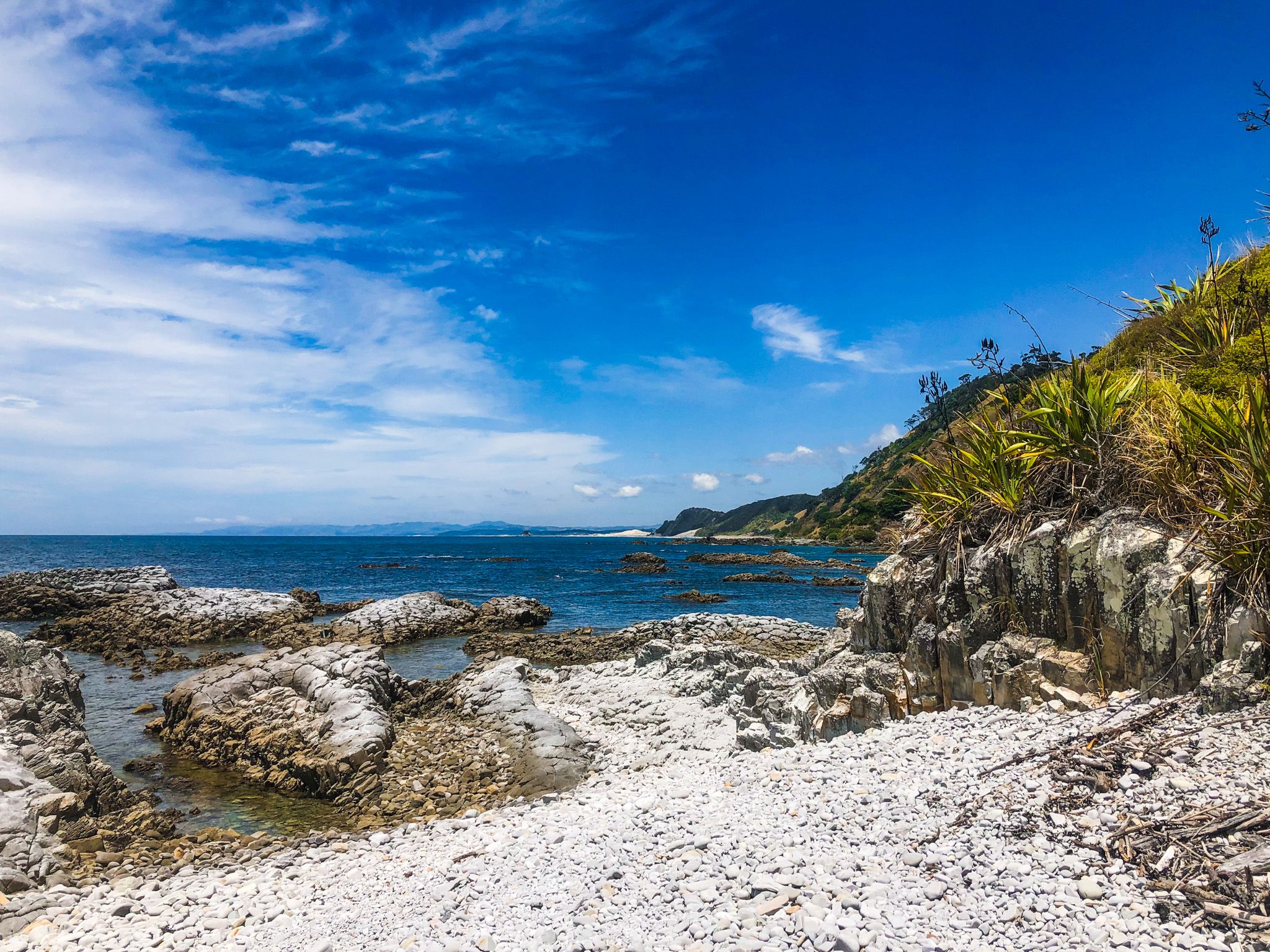
The Mangawhai Walkway can be enjoyed as a loop, offering diverse views of both cliff-top views and coastal tide-line activities. The journey begins on the beach and involves a steep 20-minute ascent to a lookout point. From this vantage, approximately 100 metres above the coastline, you can enjoy panoramic views of the Coromandel Peninsula and Aotea Great Barrier Island.
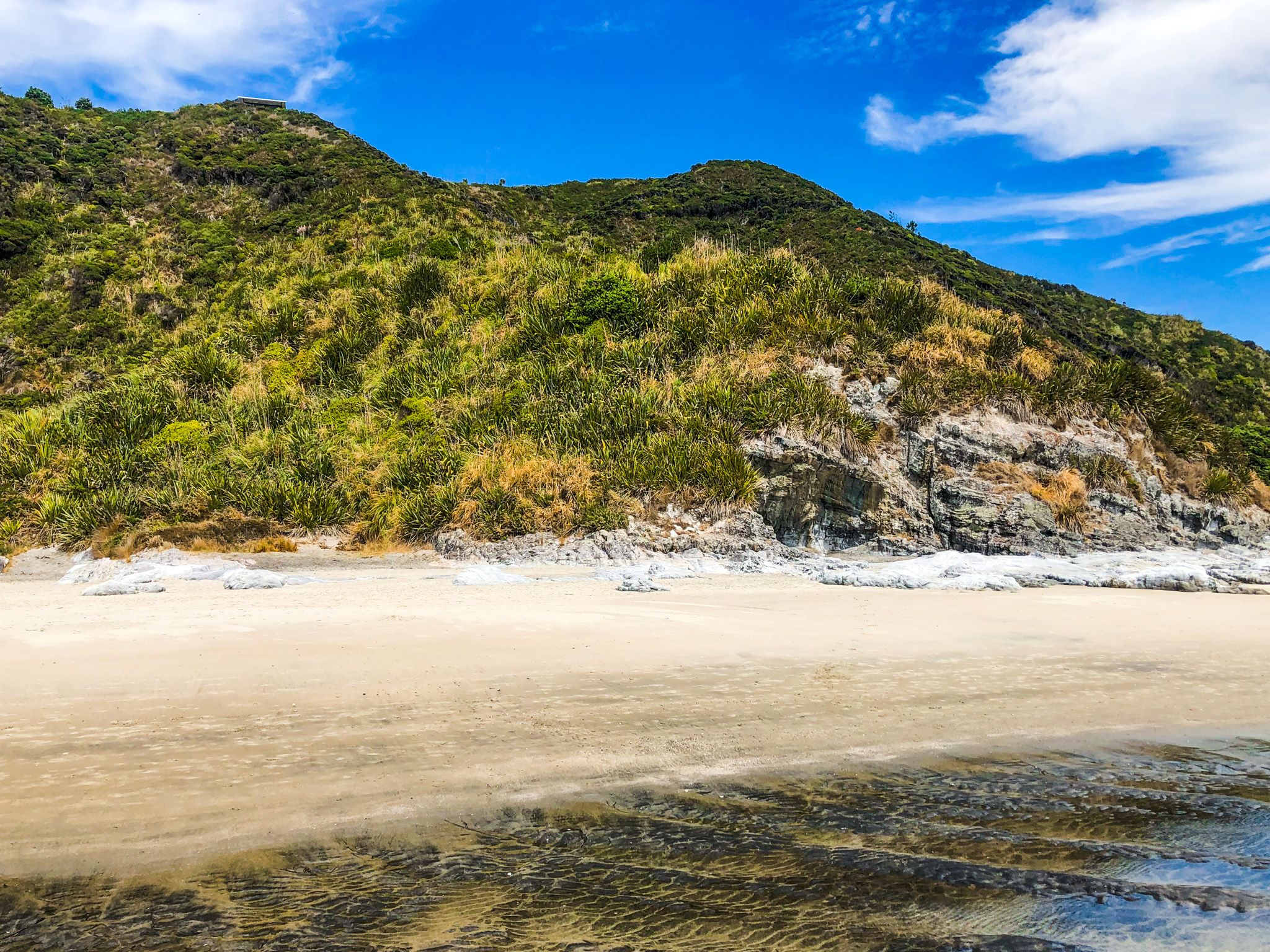
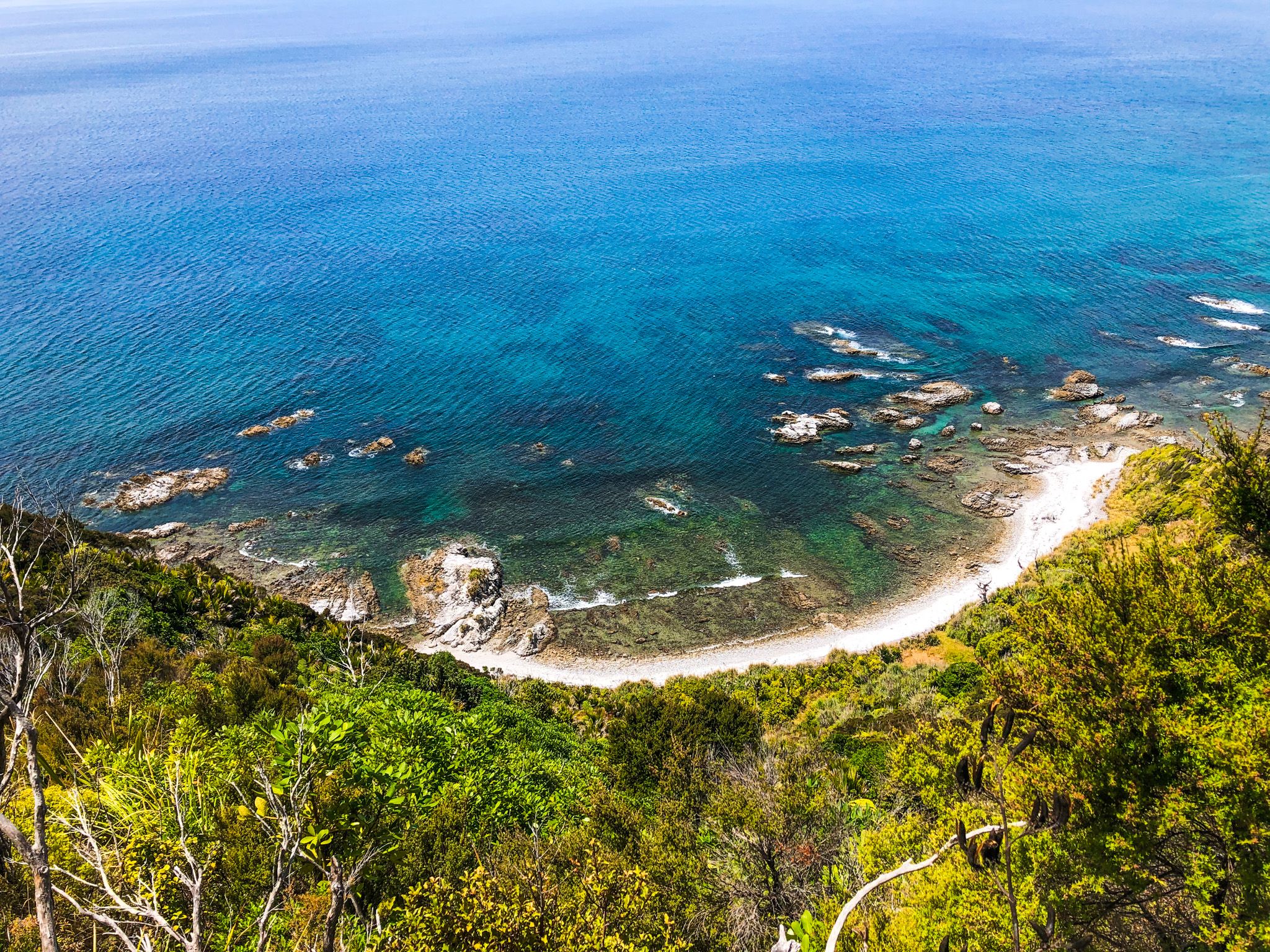
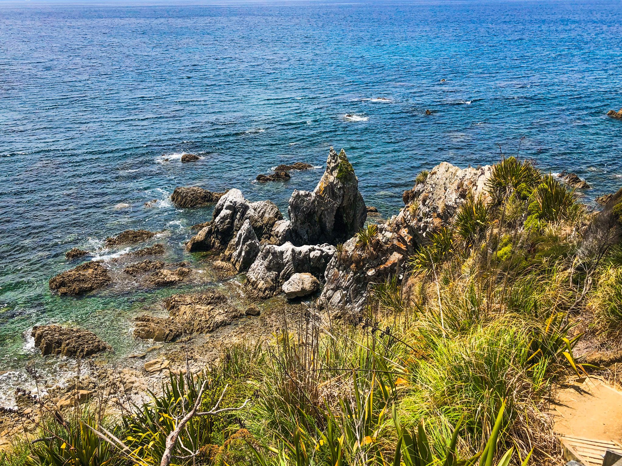
The path then follows the cliff edge, passing ancient pōhutukawa trees, before descending to the rocky coastline below. On the return leg to the beach, the natural arch is a notable highlight. The entire track spans 9 km and typically takes between 2 to 3 hours to complete. The climb to the cliff top is moderately steep and includes numerous steps.
Historical Significance
The area holds significant historical value, with the local iwi, Te Uri O Hau, believed to have arrived in Mangawhai on the ocean-going waka, Mahuhu Ki Te Rangi, around 1250. In the 1800s, the rangatira Te Whai lived in the area known as Manga, meaning "where the rivers meet." This name evolved into Manga-Te-Whai, which has since been shortened to Mangawhai.
How to Get There
To reach Mangawhai, the quickest route is from Kaiwaka via State Highway 1, continuing on Kaiwaka Mangawhai Road. The southern end of the track is accessible from the Kaipara District Council car park near the Surf Life Saving Club at the end of Wintle Street. Alternatively, you can start from the north end of the track, accessible from the west end of Bream Tail Road and Te Araroa.
To the south, you can explore other scenic spots such as Te Ārai and Pākiri Beach, and to the north are Langs Beach, Waipū Cove and Waipū. Another wonderful walking option in the region is the Tanekaha Falls Track.