Discover Langs Beach on Bream Bay
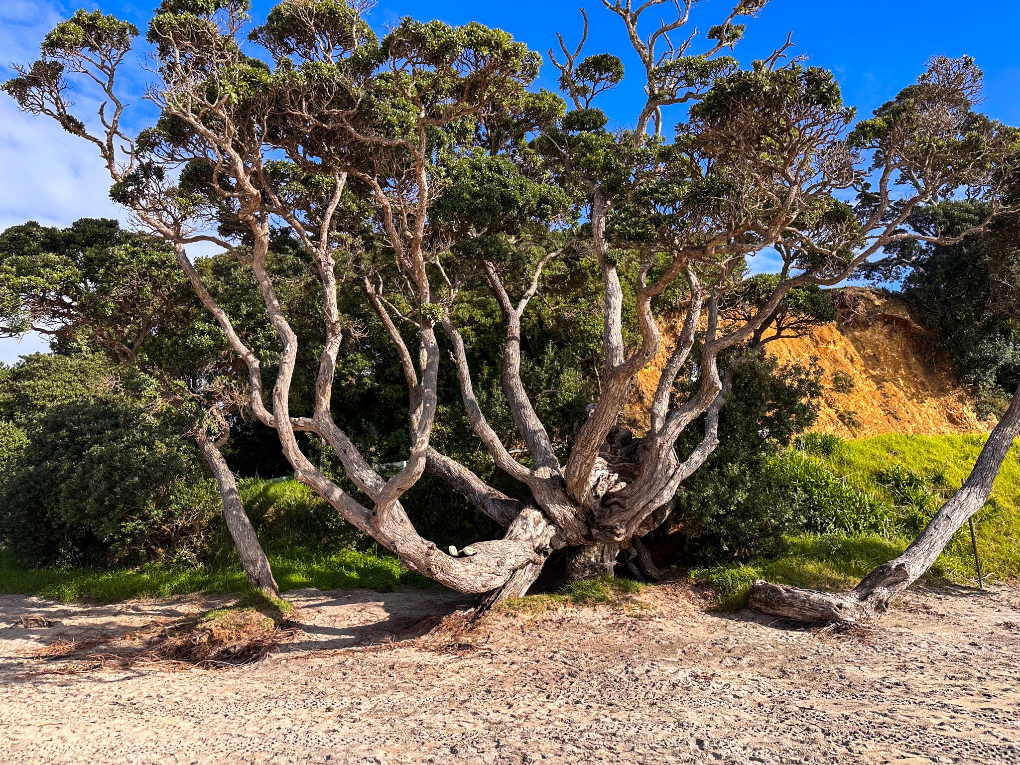
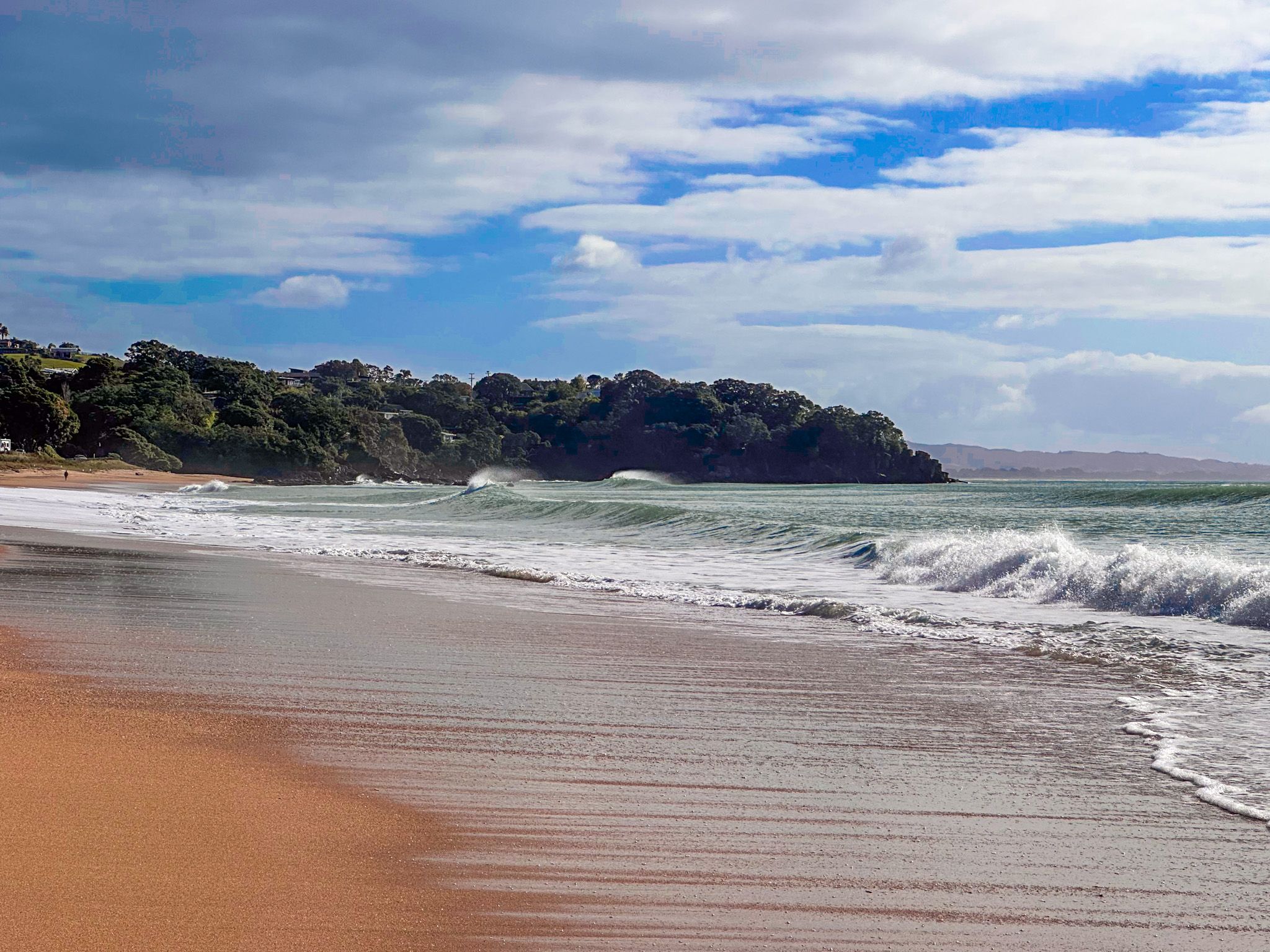
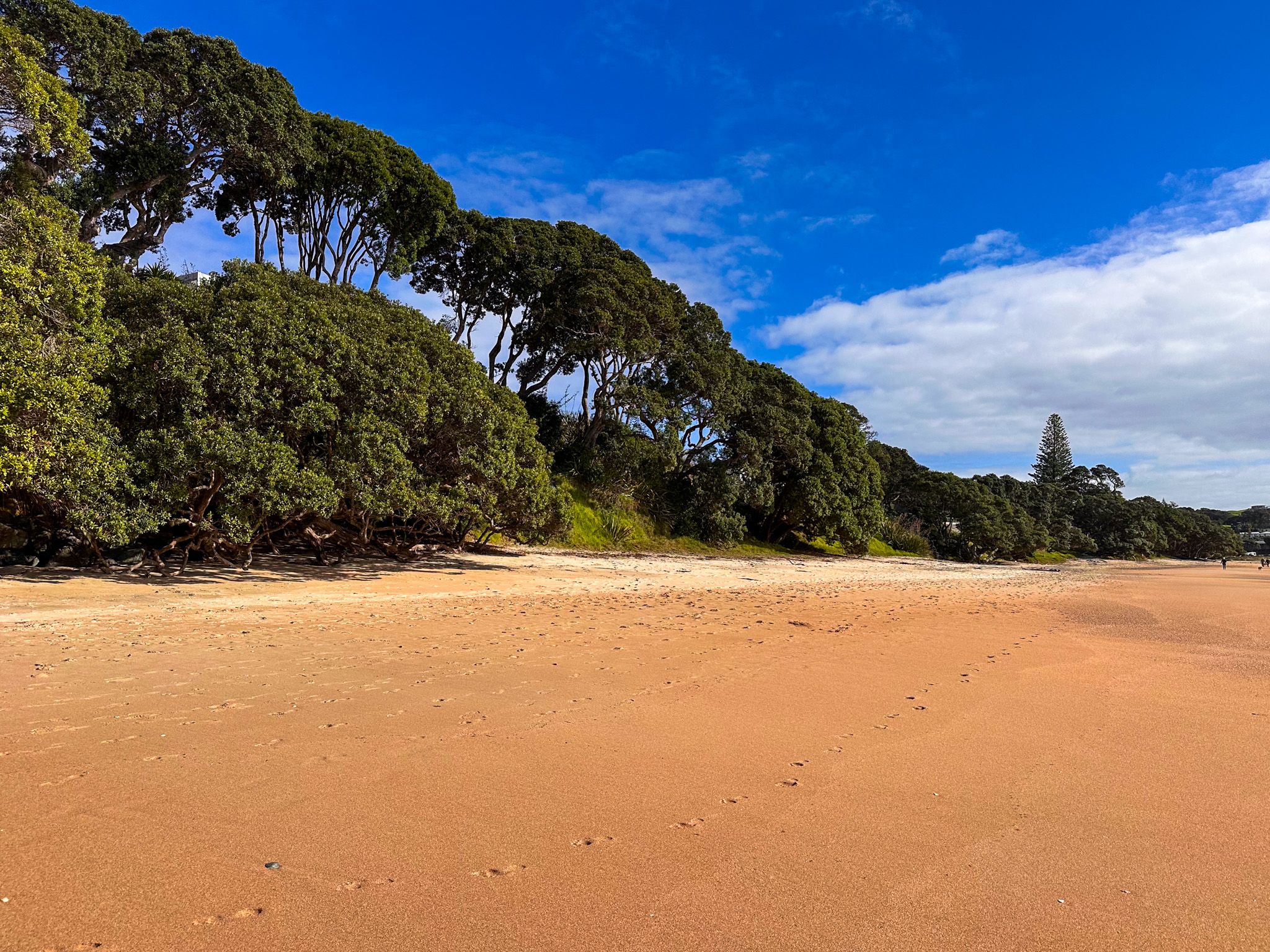
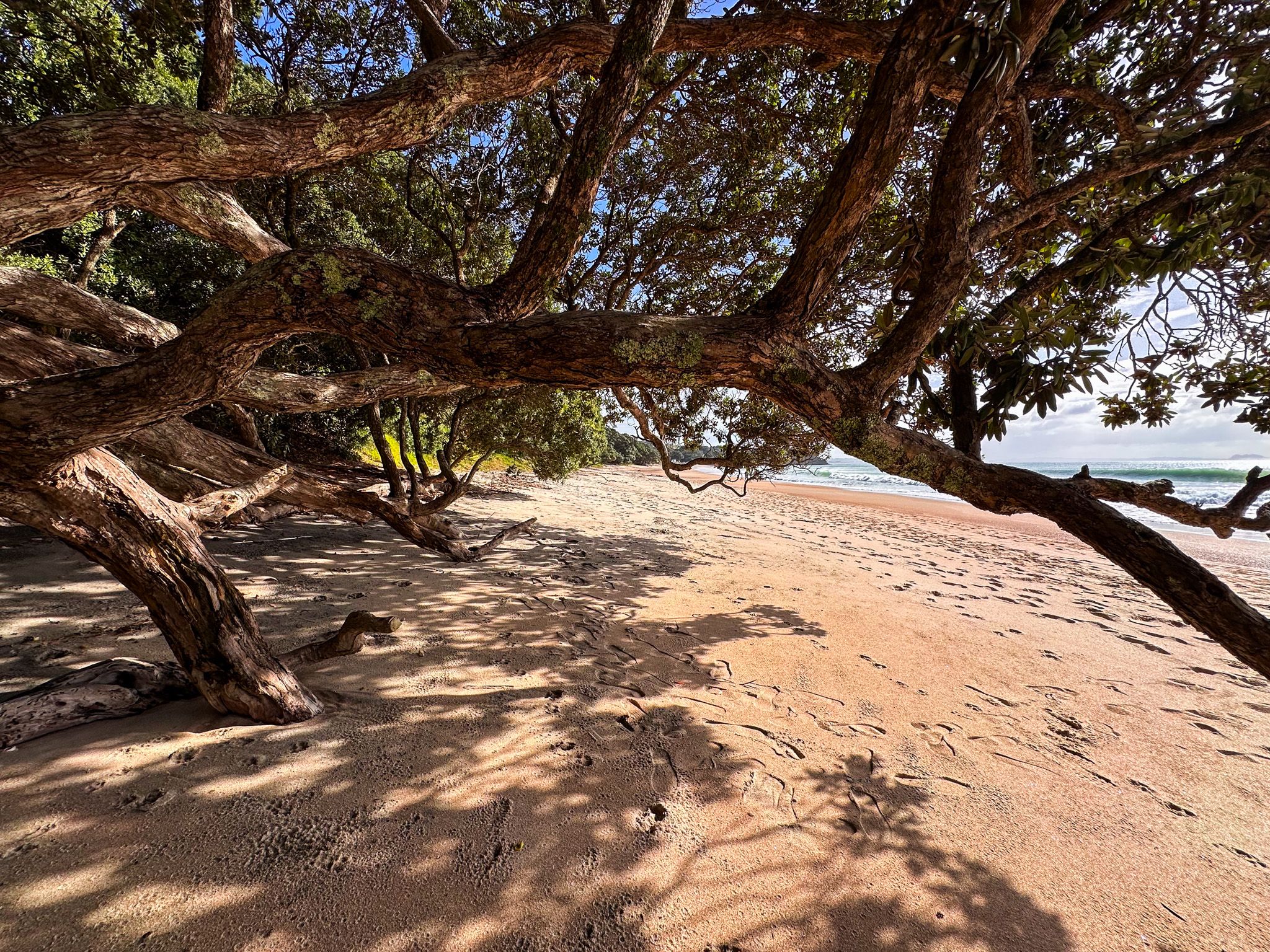
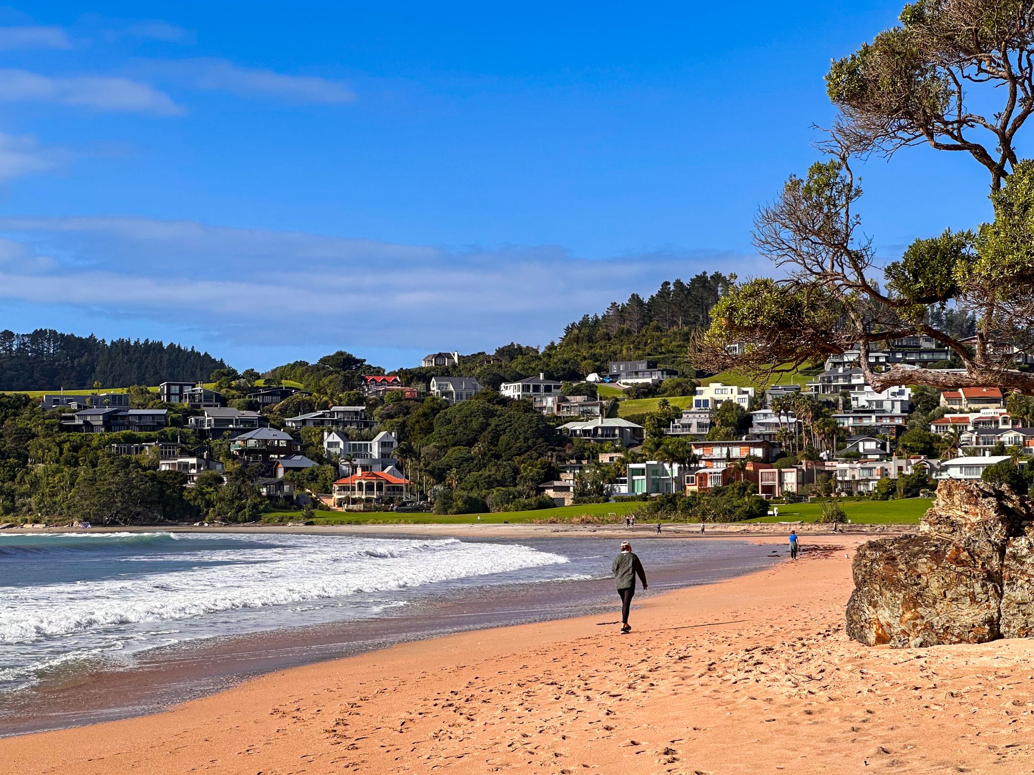
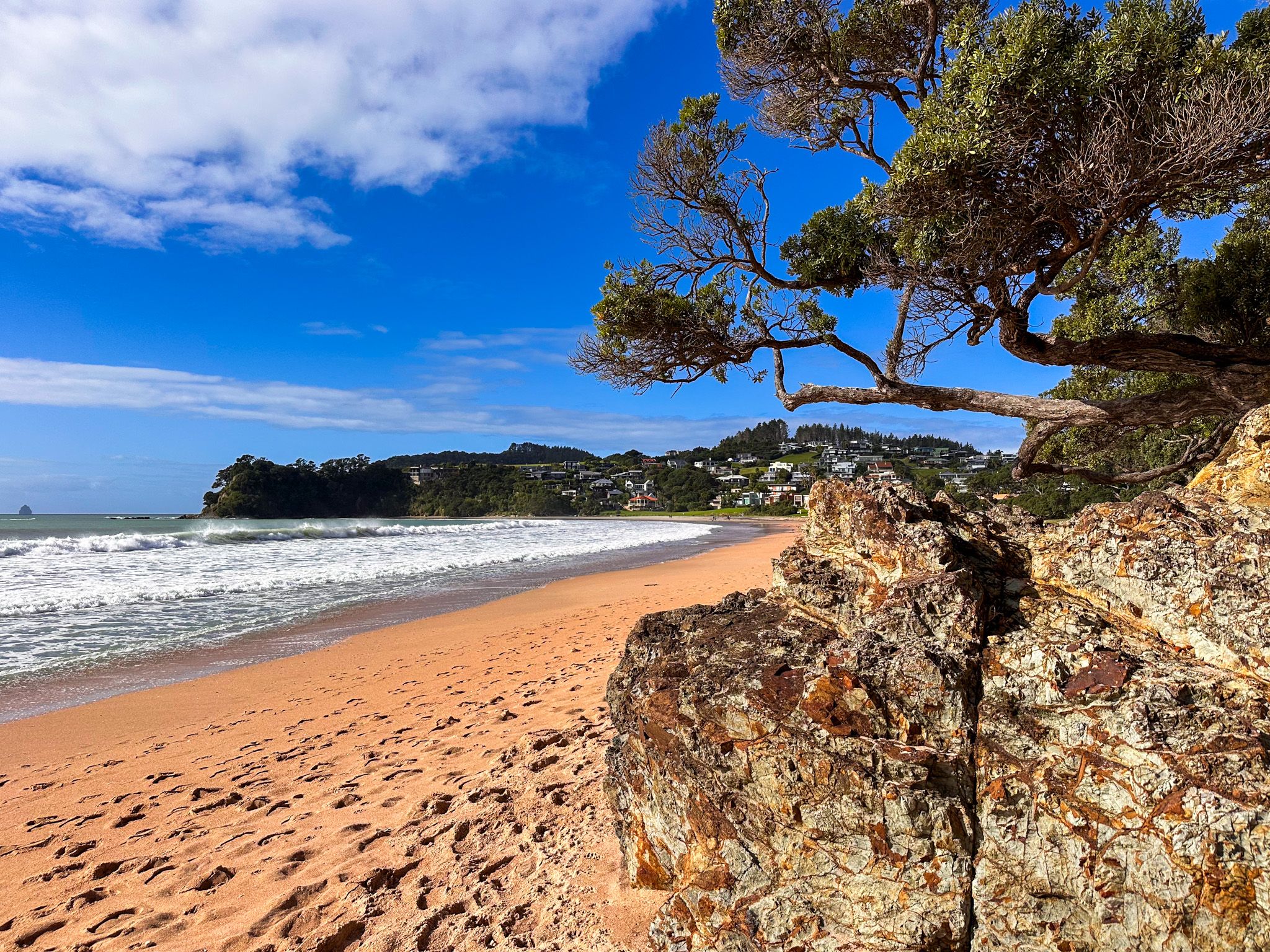
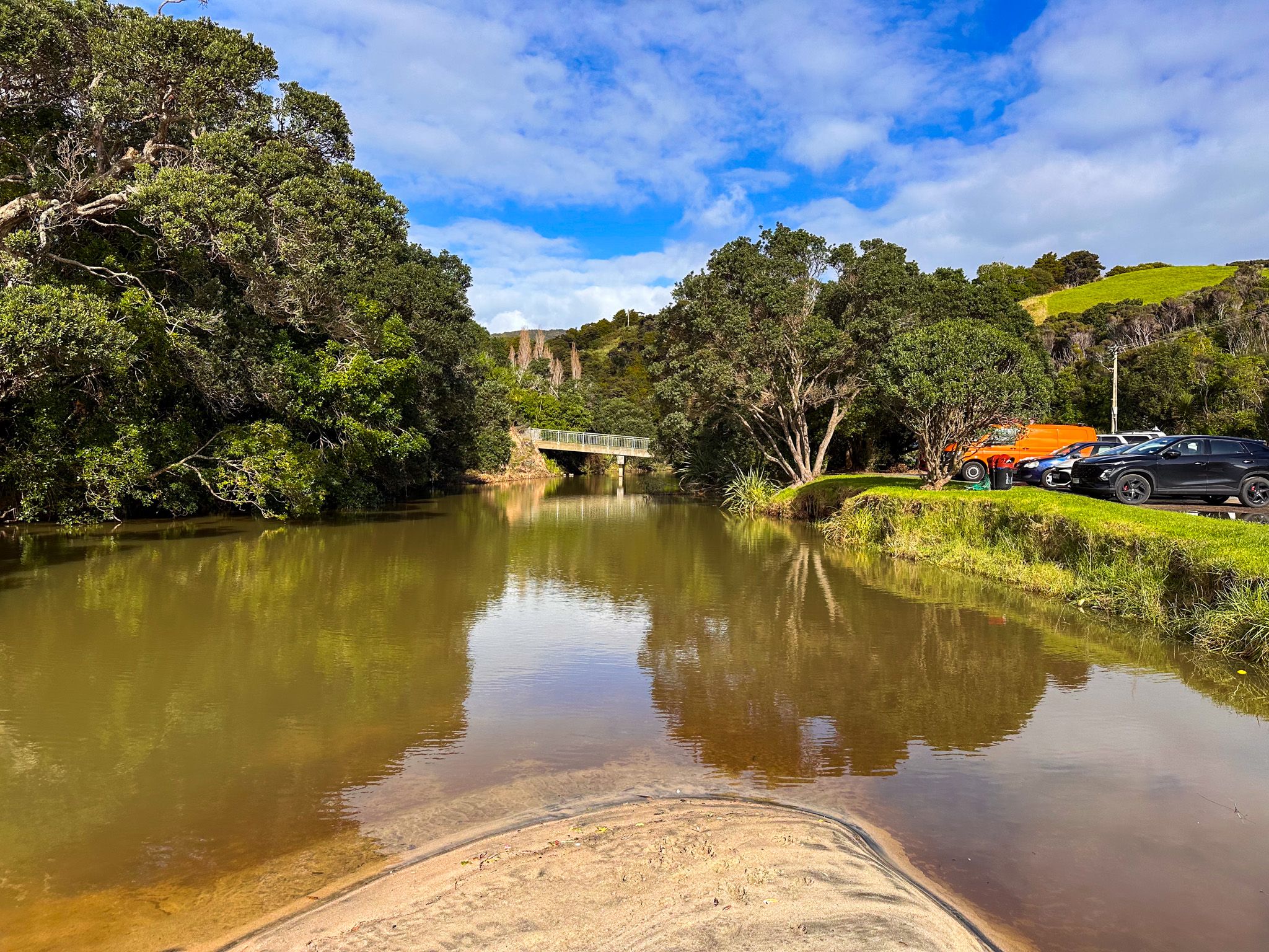
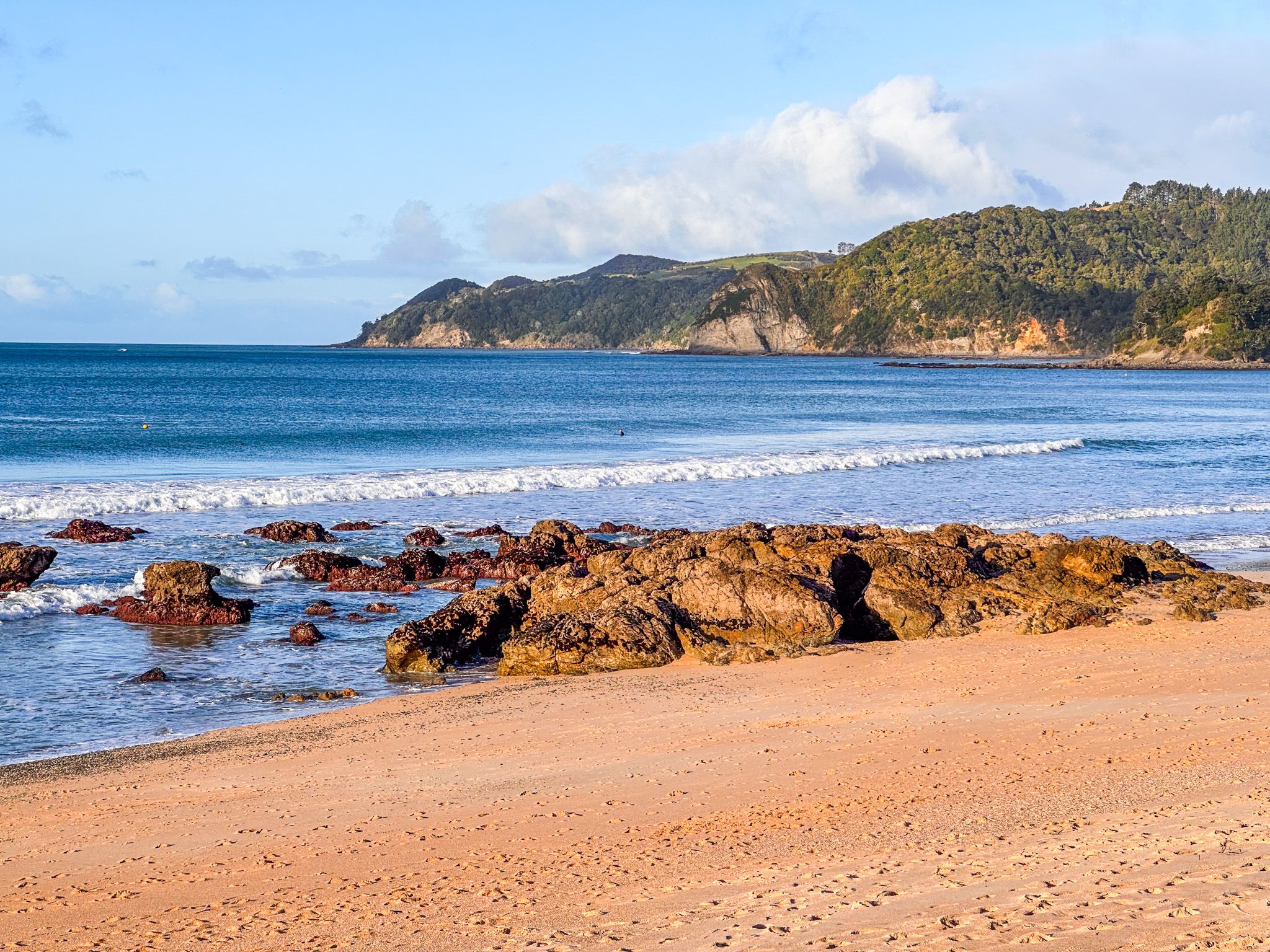
Langs Beach, with its adjoining McKenzie Cove, stretches for 1.7 km along the sheltered, northeast-facing shoreline of Bream Bay on the Pacific Coast in Northland. Framed by white and golden sand, clear surf, and mature pōhutukawa, it’s one of the region’s most iconic summer beaches. Just 5 km southeast of Waipū Cove and 10 km northwest of Mangawhai Heads, it sits on scenic Cove Road, reached over the Brynderwyn Range through recovering kauri forest where large trees can still be seen right beside the road.
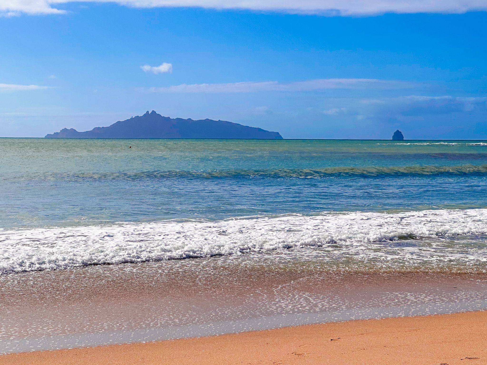
To the south, the Piroa / Brynderwyn Hills form a rugged backdrop. The region is recognised as a high-value conservation area and is one of the few places in Northland where kiwi have been reintroduced. Wairahi Tracks Trust and other local kaitiaki groups are active in protecting the native ngahere from weeds and predators, maintaining and expanding the reserves in the area.
Māori Heritage and the Name Wairahi
The name Wairahi means “roaring waters” or “abundant waters” and has long been associated with this stretch of coast. Early maps show the name linked to the cove and possibly to a pā site that once occupied the headland at the eastern end of the beach. Over time, it was given to the first street in the settlement, to the main stream flowing onto the sand, and was even inscribed on a copper plate above the first Lang homestead’s entrance.
Māori history in this region dates back to the ocean-going waka Māhuhu-ki-te-rangi and Ruakaramea. The area has been home to several iwi, and today the hapū Patuharakeke of Takahiwai and Te Uri o Hau of Kaipara are active in the area.
In November 1769, James Cook anchored the Endeavour in Bream Bay, trading with Māori who paddled out in waka. In the 1820s, the region was invaded by Ngāpuhi during the Musket Wars. On the signing of the Treaty of Waitangi in 1840, the land was in the hands of Ngāpuhi allies Te Parahwau and Patuharakeke..
European Arrival and Land Changes
Missionaries Leigh, Marsden, and Colenso often visited in the 1830s, often with James Busby, the British government agent in NZ. Busby negotiated large land purchases in 1839–1840 around Langs Beach and Waipū; however, these sales were rejected by the new government on review. As was often the case in areas affected by the Musket Wars, the purported sellers had no valid claim to the land. The government later bought the same blocks in 1854 for Scottish settlers who had arrived from Nova Scotia, led by Norman McLeod.
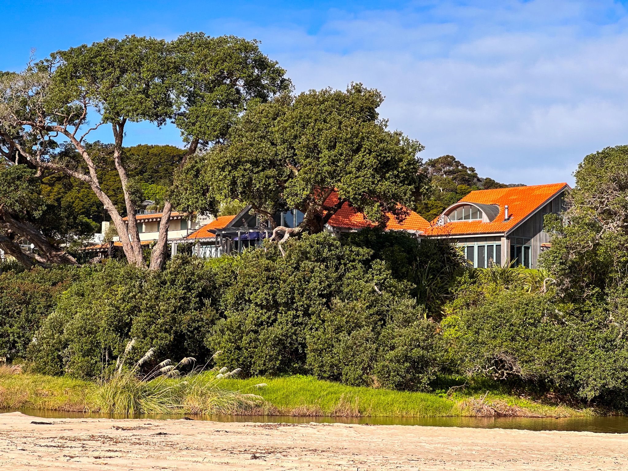
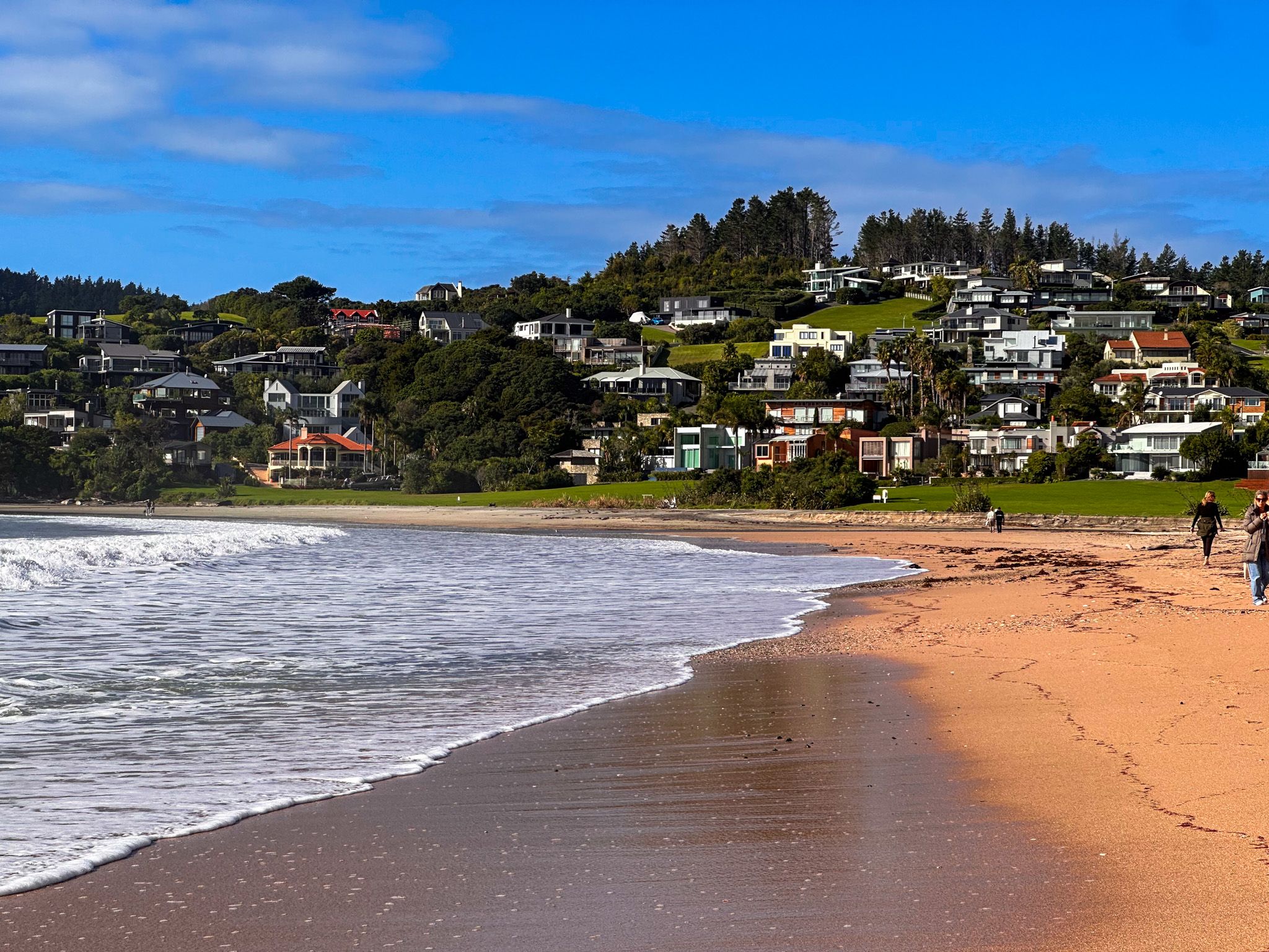
In 1856, two of these settlers, Duncan McKenzie and William Lang, purchased adjoining coastal blocks here, giving rise to the names McKenzie Cove and Langs Beach. The Lang family later acquired McKenzie’s land and expanded their holdings to more than 900 acres along the coast. From 1927 to 1990, the farm was gradually sold, making way for the development of a seaside community..
Reserves and Conservation
The subdivision of the farm resulted in multiple public reserves. This included much of the beachfront, a 15-hectare block of regenerating bush that became Langs Beach Scenic Reserve and the 9-hectare Waterman Drive Reserve.
Getting There
Langs Beach is on Cove Road between Waipu Cove and Mangawhai Heads, about 140 km north of Auckland. The drive over the Brynderwyn Range on Cove Road is a short yet scenic Northland coastal route, making the journey as memorable as the destination itself.
You can also walk along the coast between Langs Beach and Waipū Cove on the Waipū Coastal Walkway. For local history, the Waipū Scottish Migration Museum in the town of Waipū tells the story of the area’s Scottish settlement, just a short drive away. A little further is the beautiful but lesser-known Piroa Falls.