Hike the Goldschmidt Track
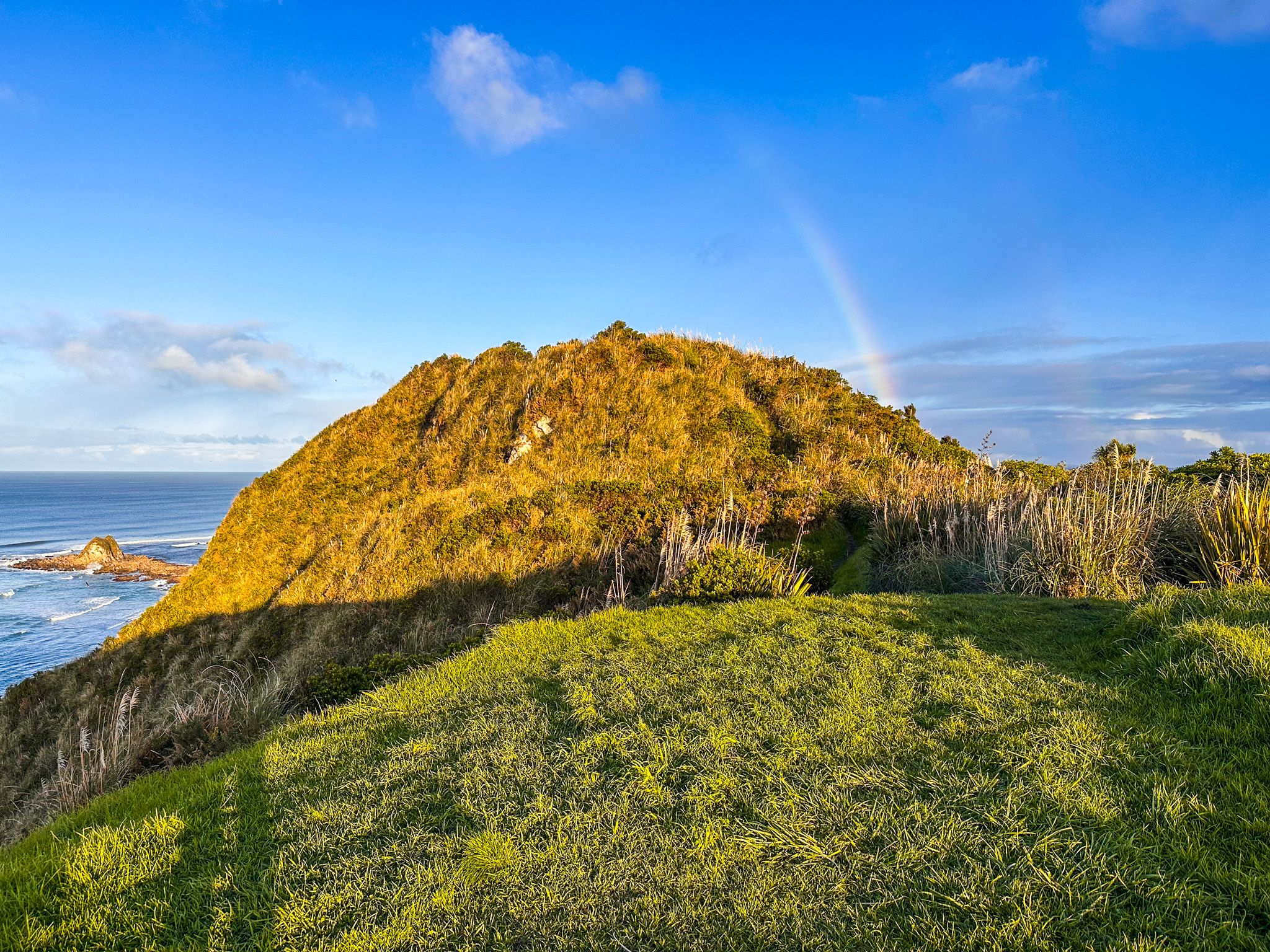
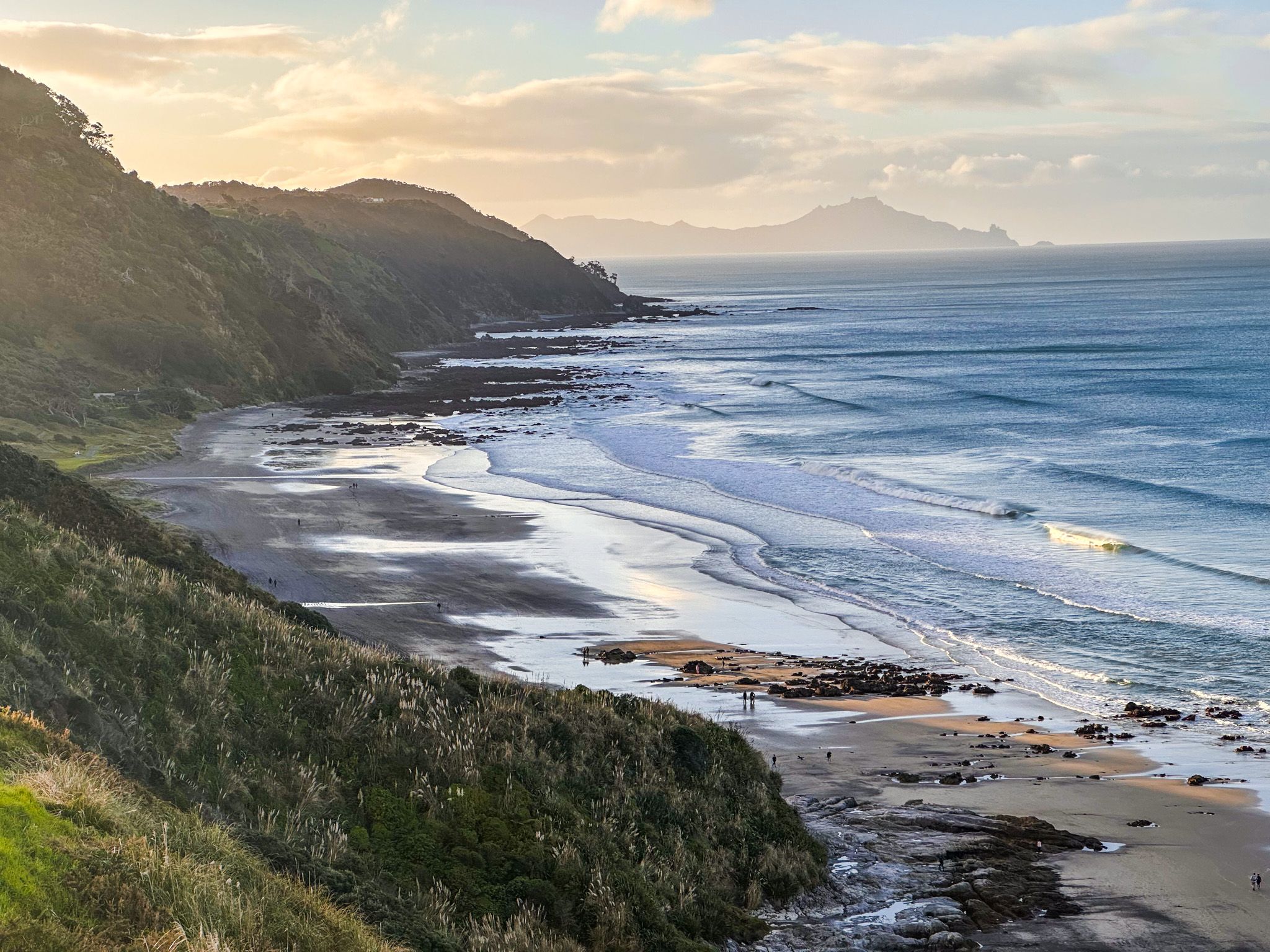
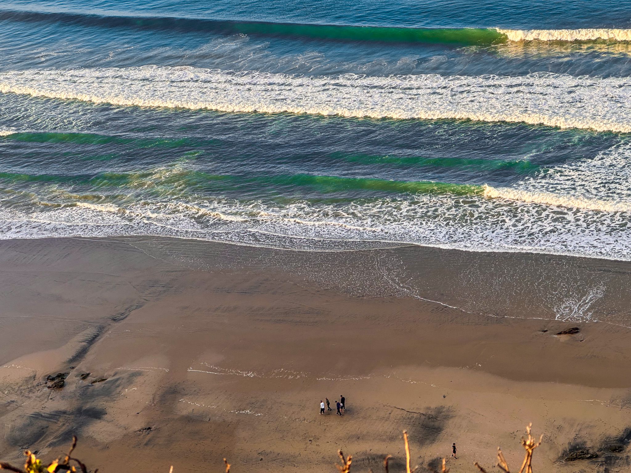
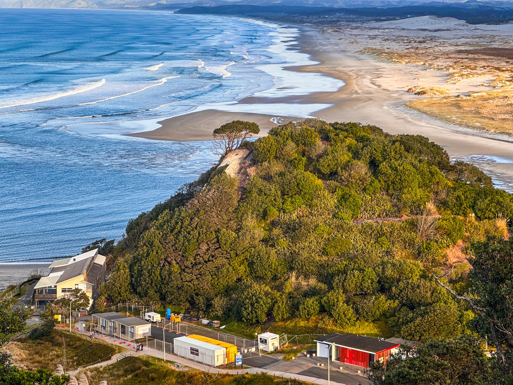
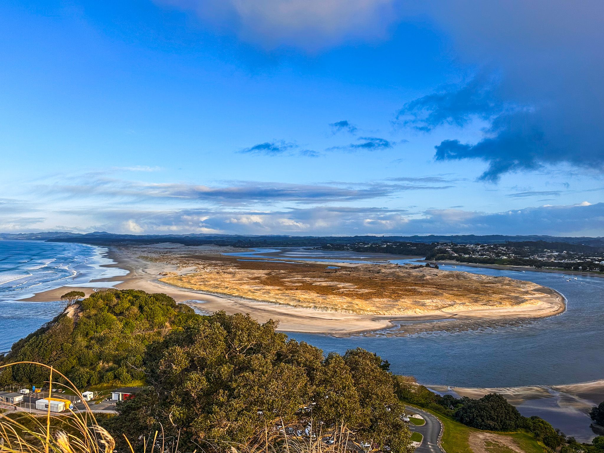
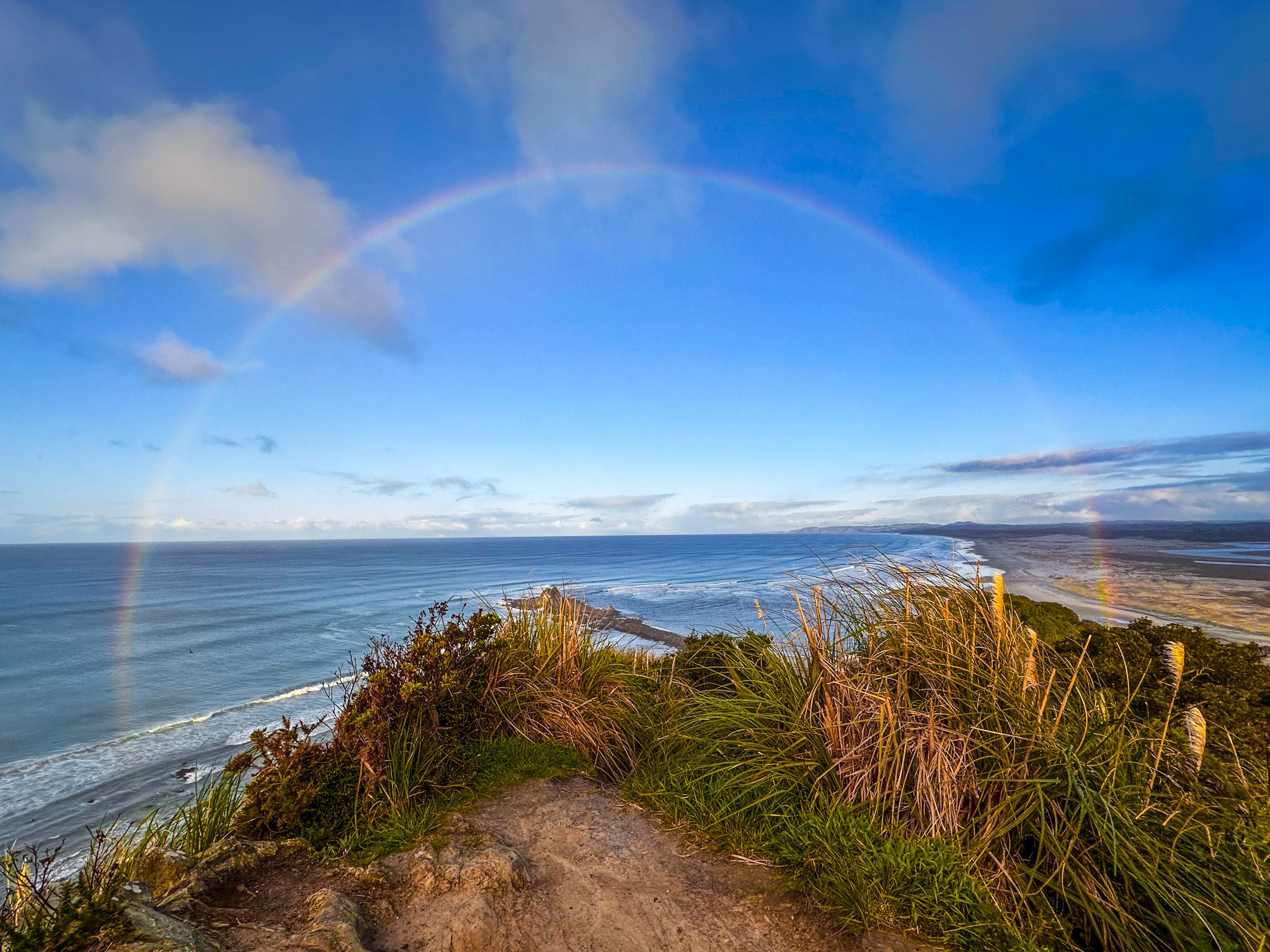
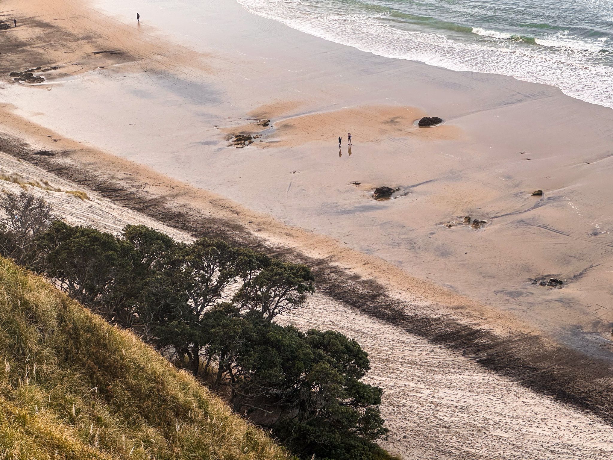
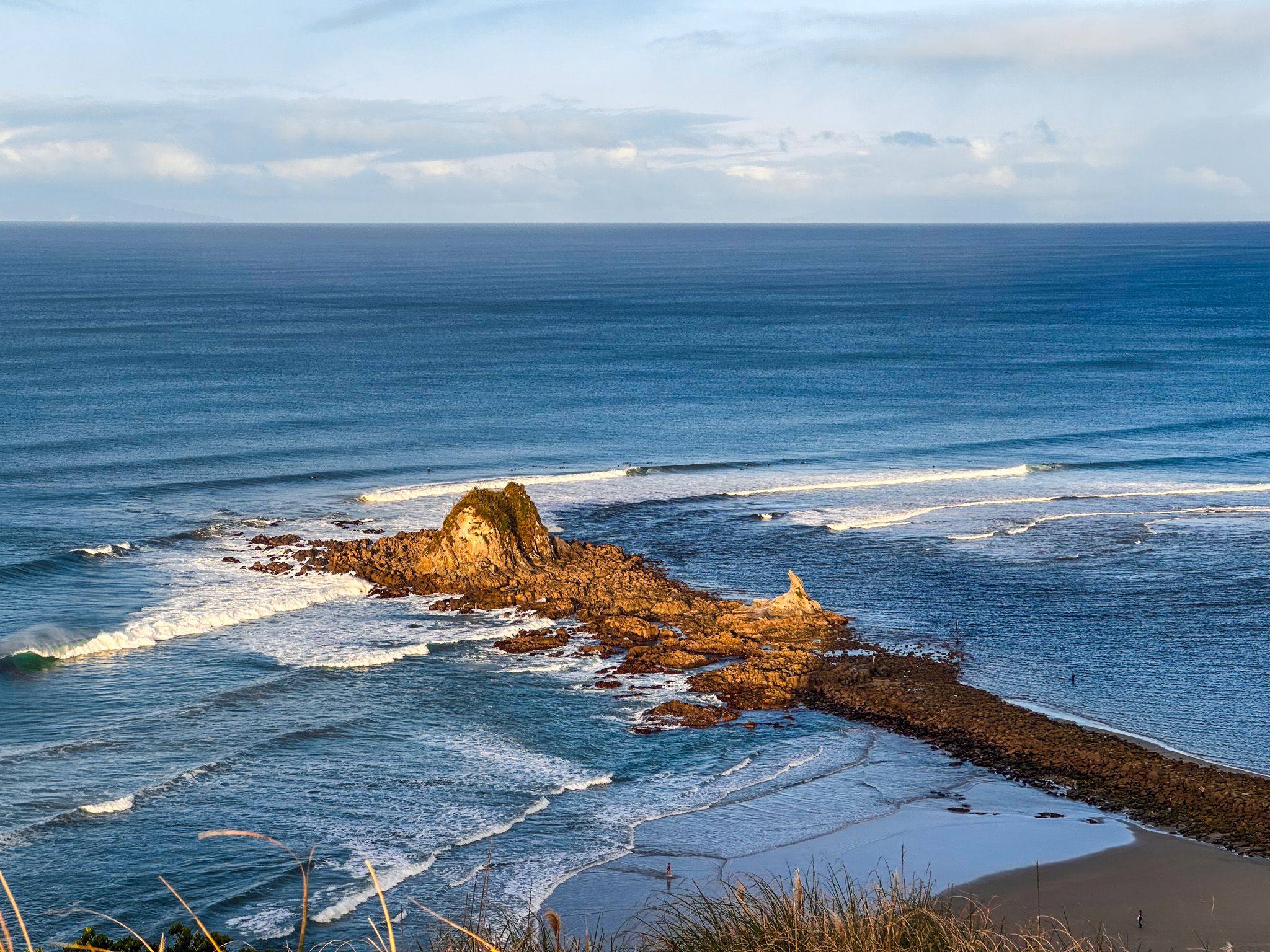
The Goldschmidt Track is a short but spectacular clifftop route at Mangawhai Heads, combining steep climbs with panoramic views over the Pacific Coast and Mangawhai Harbour. From the northern headland summit, the Pacific stretches north to Paepae-o-Tū / Bream Head, then out to the Chicken and Hen Islands; to the south are the harbour mouth, the sandspit, and the long expanse of the white and golden sand beach all the way to Pakiri and Cape Rodney.
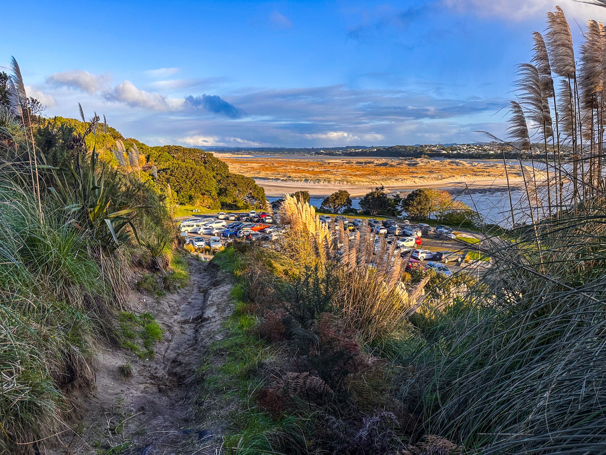
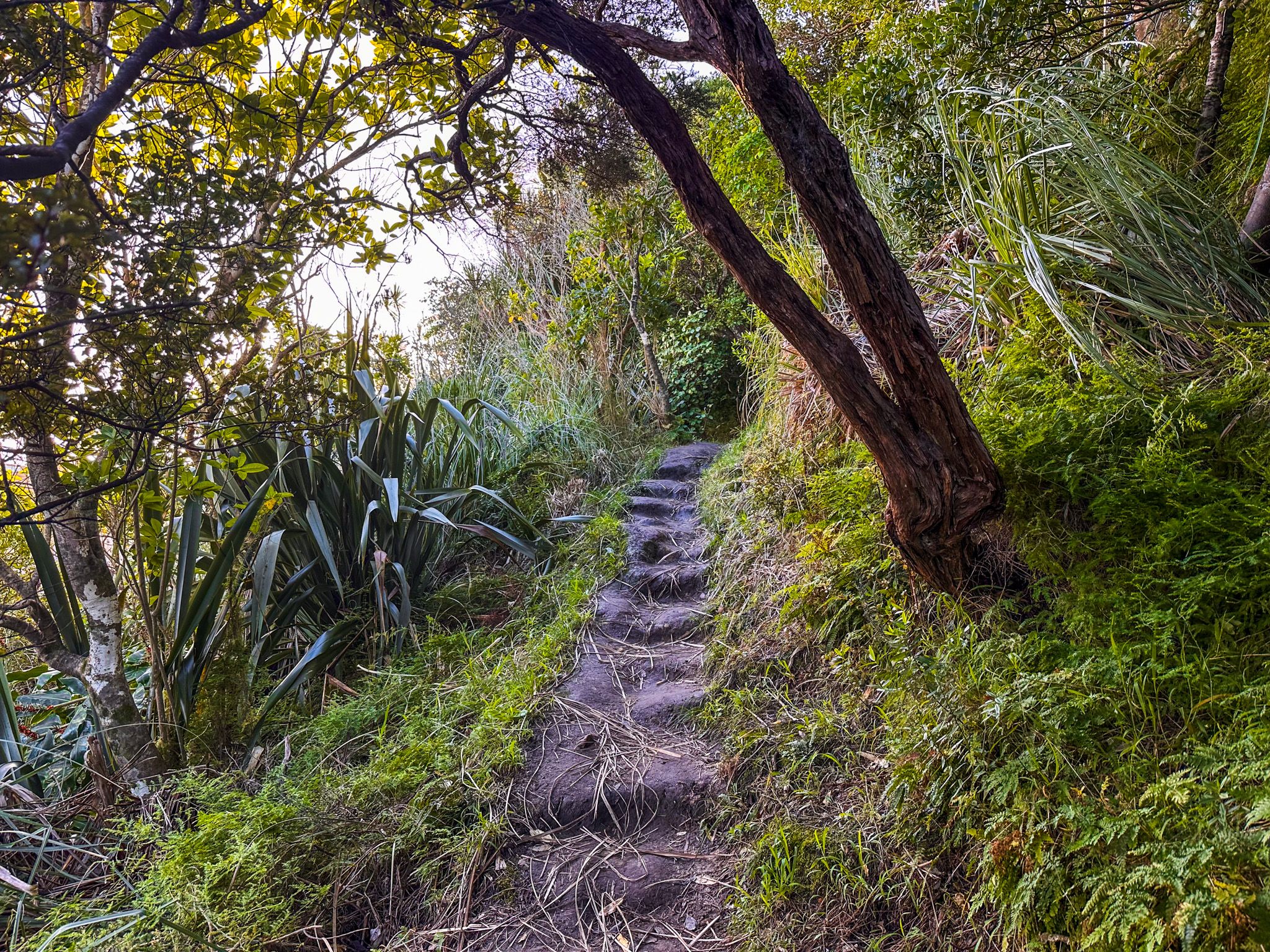
Starting near the northeast end of the surf club car park on Wintle Street, the track climbs a short, steep slope to a grassed flat area, then continues on a narrow path to the volcanic core at the summit. There is a cliff edge with limited space at the summit, so take care. Walking to the summit and back takes approximately 30 minutes.
History and Culture
The headland is a remnant of ancient volcanic activity and was a lookout point for Māori, with nearby rocky shores used for fishing and gathering shellfish. The name “Goldschmidt” originates from a local family that farmed in the area during the early 20th century. During the Second World War, coastal defences and observation posts were established on several Northland headlands, including Mangawhai Heads, to watch for enemy vessels.
Getting There
Pair the Goldschmidt Track with a beach and cliff-edge walk on the Mangawhai Walkway / Te Araroa, or explore the tidal flats at the harbour mouth. A short drive inland leads to the Tanekaha Falls Track, featuring a chain of waterfalls in the Tanekaha Forest, located in the Brynderwyn Hills.