Puriri Ridge Track in the Waitākere Ranges
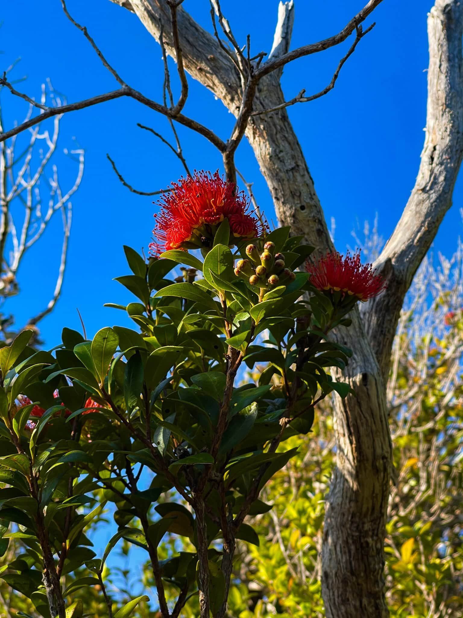
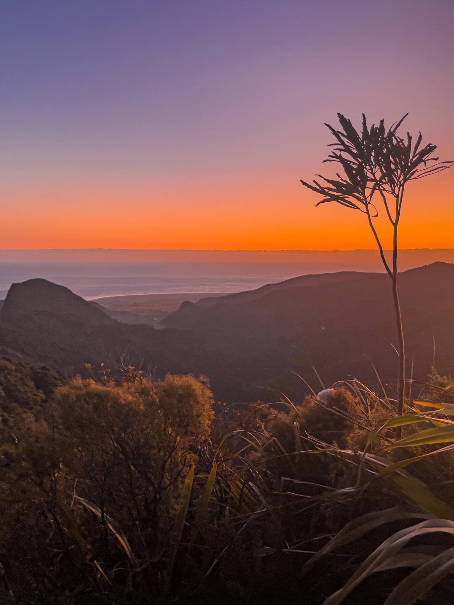
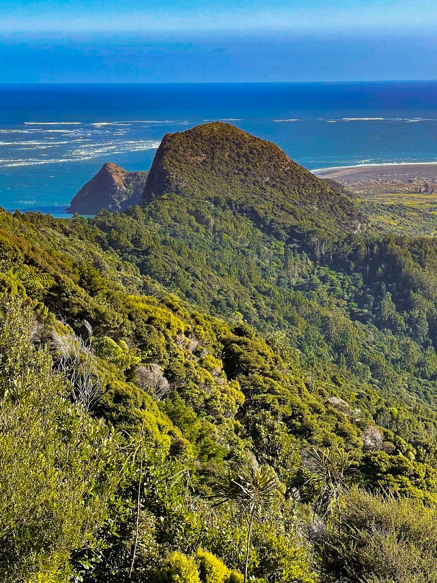
The Puriri Ridge Track is located in the Waitākere Ranges of Auckland. This track serves as a scenic connection between Te Rau o te Huia / Mt Donald McLean and the stunning Omanawanui Track. One of the highlights of this trail is a section where you can enjoy a panoramic view down the Whatipu Valley towards Whatipū, especially when the rātā are in bloom, adding vibrant colour to the landscape.
Trail Highlights and Features
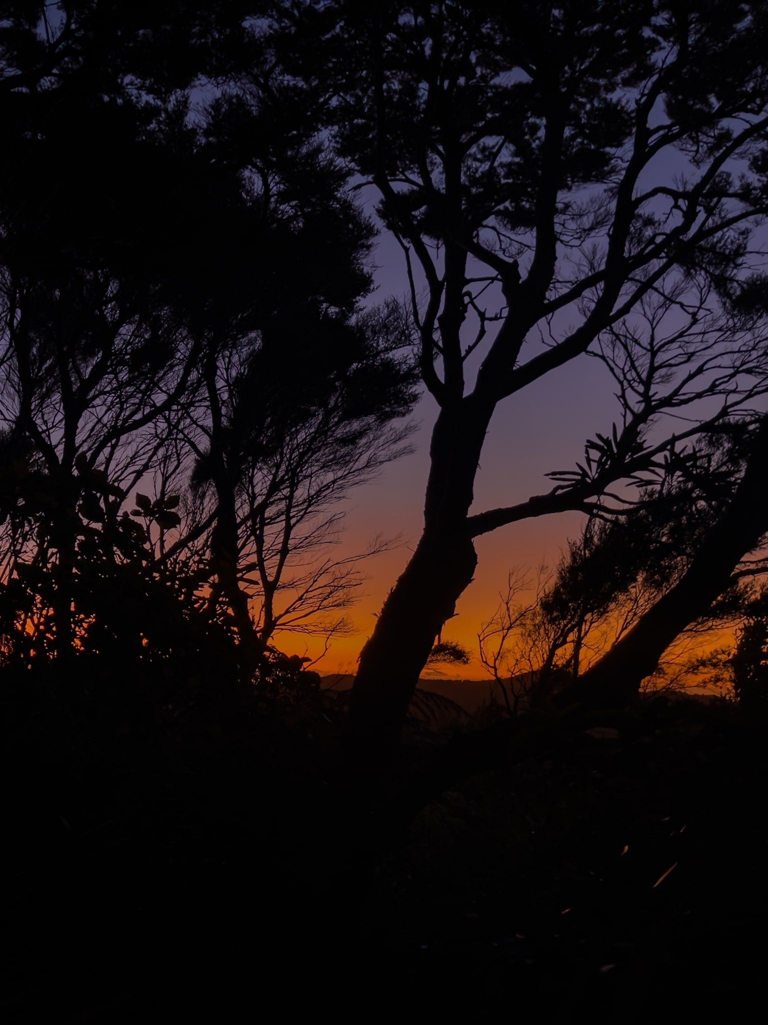
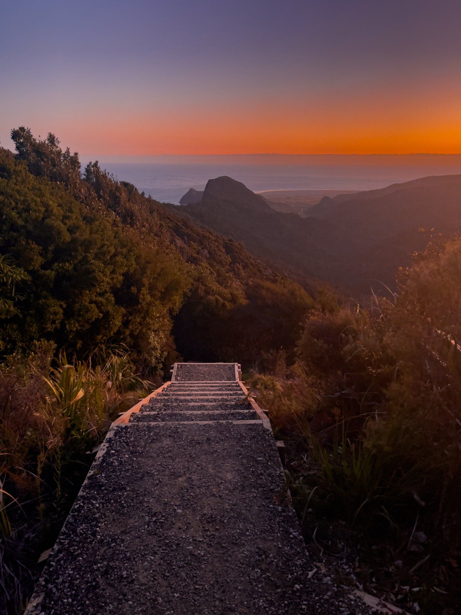
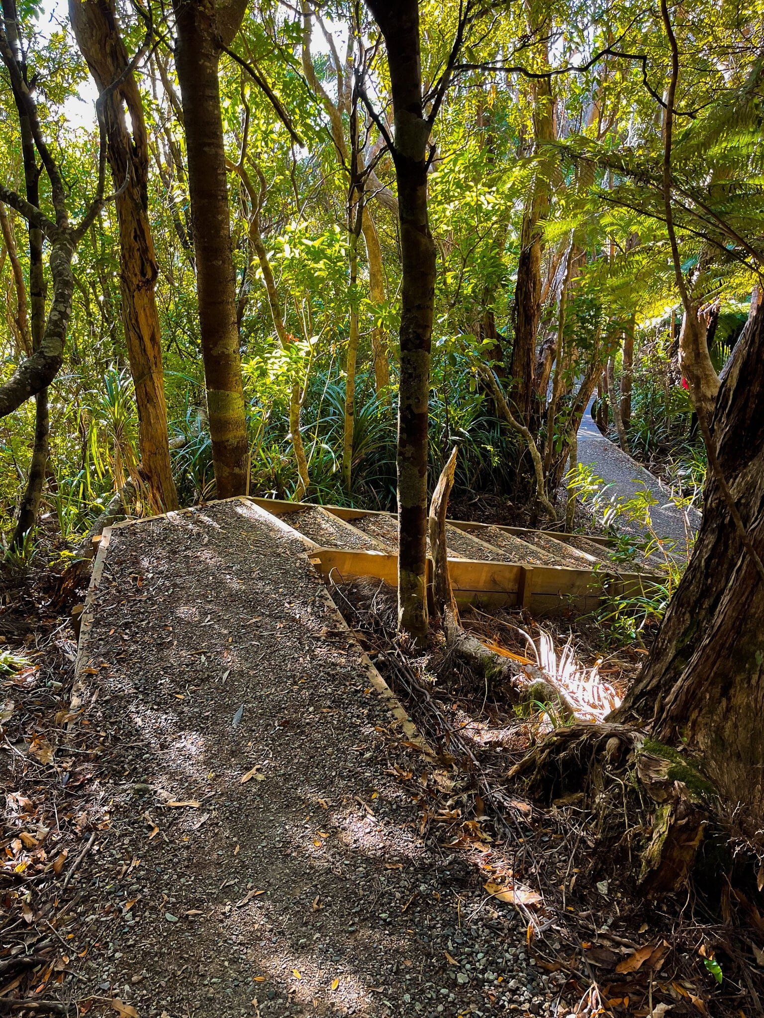
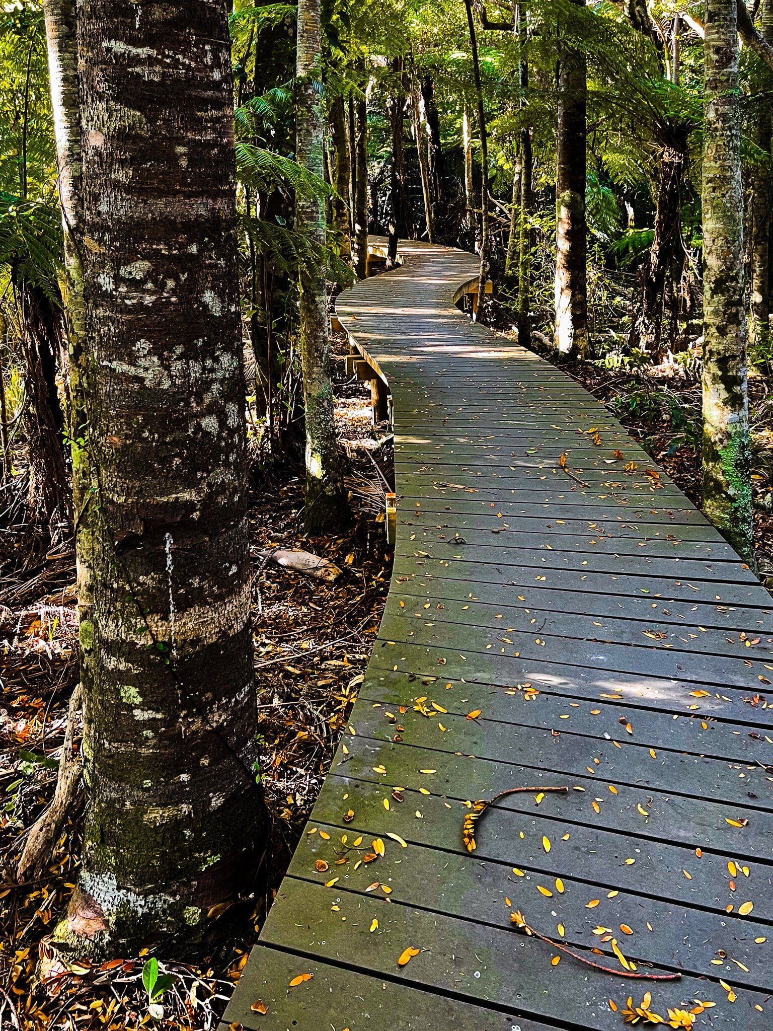
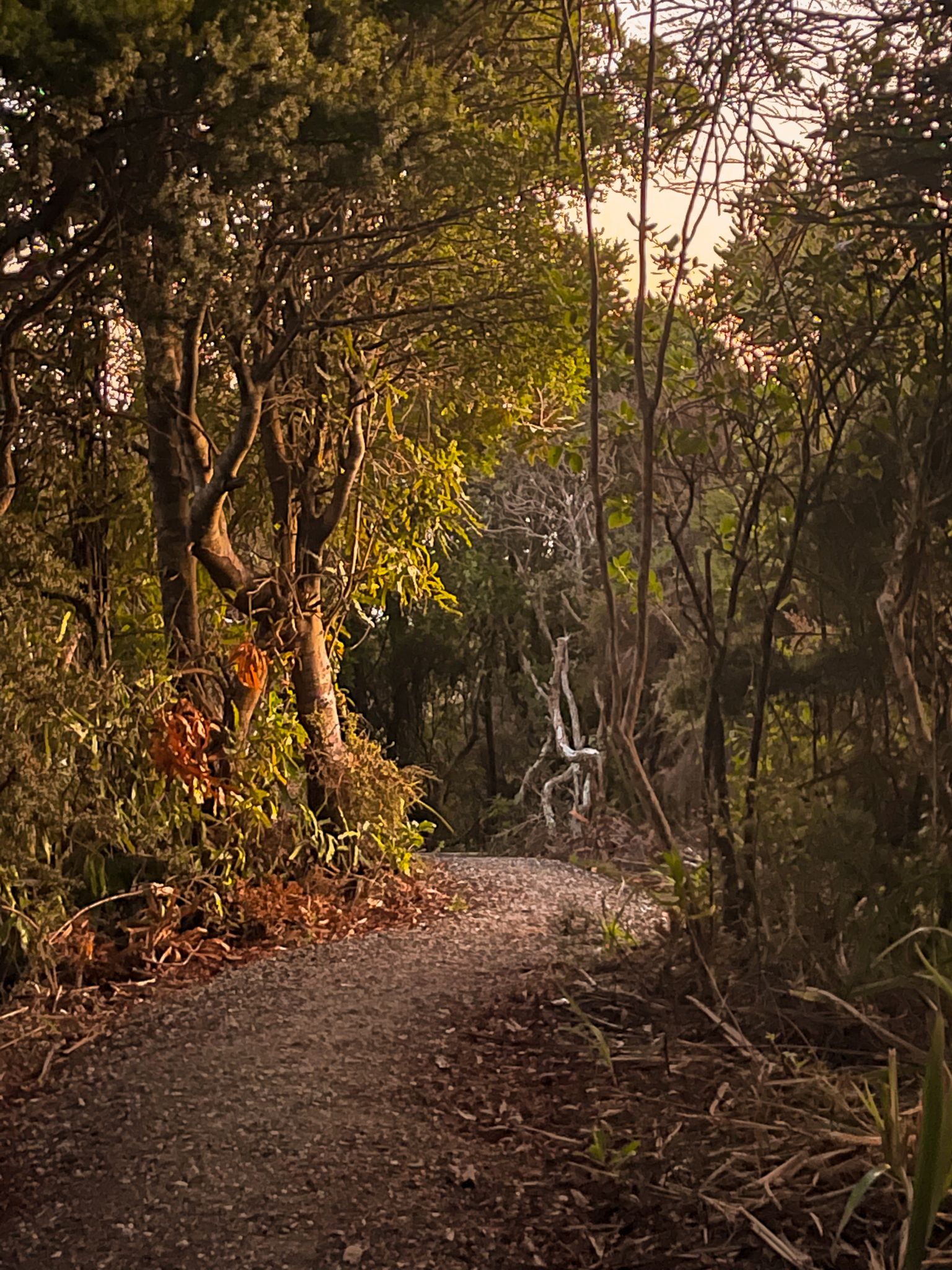
From the The track begins with a flat walk through forest regrowth, leading to a local peak. From here, you will encounter a short, steep descent through an open area of ancient volcanic rock. This spot offers an excellent vantage point for photography, particularly at sunset. After the descent, the trail re-enters a picturesque section of forest, featuring numerous steps that lead down to Whatipu Road.
The walk from Mt Donald McLean to Whatipu Road takes approximately 40 minutes. The Omanawanui Track begins immediately across the road, with further spectacular exploration opportunities.
How to get to the Puriri Ridge Track
To access the Puriri Ridge Track, take the gravel Whatipu Road from the end of Huia Road in Little Huia. After 2.5 km, turn right onto the access road to the Mt Donald McLean car park. From here, the track is well-marked.
From the car park, you can also walk the Donald McLean Track north to the intersection with the Karamatura Track, then follow this track to the Karamatura waterfalls and back to Huia Road.