Exploring the Kāpiti Coast
Located along the west coast of New Zealand's lower North Island, the Kāpiti Coast extends 60 km from Pukerua Bay to text. Just a 40-minute journey from Wellington by road or train, this region is known for its expansive beaches, forested hills, and laid-back coastal towns. Kāpiti Island, a prominent offshore landmark, adds to the area's appeal as both a popular holiday destination and a convenient day trip from the capital.
A Tapestry of Towns and Natural Beauty
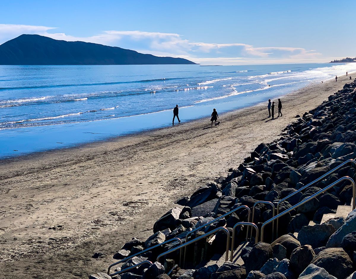
The southern entry point at Pukerua Bay and Paekākāriki lies at the base of the escarpment, where the railway, road, and cycleway meander northward along the coast. Paekākāriki, besides its beach, features an arts centre adjacent to its historic railway station.
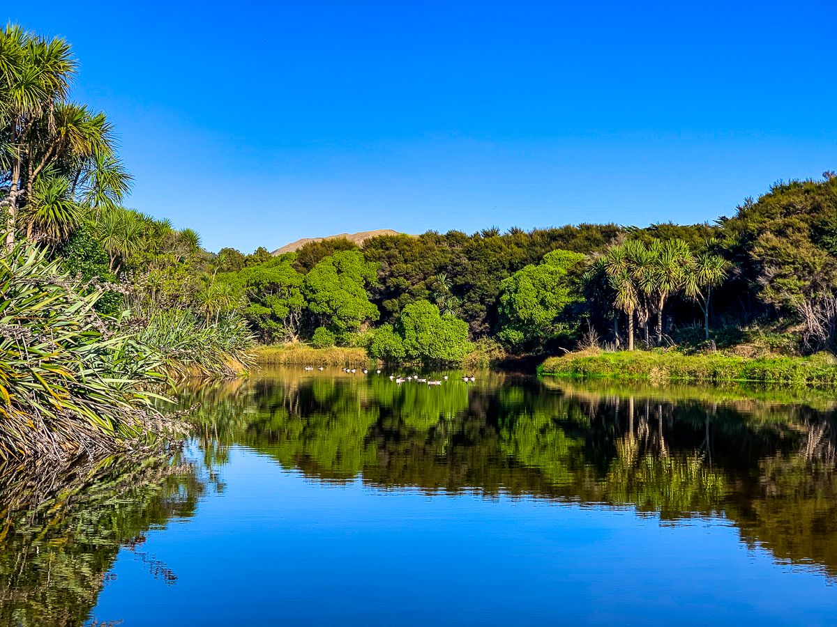
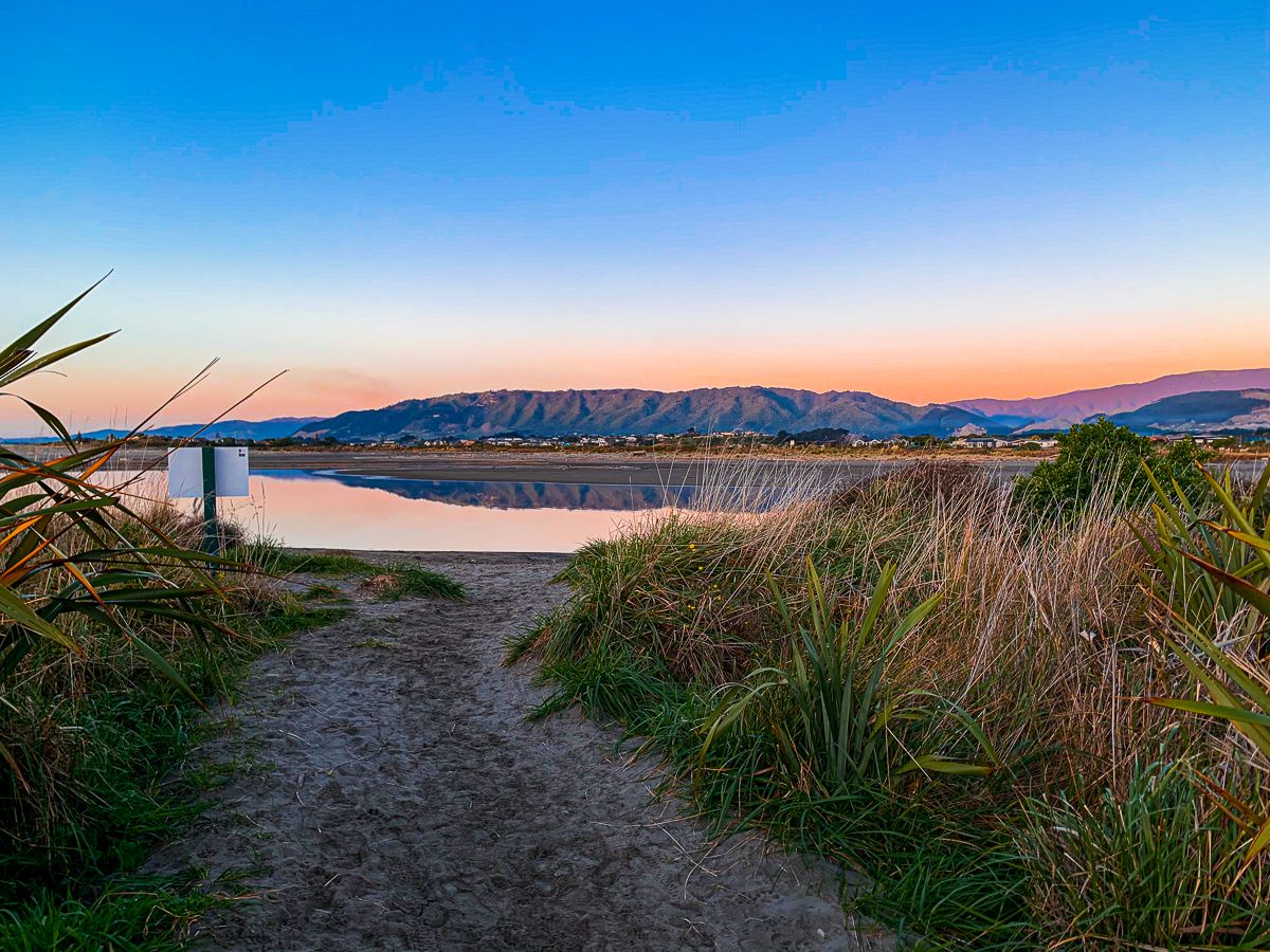
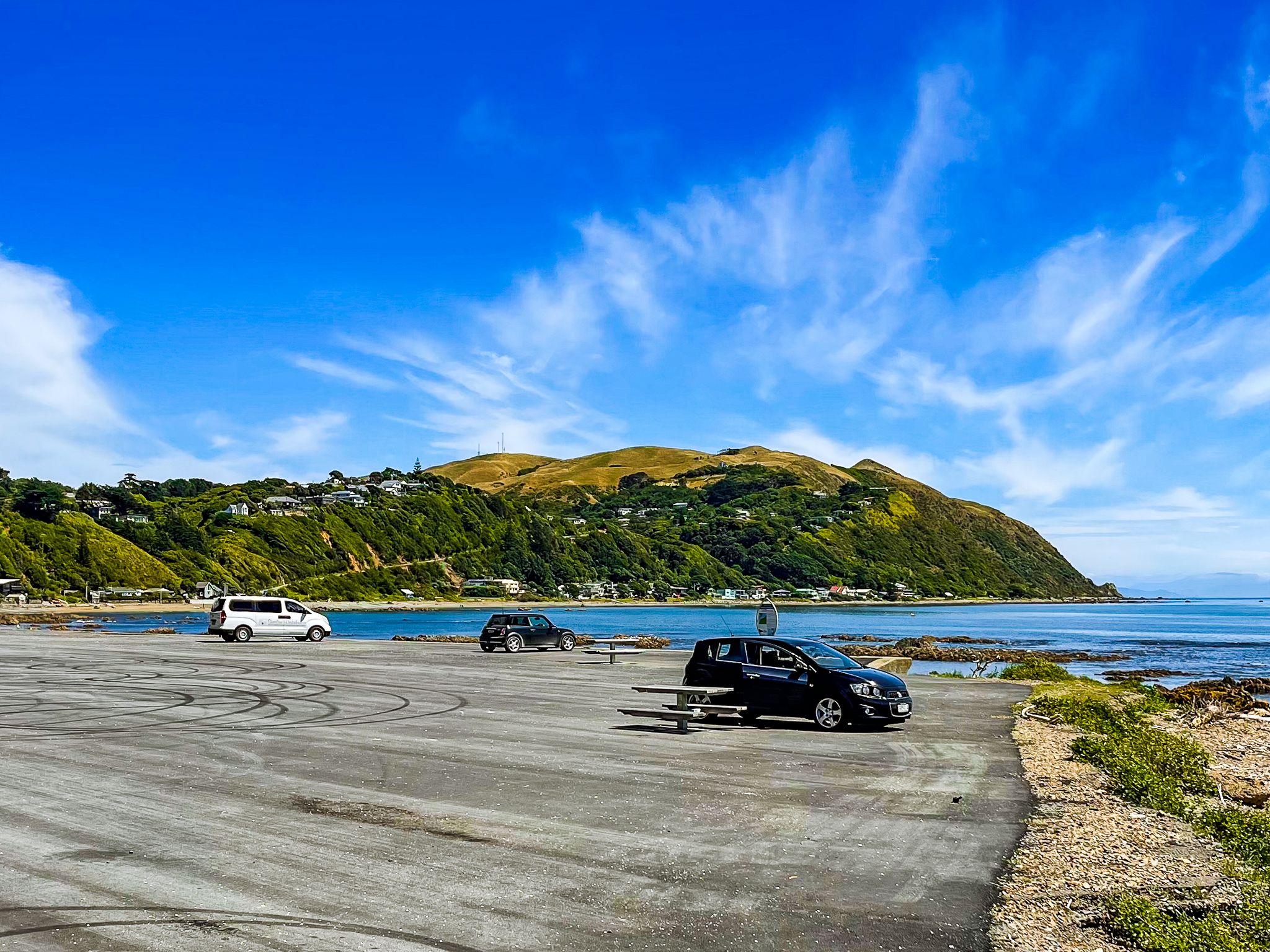
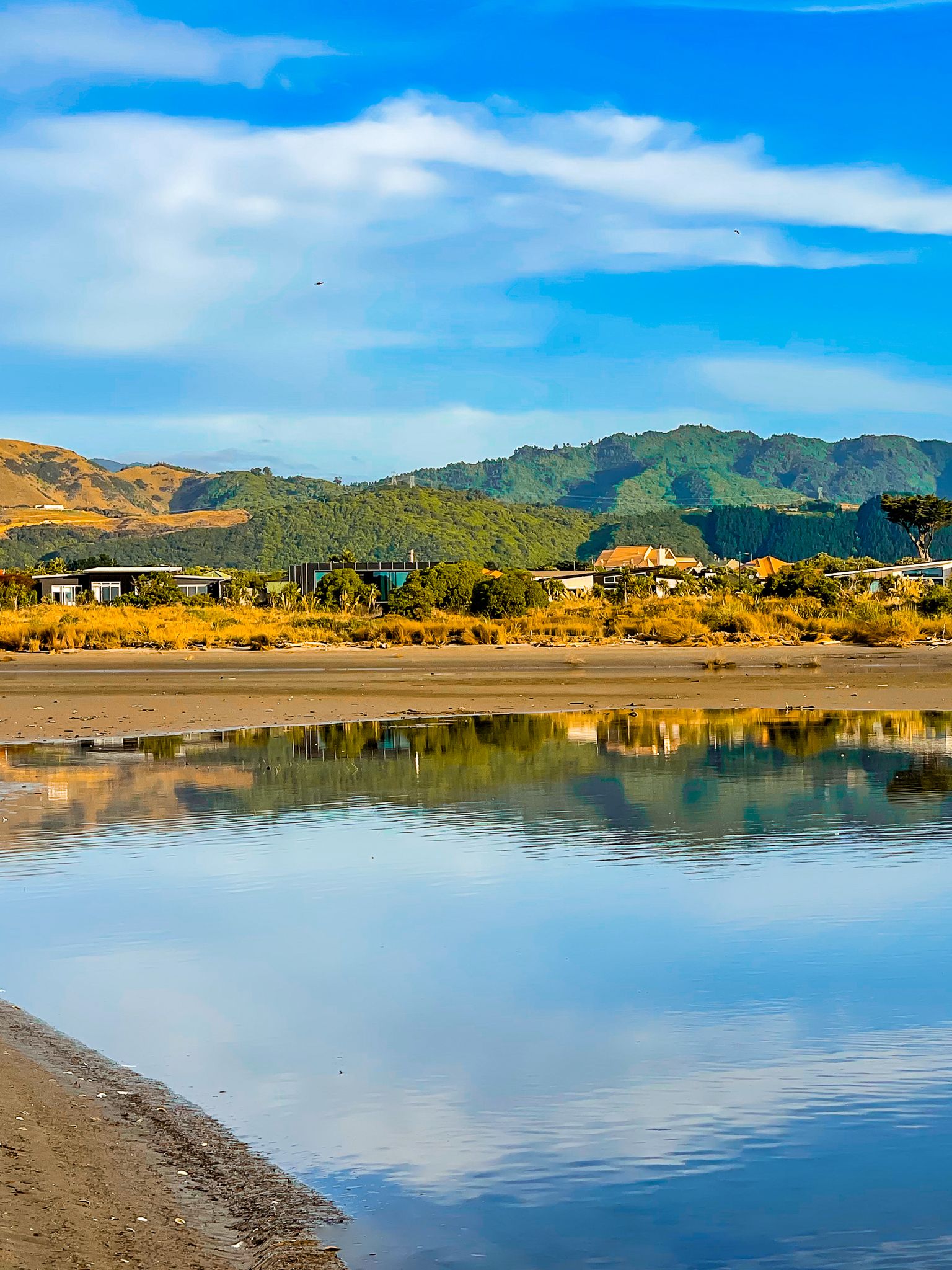
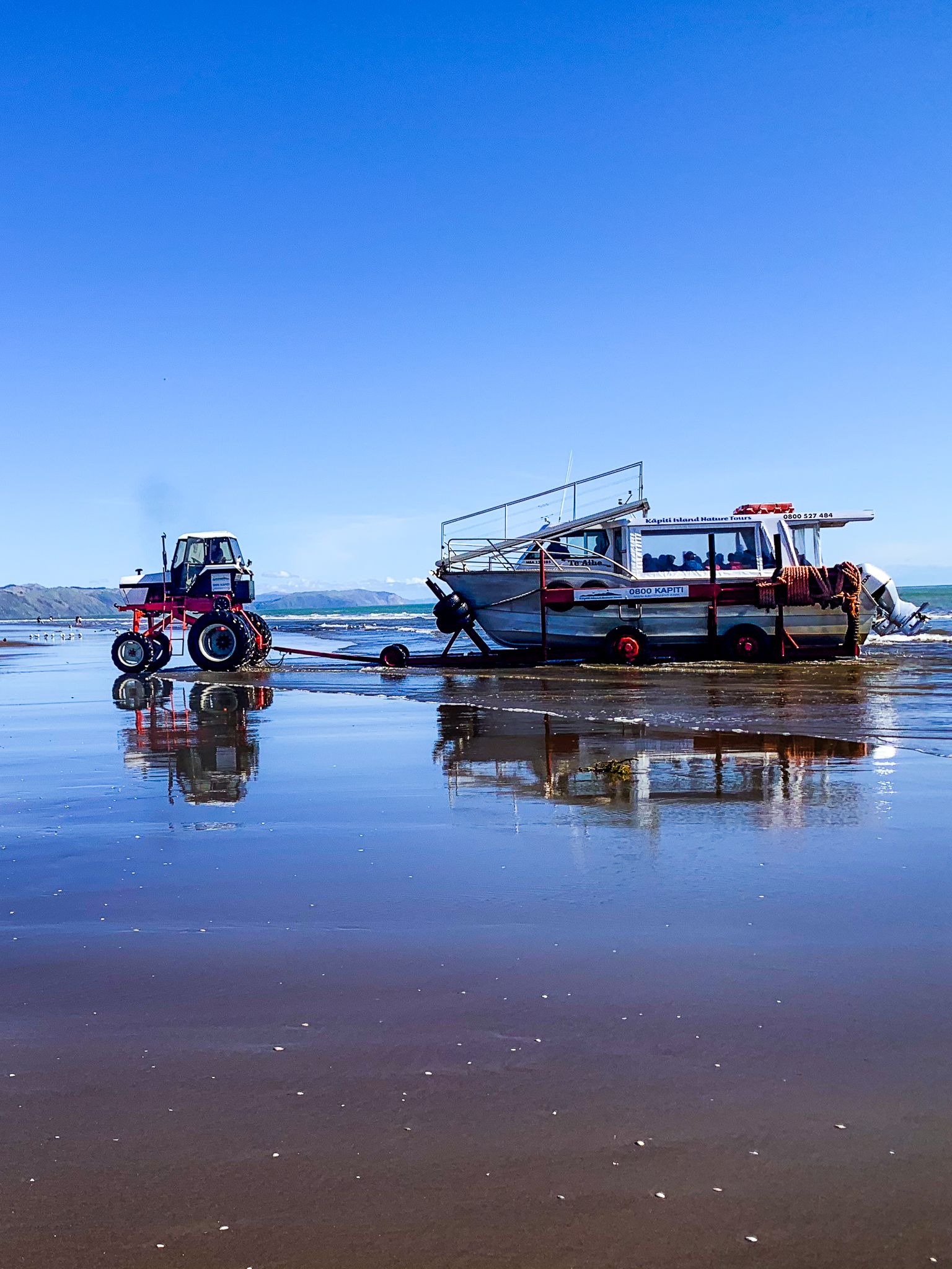
The central towns of Raumati, Paraparaumu, and Waikanae have long, wide beaches and serve as the district's hubs, with extensive services. Paraparaumu is the departure point for Kāpiti Island. Waikanae is noted for its river estuary, abundant birdlife, and family-friendly beach. Further north, Te Horo and Ōtaki have market gardens, lifestyle blocks, and more beaches that provide a sense of escape from urban life.


Walking Trails and Scenic Vistas
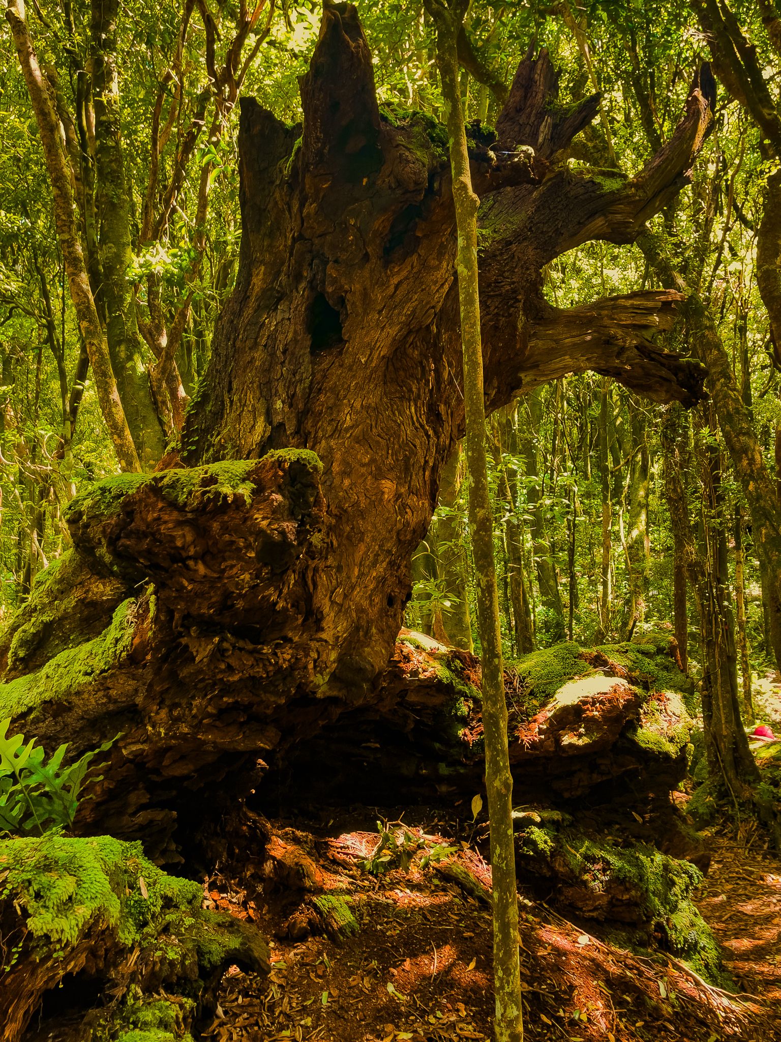
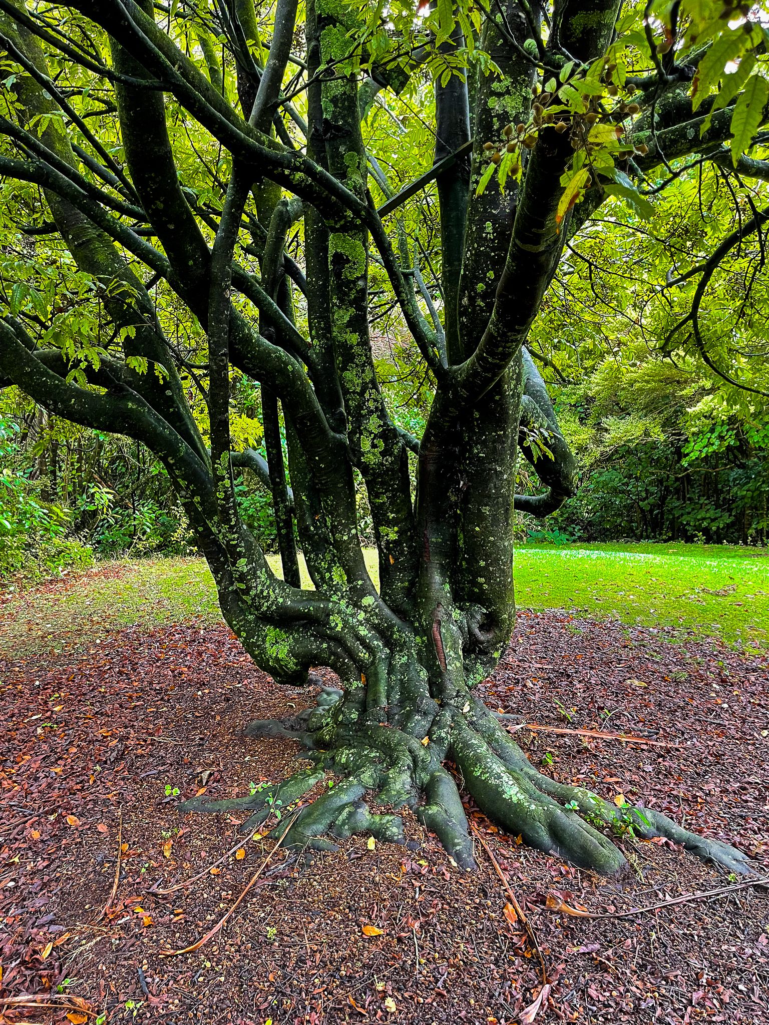
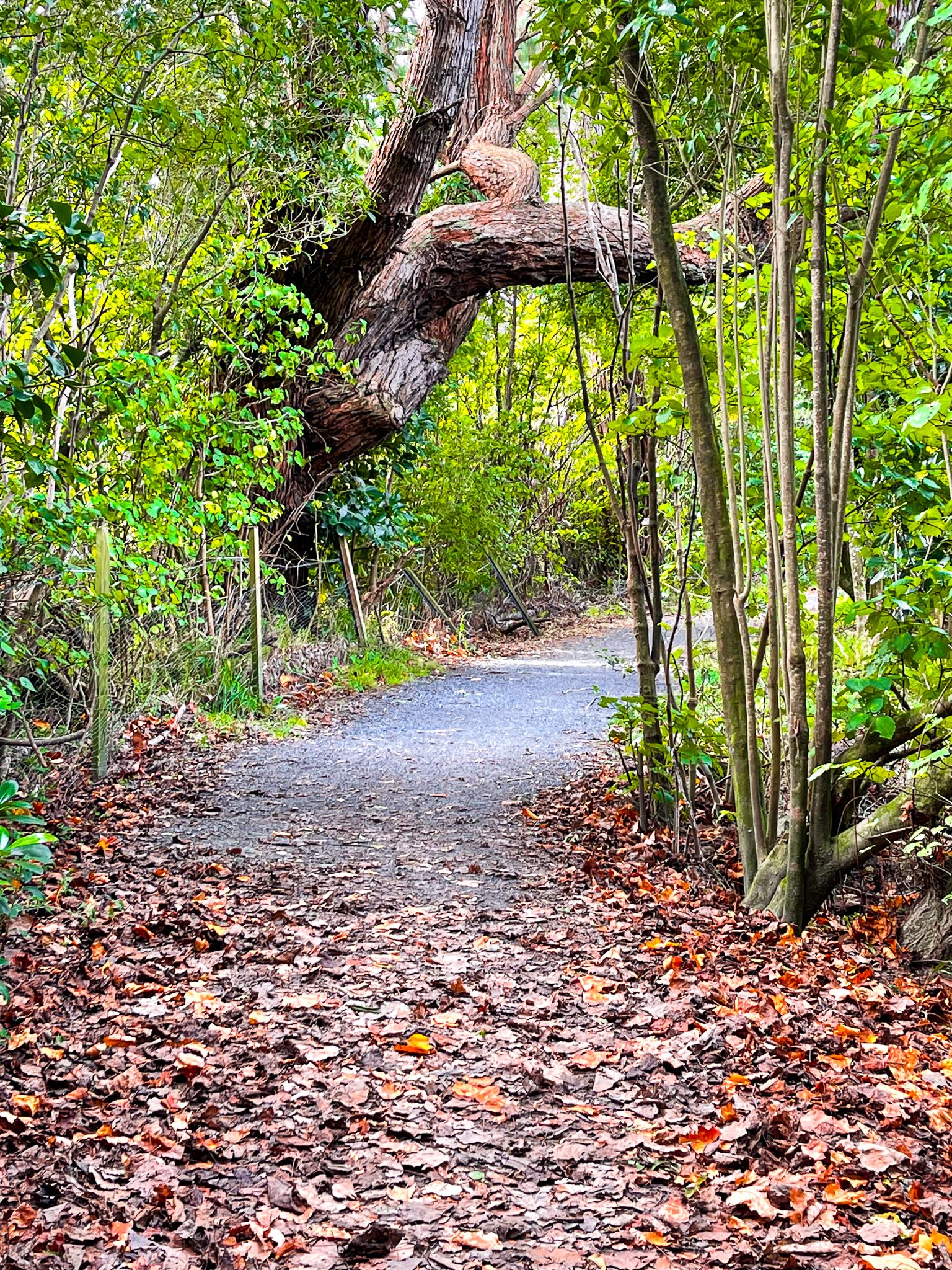
Known for its walking and cycling paths, the Kāpiti Coast provides numerous opportunities to explore. The Hemi Matenga Reserve above Waikanae features forested trails with panoramic views, while Ngā Manu showcases native birds, tuatara, and wetland habitats. The Waikanae River Track, popular with walkers and cyclists, follows the river to the coast.
From Paraparaumu, there is the Paraparaumu Reserve and Barry Hadfield Nikau Reserve
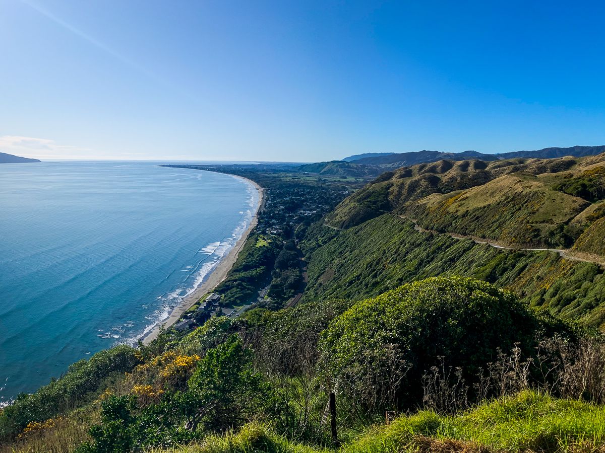
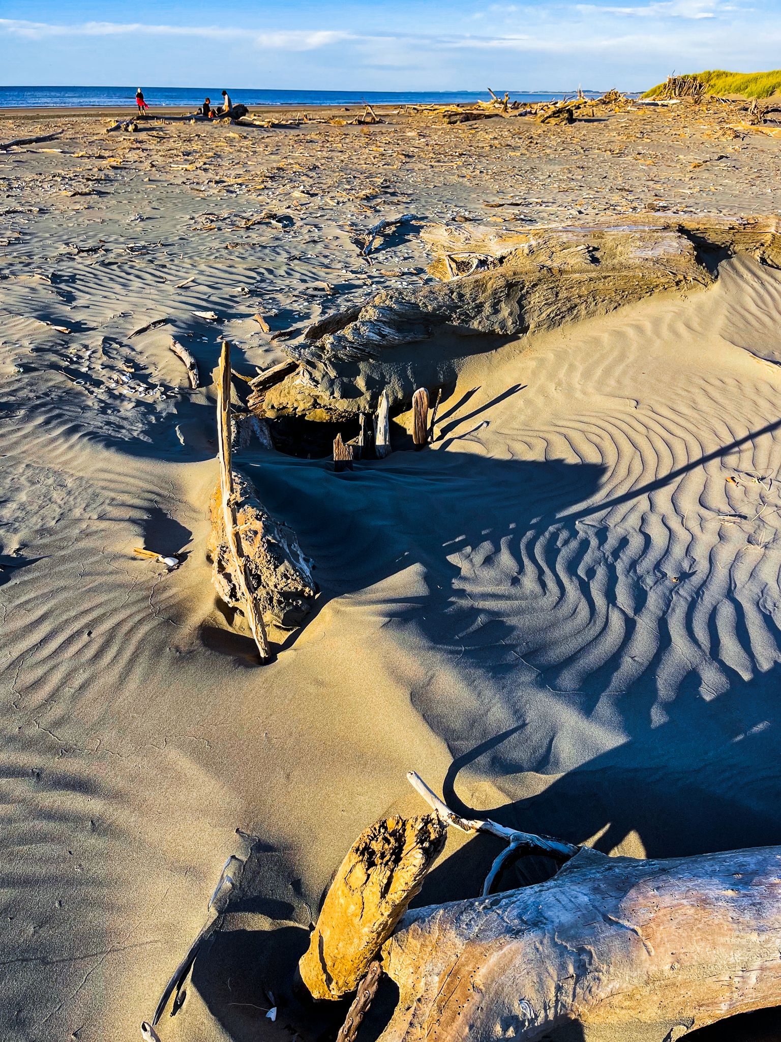
At the southern end, Queen Elizabeth Park stretches between Raumati South and Paekākāriki, featuring dunes, wetlands, and historic sites from its World War II camp era. A drive up Paekākāriki Hill Road reveals a breathtaking viewpoint over the coast and surrounding hills.
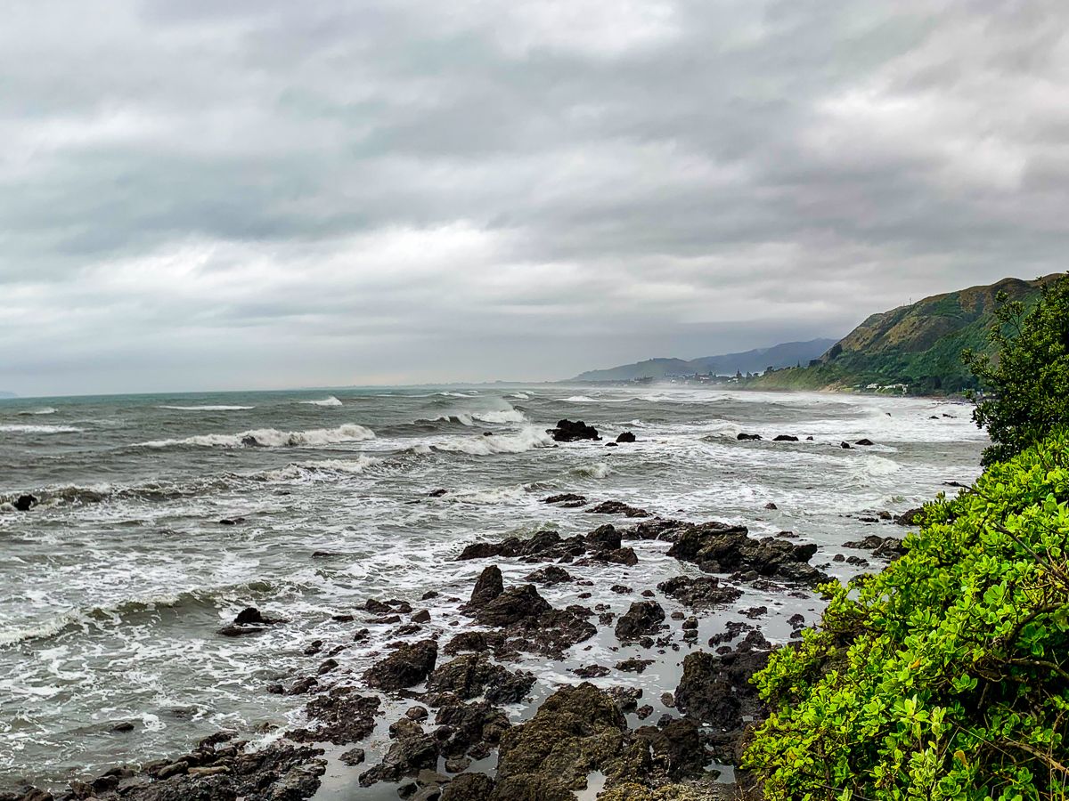
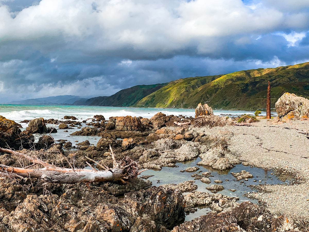
Te Araroa traverses the area, incorporating the Waikanae River Track, Waikanae Estuary, Paraparaumu Beach, and the impressive Paekākāriki Escarpment Track. This track has stunning views of the coast and Kāpiti Island, and the tip of the South Island on clear days.
For campers, there are eight freedom camping sites and commercial campgrounds.


How to Get There
From Wellington, access is very easy, with the Metlink rail network serving stations in each town. For drivers, State Highway 1 (the motorway) has off-ramps from Paekākāriki to Waikanae.