Explore Cullen Road, Te Araroa
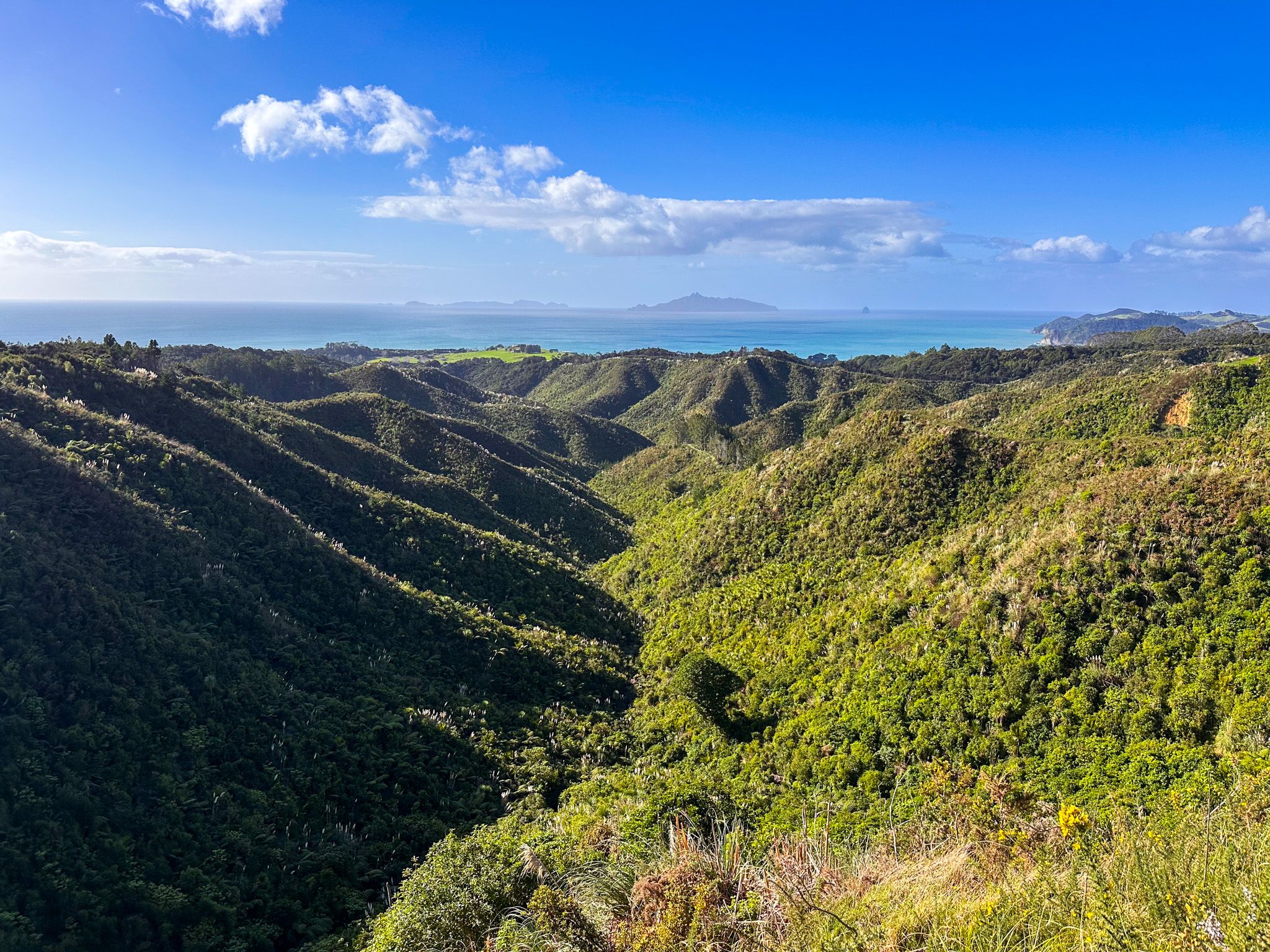
Cullen Road climbs 260 meters, inland from Cove Road between Waipū and Waipū Cove into the Brynderwyn Hills in Northland. The road is a section of Te Araroa and connects to the Langsview Track, also a section of Te Araroa that runs along a 260-metre high ridge in the Brynderwyn Hills. The road also provides a scenic drive and an alternative northern access to the Tanekaha Forest, including the Tanekaha Falls Track.
Coastal Views
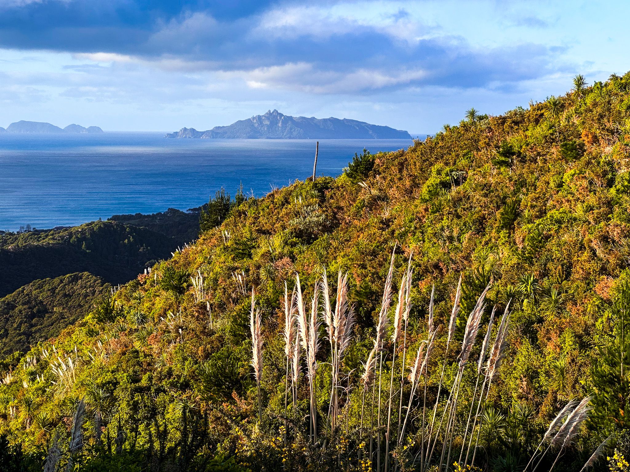
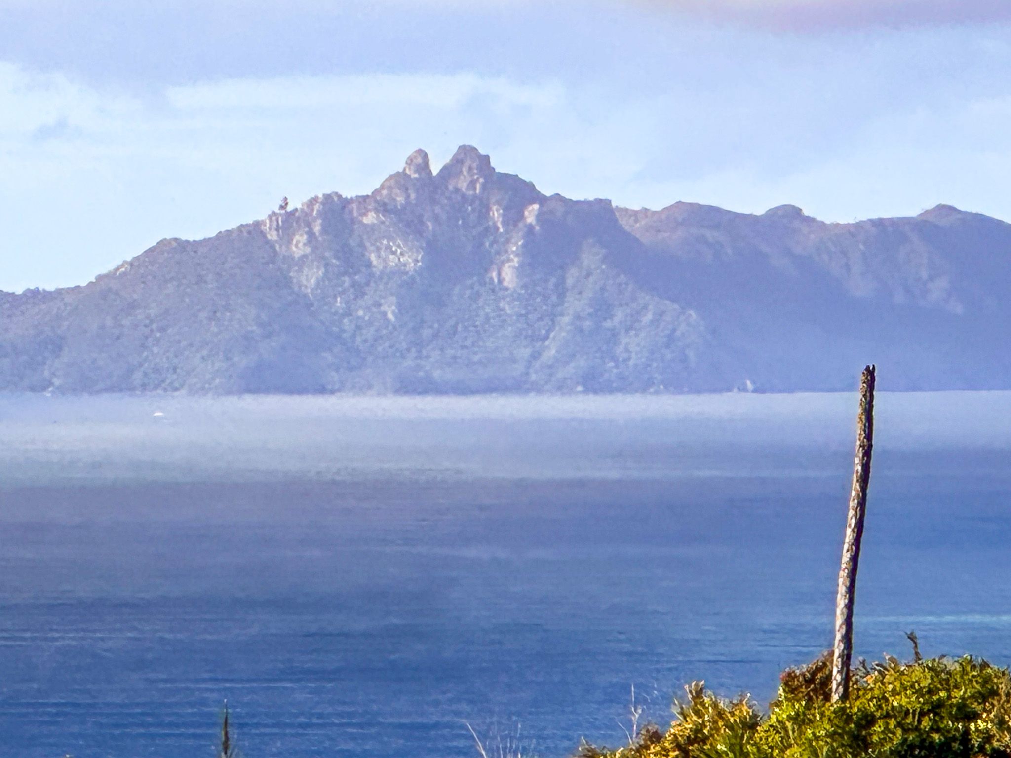
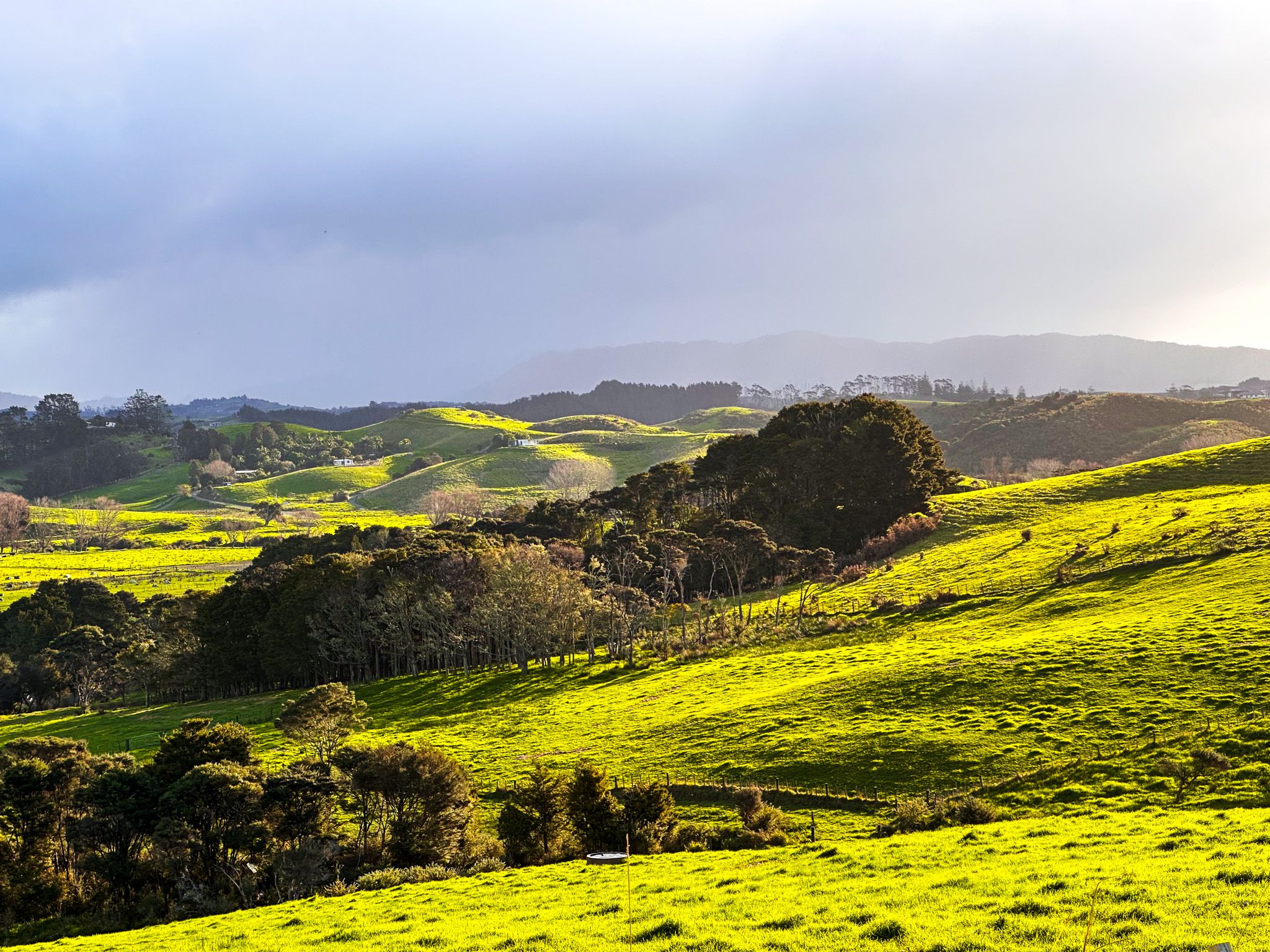
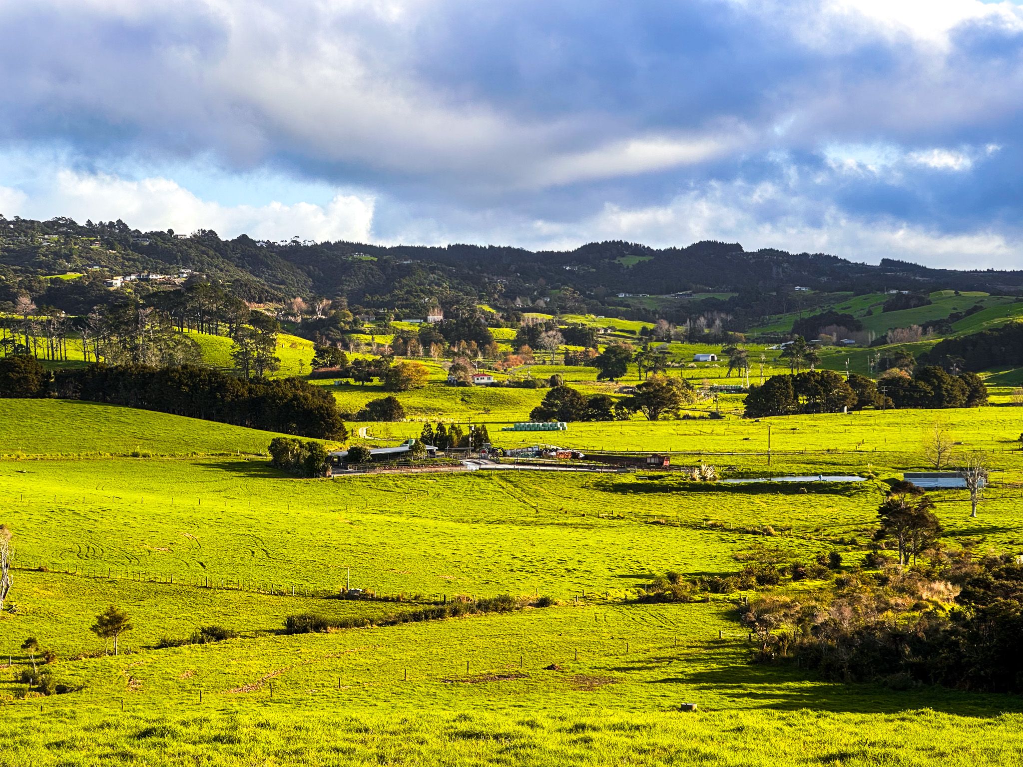
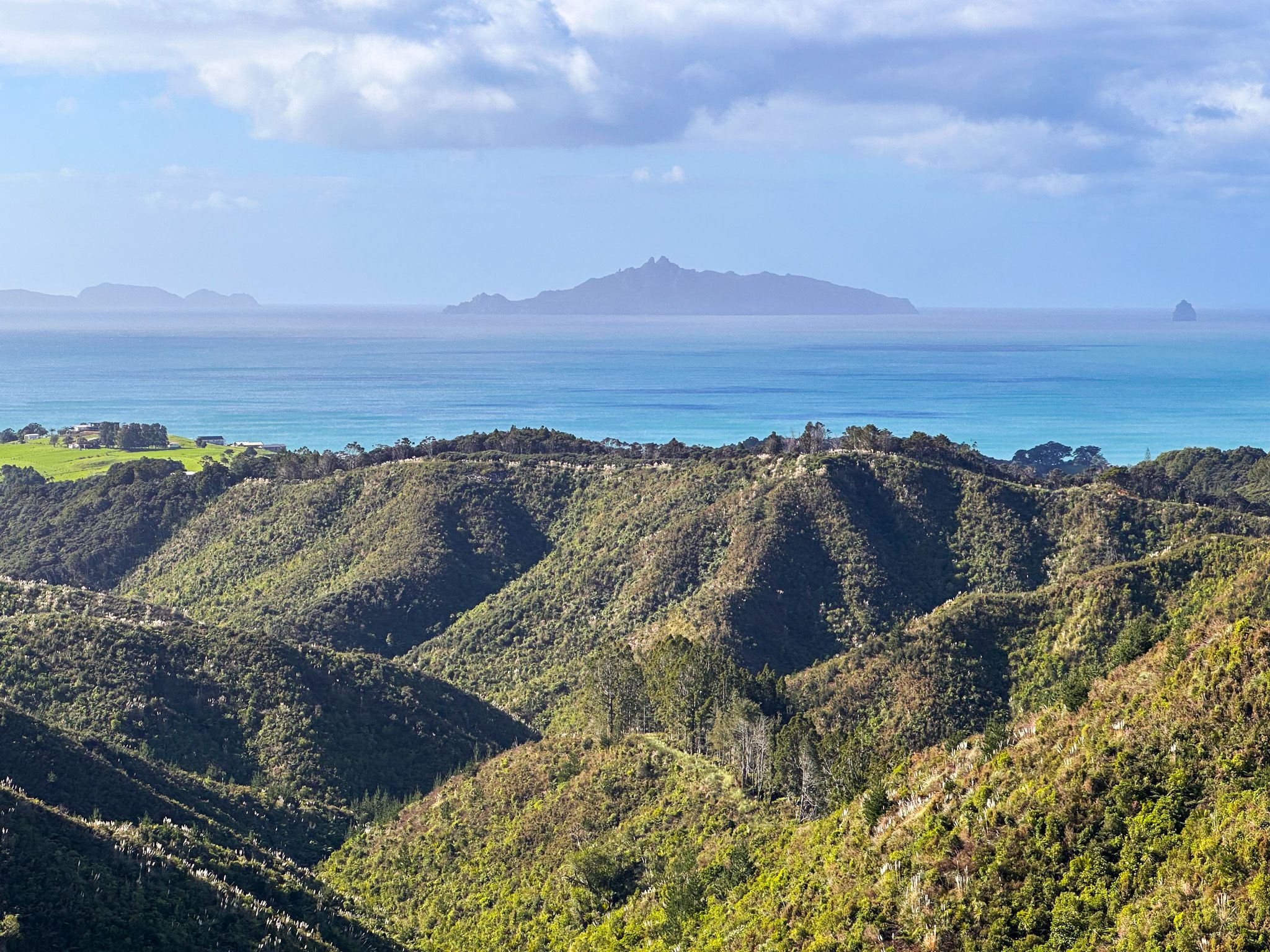
The lower part of the road is sealed for about 3 km. It then turns to gravel and mostly follows a steep ridgeline south, with superb views over Waipū Cove and the long sweep of Bream Bay to Bream Head. After 3 km, there is a parking area, also with fabulous views.
Access to Walking Tracks
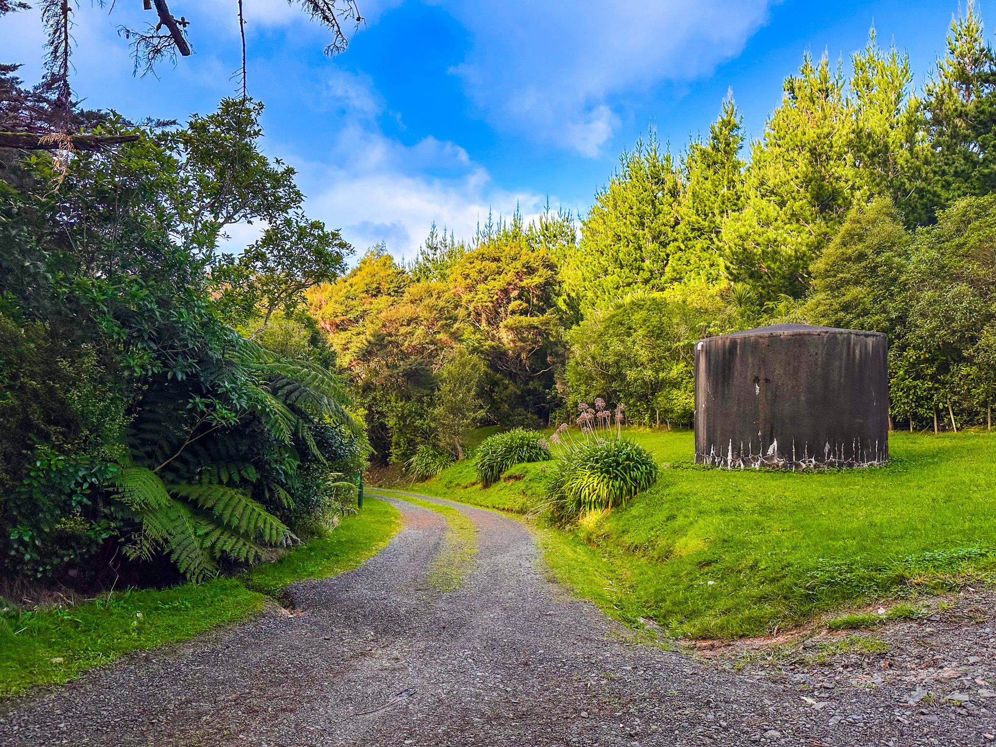
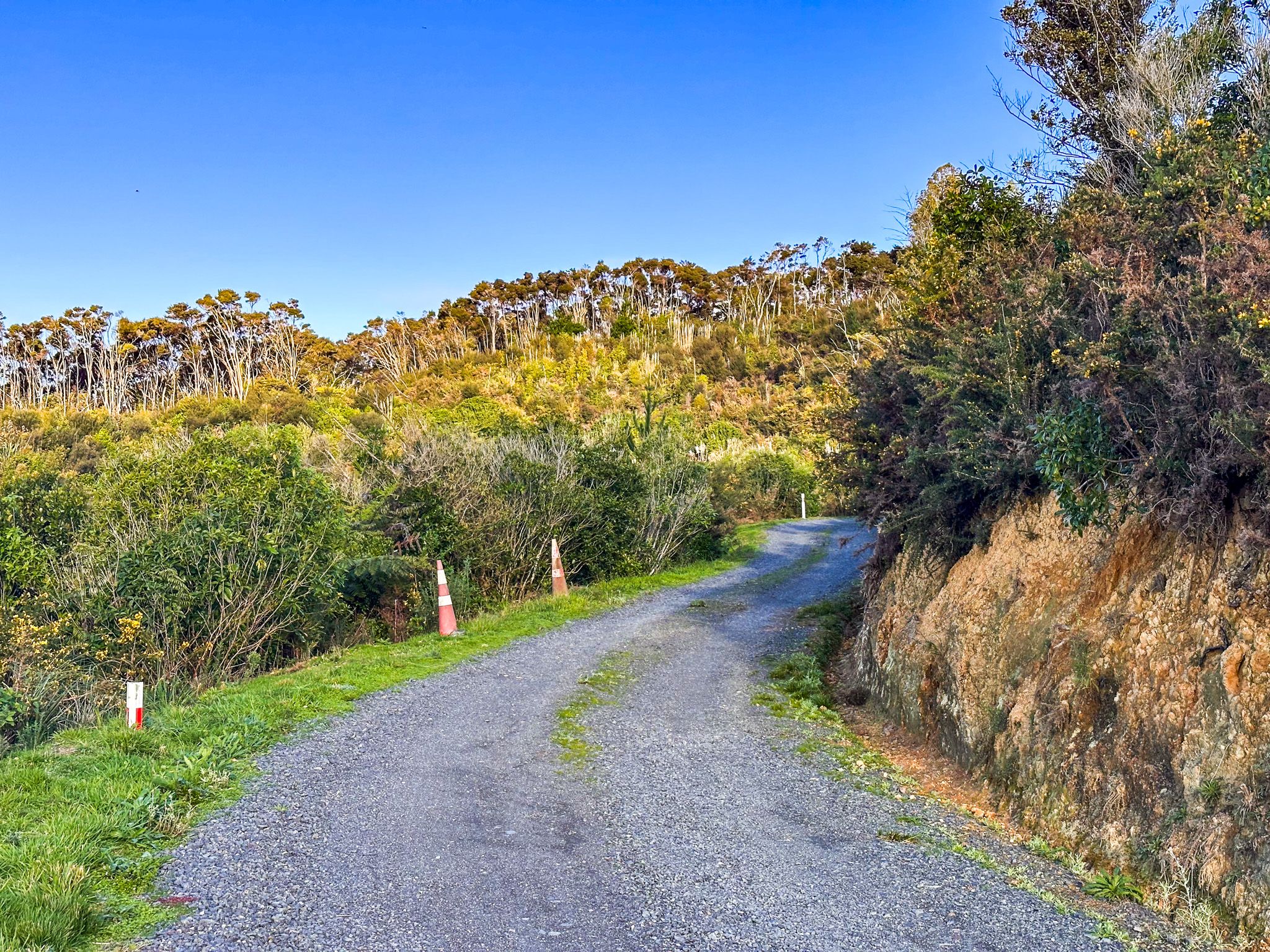
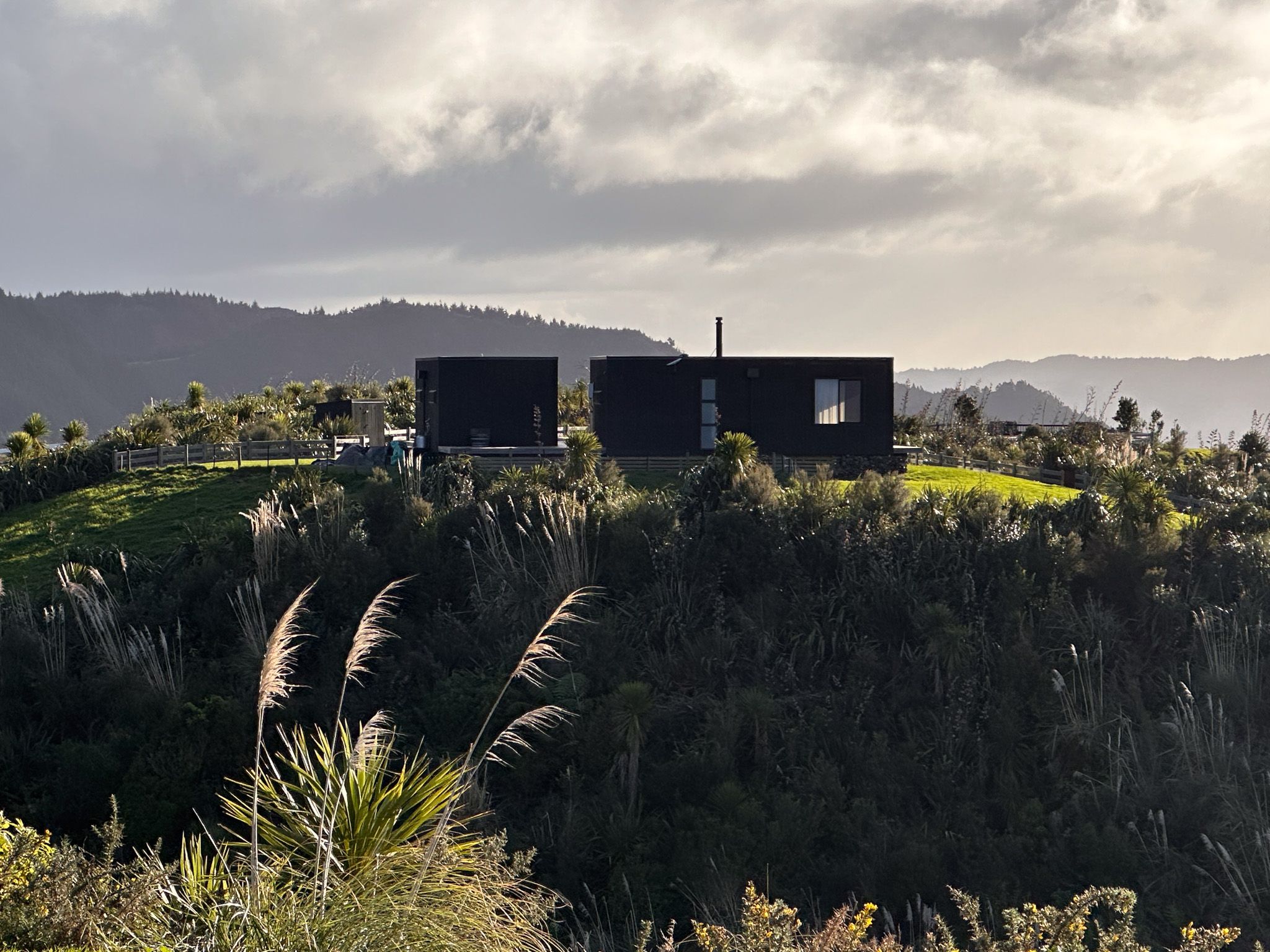
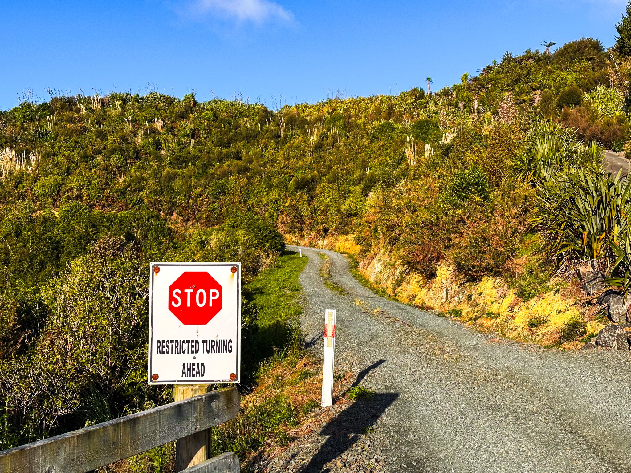
It’s an easy drive for the first six km to the parking area. Beyond this, the road narrows to one lane with steep roadside drops (not cliffs) and a warning sign. This narrow section of the road is about 600 metres long and reaches some large water tanks on the northern edge of the Tanekaha Forest, with space for a few cars to park. Although the road then leads to several houses, there are no other realistic parking options. There are a few houses at the end of the road, so there is a greater chance of meeting an oncoming vehicle than you may expect. If you are not comfortable, park at the viewpoint and walk from there.
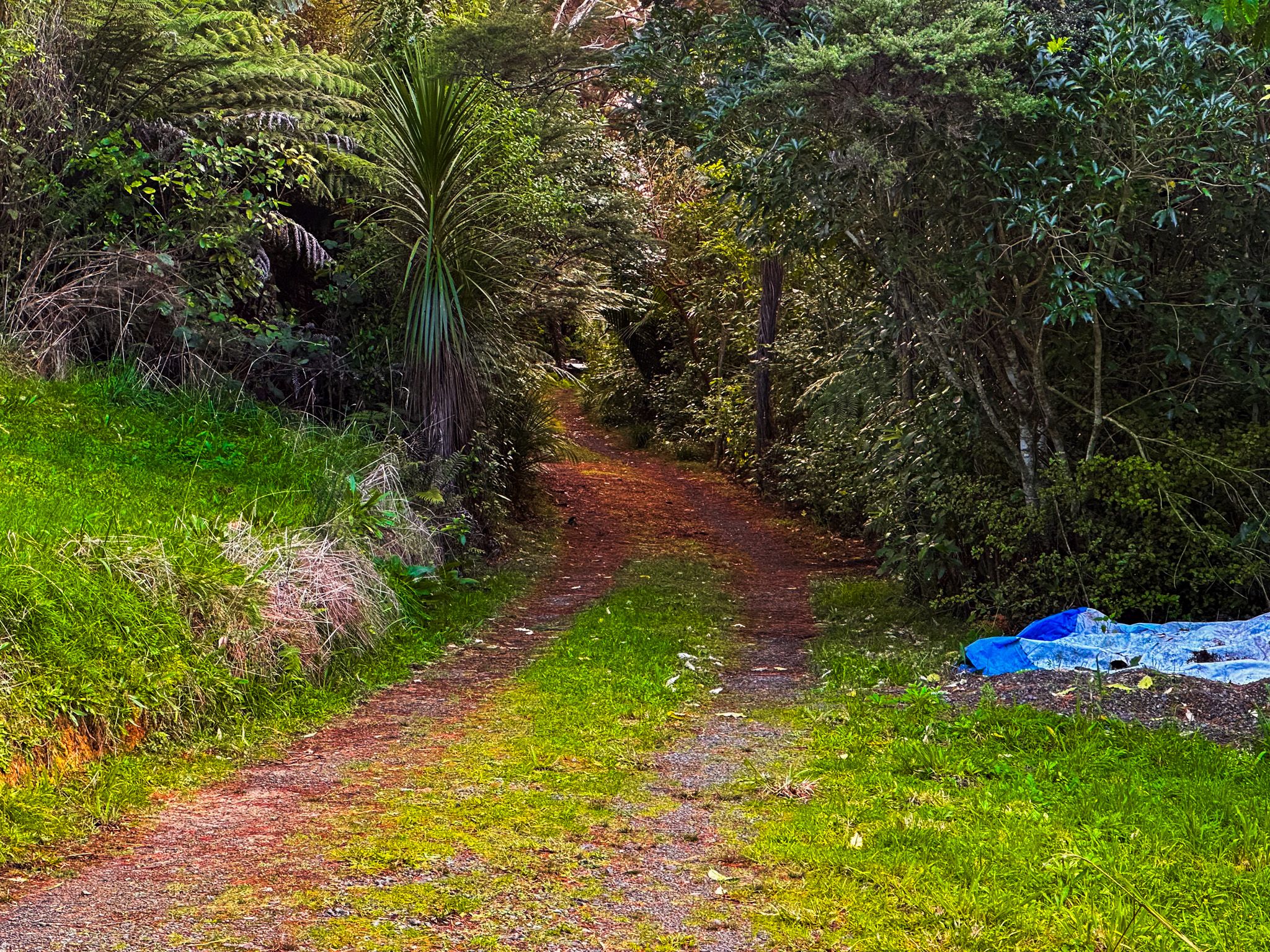
From the water tanks, a short walk east along the road past several houses ends at the Langsview Track start. Continuing a little further along the track, you will see the access to the upper section of the Tanekaha Falls Track, which descends steeply through native forest regrowth to the first of a series of waterfalls and a kauri dam remnant.
History and Culture
Cullen Road takes its name from early European settlers in the Waipū area, descendants of the 1850s Scottish migration led by Reverend Norman McLeod. The surrounding Brynderwyn Hills have long been part of the rohe of Ngātiwai, who used the ridges as routes between the coast and inland forests. In the 20th century, parts of the ridge were milled for timber, especially kauri, and later replanted in exotic pine. The Tanekaha Forest at the end of the road is a significant reserve for native forest recovery.
Getting There
Cullen Road is 2 km along Cove Road from Waipū Cove.
From Cullen Road, link directly to the Langsview Track or descend into the Tanekaha Forest Walks for waterfalls and native forest. After your hike, relax at Waipū Cove, or head north to Mangawhai Heads for food, markets, more fantastic walks and the surf beach.