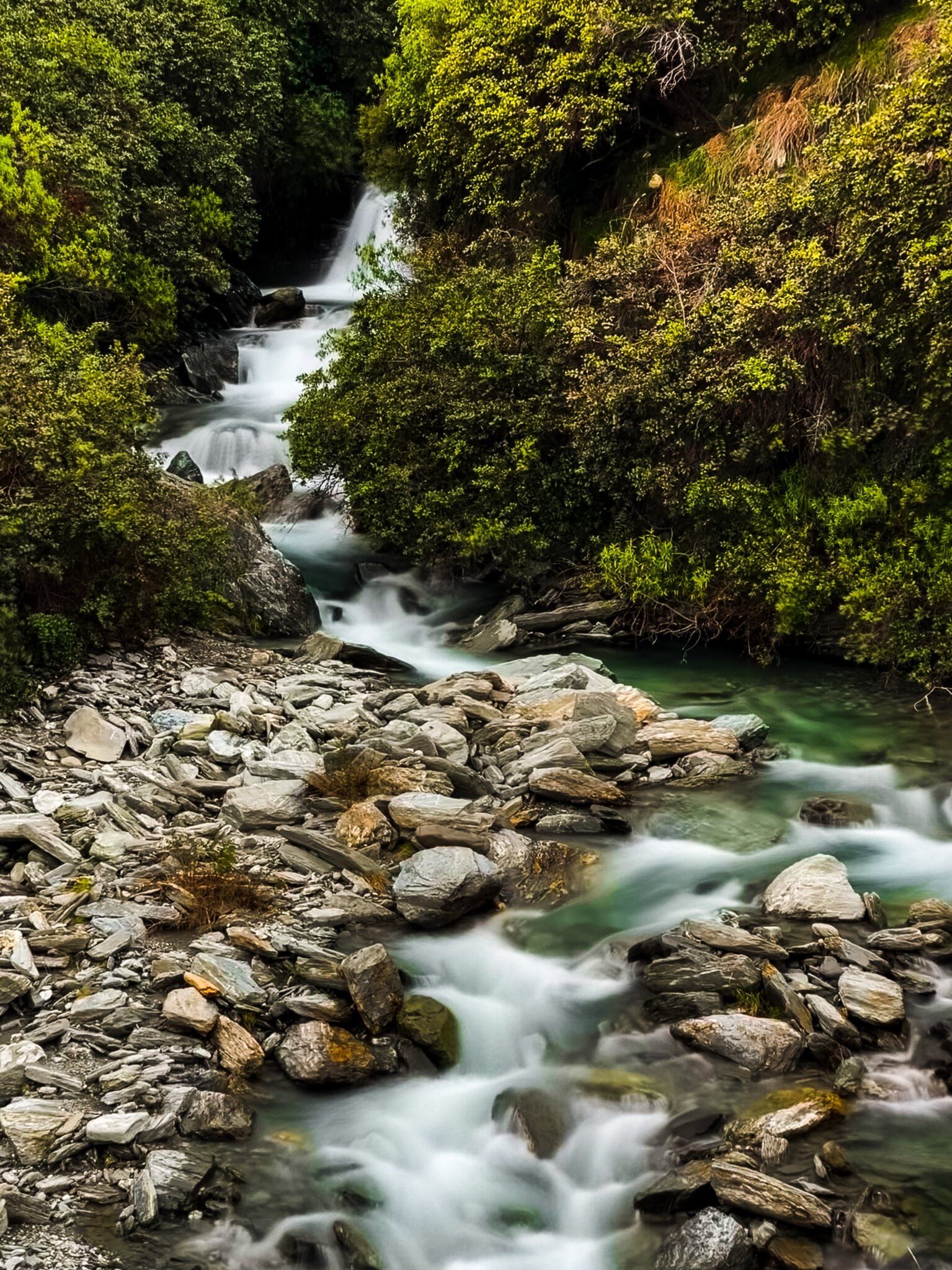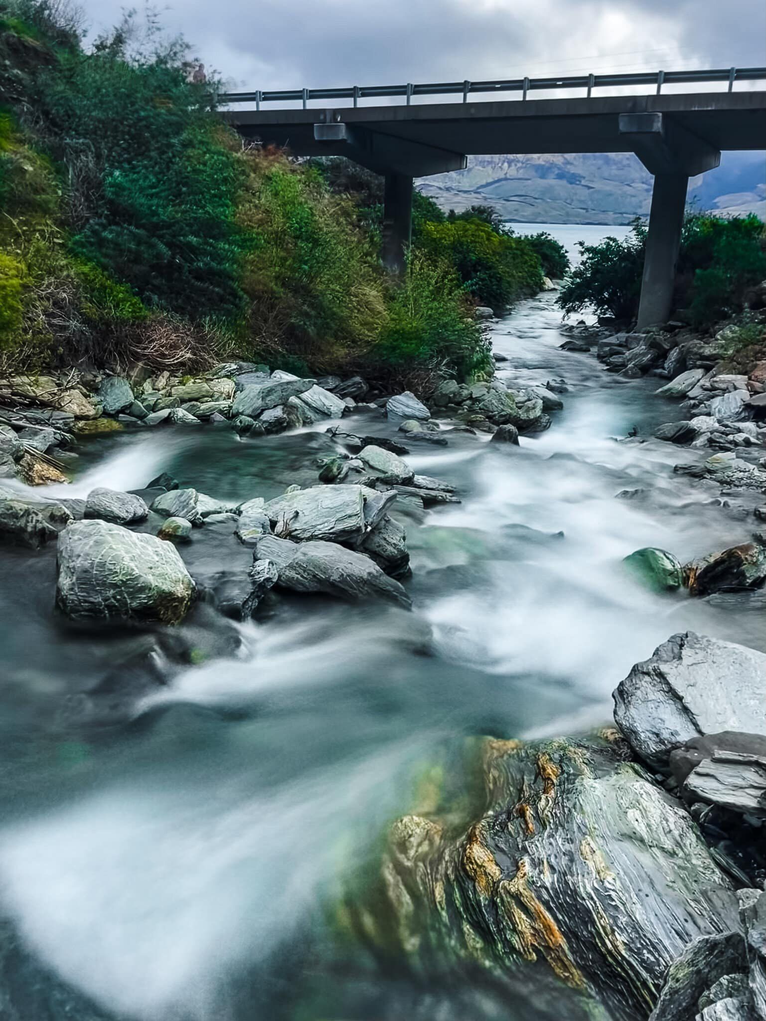
Discovering Camp Creek Waterfall
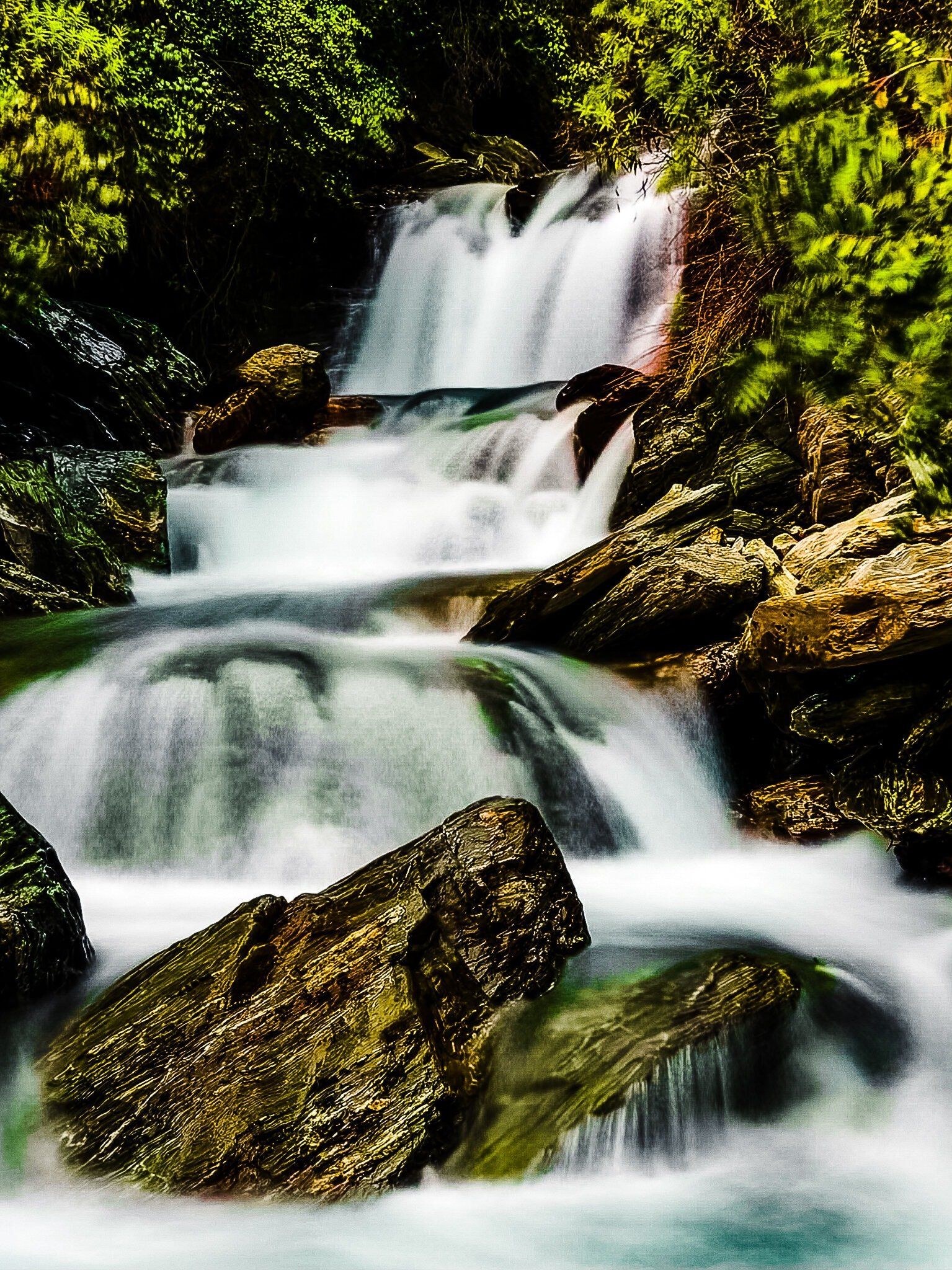
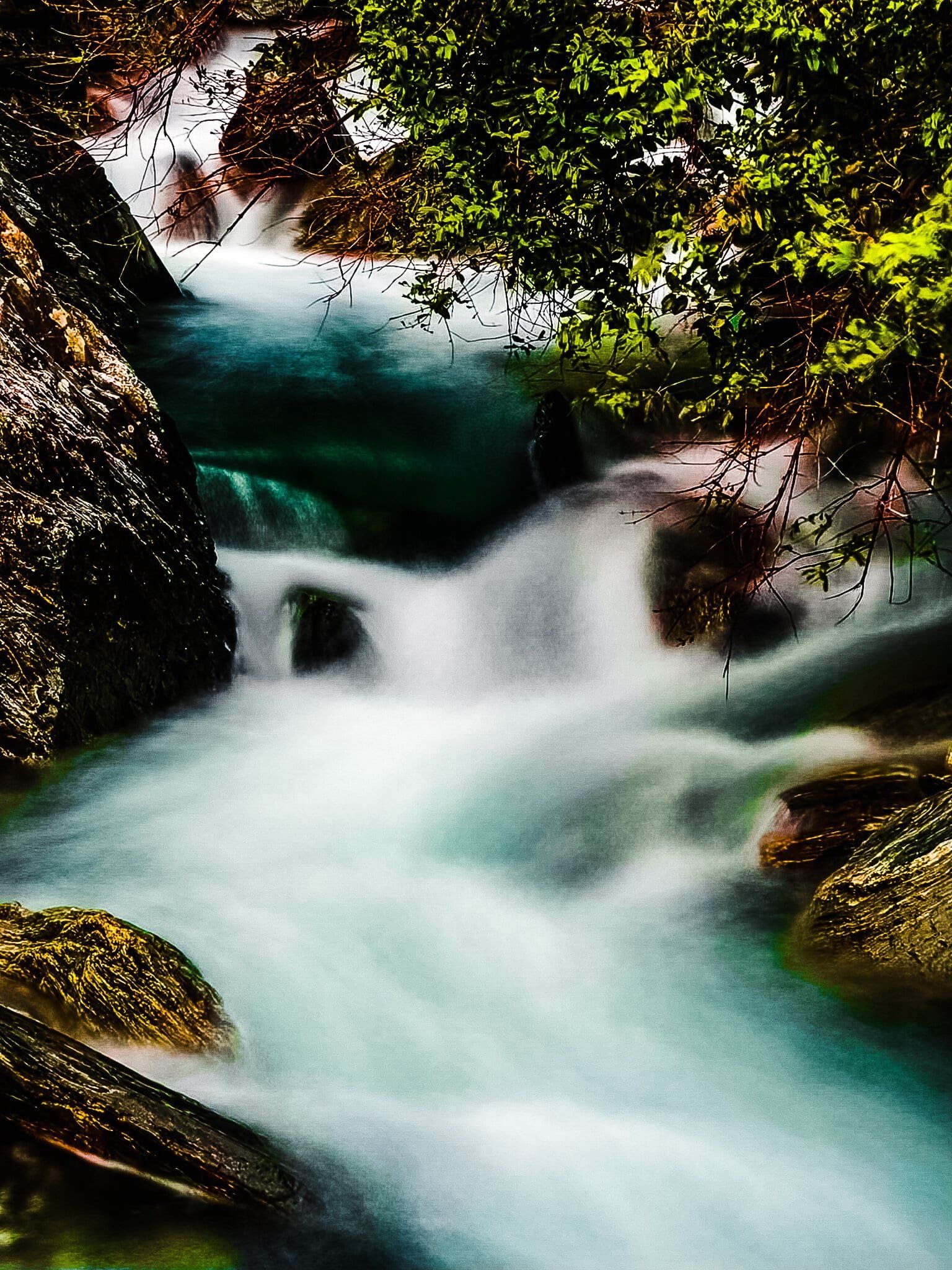
Camp Creek is a notable mountain stream located along State Highway 6, just beyond the isthmus between Lake Hāwea and Lake Wānaka. The creek features an impressive waterfall, visible from the road. You can also safely stop nearby and get closer on foot.
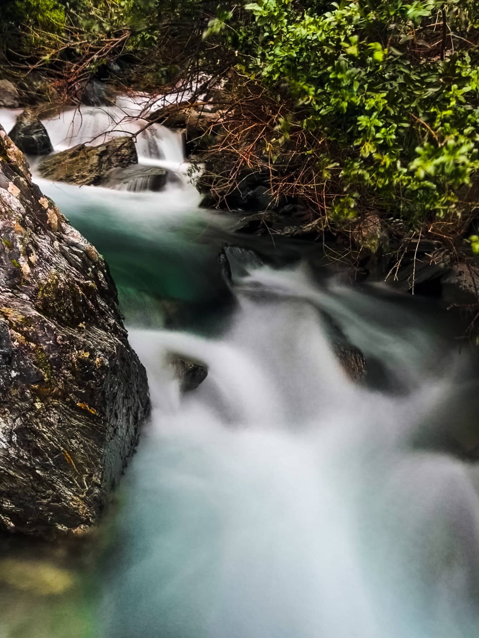
Exploring the Stream
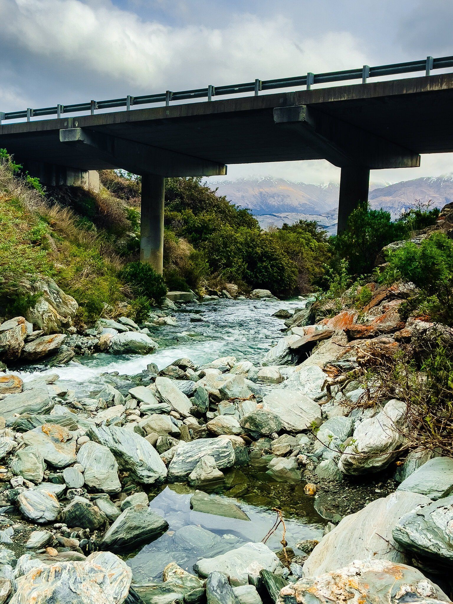
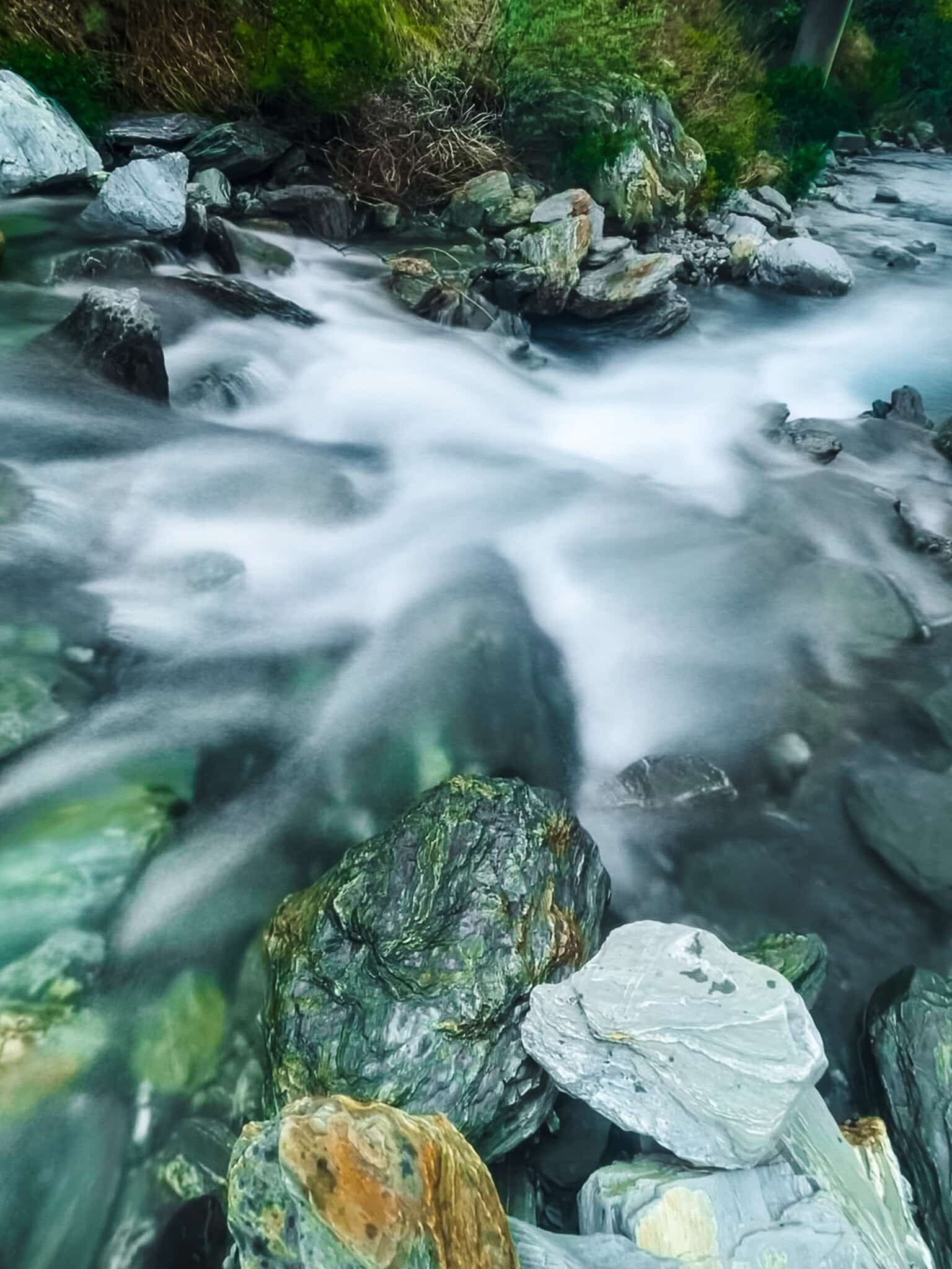
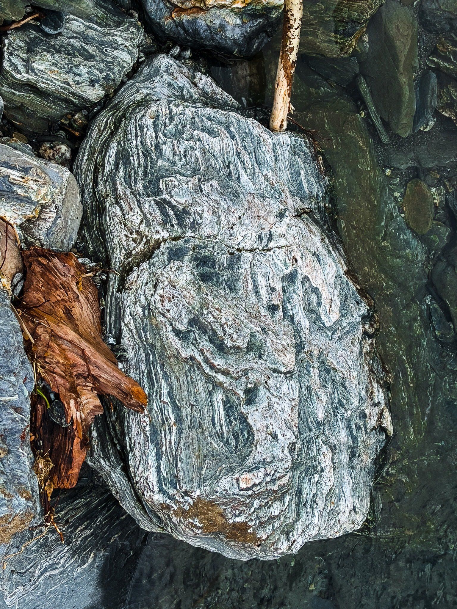
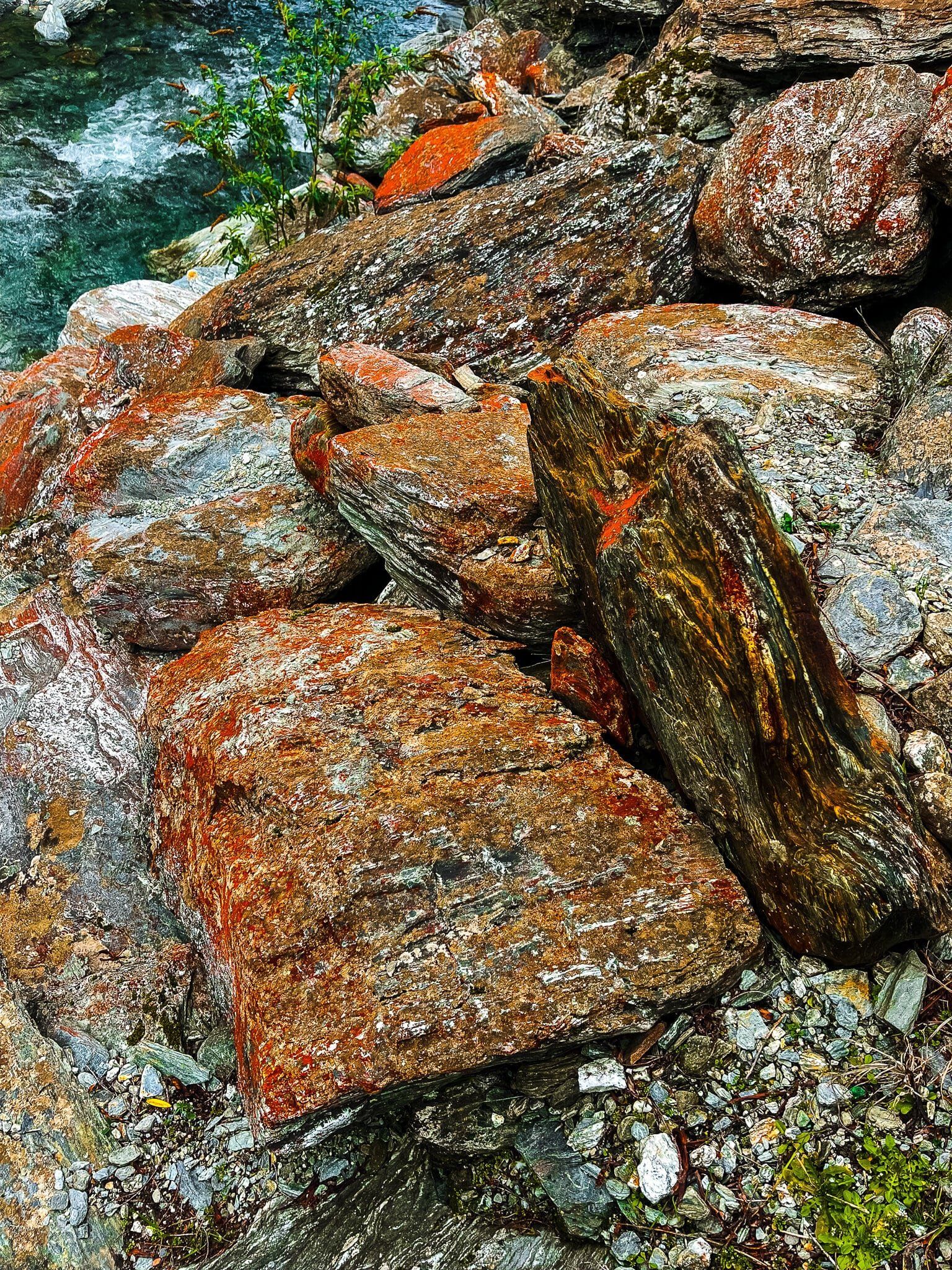
To get a closer look at the waterfall, you can park near the bridge over Camp Creek. From there, descend to the stream on the north side. As you navigate along the rocks and stones, you'll be rewarded with a better view of the waterfall. The rocks in the area are adorned with red-orange lichen, adding a splash of colour to the natural scenery.
How to Get There
To reach Camp Creek, drive north on State Highway 6 from the Isthmus for about 4.5 km. There is no sign marking the waterfall, but the bridge does have a Camp Creek sign. Park on the side of the road where there is enough space.
Continue north for around 3.5 km, and there is another roadside waterfall at Waterfall Creek. To the southeast, you can explore Kidds Bush and Sawyer Burn Track on the edge of Lake Hawea, or undertake the strenuous Isthmus Peak Track.