Explore Banks Peninsula / Horomaka
Stretching east of Christchurch / Ōtautahi, Banks Peninsula (Horomaka) is one of the South Island’s most distinctive landforms: a rugged, semi-circular headland made up of two ancient volcanic craters. On the edge of Christchurch, the peninsula is best known to locals for the Port Hills, the steep west-northwest side of the Lyttelton crater, with several Christchurch suburbs along the crater's flanks, and the attractive port town of Lyttelton.
For travellers, it is best known for Akaroa and its French settler history. The peninsula is also home to dramatic crater-edge roads with exceptional views, quiet coastal villages, native bush reserves and more than 50 scenic bays carved by lava and erosion.
Crater Rims, Harbours and Ancient Lava Flows
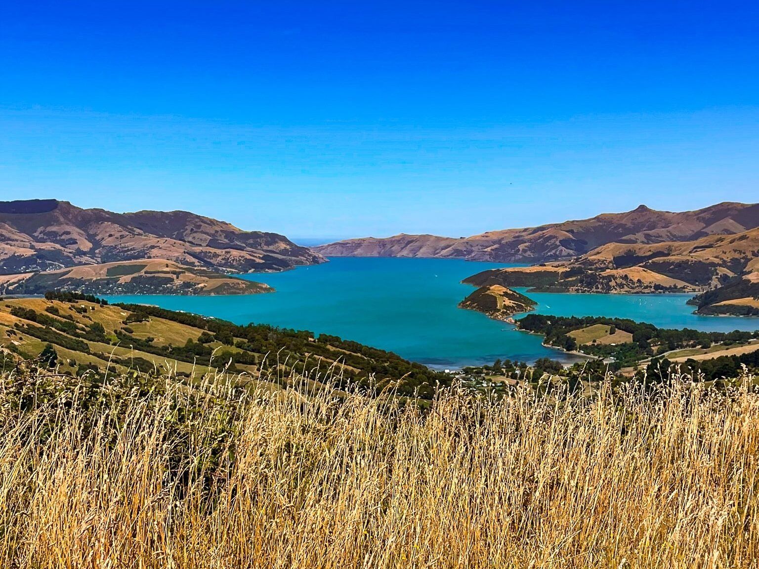
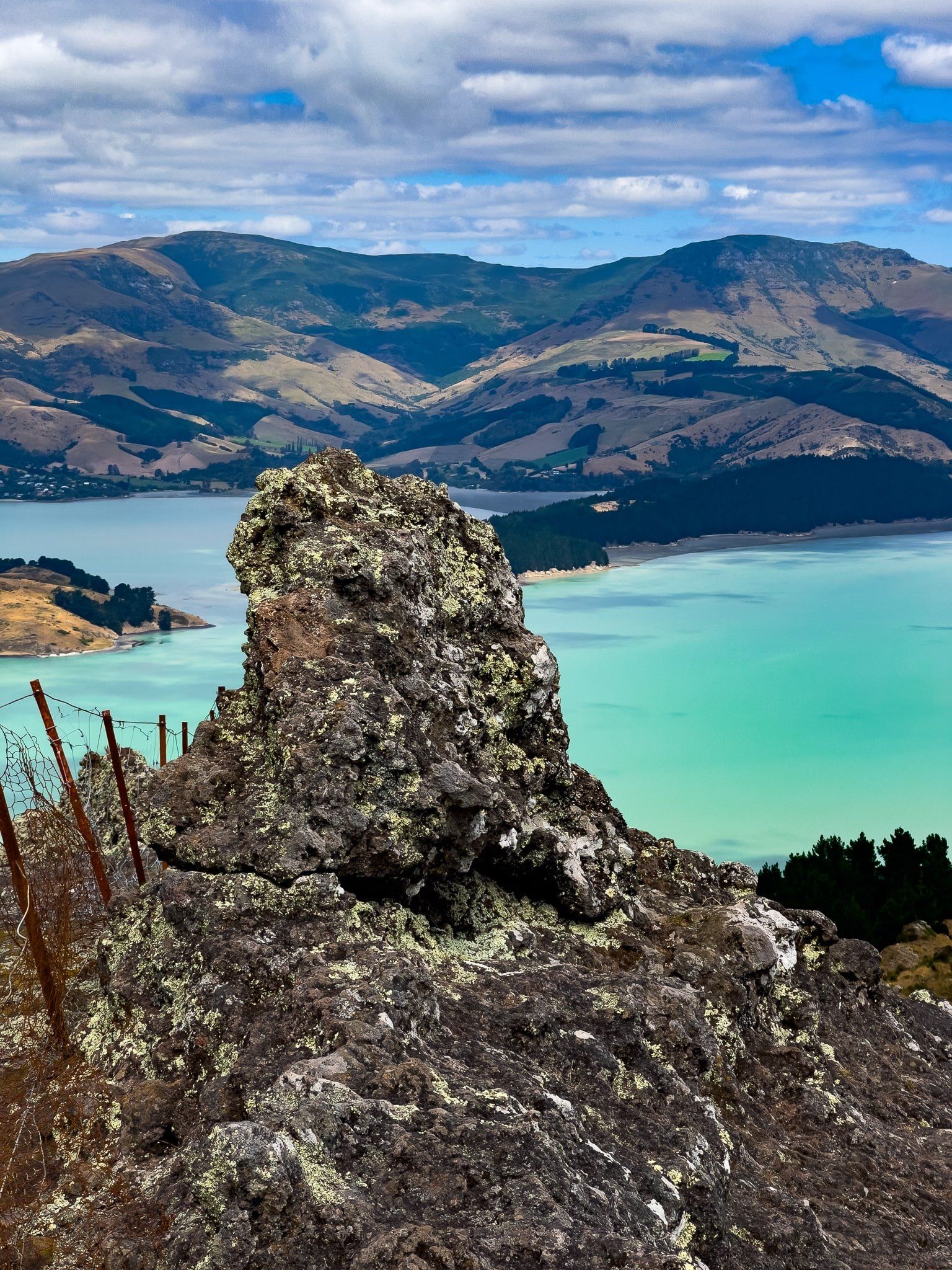
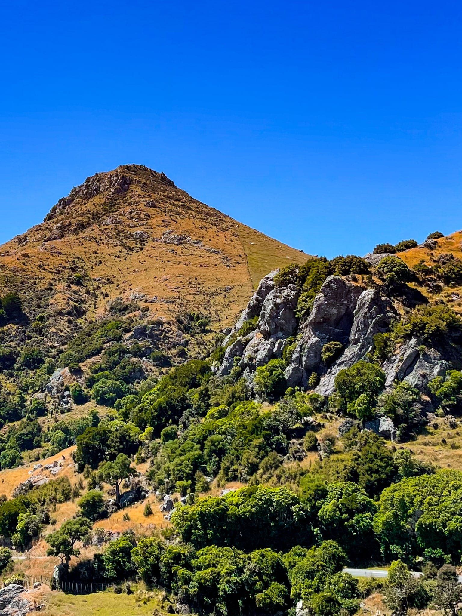
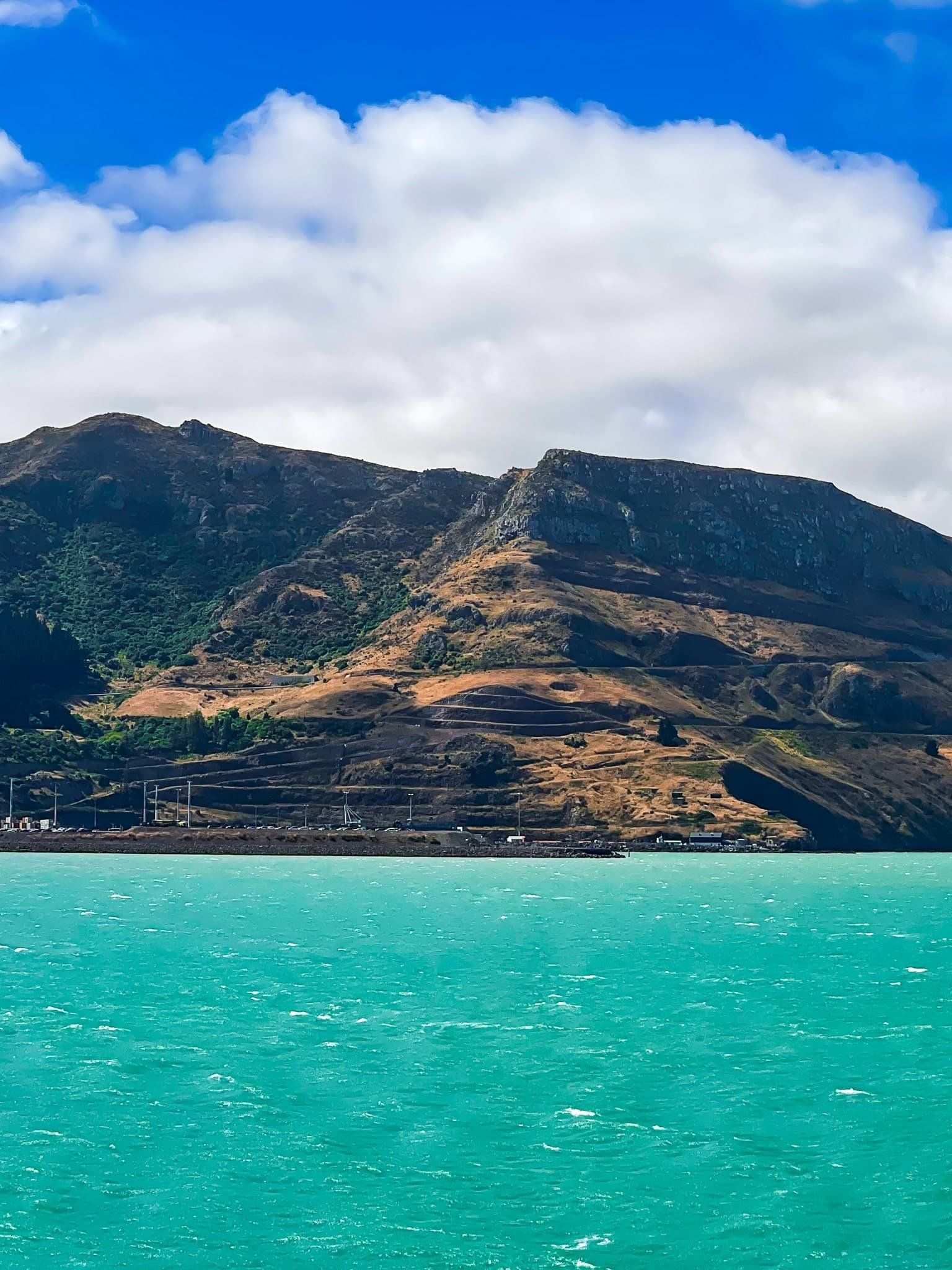
The peninsula’s standout features are its two great harbours: Lyttelton Harbour (Whakaraupō) and Akaroa Harbour, each formed from the eroded calderas of massive shield volcanoes that erupted between 8 and 11 million years ago. The high ridgelines that wrap around these harbours are their original crater rims, reaching elevations of up to 700 metres. A third ancient volcano, Mount Herbert / Te Ahu Pātiki, rising to 919 metres, lies between the harbours. Two separate roads, both named "Summit Road", follow half of each crater, with panoramic views over the harbours, bays, rolling farmland, Christchurch and the Canterbury Plains.
Lava flows from these eruptions also created a distinctive pattern of long ridges and deeply cut valleys. Where fingers of lava once extended toward the sea, you’ll now find remote inlets and beaches, some only accessible by boat, while others are tucked at the end of winding roads.
Walking, Riding and Scenic Routes
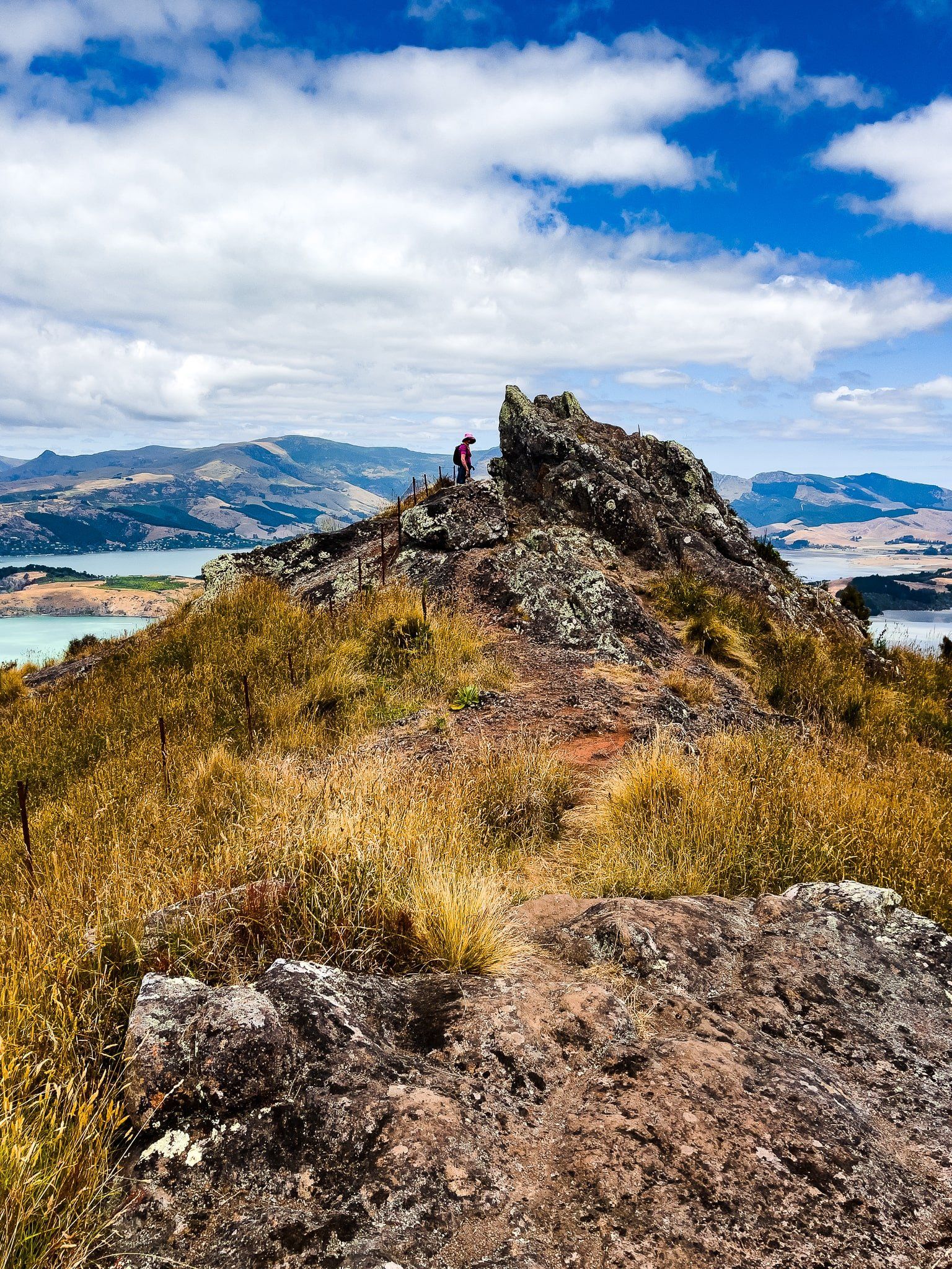
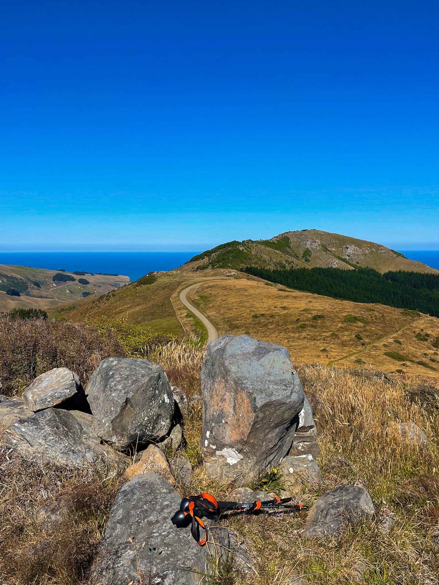
Banks Peninsula provides plenty of opportunities for walking, cycling and scenic driving. The Summit Road above Lyttelton Harbour is a classic route that starts at Dyers Pass Road and winds along the rim to Gebbies Pass, connecting with numerous short walks, viewpoints and mountain bike trails in the Port Hills. You can also reach Mount Cavendish via gondola, with tracks extending from the upper station along the ridge.
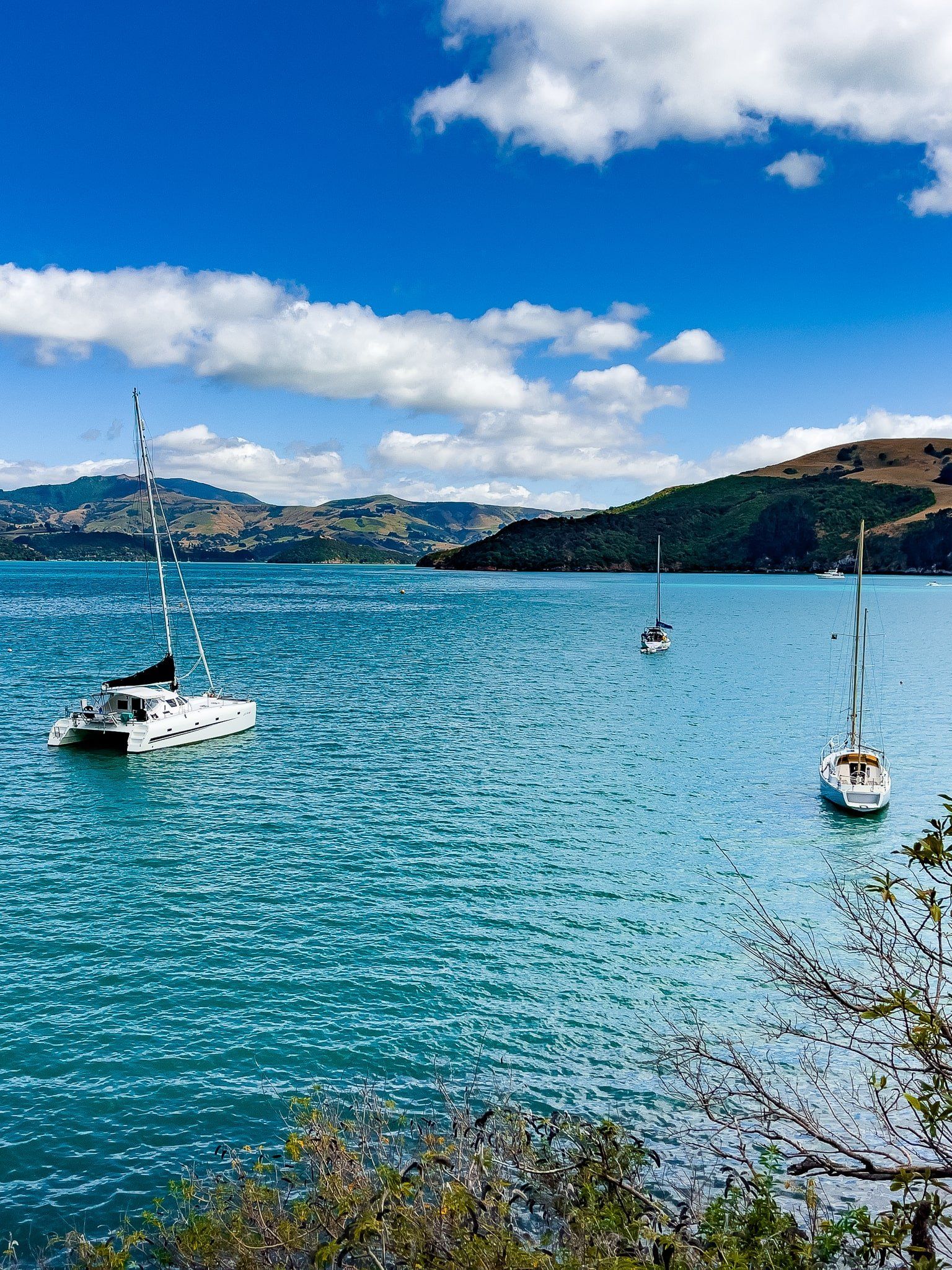
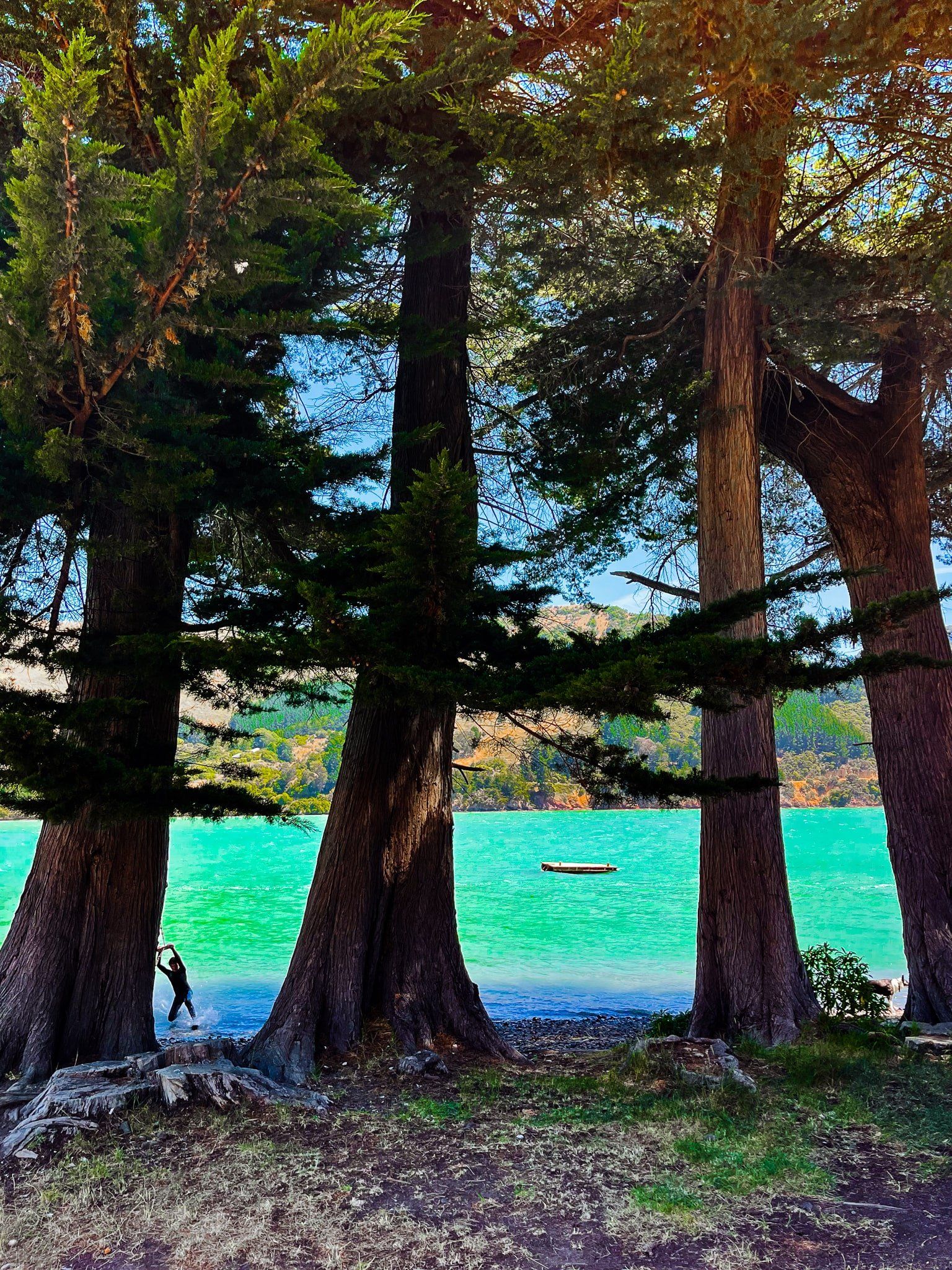
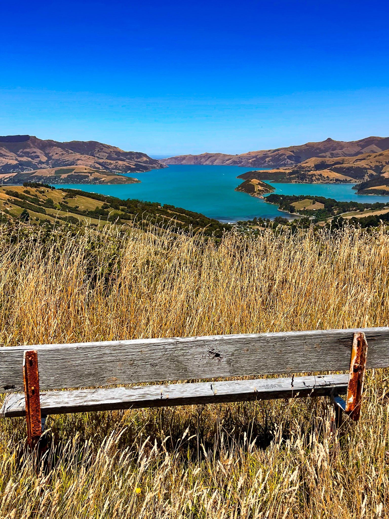
Beyond Gebbies Pass, the Summit Road climbs the Akaroa crater rim. From Hilltop, you can descend into Le Bons Bay, Okains Bay, Little Akaloa, and Pigeon Bay, each nestled at the end of narrow valleys with beaches and turquoise water, surrounded by steep, green hills. The drive from Akaroa to these bays takes around 30 minutes and reveals the peninsula’s dramatic volcanic contours at every turn.
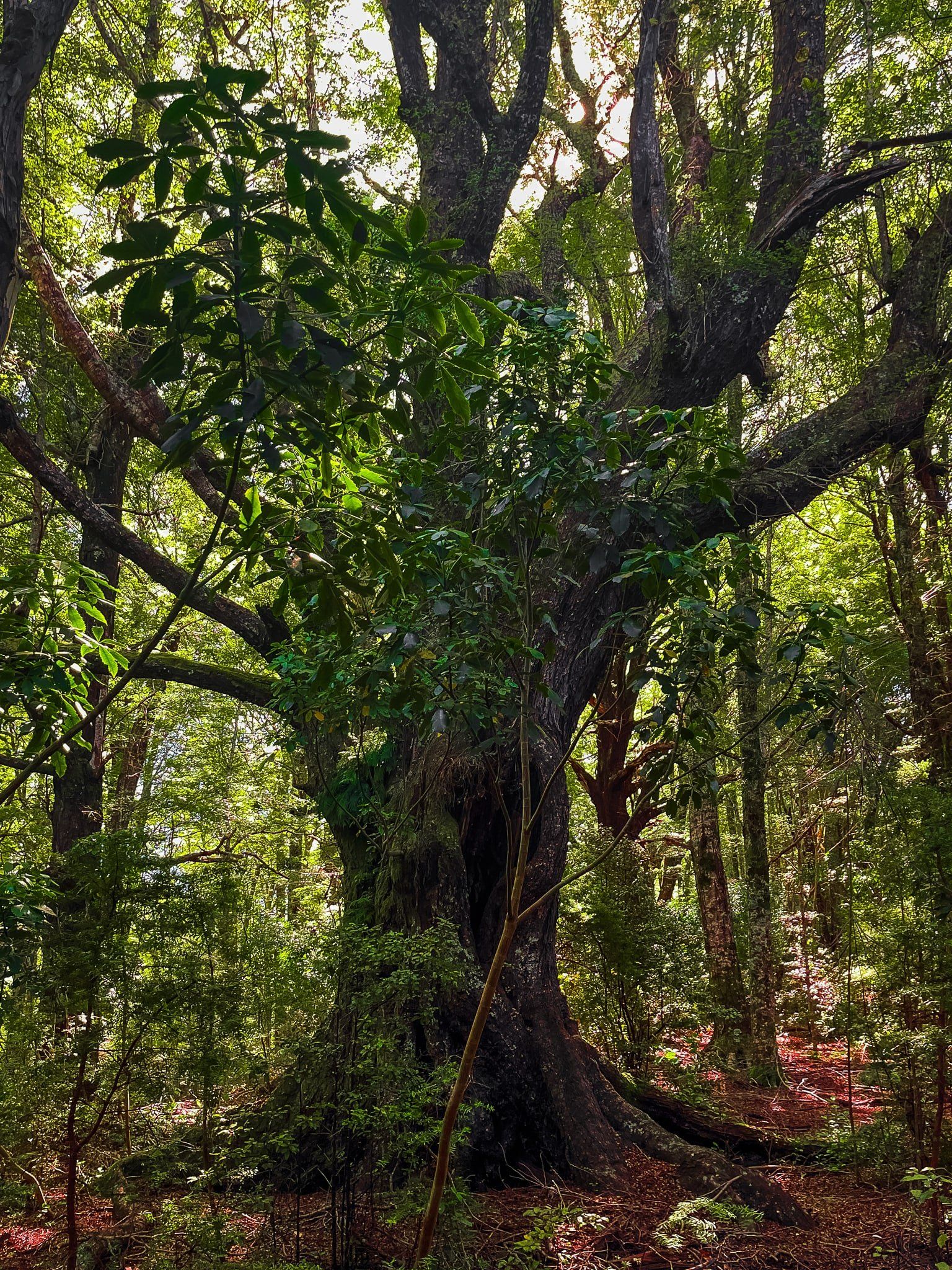
There are also walking tracks to Mount Herbert, accessible from Diamond Harbour, native forest trails at Ōtepātotu Scenic Reserve and Hinewai Reserve, both accessed from the Akaroa crater rim. These provide a hint of what the peninsula looked like before widespread forest clearance by early settlers.


Māori and French Legacies on the Peninsula
The peninsula’s Māori name, Horomaka, reflects its long history of occupation by Ngāi Tahu and earlier iwi. Whakaraupō (Lyttelton Harbour) and Akaroa were important for seasonal food gathering, travel and settlement, with pā sites once guarding strategic high points. The land’s volcanic origins and fertile soil made it highly valued, and its bays provided safe anchorage and kai moana.
During the Musket Wars, there was a particularly infamous incident around 1830 when Te Rauparaha attacked the Ngāi Tahu settlement at Takapūneke near Akaroa with the assistance of British sea captain John Stewart. Such acts of lawlessness prompted the British to appoint James Busby as the first British official representative to New Zealand in 1832, leading to He Whakaputanga (the Declaration of Independence of the United Tribes of New Zealand) and setting the stage for the Treaty of Waitangi in 1840. Ōnewa Pā in Akaroa Harbour was also sacked by Te Rauparaha during this period.
The European name, Banks Island, was given by Captain James Cook in 1770 in honour of Joseph Banks, mistakenly identifying it as an island. The error was corrected in 1809 when Captain Samuel Chase of the ship Pegasus proved it was a peninsula. In the 19th century, mainly British settlers established farms and small townships. Akaroa was famously settled by French immigrants, who arrived after the Treaty of Waitangi was signed. Today, the town still reflects this influence in its street names, architecture and culture.
Towns, Forest Reserves and a Museum
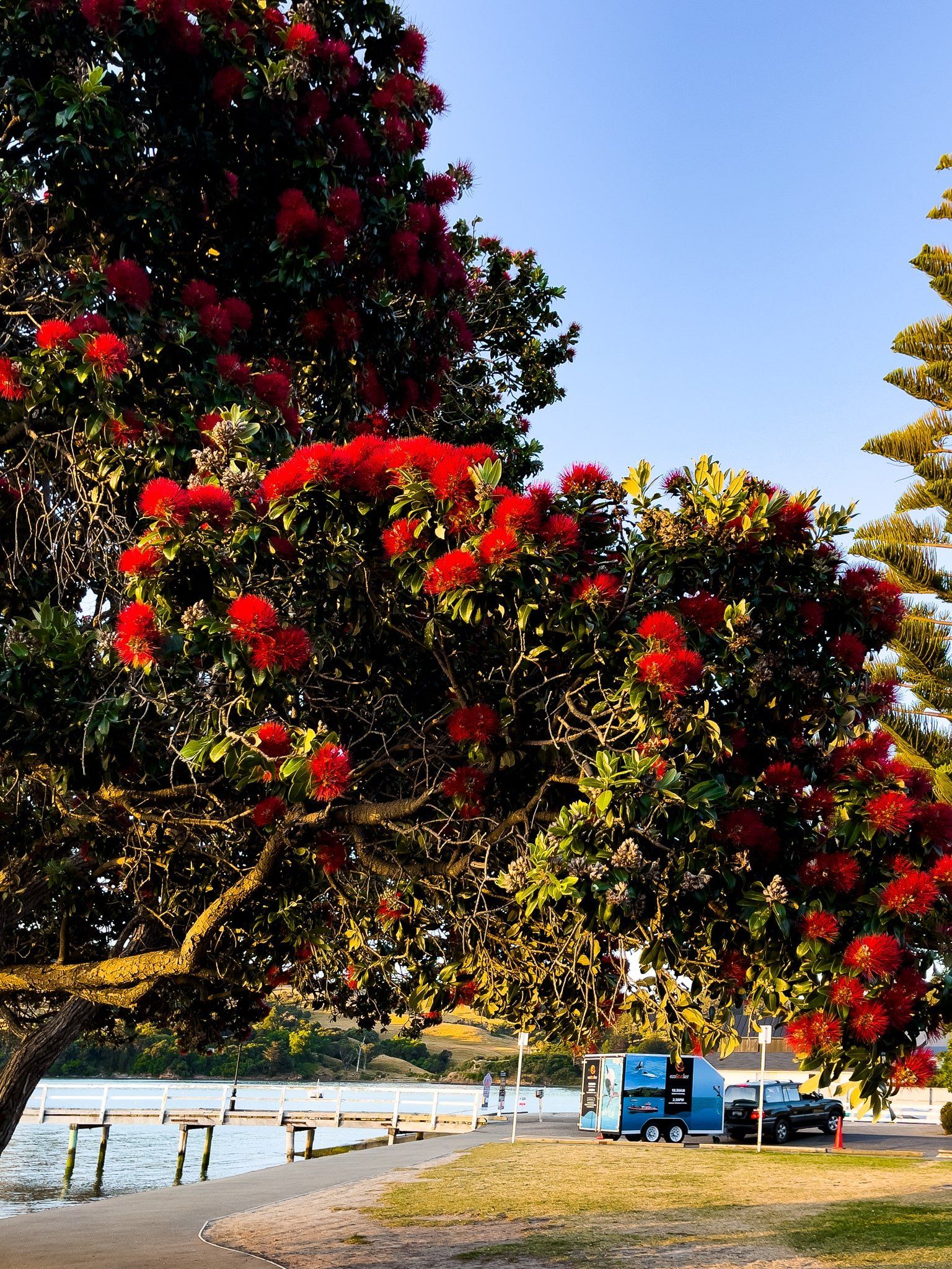
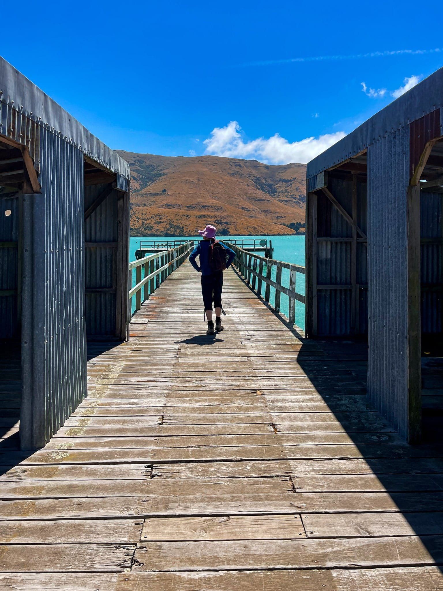
Beyond Akaroa and Lyttelton, the peninsula includes lesser-known harbour communities like Governors Bay, Diamond Harbour, Charteris Bay, and Port Levy, each with its own charm, short walks and sea views. The coastline is dotted with small reserves and beaches, many popular for kayaking, swimming or boat launching.
Back on land, the Okains Bay Museum is superb, with many insights into the lives of both Māori and early European settlers. Founded by the late Murray Thacker, it houses rare taonga, farming equipment, historic buildings and everyday objects gathered from across the peninsula’s communities.
How to Get There
From Christchurch, the fastest route to Akaroa is via State Highway 75, which follows the southern edge of the peninsula through Little River, then climbs up to the edge of the Akaroa crater at Hilltop, where you can connect with Summit Road or continue on the highway to Akaroa. The drive to Akaroa is 82 km and takes 1.5 hours.
For access to the Port Hills, take Dyers Pass Road, which climbs 350 metres from the city to connect with Summit Road at Sign of the Kiwi. The drive takes 17 minutes and is 8 km.
You can also take State Highway 74 from Christchurch through the Lyttelton Tunnel to Lyttelton.
Other places to visit on the fringe of the peninsula include Birdlings Flat, Awaroa / Godley Head, Sumner and Taylors Mistake.