Discovering Port Levy (Potiriwi) / Koukourarata
Port Levy (Potiriwi) / Koukourarata is located between Lyttelton Harbour and Pigeon Bay on Banks Peninsula. This area is notable for its multi-barrelled name, with Potiriwi a Māori transliteration of the English name, and Koukourarata being the traditional Māori name. The European name originates from Solomon Levey, an Australian merchant active in the 1820s. The bay's early history and stunning harbour environment make it a fascinating destination.
Historical and Cultural Significance
During the time of European settlement, Port Levy had the peninsula's largest Māori community with around 400 people. The bay was named Koukourarata by the Ngāi Tūāhuriri chief Moki. It was also the residence of Tautahi, the chief after whom Ōtautahi, the area where Christchurch was later established, was named.
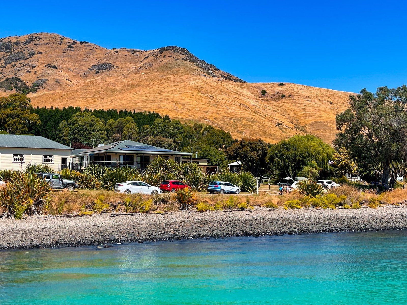
Today, the Ngāi Tahu presence is still evident through the Koukourarata marae. The current population of Port Levy is about 100 full-time residents.
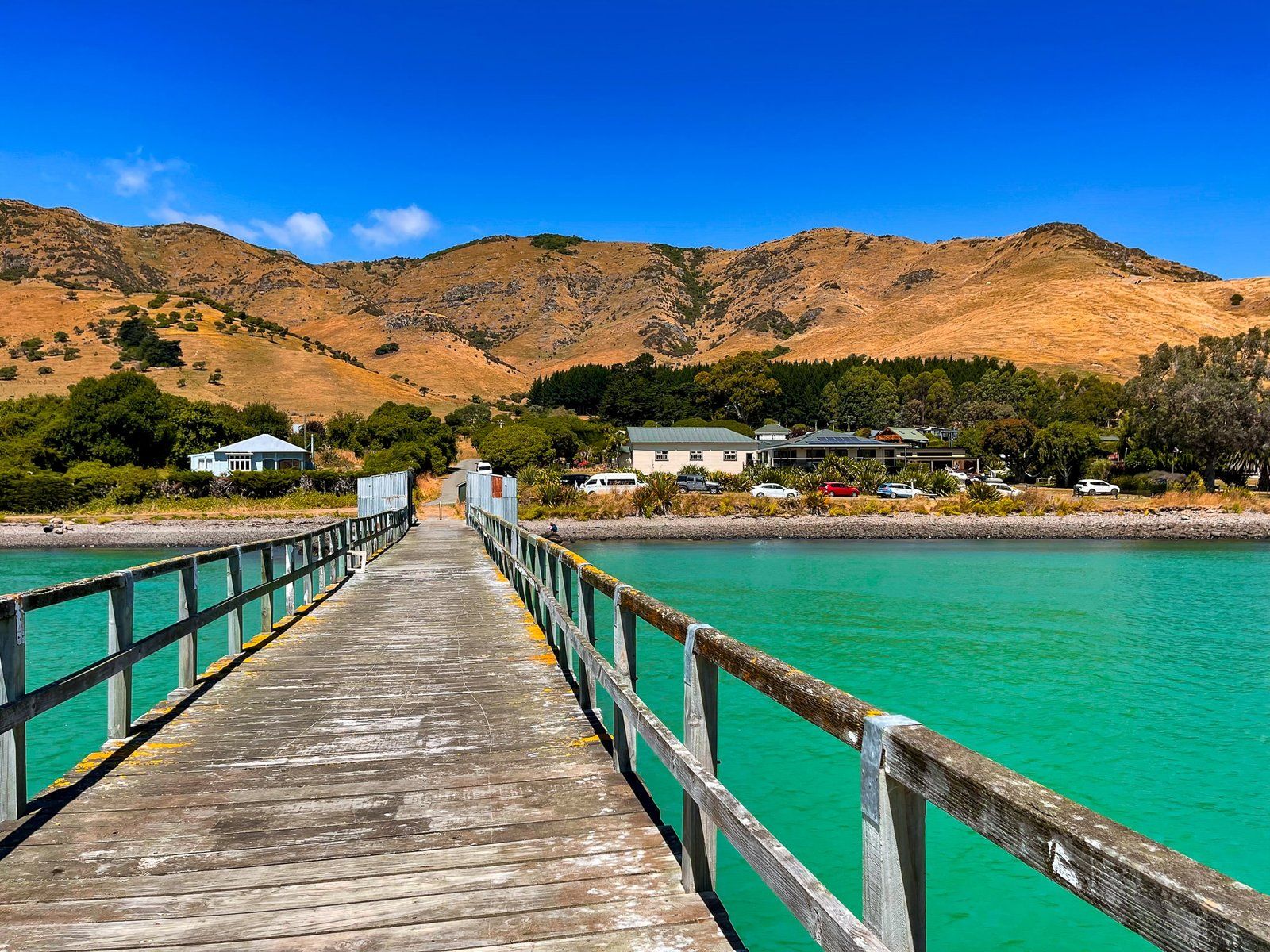
Natural and Historical Attractions
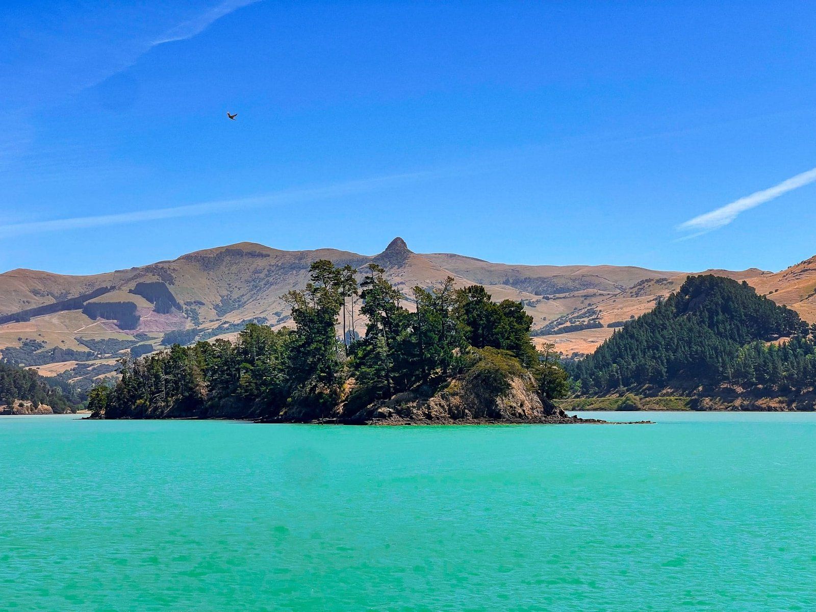
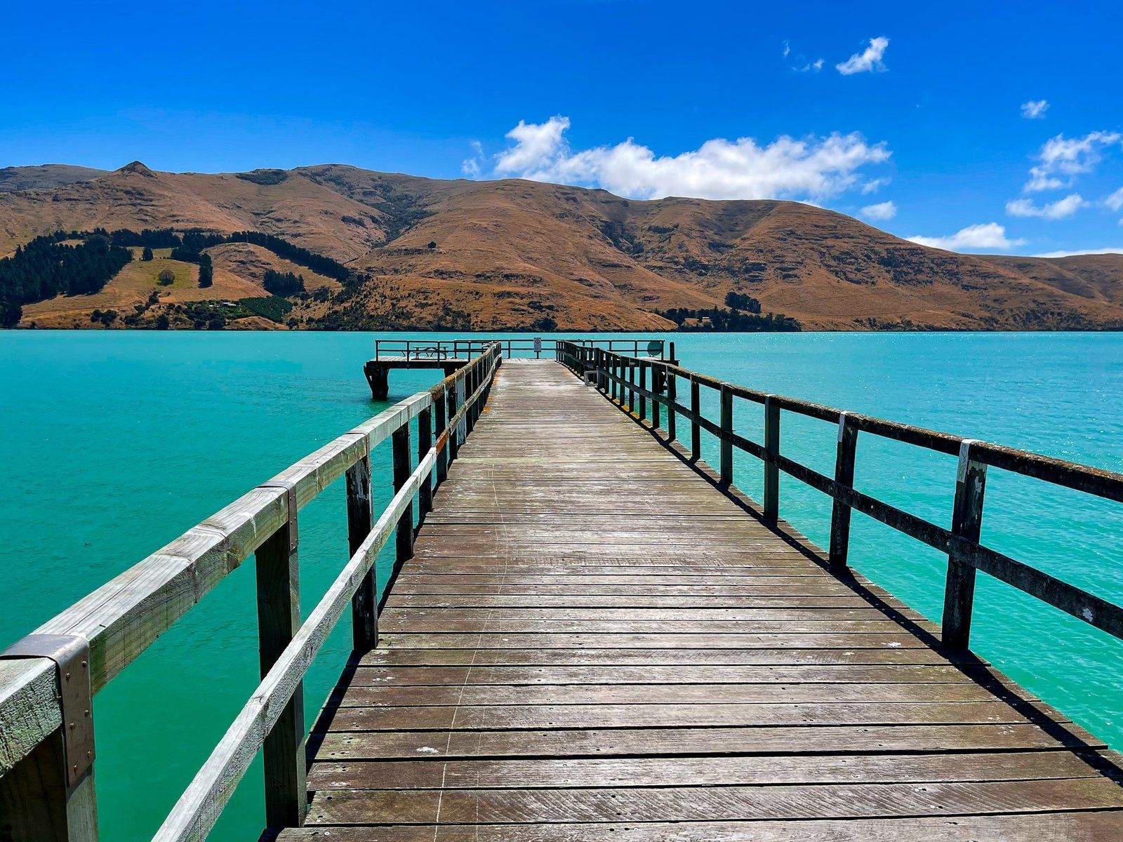
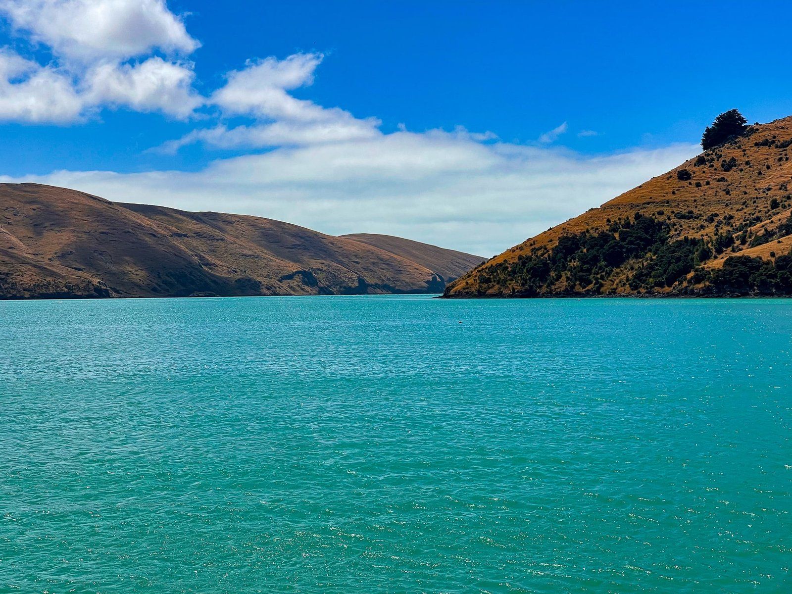
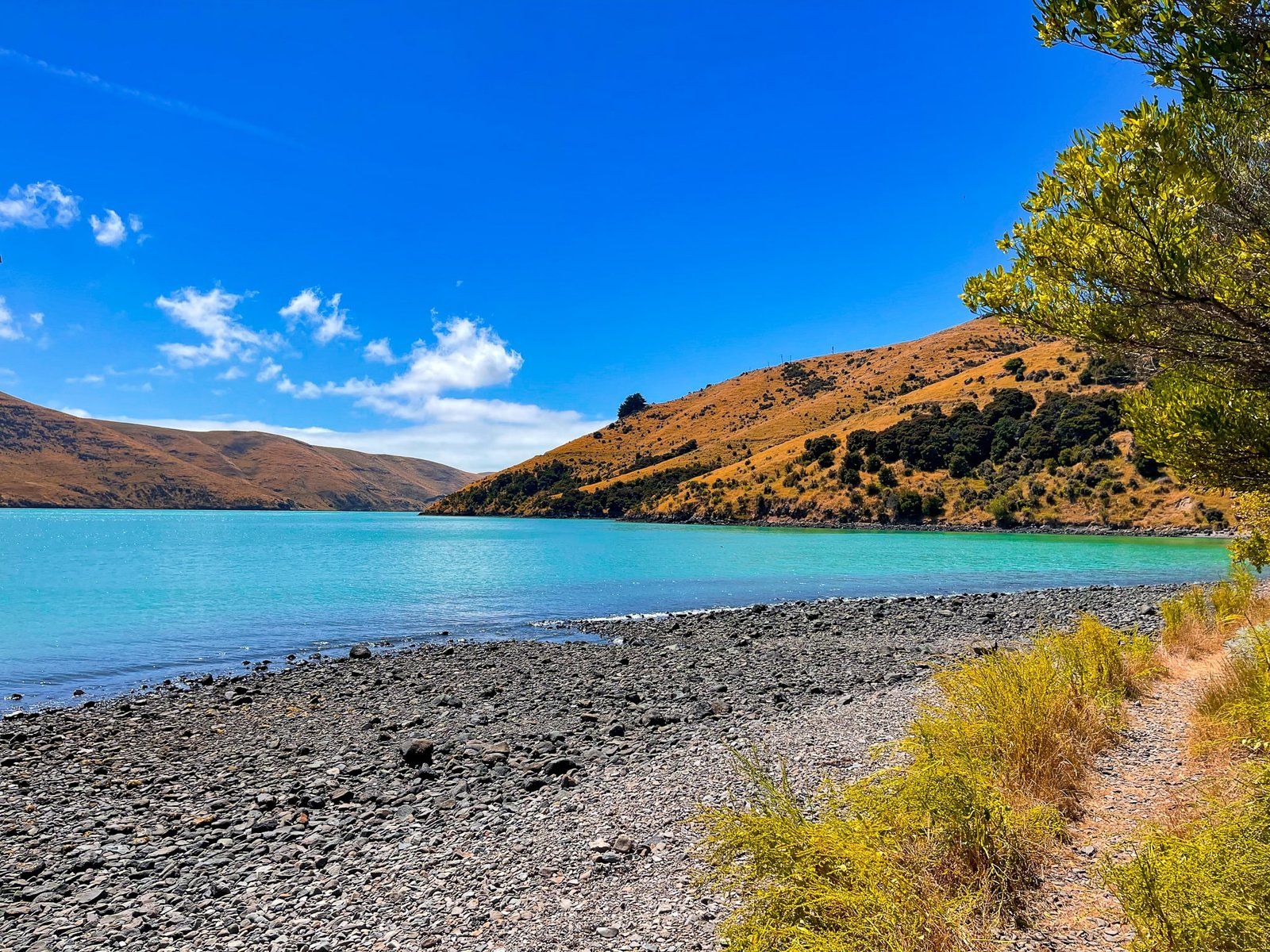
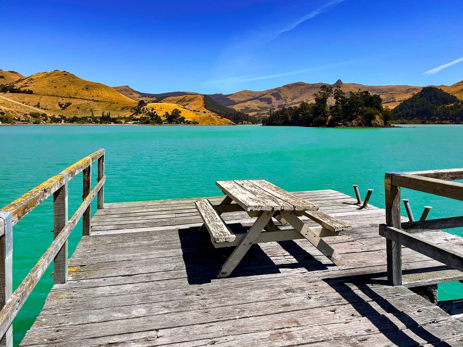
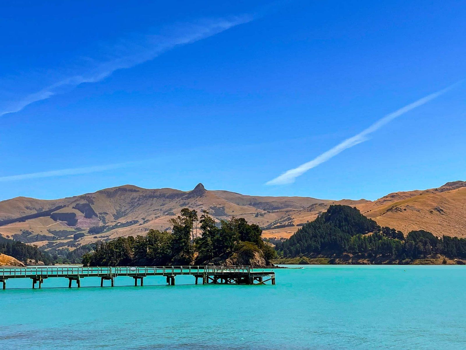
Port Levy is a long, sheltered bay, stretching 8 km from its opening to the Pacific Ocean. European settlers introduced farming and cleared much of the ancient forest, as they did in other bays in the region. On the bay's east side, you can drive to the historic wharf, where car parks and picnic tables are available. A stone memorial marks the site of what is believed to be the first Anglican church in Canterbury, built in the 1840s. The charming Anglican church that stands today was constructed in 1888.
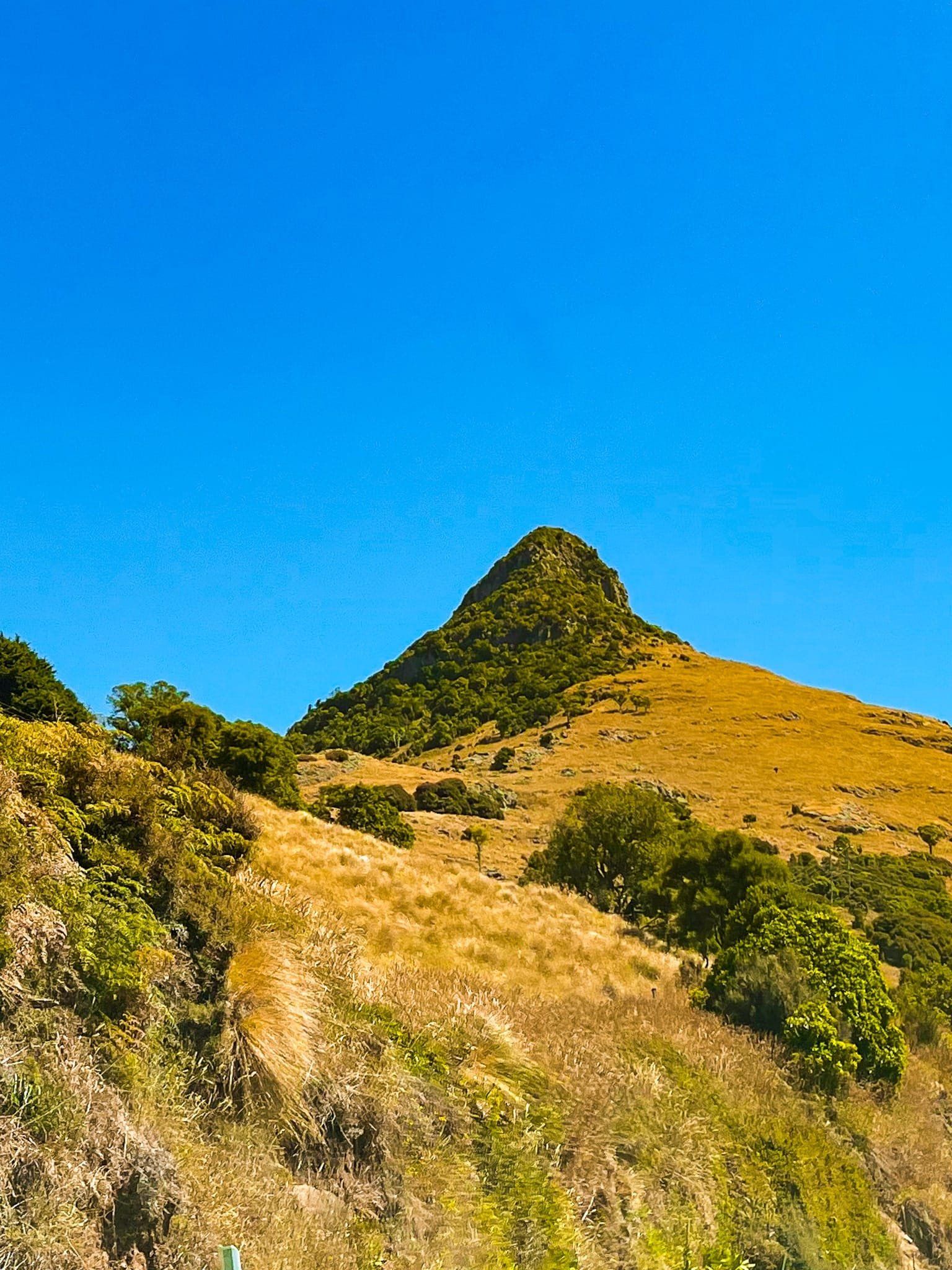
Parau Port Levy Road to Mt Herbert / Te Ahu Patiki
From Parau Port Levy Road, you can access a network of tracks around Mt Herbert / Te Ahi Patiki. This is also one of the shorter routes to this ancient volcanic peak, which rises to 919 metres and is the peninsula's highest point. The walk from the road gains about 500 metres and is about 2.5 hours and 5.7 km to the summit. From there, you can explore a network of tracks north and west of the summit, including the Rod Donald Hut and Packhorse Hut for overnight stays.
Getting to Port Levy (Potiriwi) / Koukourarata
To reach Port Levy from Christchurch, you can take Dyers Pass Road over the Port Hills to Governors Bay on the northwest corner of Lyttelton Harbour. From there, head south along Governors Bay Teddington Road, then east on Charteris Bay Road, which becomes Marine Drive, continuing to Diamond Harbour on the south side of Lyttelton Harbour. From Diamond Harbour, take Purau Avenue to Port Levey Road. Once you reach the bay, drive around the east side on Pa Road to Puari. Port Levey Road is sealed but narrow in places. The drive takes about an hour and is 43 km.
From Port Levy, you can take Port Levy Pigeon Bay Road, but take care - this is a challenging, winding, very narrow, gravel road that climbs 500 metres and is not for everyone.