Exploring Awaroa / Godley Head
Awaroa / Godley Head is the dramatic western headland of Lyttleton Harbour / Whakaraupō on Banks Peninsula near Christchurch, where coastal walking tracks wind through an extensive network of World War II fortifications. This windswept promontory combines sweeping ocean views with concrete gun emplacements, underground bunkers, and military installations that once housed over 400 soldiers defending New Zealand's coast. The site provides a rare opportunity to explore a complete coastal defence battery while experiencing the rugged beauty of the ancient Lyttelton volcano rim.
Historical Military Features
The headland's most compelling features are its World War II coastal defence installations, which remain remarkably intact. Multiple concrete gun emplacements dot the landscape, their massive structures designed to house artillery pieces capable of firing across the harbour entrance. These fortifications include observation posts, ammunition storage bunkers, and command centres connected by a network of paths and tunnels. Informative panels throughout the site explain the strategic importance of each installation, and murals bring the wartime period to life. These include depictions of the Women's Auxiliary Army Corps, which served active defence roles here.
The Taylor Battery, located northwest of the headland, features two additional gun emplacements positioned to provide overlapping fields of fire with the main battery. Each position has commanding views across the Pacific Ocean and the harbour entrance.
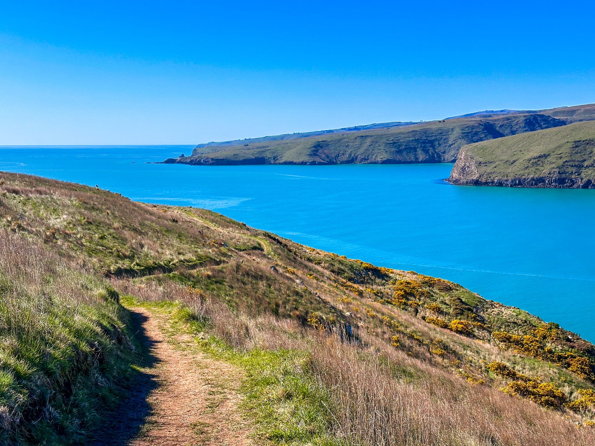
Beyond the military installations, the headland provides dramatic coastal scenery shaped by its volcanic origins. The site sits on the rim of the ancient Lyttelton volcano, creating cliffs and rocky shorelines that drop away to the ocean below. The 1865 lighthouse still stands as a navigation aid. From various vantage points, you can see across to Lyttelton Harbour, out to the Pacific, and along the coastline toward Sumner and Taylors Mistake.
Coastal Walking and Hiking Tracks
The Godley Head Loop Track is the primary walking experience, beginning and ending at the car park. The shorter loop takes approximately 45 minutes and leads directly to the gun emplacements. The extended loop continues northwest to the Taylor Battery, adding another 15 minutes. There is also Scott's Cabin, named after Antarctic explorer Robert Scott, which is on the longer return loop. Climbing onto the cabin's roof provides another elevated viewpoint across the landscape. The whole extended loop takes 90 minutes to two hours.
The Pilgrims Way Coastal Track provides an alternative approach from Taylors Mistake, passing historic baches at Rotten Row and Boulder Bay before connecting with the Godley Head Loop Track. This coastal route adds variety to your walk and allows you to experience the shoreline perspective before ascending to the fortifications. Note that Google Maps incorrectly labels Pilgrims Way as part of the Godley Head Loop Track. There is also a campsite near the car park.
Māori and European Names
The headland's Māori name, Awaroa, translates to "long river," likely referring to the harbour itself. European naming began in 1838 when the French whaling ship Cachalot, commanded by Captain Jean Langlois, encountered difficulties here and named it Cachalot Head. In 1849, Captain Joseph Thomas, chief surveyor for the Canterbury Association, renamed it Godley Head during his survey of Canterbury, honouring John Robert Godley, a key figure in Christchurch's founding, whose statue stands in Cathedral Square. Thomas also recommended the site for the lighthouse.
How to Get There
Access Awaroa / Godley Head by driving along Summit Road from Evans Pass. Reach the pass from Sumner via Evans Pass Road or from Lyttelton via Sumner Road. The sealed road is narrow, with blind corners and steep drops, so drive carefully. The headland also forms part of the extensive Banks Peninsula track network, with connections to numerous other walking routes throughout the Port Hills and peninsula.
Other places to visit around the Port Hills include Sign of the Kiwi, Witch Hill and Victoria Park.