
A Scenic Trip Through Marlborough: Blenheim, Vineyards, History, and Hidden Gems
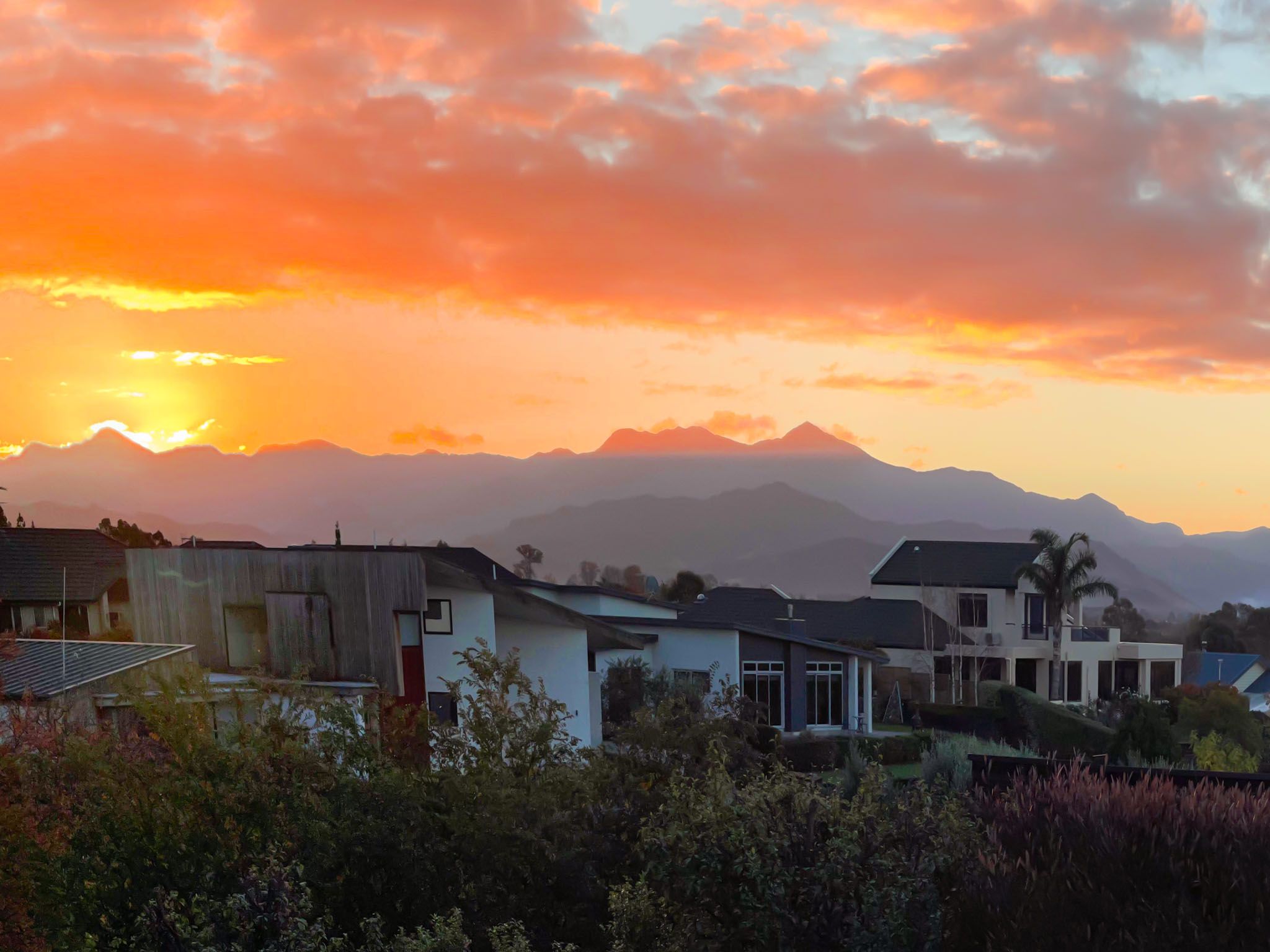
Blenheim is the perfect base for a scenic trip through inland Marlborough, an area where vineyard-covered plains meet rugged ranges and remote coastal outposts. This journey takes in the wine country of the Wairau Valley, remote lookouts in the Richmond Range, historic sites near Tuamarina, and the geological wonders of Ward Beach on the northeast coast. Along the way, you’ll discover short walks, river trails, ancient forests, and remote camping spots, many of which are little known. Whether you have a day or a few, this trip will leave you with a deeper appreciation of Marlborough’s landscape and layers of history.
Blenheim – Wine, Walks, and Regional Heritage
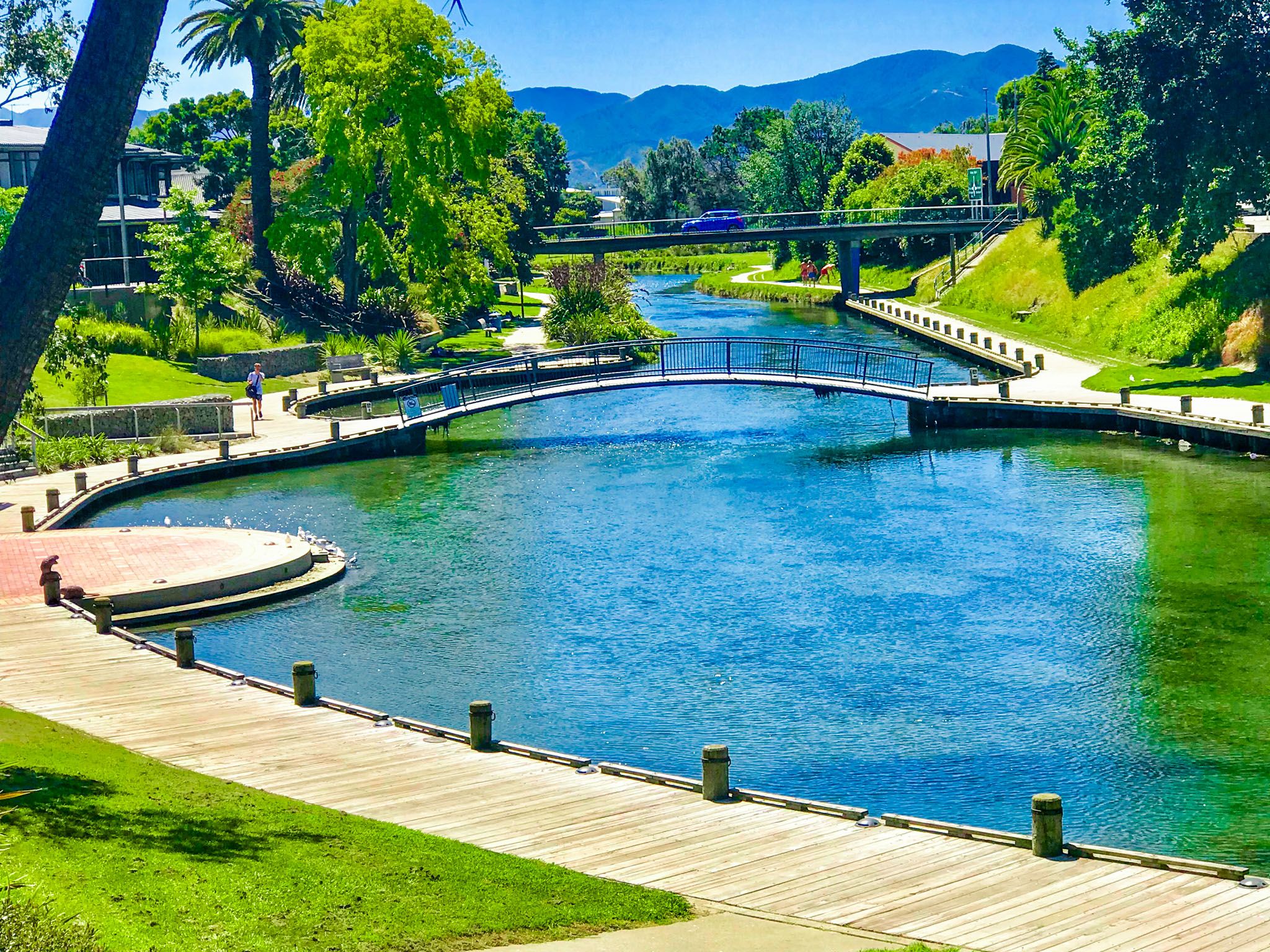
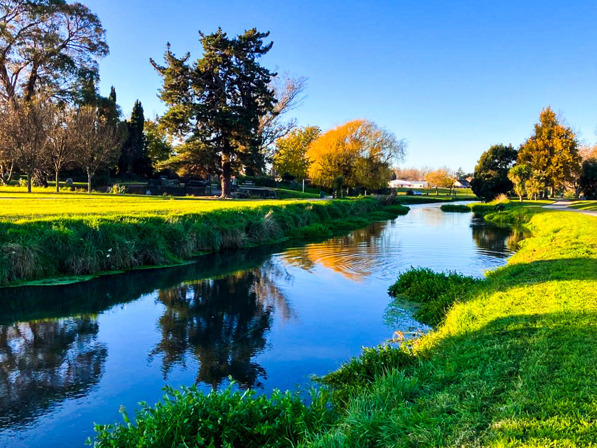
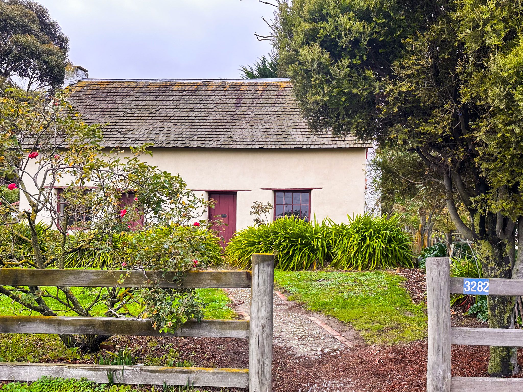
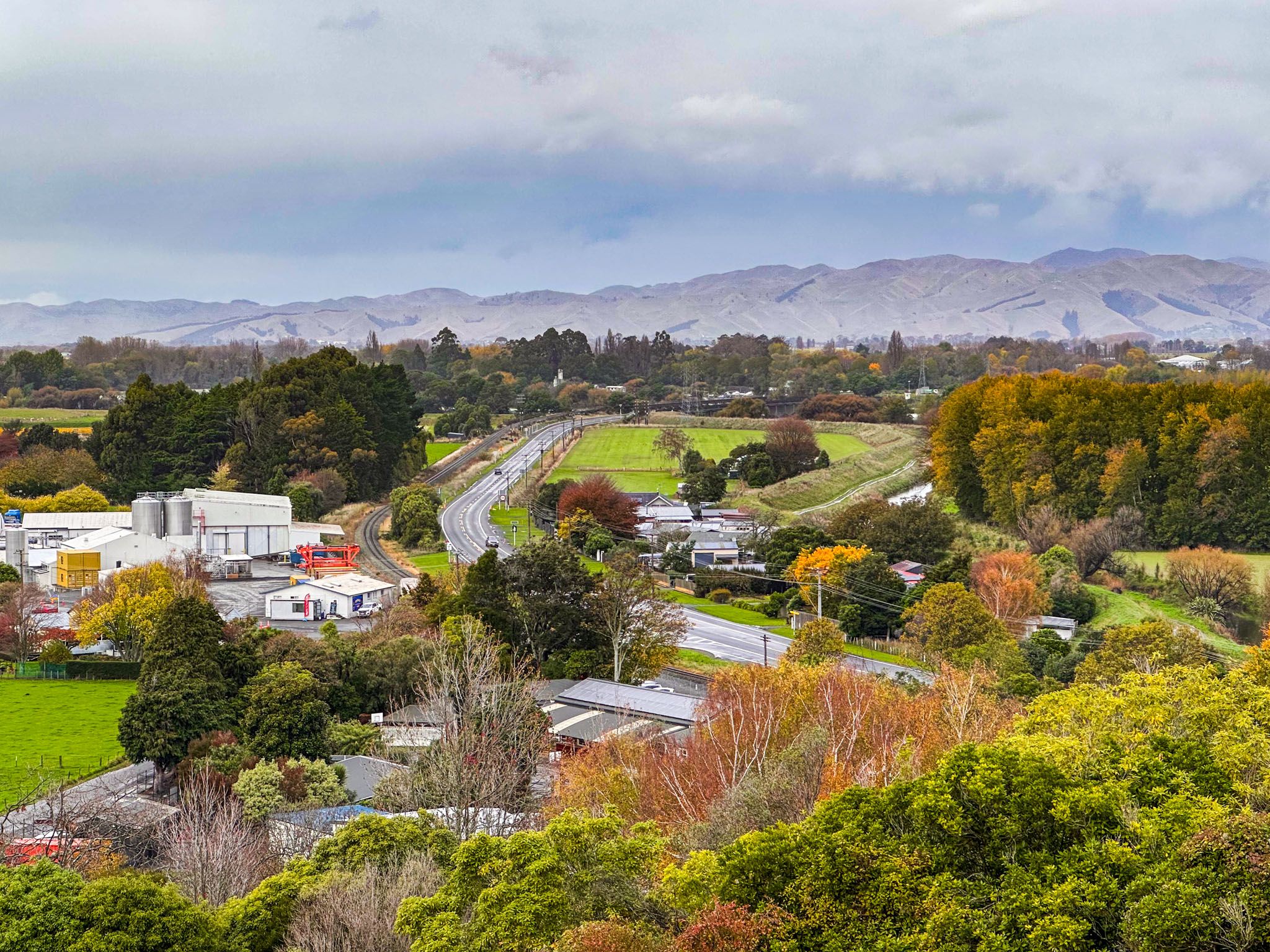
Start your journey in Blenheim, the heart of the Wairau Plain and New Zealand’s wine capital. While best known for its Sauvignon Blanc and sun-drenched climate, the town also has walking and cycling trails, museums, and scenic lookouts close at hand. The Wither Hills Farm Park, just south of town, offers short and long loop walks with superb views across the Wairau Plain to Cloudy Bay. You can walk or cycle the Taylor River Trail into town, stopping at Quays Riverside Park and Brayshaw Heritage Park, where the region’s early settler stories are preserved.
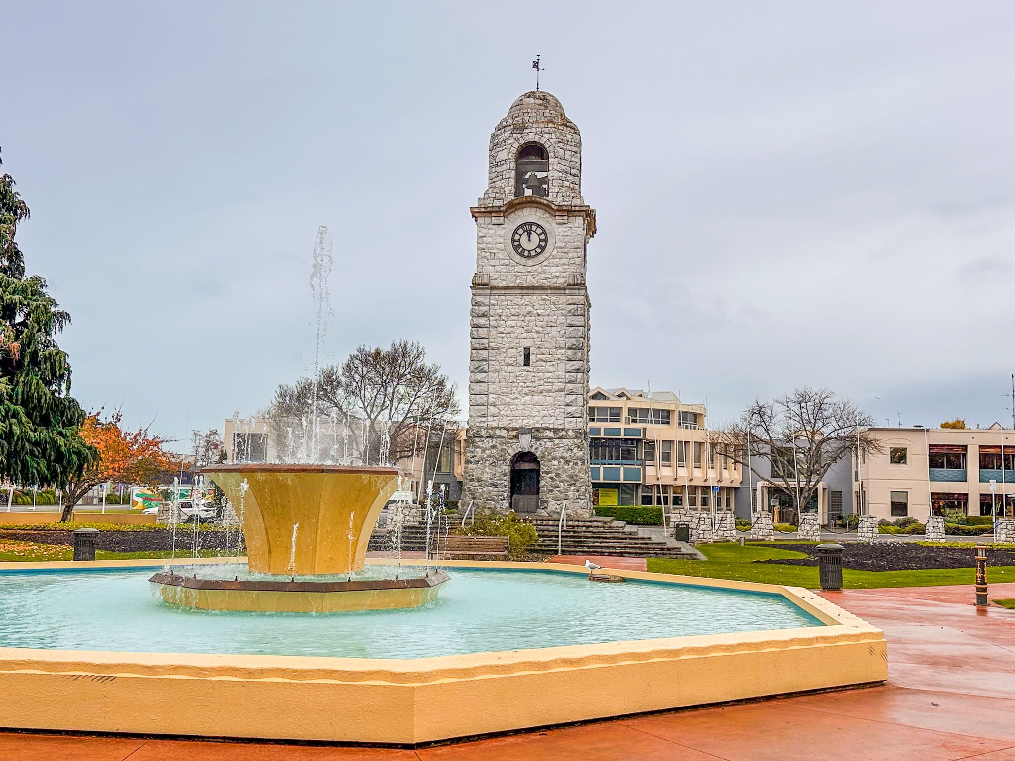
Blenheim also has unexpected gems like the Omaka Aviation Heritage Centre, home to dramatic WWI and WWII displays developed with help from Wētā Workshop. Back in town, the modern library and nearby Seymour Square make for a pleasant break, with a memorial clock tower and gorgeous fountain. For a half-day adventure, take the scenic Port Underwood Road to Whites Bay and Rārangi Beach, or detour inland along State Highway 63 to begin exploring the Wairau Valley and its surrounding foothills.


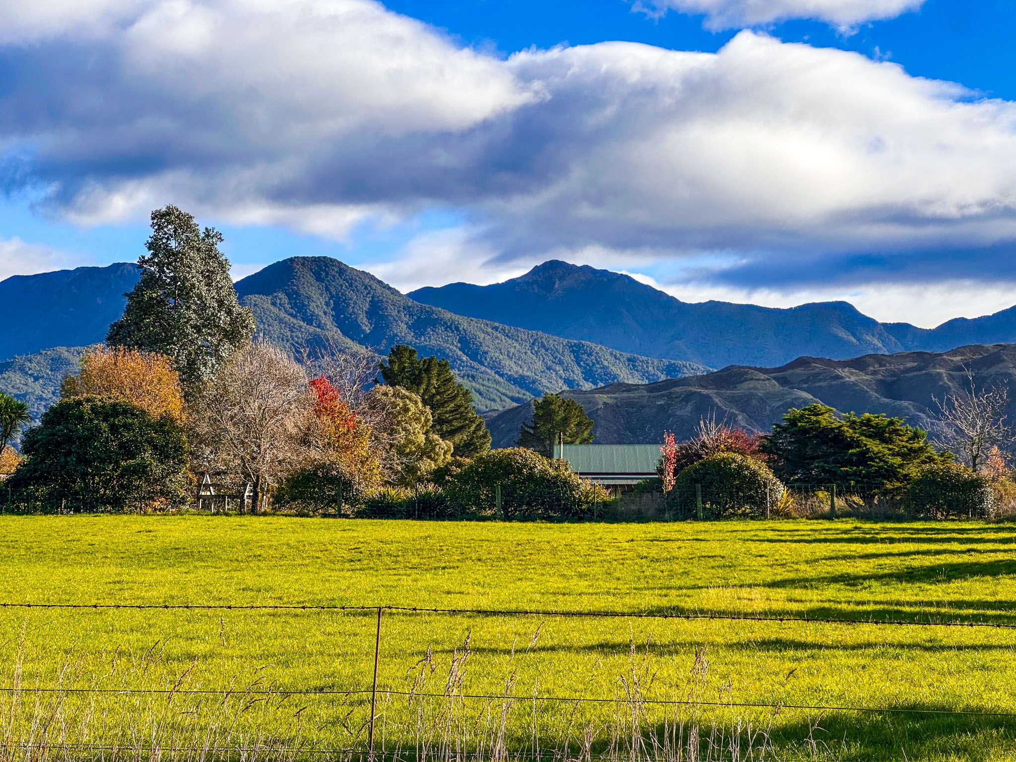
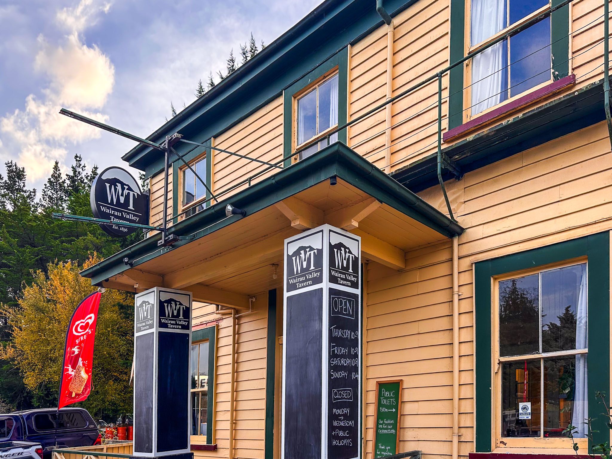
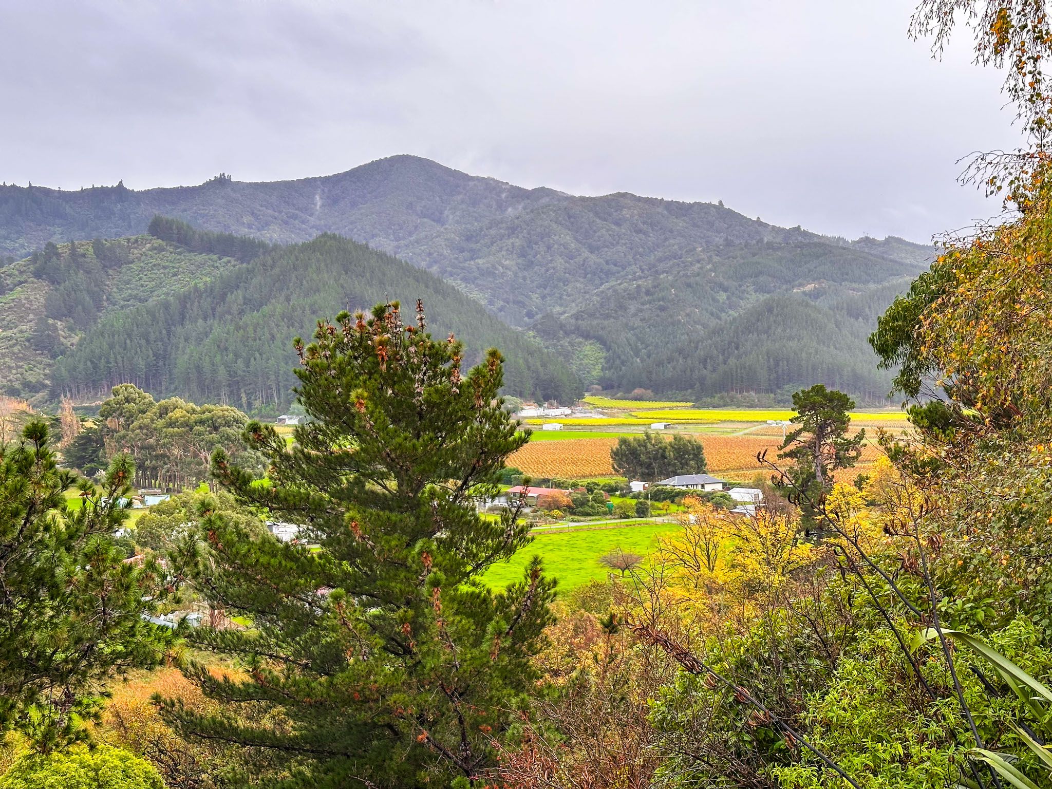
The Wairau Valley – Vineyards, Riverlands and Early History
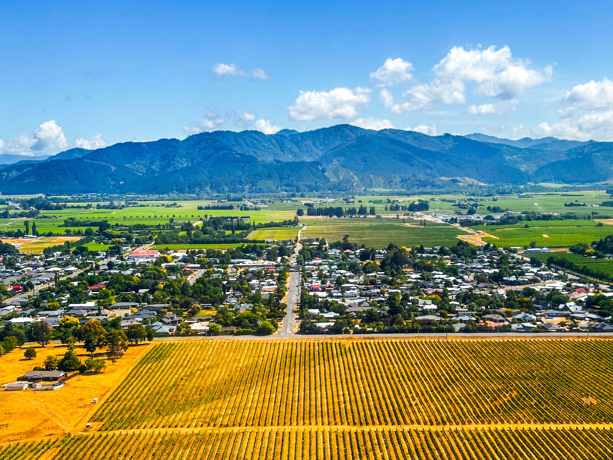
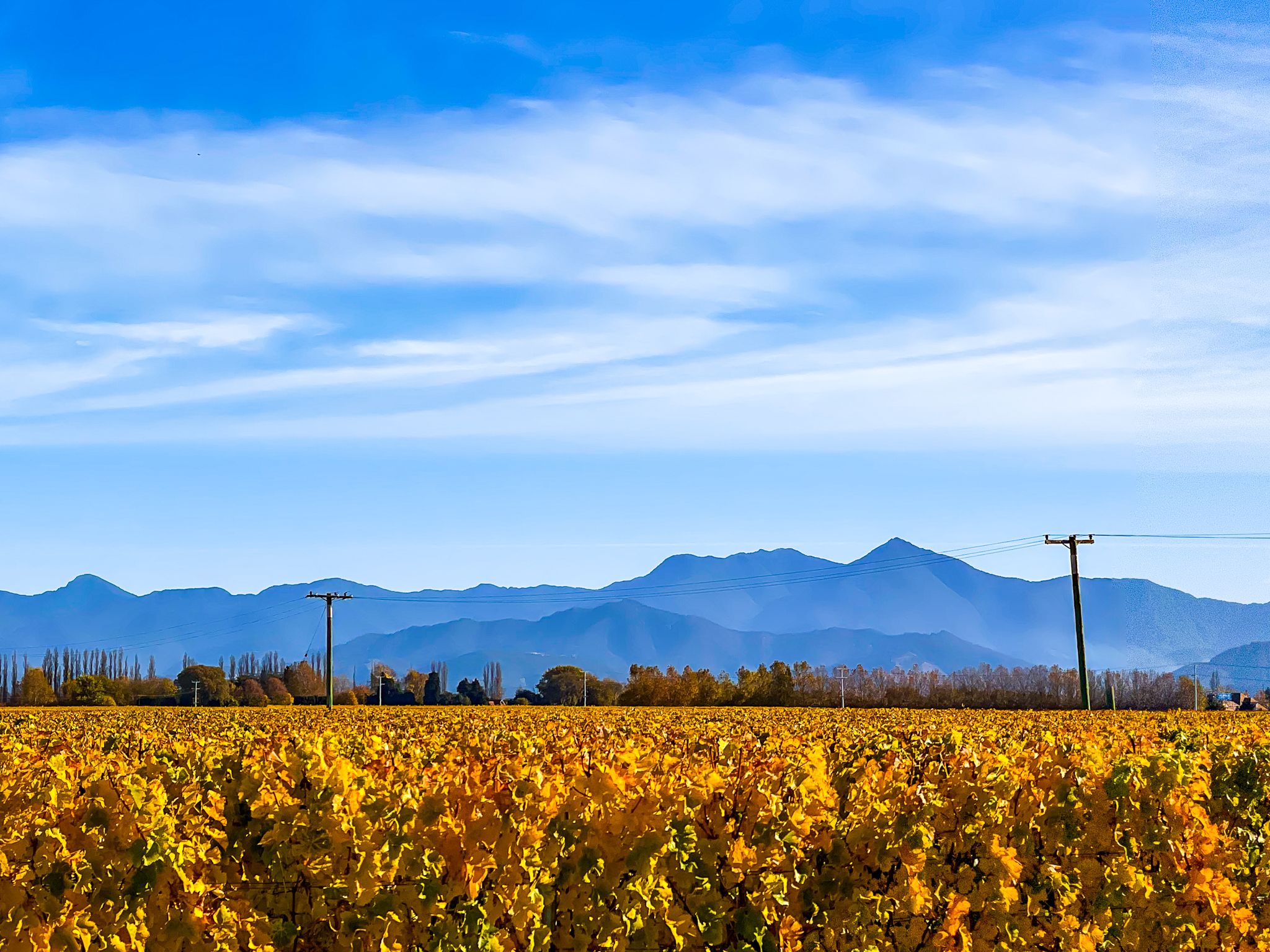
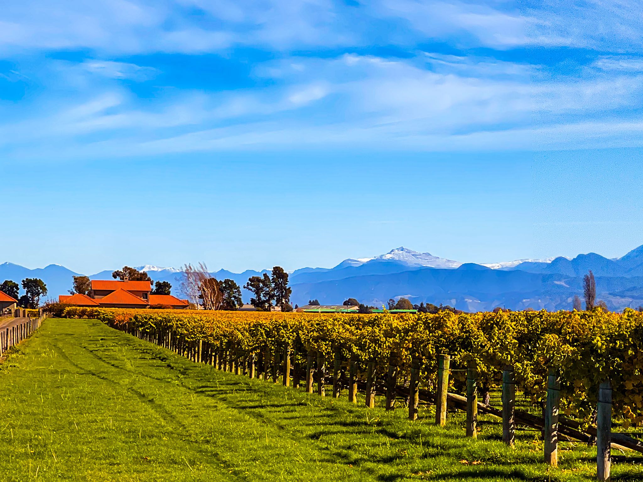
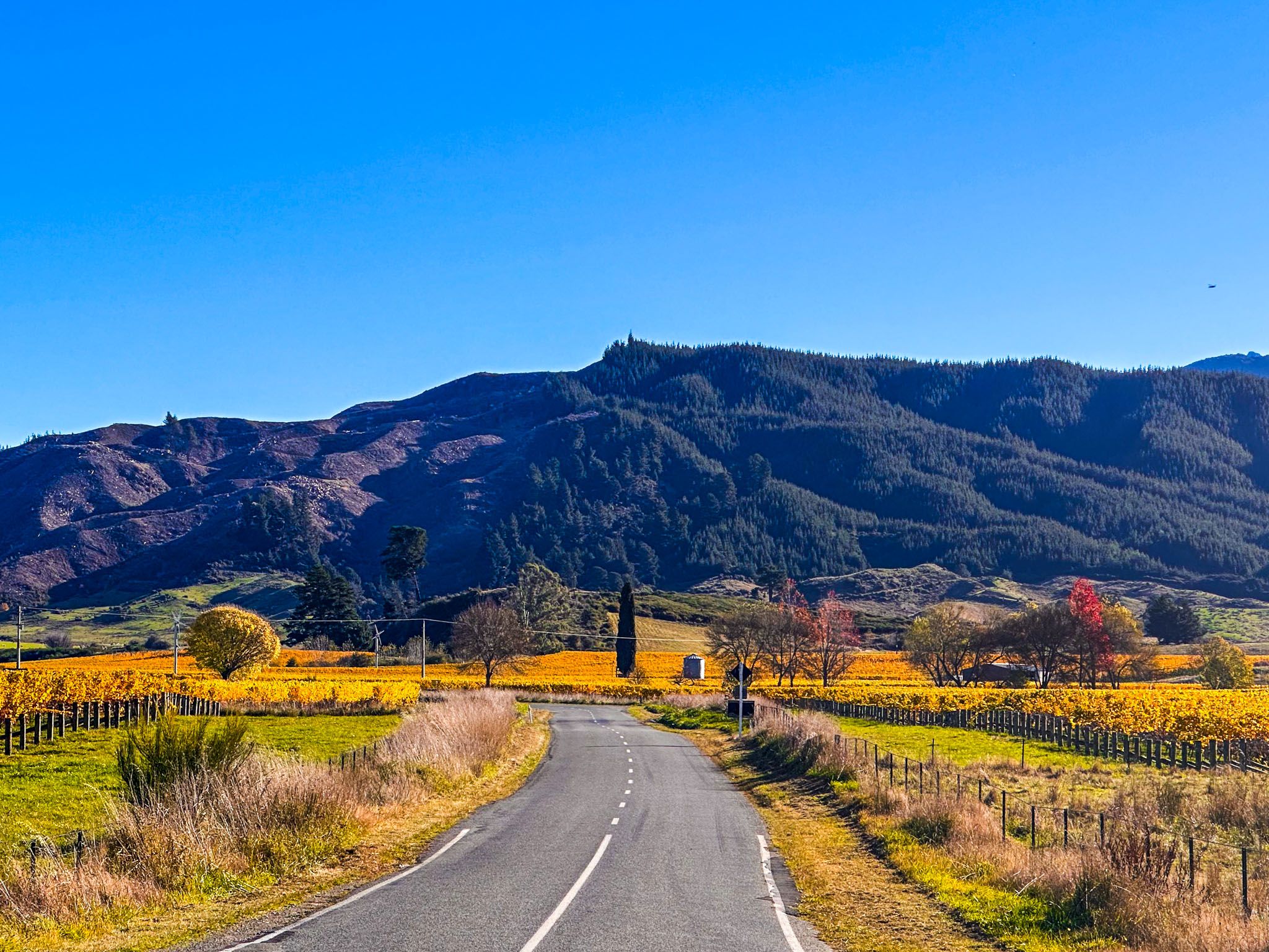
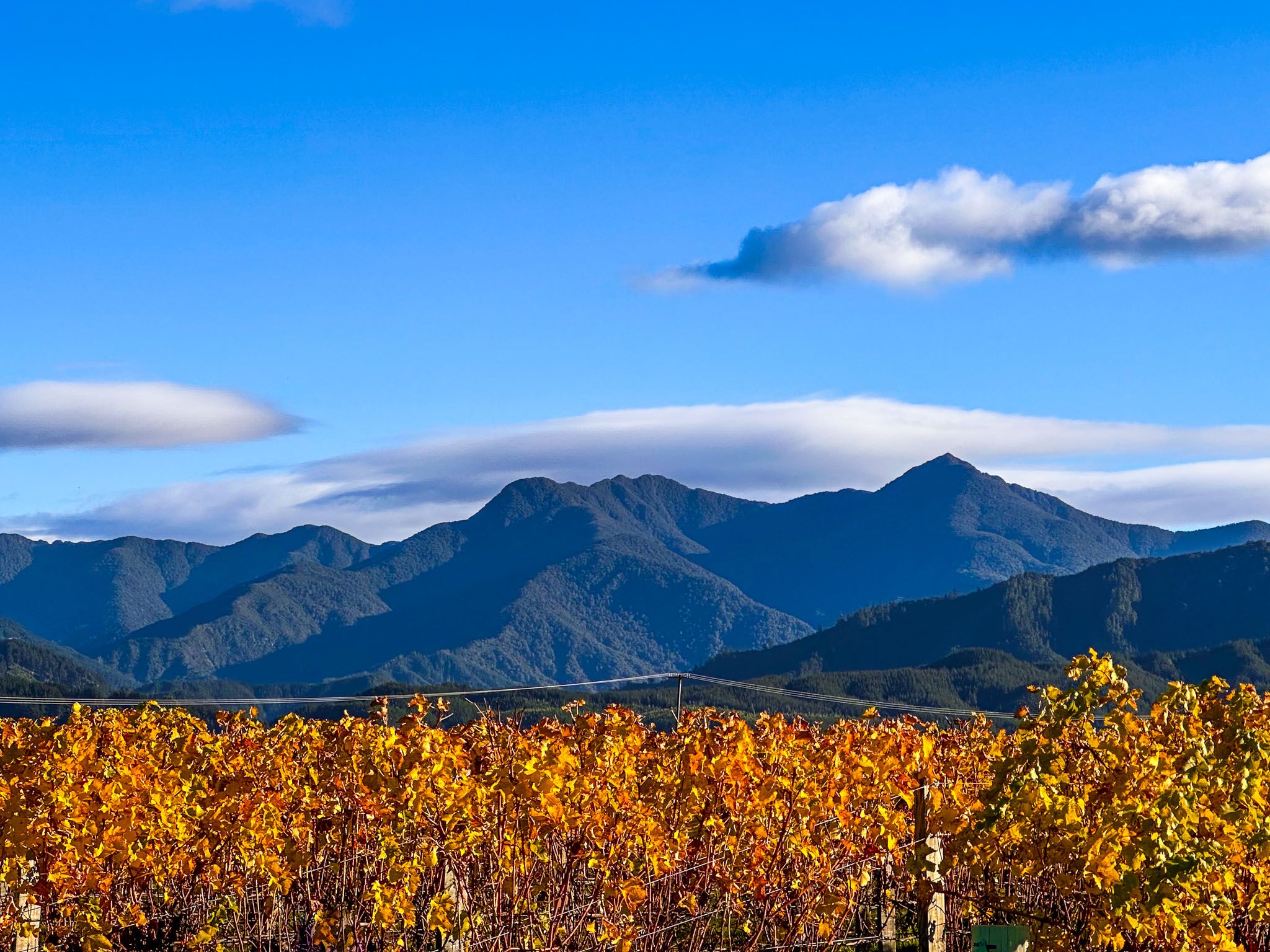
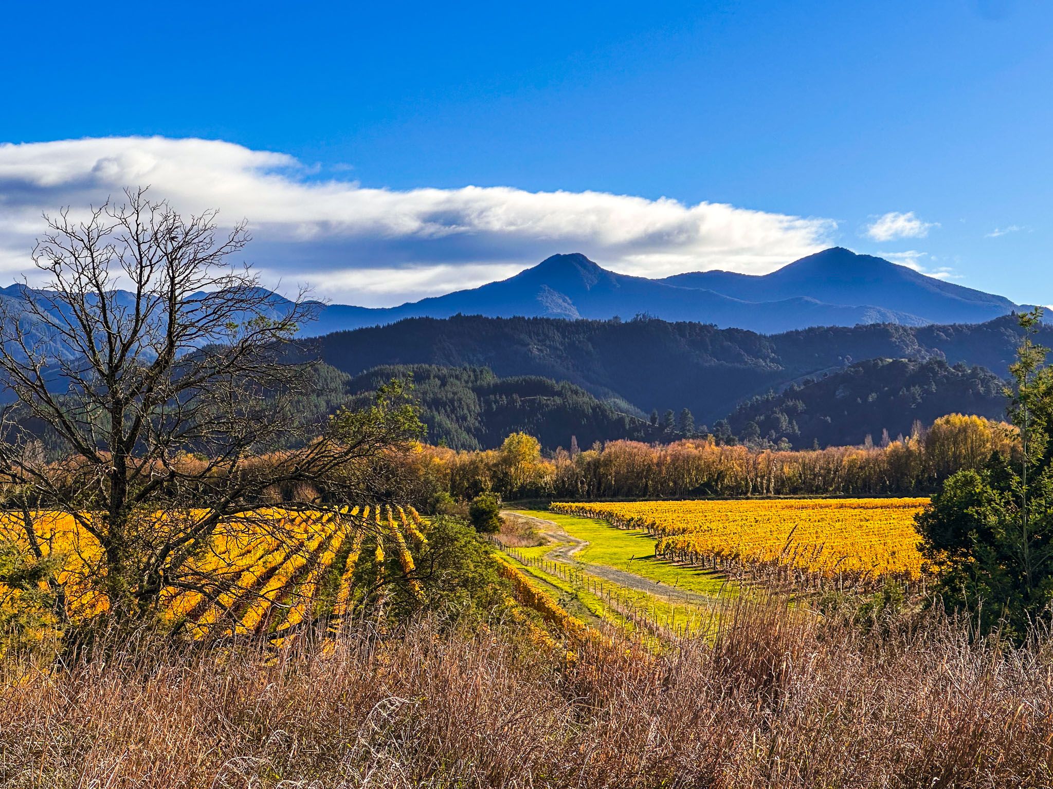
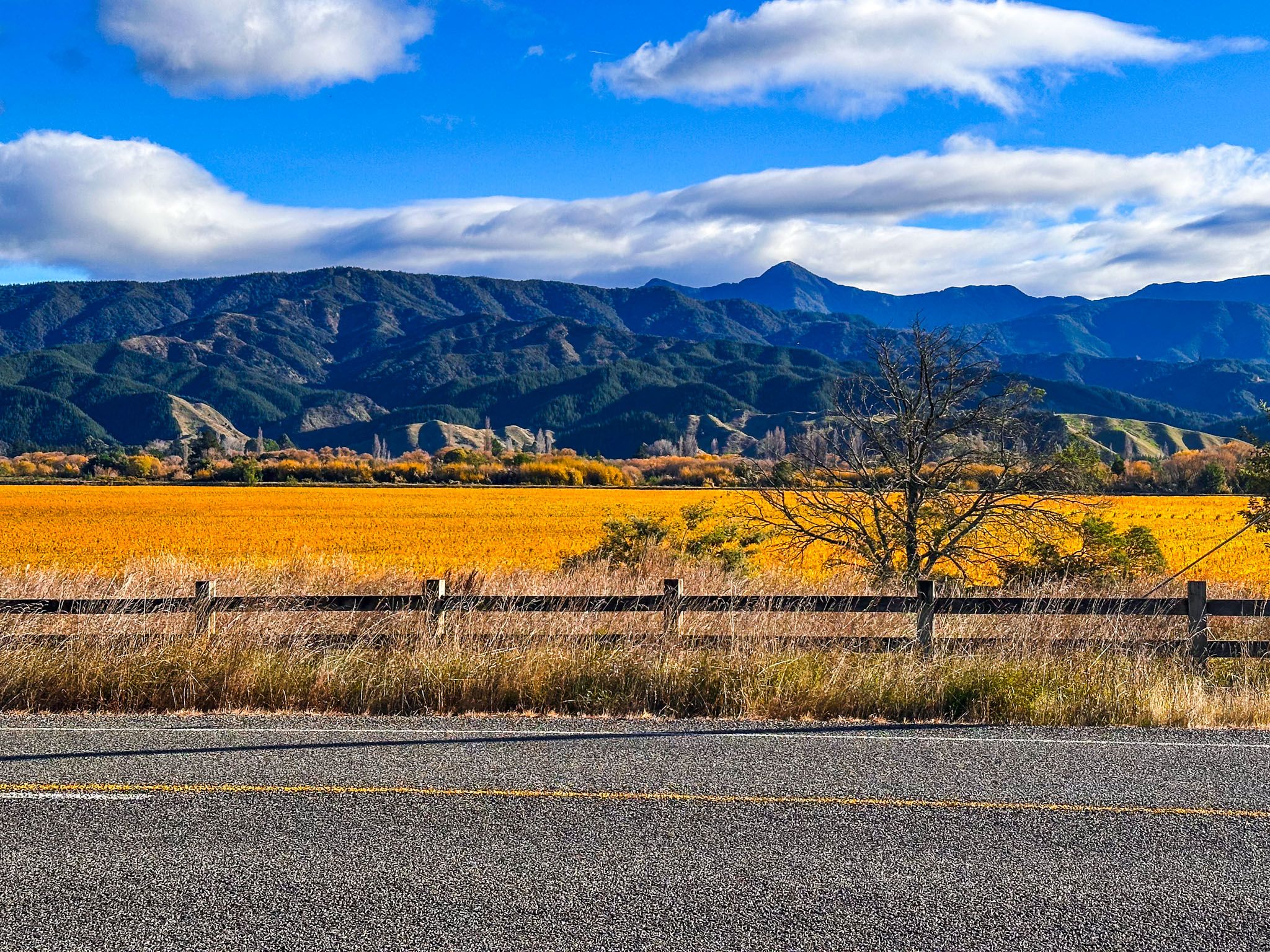
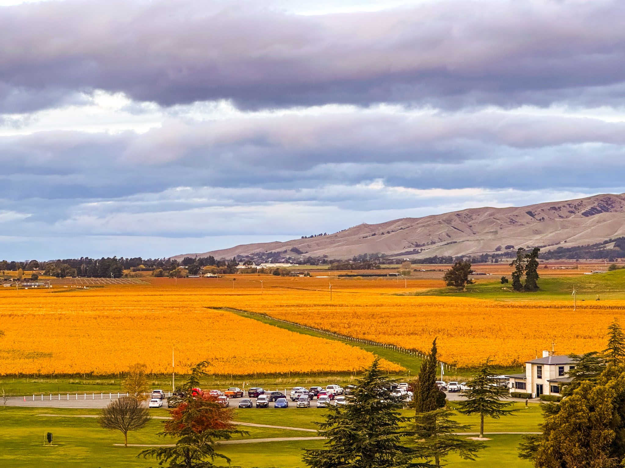
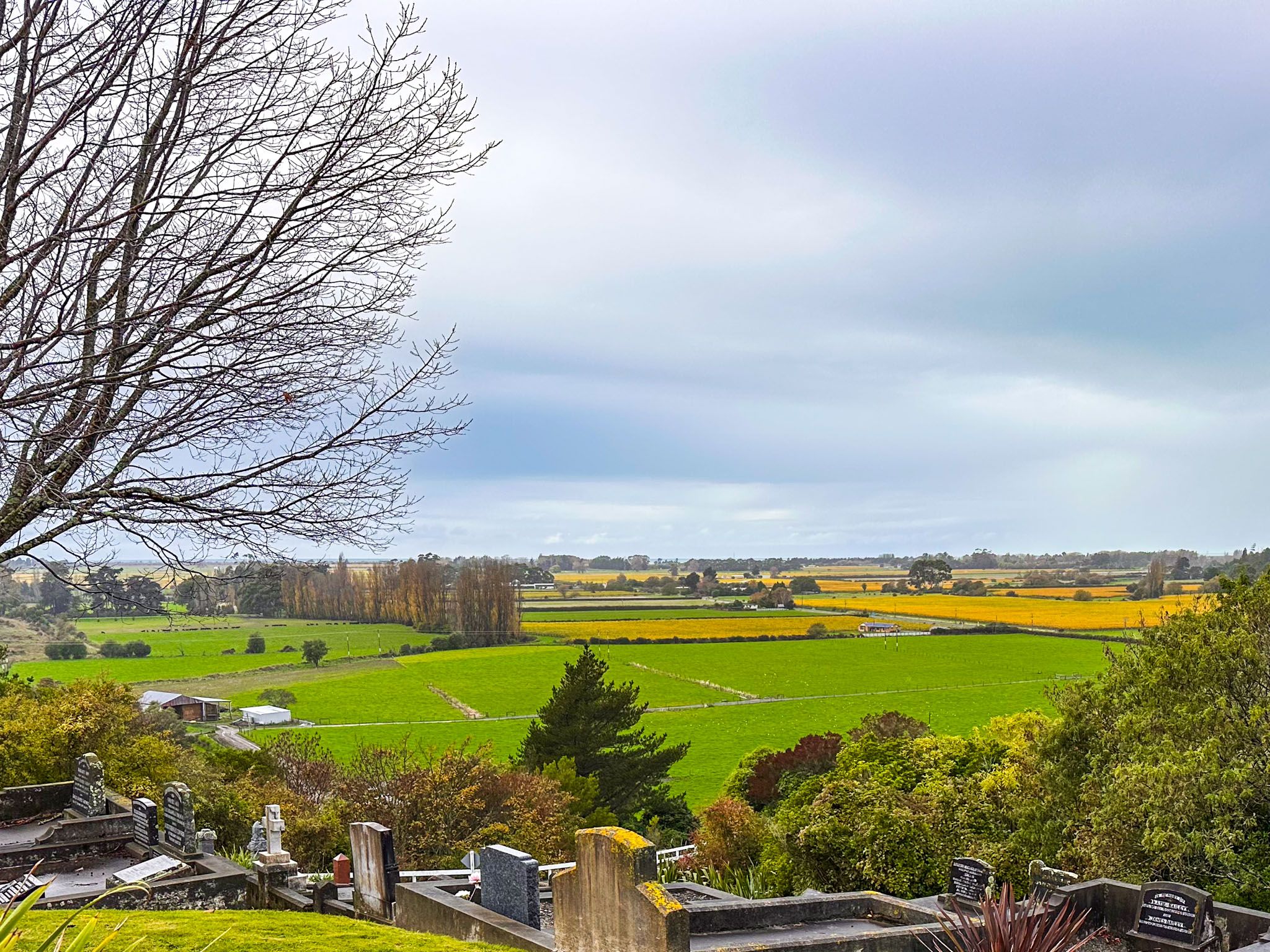
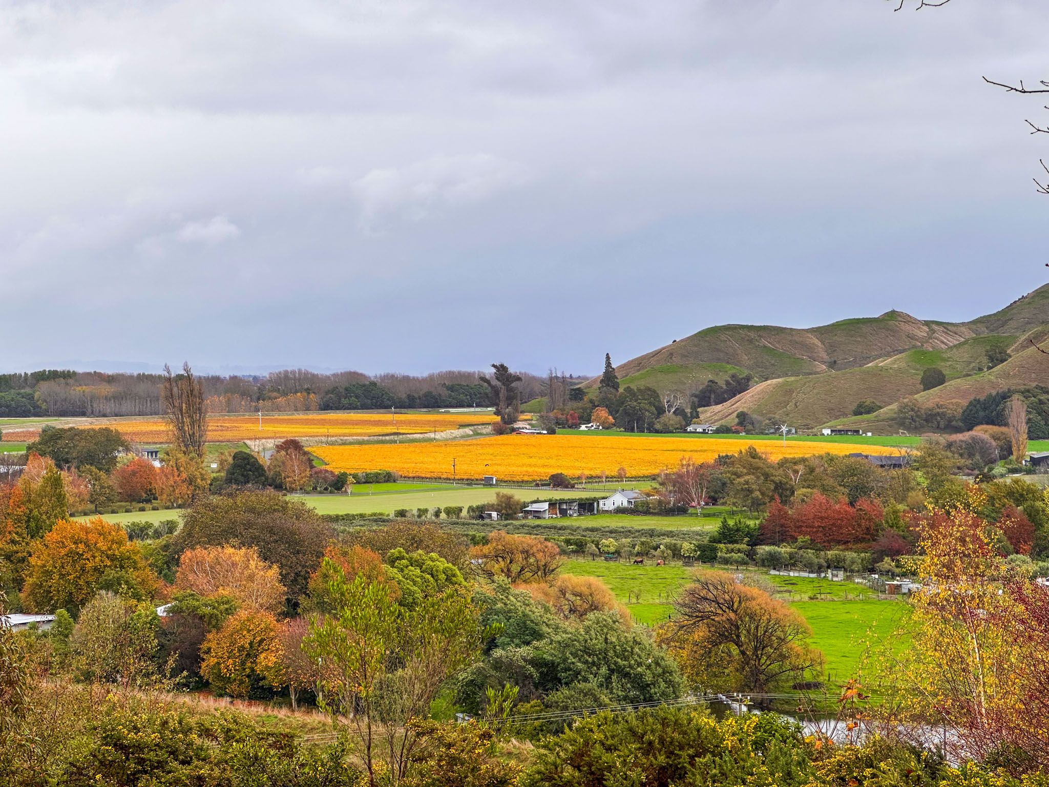
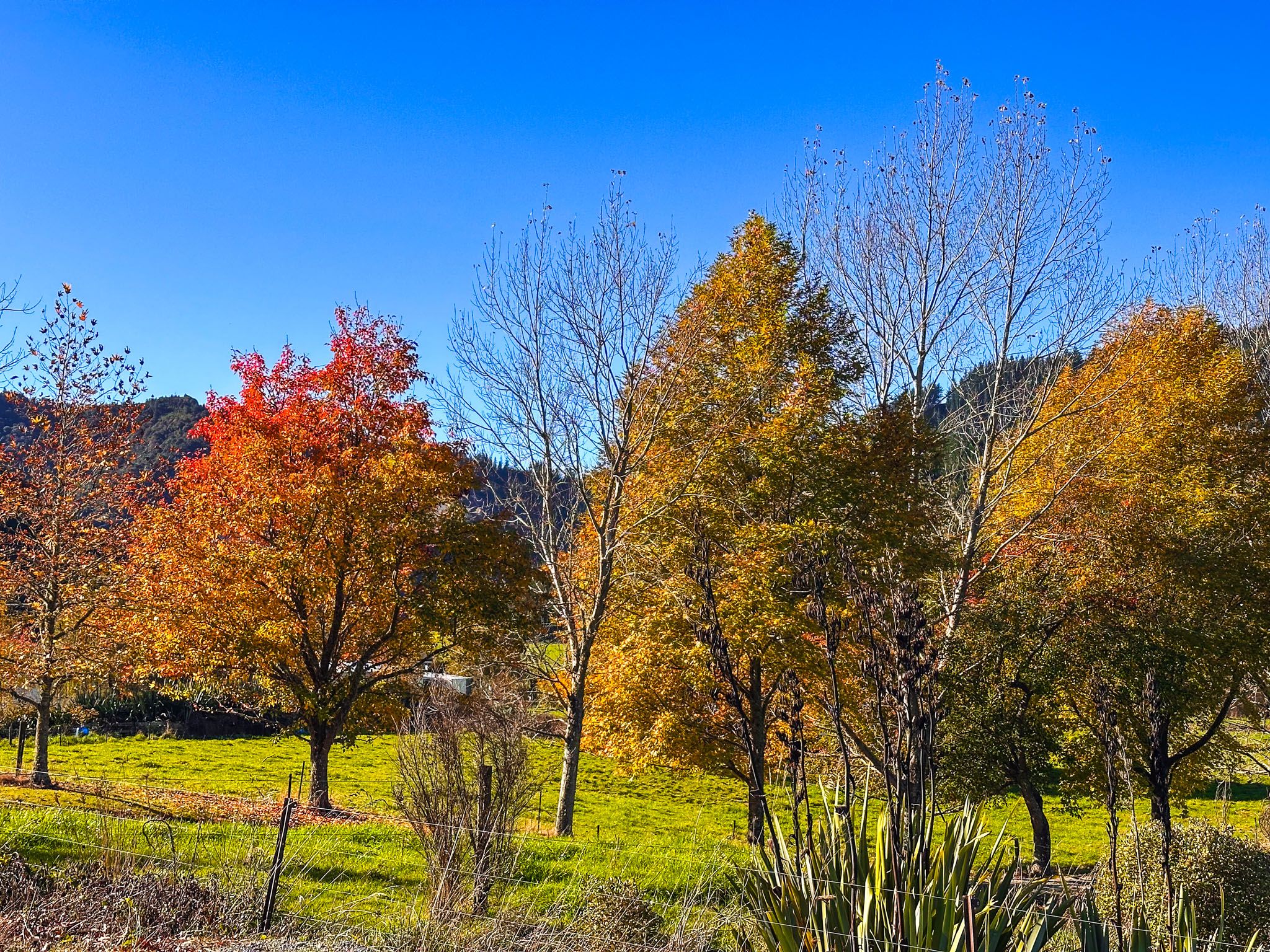
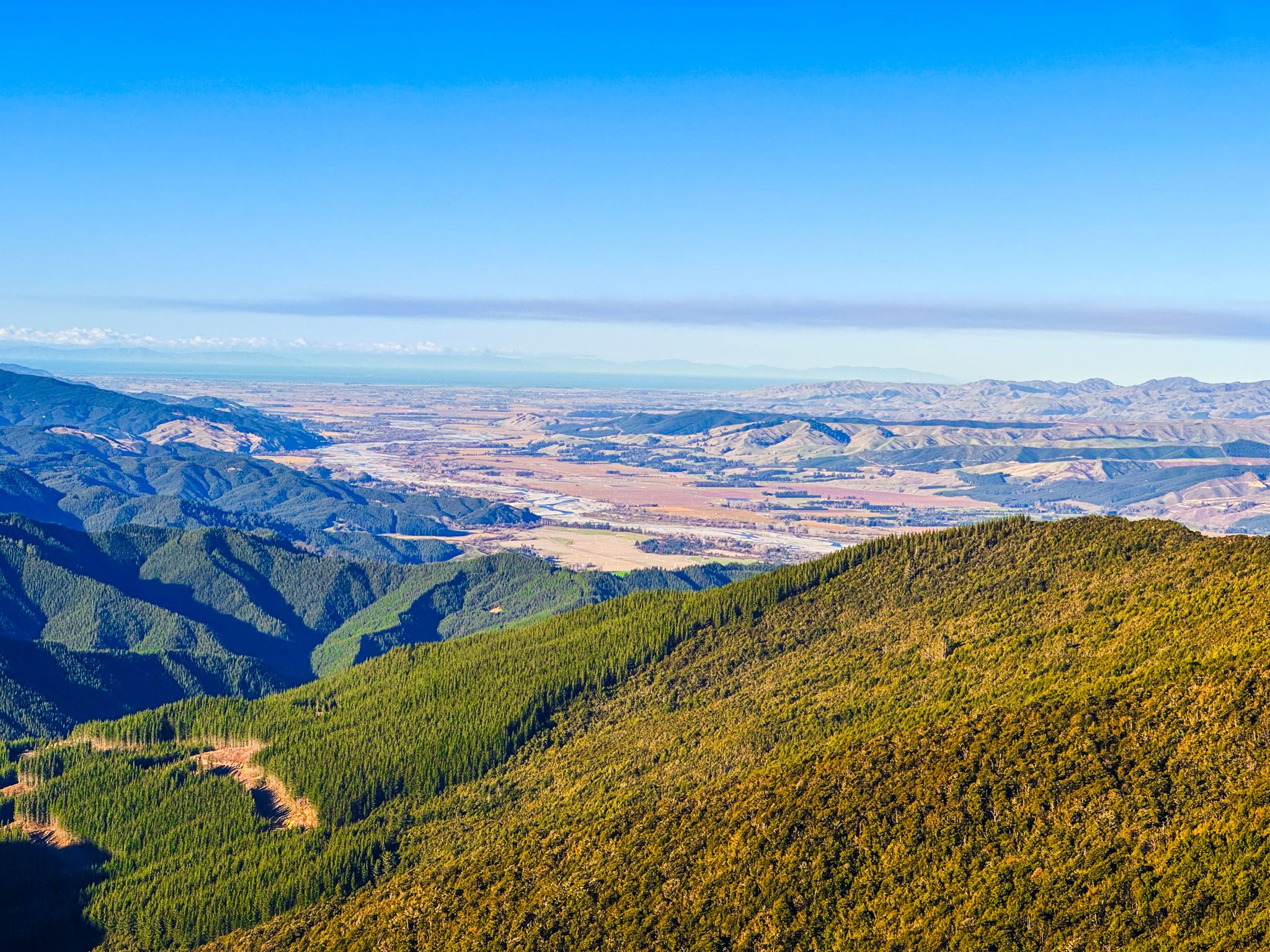
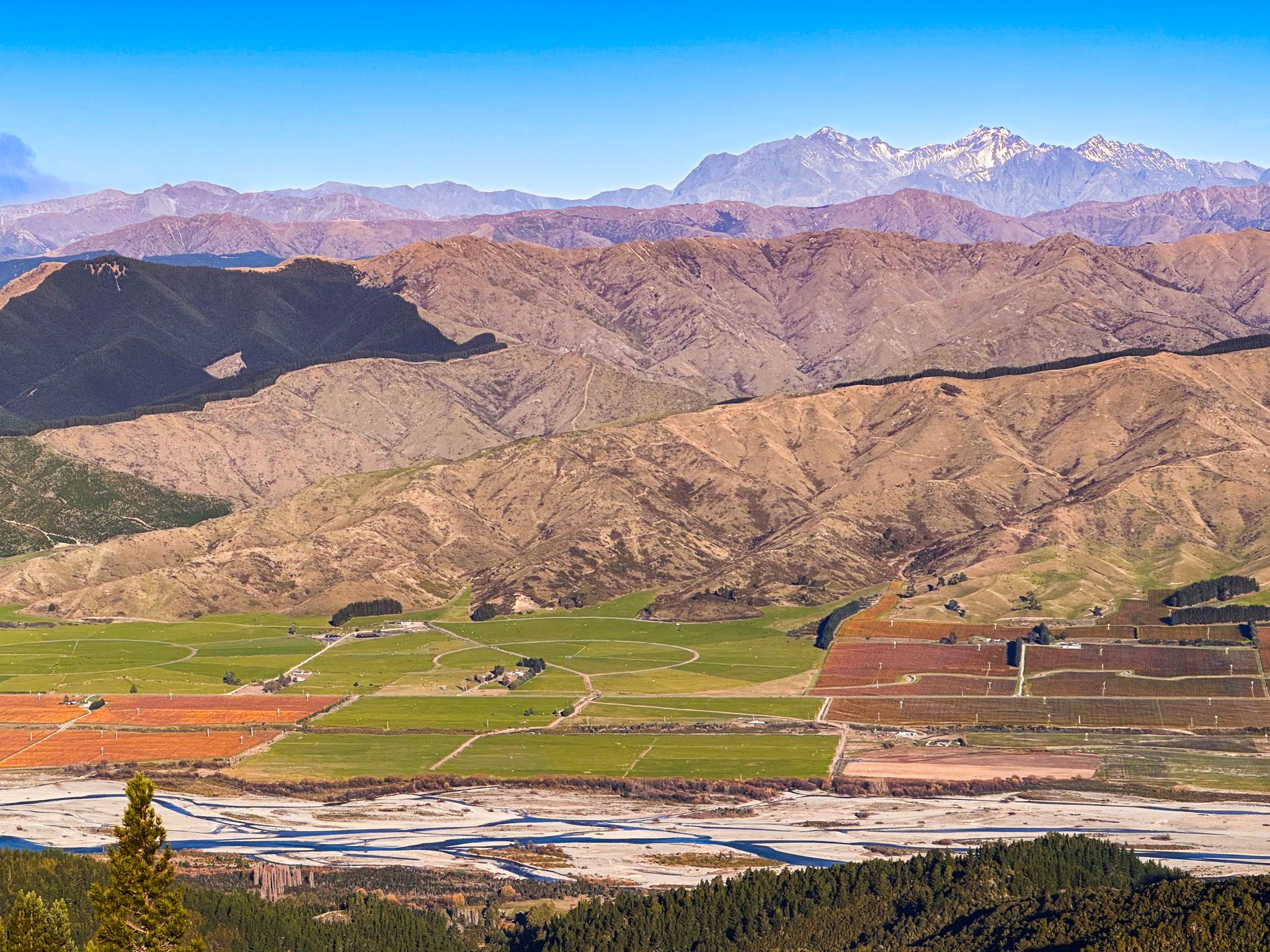
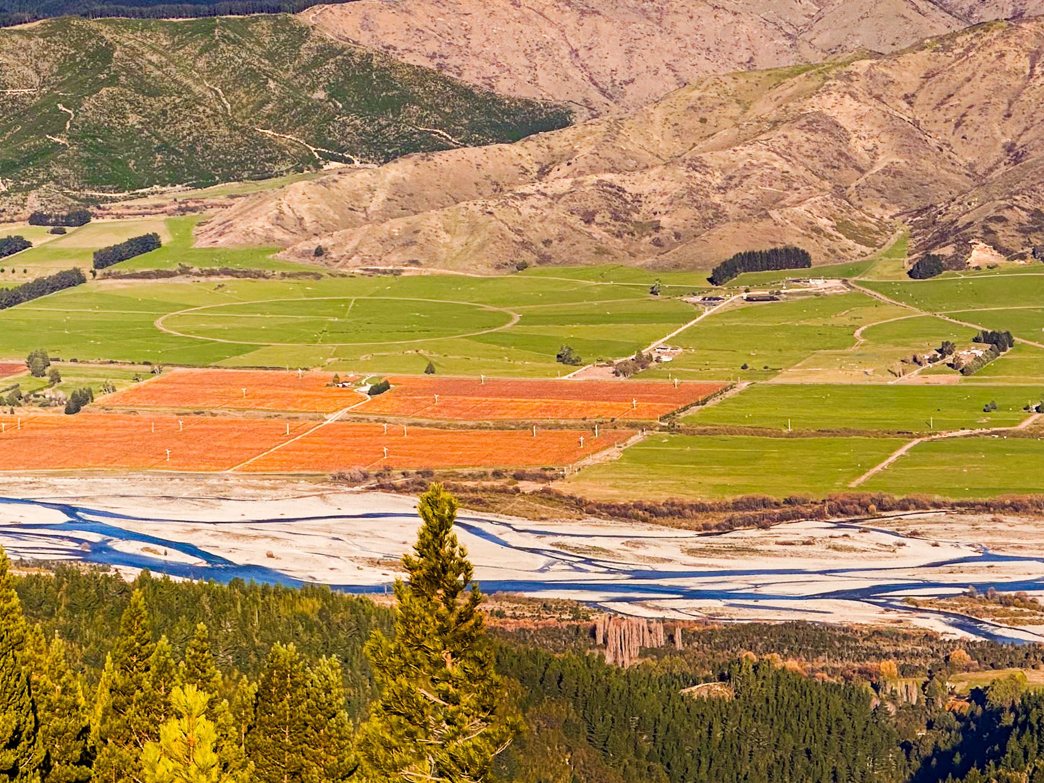
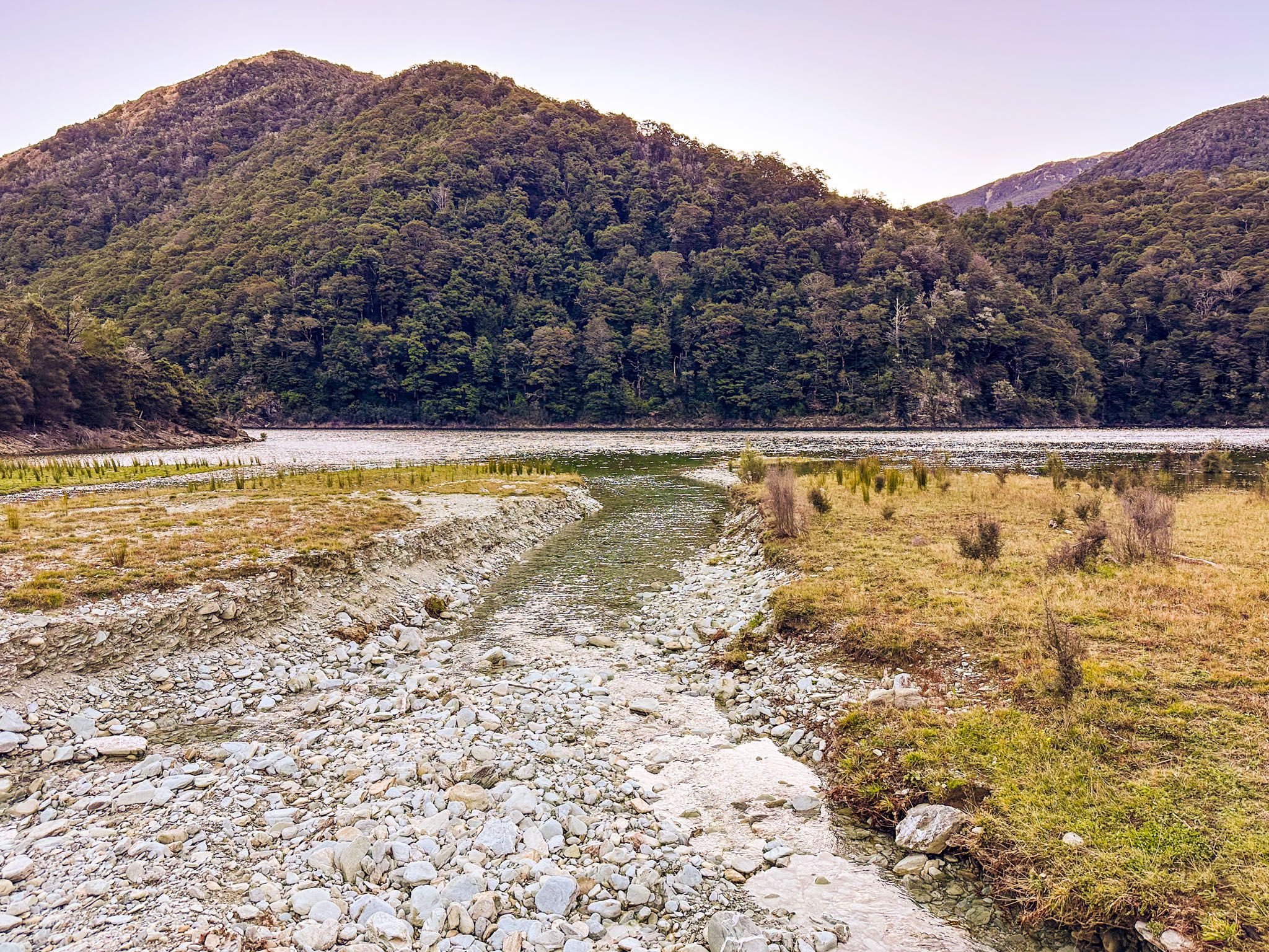
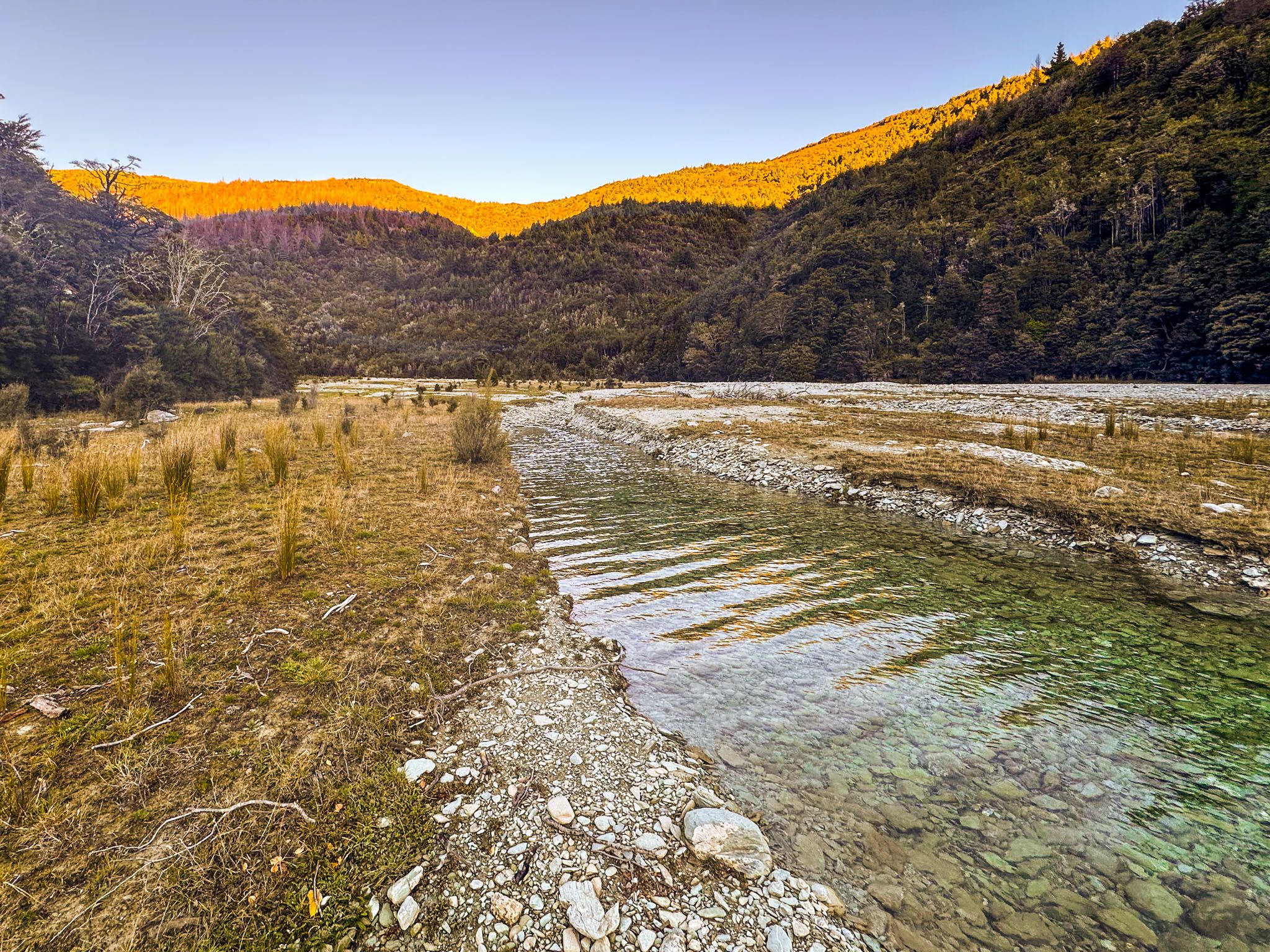
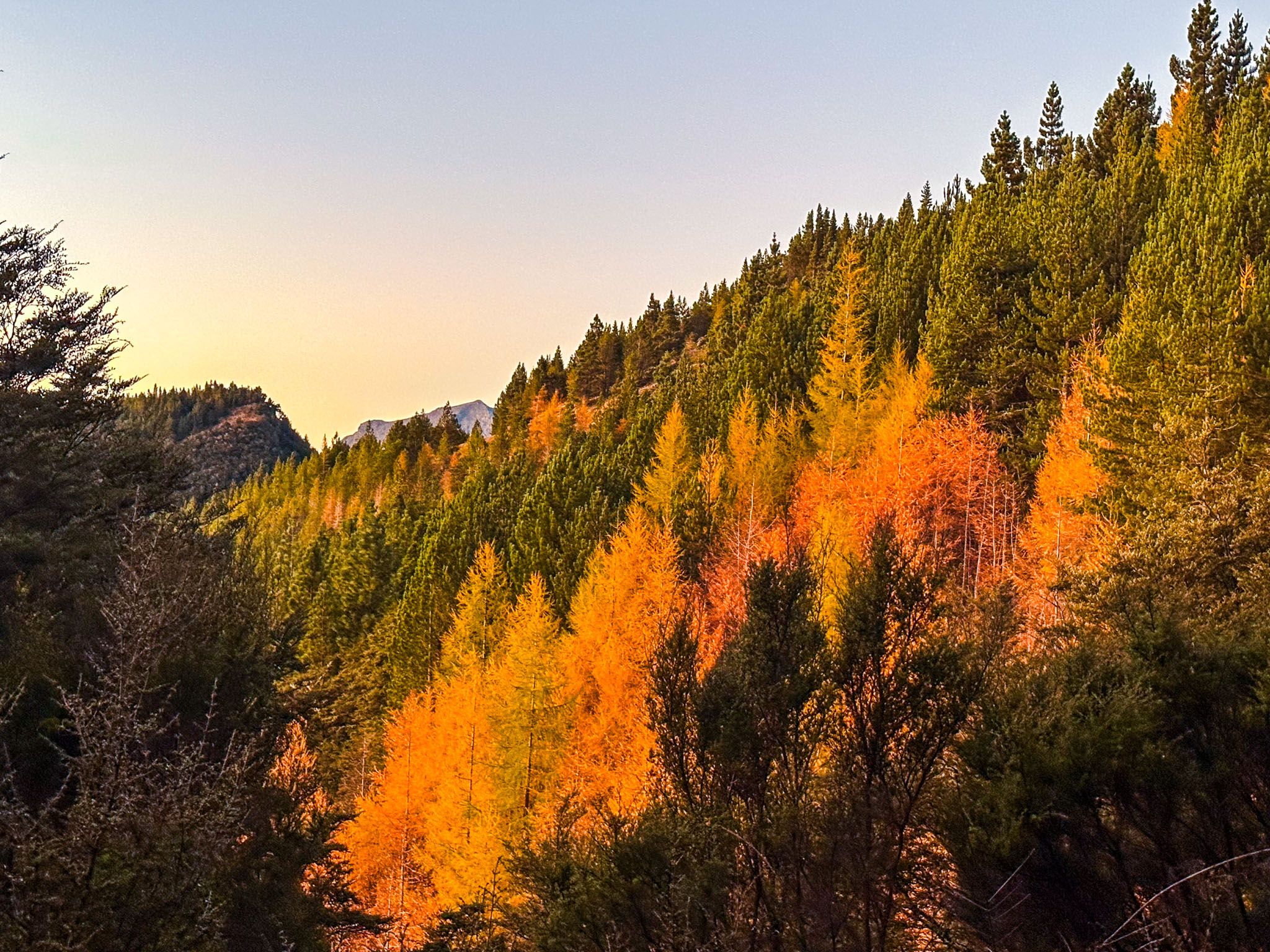
The Wairau Valley stretches west from Blenheim toward St Arnaud, flanked by golden hills and the rugged peaks of the Richmond and foothills of the Kaikōura Ranges. Its alluvial soils and sheltered microclimate are ideal for viticulture, with over 27,000 hectares of vines and dozens of cellar doors northeast of Renwick. Autumn is particularly scenic, as the vines take on rich gold tones and the surrounding hills glow in late-season light. It’s easy to explore the vineyard area by car or on a wine cycle tour based out of Renwick.
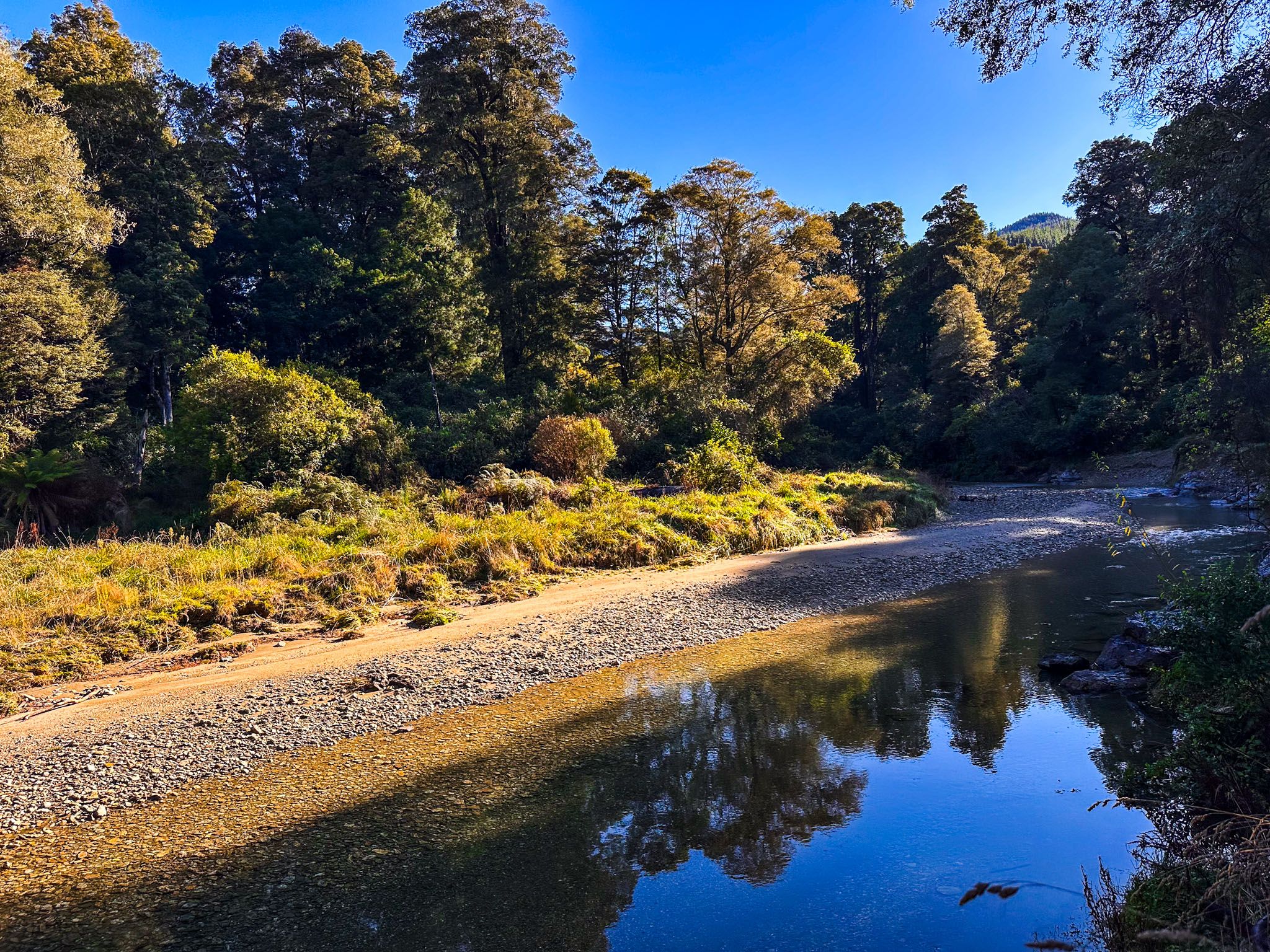
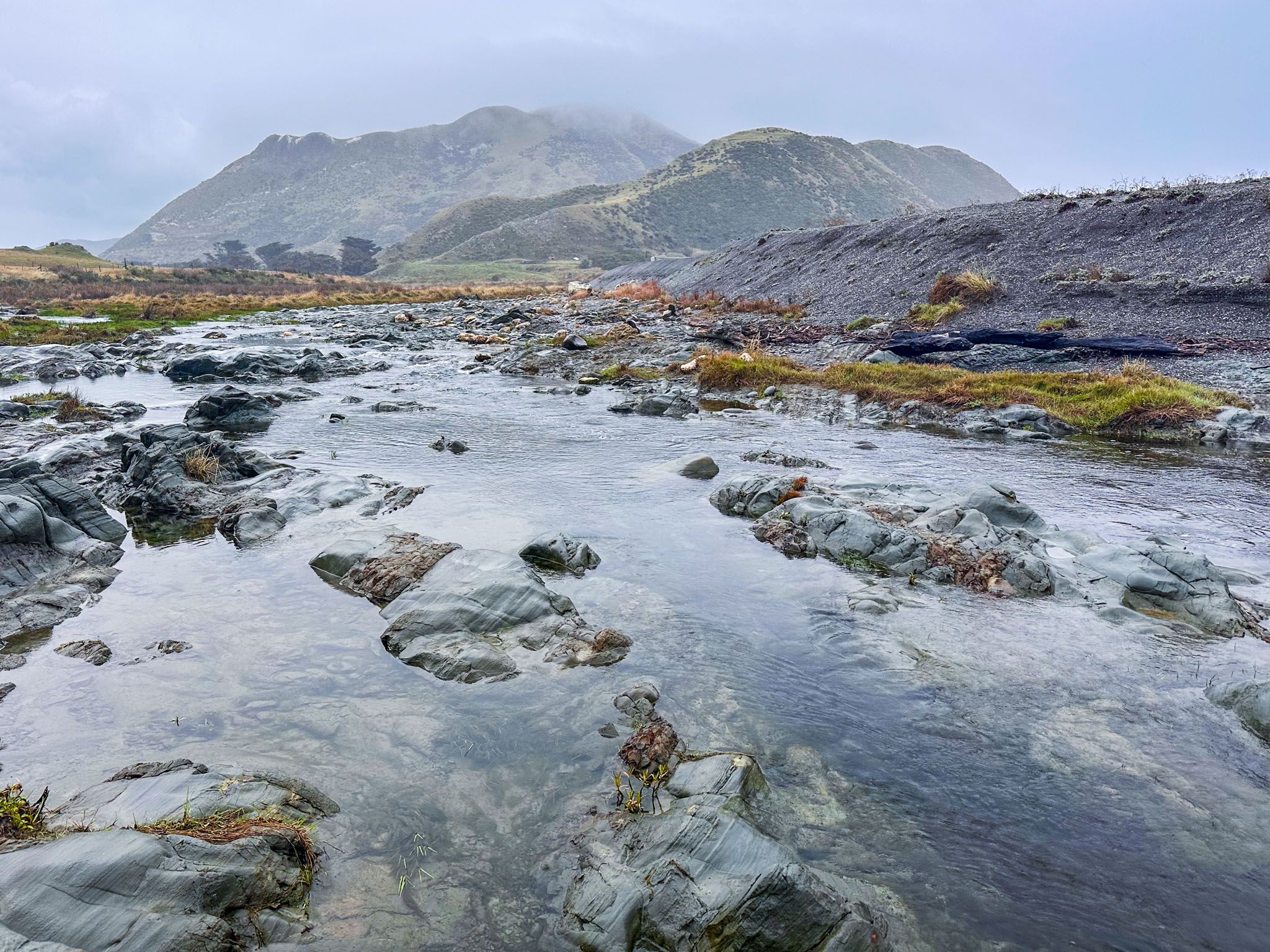
Yet there’s much more to this valley than wine. The braided Wairau River, fed by meltwater from the Southern Alps, has shaped the plain over millennia. Vineyards and pasture, river tracks, and occasional access to quiet picnic spots line gravel beds up to 2.5 kilometres wide. From the Spring Creek Bridge, walk the Bothams Bend Track to enjoy open river views and birdlife. Further downstream, the river meets Cloudy Bay at the Wairau Bar, a nationally significant site where some of the earliest known Māori settlements in Aotearoa have been uncovered. Artefacts and moa bones found here date to around 1280 CE.
Wairau Affray – A Collision of Worlds
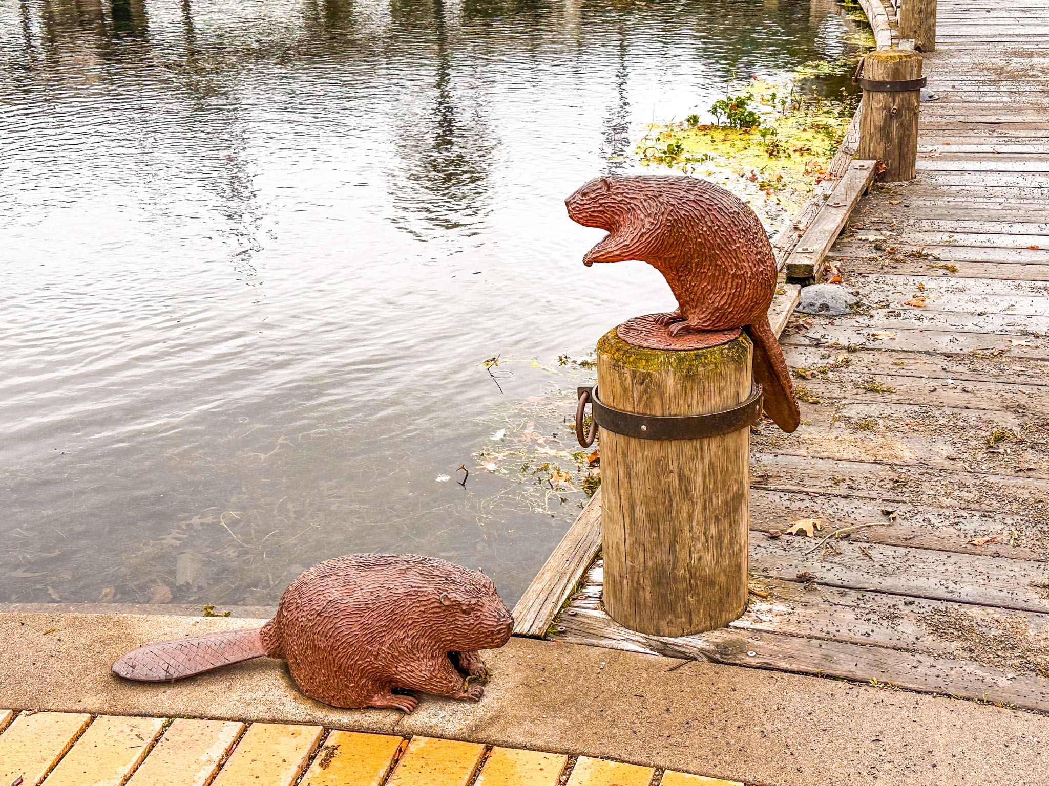
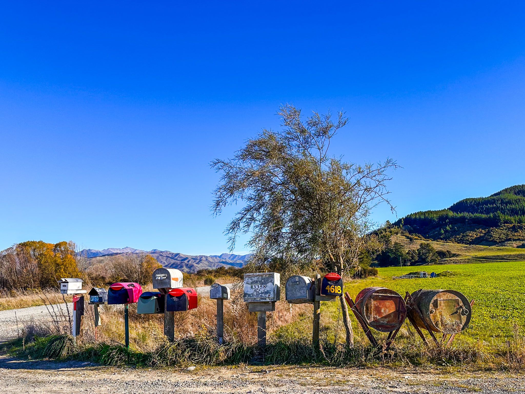
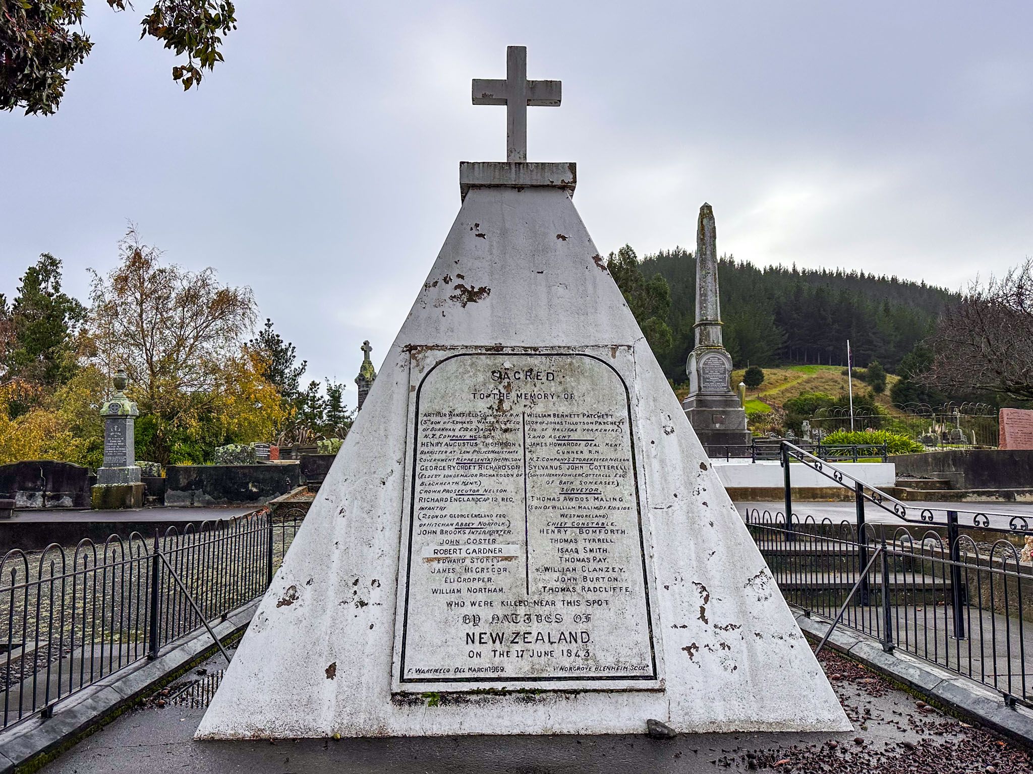
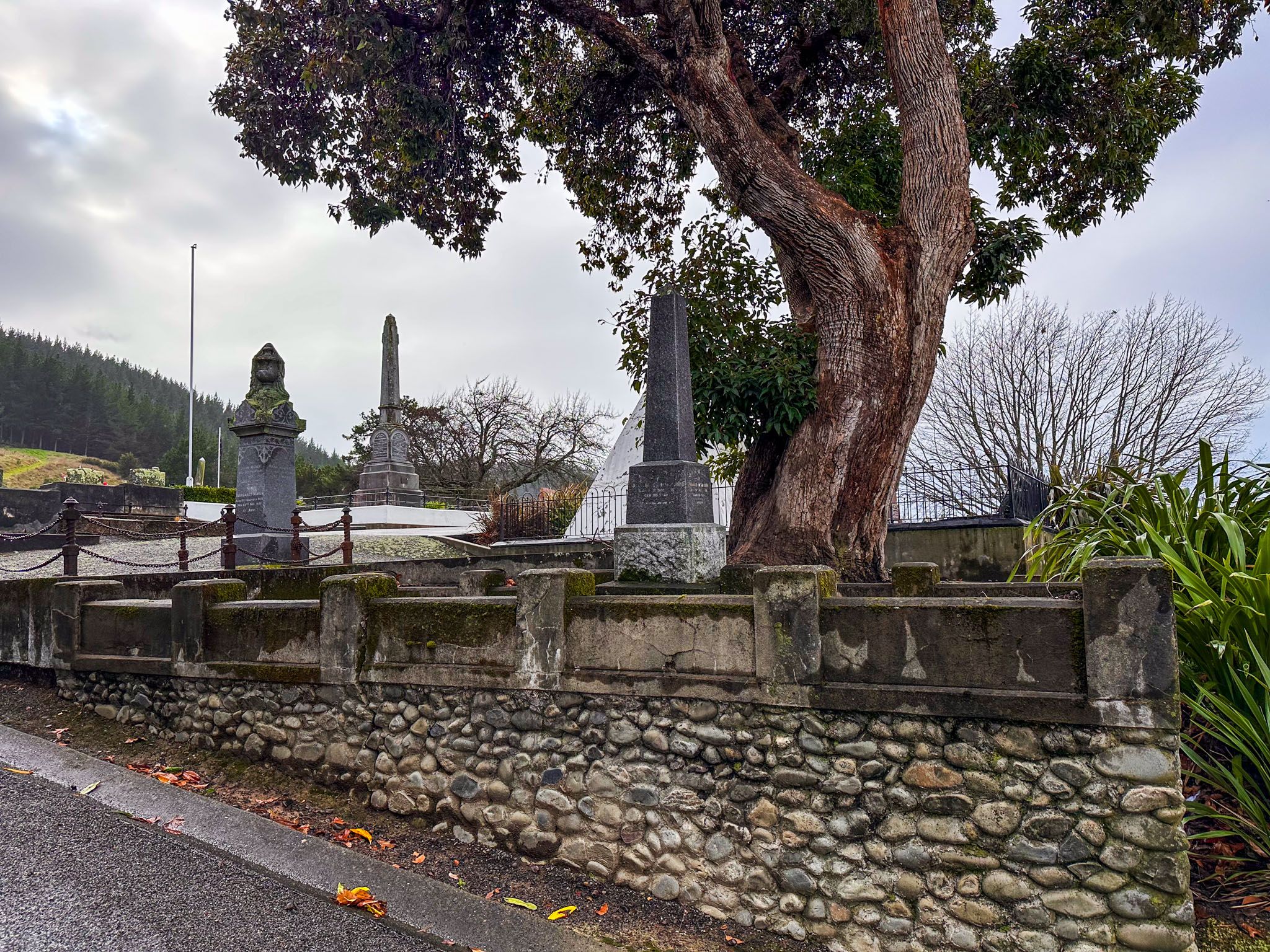
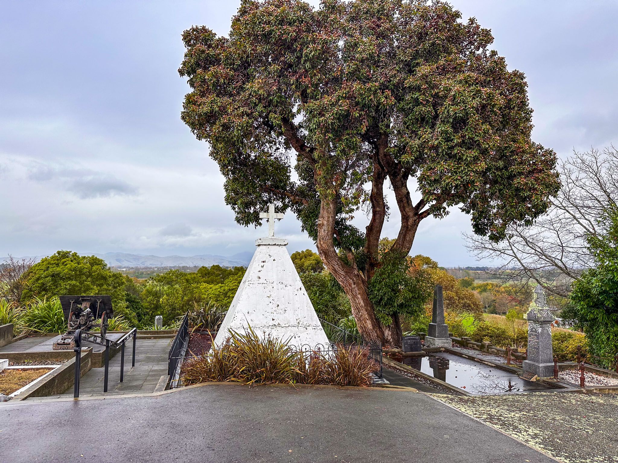
Just north of Blenheim on State Highway 1 lies the peaceful village of Tuamarina. In 1843, this was the site of the Wairau Affray, the first major violent confrontation between Māori and European settlers after the signing of Te Tiriti o Waitangi. The event stemmed from a contested land claim by the New Zealand Company and resulted in 26 deaths, including that of Arthur Wakefield, a founder of Nelson. Though settlers initially demanded reprisals, an inquiry by Governor Fitzroy placed the blame on the Company.
A memorial to the fallen settlers stands at Tuamarina Cemetery, perched on a hill with wide views of the Wairau Plain. A panel at the Pioneer Place site near the Tuamarina River explains the events. While a sobering reminder of New Zealand’s colonial past, it adds insight to any journey through the Wairau Valley.


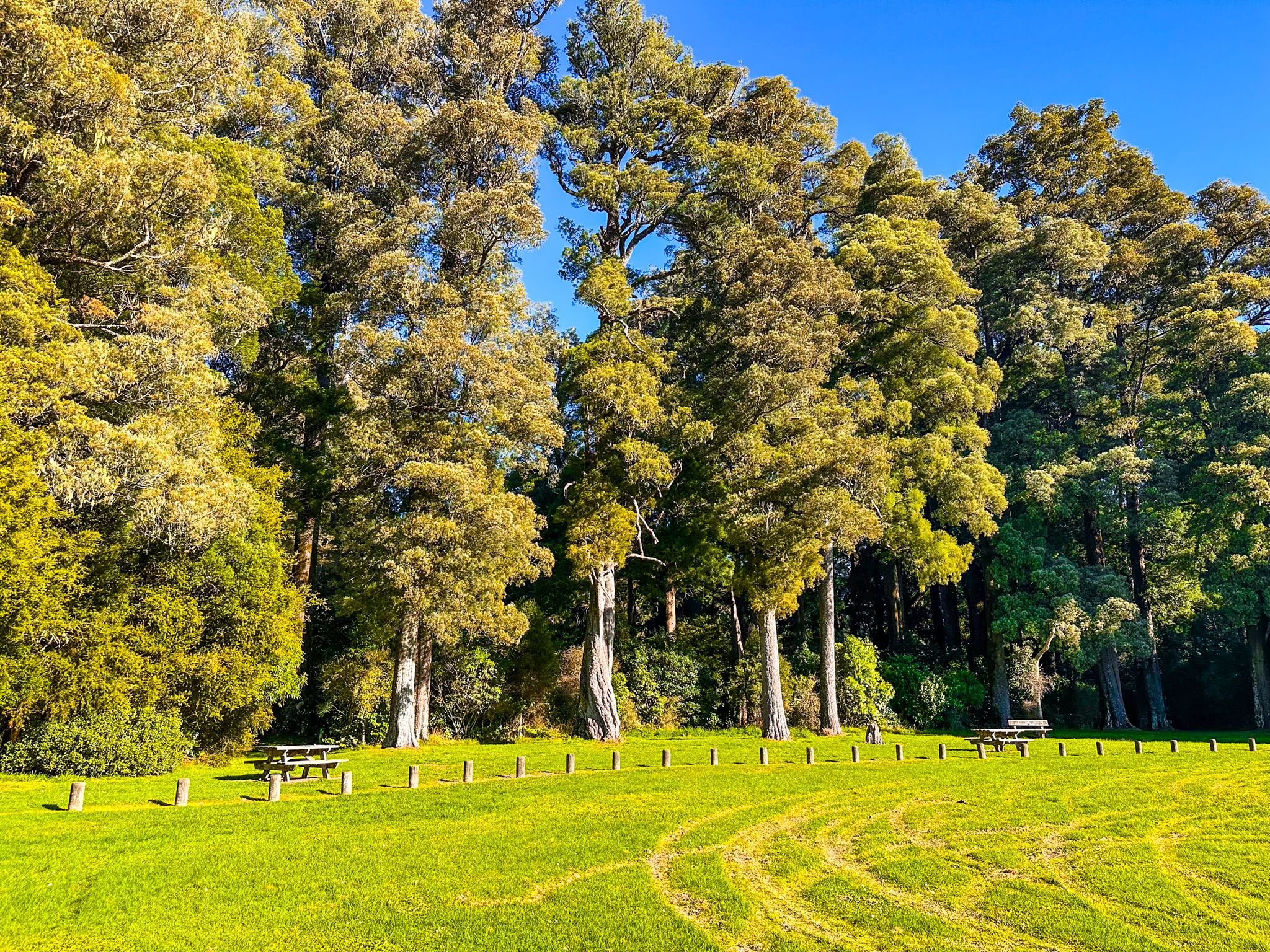
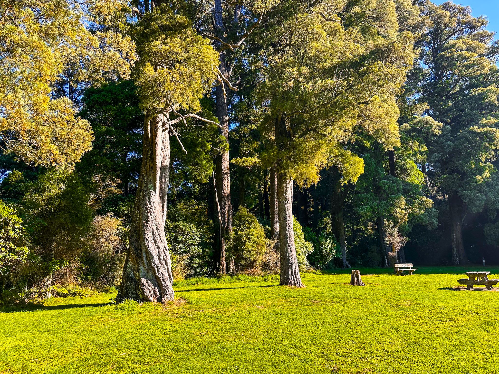
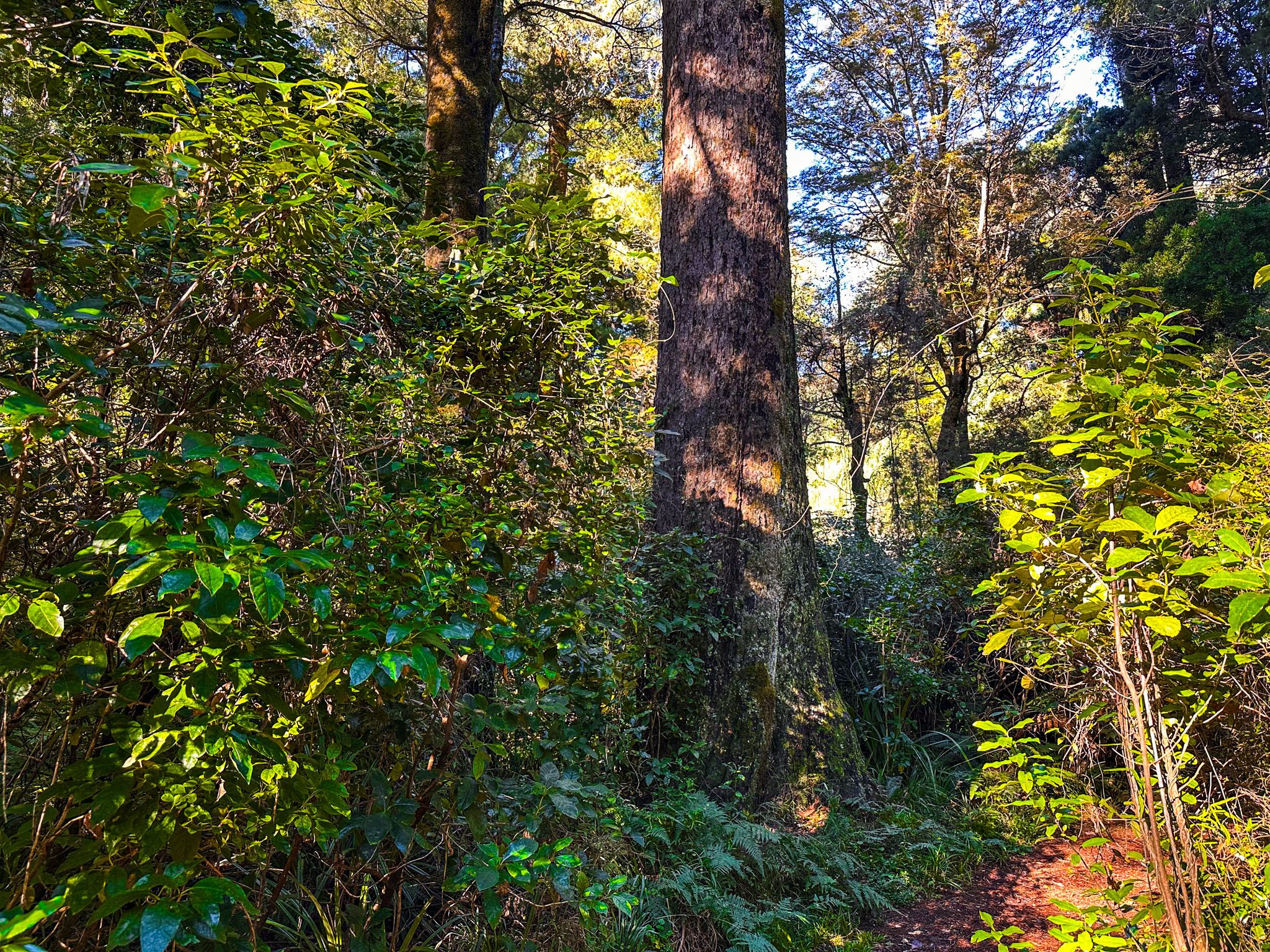
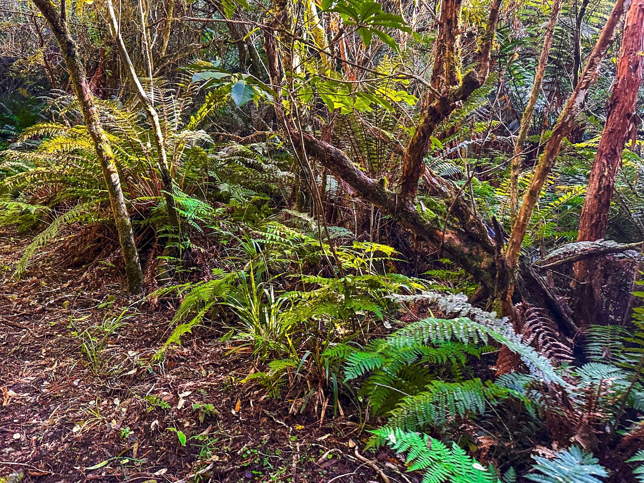
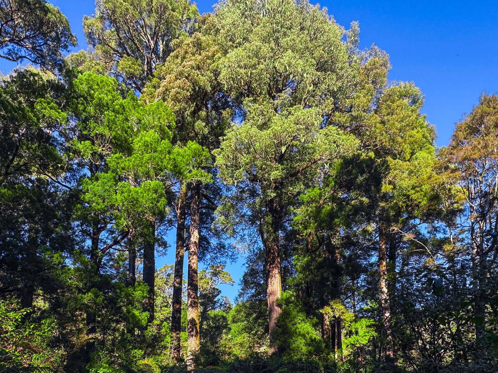
Onamalutu Scenic Reserve – Remnant Ancient Forest
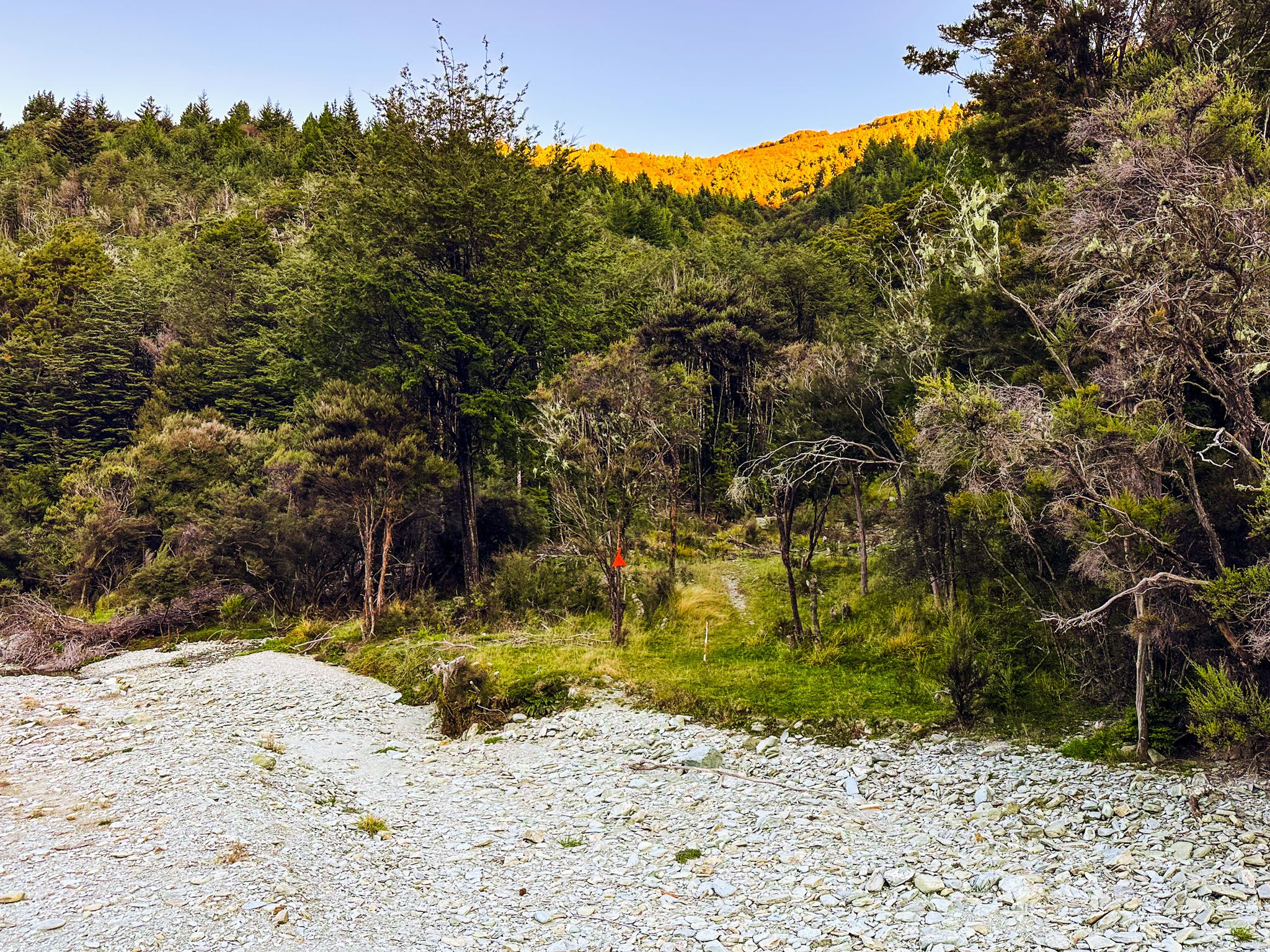
About 30 minutes west of Blenheim on Northbank Road, the Onamalutu Scenic Reserve protects one of the last pockets of ancient podocarp forest in the region. Towering kahikatea and tōtara trees remain here thanks to a sawmill owner’s 1901 donation of land for public use. The reserve has a grassy camping area, short walking tracks through the forest, and access to the Ōhinemahuta River. It’s a peaceful spot for an overnight stay or short walk, with birdsong and mossy forest creating a primeval atmosphere.
For hikers, the reserve is also a gateway to the Wakamarina Track, a historic route over the ranges once used by gold miners. Accessed via Kiwi Road, this gravel extension of Onamalutu Road leads west toward the Wakamarina Valley.


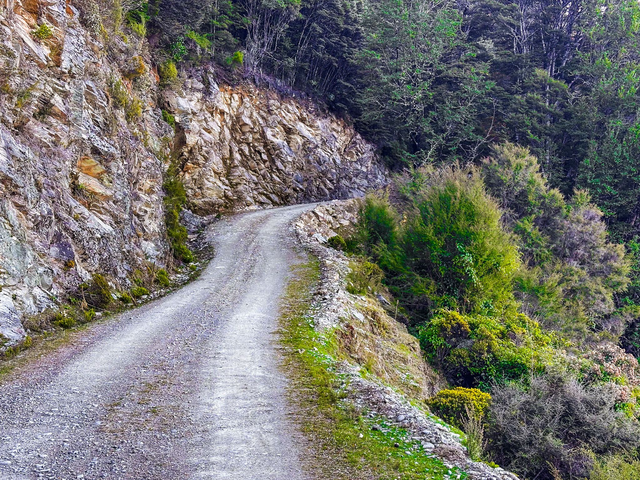
Staircase Road – Into the Richmond Range
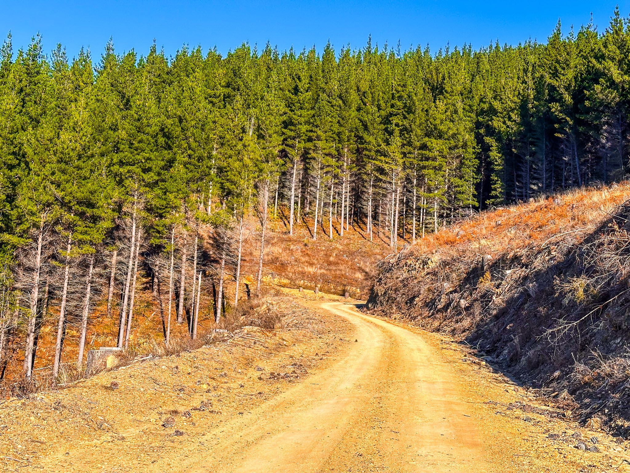
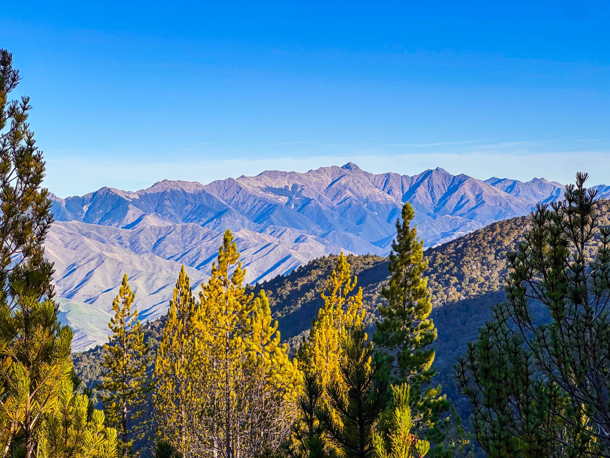
Continue west on Northbank Road and you’ll reach Top Valley Road, which climbs steeply into Mount Richmond Forest Park via Staircase Road, a dramatic gravel track gaining over 1,000 metres in altitude. In dry conditions, most cars can handle the trip with care, though logging operations can affect access. The road winds past pine plantations into native forest and offers spectacular views as you climb toward the summit ridge.
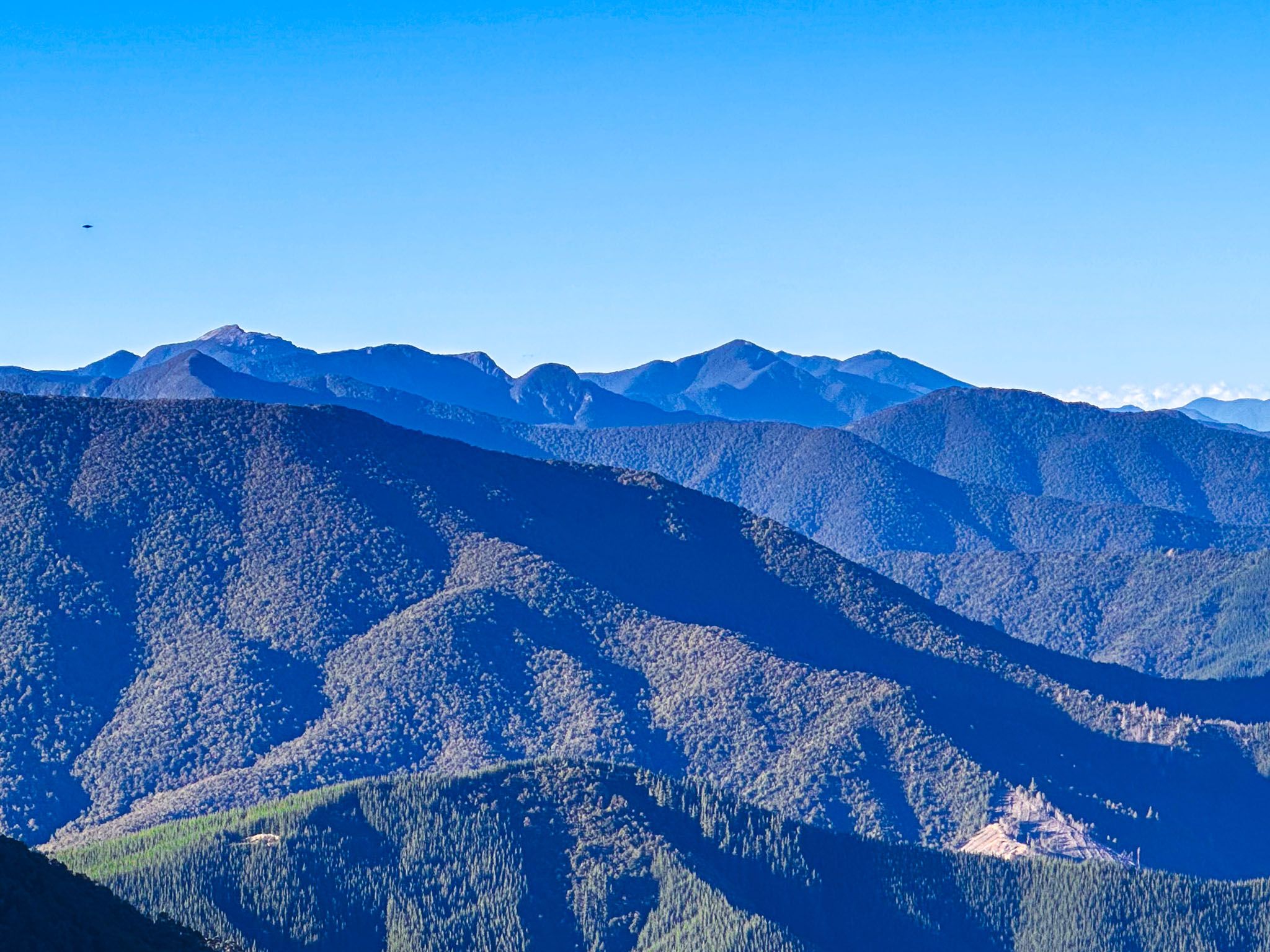
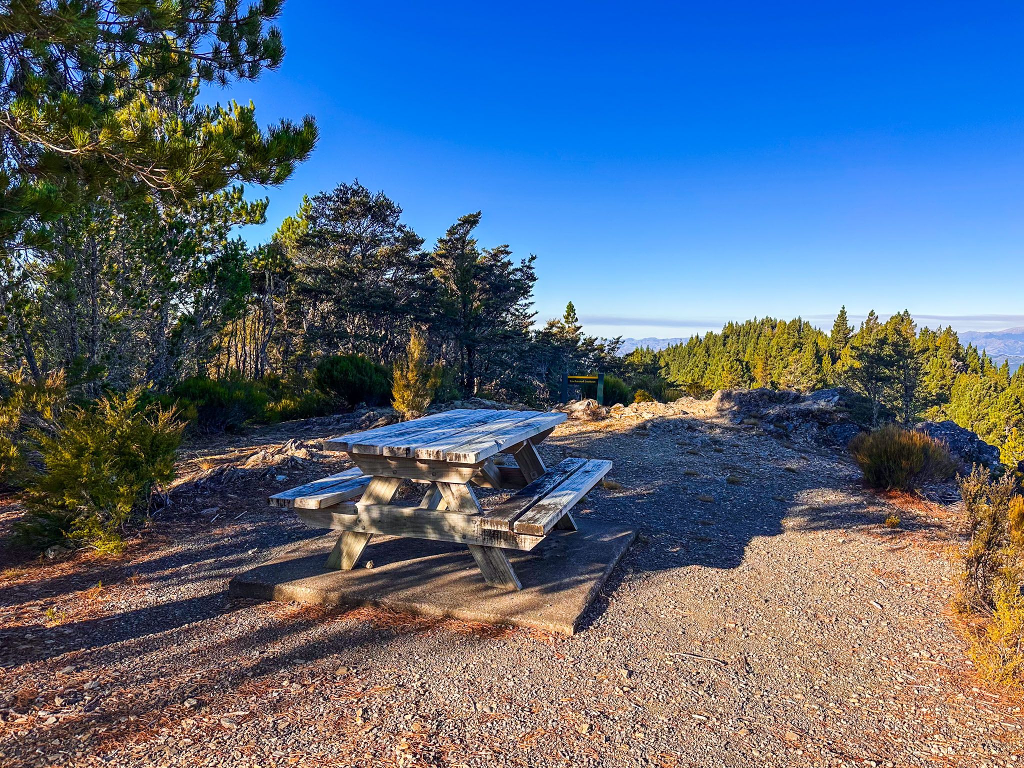
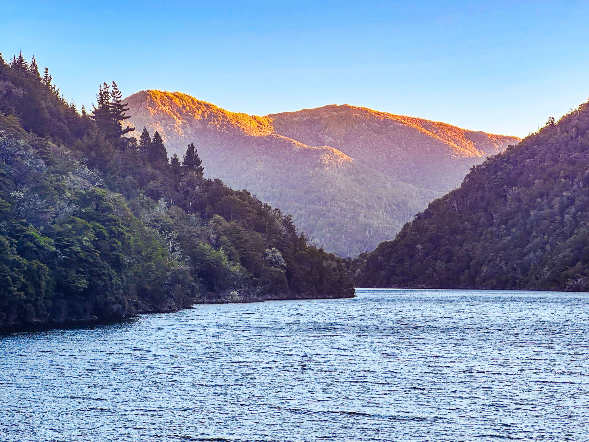
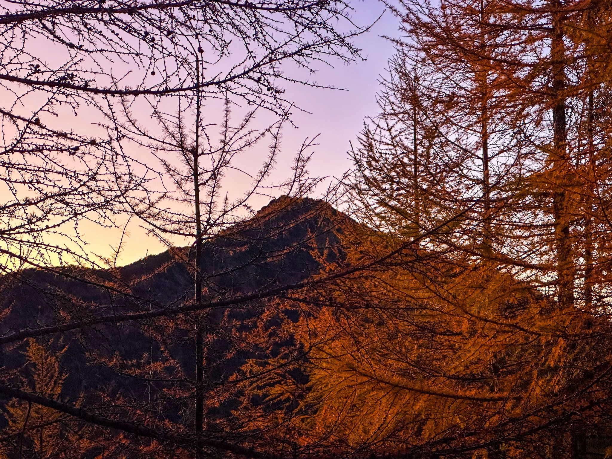
Near the top, you’ll find a small parking area for the Enchanted Lookout Track. A short 200-metre walk brings you to a rocky outcrop with a panoramic view over the Wairau Valley, from the braided river far below to the distant Kaikōura Ranges. It’s one of the best elevated views in the region.
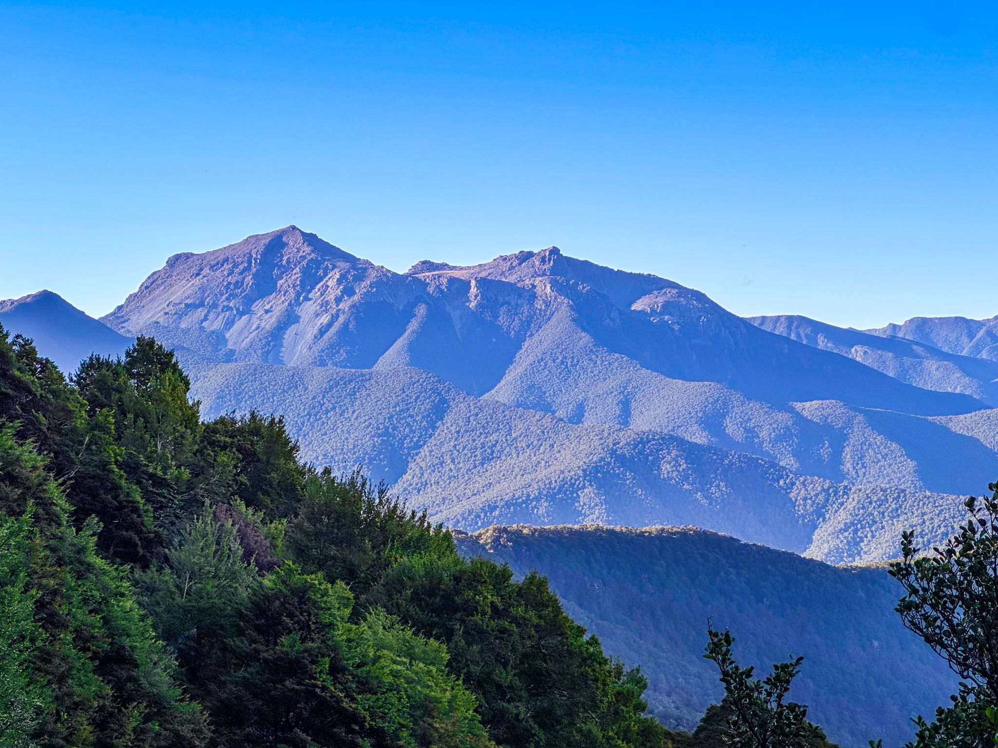
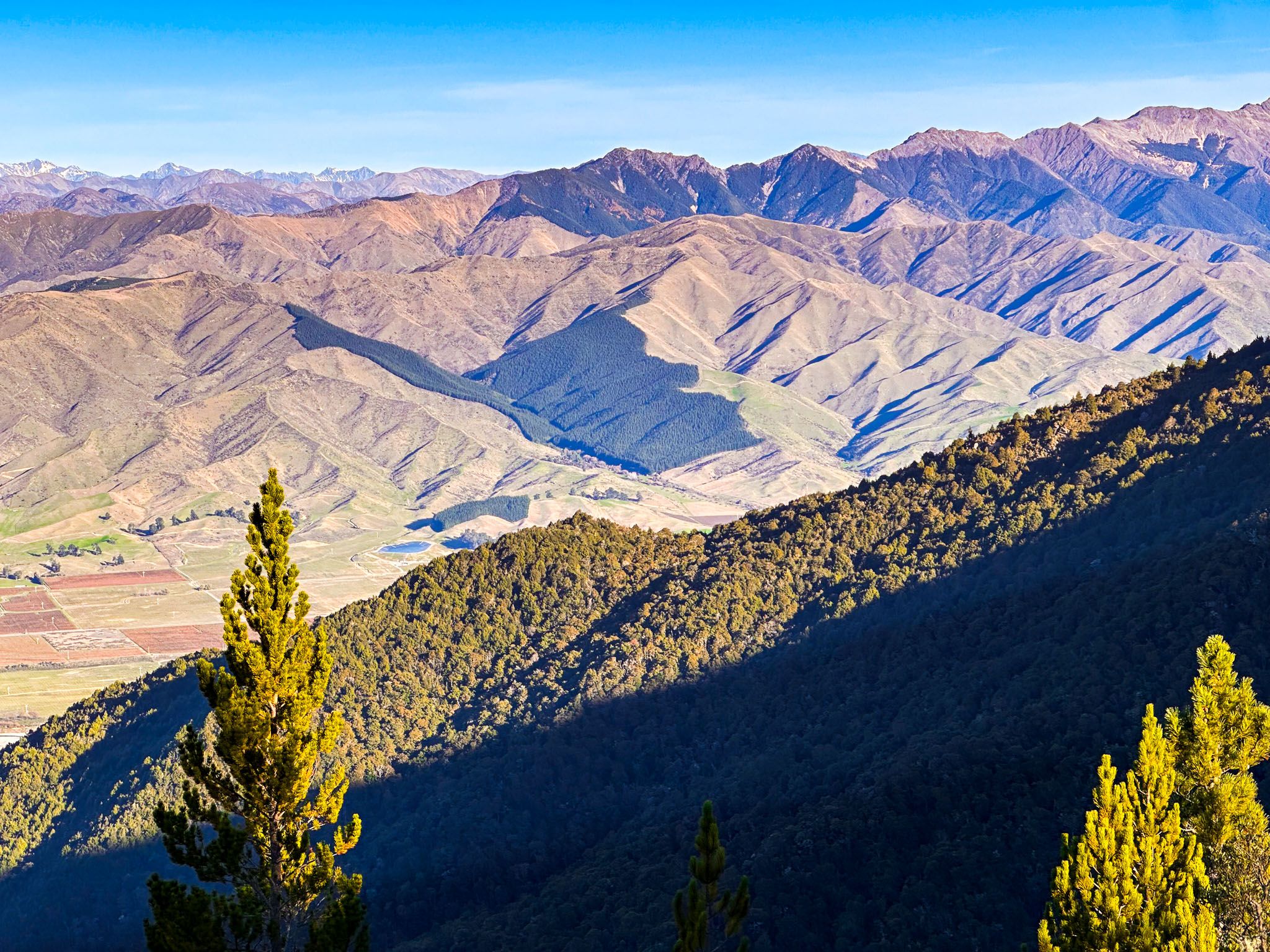
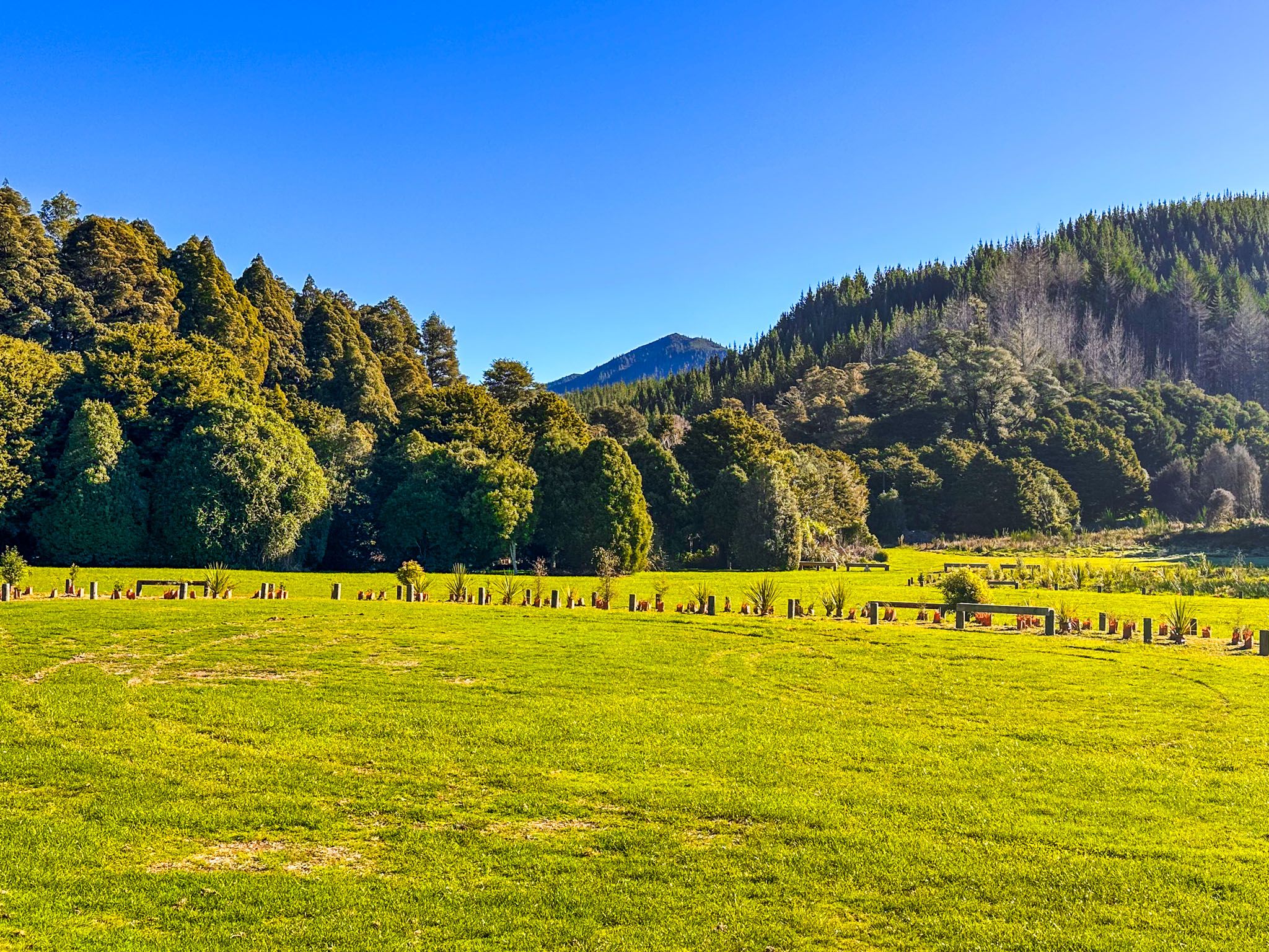
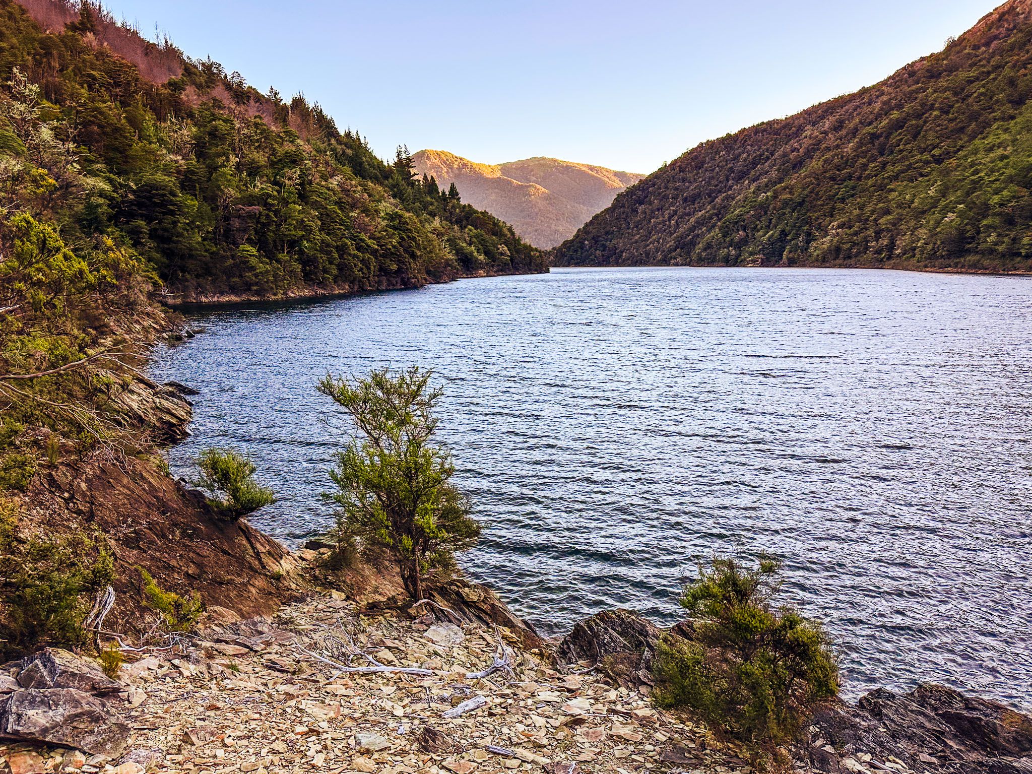
Lake Chalice – Beech Forest and Wilderness Solitude
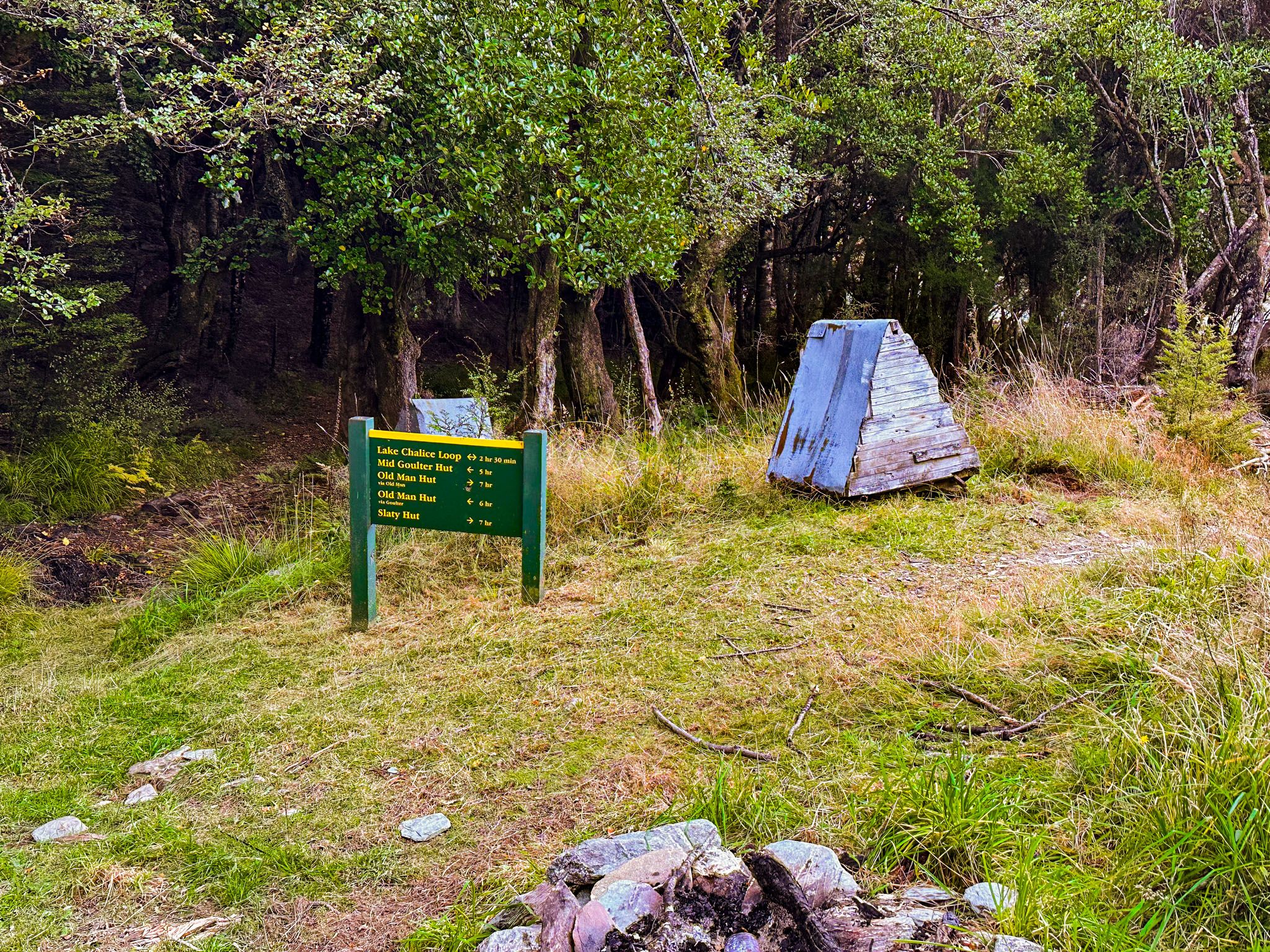
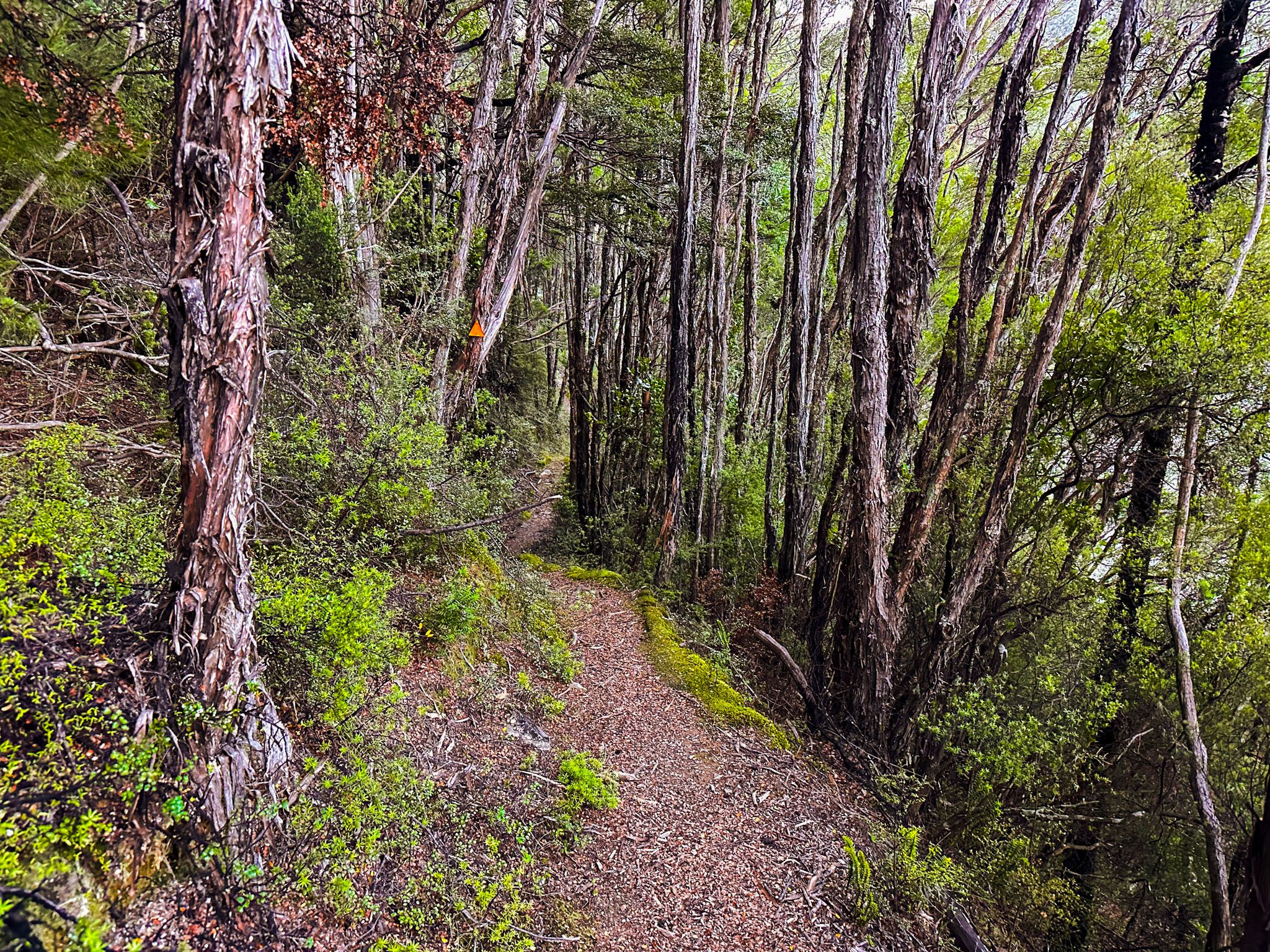
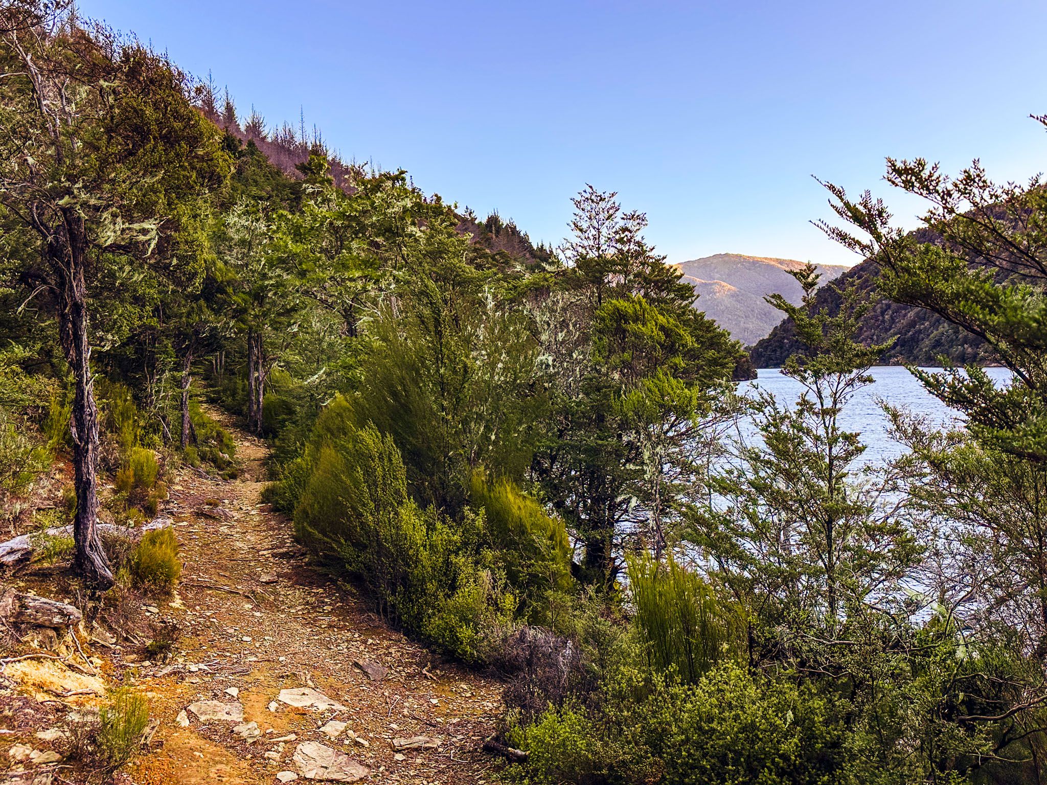
Just beyond the Enchanted Lookout, Staircase Road takes you to a car park at 1,200 metres. From here, a steep 500-metre descent takes you through beech forest to the serene waters of Lake Chalice. Nestled at 750 metres, this is the only lake in Mount Richmond Forest Park and a prime destination for nature lovers and trampers. A DOC hut near the lake offers basic accommodation, and a loop track around the lake makes for an easy two to three-hour circuit through native bush and alongside the stony shoreline.
For more experienced trampers, longer multi-day routes link from here into the interior of the Richmond Range, including the Goulter Track and sections of Te Araroa. Even for a day visitor, the combination of remote forest, high-altitude scenery, and birdlife makes the effort well worth it.
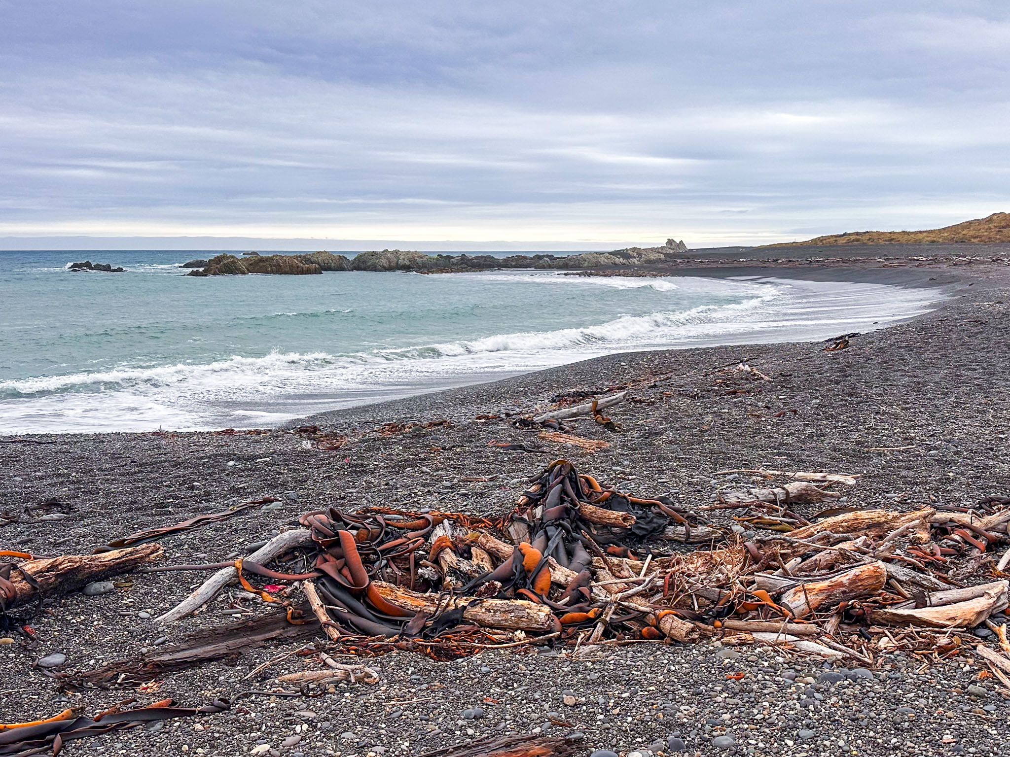
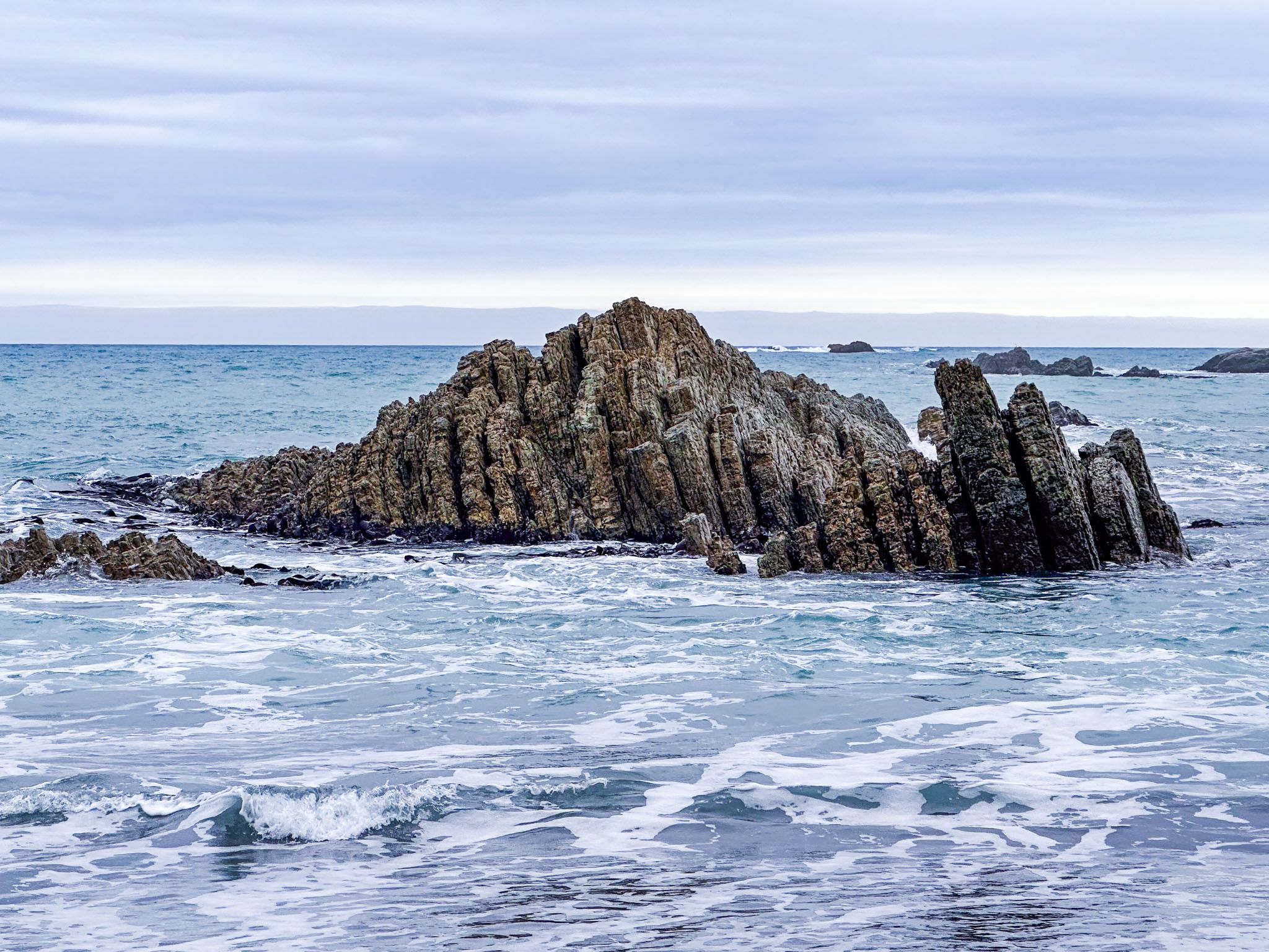
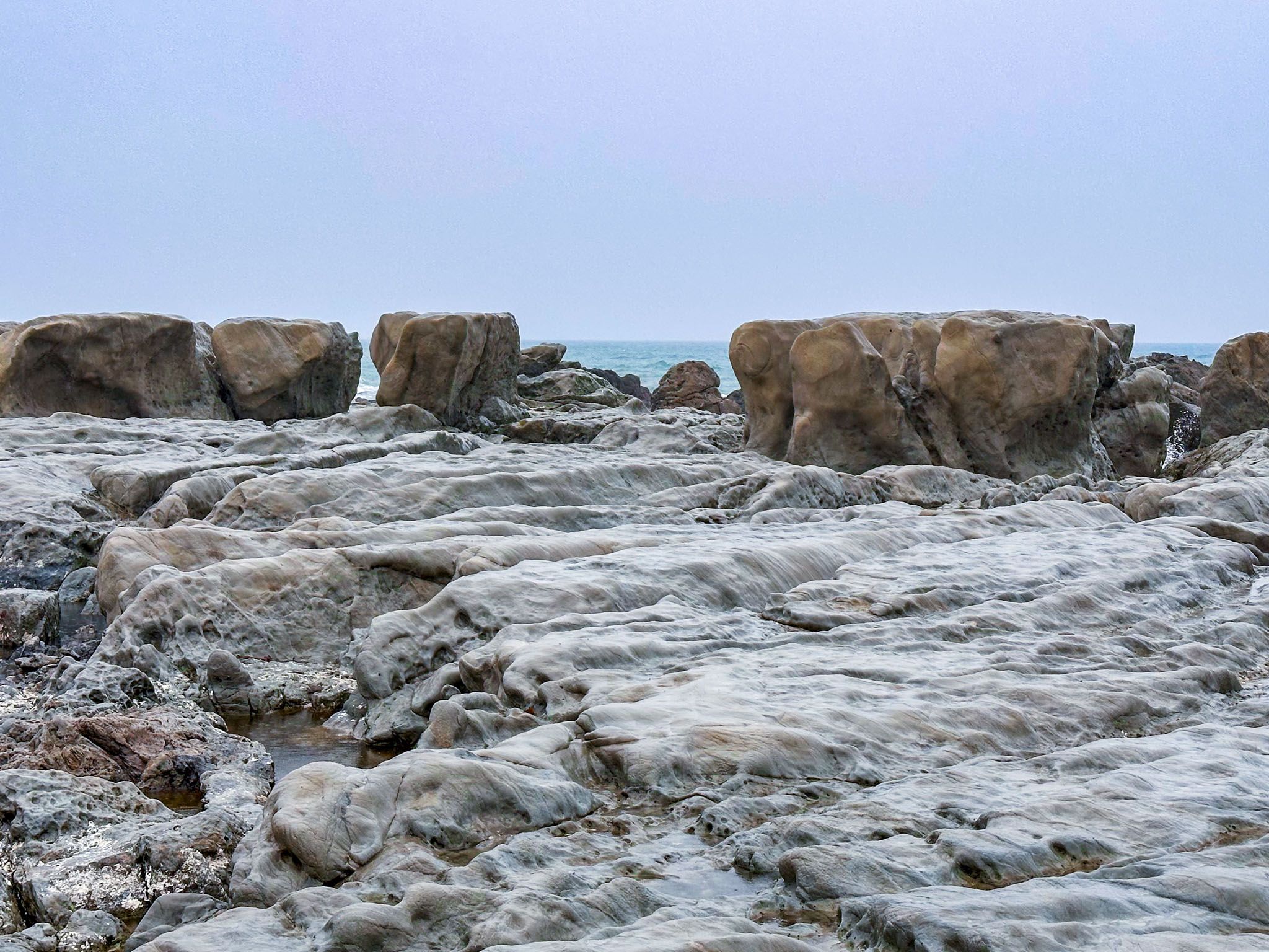
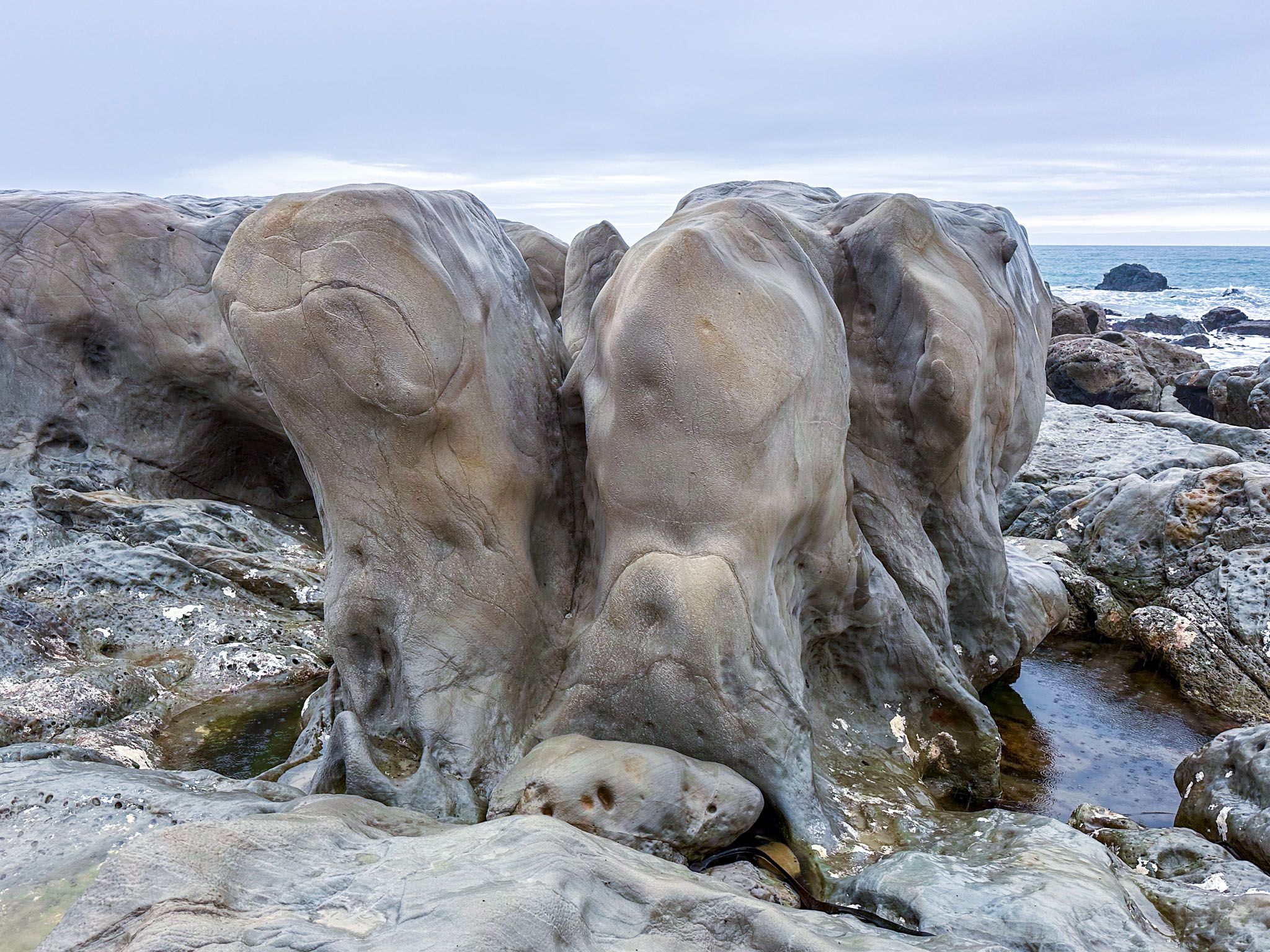
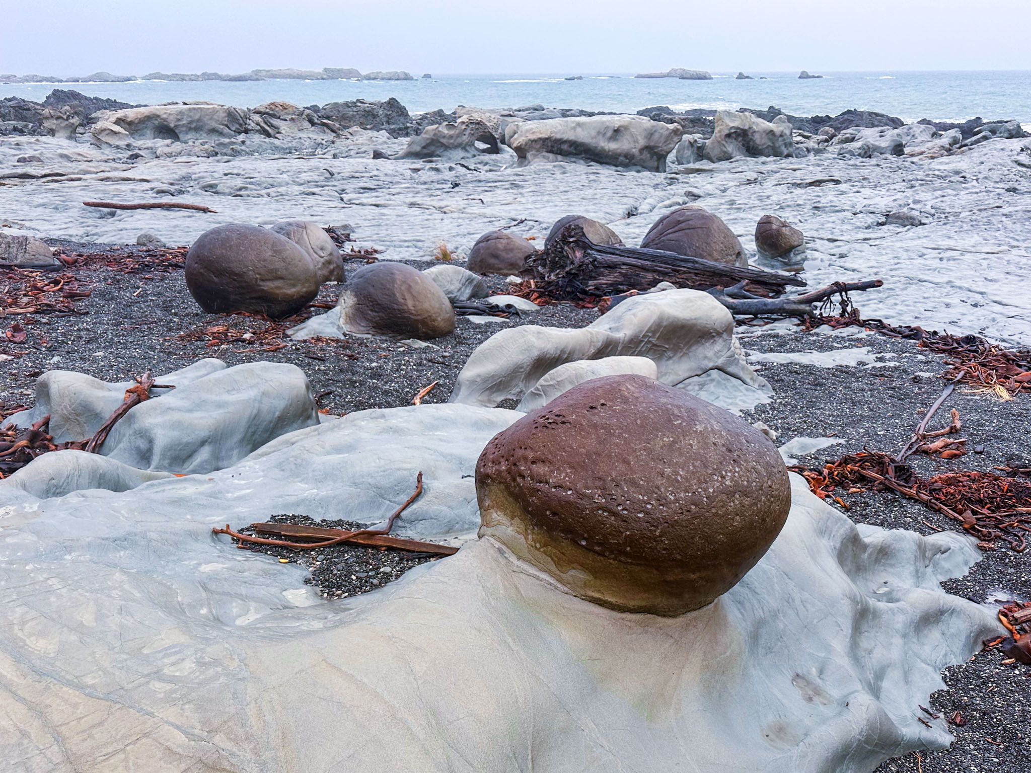
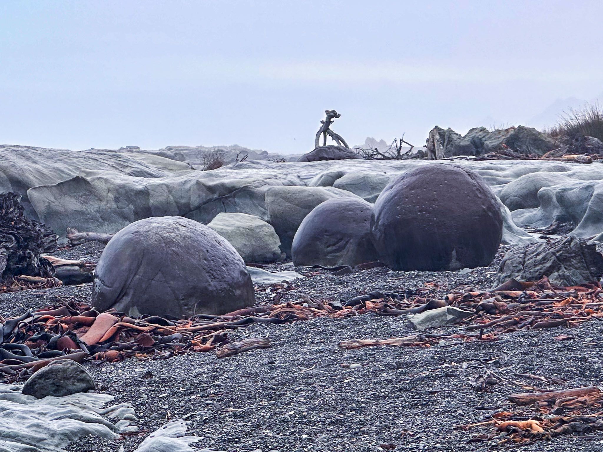
Ward Beach – Earthquake-Raised Reefs and Moeraki-Like Boulders
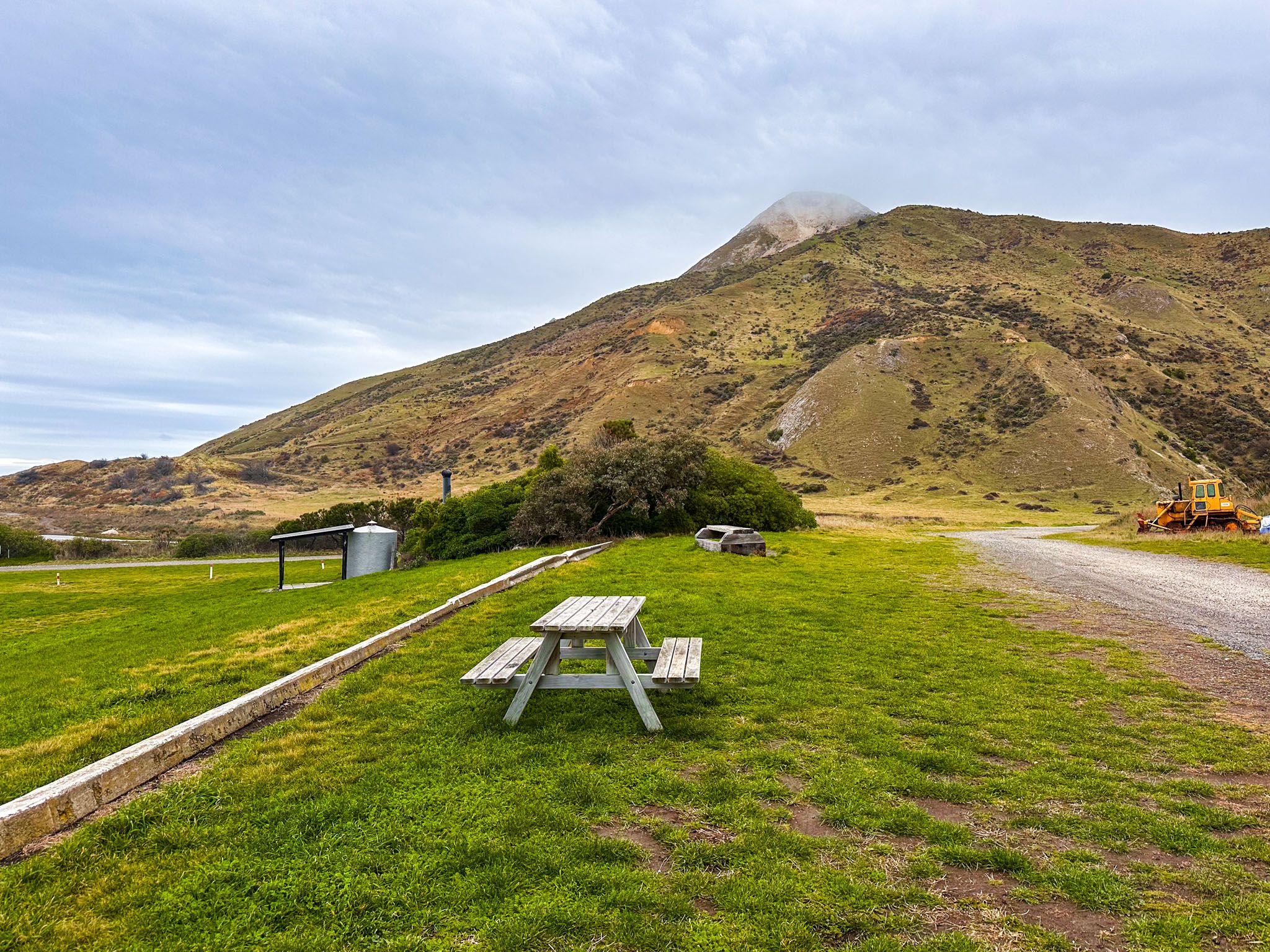
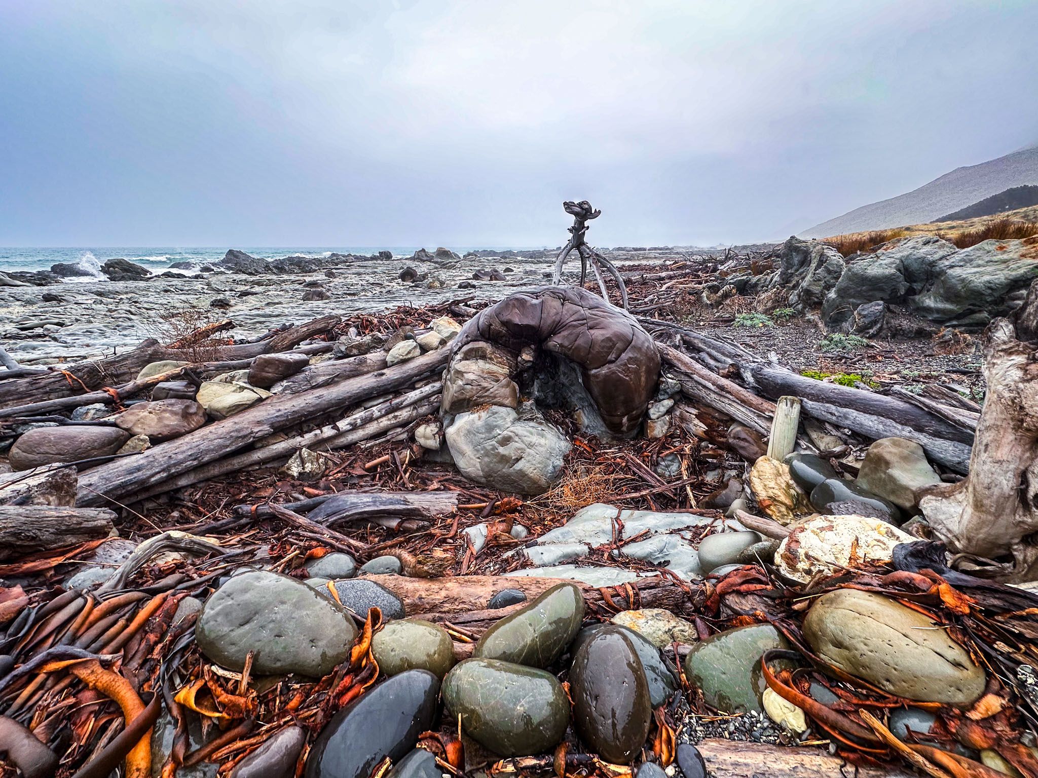
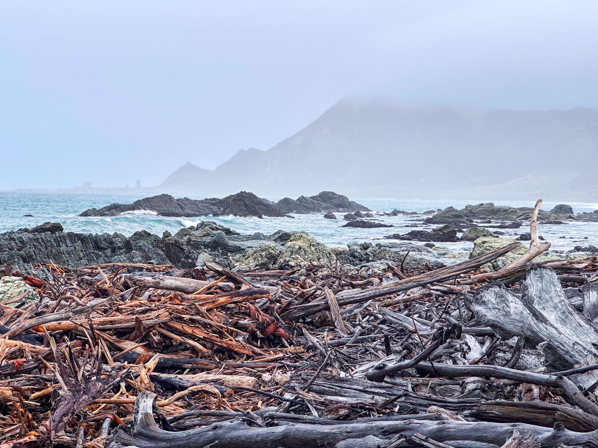
Complete your trip with a striking contrast by heading southeast from Blenheim to Ward Beach, about an hour away on State Highway 1. This isolated pebble beach, just north of the small town of Ward, became geologically fascinating after the 2016 Kaikōura earthquake raised the seabed by up to three metres. The uplift revealed wave-cut limestone reefs, rounded boulders formed in ancient seabed mudstone, and fossil-rich layers marking the Cretaceous-Paleogene boundary.
The round boulders, 800 metres north of the car park and now nicknamed the Ward Boulders, are similar to the better-known Moeraki, Whitecliffs and Koutu Boulders. Further north, a walk-only section leads to the scientifically protected Chancet Rocks. Southward, the Flaxbourne River has carved through gravel banks to create a small lagoon and reveals more sculpted outcrops. A picnic area and informal campervan camping make this an excellent, off-the-beaten-path overnight option. Keep an eye out for fur seals basking on the reefs.
Back to Blenheim – Trip Complete
From Ward Beach, it’s just over an hour’s drive back to Blenheim, completing a trip that blends high-altitude trails, vineyard plains, coastal geology, and the deep currents of history. Whether you travel the full circuit or pick just a few highlights, this inland journey shows a Marlborough well beyond the postcards, a place of story, scale, and surprise.
Helpful Hints for Exploring Marlborough Inland and Coast
Start in Blenheim – With good accommodation, food, and services, Blenheim is the best base for exploring inland Marlborough. Many attractions are within a short drive or cycle.
Drive Northbank Road for river views – Most of SH63 offers limited views of the Wairau River. For better scenery and access to trails, take Northbank Road from SH6.
Staircase Road requires care – This rugged forestry road to Lake Chalice and Enchanted Lookout is usually fine in dry conditions for 2WD cars, but can be rough and slippery when wet. Check for forestry closures.
Visit vineyards in the morning – Marlborough’s cellar doors are mostly open from 10 am–4 pm. Morning visits avoid crowds and offer clearer driving conditions later in the day.
Be prepared for sandflies and wasps – Lake Chalice and Onamalutu Scenic Reserve can have sandflies, and wasps are common in late summer. Bring repellent.
Ward Beach is remote but rewarding – This lesser-known coastal spot has unique geology and informal camping. Take care on the gravel road and check tide conditions before exploring the rock platforms.
Phone coverage varies – There’s good mobile reception in Blenheim and much of the Wairau Valley, but coverage drops in more remote parts of the rregion.
Allow time for detours – The trip is doable in two days, but adding an extra overnight stay or two lets you explore at a more relaxed pace.