Ward Beach is the only place you can access the northeast coast of Marlborough between Cape Campbell and the Waima River Mouth as you drive State Highway 1. Although the beach is predominantly composed of pebbles and gravel, it is a hidden gem worth exploring, with its combination of unusual rock formations, Moerakei-style boulders and wildlife.
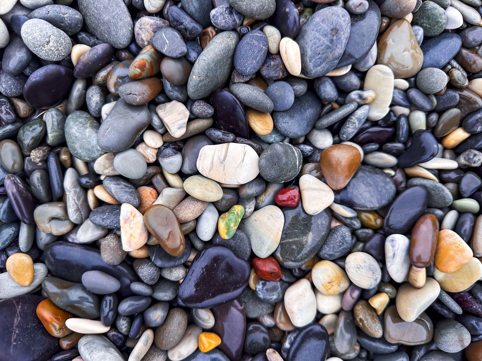
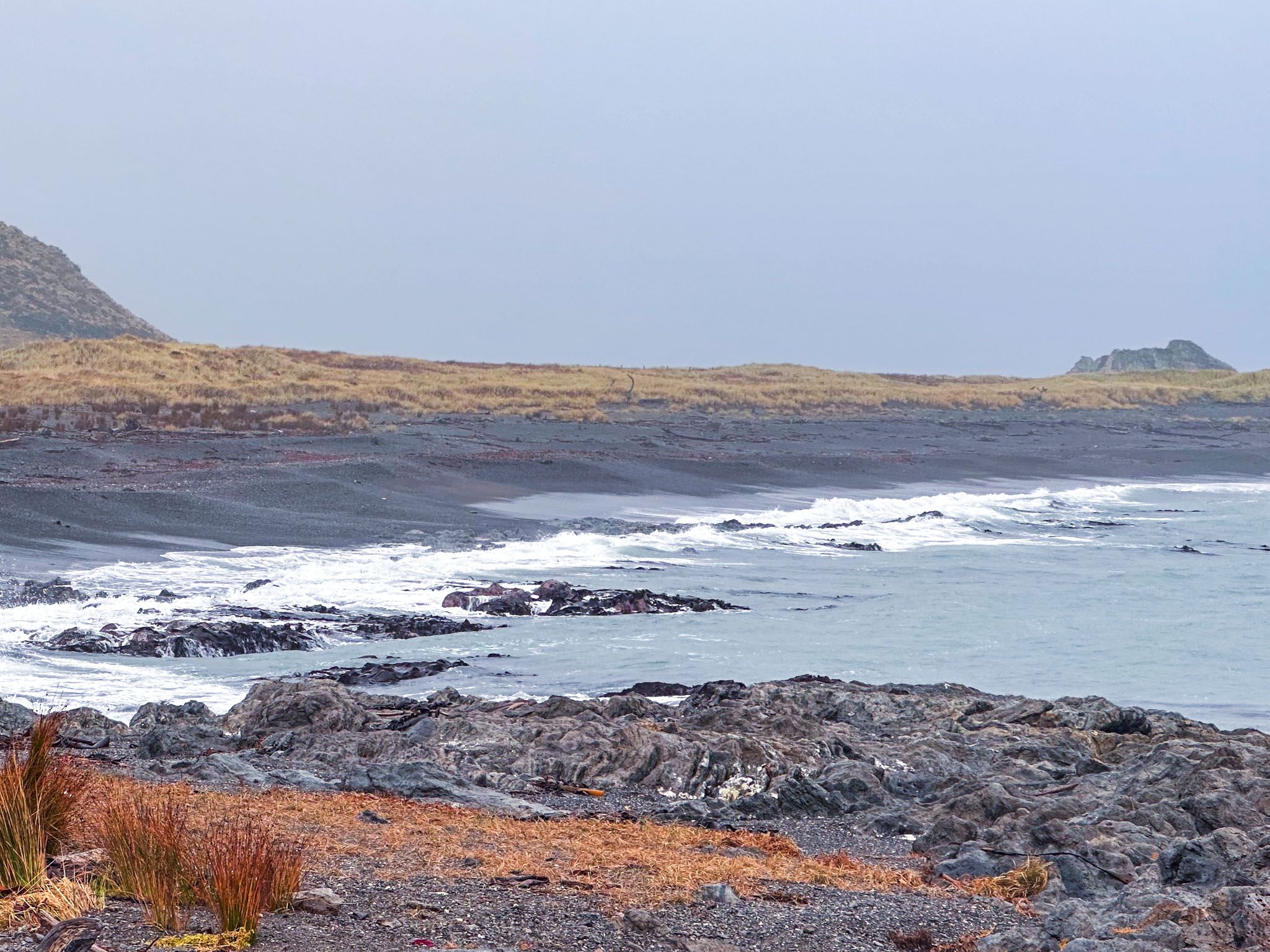
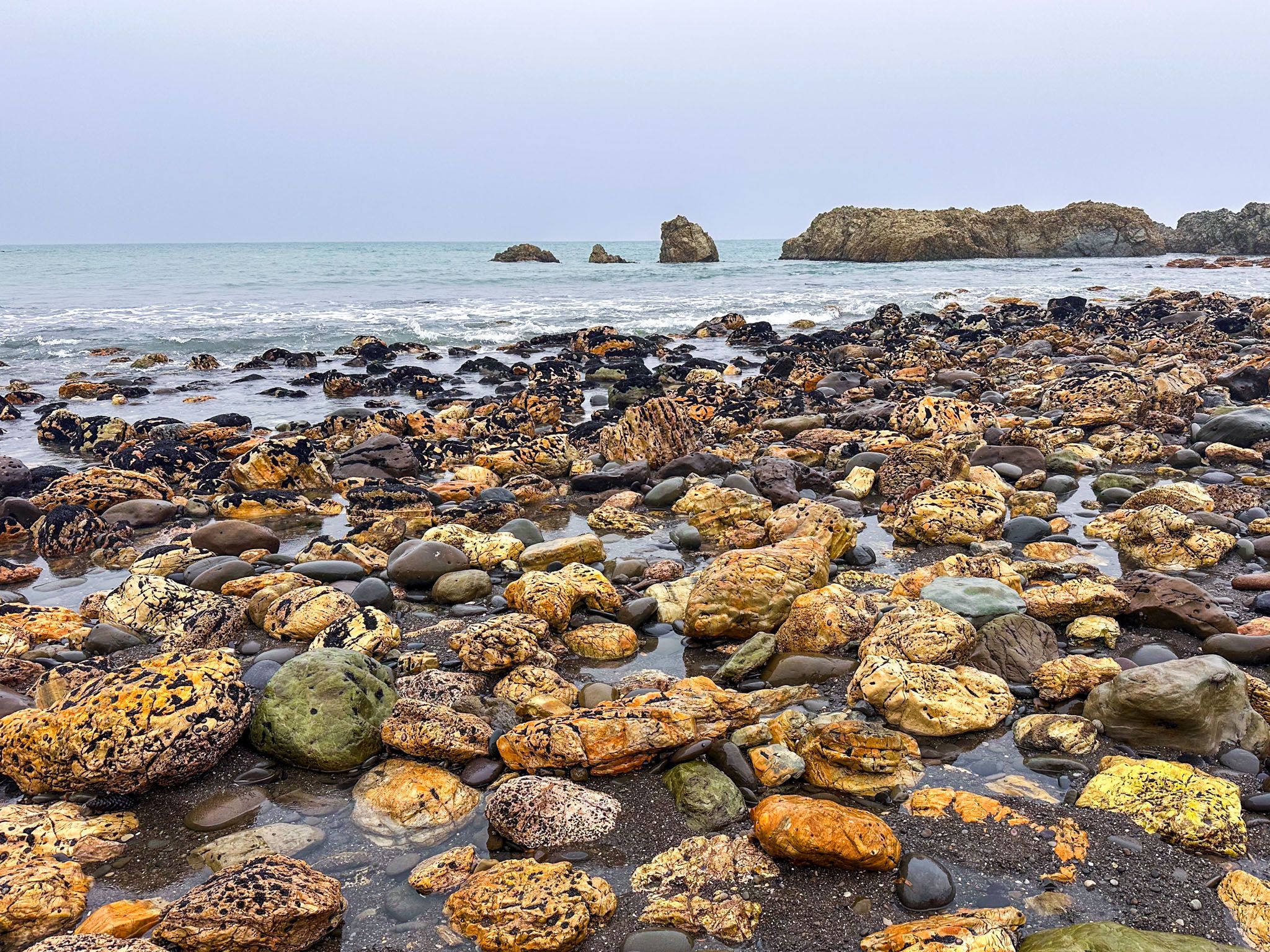
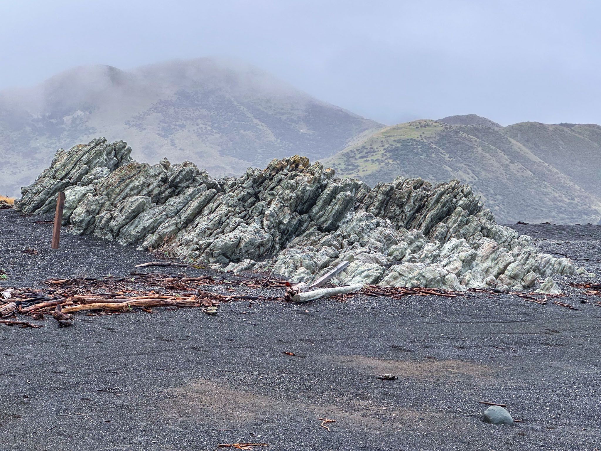
The pebbly beach is relatively small at 300 metres across. However, the pebbles provide a striking contrast against the steep background hills and whitened limestone outcrops, which are features of both ends of the beach. The pebbles vary in hue, with subtle greys and blues, browns, purples and occasional whites. The pebbles are much smaller below the tide line, with larger, rounded stones mounded up around the tide line.
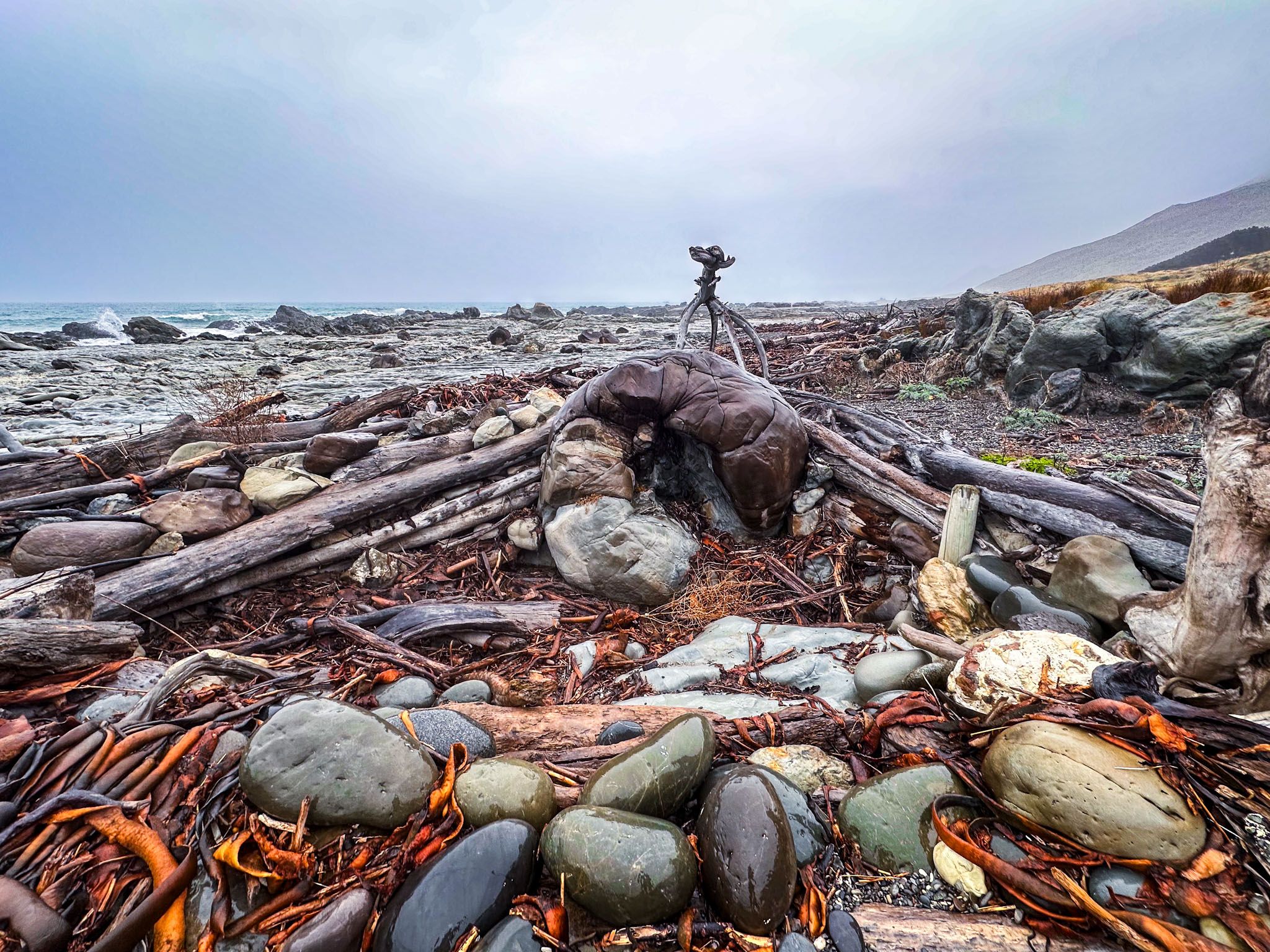
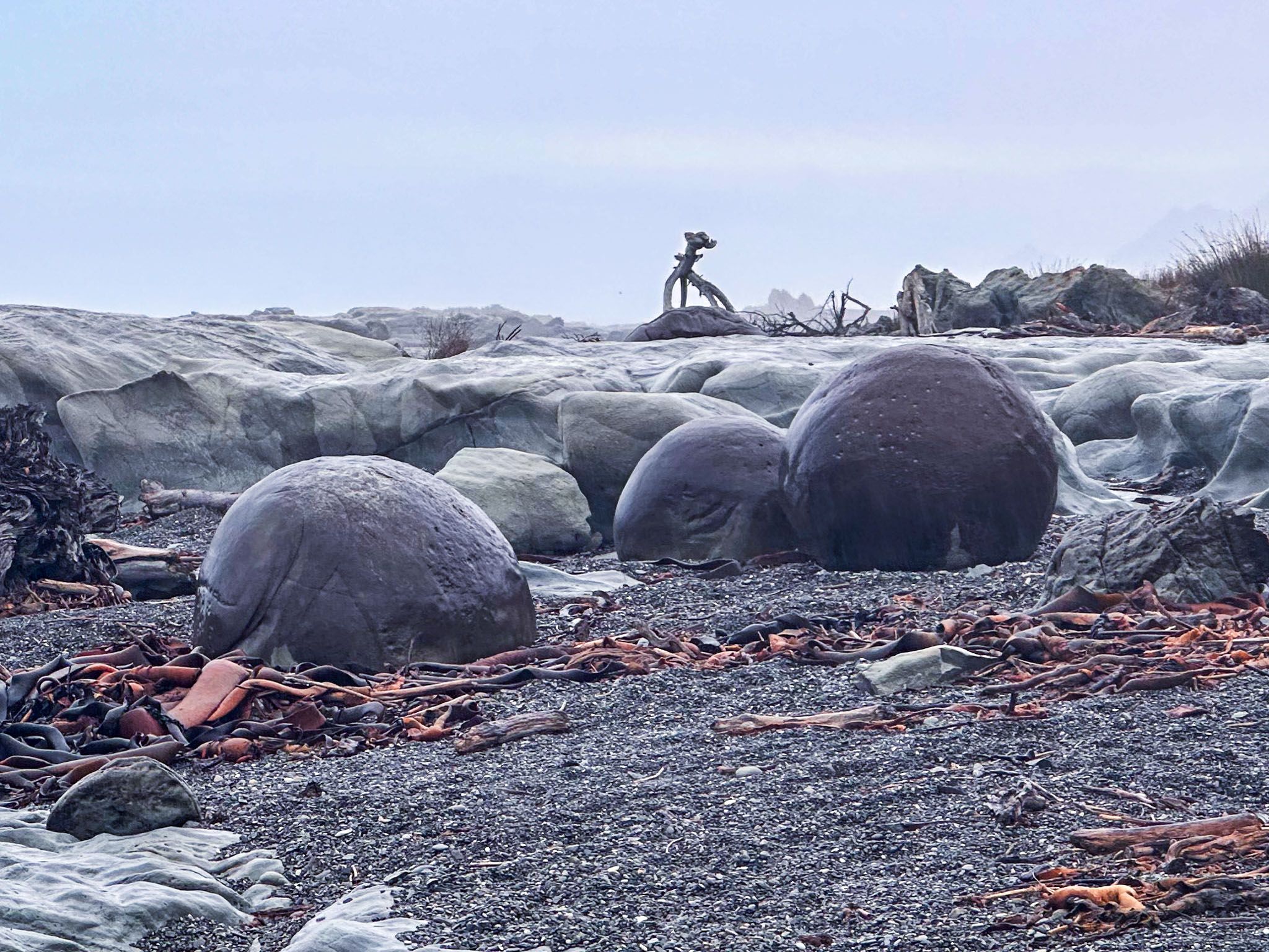
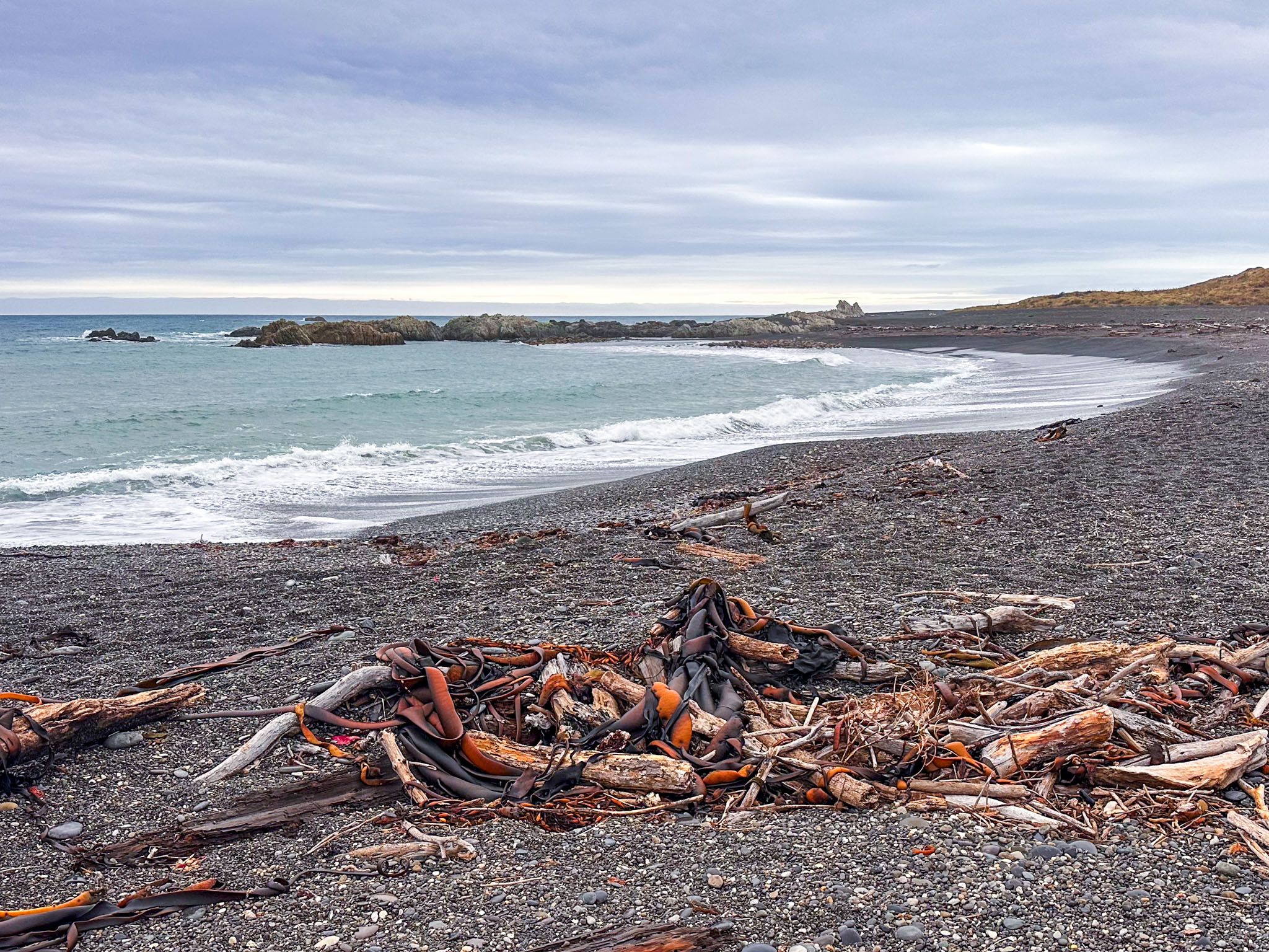
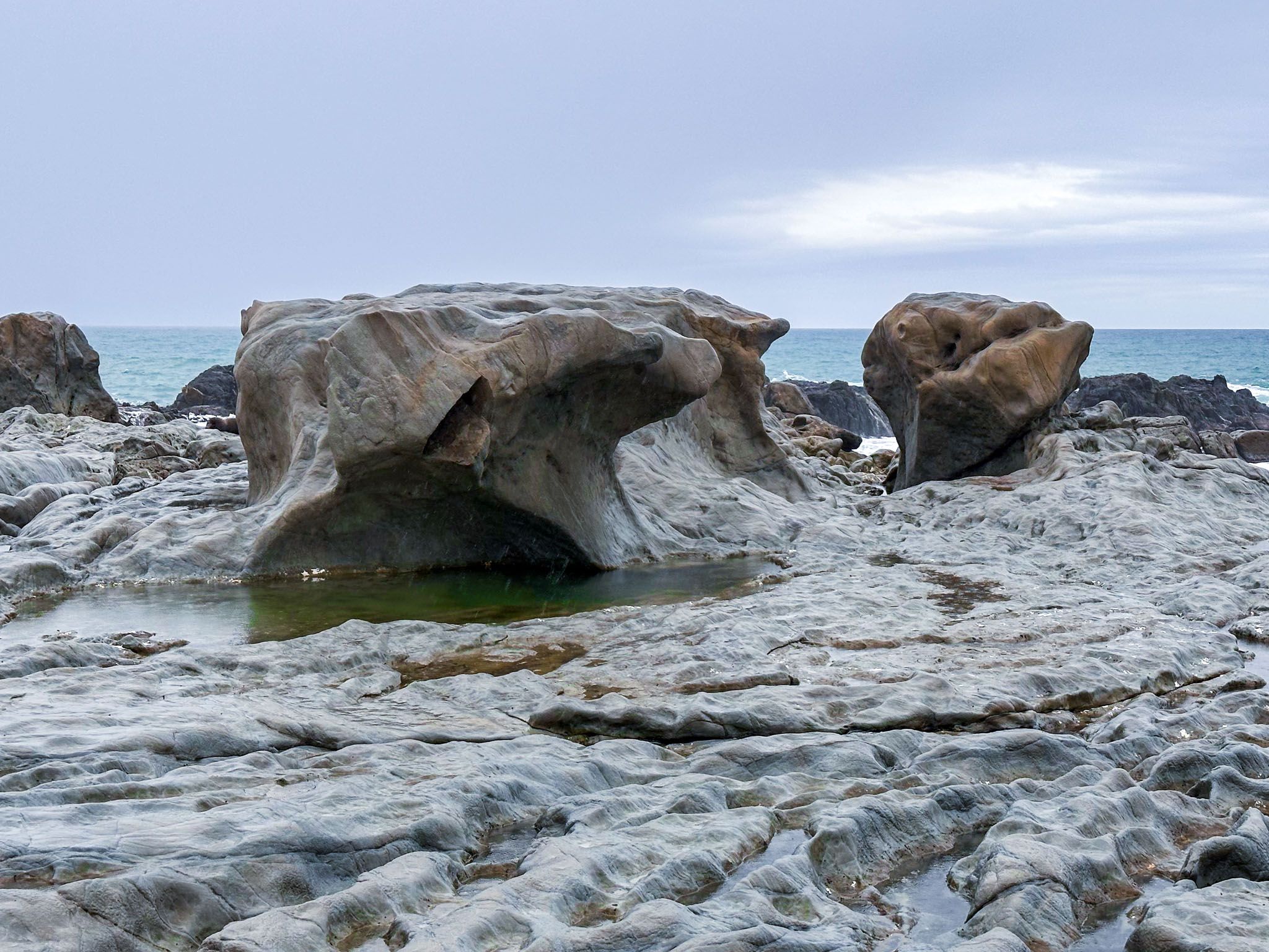
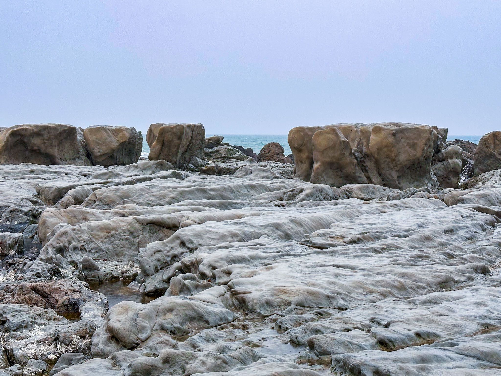
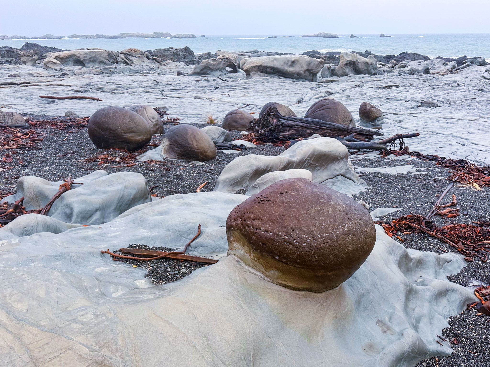
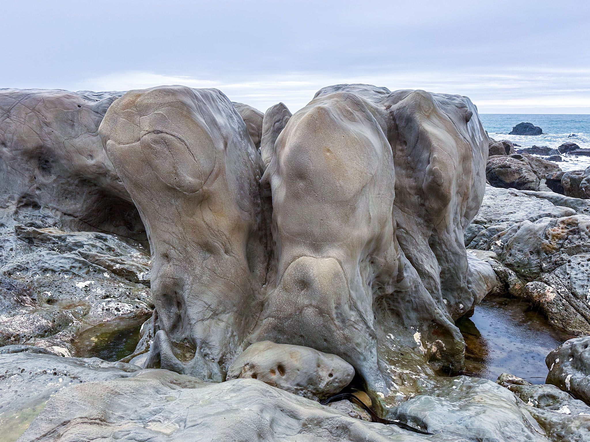
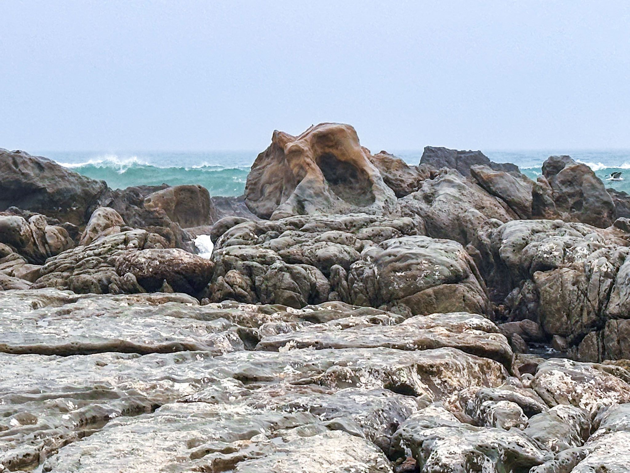
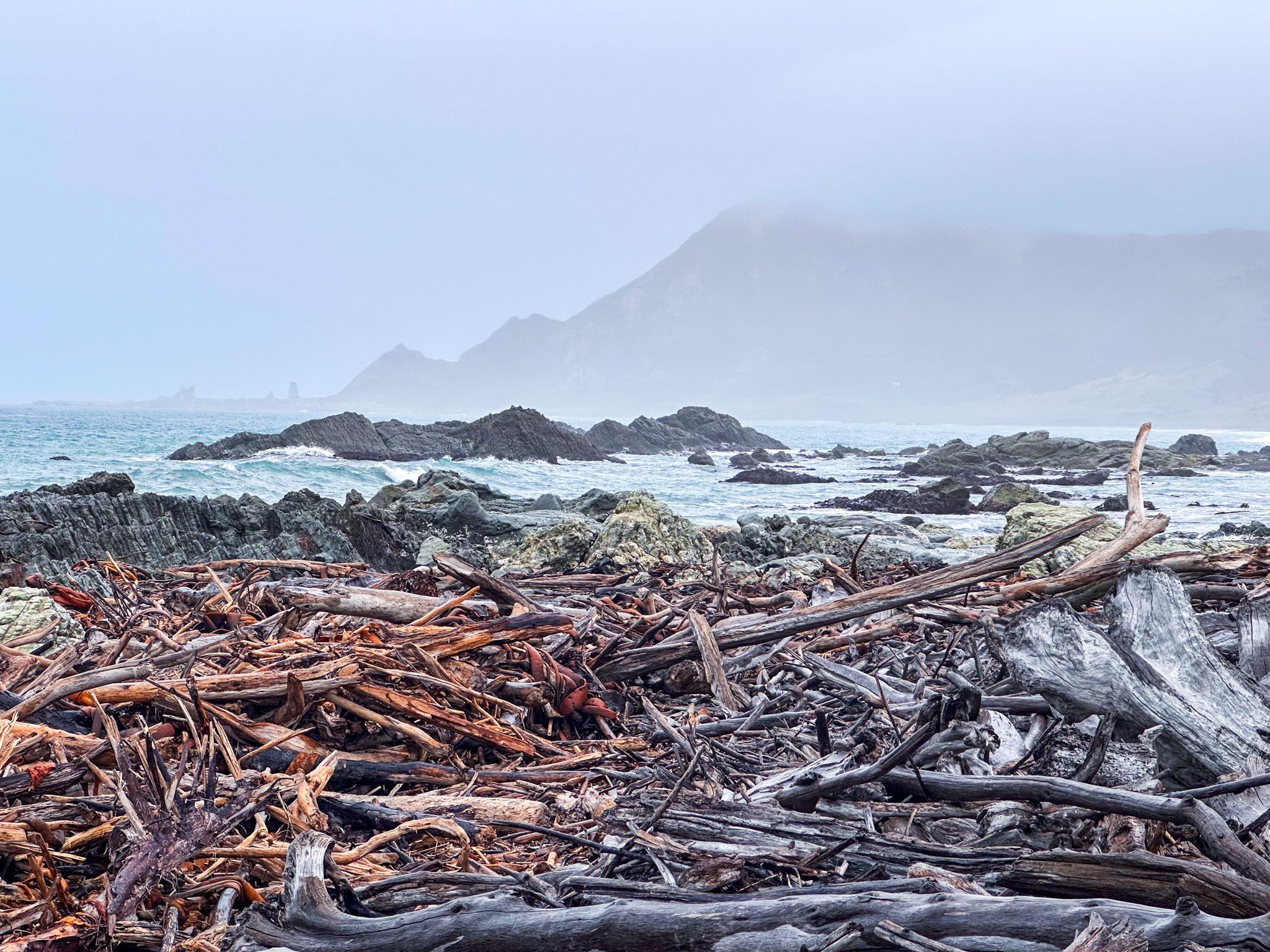
Ward Beach became much more interesting after the 2016 Kaikōura earthquake, which caused an uplift of around 2.2–3 metres. This event exposed wave-cut reef platforms and extended mudstone layers, resulting in a large rocky platform with some stunning carved rock formations at the north end of the beach. The “Ward Boulders” were also uncovered. These round rock concretions are similar to the Moeraki, Whitecliffs and Koutu boulders. The boulders are about 800 metres north of the car park. They are rare geological highlights, formed in the mudstone cliffs above the beach millions of years ago, dumped into the sea by erosion, then uncovered by the earthquake. Large piles of uplifted kelp are also still mounded around the platform.
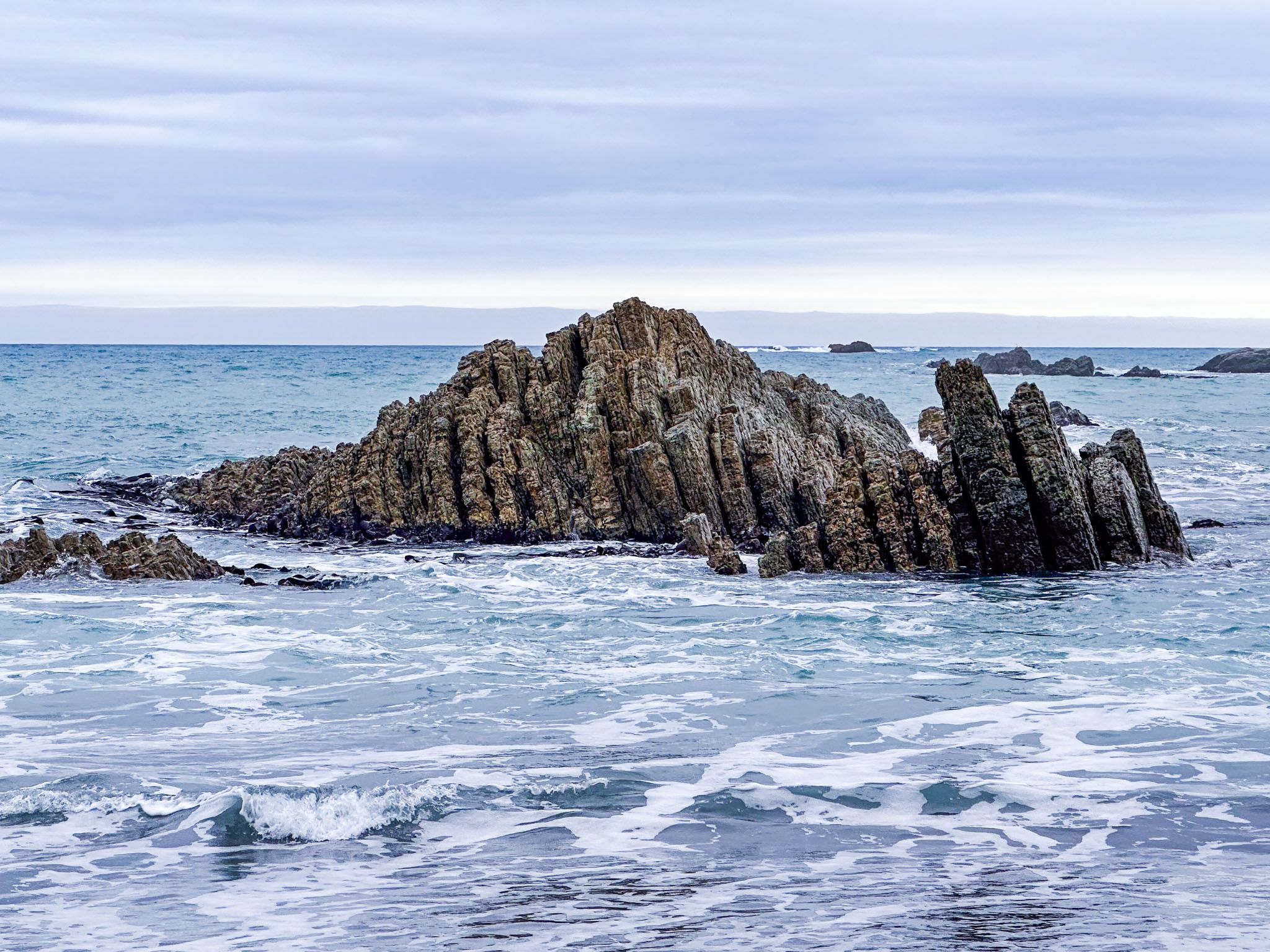
Another 700 metres north, across a second beach with no name, are the Chancet Rocks, a coastal limestone formation protected as a scientific reserve. It’s one of the best on-land sites in the Southern Hemisphere for observing the Cretaceous‑Paleogene boundary, complete with fossil traces and rock layers dating from the mass‑extinction era 66 million years ago. Access beyond Ward Beach toward Chancet is restricted to foot traffic to preserve the site.
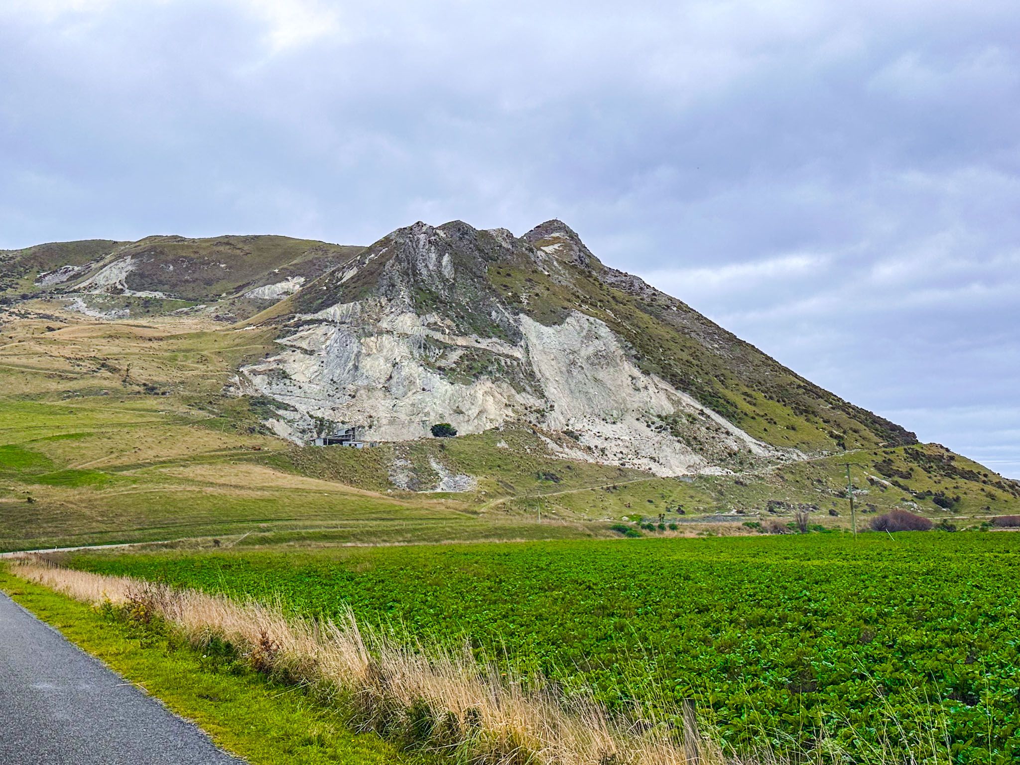
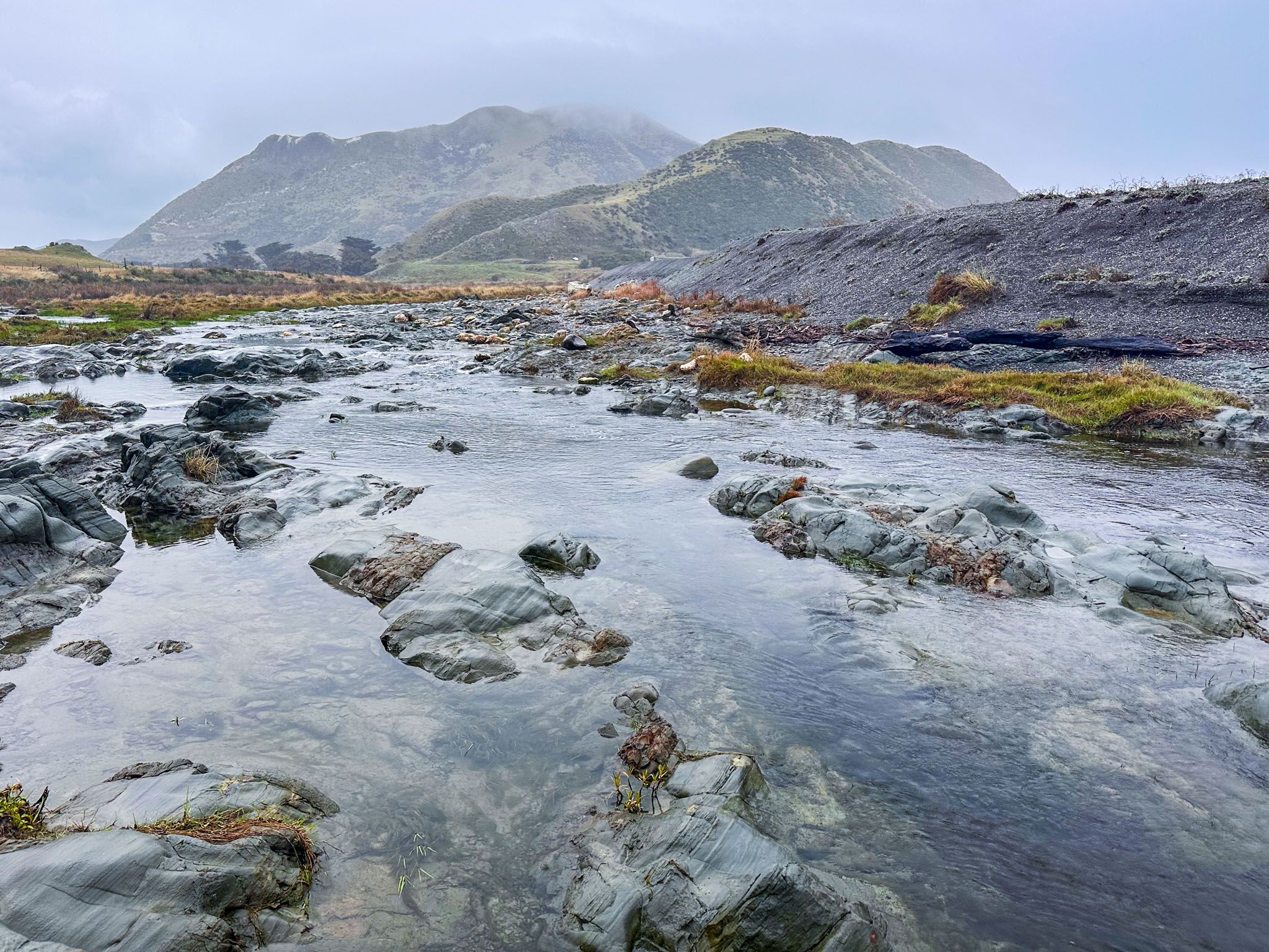
At the southern end of the beach, the Flaxbourne River meets the ocean. The earthquake altered its course, forcing it to cut through high gravel deposits and revealing more limestone rock formations. There is a modest lagoon at the river mouth, below one of these rock formations, and it is generally easy to cross the river. From there, you can explore more exposed rock formations and wander into Te Tai-o-Marakura, a protected marine area associated with Ngāti Tahu that extends to Kaikōura. There is a longer pebble beach, which sits below the 369-metre Weld Cone. The river mouth lagoon is also a lovely spot for a dip in summer.
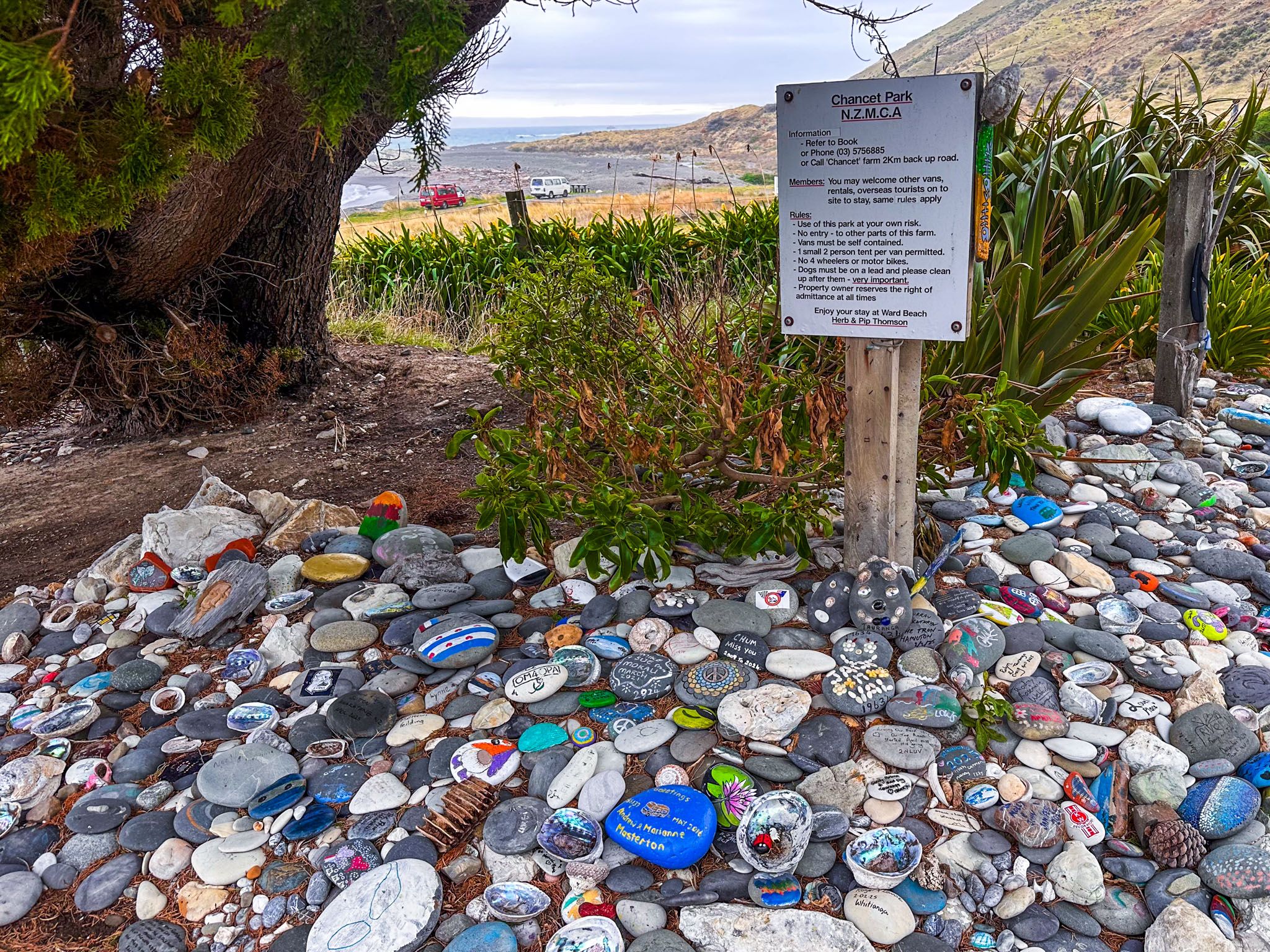
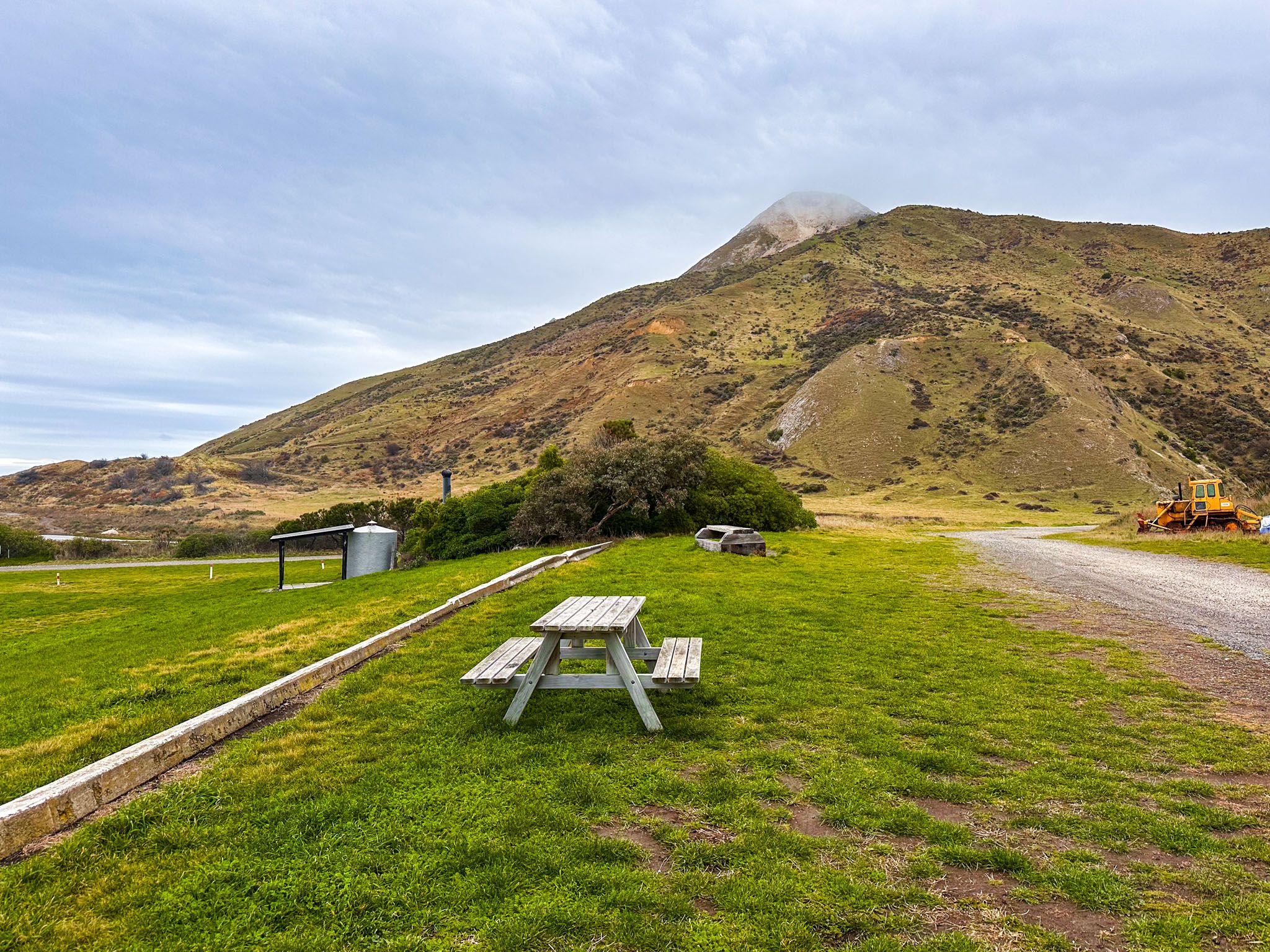
Above the beach is a grassy picnic reserve with parking and a public toilet. For self-contained camper vans, there is camping just beyond the reserve. Drive through a gate marked by a display created by other happy campers (we presume) onto private farmland adjoining the reserve. A small donation to the landowner is appreciated. This informal camping spot is a superb, remote location.
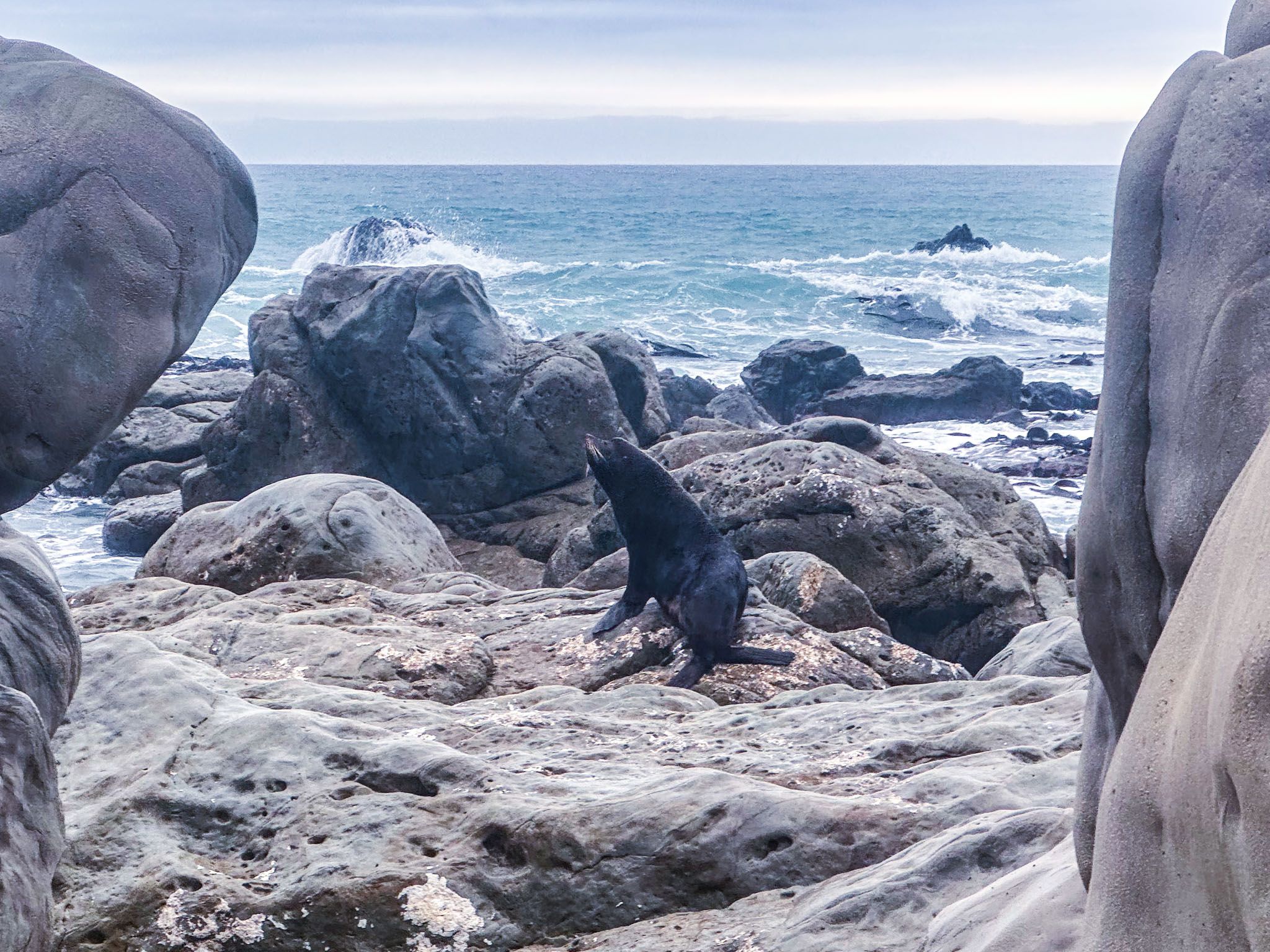
The coast also supports seals, particularly around the rocky outcrops. Remember to keep your distance if you are wandering around the rock platforms and encounter a seal.
To get to Ward Beach from Blenheim, take Ward Beach Road, turn off State Highway 1 and follow a 3.7 km stretch of scenic road across farmland (gravel towards the end) to the beach reserve. If you are coming from the north, the turnoff is 3 km north of the small township of Ward. If you are coming from Kaikōura, take Seddon Street from the town to connect with Ward Beach Road.
