North Shore Coastal Walk
The North Shore Coastal Walk covers 23 km from Devonport to Long Bay, on the North Shore’s east coast of Auckland. The walk is part of Te Araroa, which runs down the entire length of New Zealand and mostly traces the edge of the coast.
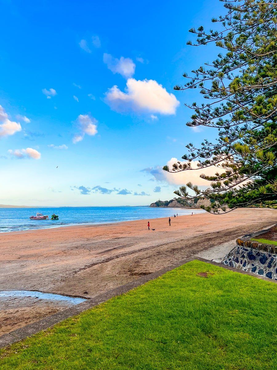
It includes several Auckland City beaches and cliffs. Some sections below the cliffs can be flooded at high tide, but there are always nearby road options. Check the tides before you start. There are plenty of places to stop along the way, and all the beaches are safe for swimming. Choosing a section of the track for a shorter walk is also easy. Allow a full day if you want to attempt it in one go.
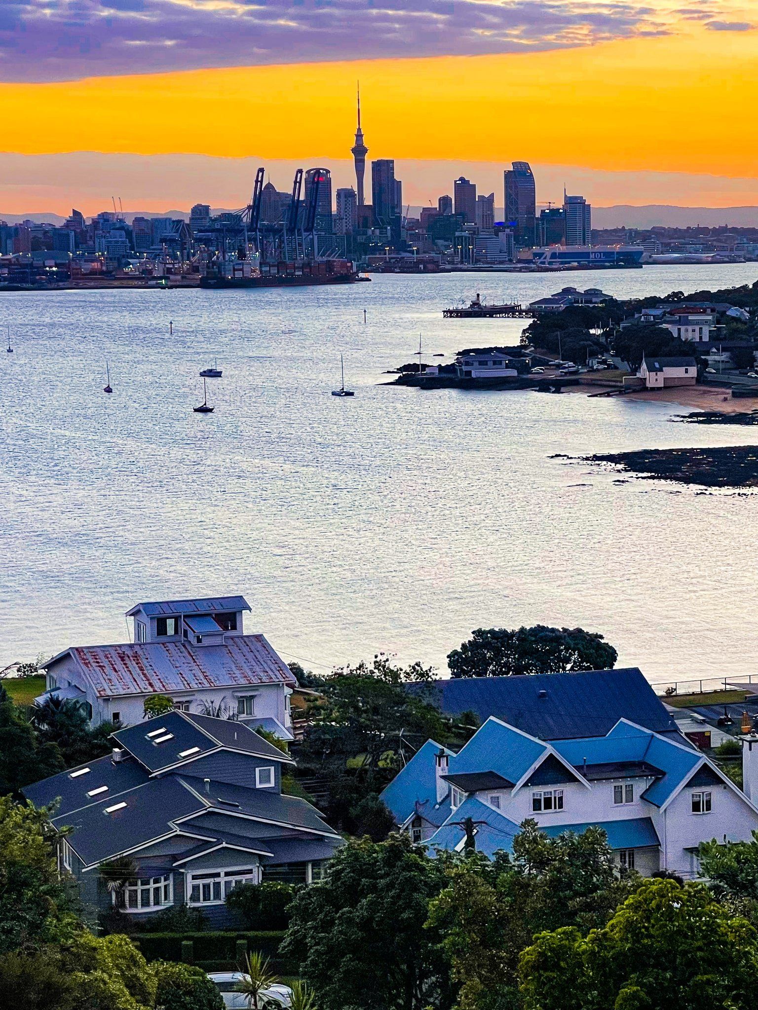
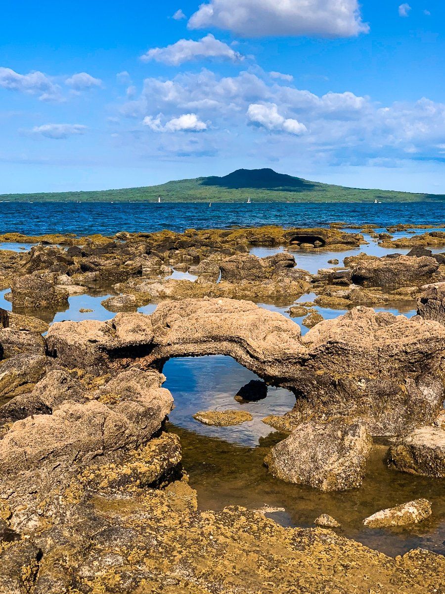
To start the walk, heading north, catch the ferry from downtown Auckland to the pretty village of Devonport. Follow the coast east to historic Maungauika North Head. Walk from there down to Cheltenham Beach and follow the stony coast west below the cliffs to Fort Takapuna and Narrow Neck Beach. Follow the rocky cliff line to St Leonards Beach. Then continue to Takapuna Beach below some of the most colourful cliffs in the city. Find a cafe in Takapuna for a break!
The next section from Takapuna Beach to Milford Beach and Wairau Creek is a bit more rugged. It starts with an ancient fossilised kauri forest at Fossil Point, then some narrow rocky sections to the very pretty Thorne Bay, only accessible on the walkway. At the end of the section, there are three more popular city beaches with a lovely park and the Waiau Marina at Milford.
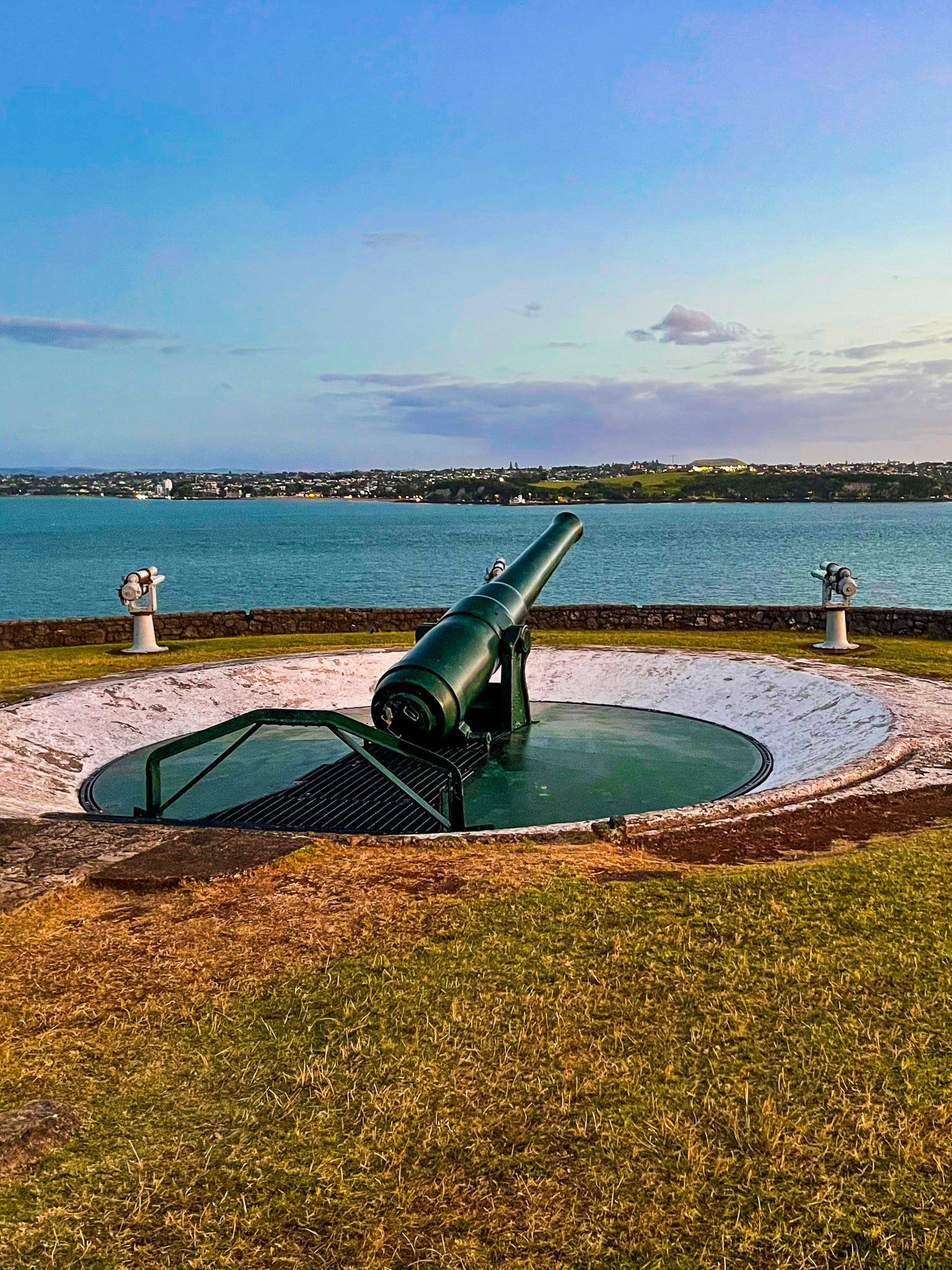
From Waiau Creek, follow the coast to Castor Bay, or take the footbridge and road if the tide is in, flooding the creek. From Castor Bay, follow the track from the north end of the beach to the top of Rahopara Point. This section includes a historic pā site and a spectacular viewpoint above Rahopara Point, followed by a cliff-top walk into Kennedy Park. There’s a memorial to John F. Kennedy in the park and historical gun emplacements.
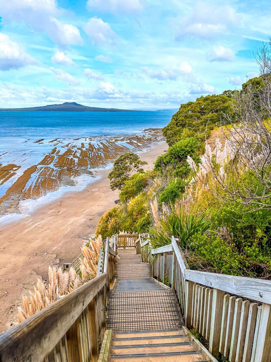
But the steep set of stairs down the side of the cliff to the rocky beach and reef below are the real attraction and a highlight of the walk. From the bottom of the steps, walk below the stunning cliffs to Red Bluff, then to the beach at Campbells Bay. Two further city beaches at Mairangi Bay and Murrays Bay are easy walks on well-formed paths below the cliffs.
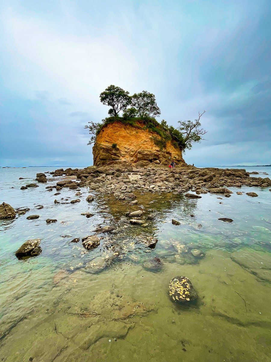
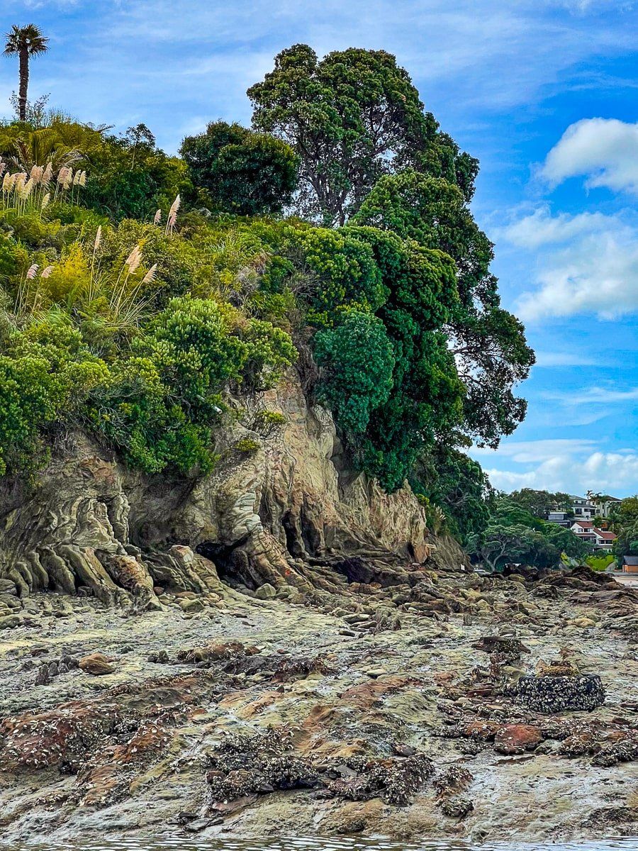
From Murrays Bay, walk to Winstone Cove, taking in Rothesay Bay, Browns Bay and Torbay Waiake Beach. Coastal cliffs separate each bay, but you can walk around the bases at low tide. There is also a clifftop path between Murrays Bay and Rothesay Bay, which has lovely viewpoints and a pleasant reserve at the northern end. The bays are suburban, popular with locals, and easy to access. The two main coastal points – Tatarata and Tipau – are worth the visit even if you’re not walking the entire coastline. Both have substantial rocky platforms and colourful eroding cliffs.
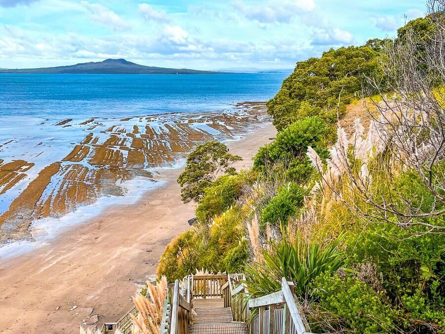
From Torbay, continue around the coast at low tide to Long Bay Regional Park. This large Auckland City park sits between Torbay and the Okura River mouth further north. The most northerly section of the walk passes through the park to the Okura estuary.
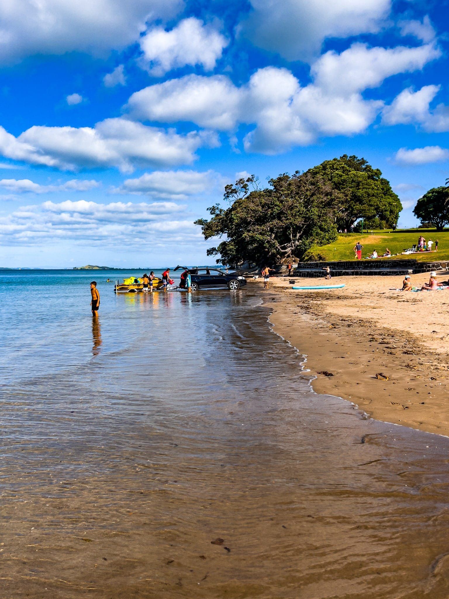
Long Bay's main feature is its beach. Behind the beach is a large area of grassed parkland, followed by a wetland between the park and the suburb of Long Bay. The park can be busy during holidays and summer weekends, but there’s normally plenty of parking for visitors.
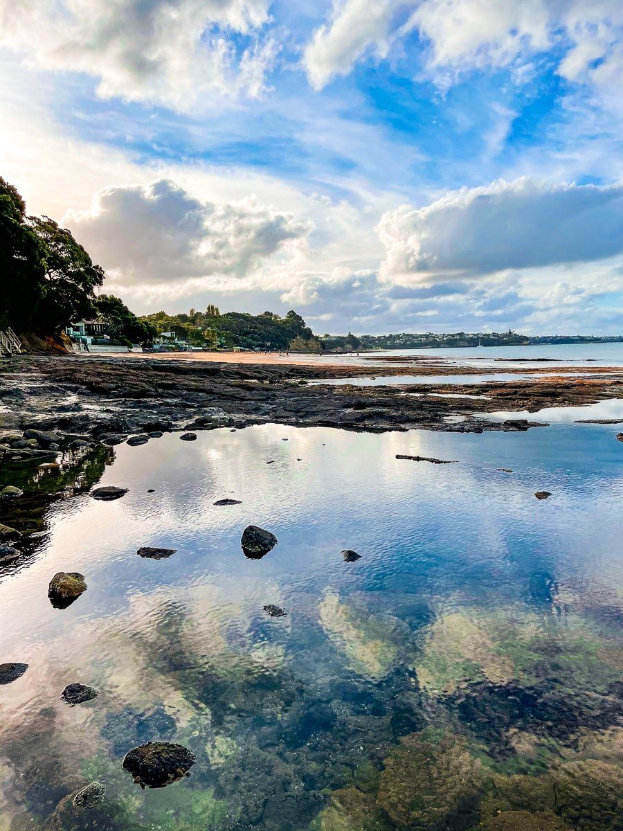
At the north end of the beach is the mouth of Vaughan Stream. From there, the shore is mostly cliff-lined with several stunning old pōhutukawa trees. Walk below the cliffs to the two smaller bays. At Pōhutukawa Bay, join the track above the cliffs for the remainder of the walk over farmland to the estuary, or walk around Piripiri Point at low tide. If you have time, check out the short nature walk near the historic Vaughn House, which has several superb mature pūriri trees.