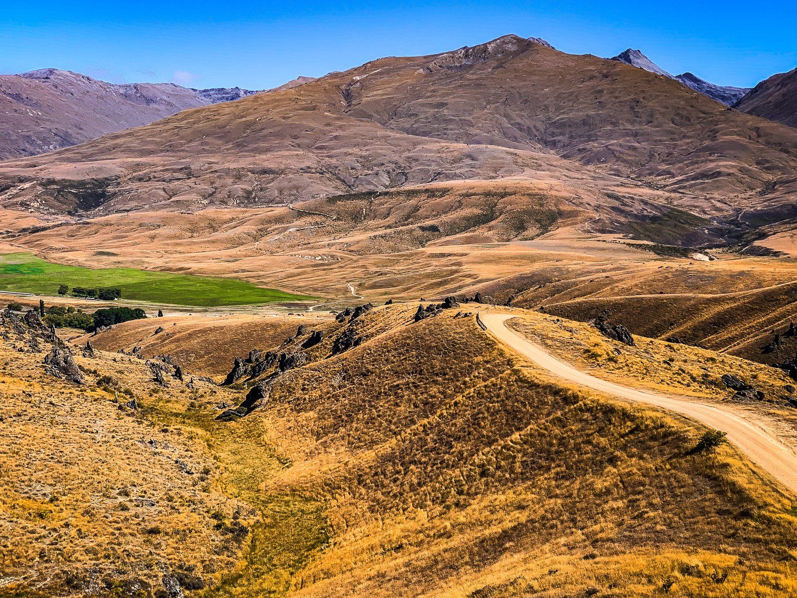
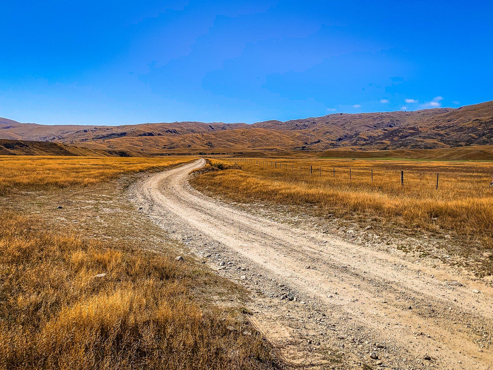
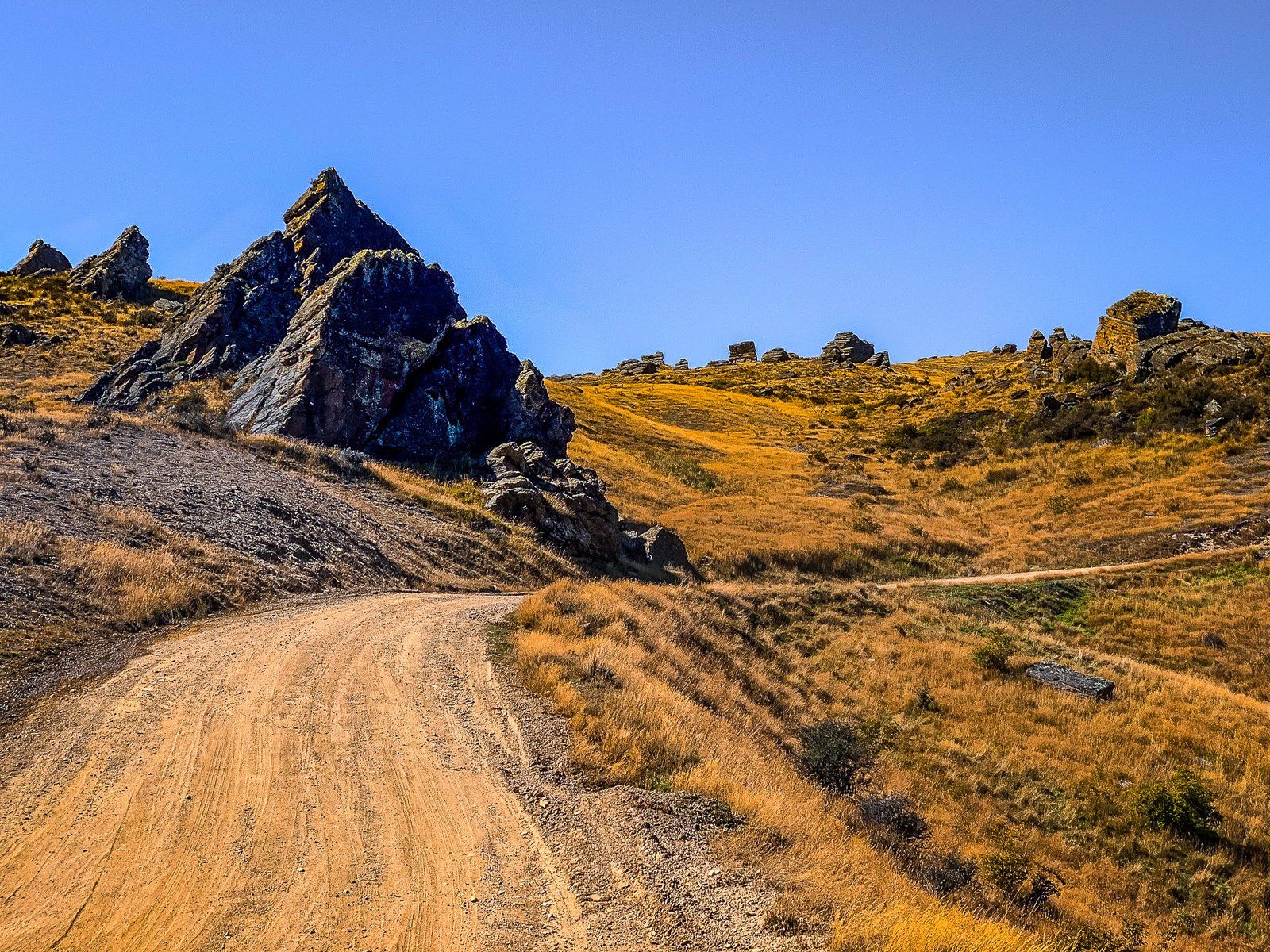
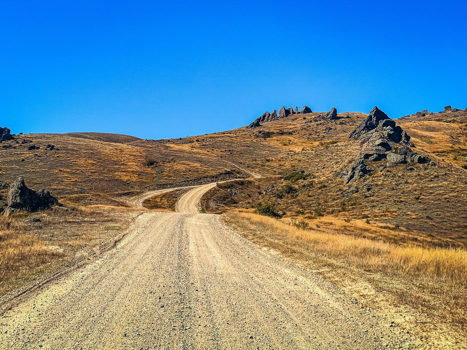
The Nevis Valley lies between the Tapuae-o-Uenuku / Hector Mountains to the west and the Garvie Mountains to the east. It is accessed on the Nevis Road from Bannockburn, over Duffers Saddle. From the saddle, the road drips over 400 metres to the west, then turns south into the valley after crossing the Nevis River at Nevis Crossing. There is an area to park by the river just before the bridge.
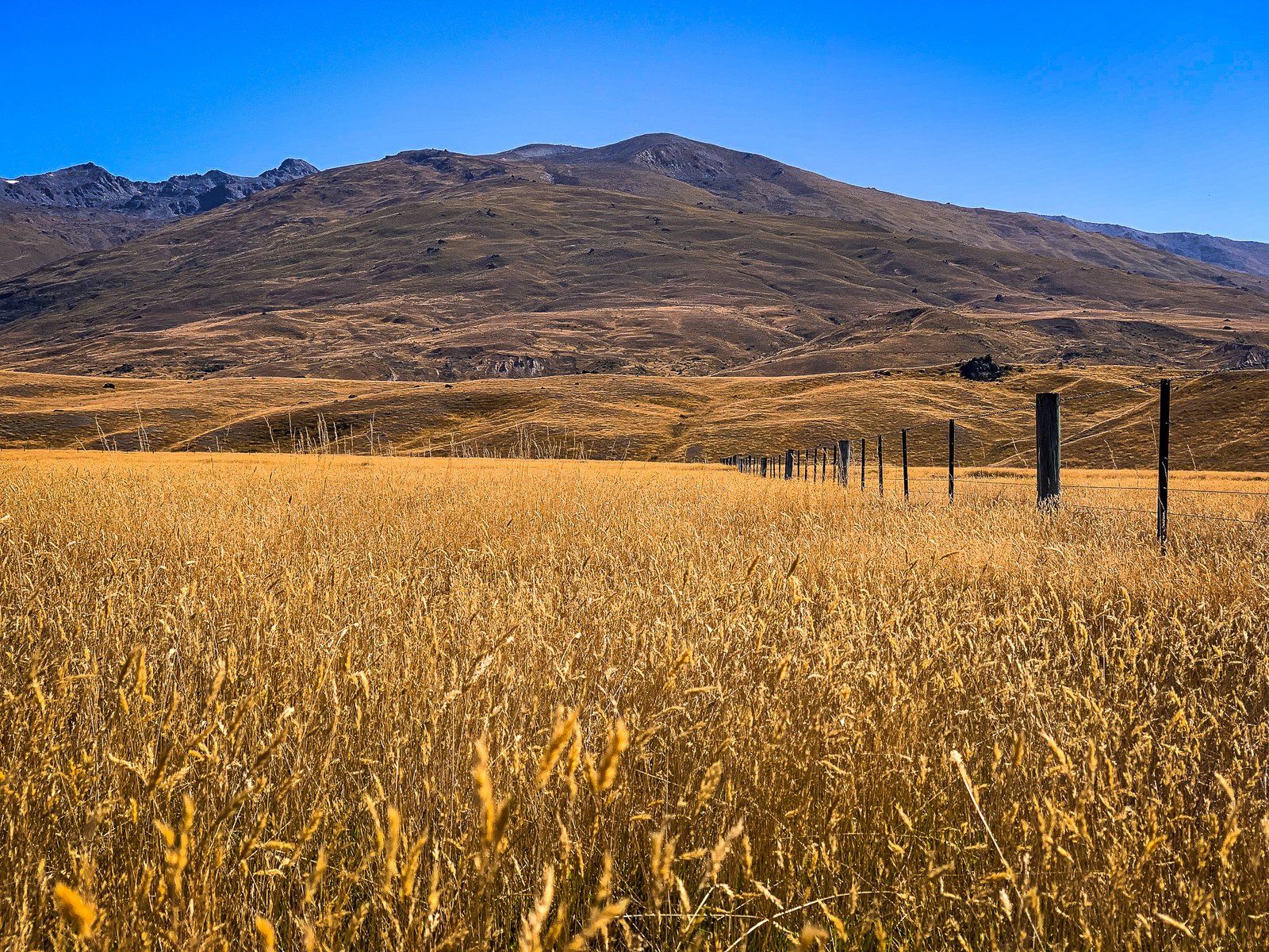
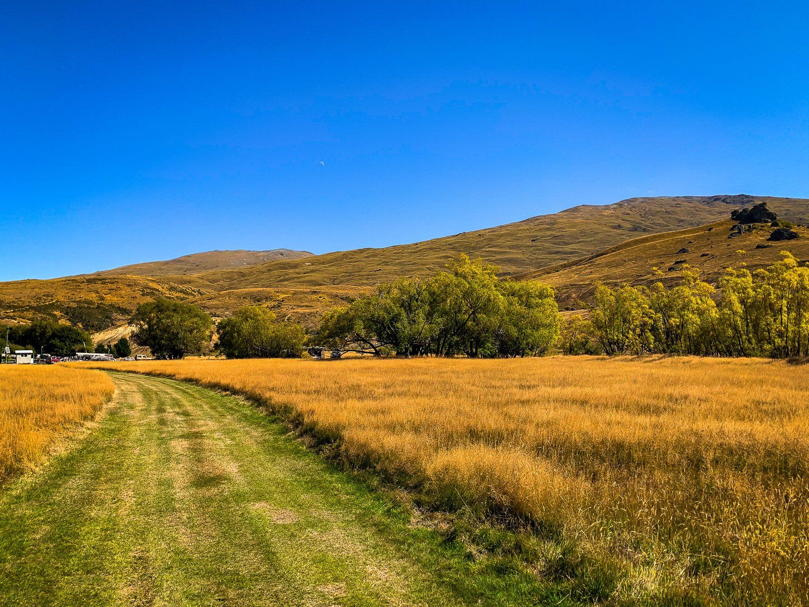
The valley is 800 metres above sea level, flat and wide, with grass and tussock-clad mountains on either side. It is also mostly dry in the absence of irrigation and tends to have amazing gold to orange colours. About two km from the Crossing, you pass Ben Nevis Station, and after seven km or so, you reach Schoolhouse Flat, where the valley widens significantly.
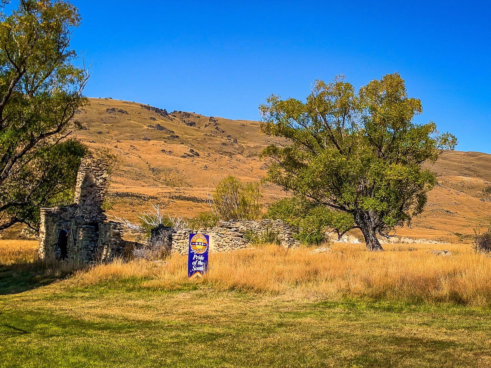
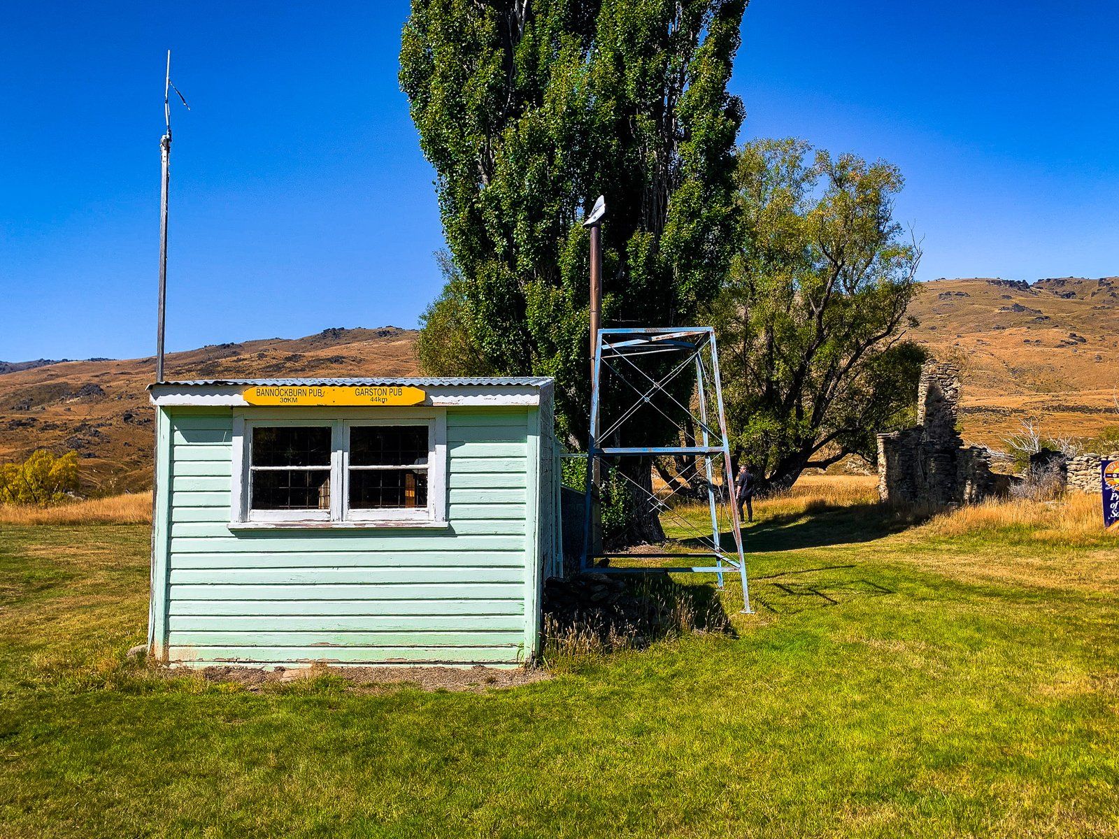
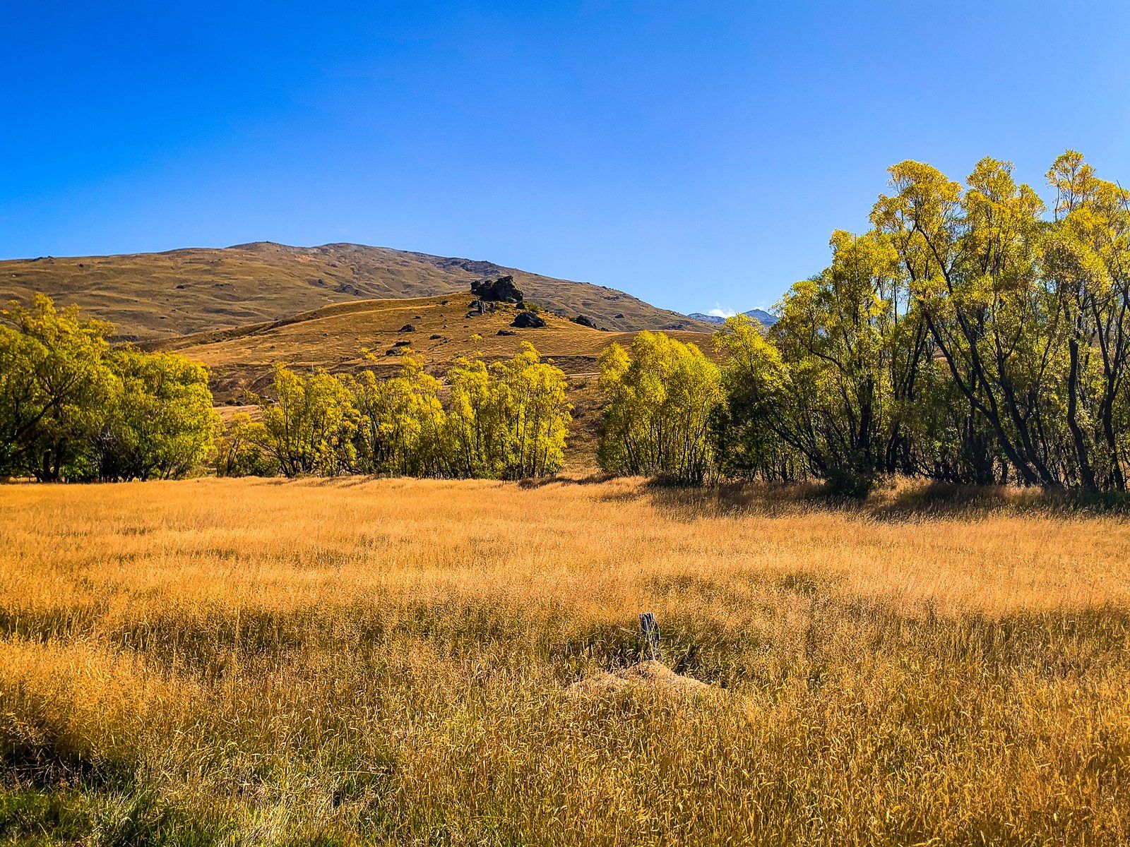
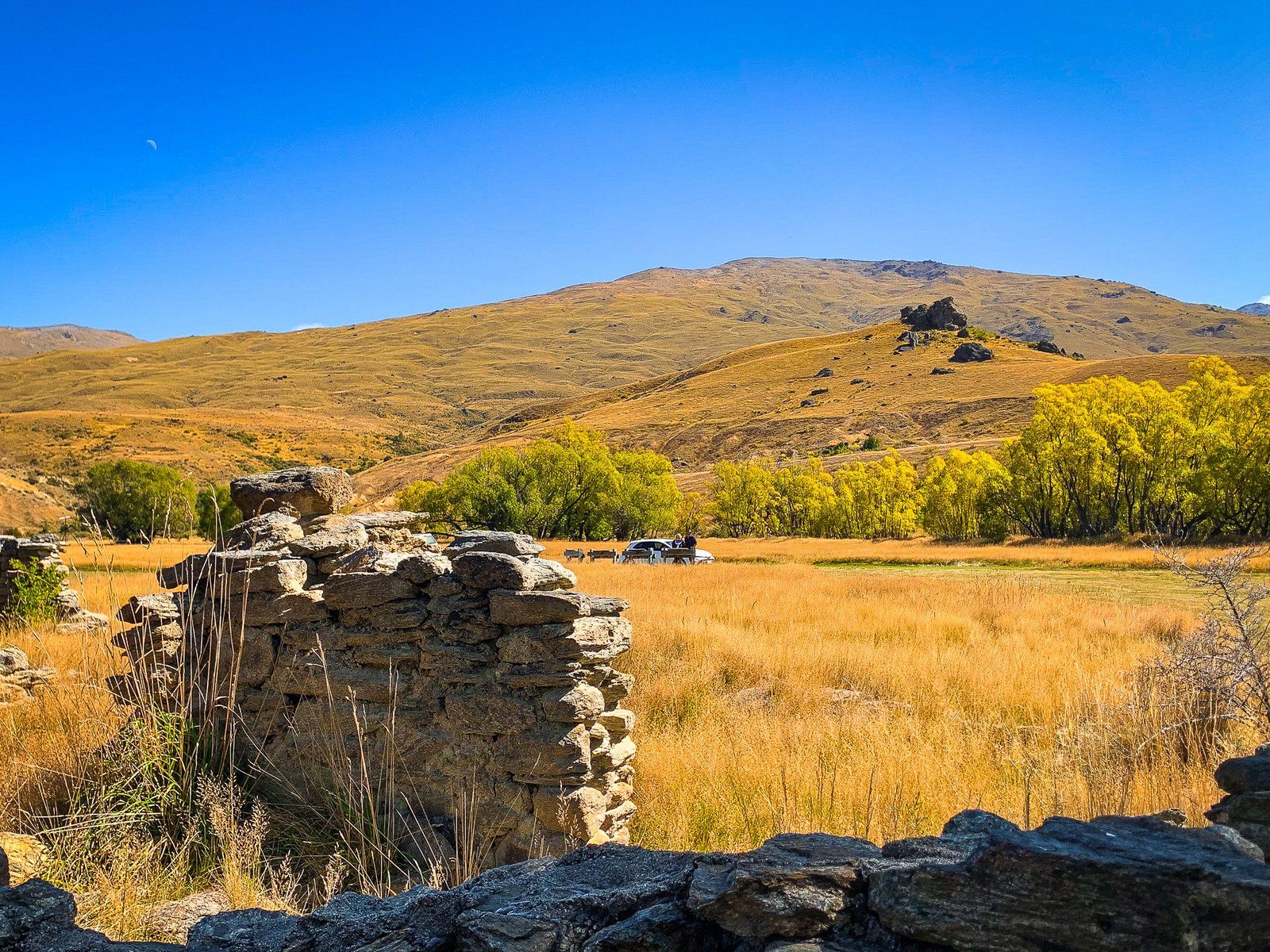
A bit further on is access to the historic cemetery on the west side of the valley, then the valley contracts at Lower Nevis. This was the centre of gold discoveries in the area in the early 1860s. There are several ruins from the Nevis mining village near the road, plus a collection of modern buildings that are part of Ben Nevis Station. Exotic trees planted by farmers and miners in an otherwise dry, golden, treeless environment are a feature.
Just beyond Lower Nevis, the river is more accessible, with a gravel beach next to the road. Unless you have a 4WD, continuing beyond the road warning sign across Commissioners Creek into the Gorge is not advisable.
During winter, accessibility depends on snow and ice conditions on the road, especially around Duffers Saddle. However, be mindful that it is exceptionally cold in the valley, even if you can drive through.