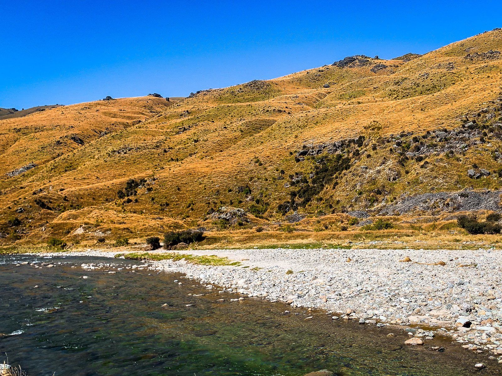
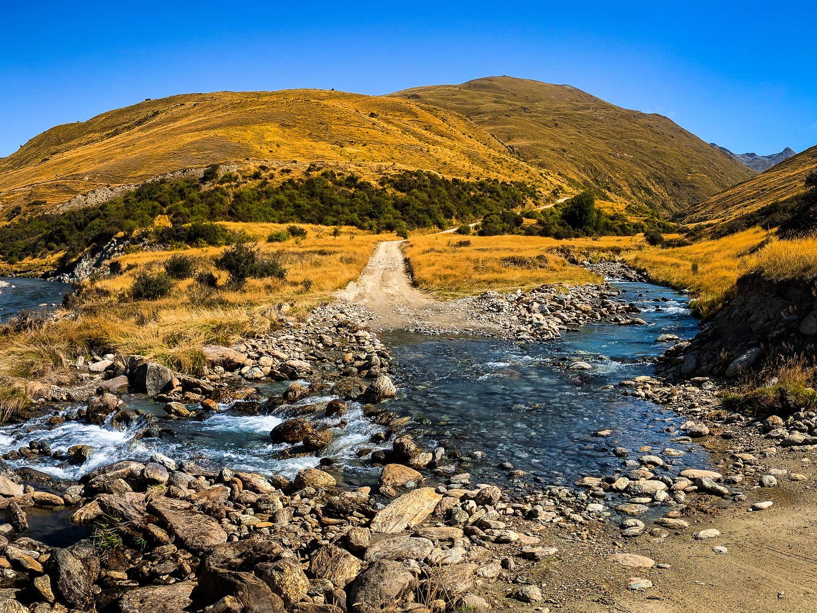
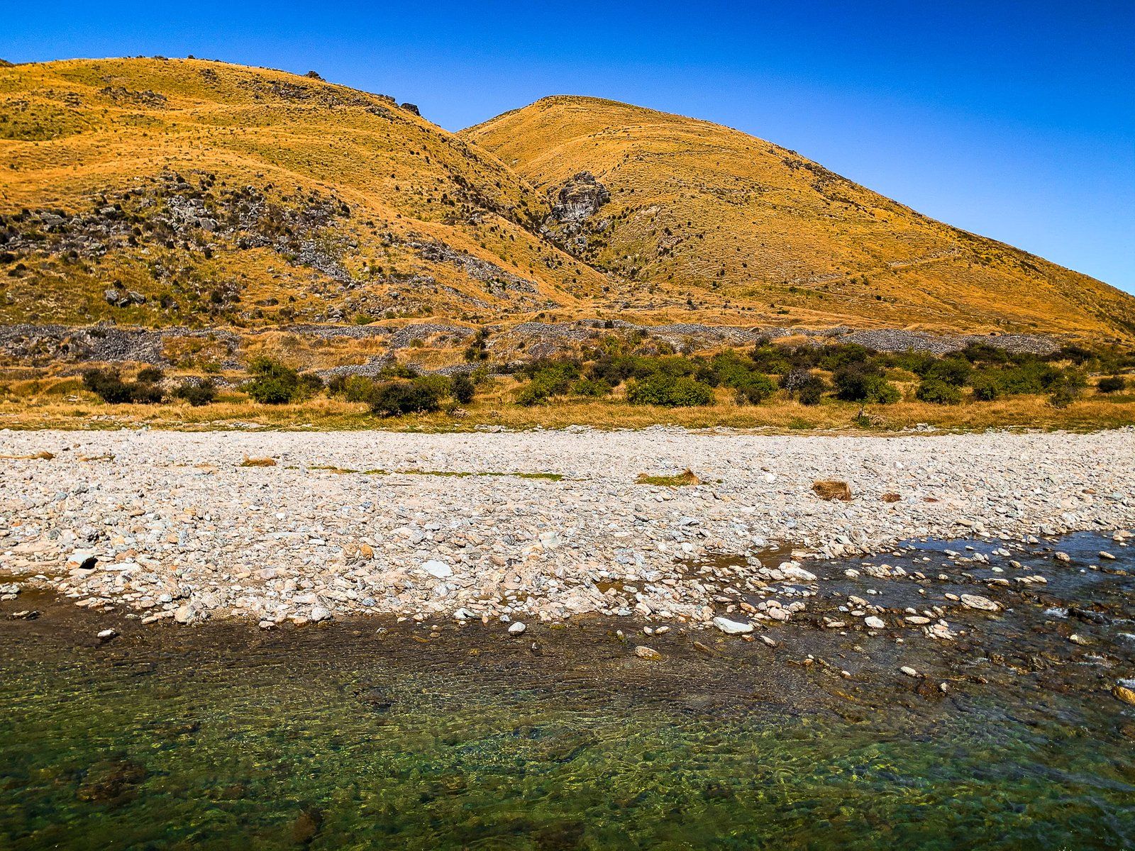
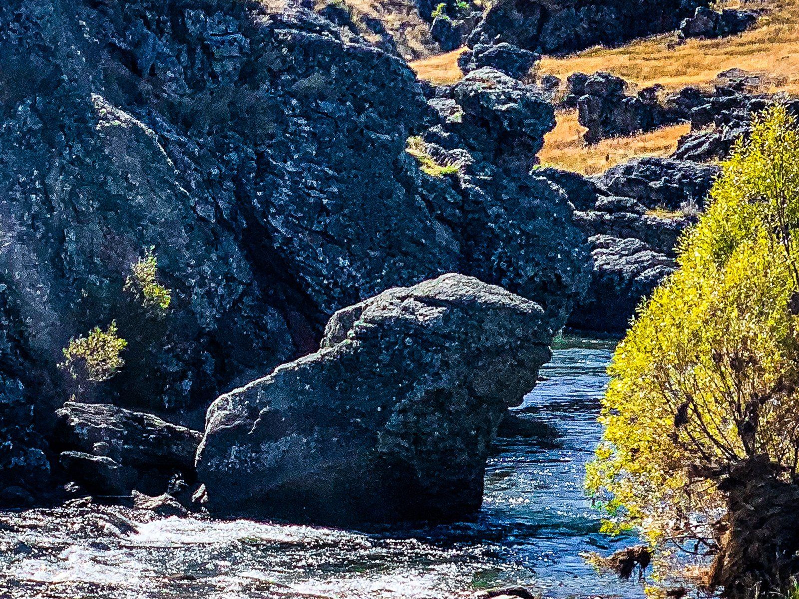
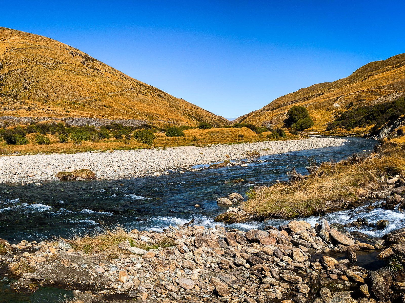
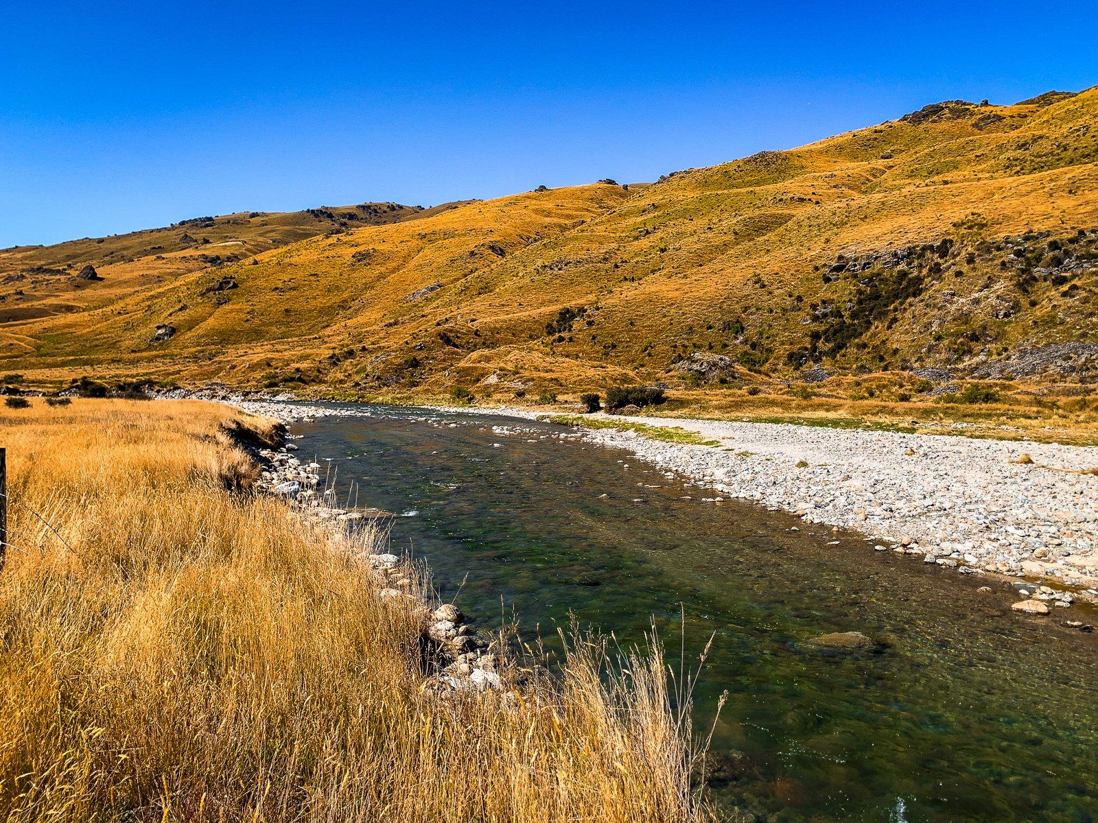
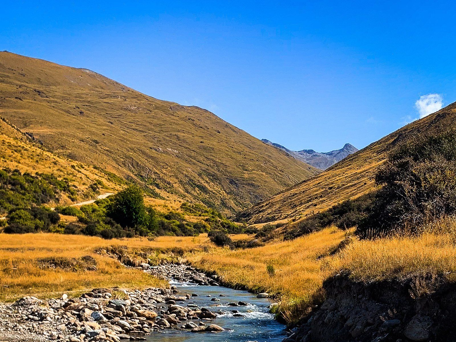
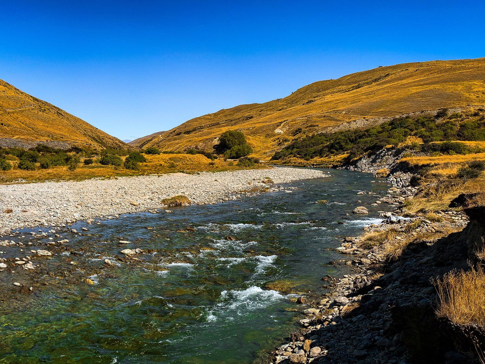
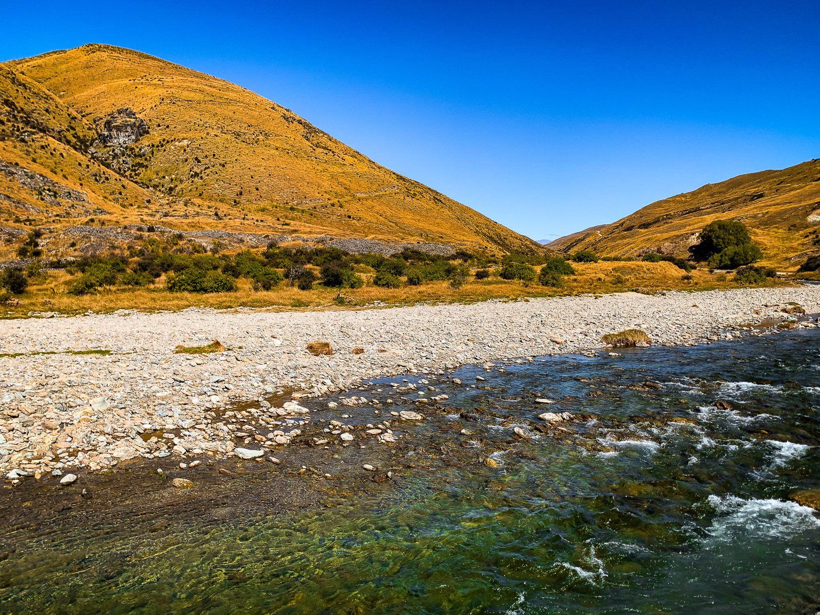
The Nevis River at the centre of the Valley of the same name is a feature of a drive through the region. It is fed by mountain springs over 35 km as it runs through the Nevis Gorge from the southern end of the Hector Mountains to the north end of Nevis Valley. At this point, it heads into another lengthy gorge between the Carrick Range and The Horn Range. It flows north into the Kawarau River, just before the Victoria Bridge. Until 2014, there was a possibility that the river would be dammed for hydroelectric production. Nothing came of this, and its natural state is now protected.
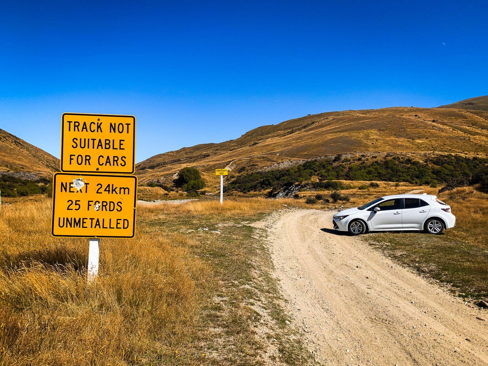
If you’re coming from the Bannockburn end of Nevis Road, the best places to access the river are at Nevis Crossing and Lower Nevis. From the Garston end, the river headwaters appear shortly after the Roaring Lion Trail northern access on Nevis Road. Although you can’t see it, there is a large alpine bog, the Nokomai Mire, over 1300 metres on the Garvie Mountains, which feeds the Roaring Lion Creek, a major tributary of the Nevis River. Getting to that point, however, entails several stream fords and a 4WD.