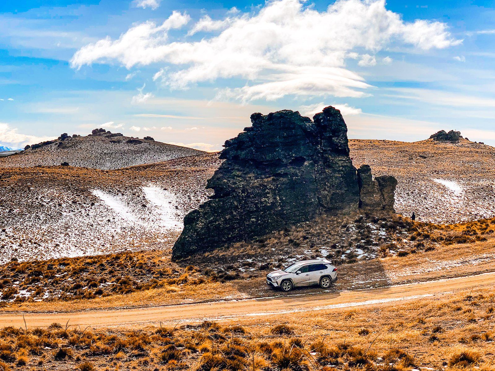
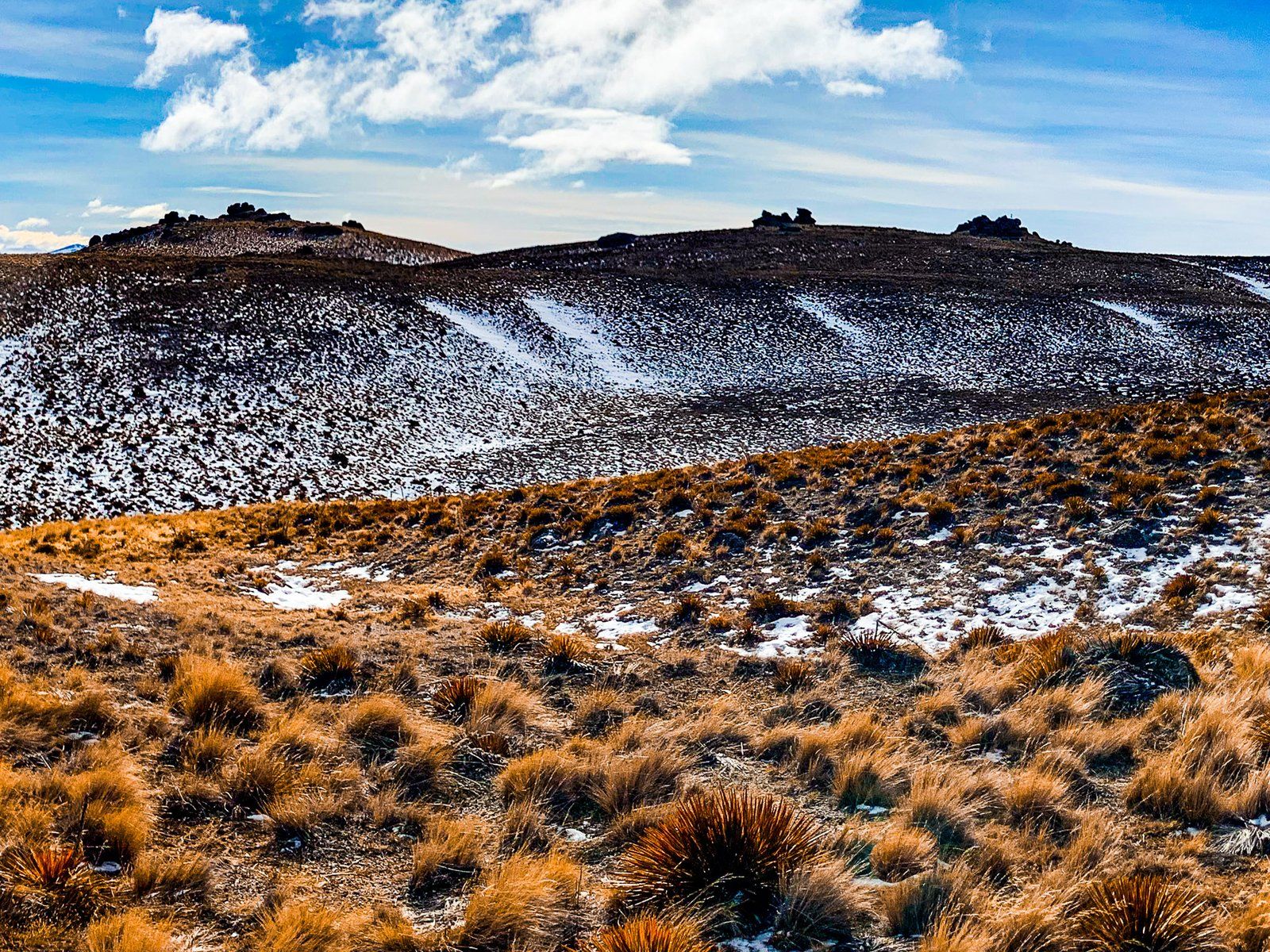
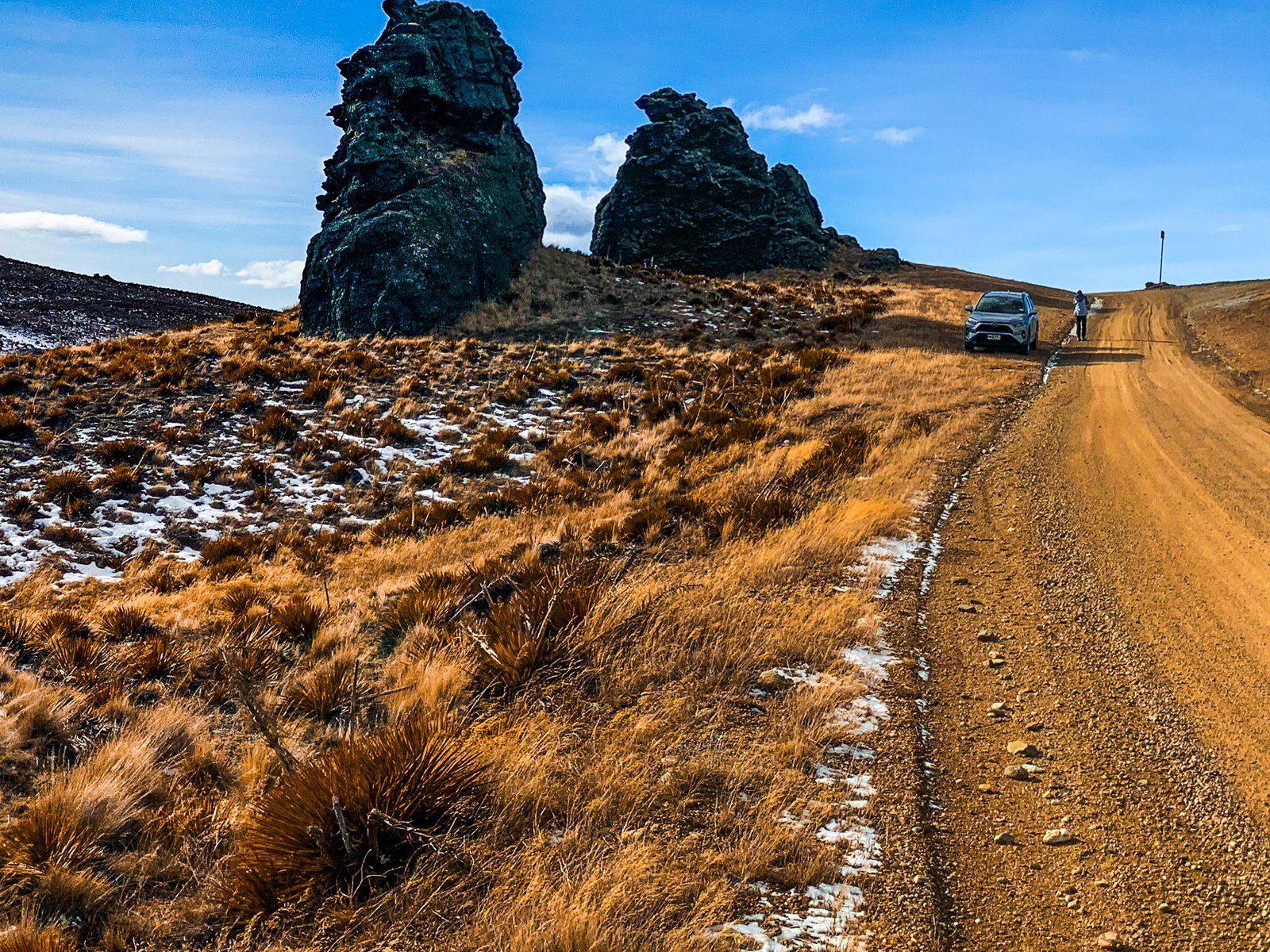
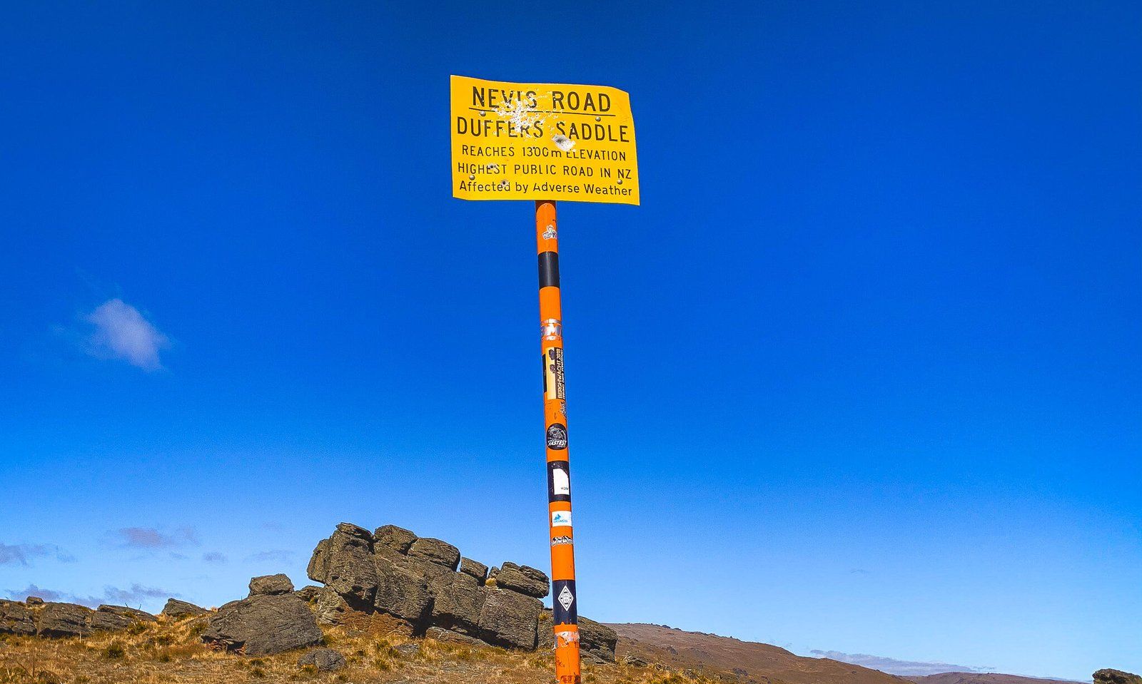
Duffers Saddle is on the Nevis Road, which connects Bannockburn to the Nevis Valley and then to Garston. At 1,275 metres, it is the highest point on a public road in NZ. The saddle sits between the Carrick Range to the north and the Old Woman Range to the south. A DOC information board is at the head of the Young Australian Historic Reserve Road (4WD and walking). About 150 metres later, opposite two spectacular large tors, you will find the signpost.
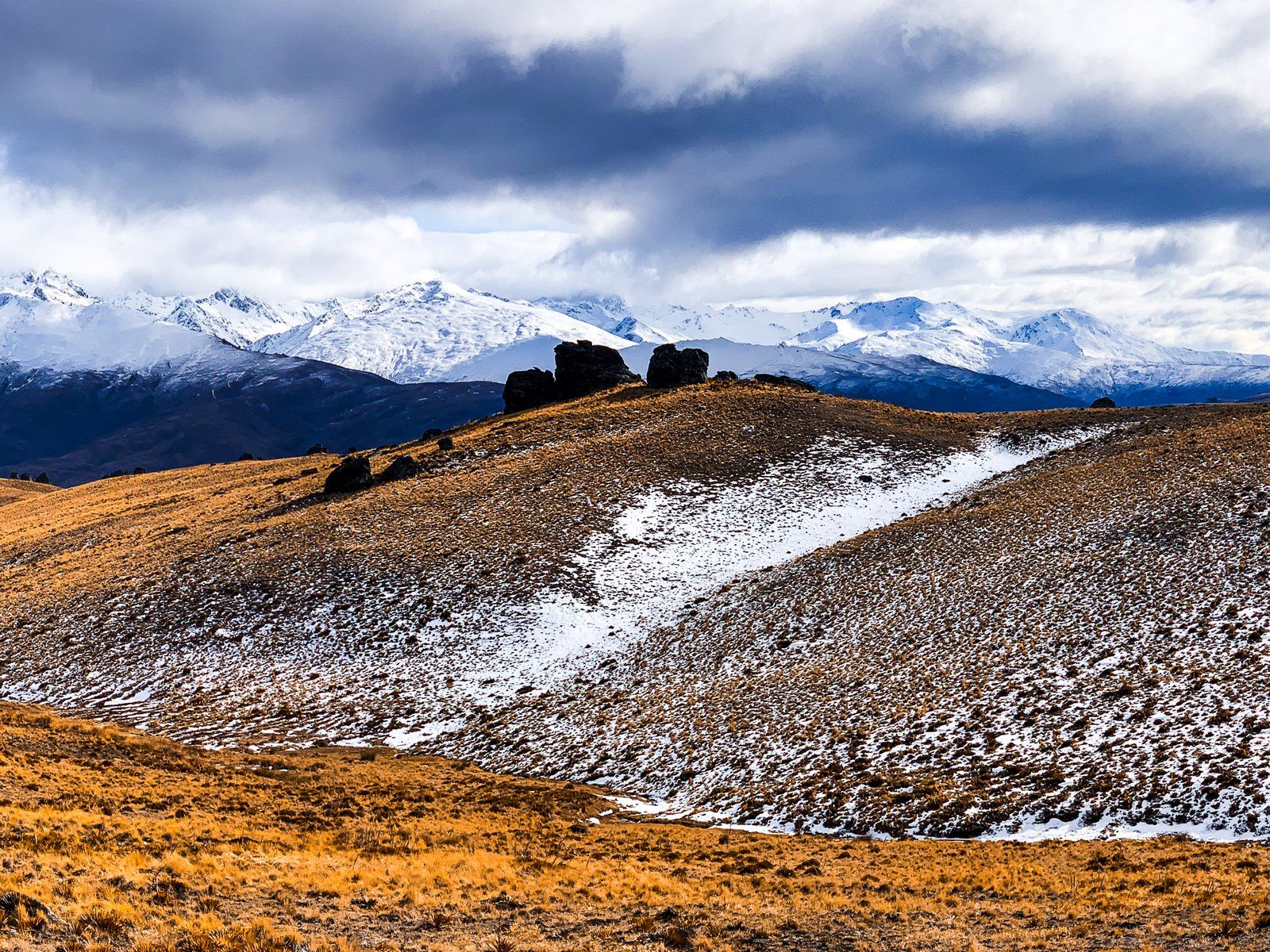
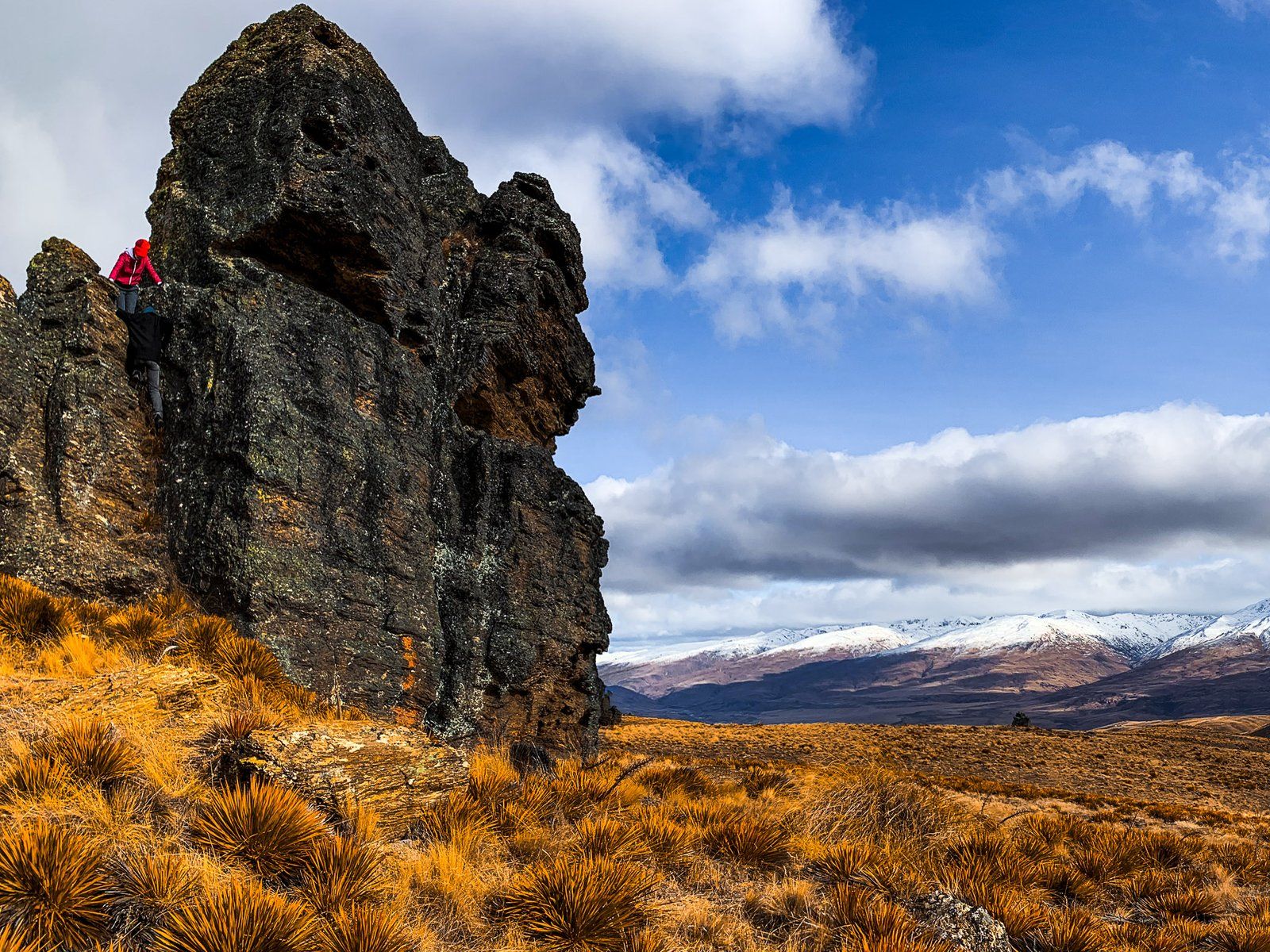
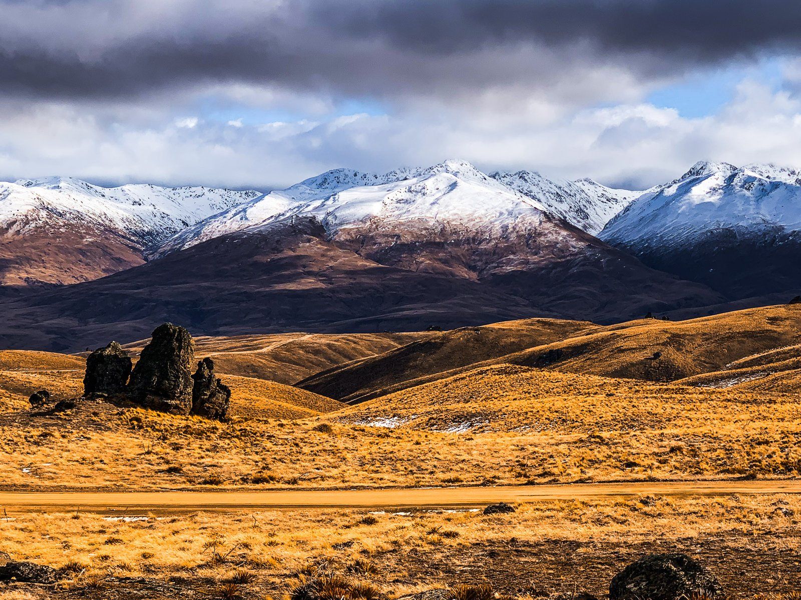
The Carrick range is relatively low and flat, and it is easy to walk to the high point at just over 1,300 metres up the Young Australian Historic Reserve Road. Follow the 4WD track north for a few hundred metres towards two large tors, the first of which is known as Watts Rock. You can continue along the Carrick Range ridge to the historic gold mining areas – the Young Australian Water Wheel Track, at four km one way. From there, you can go all the way to Bannockburn.
The Old Woman Range on the south side of the saddle is also accessible via a 4WD road to the west of the saddle. The first section of the road to the DOC Old Woman Hut at 1,430 metres is relatively easy.
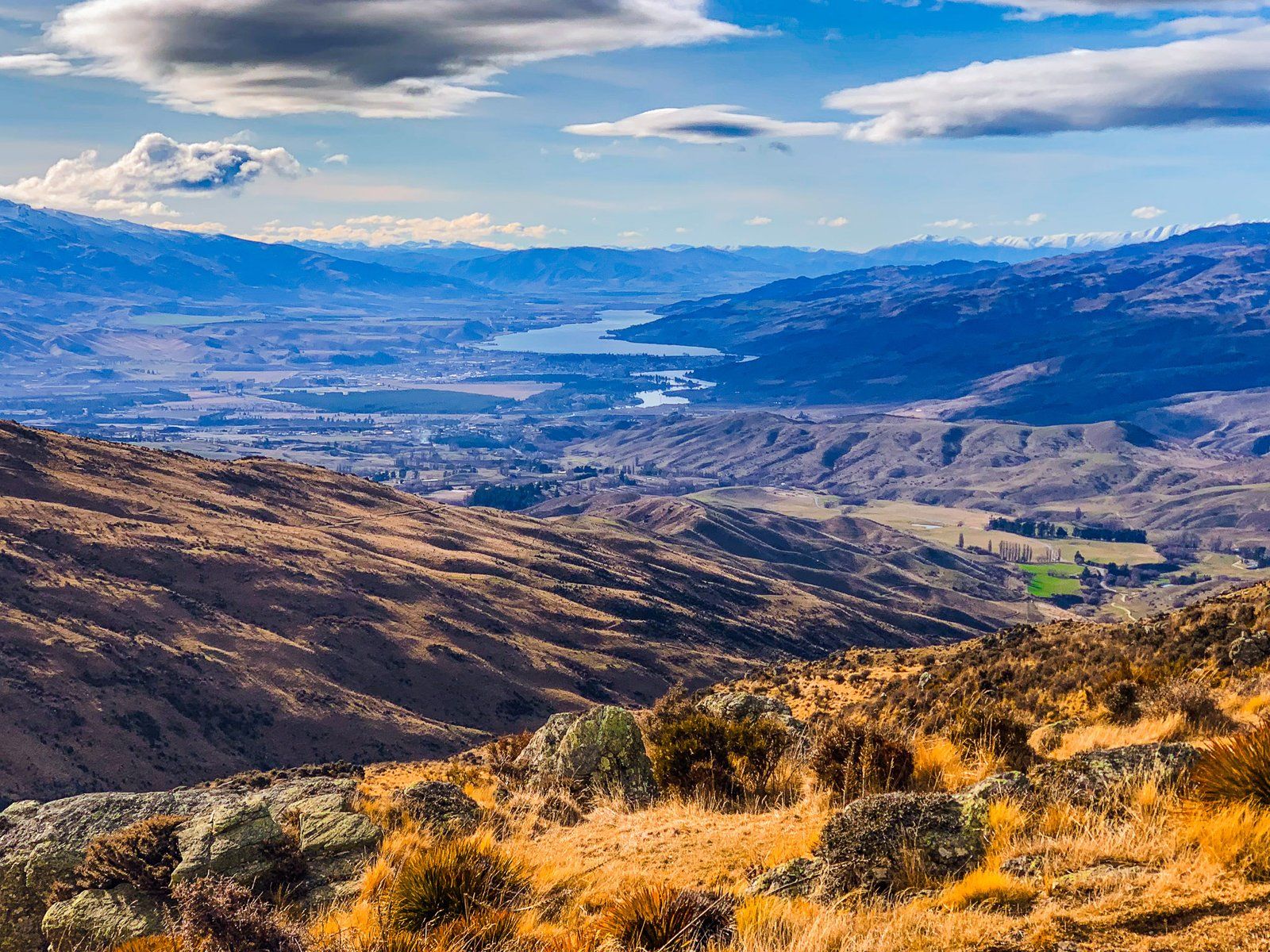
Continue west from the saddle for about three km to the start of the Upper Potters Creek Track. A short walk takes you to an excellent view of the Valley and the Hector Range to the west, with peaks up to 2,300 metres.