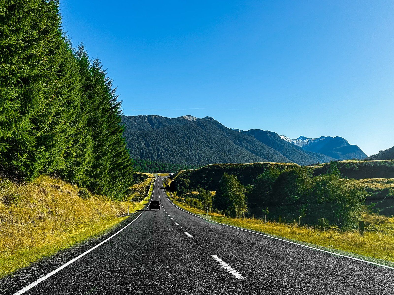
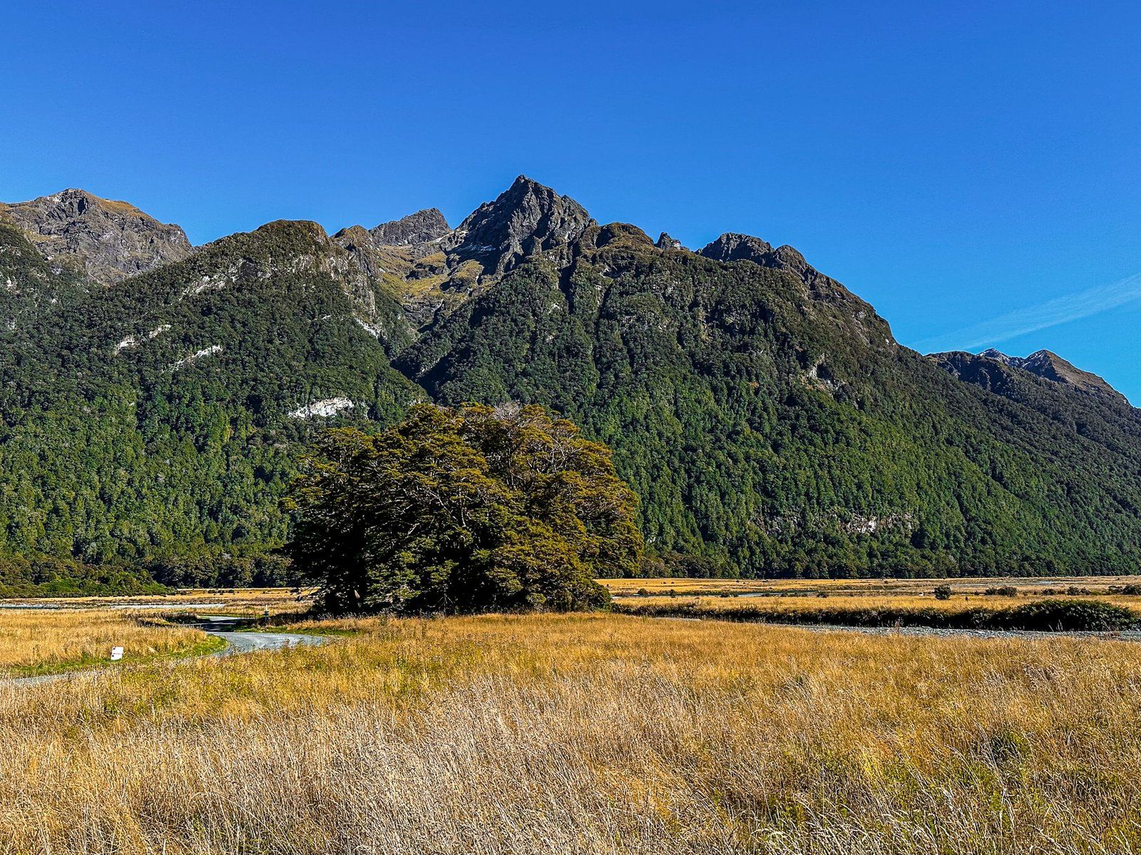
From Te Anau Downs, the Te Anau Milford Highway (State Highway 94) climbs north towards the Eglinton Valley and the entrance to Fiordland National Park. This park section is a beautiful, easy drive, with a mix of golden tussock lands and beech forests, enclosed by the Earl Mountains to the west and the Livingstone Mountains to the east. There are many places to stop and several beautiful campsites (DOC and private).
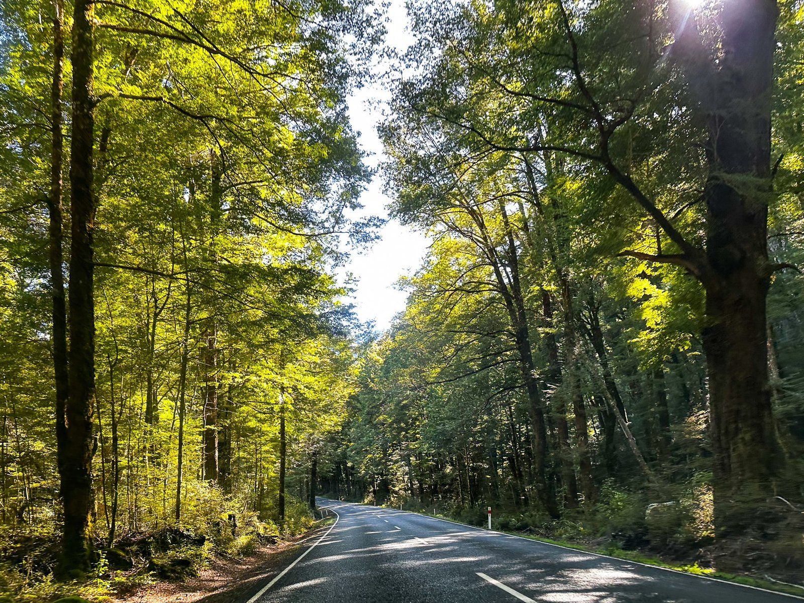
The Eglinton is particularly beautiful to drive through, with sections alongside the river, through the beech forest and across wide golden tussock grasslands. There are multiple options for stopping, so don't panic if the first option is overwhelmed by tour buses!
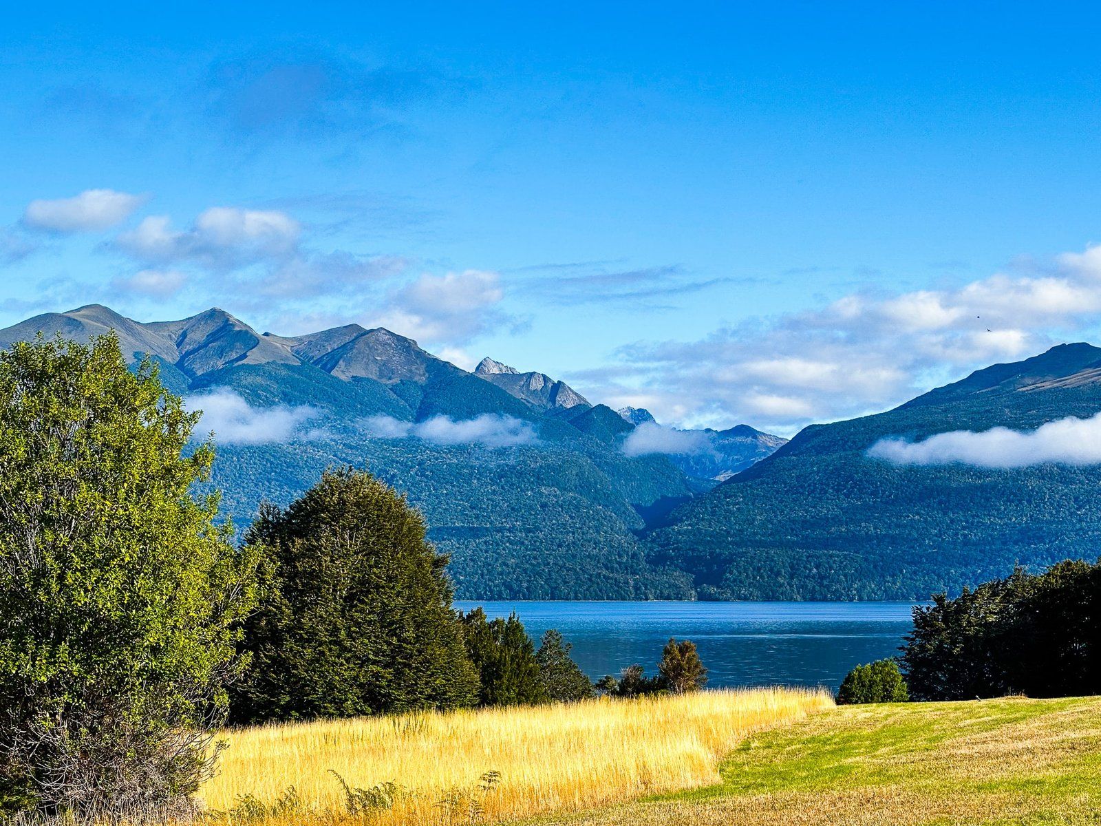
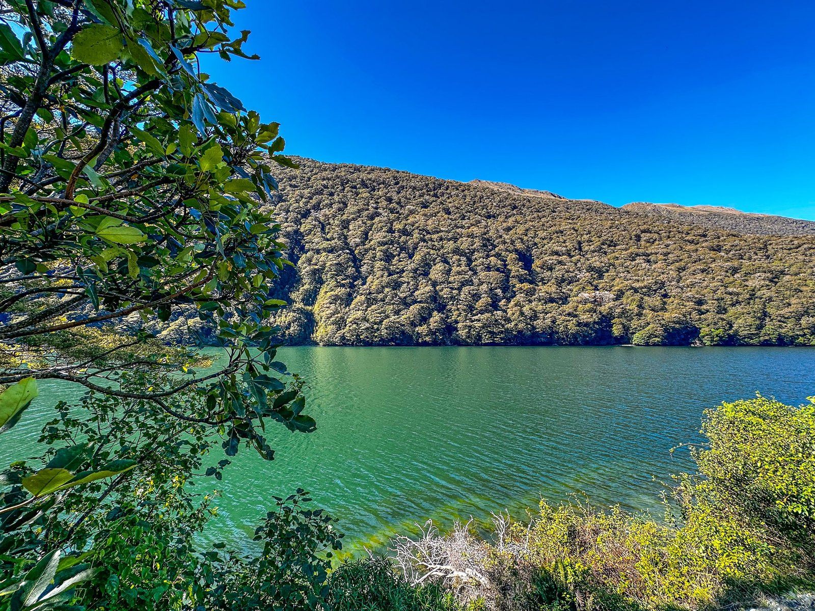
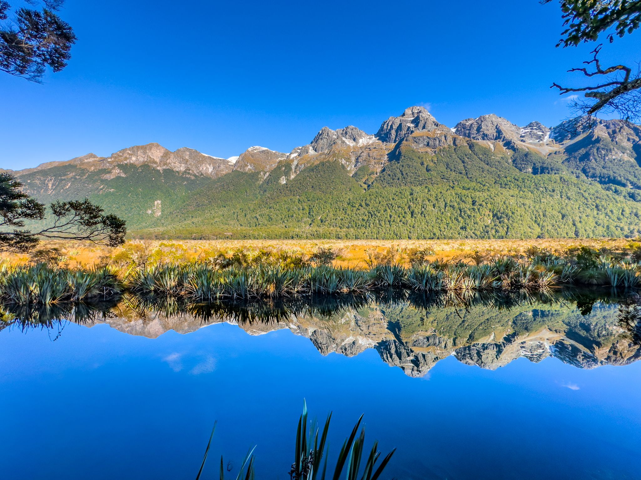
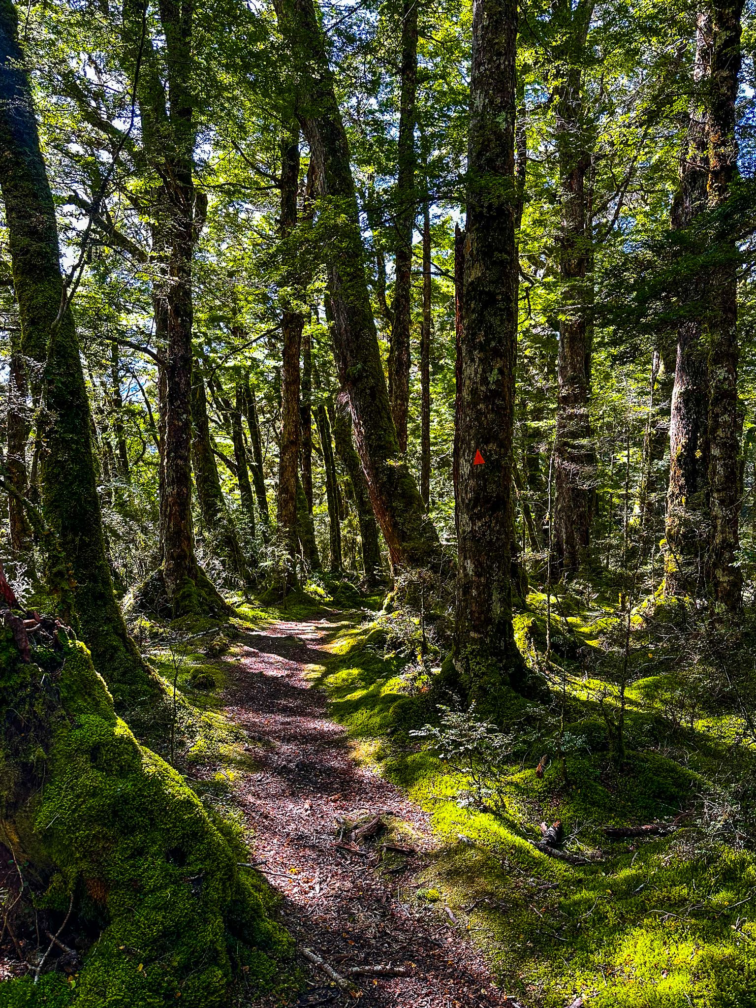
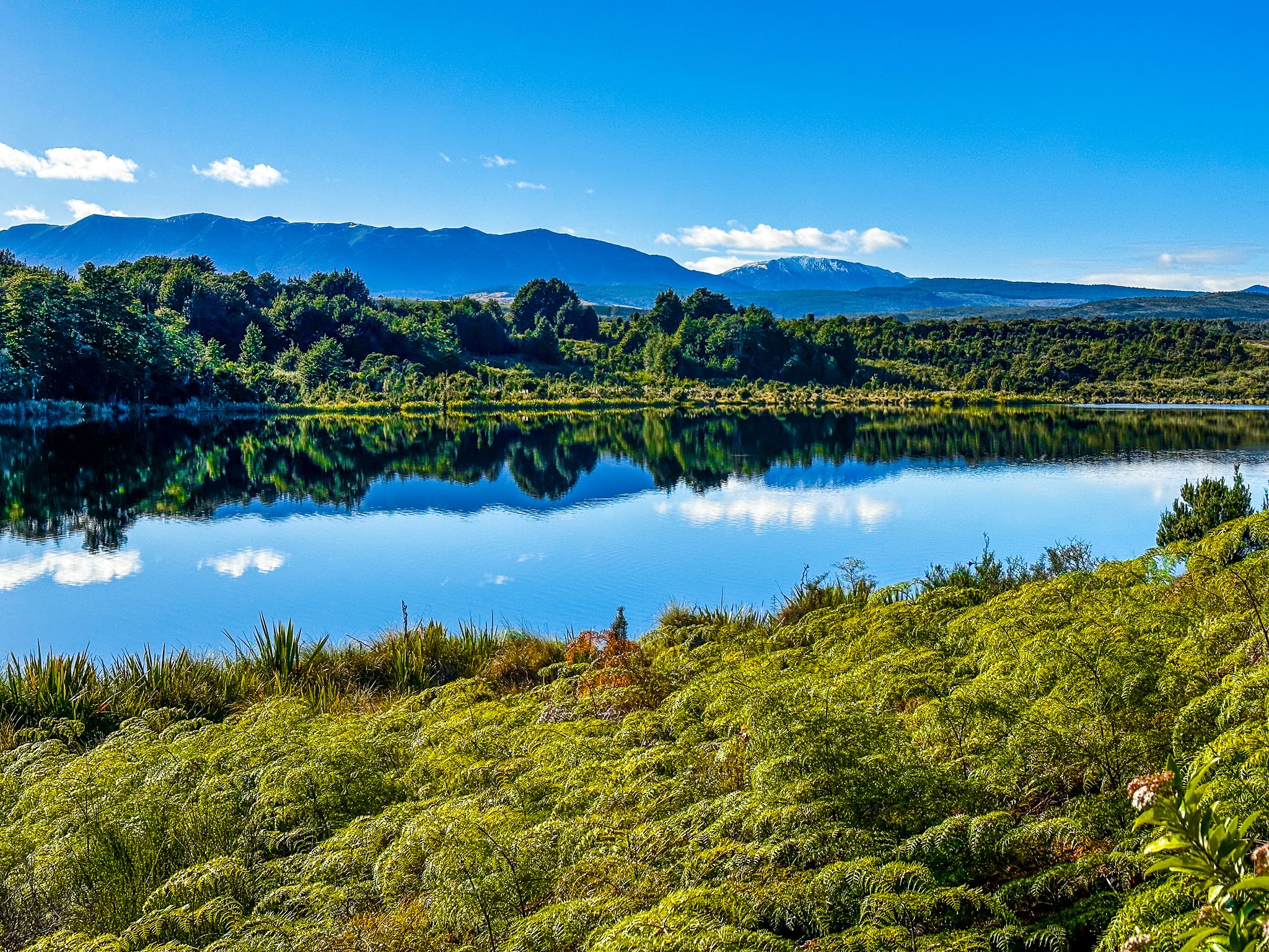
As you continue along the valley, you will reach the Mirror Lakes. As the name suggests, there is an excellent chance you will get a perfect reflection of the Earl Mountains in a beautiful setting. As the valley narrows, the road becomes increasingly surrounded by big, mature beech trees. Approaching The Divide, there are three lakes: relatively big Lake Gunn, middling Lake Fergus and tiny Lochie. The wonderful Lake Gunn Nature Walk and Cascade Creek DOC campsite are at the south end of the first lake.
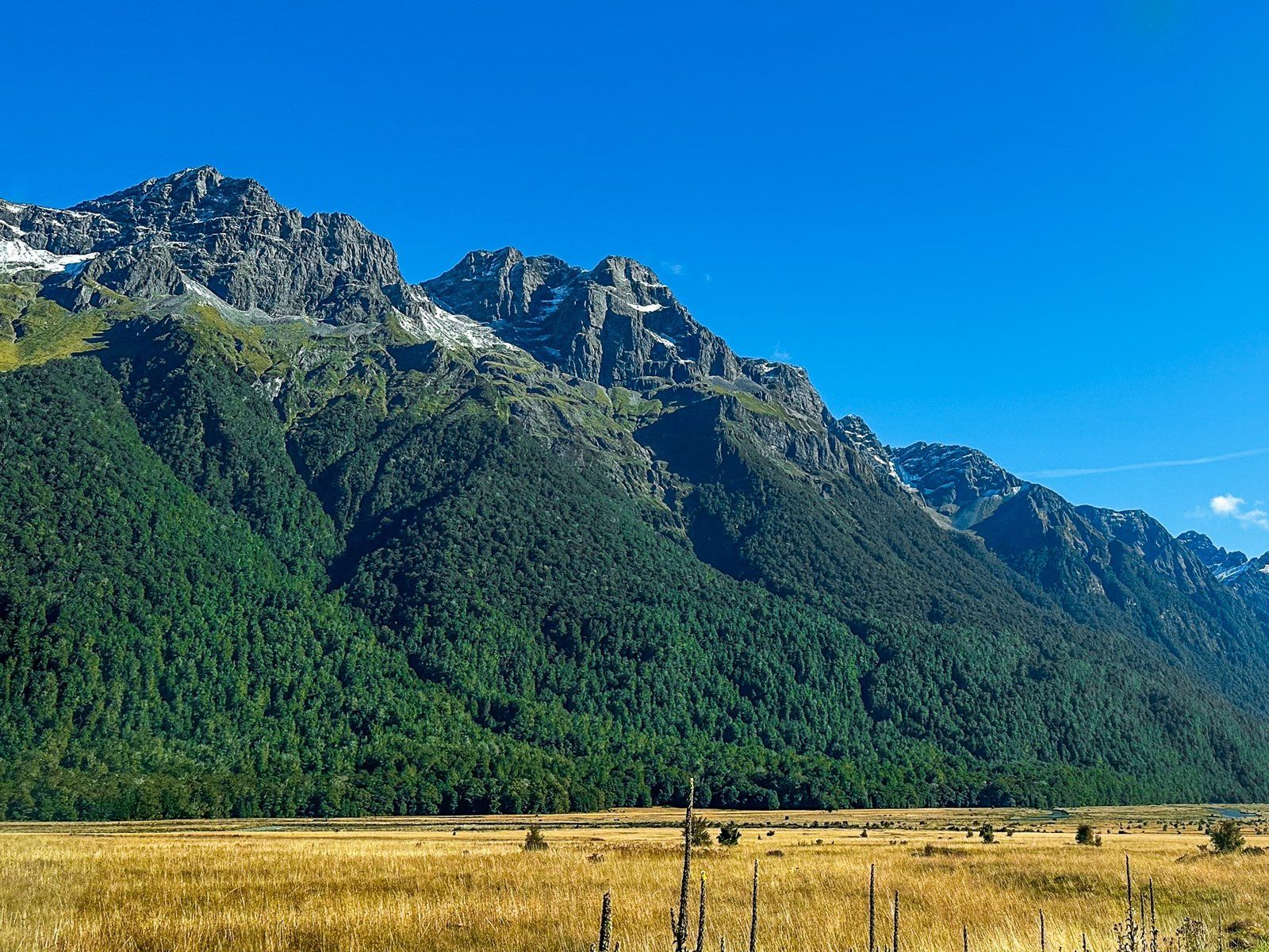
The Divide is literally a gap in the surrounding towering ranges of the Southern Alps, shortly after Lochie. Even so, as a pass, it is only 532 metres high. The highway name changes to the Milford Highway as it veers west for access to the Hollyford Valley, the Homer Tunnel, and Milford Sound. One end of the Routeburn Track can also be found at The Divide, with options for day walks as well as the multi-day Great Walk.
The region is also part of the much larger Te Wahipounamu World Heritage Area.