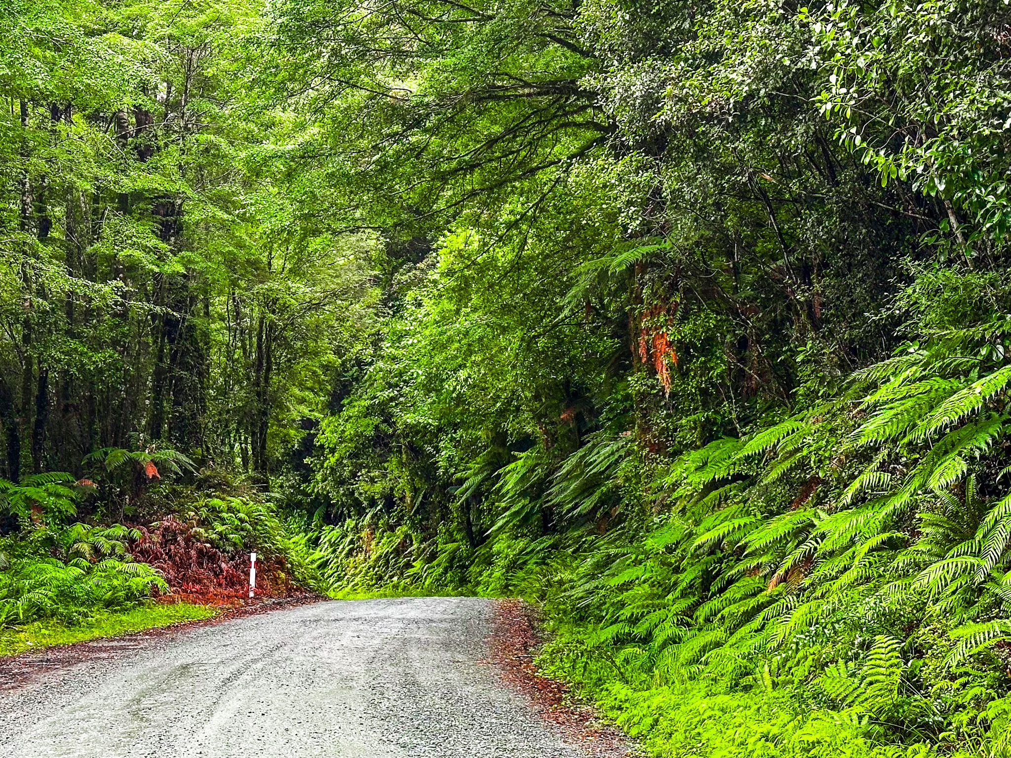
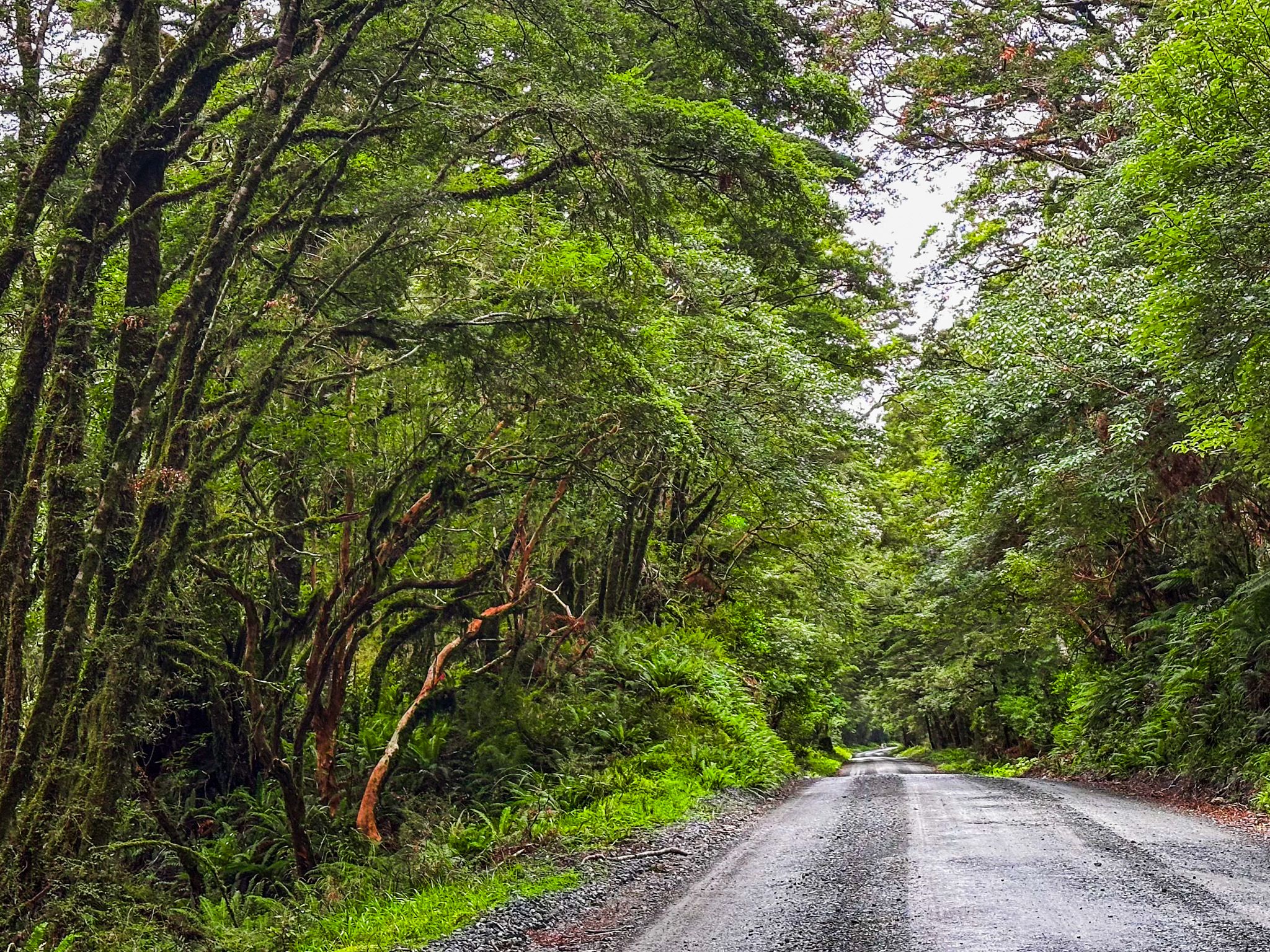
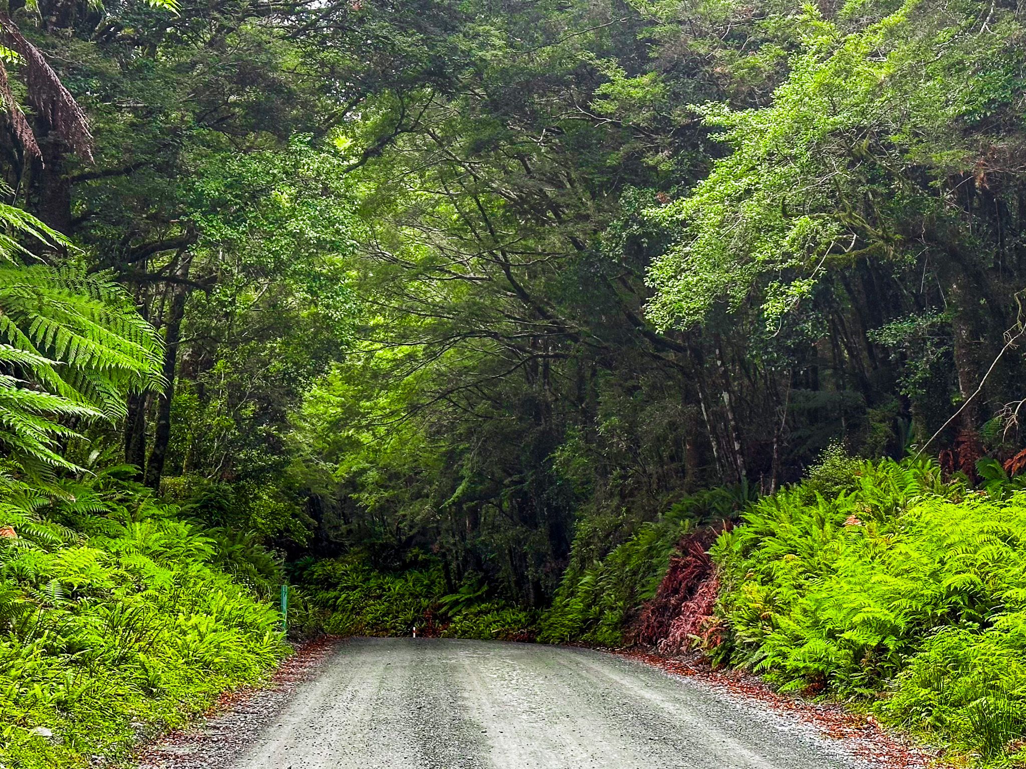
Lower Hollyford Road is a 16 km metalled road along the Hollyford Valley in Fiordland. It starts at Marian Corner, where the Milford Sound Highway (State Highway 94) reaches the Hollyford River / Whakatipu Kā Tuka after dropping down from The Divide. The drive only takes 45 minutes, less than halfway along the valley, and terminates at the start of the Hollywood Track.
Before Europeans arrived, the valley was part of a Māori trail network that provided access to West Coast pounamu and other resources. The idea of a road was first suggested around the 1870s to connect Hollyford with Haast and Te Anau. Te Anau to Milford was ultimately built in the 1930s, with the extension into the Hollyford Valley. Despite many subsequent plans, little practical progress has been achieved due to cost and the ecological impact on a remote part of Fiordland National Park.
Although the road is short, there is plenty to do. For a day trip, start with a stop at the car park at Marian Corner. This was once the location of Marian Camp, a road-building work camp set up in the 1930s to support the construction of the Milford Sound Highway from The Divide to Milford Sound. From there, it is a short drive down Hollyford Road to the large parking area at the start of the Lake Marian Track. Allow up to 4 hours to walk up to the lake and back or 20 minutes to walk to a spectacular series of waterfalls on Marian Creek.
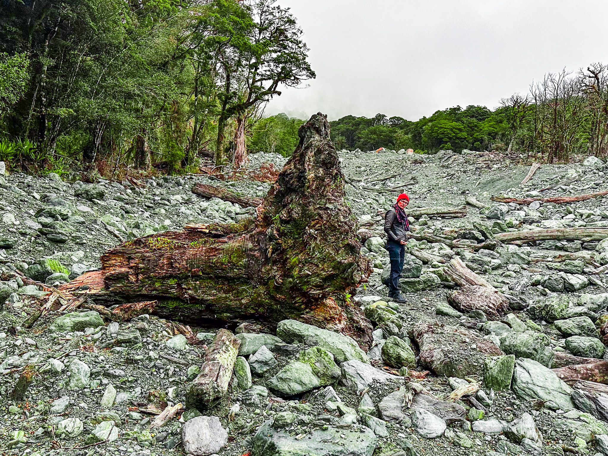
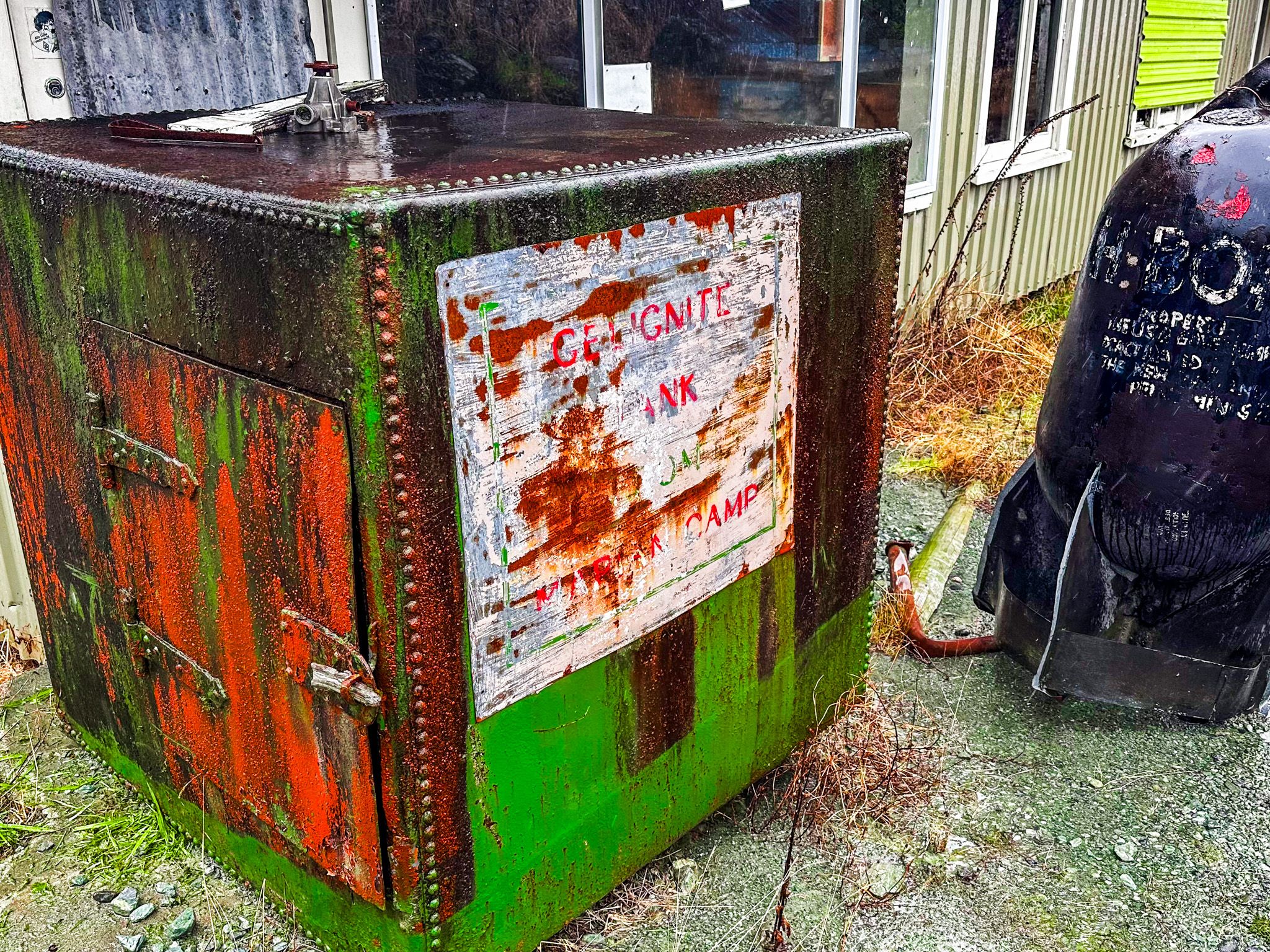
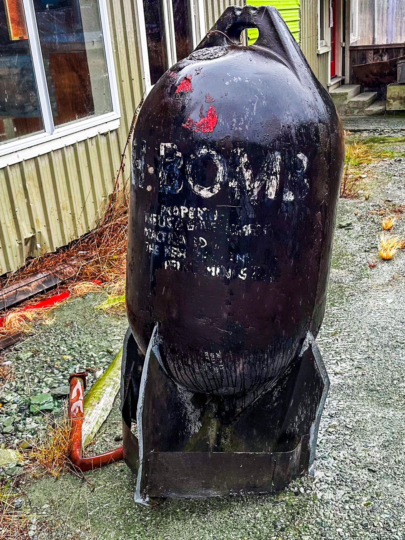
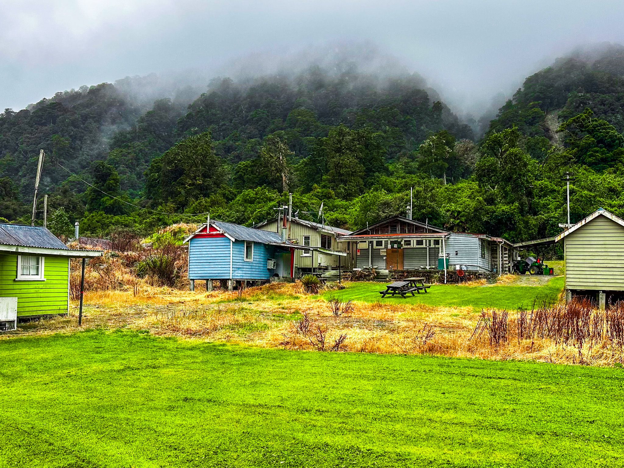
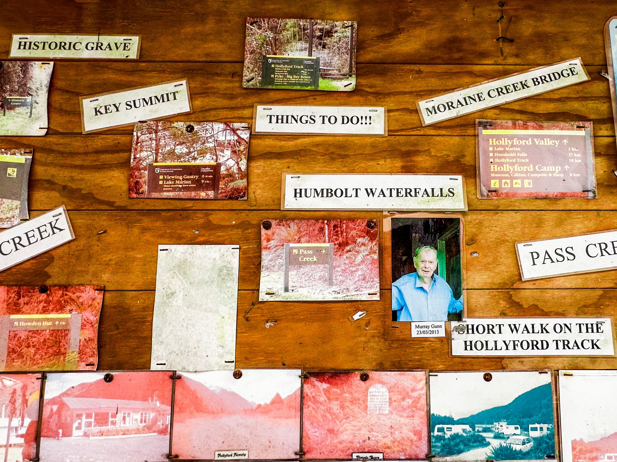
Continue along the road to Gunns Camp. This surviving road camp was used for many years as a Holiday Park, small shop, and museum. It was closed after an enormous storm in 2020, but you can wander around. Look out for the historic explosives safe and photo wall. The big pile of debris by the camp and the enormous slip along the road are evidence of the weather event.
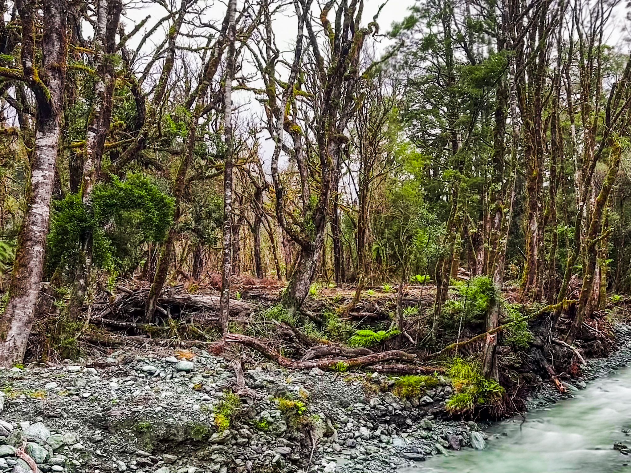
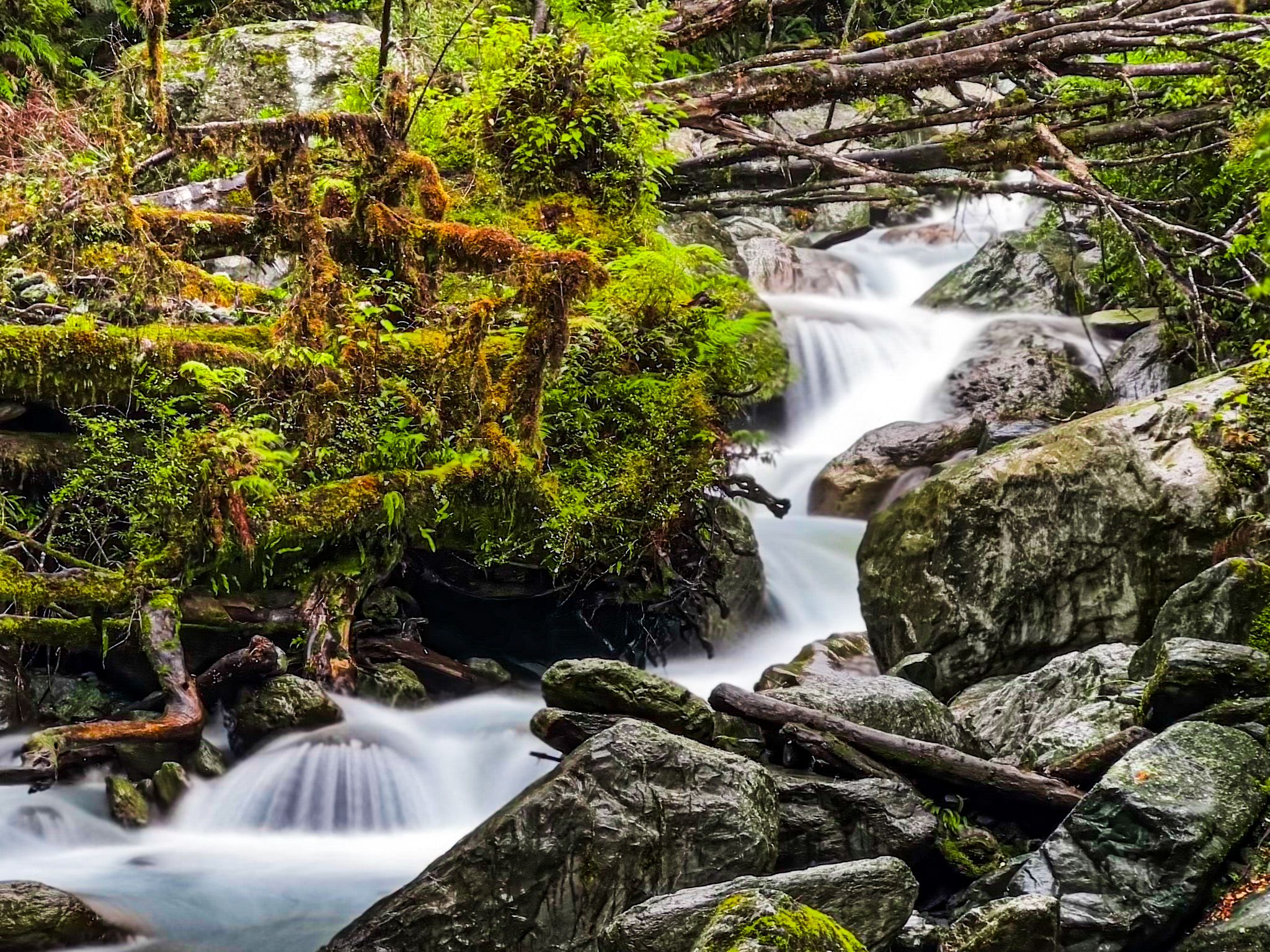
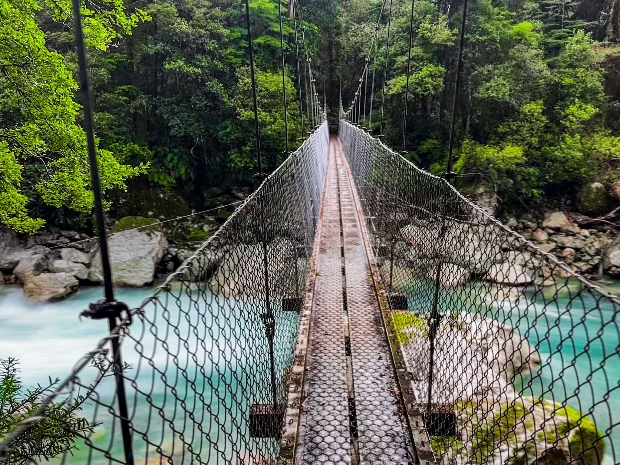
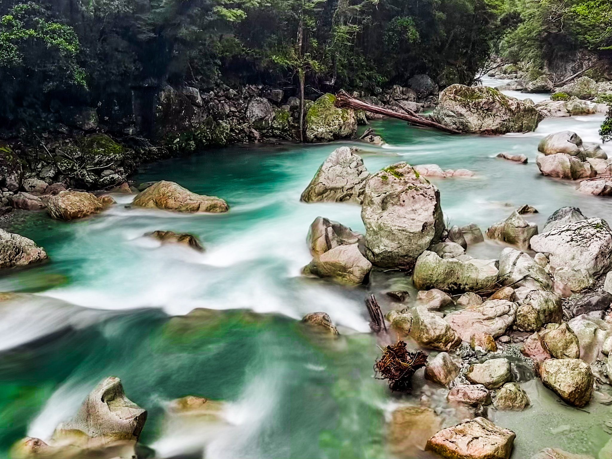
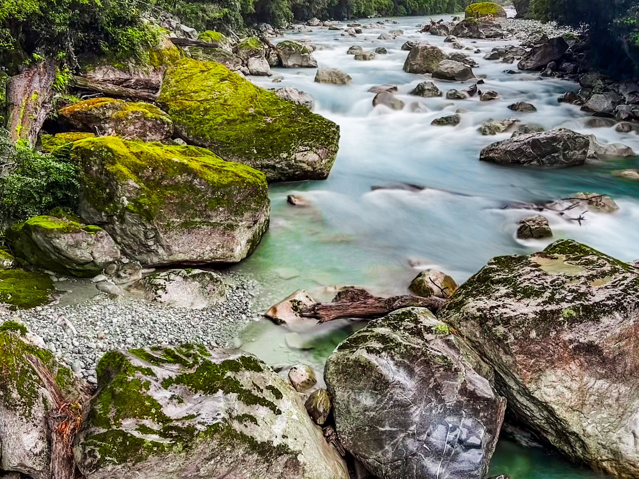
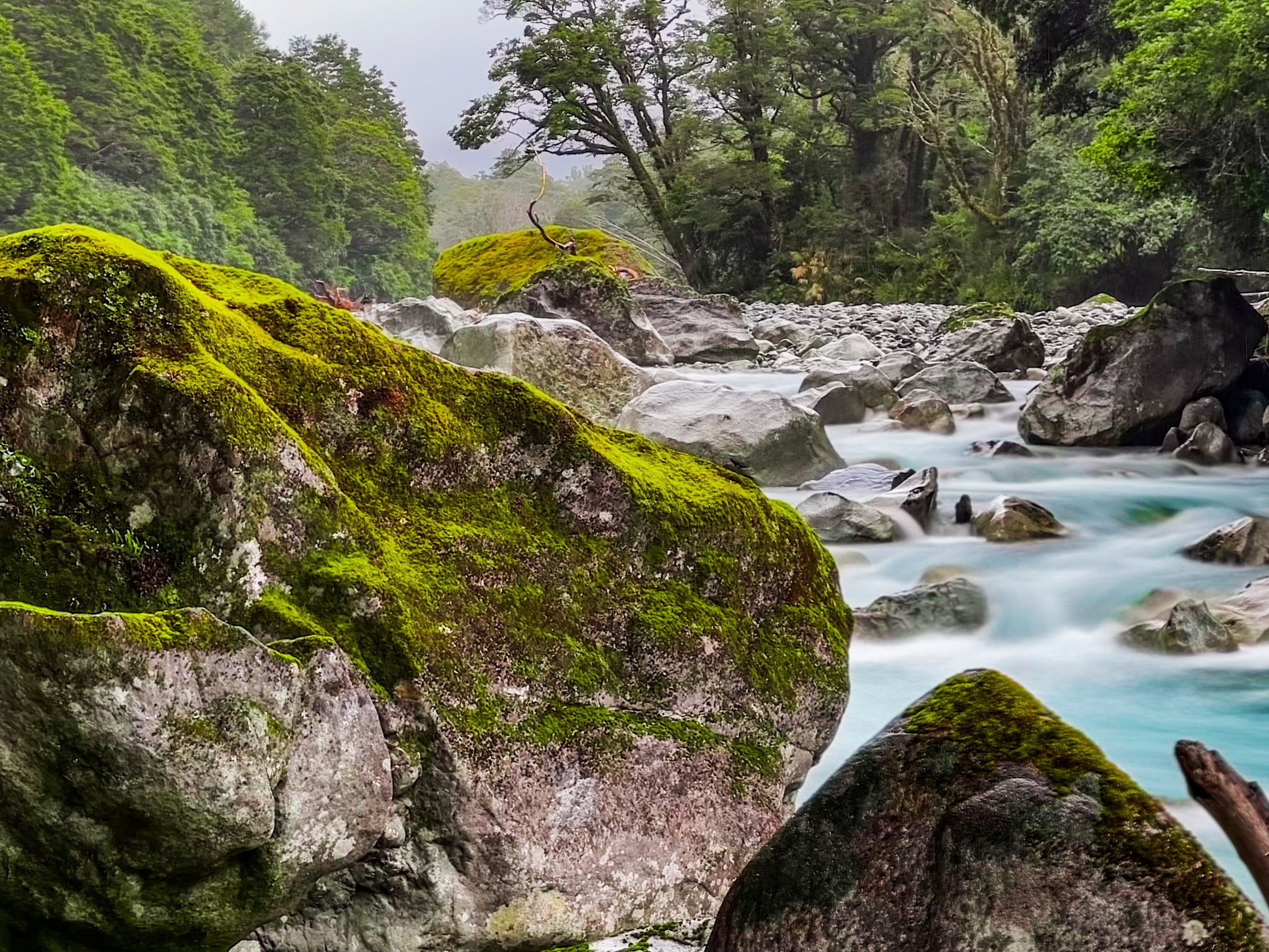
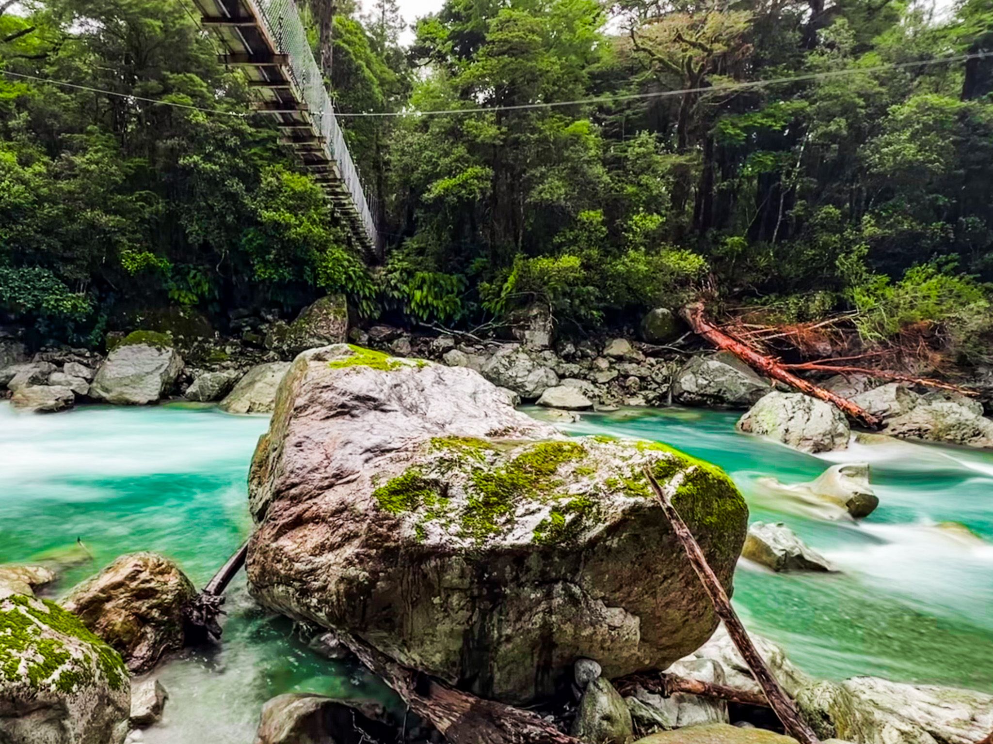
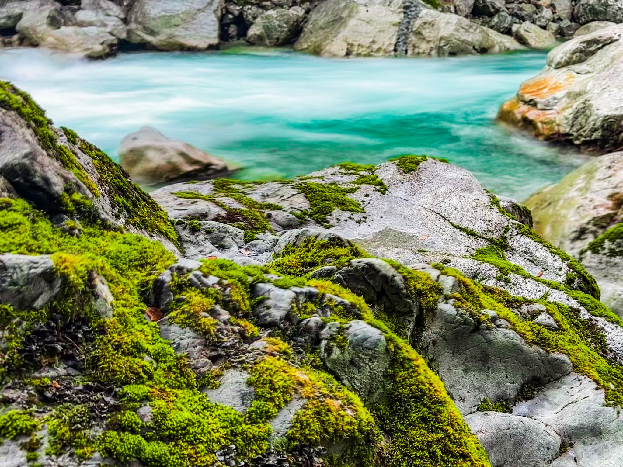
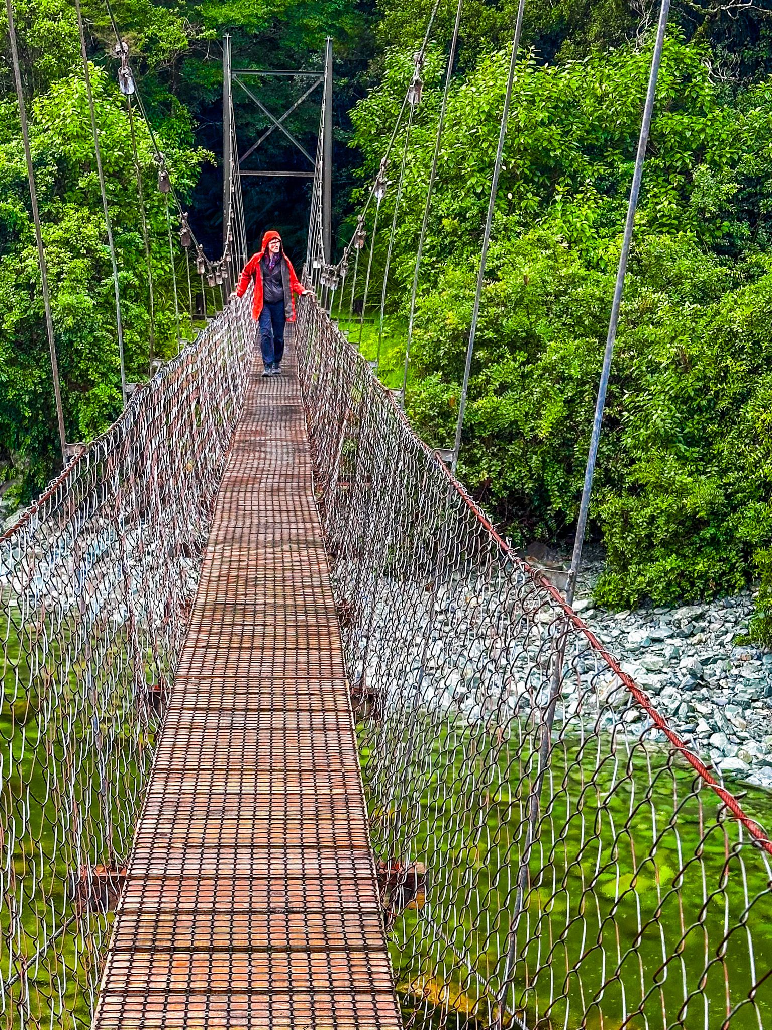
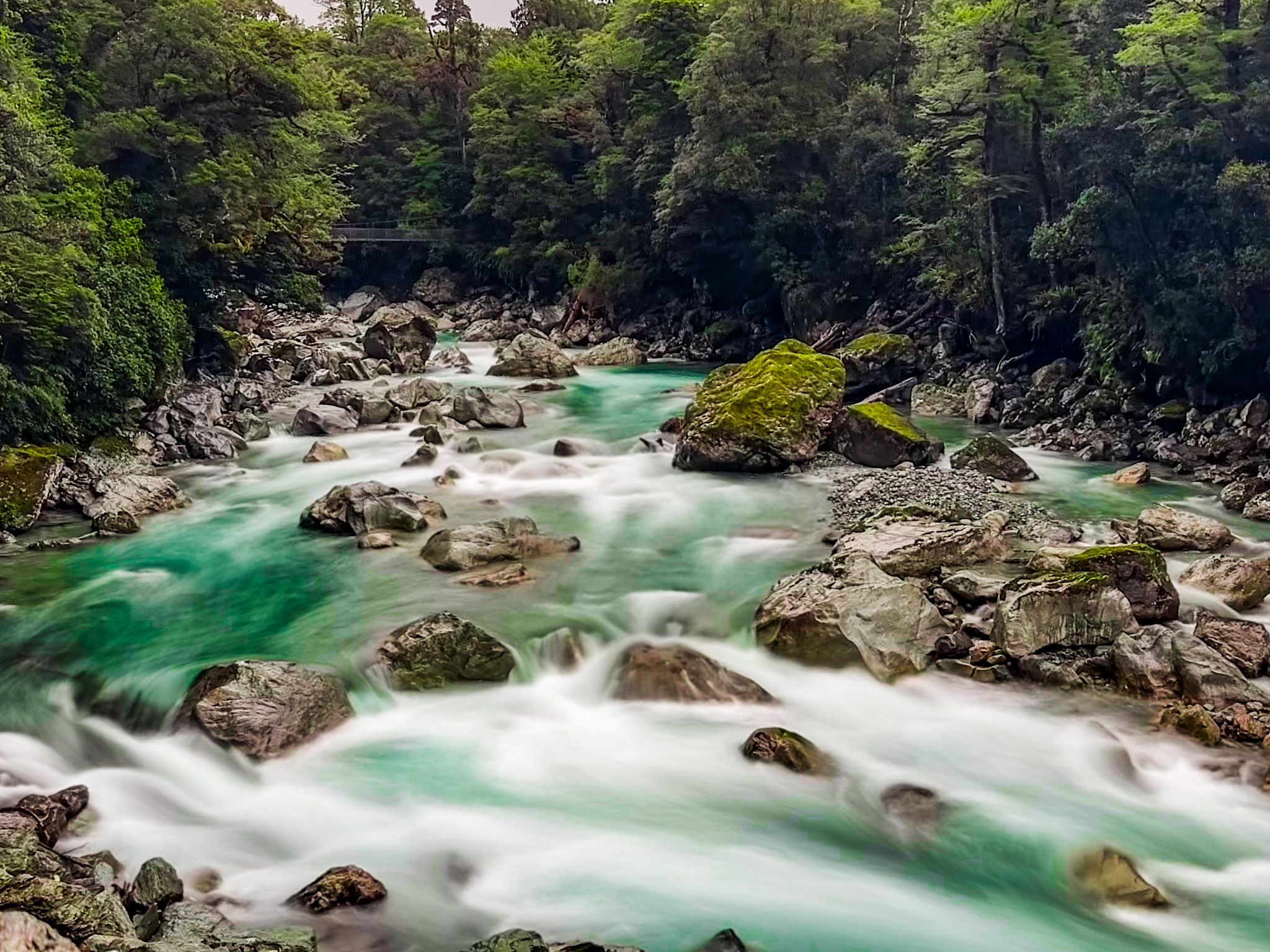
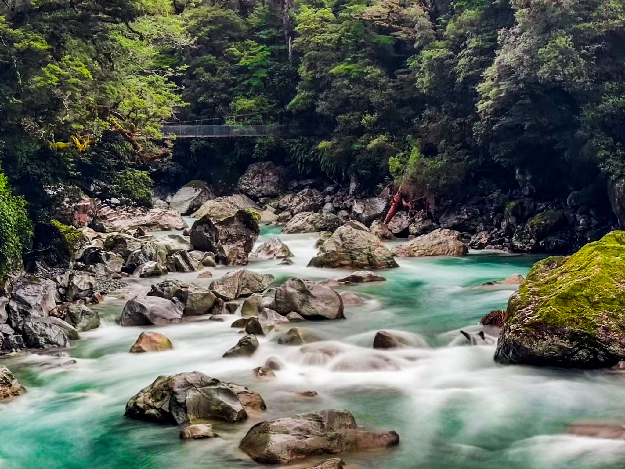
Most of the road is shrouded in dense forest, but there are a couple of places where you can stop to take in the raging rapids of the Hollyford River. One is by the swingbridge at the start of the Moraine Creek Track, which heads west, deep into the Darran Mountains. Here, the river flows over and around some enormous boulders.
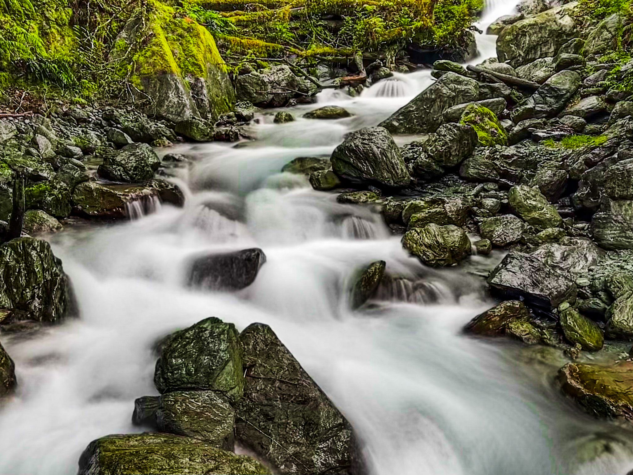
A little further on is the car park for the short walk to the 275-metre-high Humboldt Falls and the start of the multi-day Hollyford Track to Martins Bay on the West Coast. A half-day option is to walk the first two hours of the Hollyford to Hidden Falls. There are also two tracks that take you up to the Routeburn. Pass Creek climbs over 500 metres to connect near Key Summit Track and steep Deadmans Route is a 900-metre climb that connects near Harris Saddle.