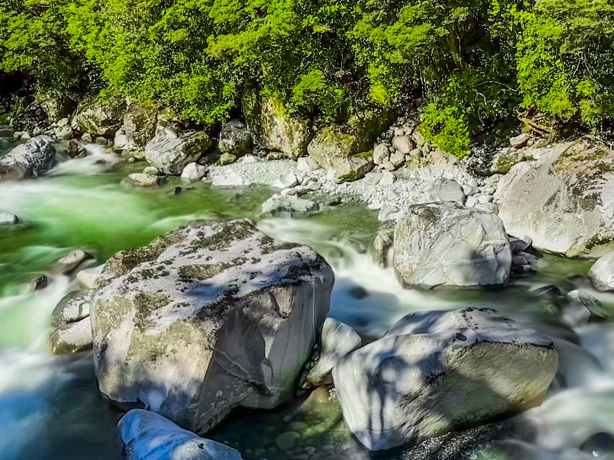
The Milford Sound Highway in Fiordland is the section of State Highway 94 between Marian Corner and Milford Sound. It is the most dramatic mountain road in NZ, and in the rain, it is even more so, as there are hundreds of waterfalls.
A road to Milford Sound was first proposed around 1890, and a route was surveyed from Te Anau. However, it was 40 years later, during the Great Depression, that the project progressed as a make-work scheme. A work camp was set up at Marian Corner, and by 1935, there was a rough road to the start of the Homer Tunnel. The 1.2 km tunnel was manually dug out, and the west side was reached in 1940. However, WW2 disrupted the project, and it was not fully completed until 1953. The road was only fully sealed in the 1980s.
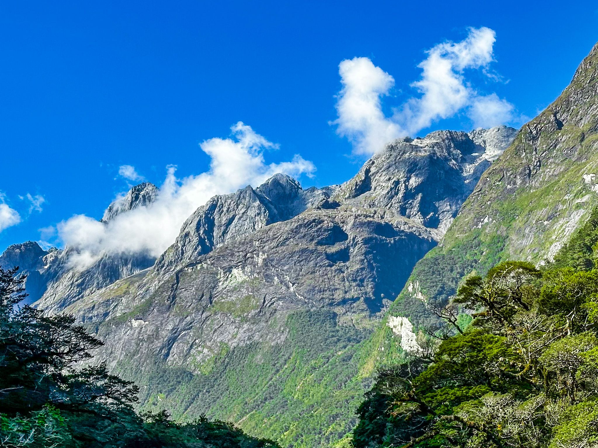
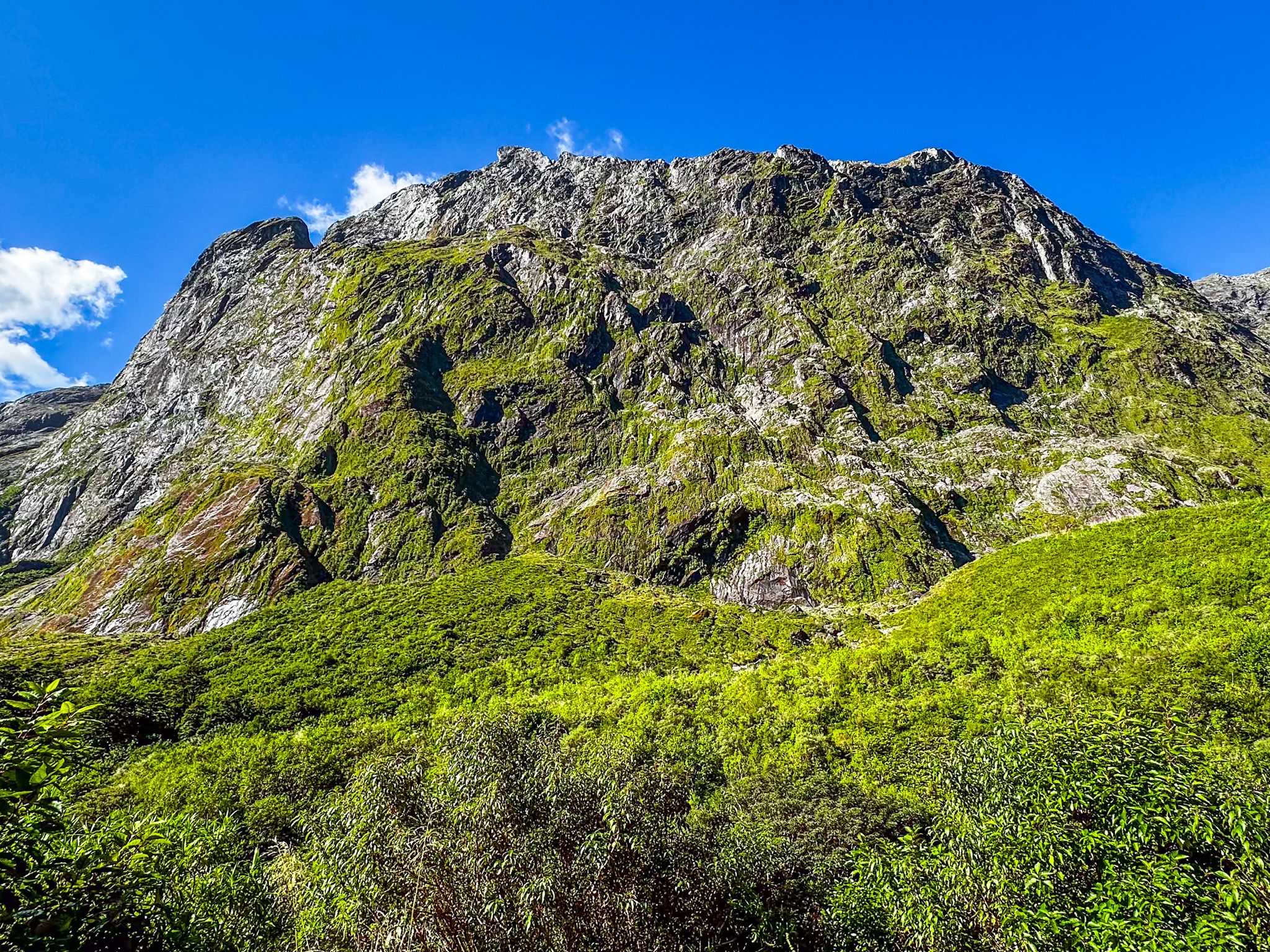
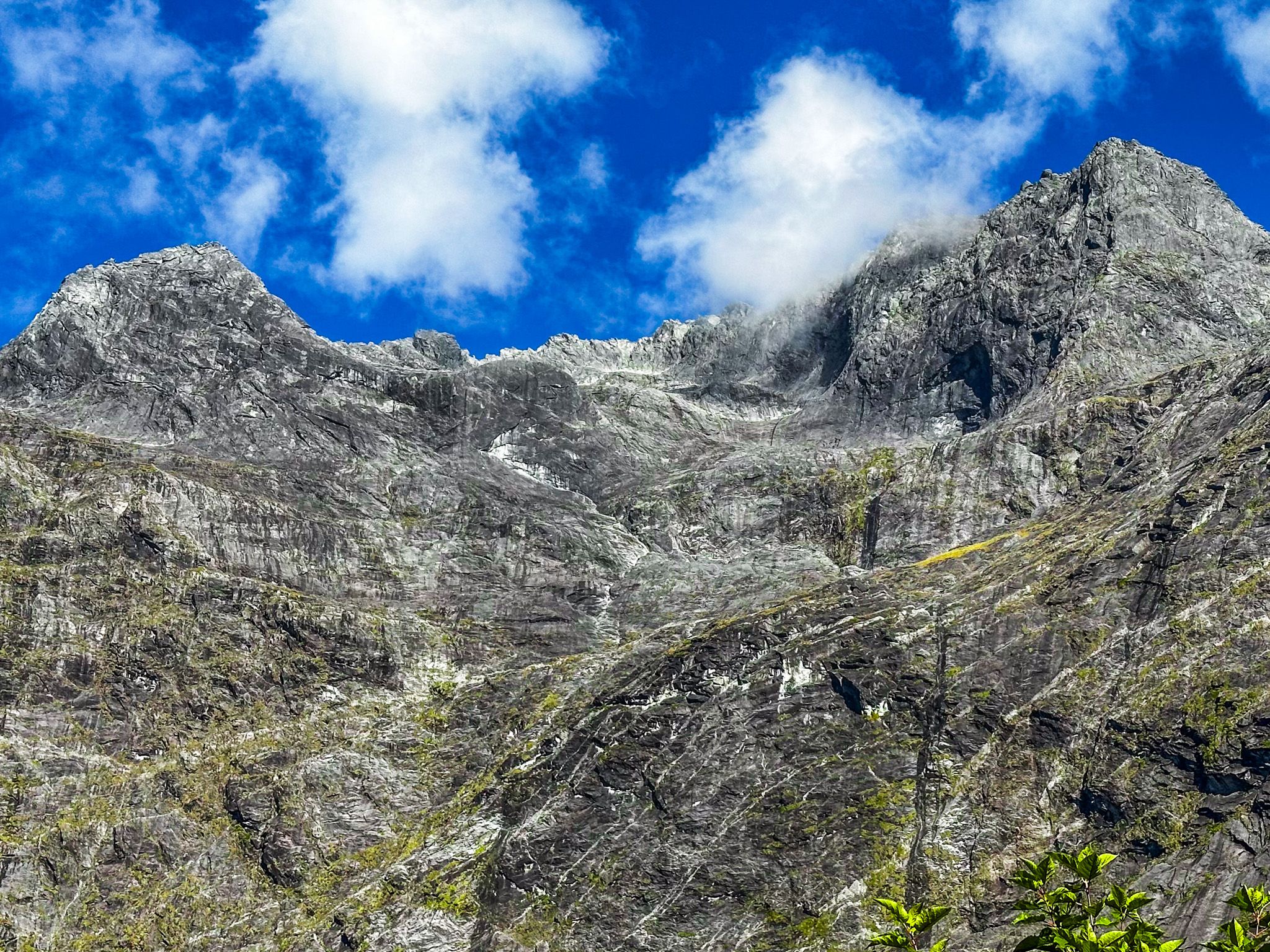
The road starts with views along the Hollyford Valley from Pops View as it drops down to Marian Corner and the Hollyford River / Whakatipu Kā Tuka. It then passes Christie Falls, starting the 500-metre ascent to Homer Tunnel, in the U-shaped valley between Darran Mountains to the north and the Earl and Wick Mountains to the south. As you head towards the Homer Tunnel, the landscape changes from the thick rainforest at the bottom to steep bare rock mountainsides and cliffs, ground out by ancient glaciers. Towards the top, the massive cirque with the north and south mountain ranges joined by the Homer Saddle is spectacular. There are several signposted safe places to stop along this section, including the car park at the start of the Gertrude Saddle Route.
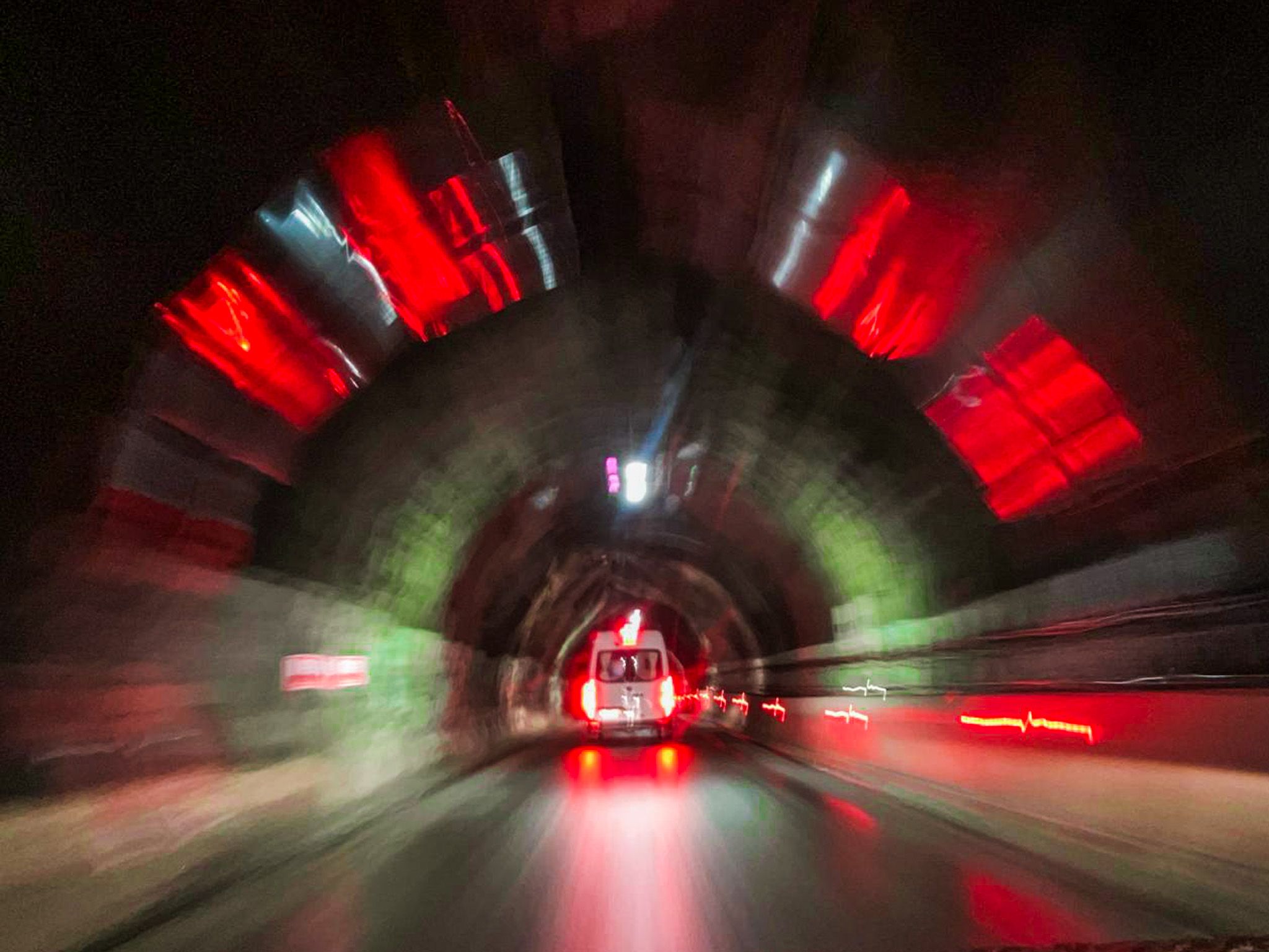
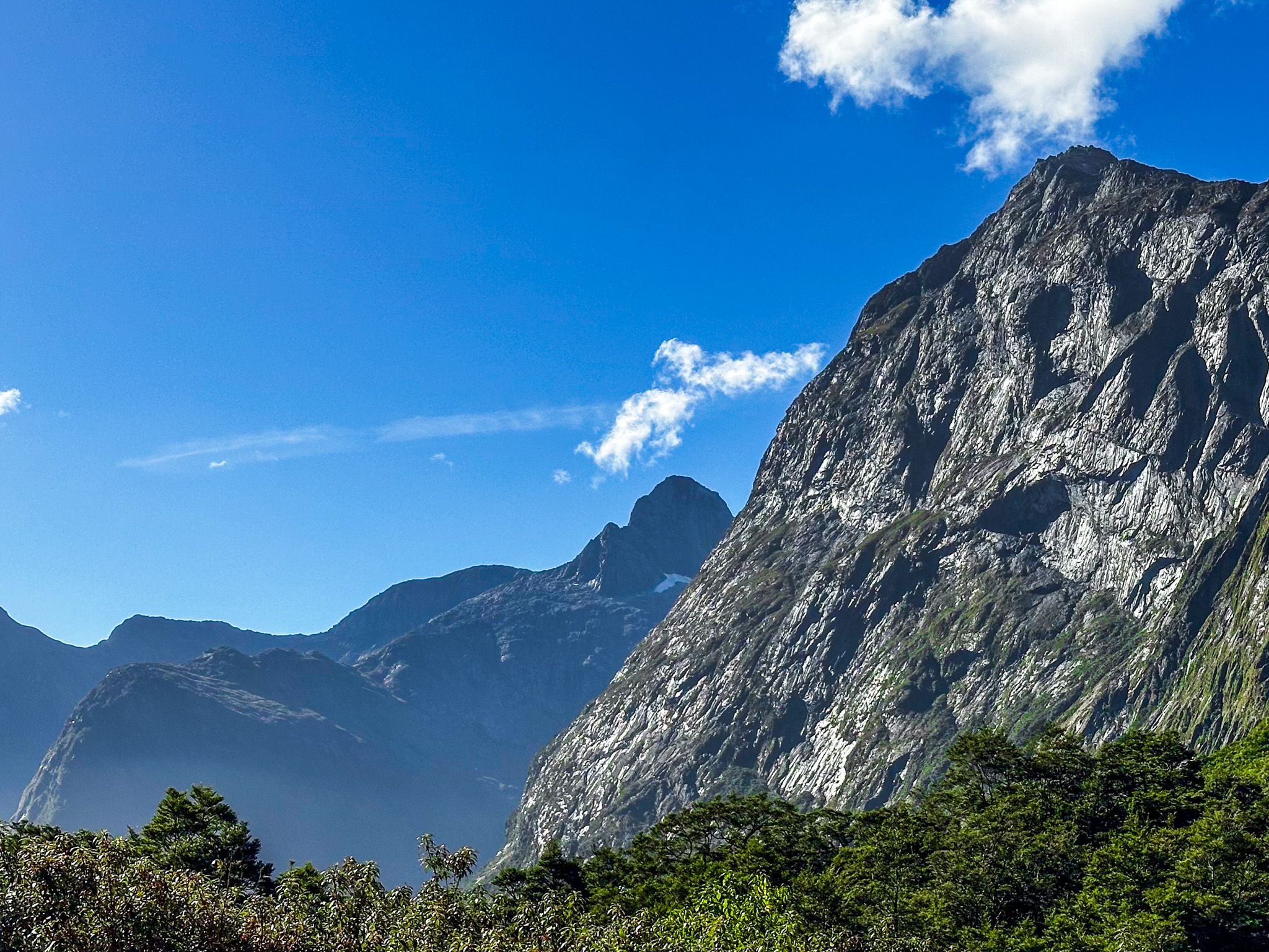
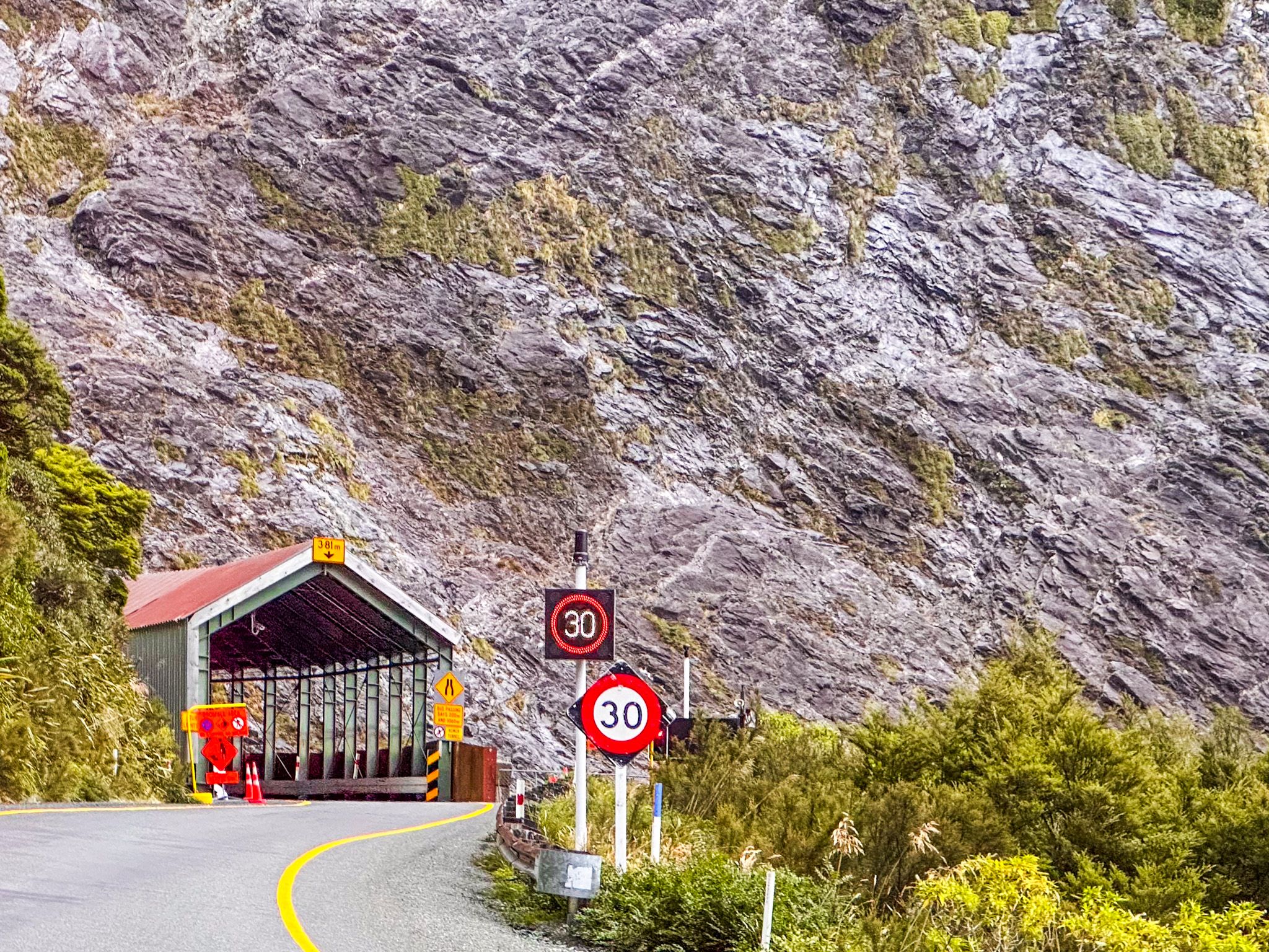
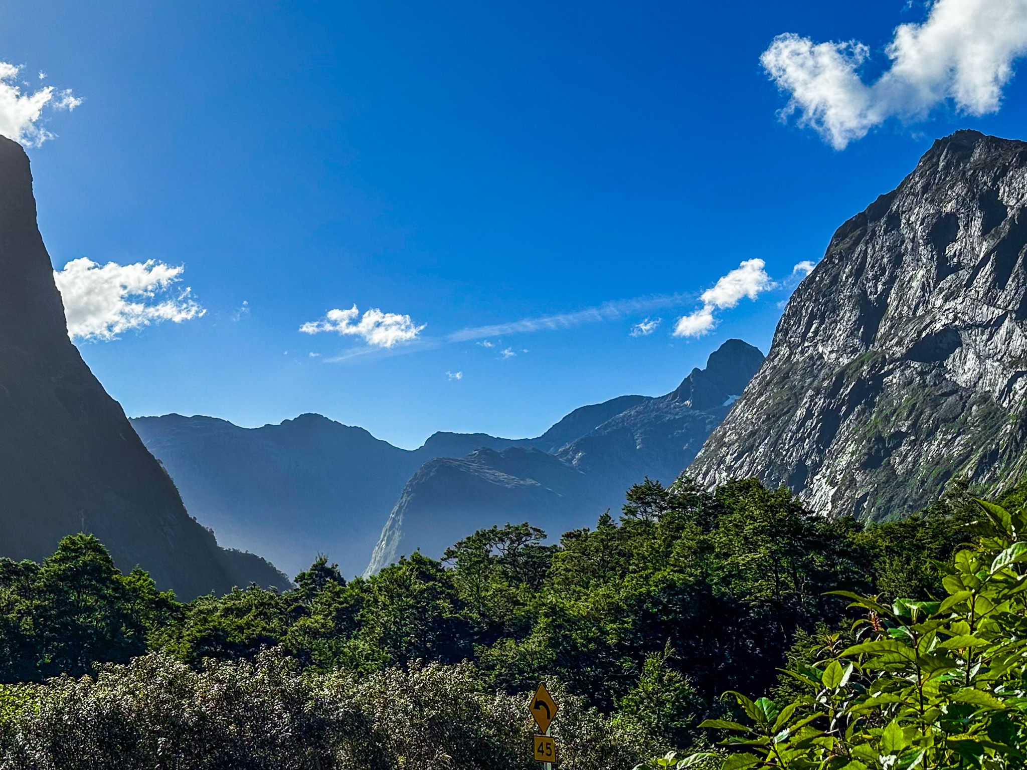
You will probably need to stop at the Homer Tunnel under Homer Saddle, as it is one-lane and controlled by traffic lights. Look out for keas! Once through the tunnel, you enter an even more spectacular cirque, looking northwest into the U-shaped Cleddau Valley. The road makes a couple of steep switchbacks down to the forested valley floor, then follows the valley to Milford Sound. There are safe places to stop on the side of the switchbacks, so don't worry too much about missing the stunning views if you are driving.
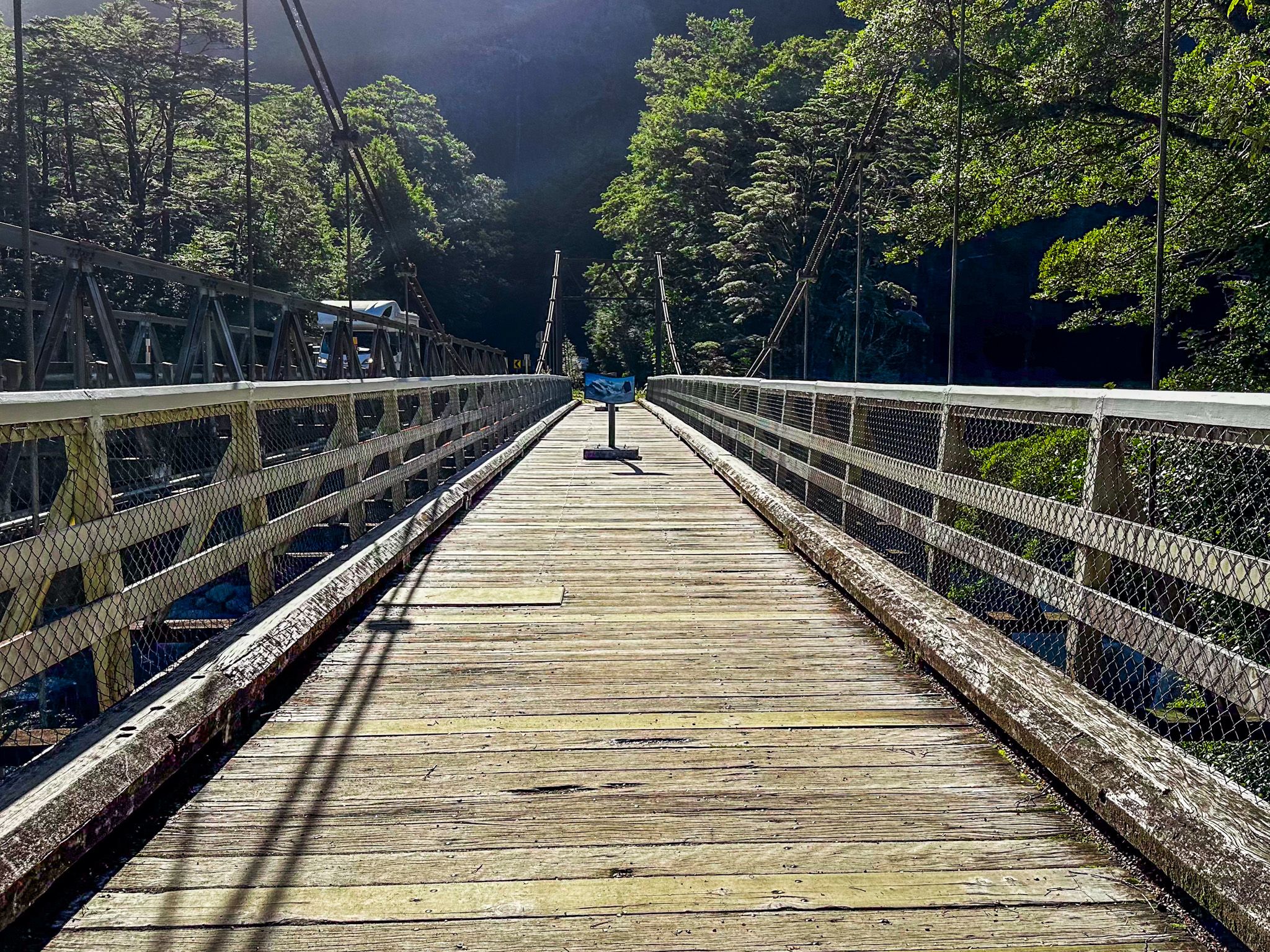
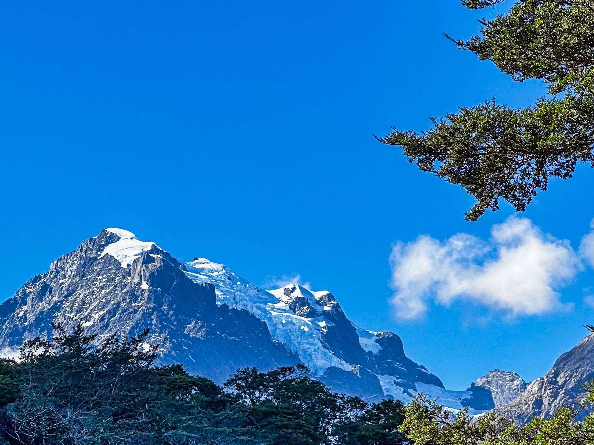
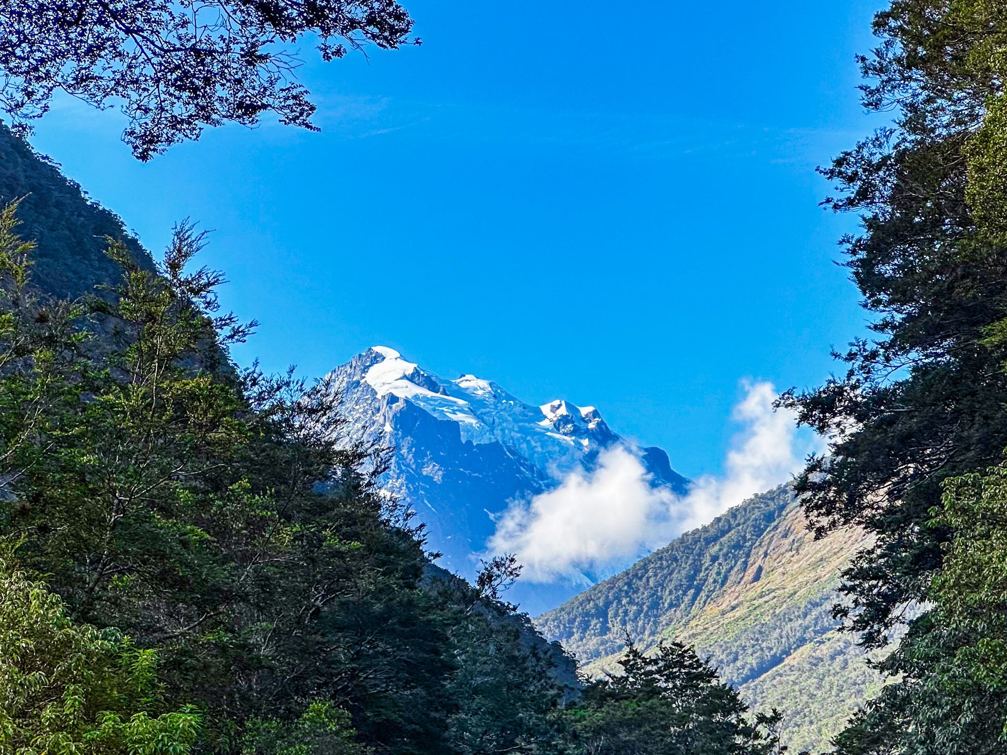
From the valley floor, there is an easy walking track at The Chasm and room to stop beside the historic suspension bridge over the Tutoko River. This also provides the best views of the spectacular 2,723-metre Mount Tūtoko. It is the highest in Milford Sound and is named for a Māori chief who lived at Martin's Bay when Europeans began to arrive in the area. If you have a day and good weather, there is a challenging tramping route from the historic bridge up the Tutoko Valley.
There is a reasonably large car park by the village at the end of the road. However, parking may be challenging if you arrive at the wrong time on a busy day. If caught out, another option is to park on Deepwater Basin Road near the marina.