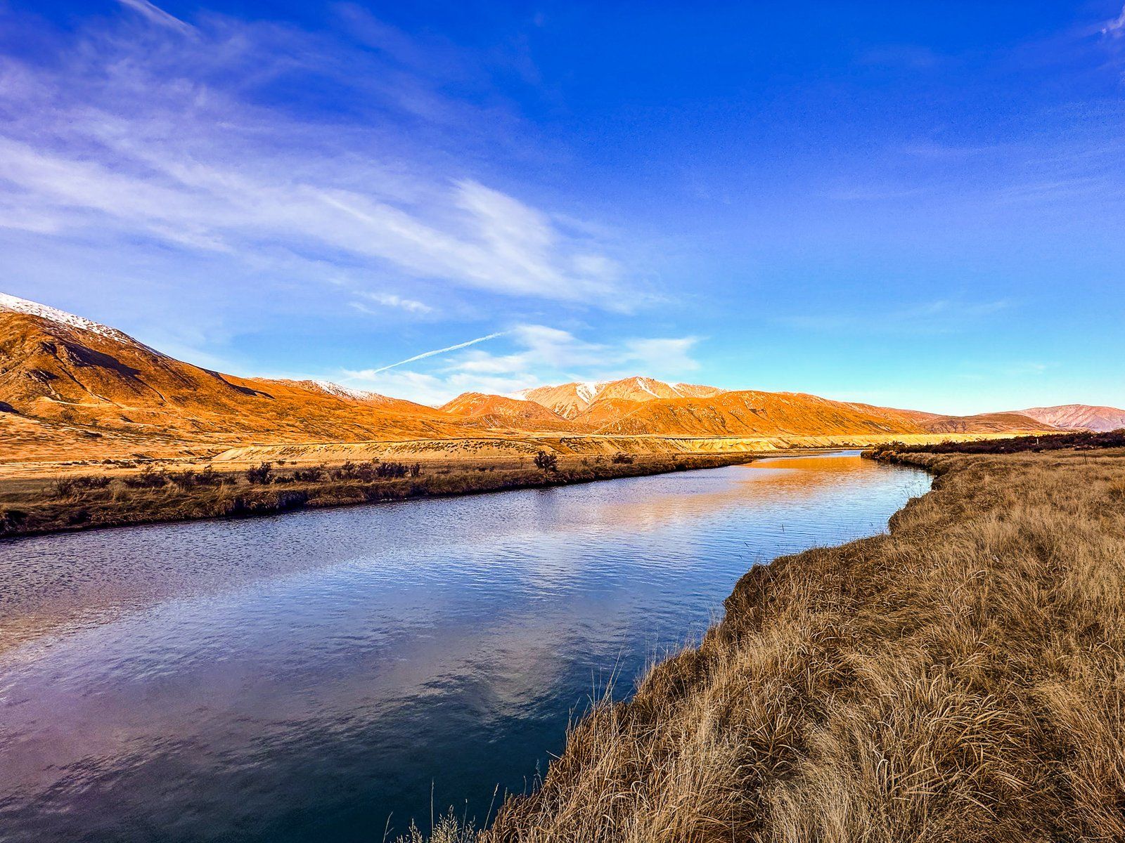
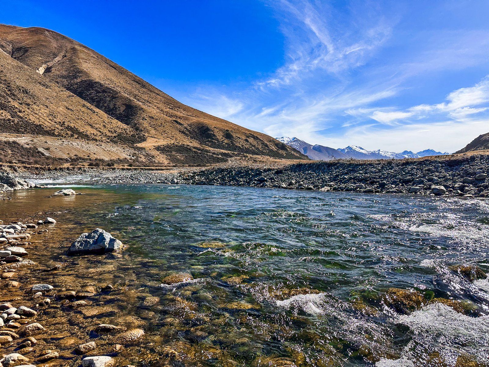
The Ahuriri River runs through the Canterbury and Otago Regions of the South Island. The River starts below Mount Huxley’s glaciers at the north end of Ahuriri Valley in the Ahuriri Conservation Park. Many streams feed it as it heads south between the Huxley and Barrier Range. The water quality is high, and it is an excellent fly fishing option for brown and rainbow trout.
The river flows about 55 km down the valley and into the southern end of the Mackenzie Basin west of Omarama. From there, it continues for about 15 km to the western arm of Lake Benmore, at the head of the Waitaki Valley and hydro scheme.
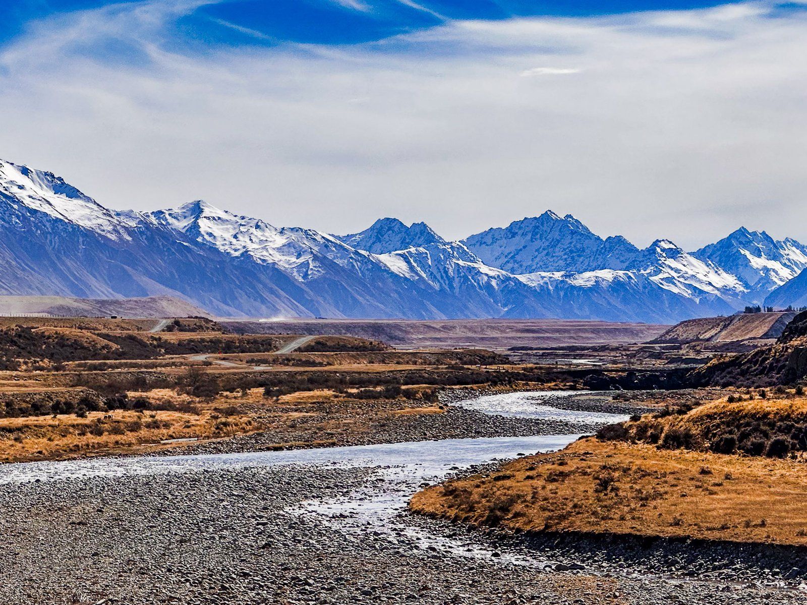
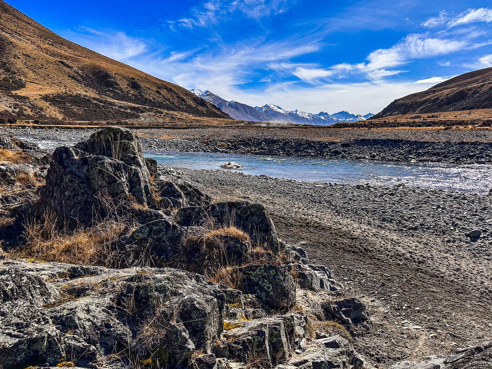
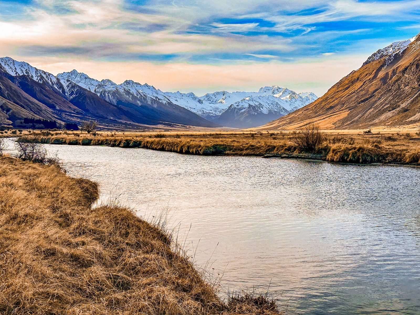
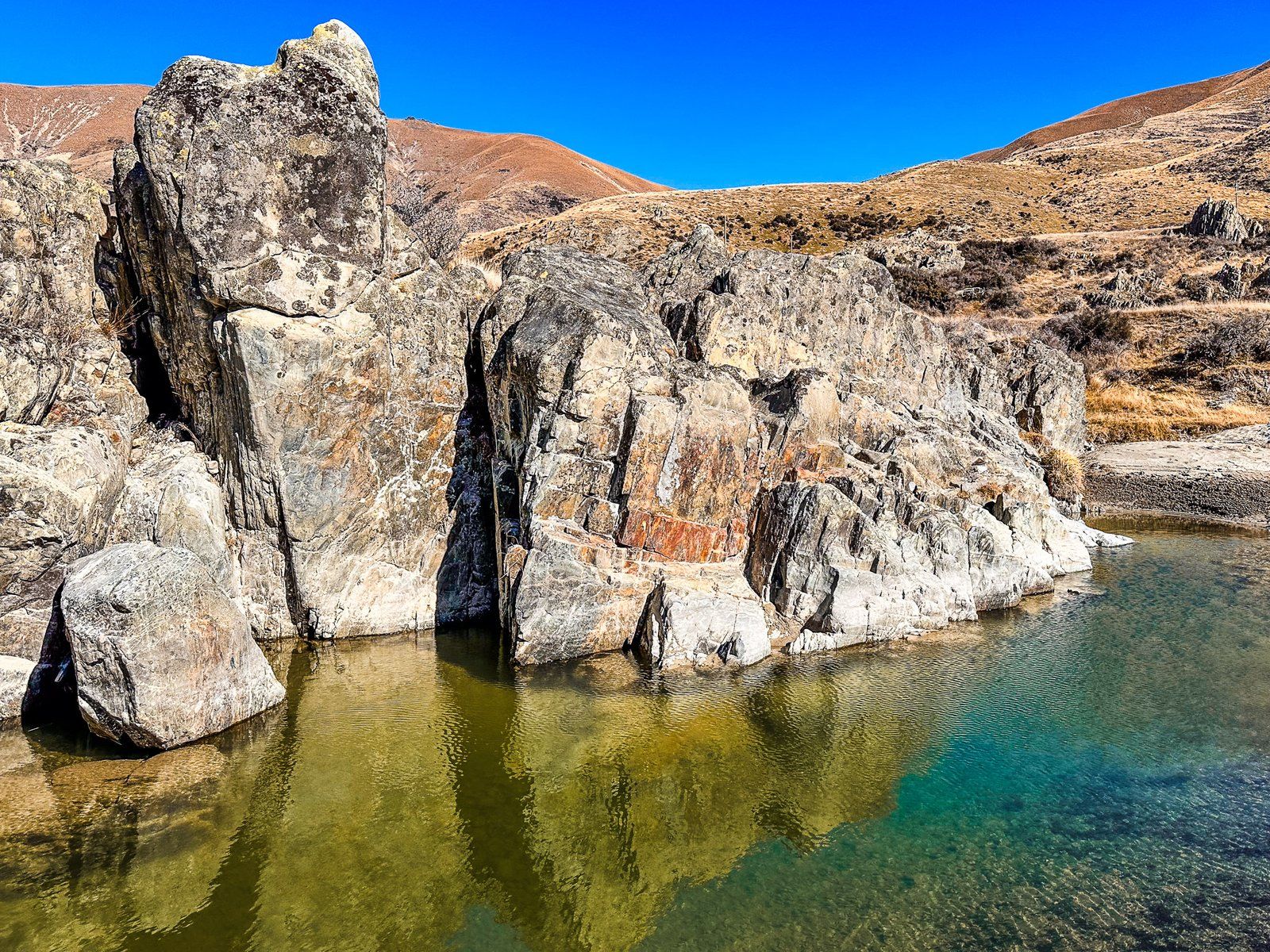
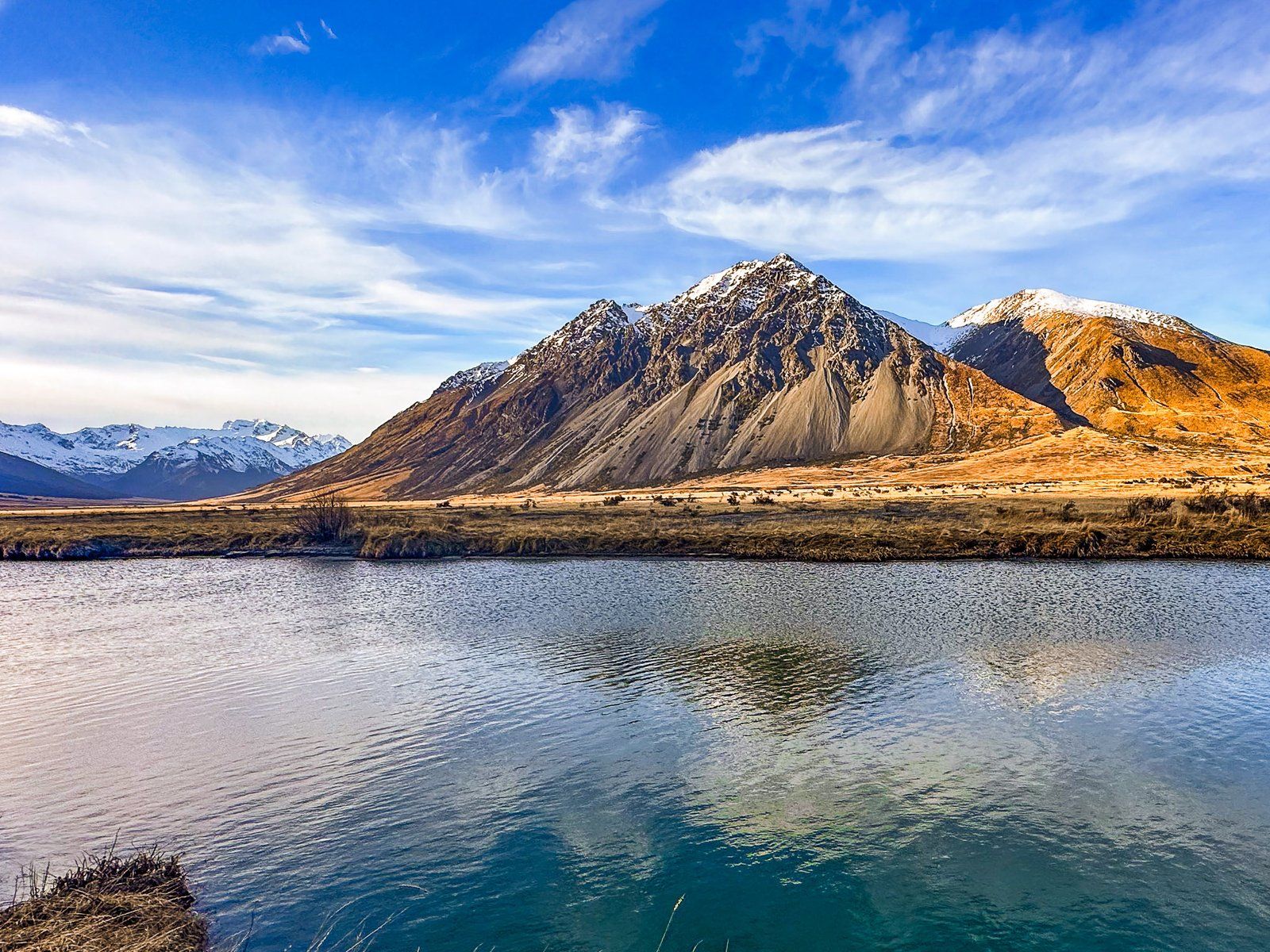
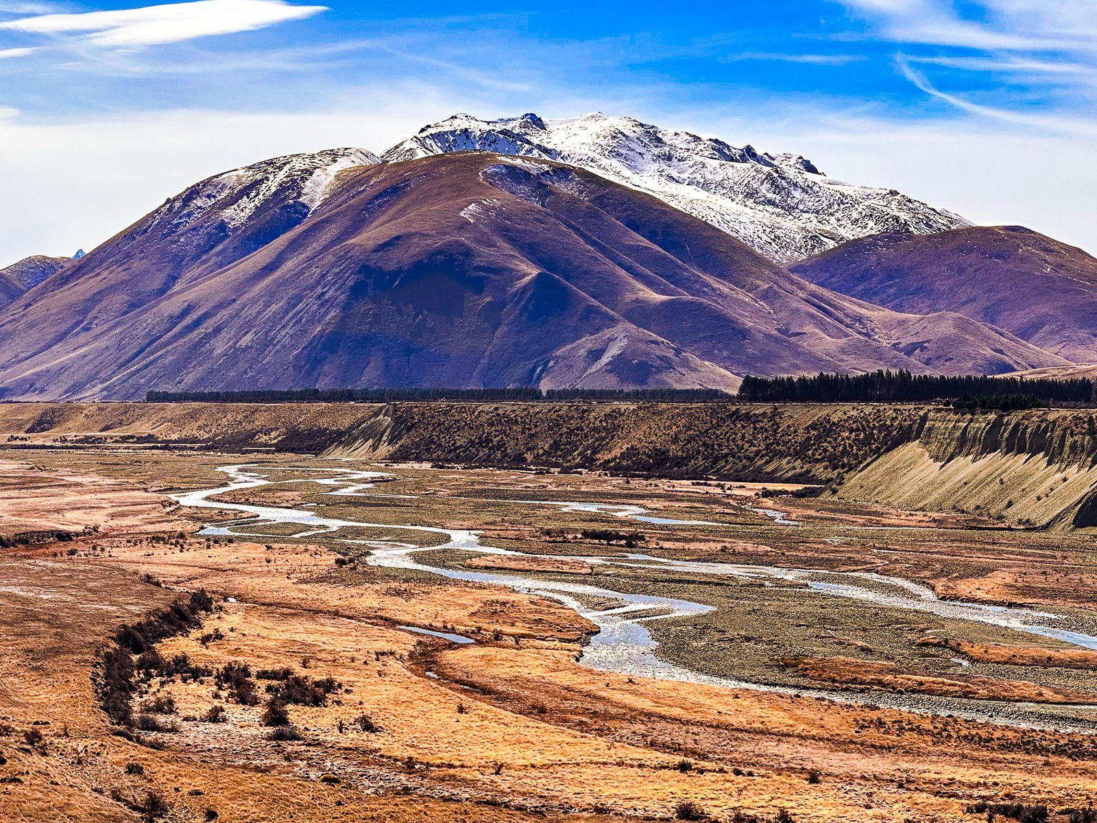
The river landscape is highly variable, running down the valley and into the Mackenzie. It ranges from a braided river to a narrow gorge at Ireland Road Bridge and supports the significant Ben Avon wetlands halfway along the valley. About eight km along Birchwood Road from State Highway 8, there is a particularly interesting view of gravel river terraces carved out by the River from the 20,000-year-old glacial moraine. The well-known Clay Cliffs in the Mackenzie Basin are also on the river’s north bank, west of Omarama.
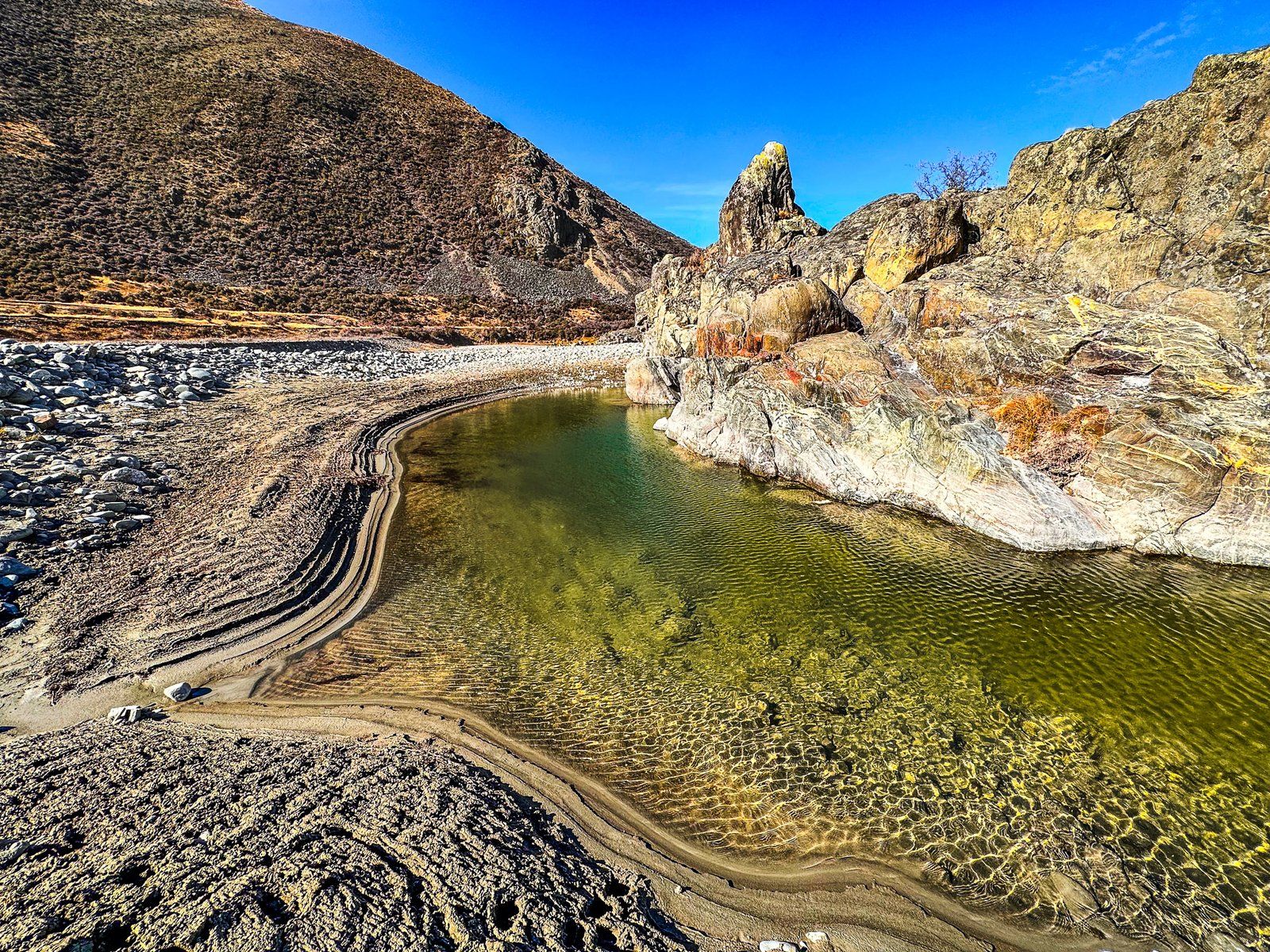
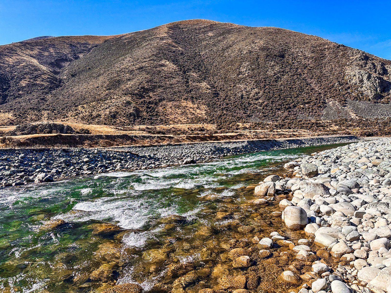
Several easy access points to the River from Birchwood Road in the Ahuriri Valley exist. The best are near the start of the road, at the Ireland Road Bridge and shortly after the Ben Avon Wetlands on the border of Ahuriri Conservation Park.