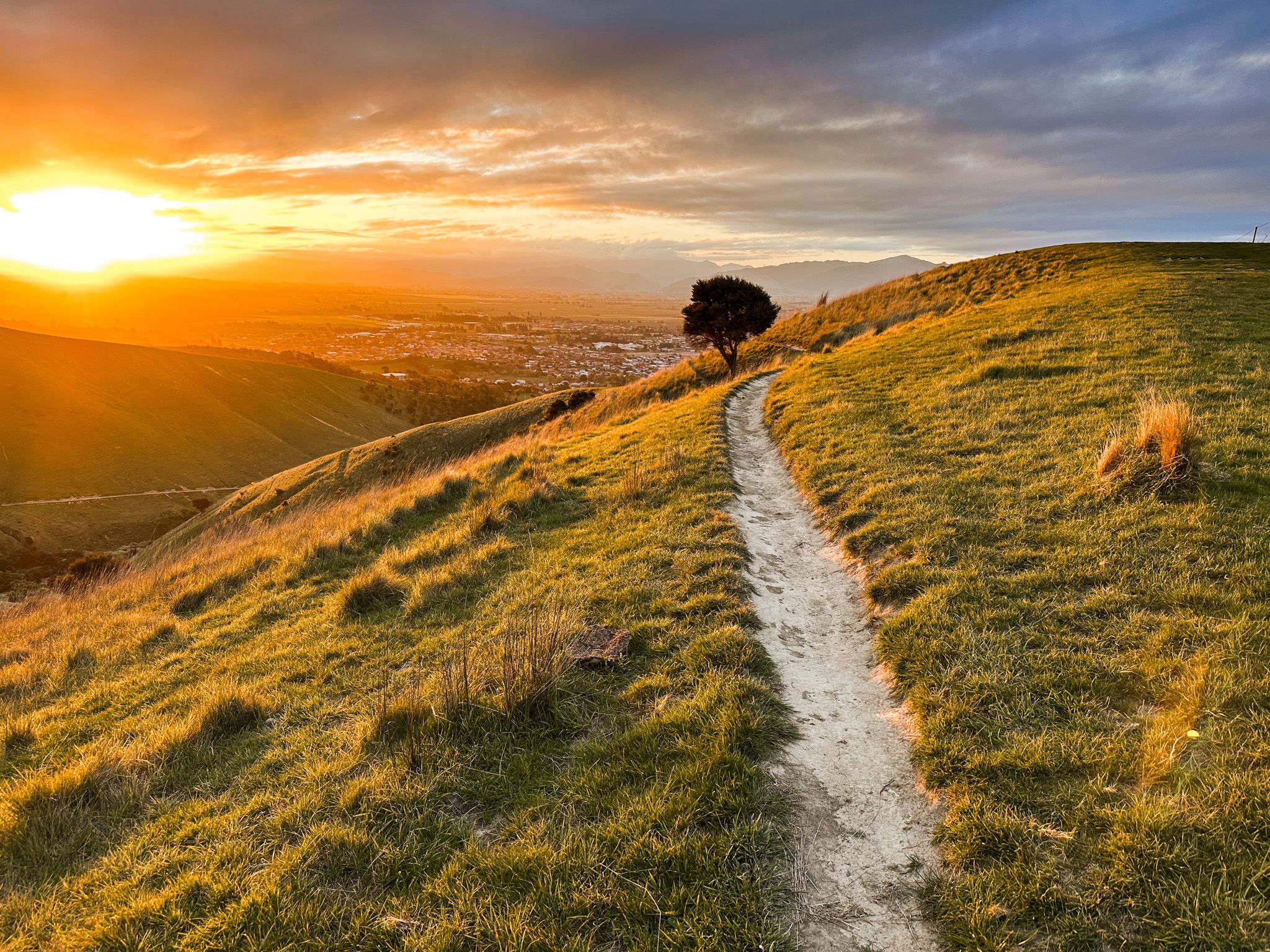
A Panorama Above Wairau Valley
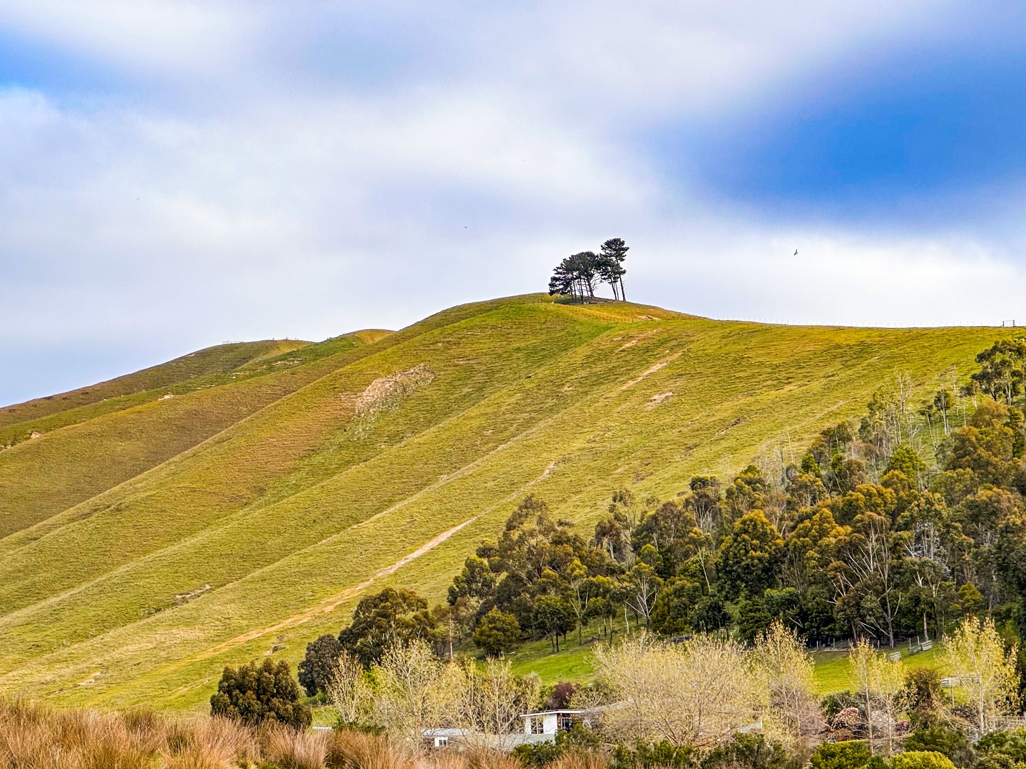
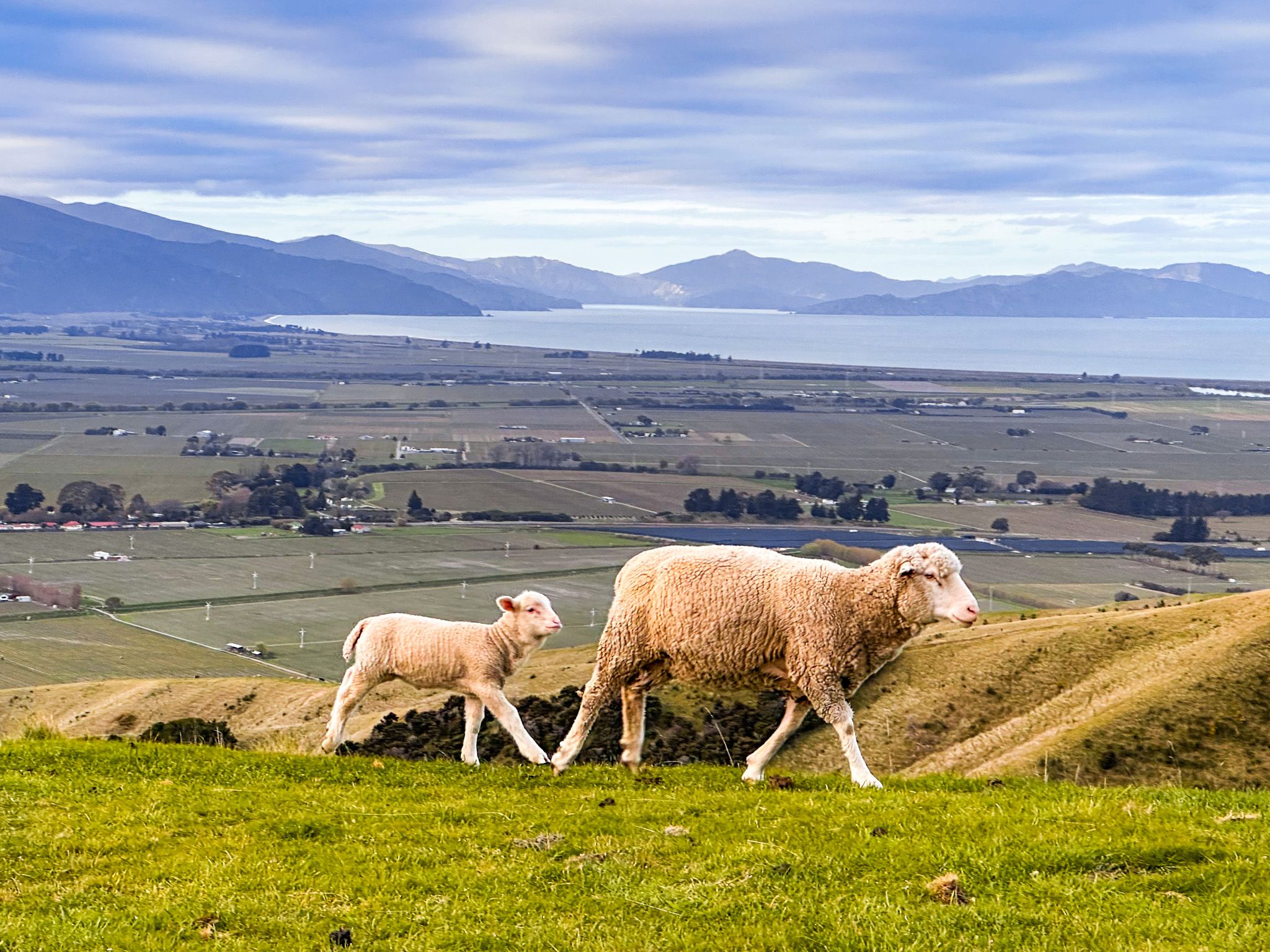
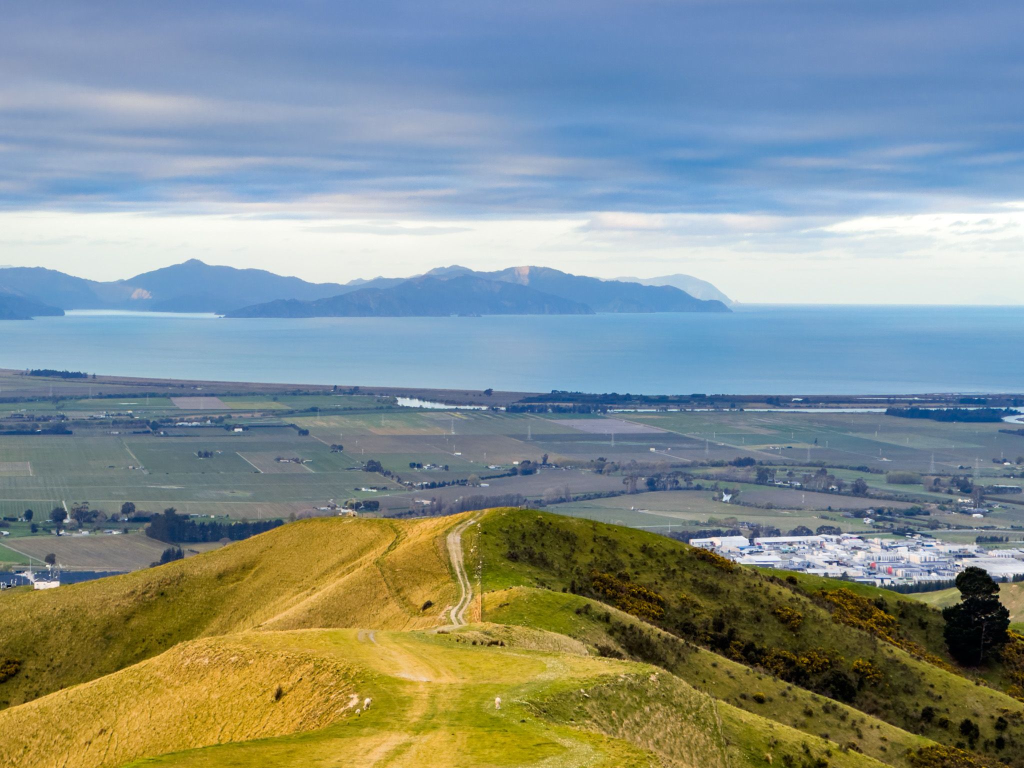
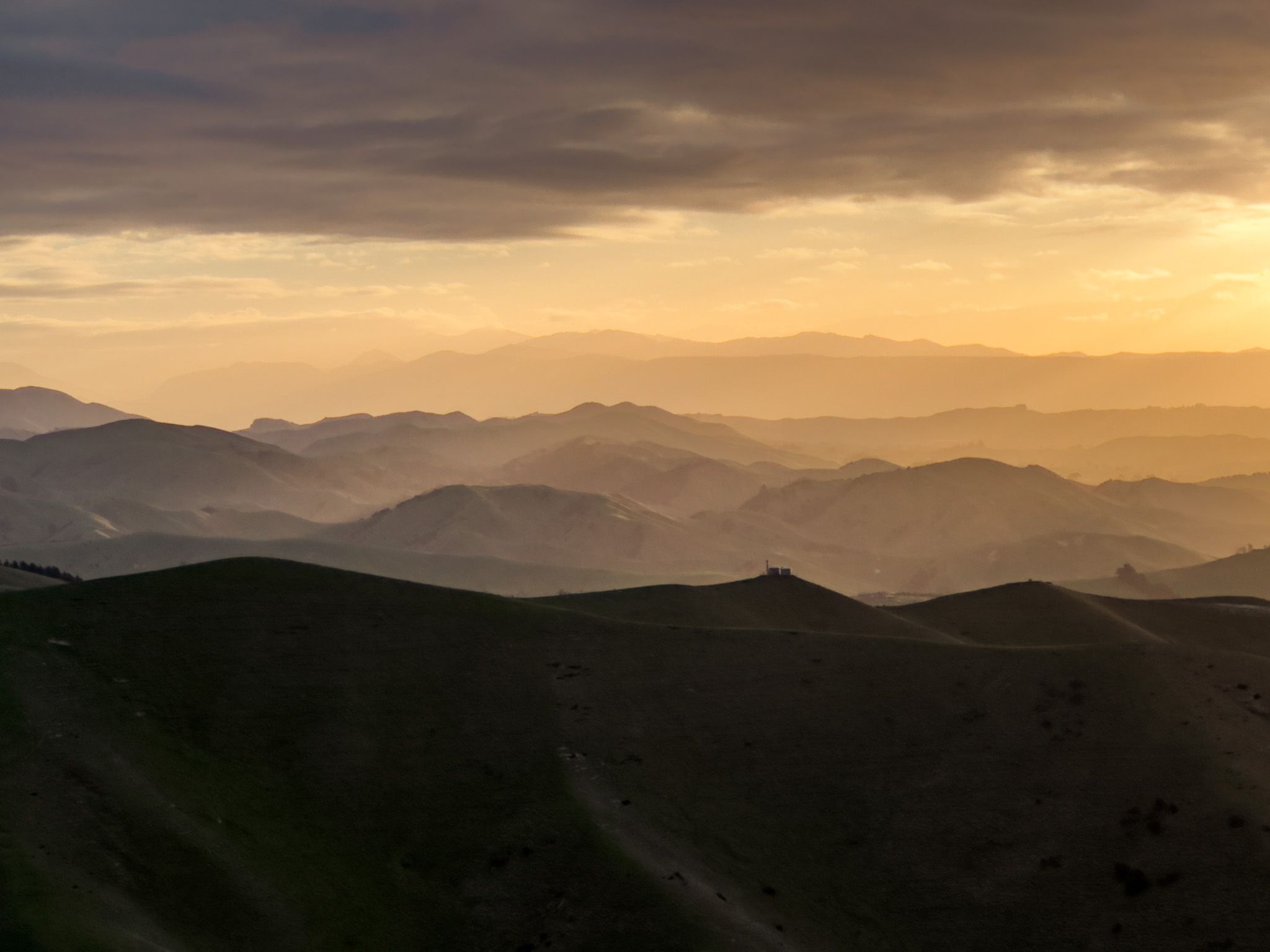
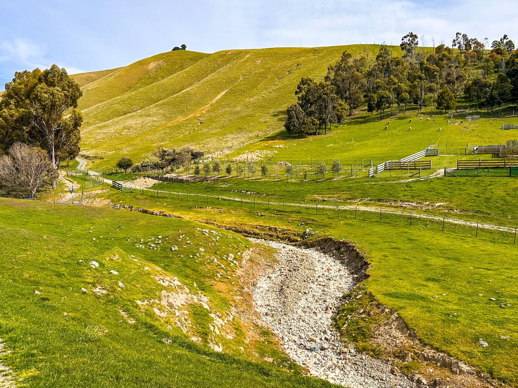
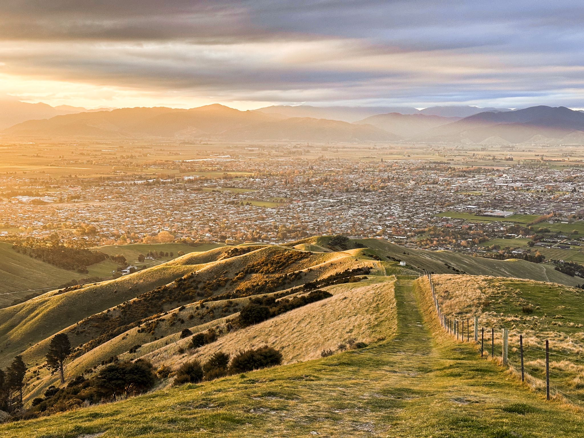
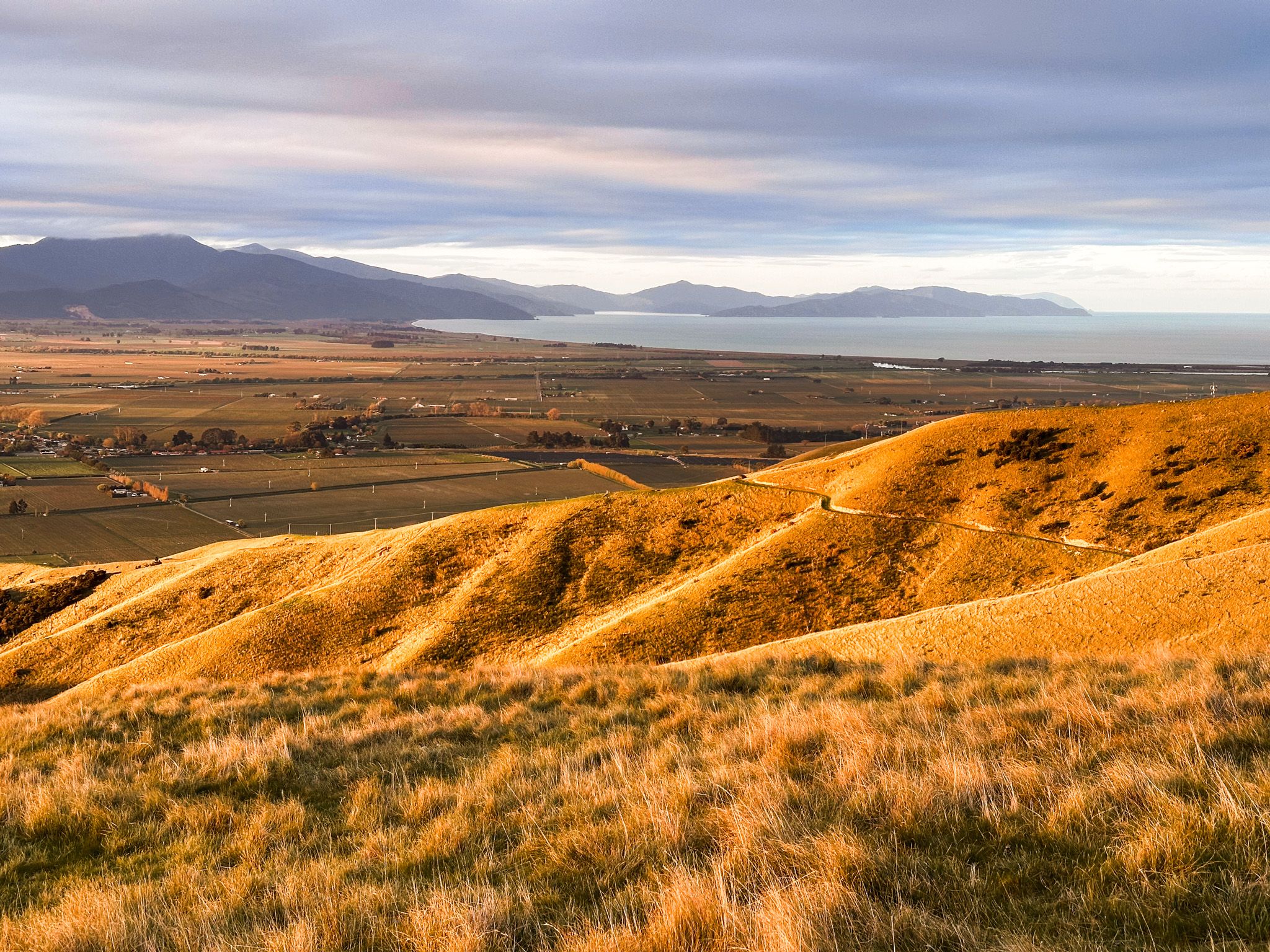
Wither Hills Farm Park stretches along the southern rim of Blenheim, providing sweeping views across the Wairau Valley and out toward Te Koko o Kupe / Cloudy Bay. The hills are steep with deep gullies, rising to 422 metres at the peak of Mount Vernon. From the ridgelines and peaks, the views are largely uninterrupted, and you’ll see layered hills and ranges that glow in the evening light, creating superb opportunities for photography.
Mt Vernon and Southerland Stream Loop
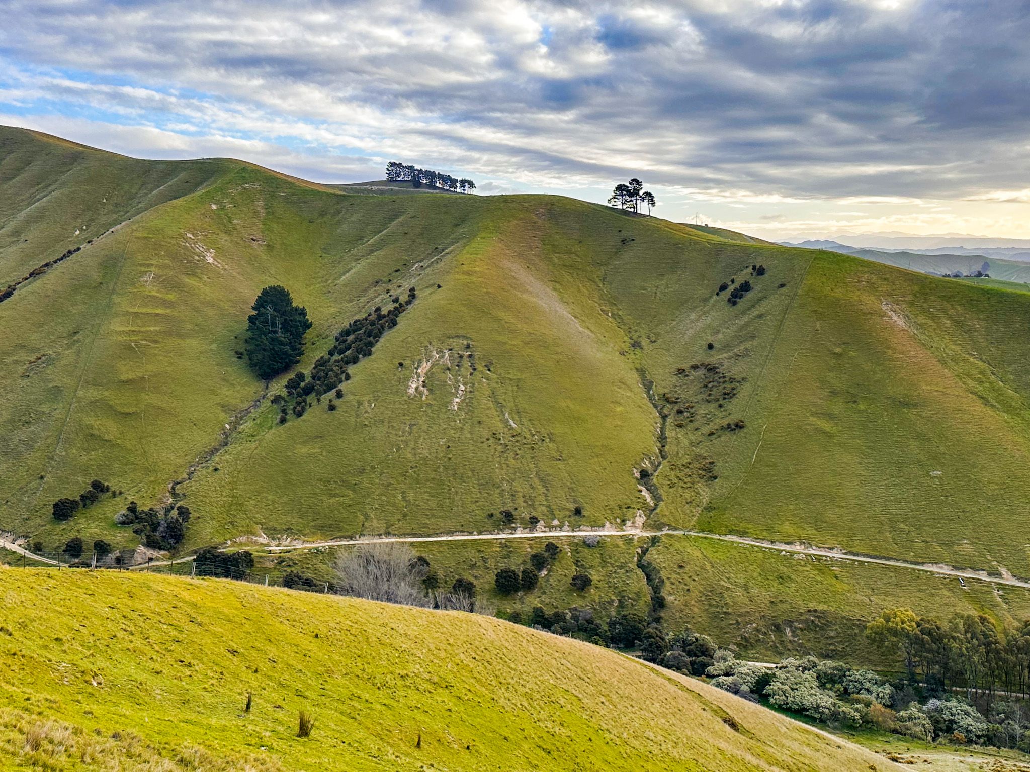
One of the most popular routes is a loop that combines the Southerland Stream Track and Mount Vernon Track. Beginning from the Redwood Road carpark, the Southerland route gently climbs a deep valley, then connects to the ridge to Mount Vernon via steep spur tracks.
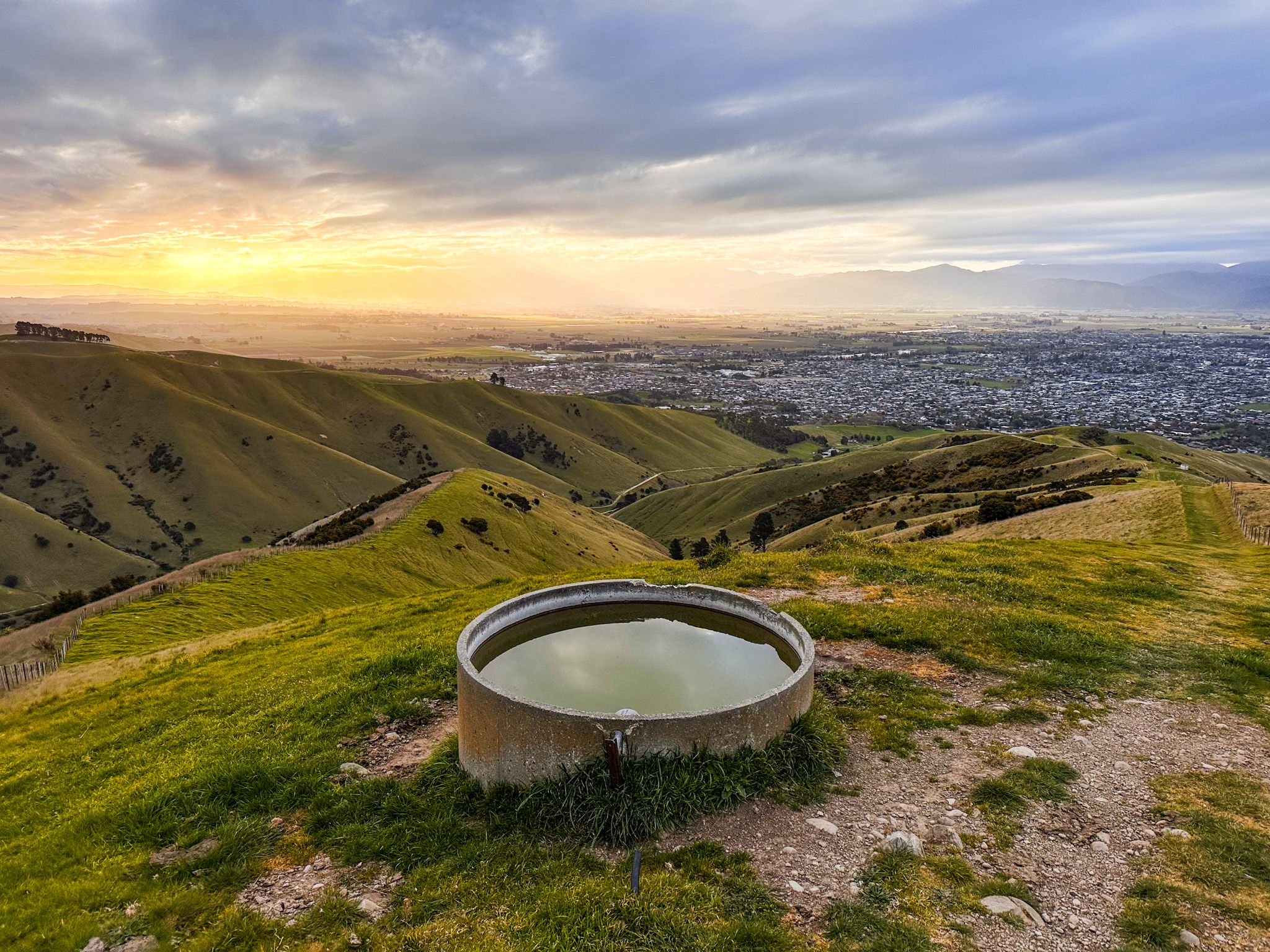
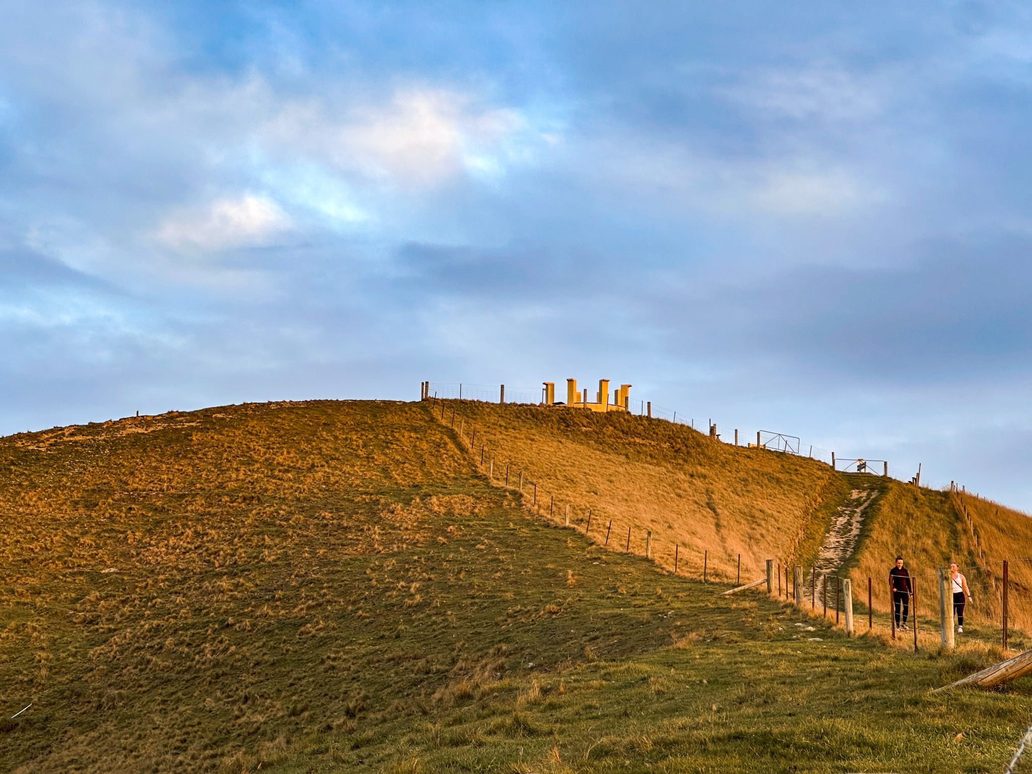
The Mt Vernon section is a lot steeper from the outset. It leads you up an open, exposed ridge with expansive views. After an hour, a formal viewpoint with an unusual design and explanatory panels is reached, shortly before the peak of Mount Vernon. From the ridge, the views to Cloudy Bay, across the valley to the Richmond Ranges and south down the multilayered hills to the Kaikōura Ranges are outstanding.
The total circuit takes approximately 3–4 hours, depending on your pace and side trips. The contours of the range and open grass slopes make this an especially memorable walk in late afternoon and evening light.
From Pasture to Farm Park
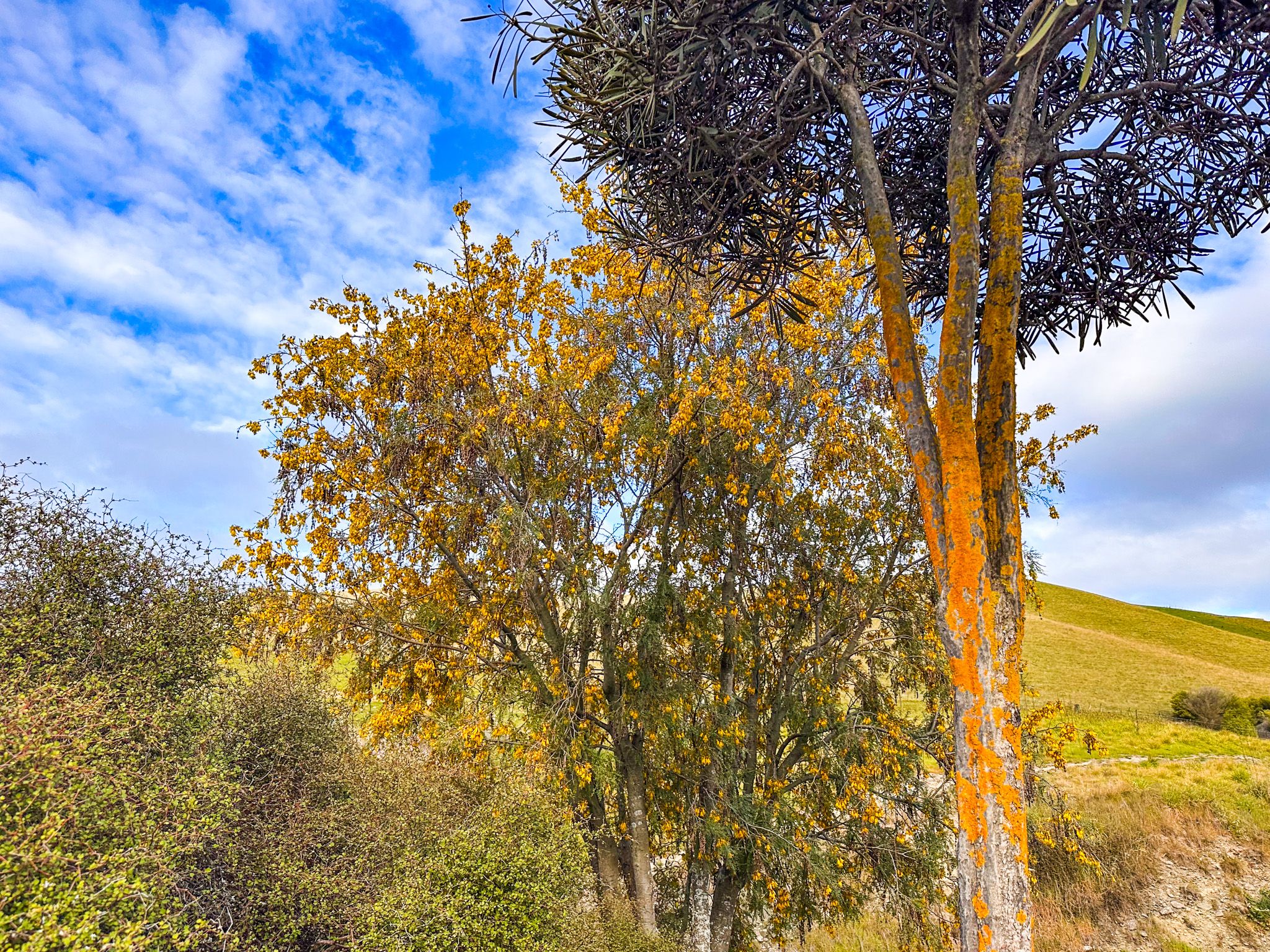
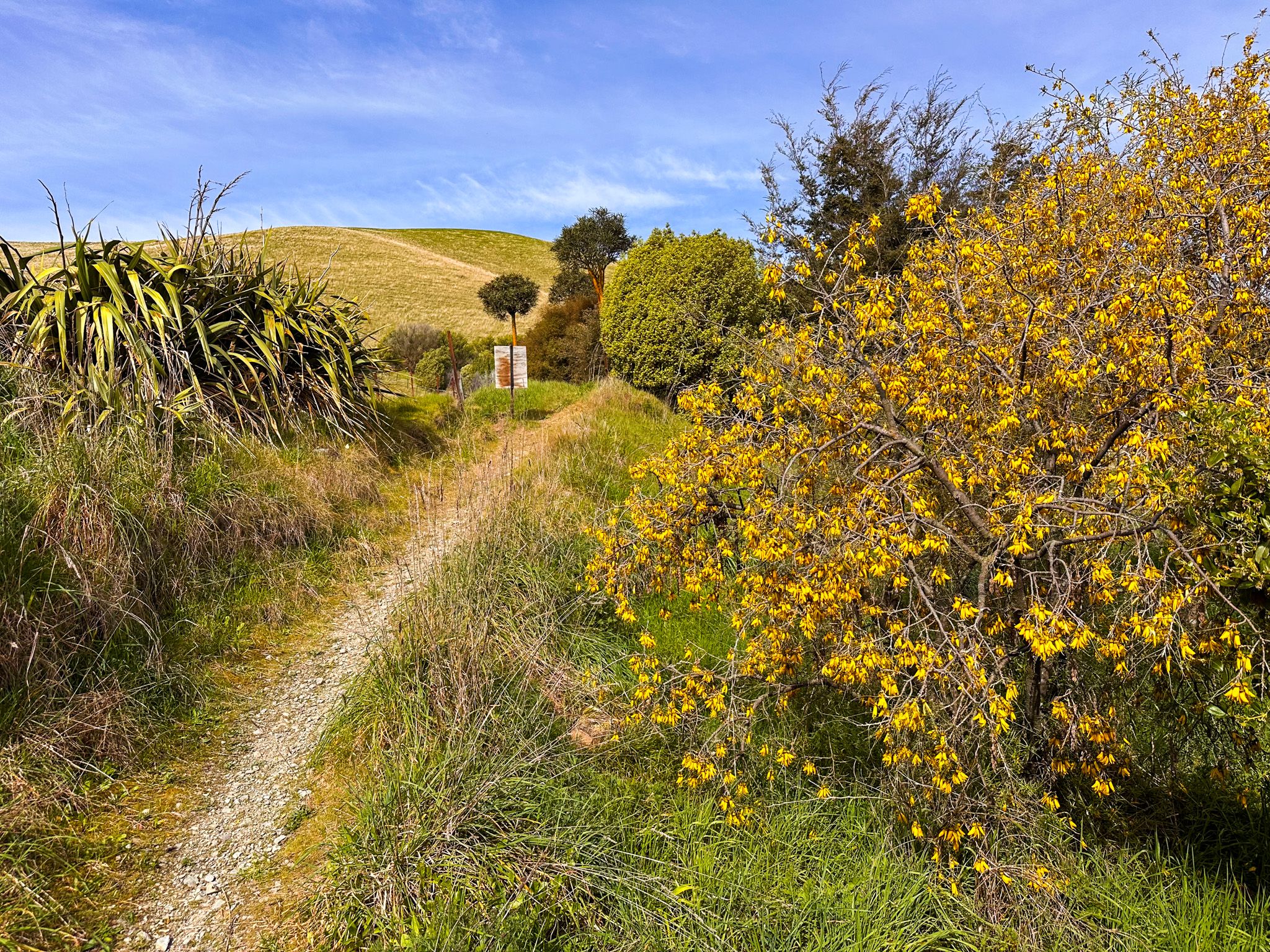
Before Europeans arrived, the hills were primarily covered in tussock grass, reflecting the region's dry conditions. They were quickly taken over for sheep grazing, with tussock being displaced by grass, and the hills were named after an early European landowner, Charles Wither.
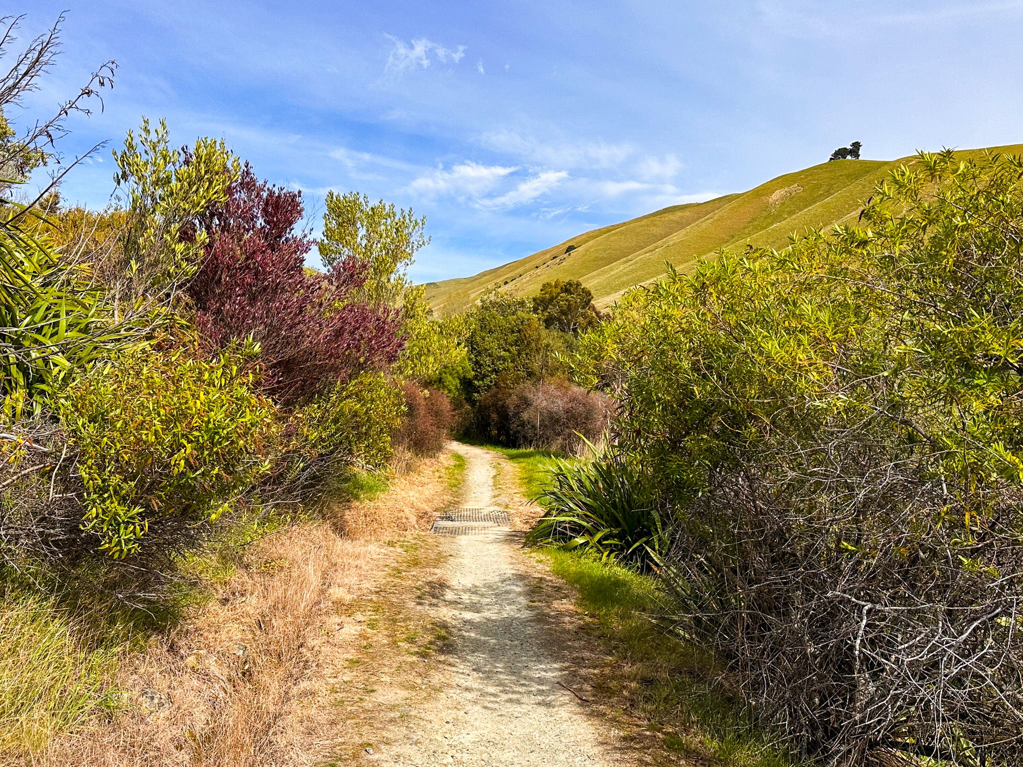
Ultimately, this resulted in significant erosion problems with large areas of denuded land being acquired by the local council. However, management has improved, and today the park is a working sheep and cattle farm alongside more than 60 km of public trails. Recent decades have seen a shift toward conservation, with planting projects supporting the regeneration of native species in gullies and improved protection of topsoil around hills. Native plants such as flax, cabbage trees, and mānuka have been re-established in gullies, attracting korimako and tūī.
Getting There
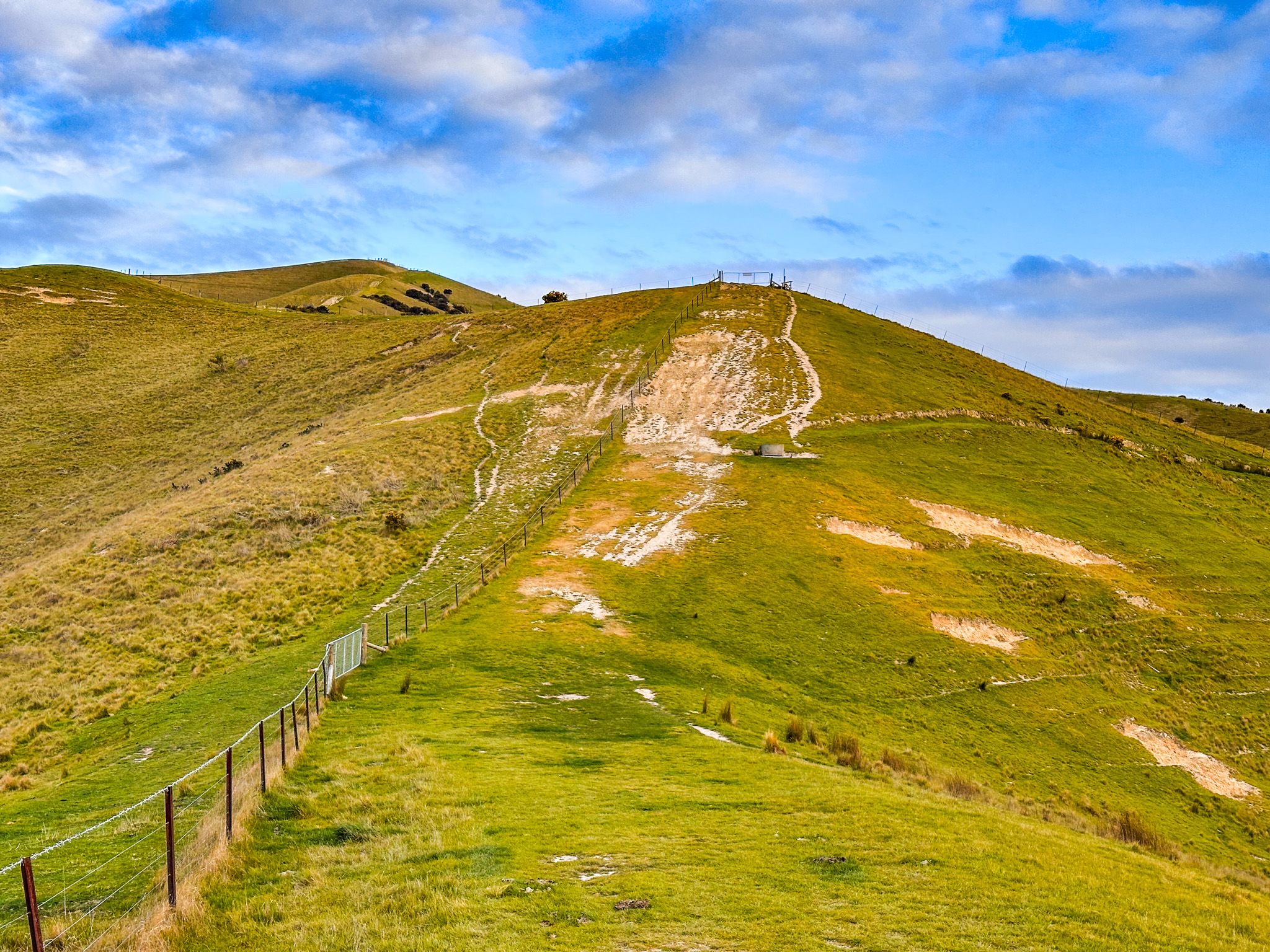
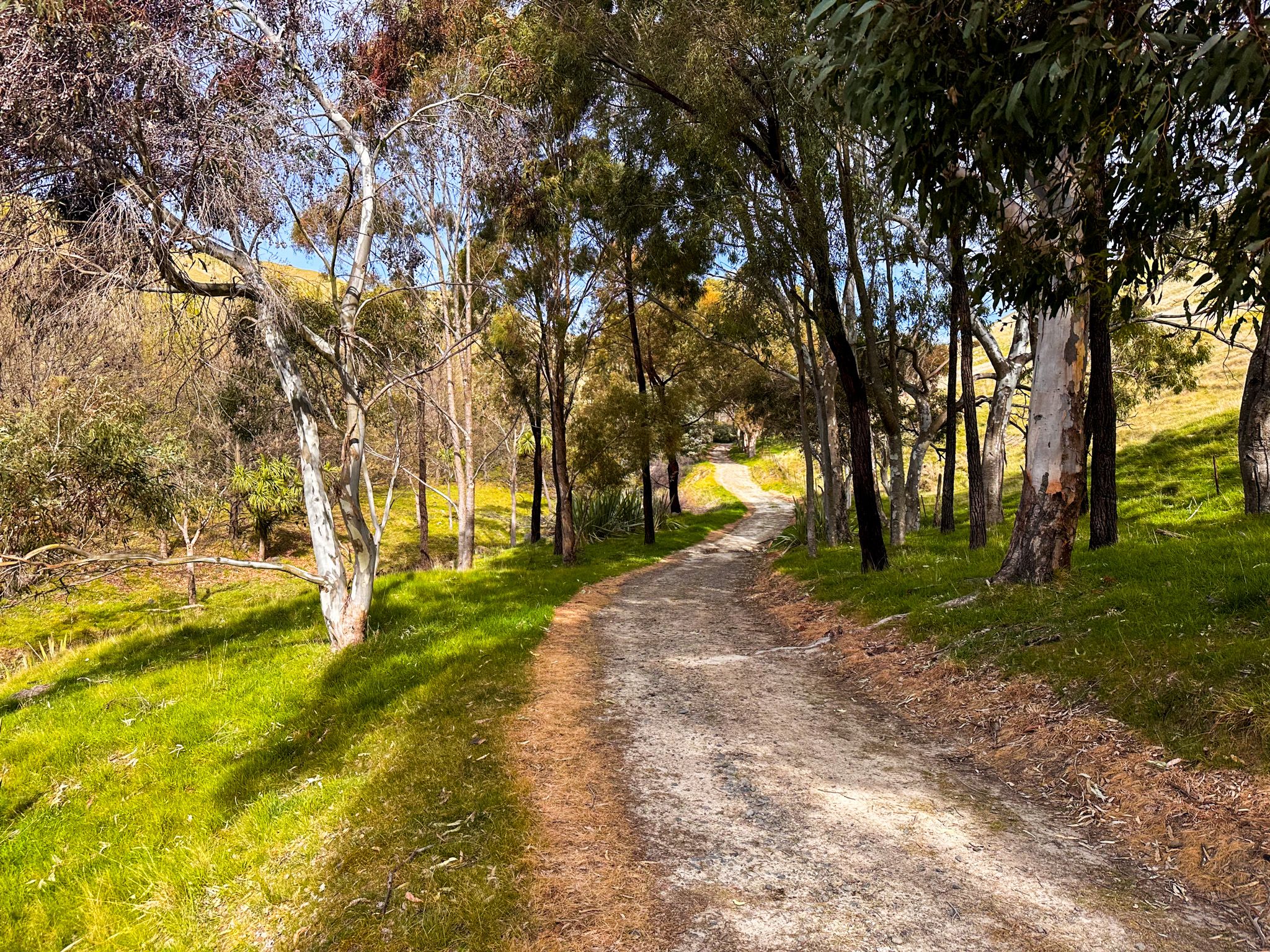
To access the Wither Hills from central Blenheim, drive south along Redwood Street until it climbs into the hills. Allow 10–15 minutes, and the car park is on the left at the end of the road. The Sutherland Stream Track heads up the valley in front of the car park, and the Mount Vernon Track veers around the northern end of the hill to the left, before starting its steep ascent. There is clear track signage at junctions.
There are also entrances to the track network, with parking available at Rifle Range Place (off Taylor Pass Road), Quail Stream, and Forest Park Drive.
There are many other activities around the region. The Taylor Dam and Taylor River Walk through Blenheim and the Wairau Lagoons are more sedate walking options. Rārangi Beach in Cloudy Bay is rugged and rough, while nearby Pukatea / Whites Bay is perfect for swimming. Further afield are the Enchanted Lookout and Lake Chalice Track as introductions to the Richmond Ranges. And, of course, there are the wineries and cafes!