Exploring Whakakaiwhara Pā Walk in Duder Regional Park
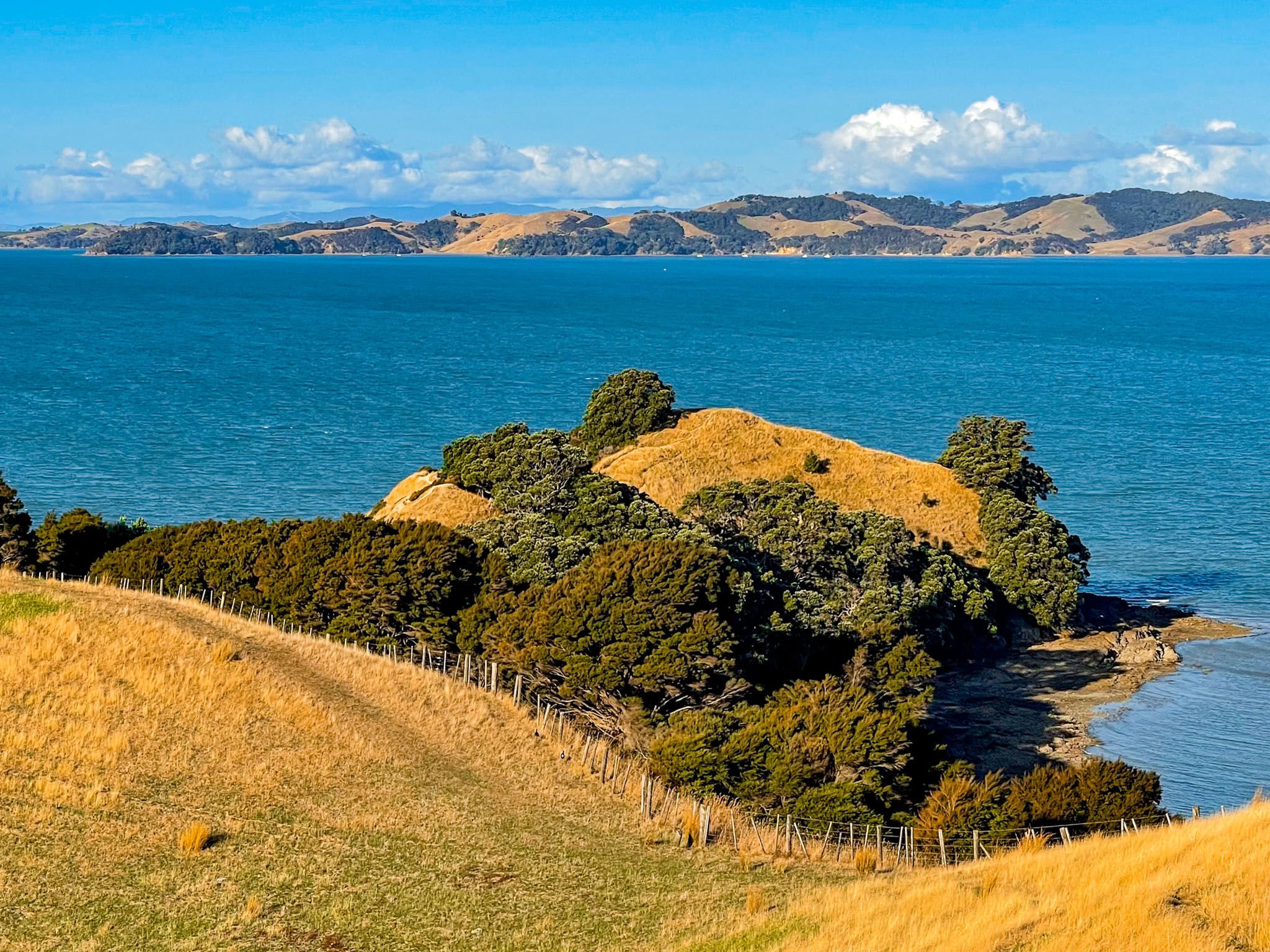
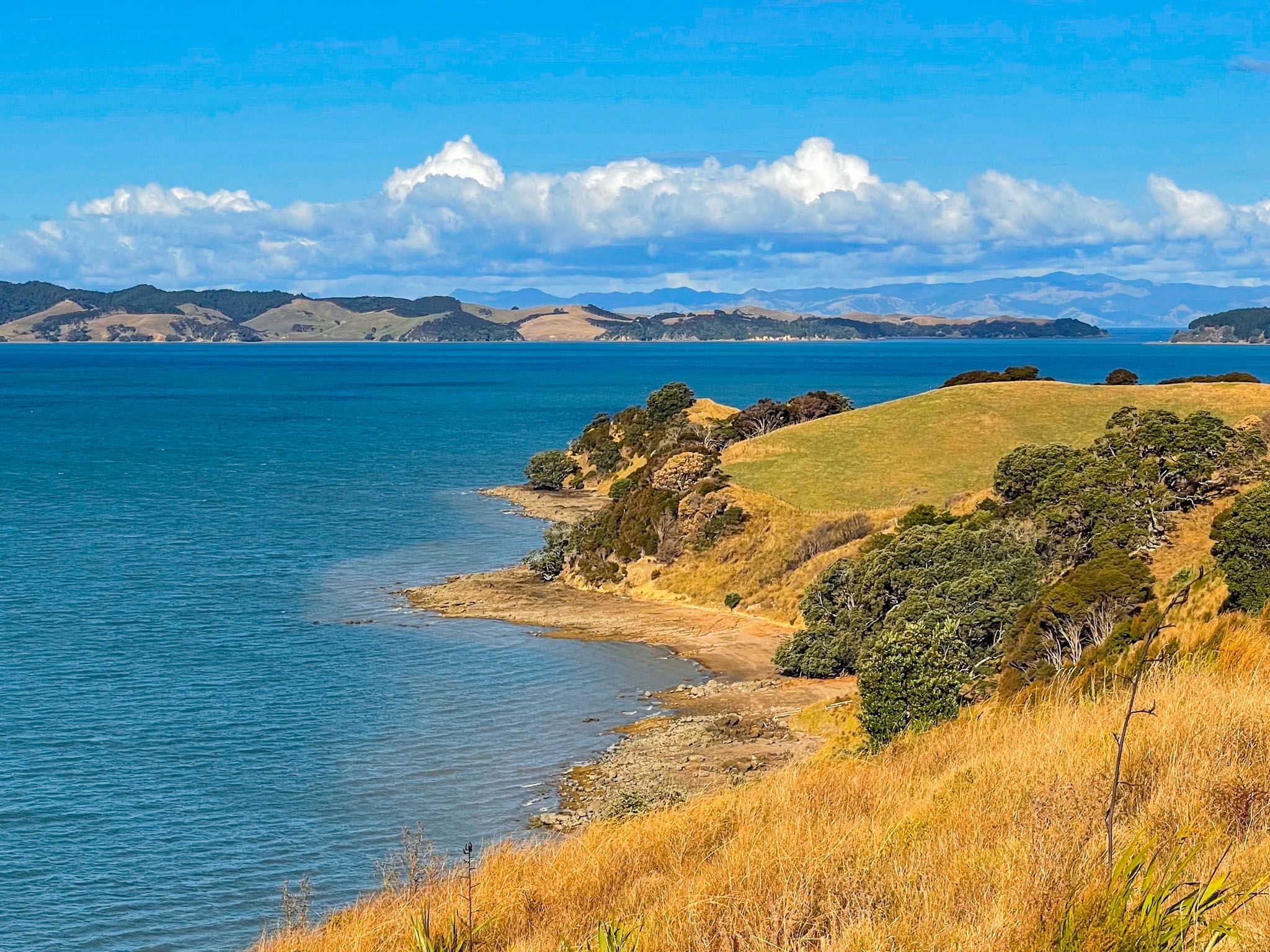
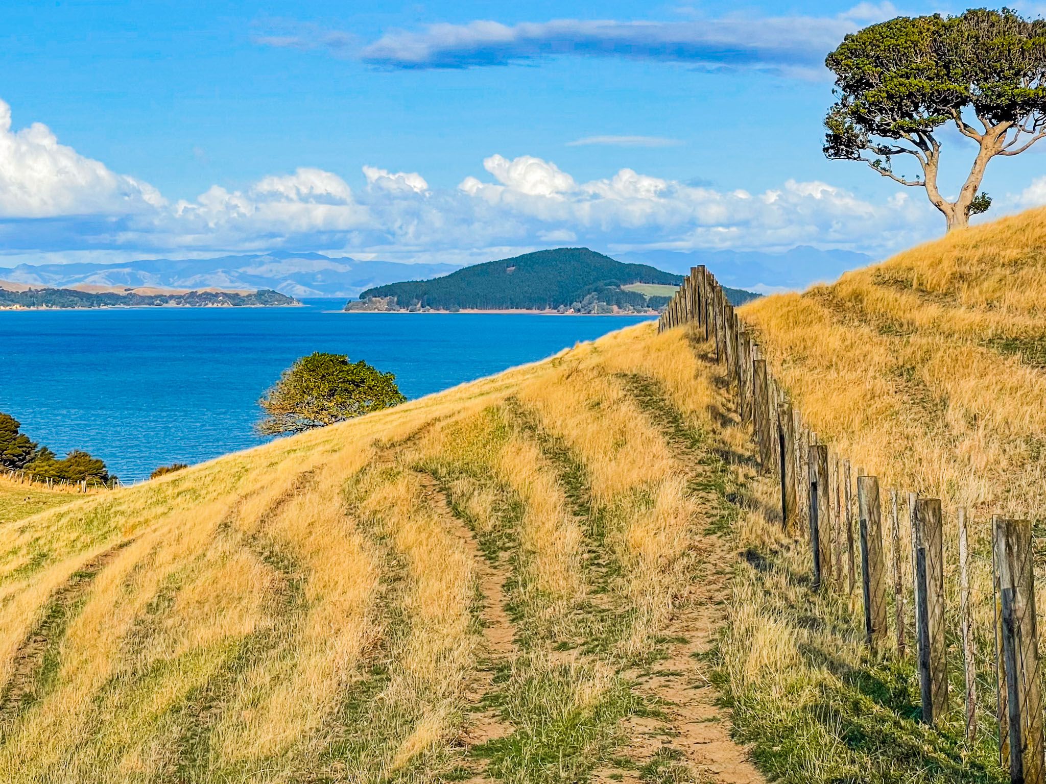
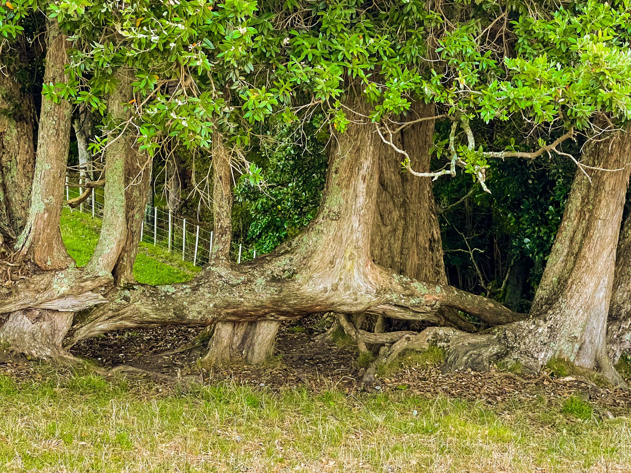
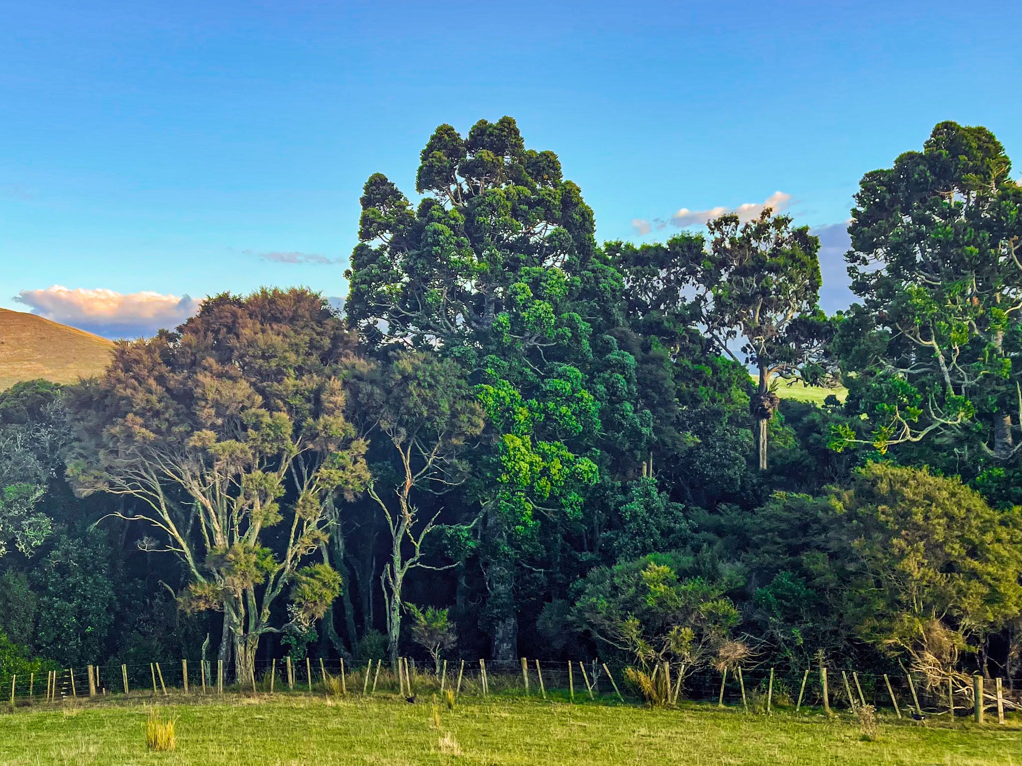
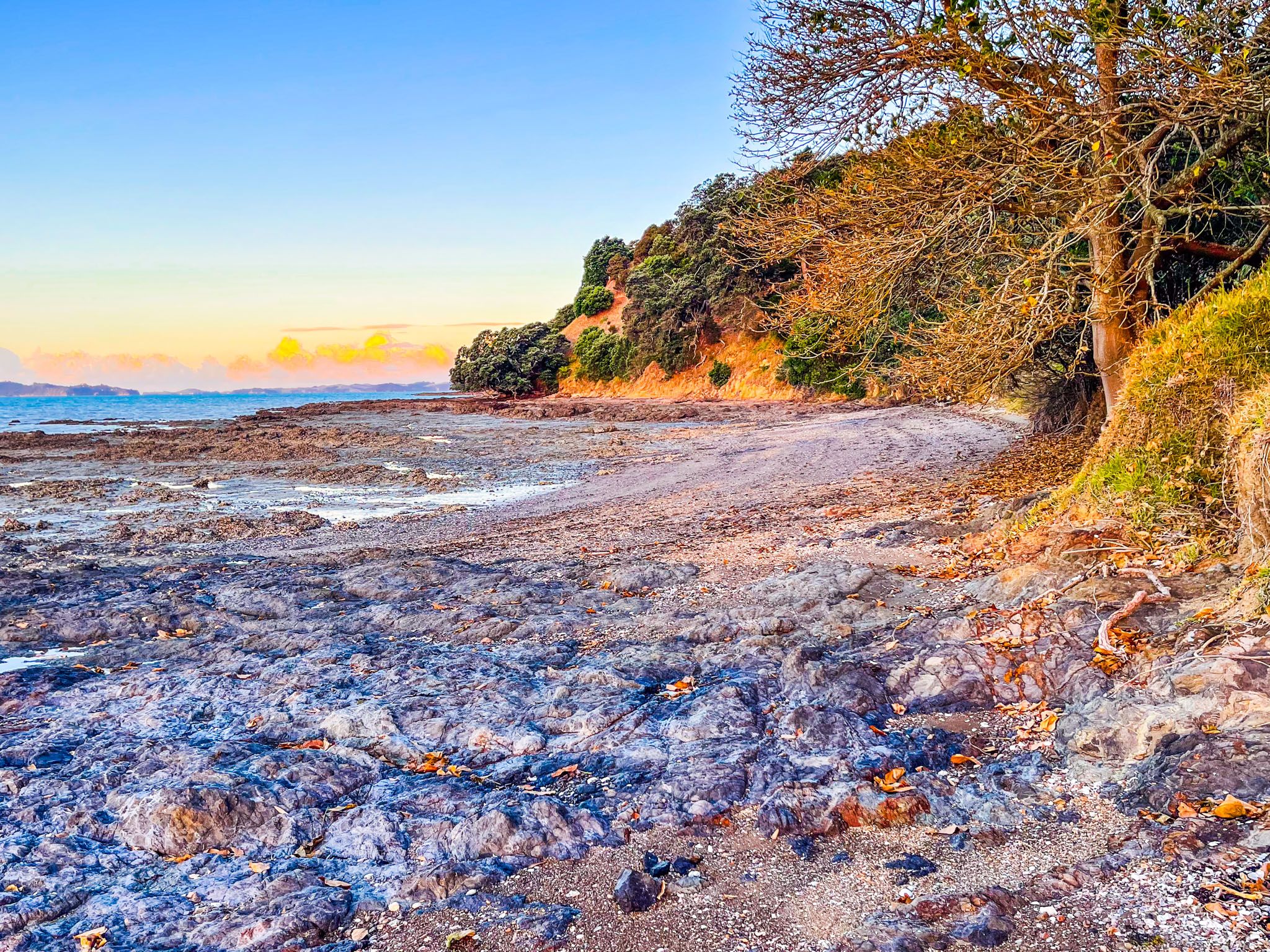
Whakakaiwhara Pā Walk, located on Whakakaiwhara Point in Duder Regional Park on the Pōhutukawa Coast of Auckland, offers a unique hiking experience. This walk provides scenic views and historical significance, as it traverses grass-covered rolling hills and concludes along a steep ridge at the peninsula's tip, where remnants of a former pā, including a protective trench, are visible.
Breathtaking Views and Historical Significance
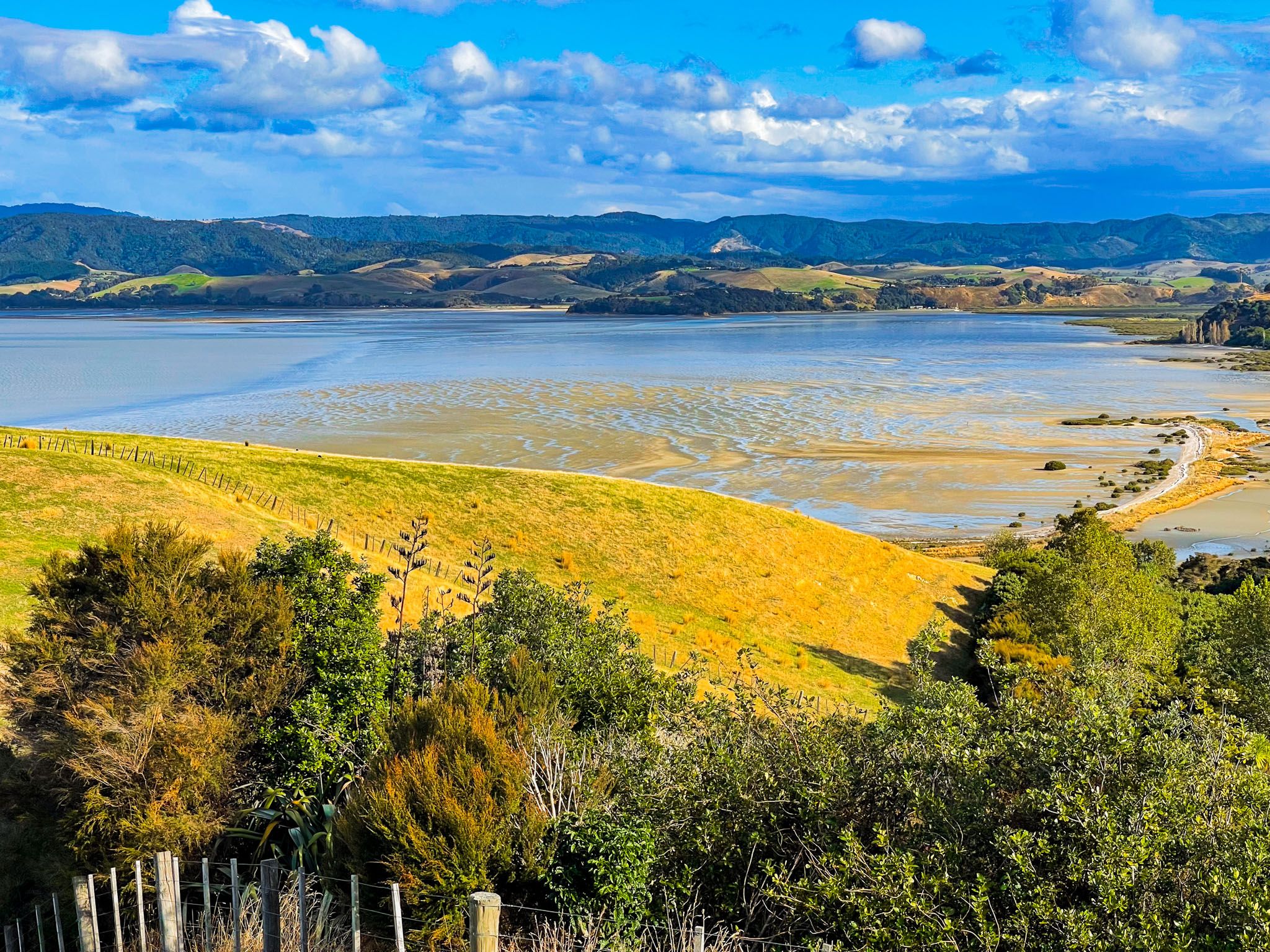
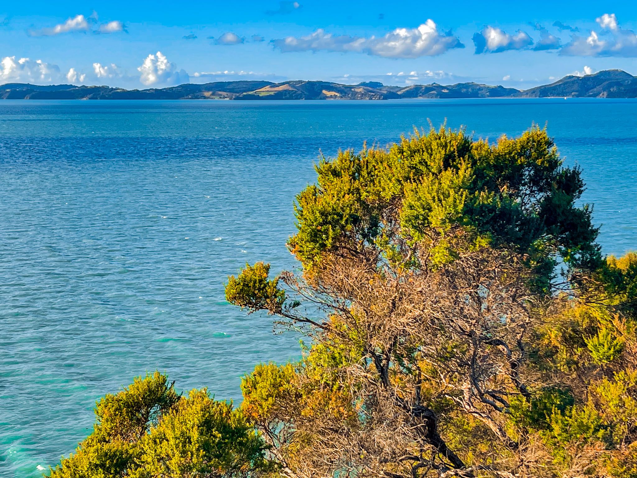
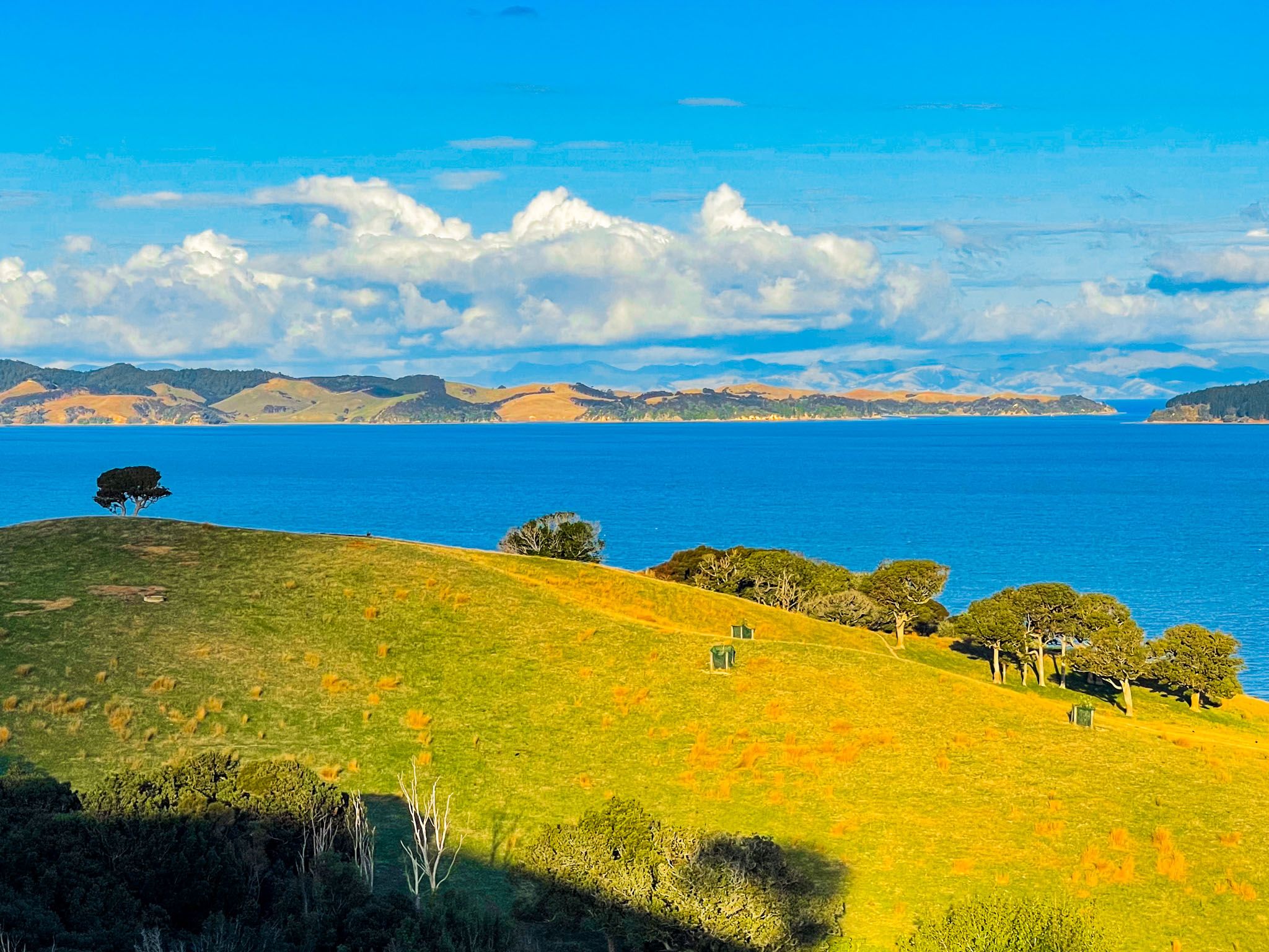
The walk provides uninterrupted views throughout, especially when crossing the high ridge towards the peninsula's tip. From here, you can see Ponui Island and the Coromandel to the northeast, with Waiheke Island to the north across the Tāmaki Strait. To the southeast, the view extends along the peninsula's east coast to Wairoa Bay and Mātaitai Bay in Waitawa Regional Park.
Trail Options and Duration
There are multiple ways to access the Whakakaiwhara Pā Walk. From the car park off North Road, you can choose the Farm Loop, the track via Te Wharau Bay, or the Sustainable Trail. Alternatively, starting from the end of Maraetai Coast Road at Umupuia Beach, you can walk along the coast on the peninsula's east side until you find a track leading up to the walk.
These options can be combined to form a loop that covers most of the park. The return trip from the main car park takes approximately 2.5 to 3 hours, while starting from the end of Umupuia Beach takes slightly less time.
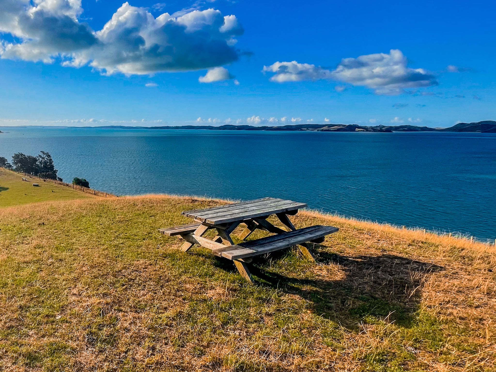
The trail is mostly grassy, with undulating terrain and some short, steep climbs. It is exposed, so weather conditions should be considered. On a pleasant day, bringing a picnic is recommended, as there is ample space at the tip.
How to Get There
Duders Park is located on the Whakakaiwhara Peninsula and is accessible from Maraetai Coast Road from Maraetai, or on North Road from Clevedon.
Nearby, Clevedon Scenic Reserve, Omana Regional Park, Maraetai, Waiomanu Beach and Magazine Bay provide additional scenic spots and walking tracks to explore.