Discover Trotters Gorge
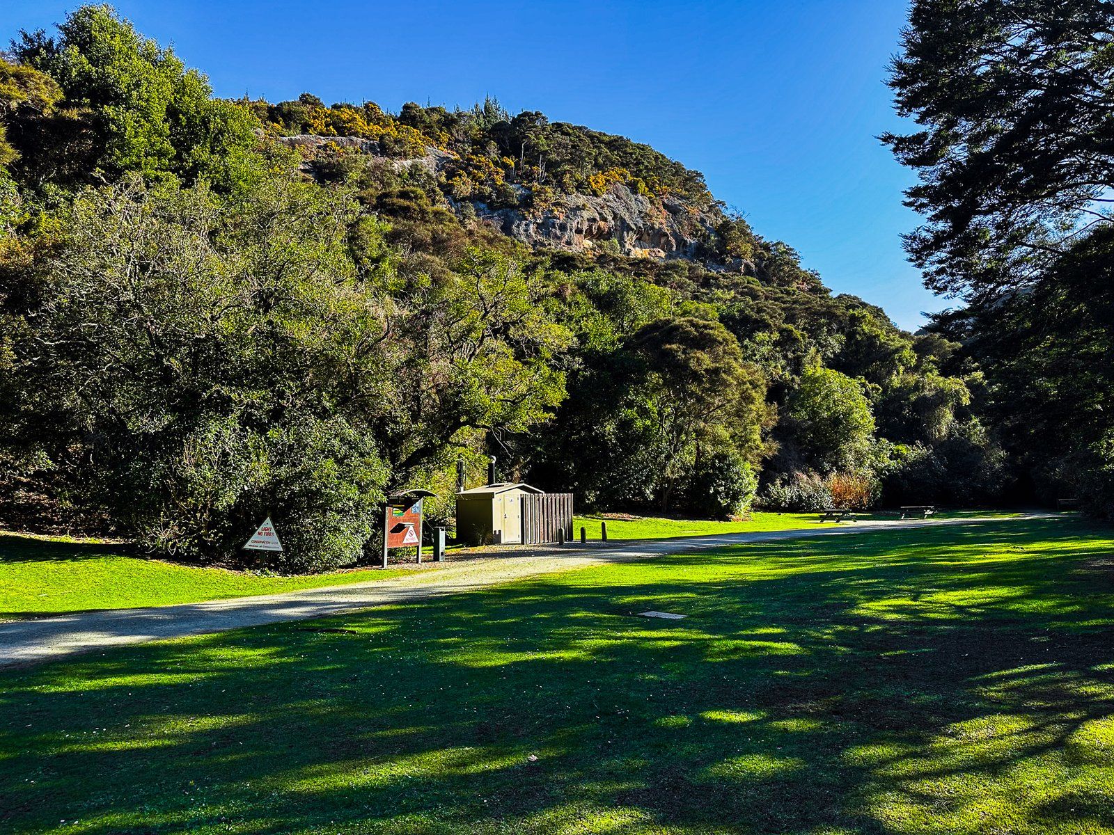
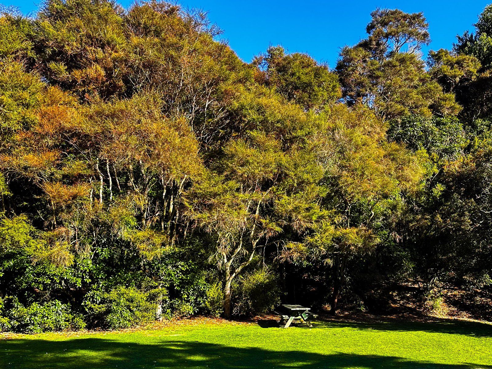
Located on the North Otago Coast, Trotters Gorge is a captivating destination for hikers and campers. This DOC campground is nestled within a regenerating native forest alongside Trotter Stream. The gorge features several signposted walking tracks ranging from 30 minutes to two hours, as well as other walks waiting to be discovered.
Walking Tracks and Natural Features
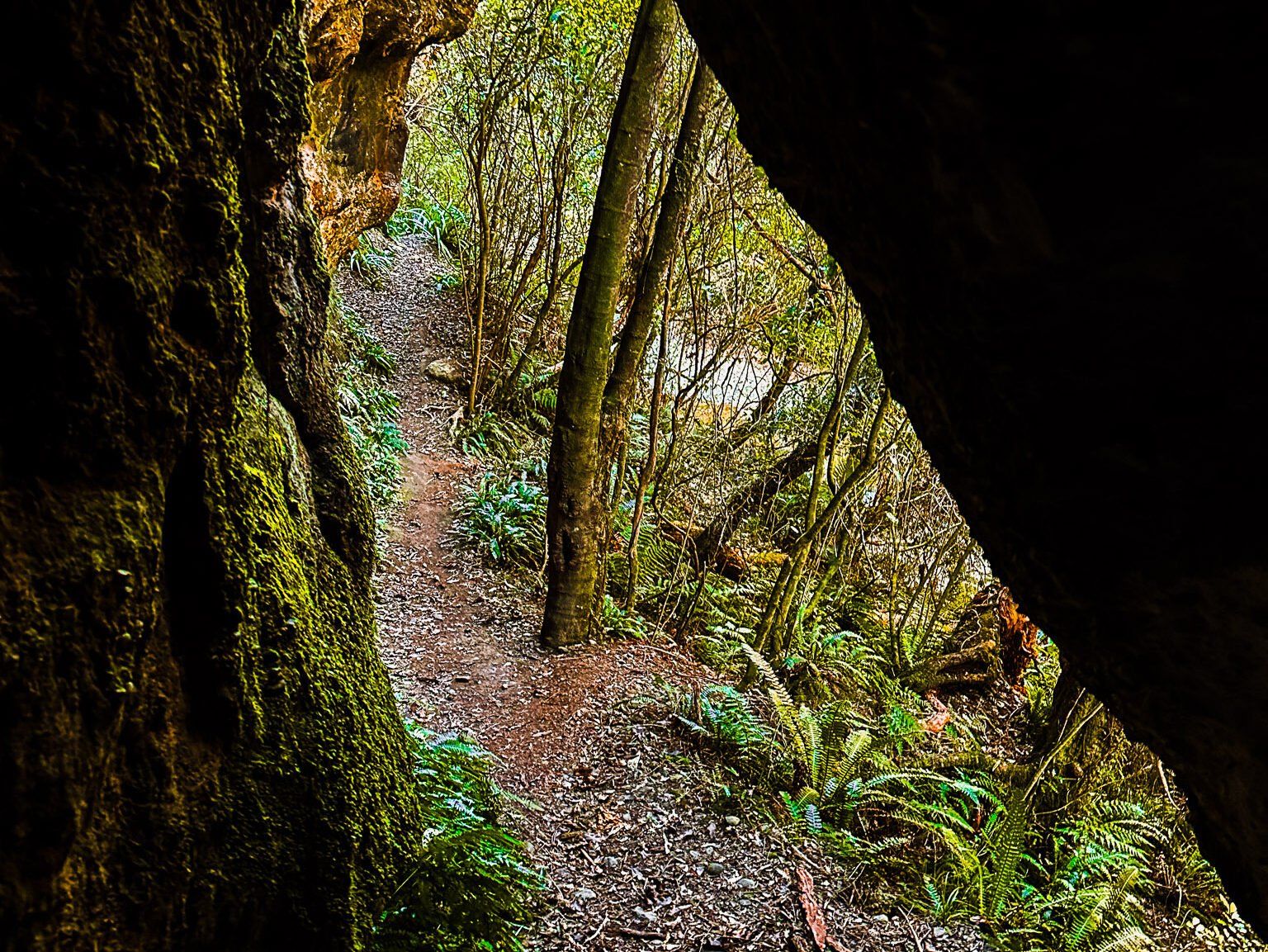
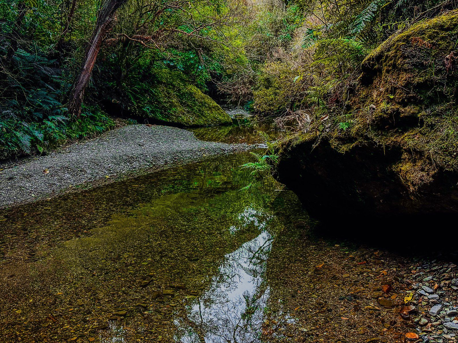
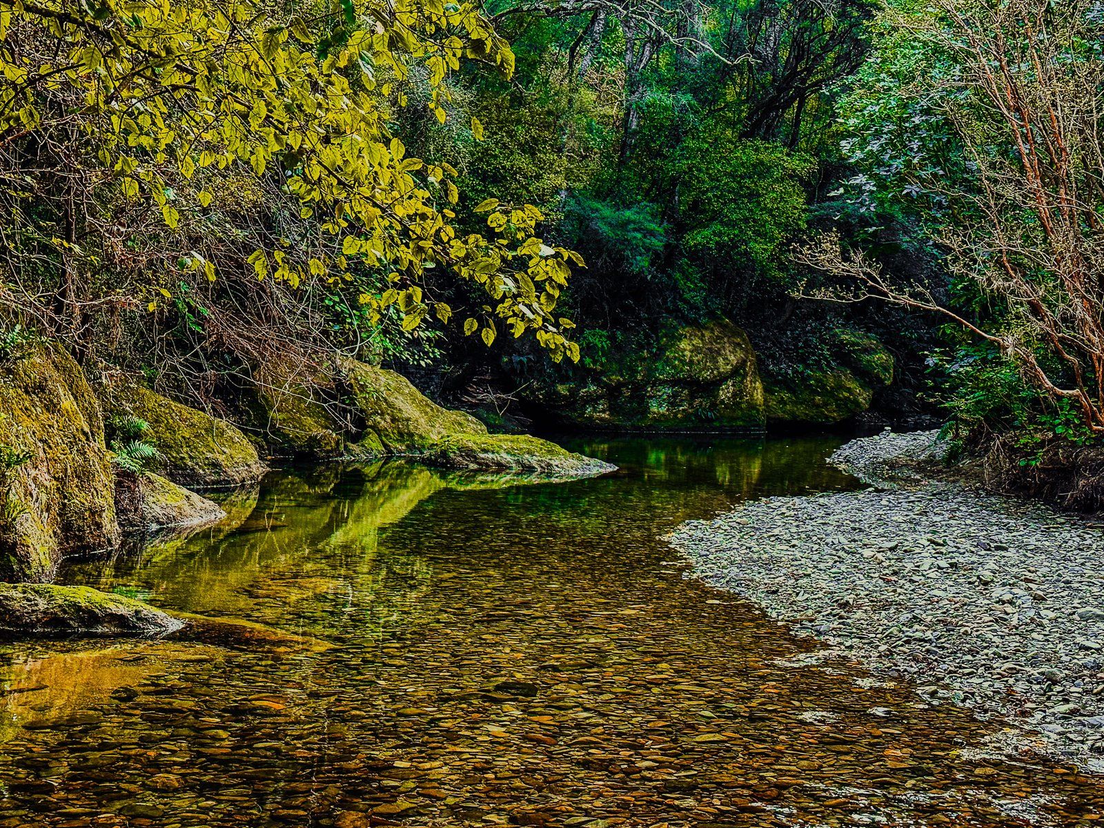
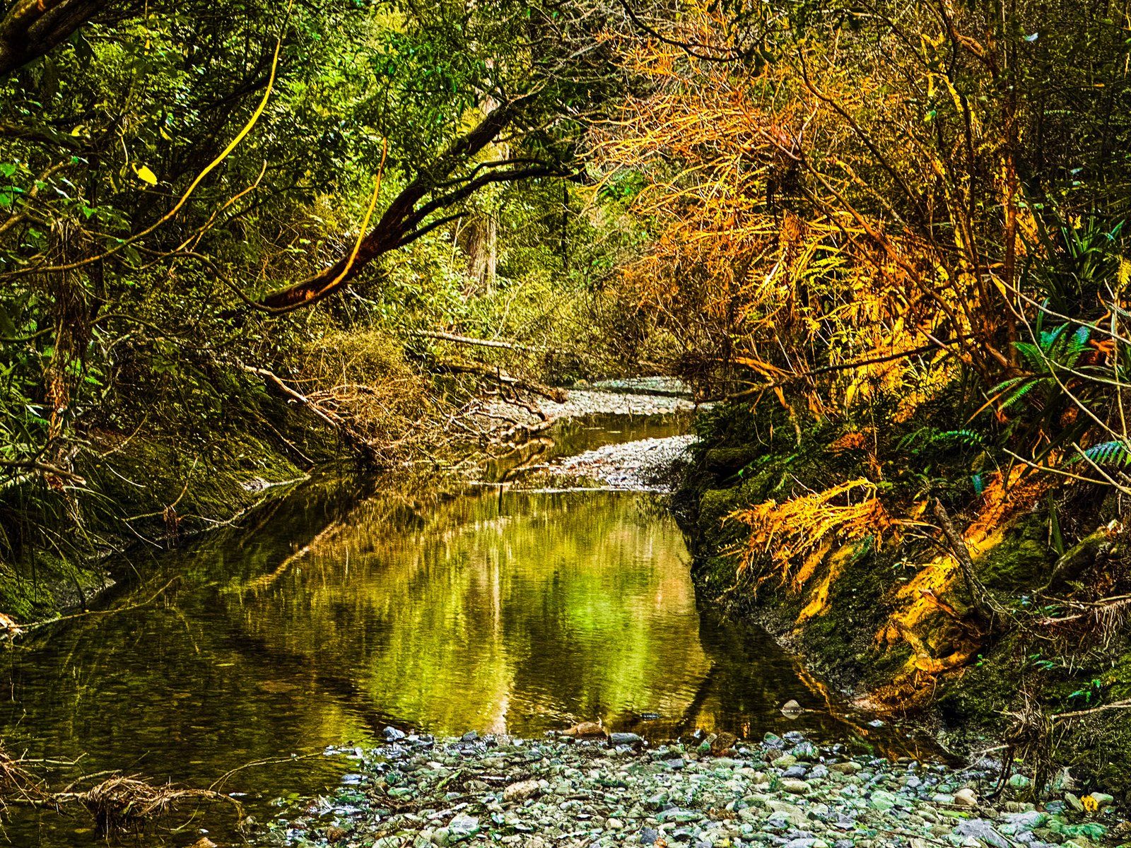
The first walking track at Trotters Gorge follows the stream, leading you to caves and further into the gorge, including stream crossings. Another option is a track that ascends to the top of the gorge bluffs, providing sweeping views of the coast. For a less obvious route, a short walk opposite the campsite on the north side of the stream takes you below the gorge bluff and features a small natural arch.
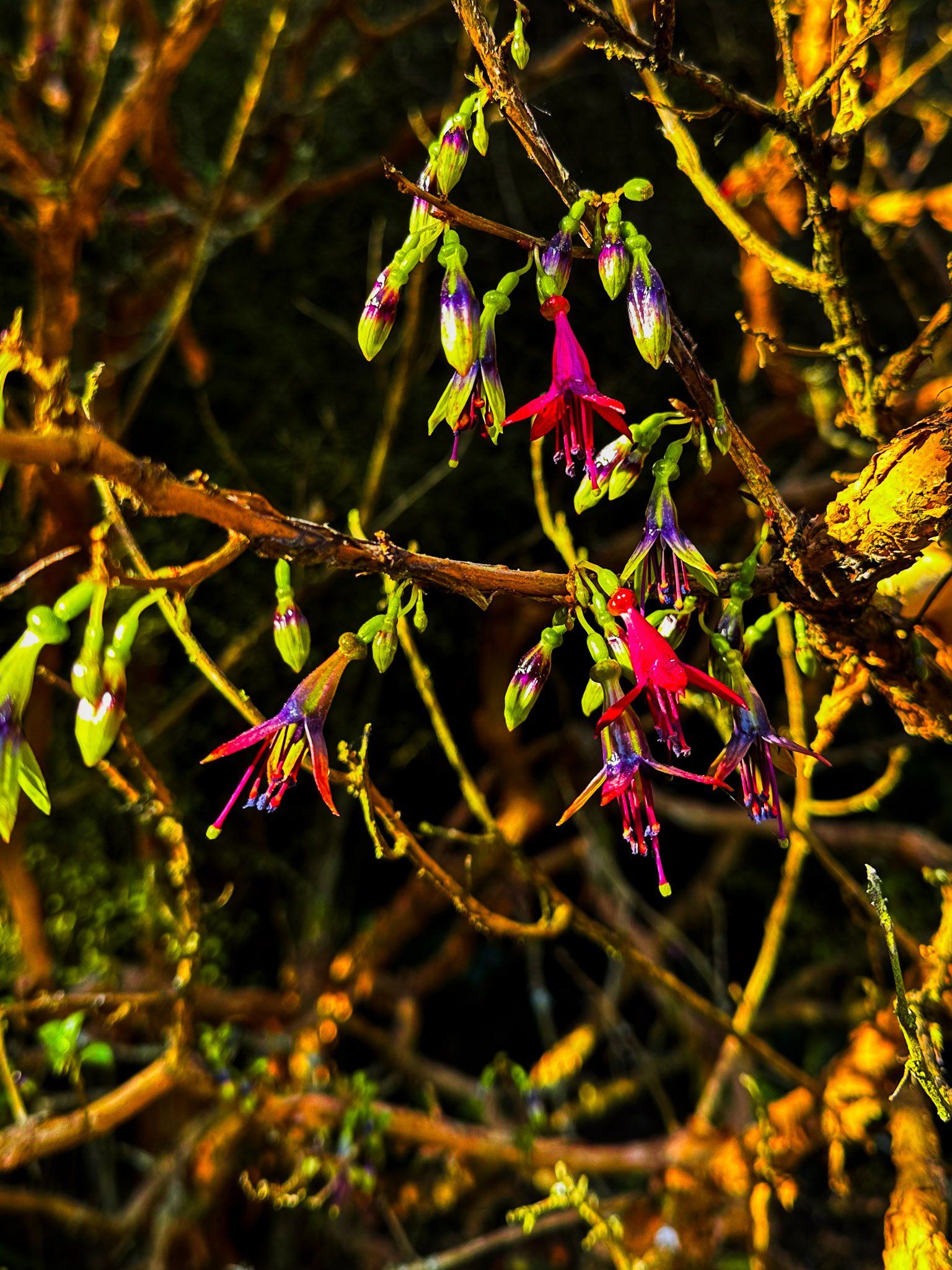
In early spring, the forest margins around the campsite are adorned with kōtukutuku (native tree fuchsia) and kōwhai, adding vibrant colours to the landscape.
Geological Significance of the Horse Range
Trotters Gorge is part of the Horse Range, a geologically ancient area even by Otago standards. As New Zealand separated from the supercontinent Gondwana, braided rivers shaped the landscape, depositing layers of sediment between 88 million and 112 million years ago. These sediments, now reaching heights of up to 400 metres, form the Horse Range. Over time, Trotters Gorge has been carved from these sediments by the persistent flow of Trotter Stream.
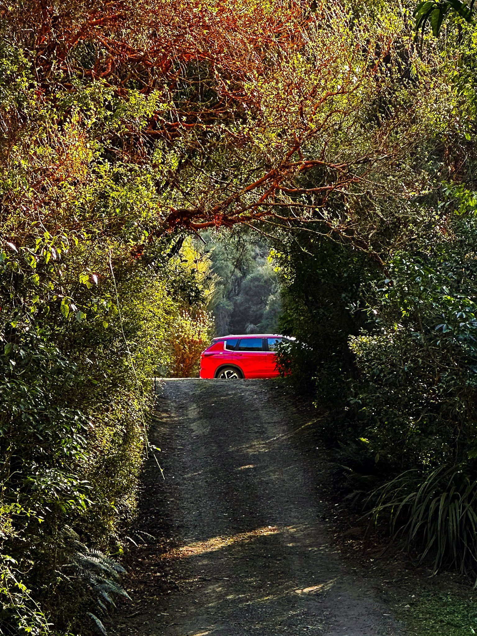
How to Get to Trotters Gorge
To reach Trotters Gorge from State Highway 1, turn onto Horse Range Road between Moeraki and Kātiki Beach. Follow this road for four kilometres, then turn right onto Trotters Gorge Road. Be aware that the vehicle entrance gate to the campsite is closed during Winter. Camping is still possible, although the grassed area may be pretty wet. The gorge is a 35-minute drive from Ōamaru and 56 minutes from Dunedin, both on State Highway 1.
Nearby places to visit include Moeraki Boulders, Kātiki Point, Shag Point and Hampden Beach.