Exploring the Top of Lake Wakatipu
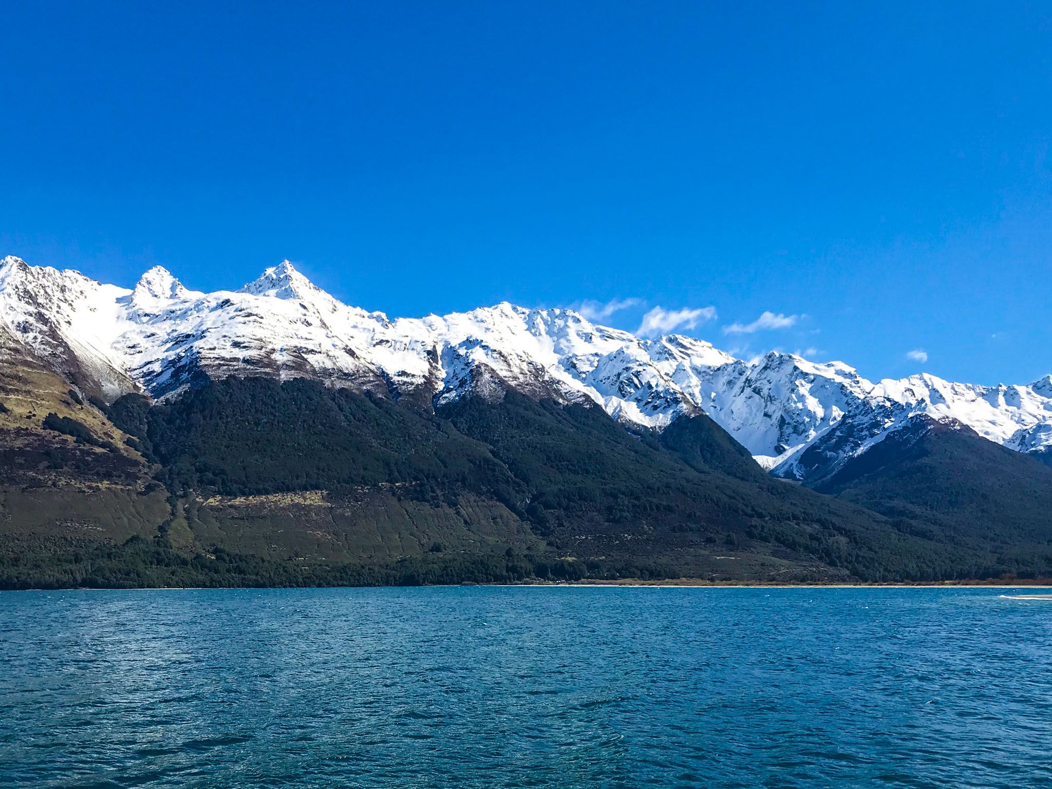
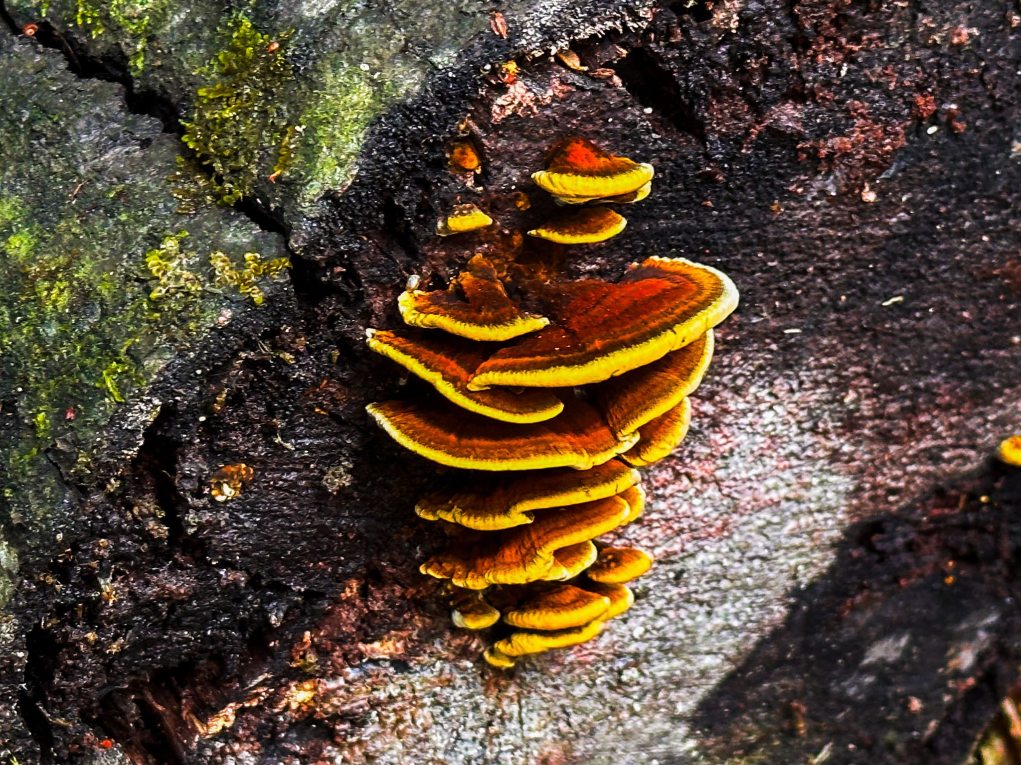
At the northern end of Lake Wakatipu, where the Dart and Rees Rivers emerge from the Southern Alps, you will find a landscape that feels like a dream. This remote area of New Zealand's South Island is a stunning blend of ancient forests, alpine peaks, pristine rivers, and reflective lakes. The region is a haven for nature enthusiasts, offering short walks, beech forests, multi-day mountain tramps, and breathtaking mountain views.
Gateway to Natural Wonders: Glenorchy
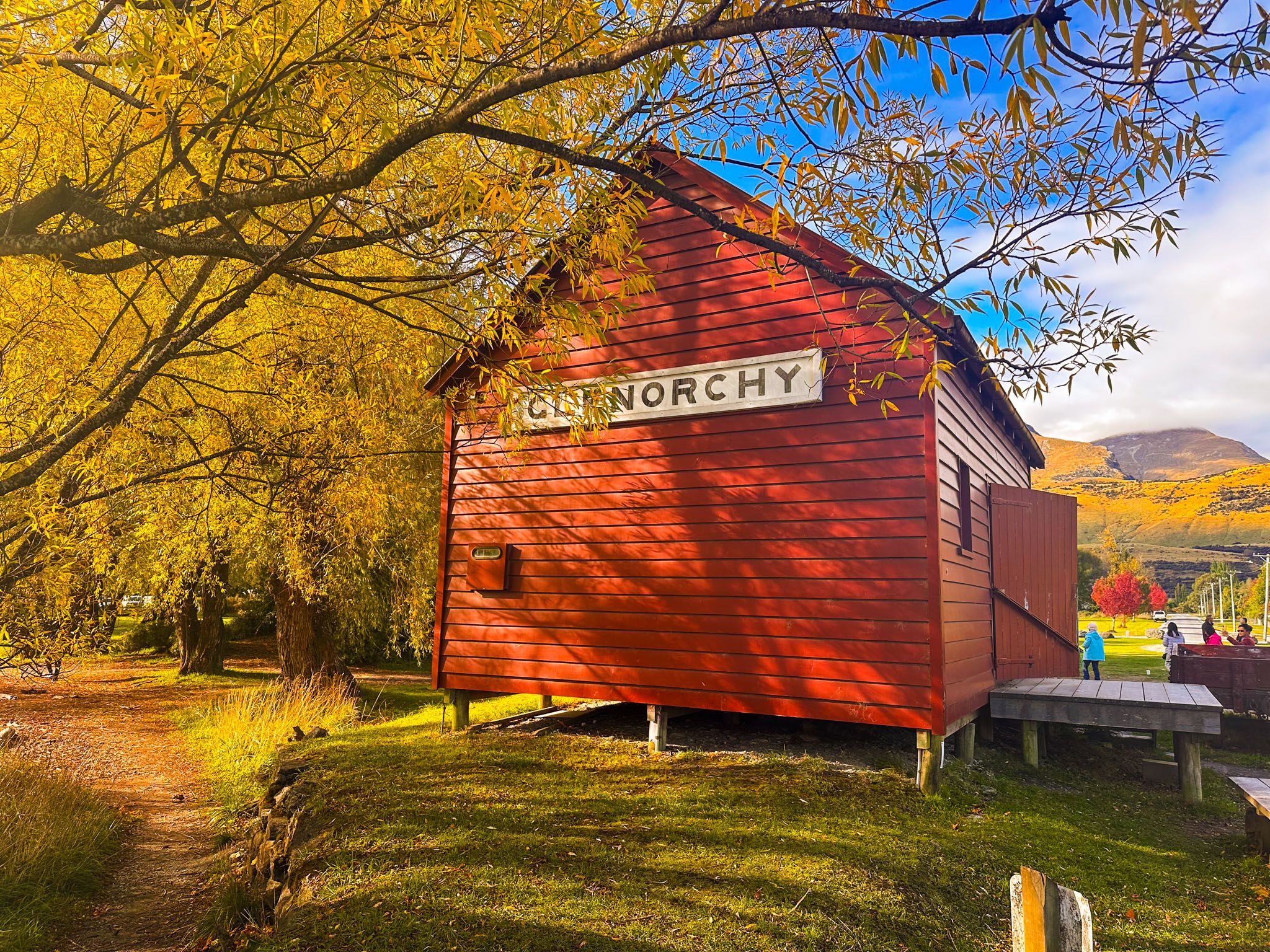
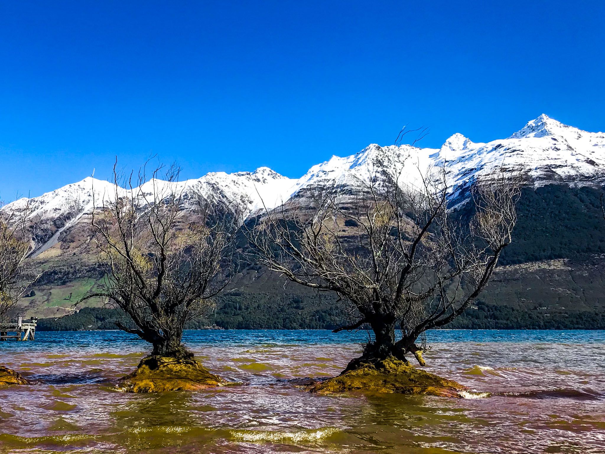
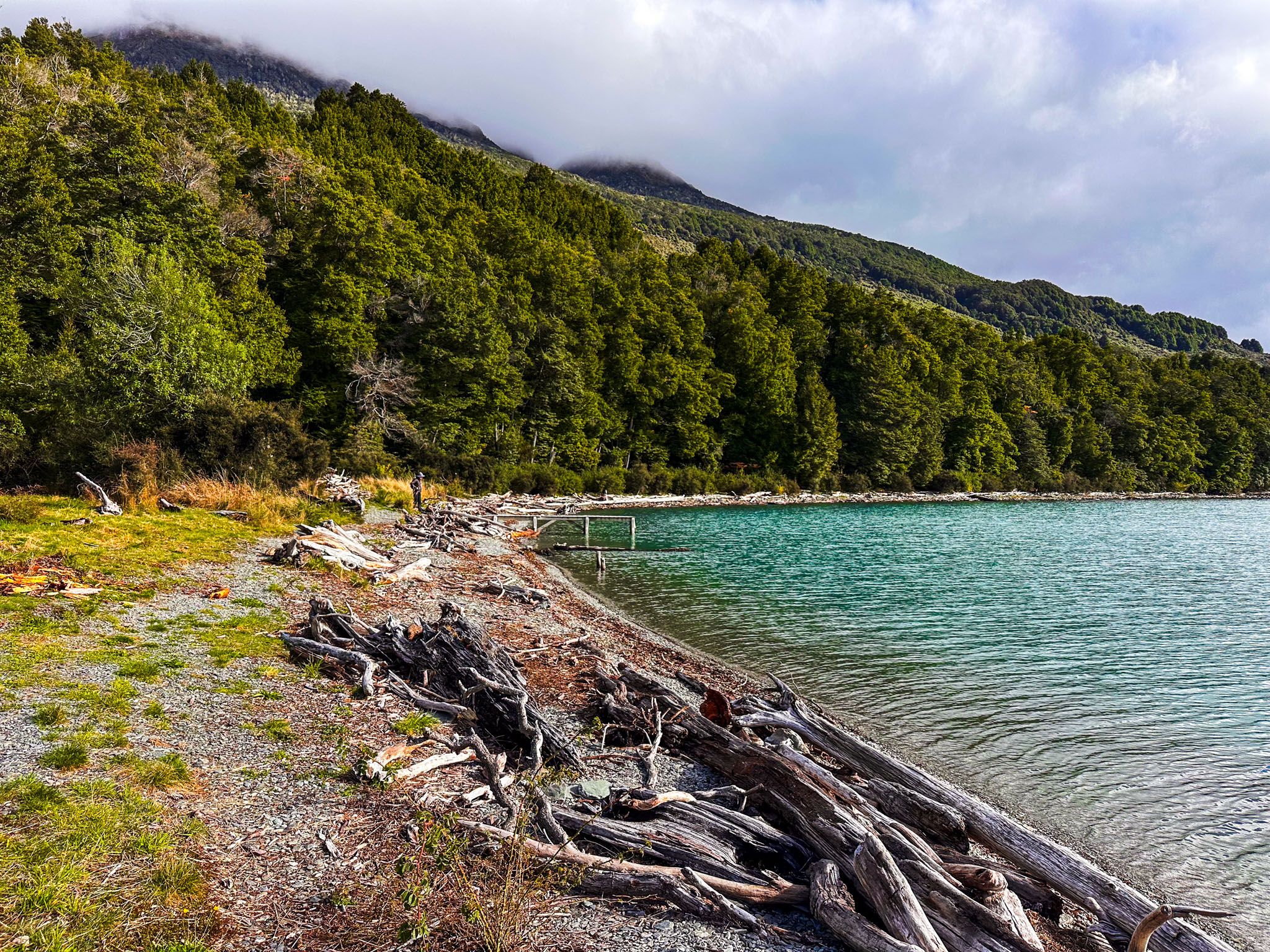
Glenorchy, situated 45 minutes north of Queenstown at Lake Wakatipu's northeast end, serves as the gateway to the region, including Fiordland and Mount Aspiring National Parks. This small town features cafés, a pub, a general store, a historic wharf, and a red boat shed that has become an Instagram favourite. The easy Lagoon Walkway offers a leisurely stroll. The town is beautifully located where the Rees River meets the lake, under the watchful eye of the 2,000-metre Richardson Mountains. You can explore these mountains via the Mt. McIntosh Loop and Judah Tracks.
Rivers, Mountains, and Scenic Routes
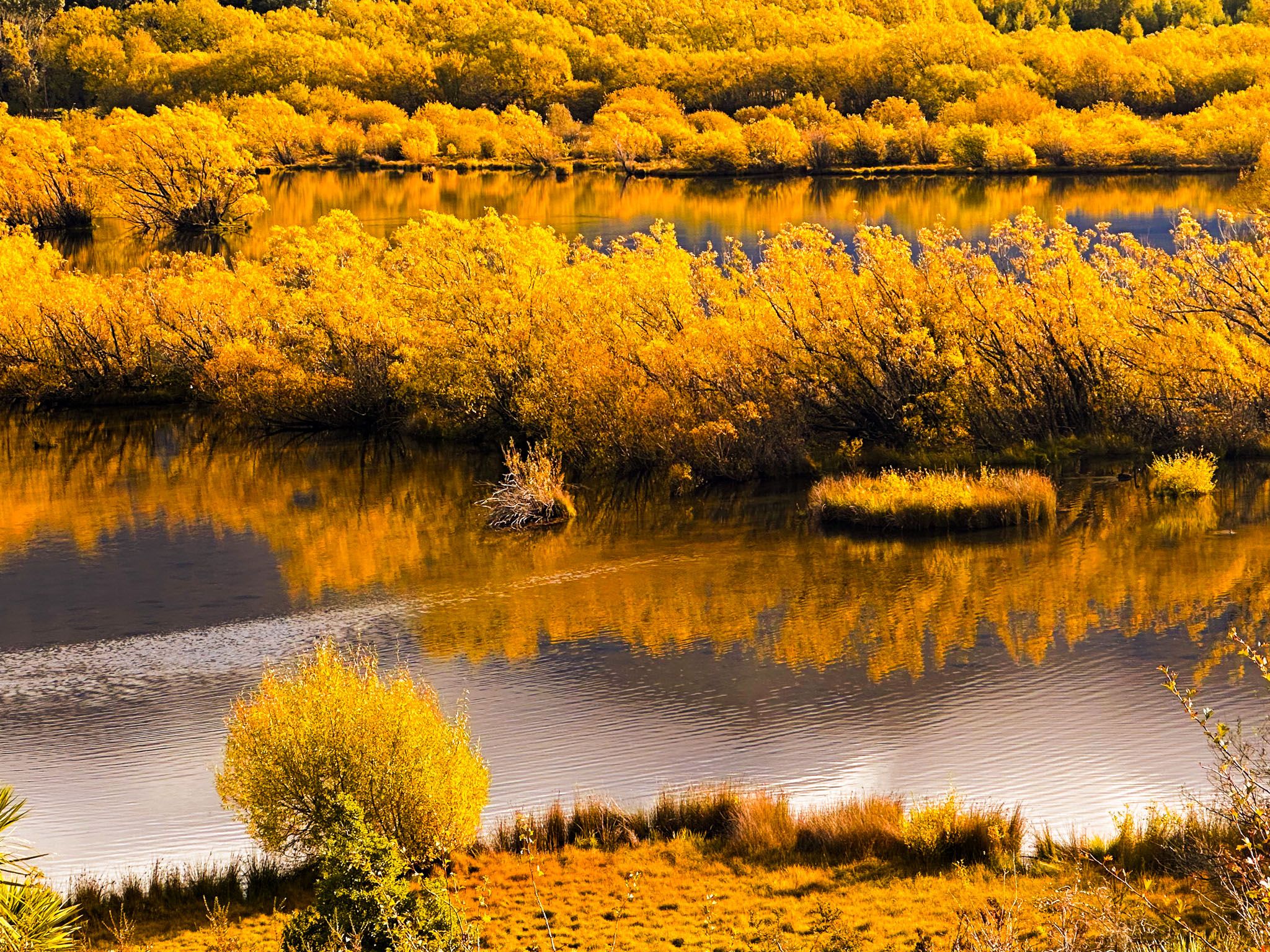
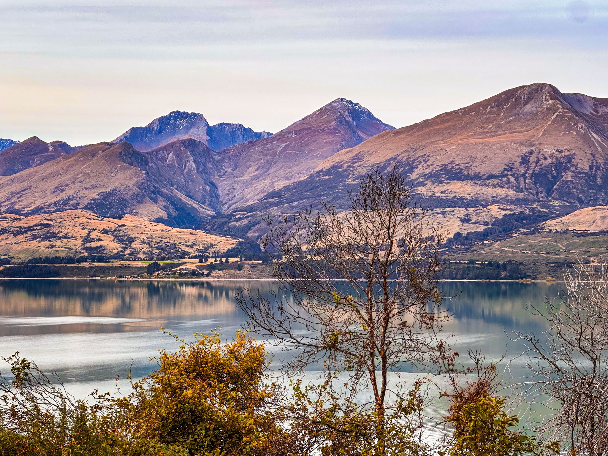
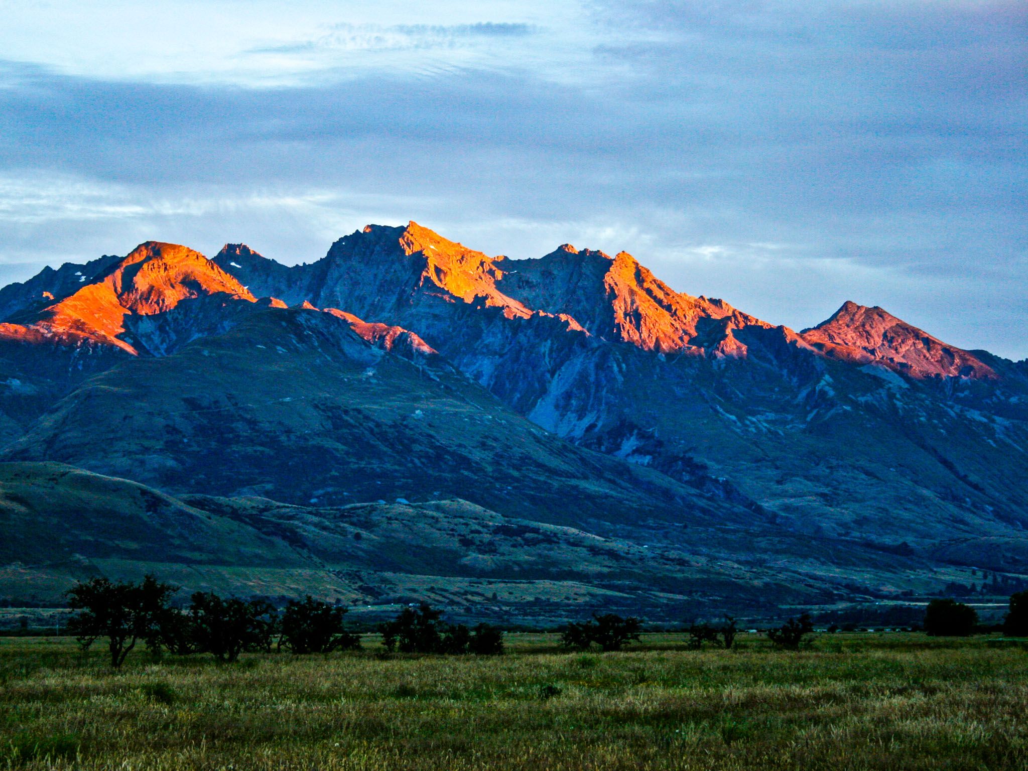
North and west of Glenorchy lies the expansive, braided river system of the Rees and Dart Rivers, separated by the 1,375-metre Mount Alfred / Ari. Further north, Mount Earnslaw / Pikirakatahi stands with its 2,800-metre twin peaks and glacier. Across the lake to the west, Mount Bonpland reaches 2,343 metres in the Humboldt Mountains.
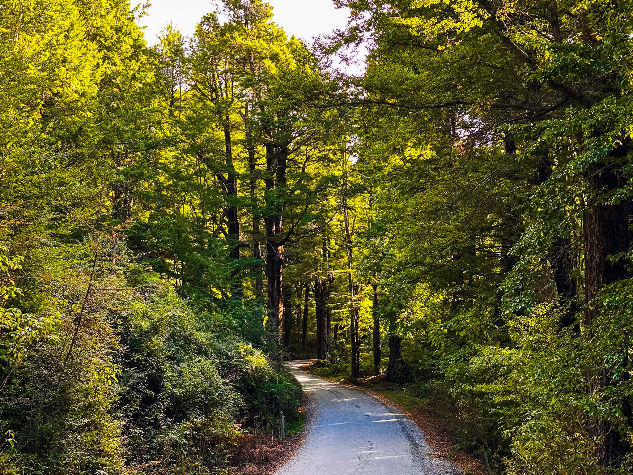
To explore the Rees Valley, Paradise, the Dart Valley, Kinloch, and the National Parks, head north on Glenorchy Paradise Road. This area is known for its famous multi-day hikes, including the Routeburn, Greenstone, Caples, Rees, and Dart Tracks. Shorter walks on these tracks are also recommended. Other short to day walks that take you into the mountains include the Invincible Mine Track from Rees Valley Road, the Earnslaw Burn Track from Lovers Leap Road, the Scott Creek Track off Routeburn Road, and the Glacier Burn Track from Kinloch Road. The Lake Sylvan Track from Sylvan Campsite, the Diamond Creek Walk from Priory Road, and the Kinloch Nature Walk are easy, shorter options. For a more challenging experience, try the 5- to 6-hour loop of the Lake Rere Track, which includes part of the Greenstone Track.
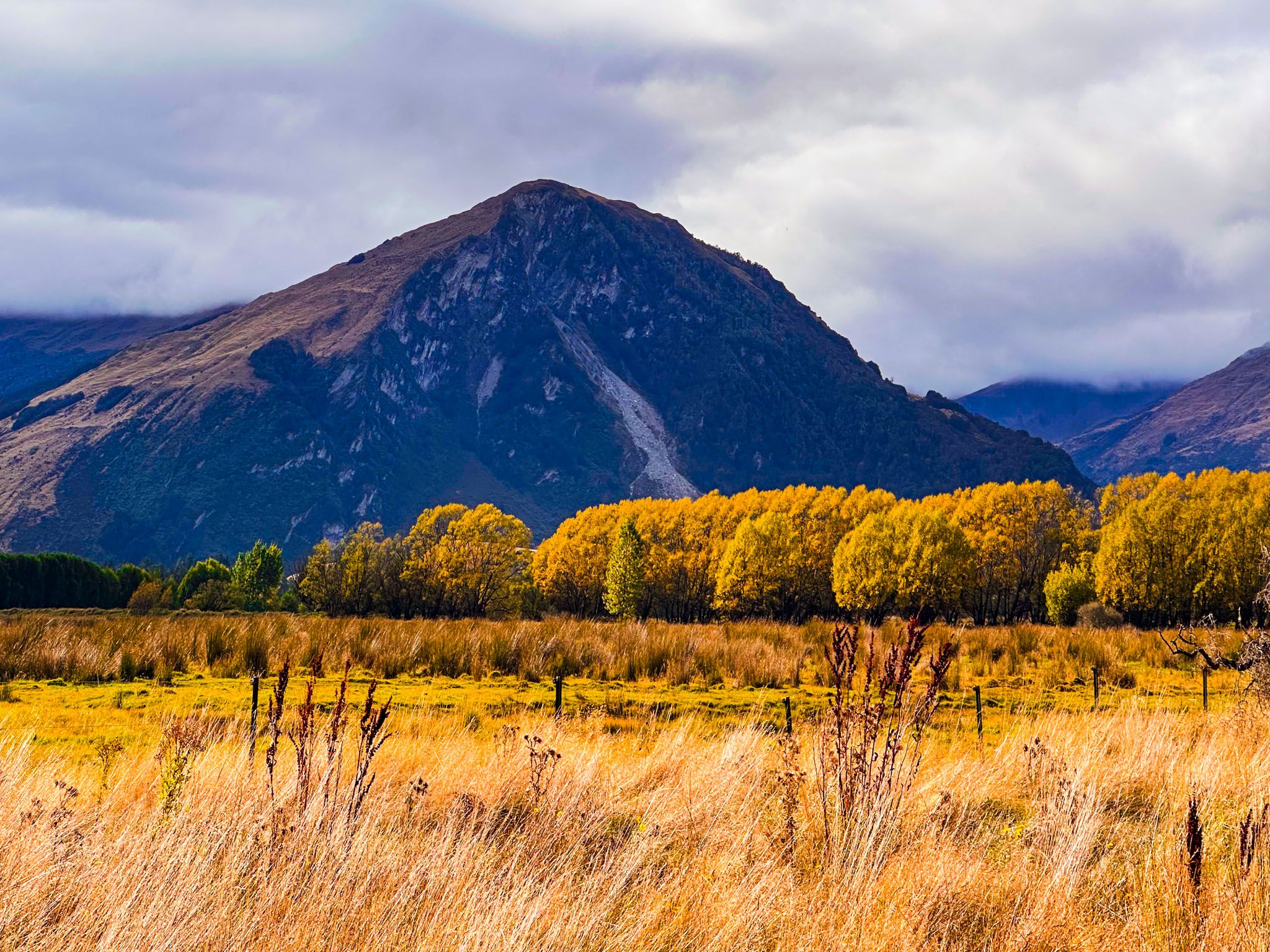
The Hidden Beauty of the Dart Region
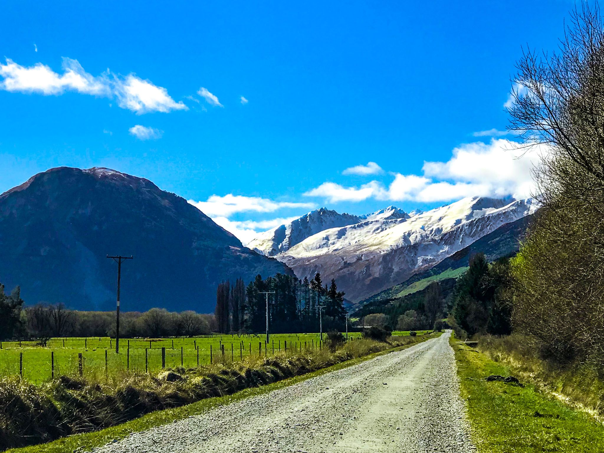
The sealed Glenorchy Paradise Road ascends 80 metres above the Glenorchy lagoons, providing stunning views of the Rees and Dart Valleys' confluence and the surrounding mountains. Access to the Rees Valley is a few kilometres north via the rough Rees Valley Road. Continuing on the sealed road takes you over the Rees River. From there, you can head west on Priory Road, below Mount Alfred, to the south end of the Dart Valley, Kinloch, and the Routeburn, or continue north on gravel Paradise Road between Mount Alfred and Mount Earnslaw / Pikirakatahi to Diamond Lake and Paradise.
Paradise and Beyond
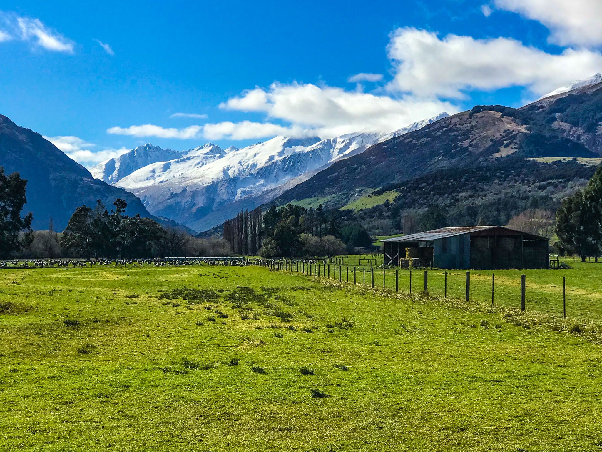
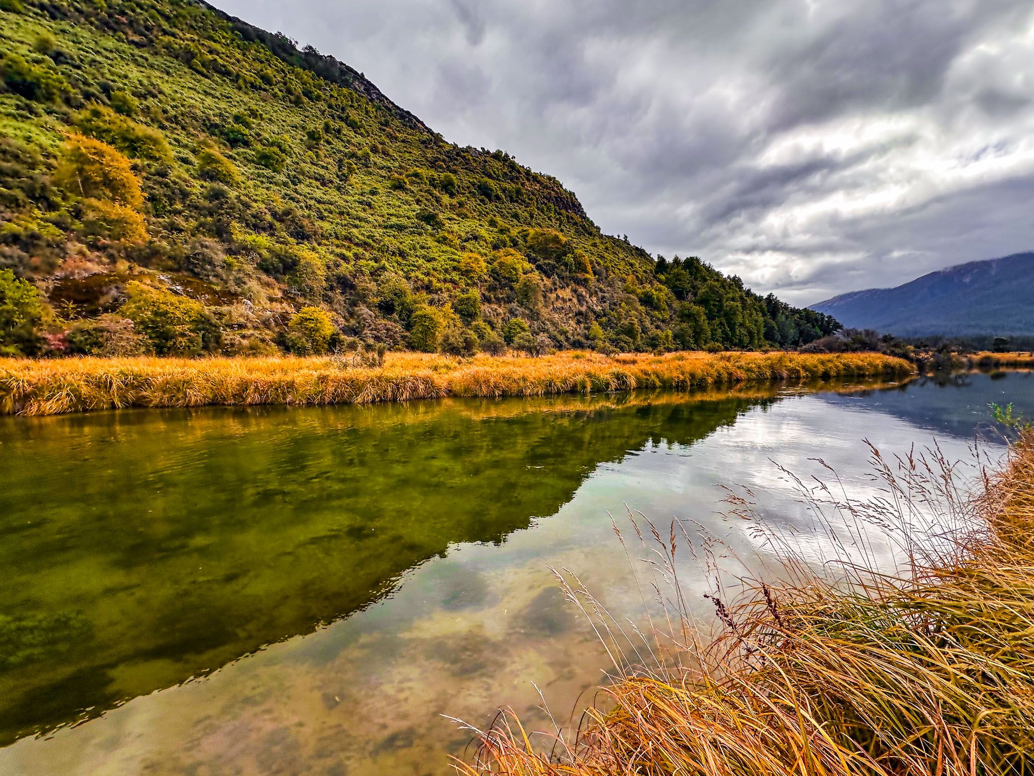
The lowlands of Paradise, cleared of forest and tussock in the 1800s, are now flat to rolling, emerald-green farmland surrounded by mountains and beech forests. As you approach Diamond Lake, look for the high pointed cliff northeast of the road, known as Lovers Leap, which rises 300 metres high. The turnoff to Lovers Leap Road leads to the Earnslaw Burn Track. Diamond Lake offers a basic campsite. Paradise is marked by a sign and features a walking track and some accommodation, though signage is limited.
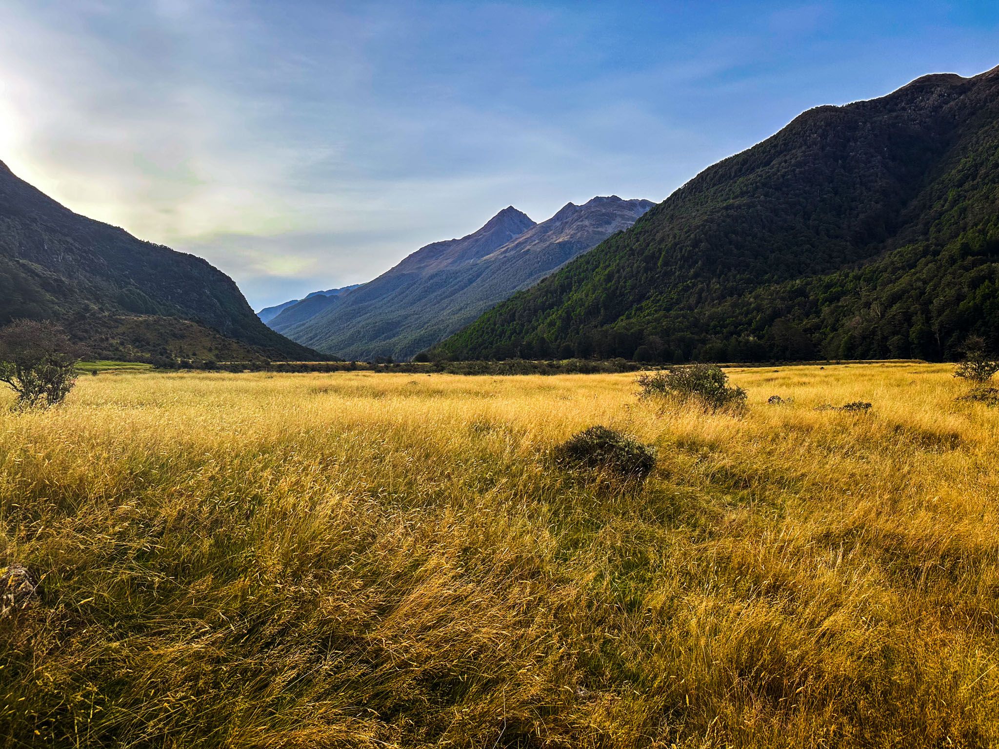
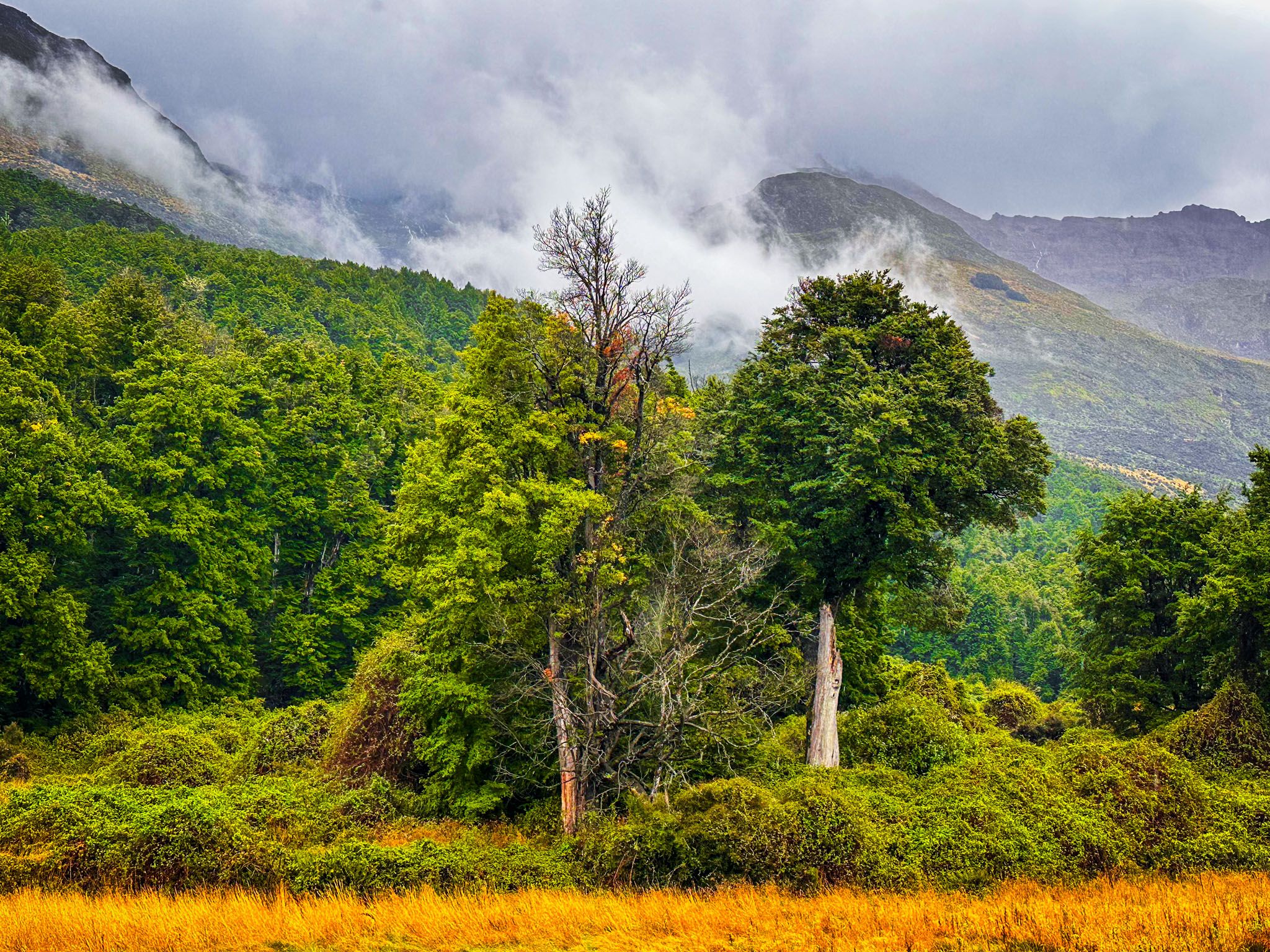
From Paradise, the road becomes rougher with several fords as it enters Mt Aspiring National Park and the start of the Dart Track in the Dart Valley. The 10 km drive is manageable in a 2WD car, but caution is advised. The Dart Valley is a stunning area with golden grasslands surrounded by forested mountains and craggy peaks, reminiscent of the Eglinton Valley but with fewer tourists.