Discovering Tobins Track in Arrowtown
Tobins Track is a historic gravel road located in Arrowtown, in the Queenstown region of the South Island. This track once served as a crucial link for miners travelling from Arrowtown to the Crown Terrace and onwards to Cardrona and Wānaka. The track is a 250-metre climb that takes about 30 minutes to complete, providing a great view for those who venture up.
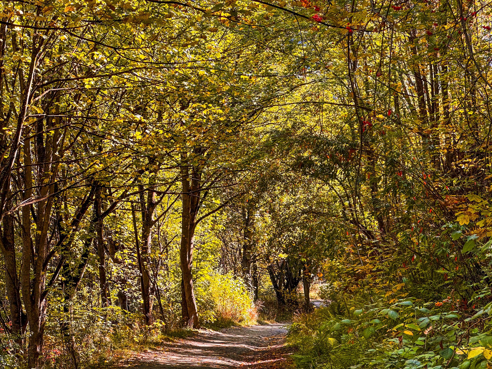
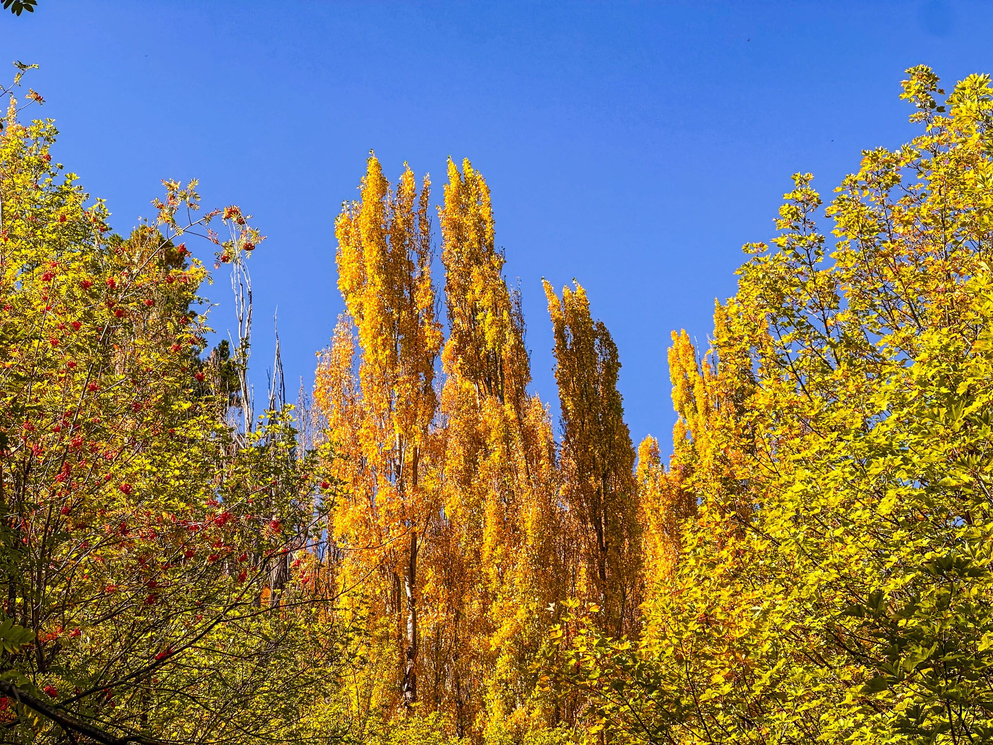
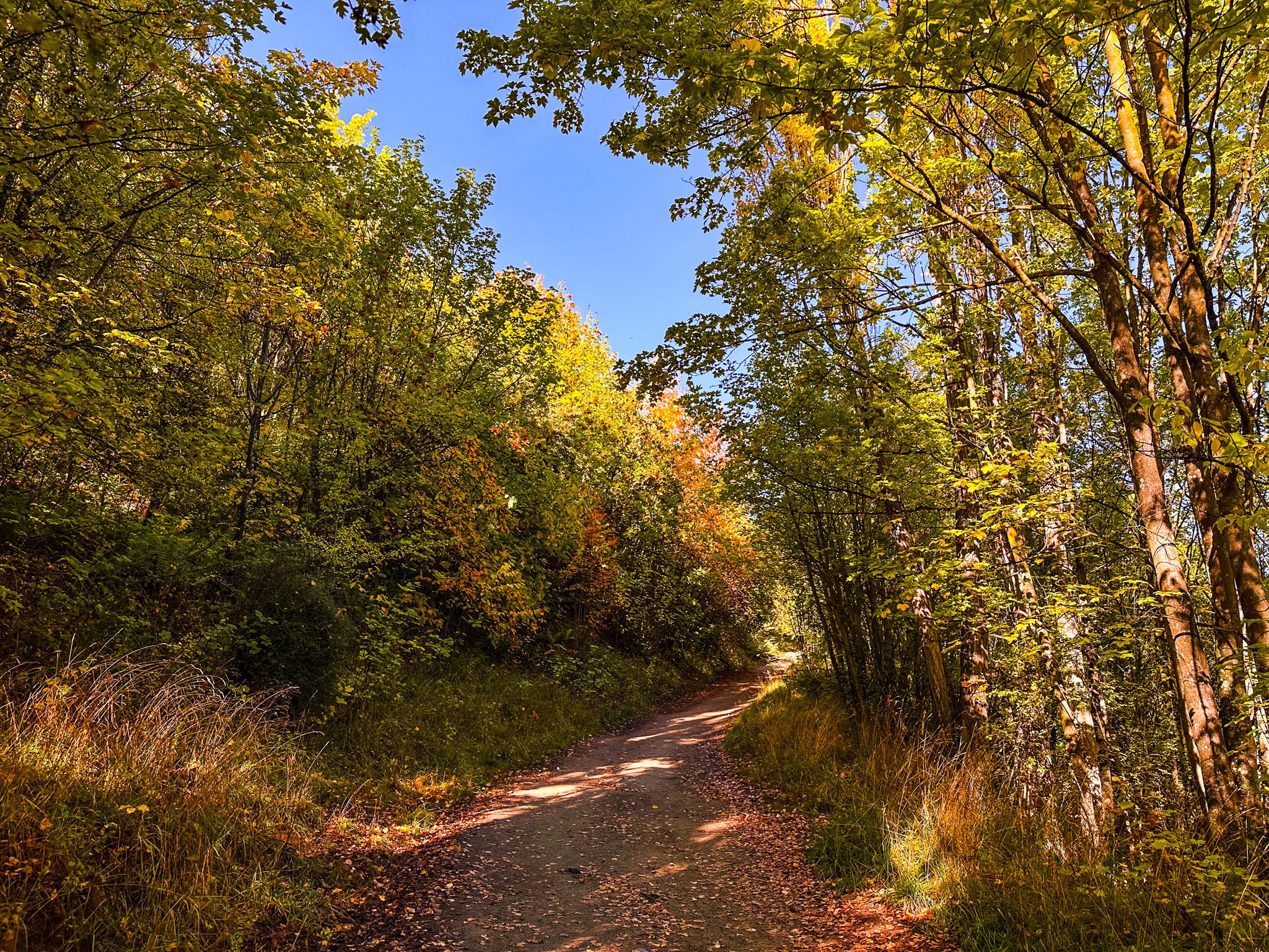
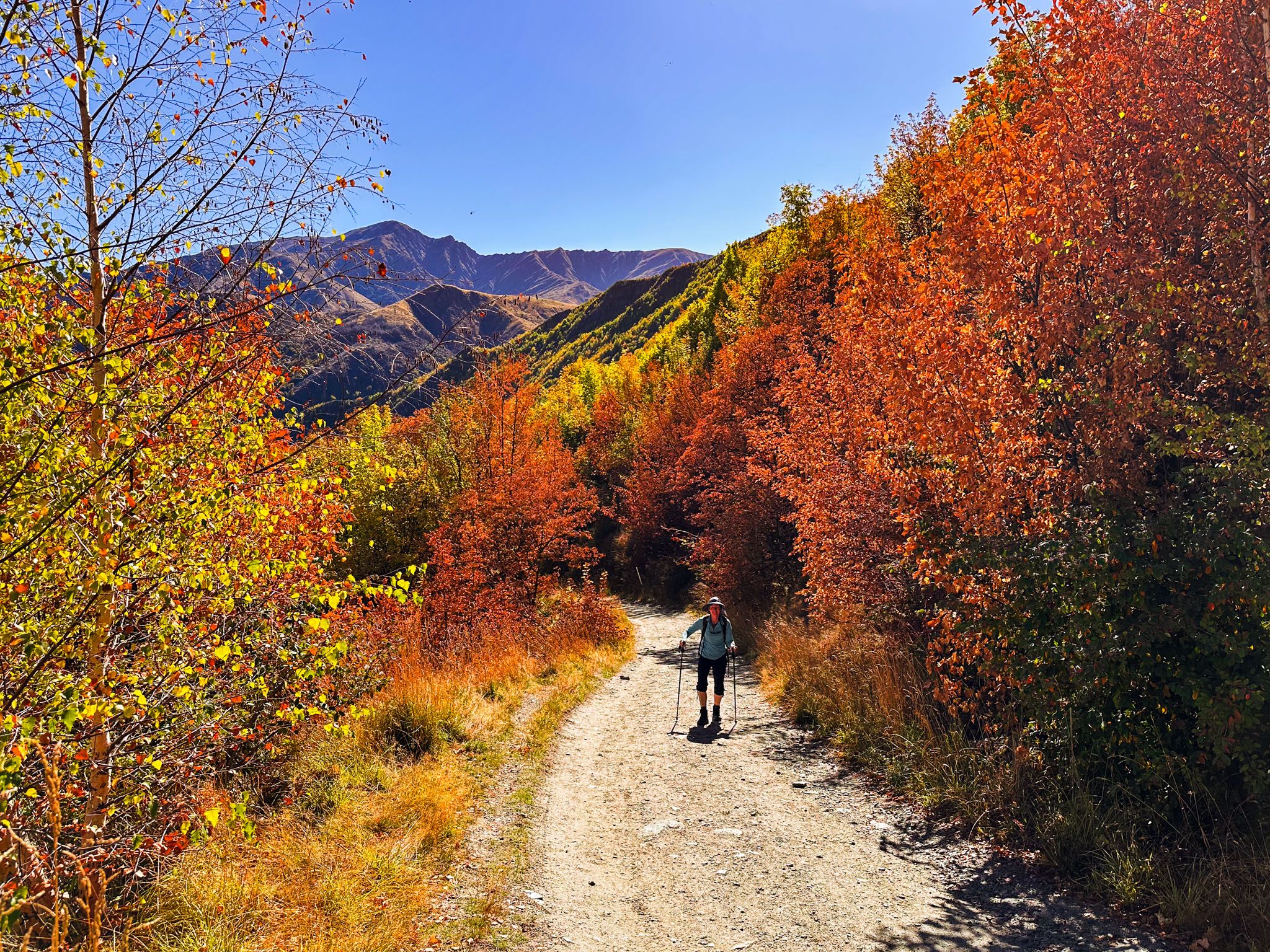
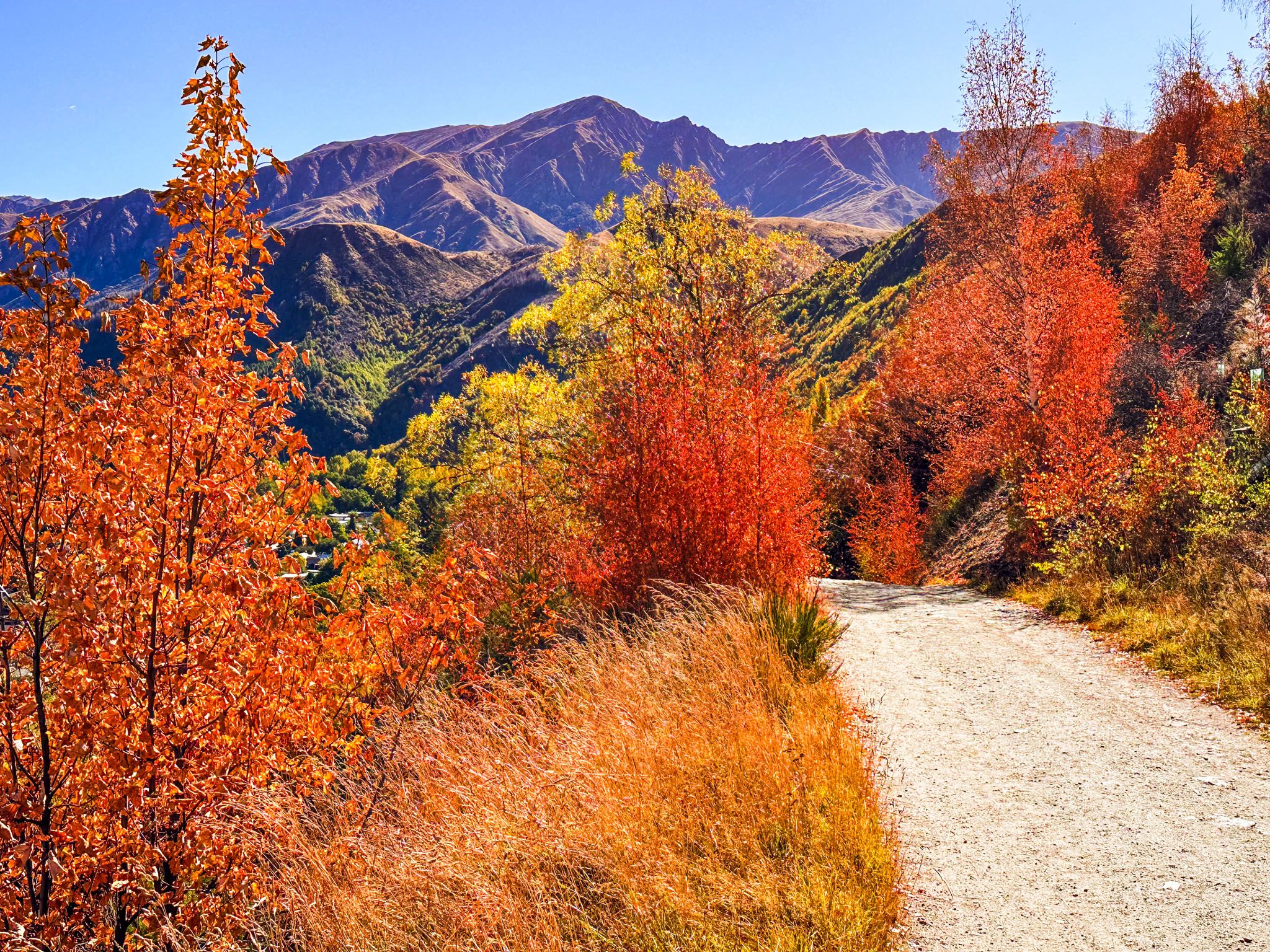
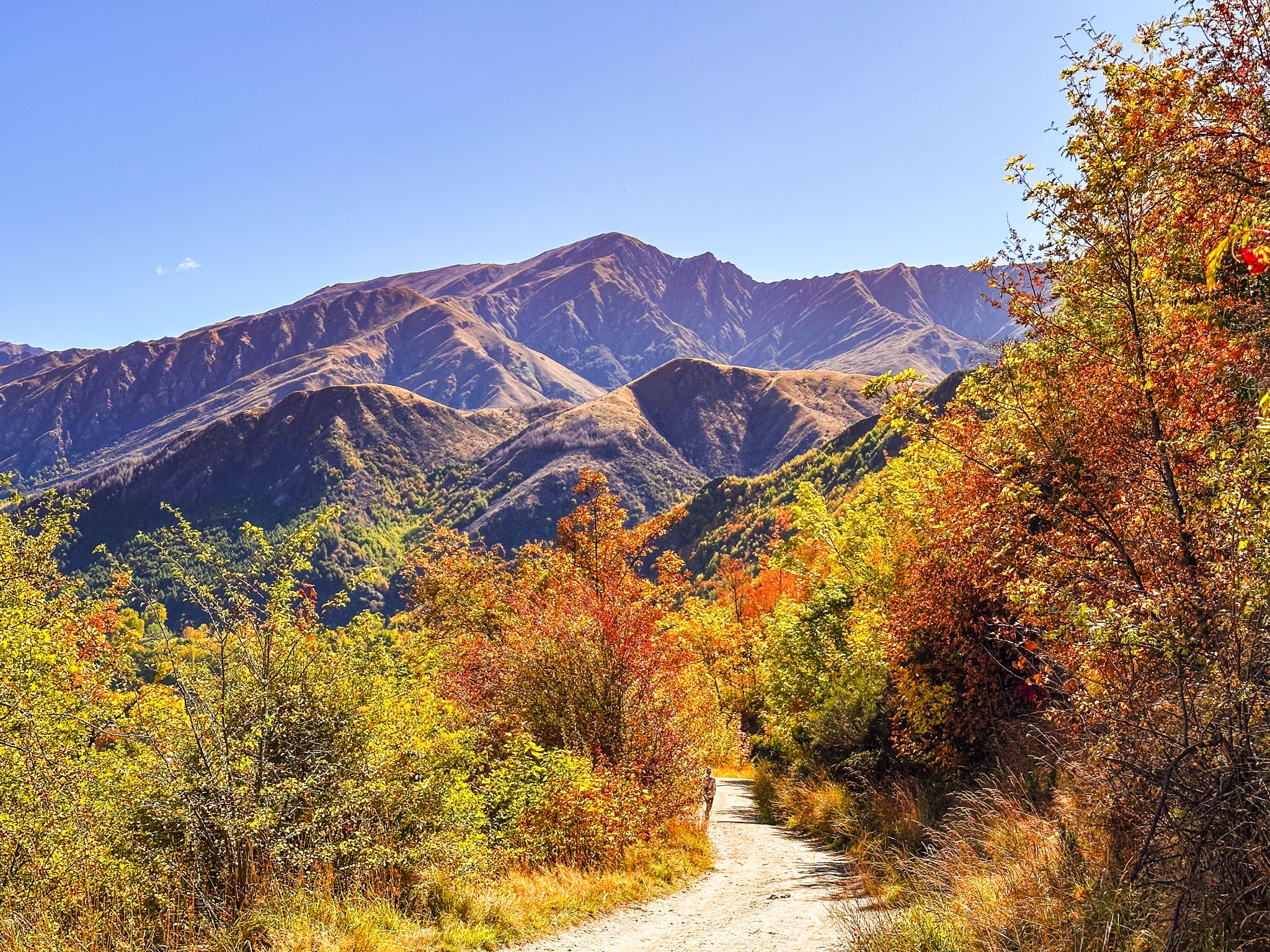
In autumn, the lower section of the track is particularly beautiful, with deciduous trees creating a stunning display of colours. As you ascend, the landscape opens up, offering expansive views of the Wakatipu Basin and surrounding mountains. At the top, there is a seat for a rest!
Exploring New Chum Gully Track
About halfway up Tobins Track, on the left, is the entrance to the New Chum Gully Track. This rougher tramping track loops over the ridge and descends into New Chum Gully, eventually connecting with the Arrow Gorge Track. If you plan to complete this loop from Arrowtown, allow another two to three hours for the hike.
Historical Origins of Tobins Track
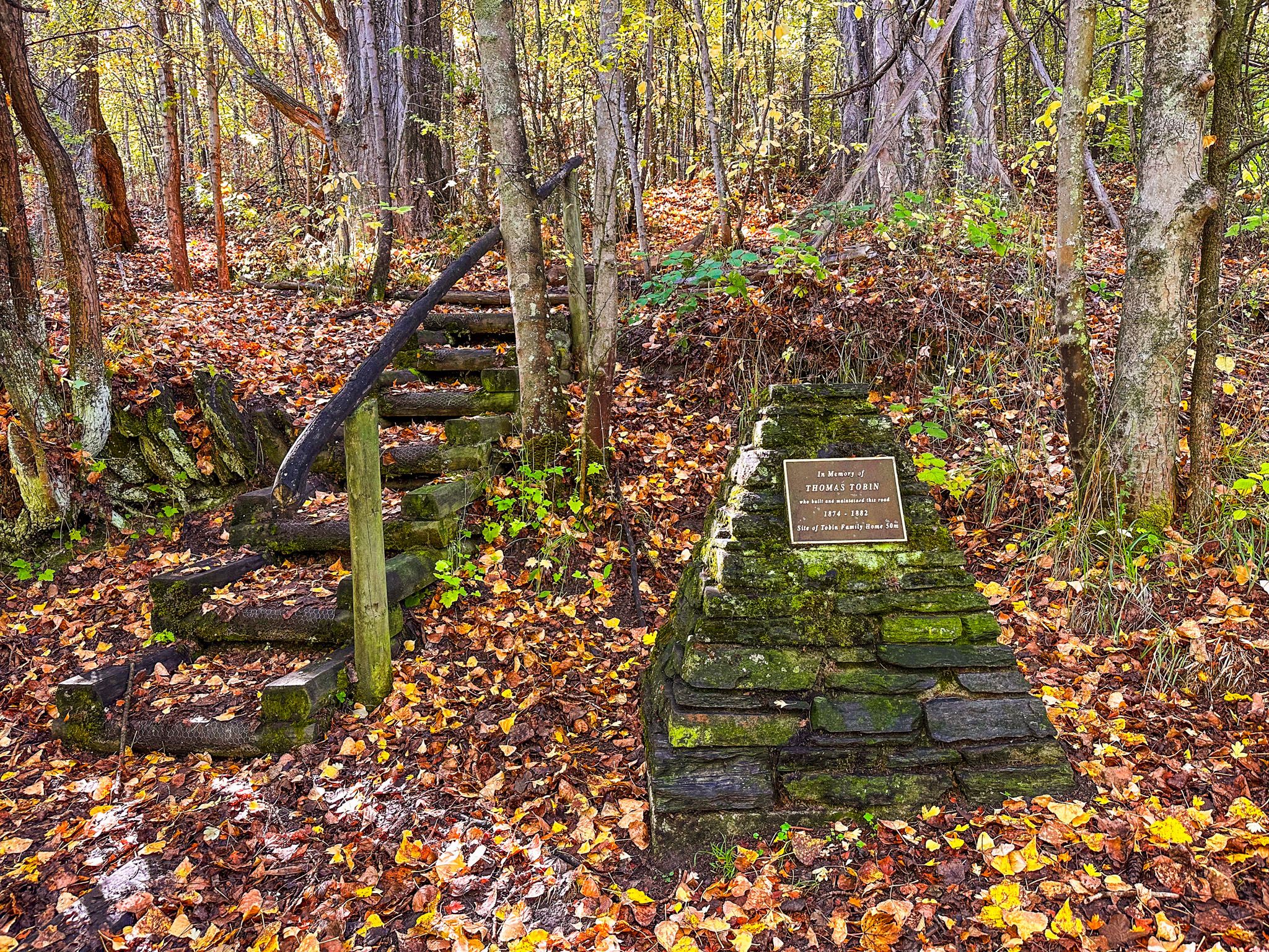
At the start of Tobins Track, an informative panel provides insights into the area's geology, historical Māori presence, and the track's development. The track was established in the 1870s as part of a bridal path to Wānaka by Thomas Tobin, an Irishman who arrived during the gold rush of the 1860s. Tobin initially lived in Macetown before moving to Arrowtown, where he secured the contract to build the track. He constructed a cottage 300 metres up the track from the bridge, where a cairn now marks the location. Remnants of his house can be seen among the deciduous trees.
Getting to Tobins Track
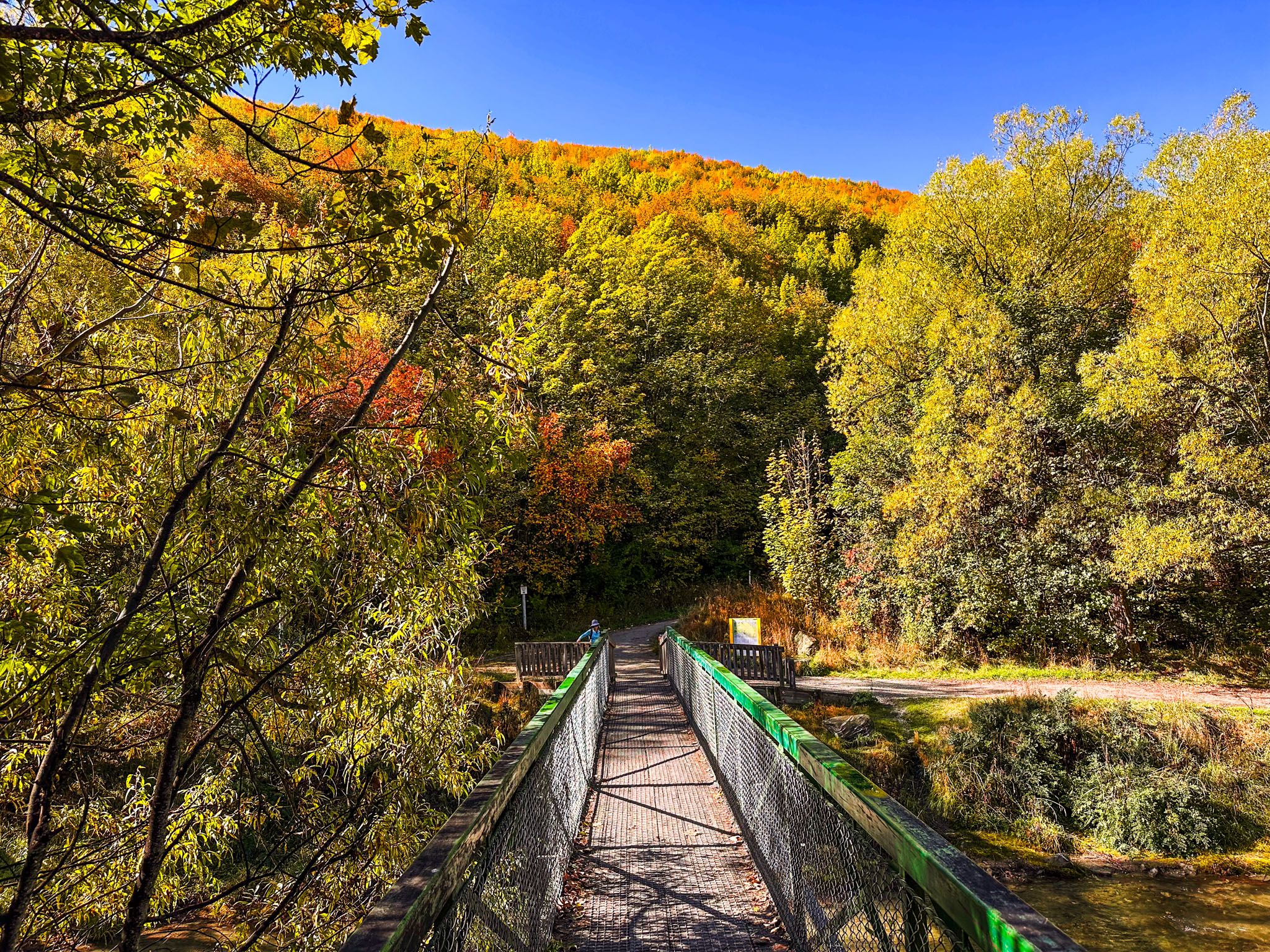
To access Tobins Track, you can start from Tobins Bridge on the Arrow River Trail in central Arrowtown. Alternatively, park your car at the end of Ford Street next to O’Callaghan Park. From there, it is a 2-minute walk to the bridge at the start of the track.
For those seeking more adventure, the top of Tobins Track offers the opportunity to climb Mount Beetham, which involves an additional 250-metre ascent. Follow the gravel road to find a poled route leading to the summit. Alternatively, you can return to the south end of the Arrow River Trail via the steeper Tobins Drop tramping track.