New Chum Gully Track in Arrowtown
Located in Arrowtown, the New Chum Gully Track offers a spectacular hiking experience, particularly in autumn when the deciduous trees and shrubs display vibrant colours. This track traverses Glencoe Station and links the Arrow Gorge Track with Tobins Track. Unlike the more accessible paths, New Chum is a rougher tramping track that requires extra caution in some areas. It's advisable to avoid the track in wet or snowy conditions and to wear sturdy hiking shoes or boots.
Starting Your Hike
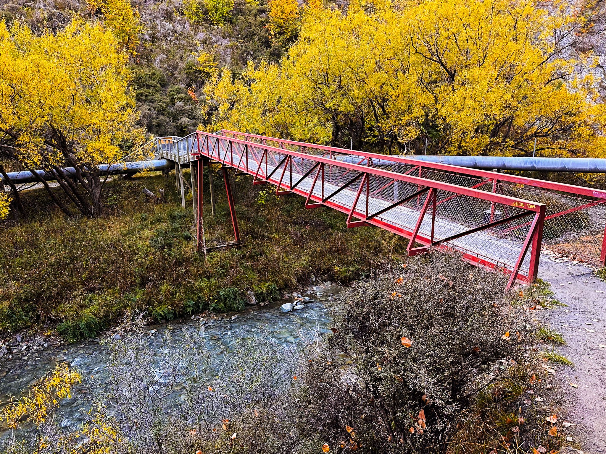
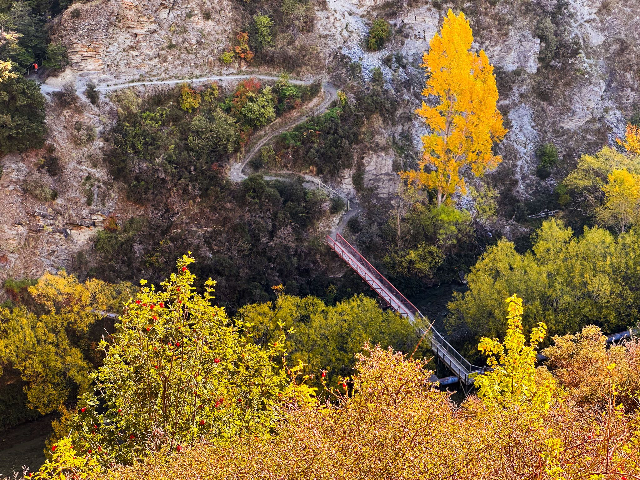
The track can be commenced from either end, but a clockwise route from Arrowtown along the Arrow Gorge Track is recommended. Shortly after the start of the Sawpit Gully Track, you'll encounter the Norman Smith Bridge crossing the Arrow River. The New Chum Gully Track begins on the opposite side of the bridge, adjacent to Macetown Road.
Navigating the Track
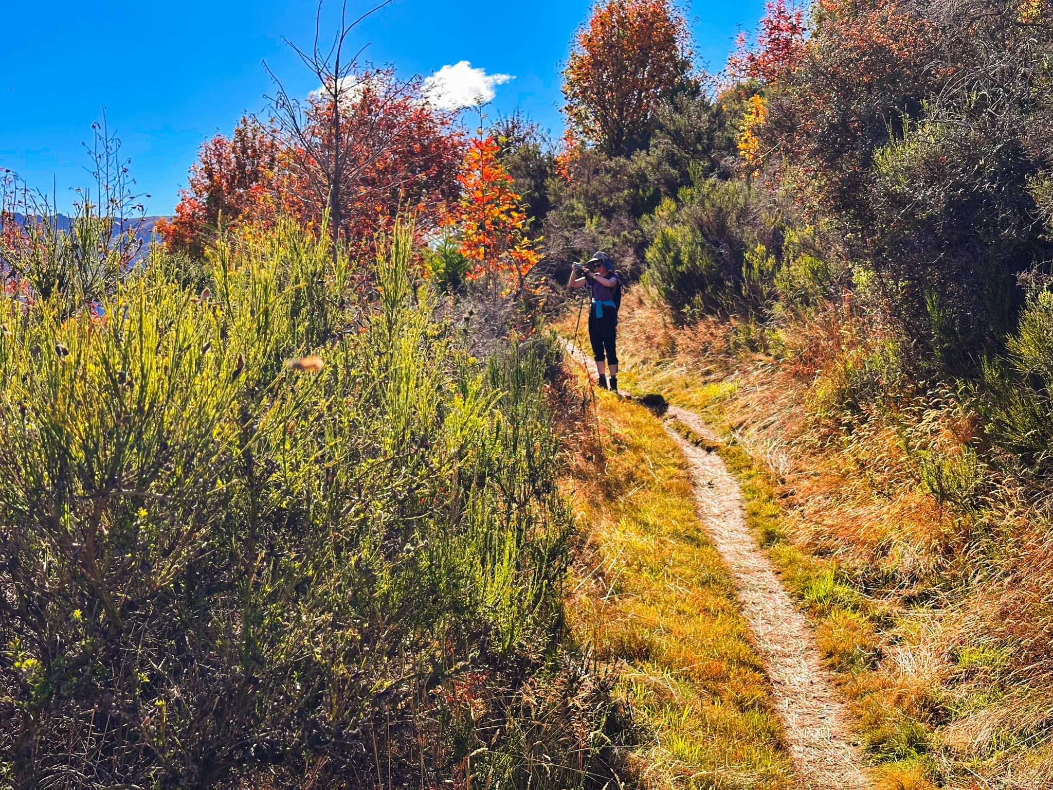
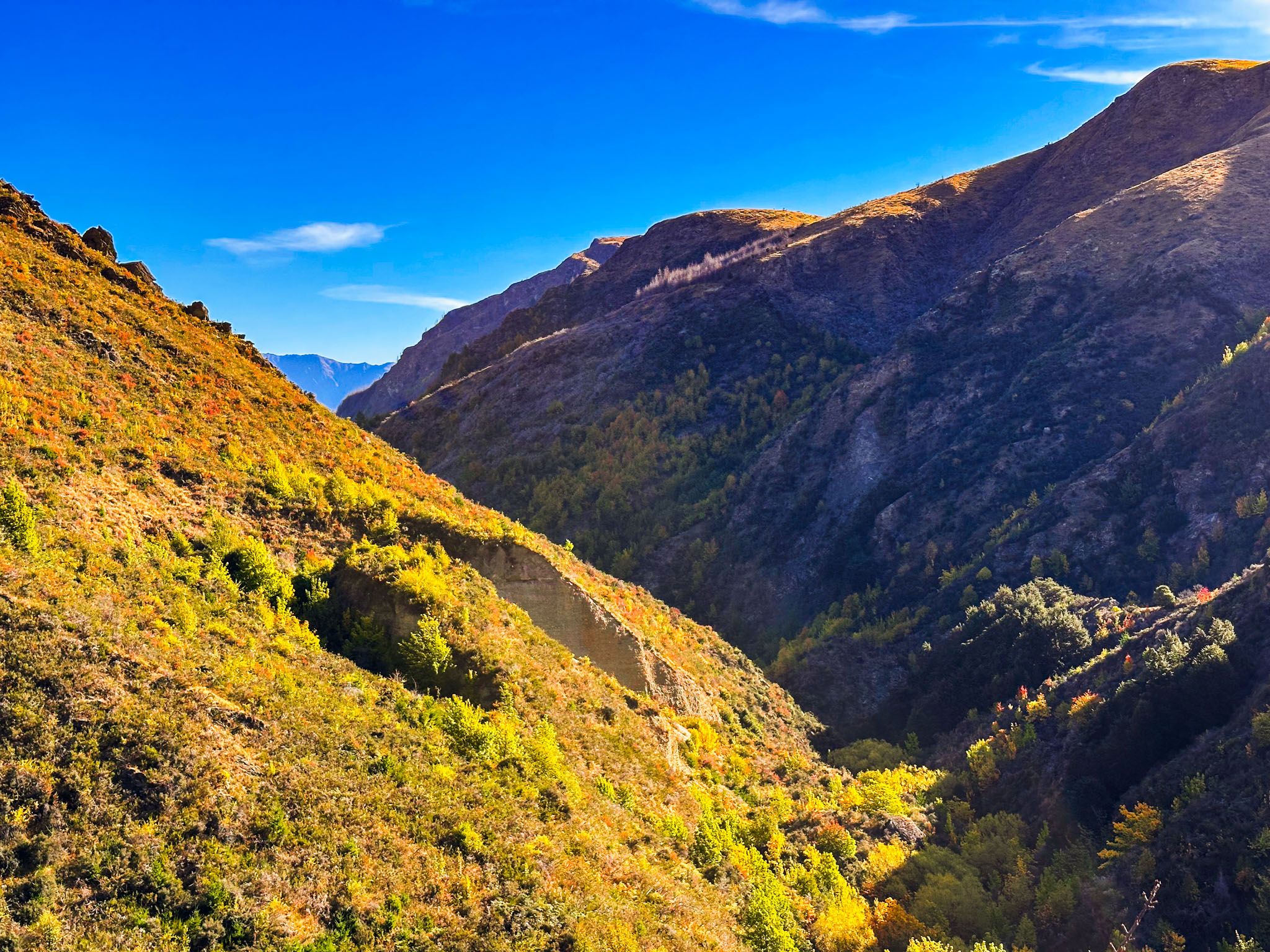
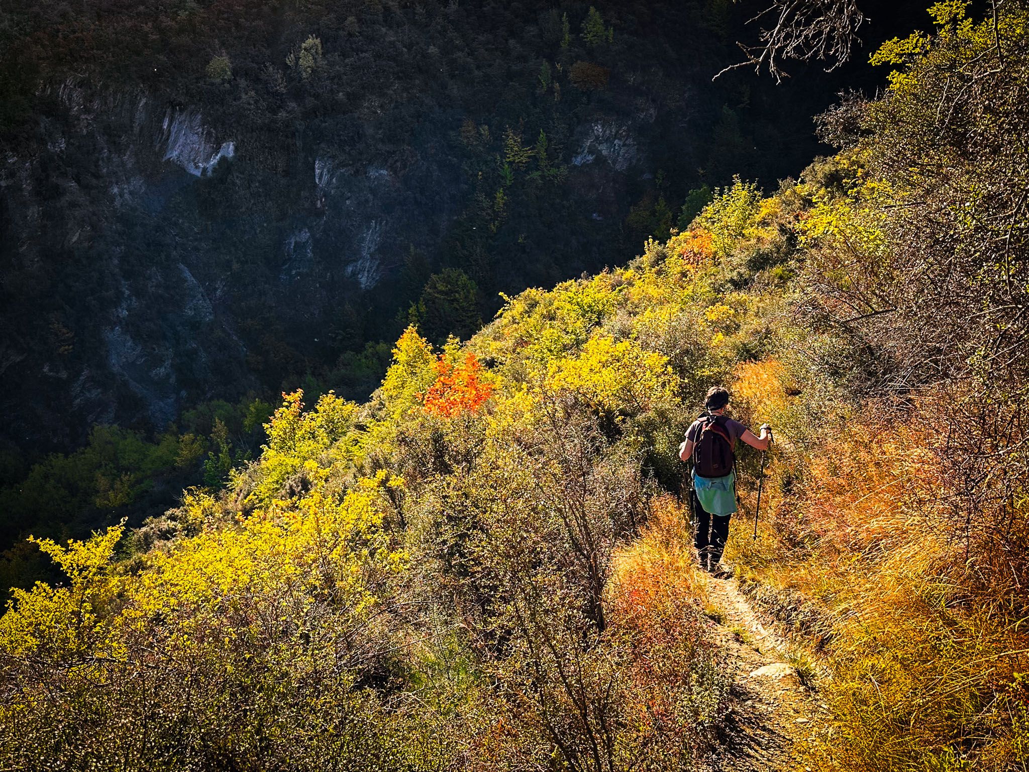
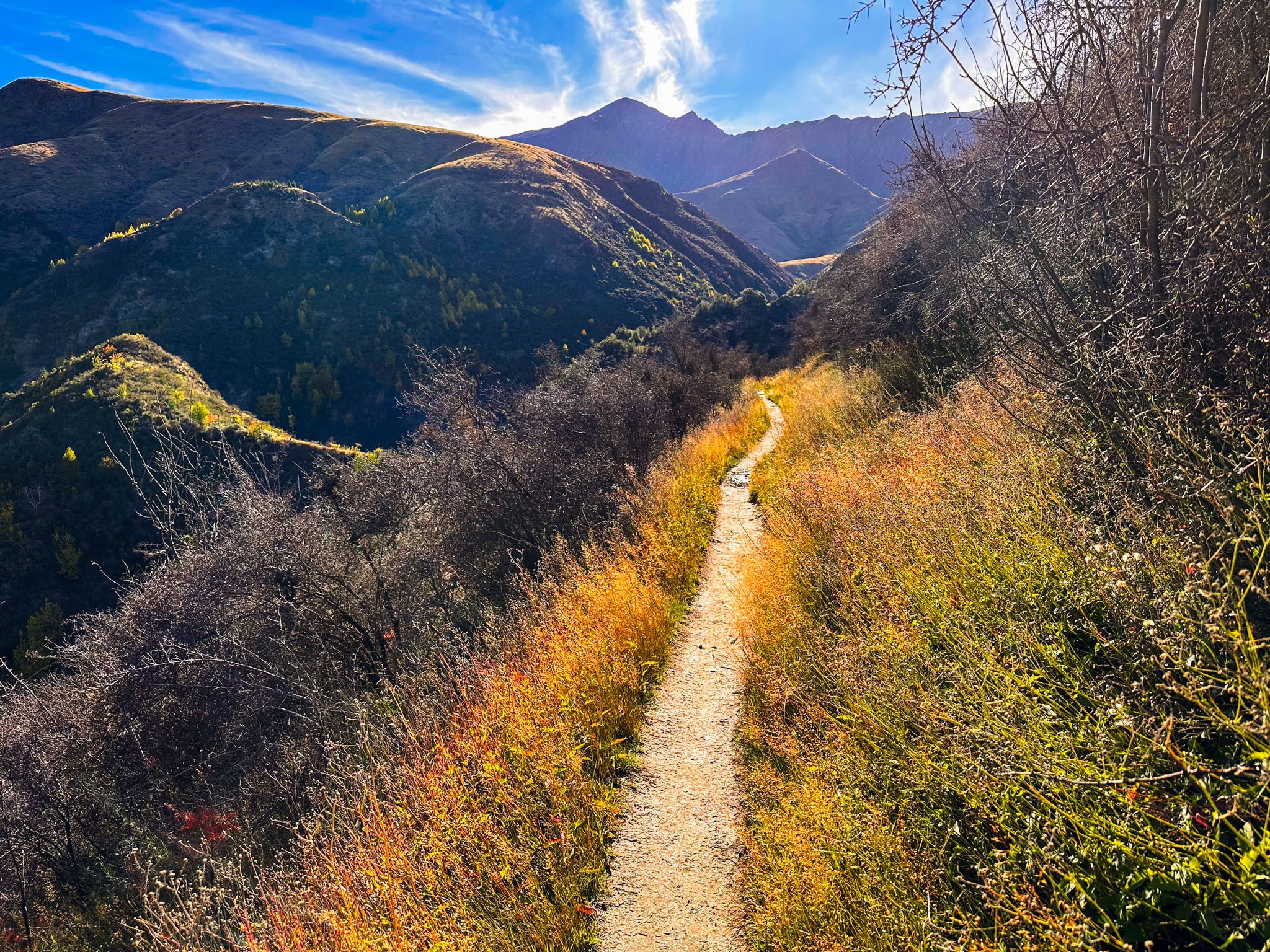
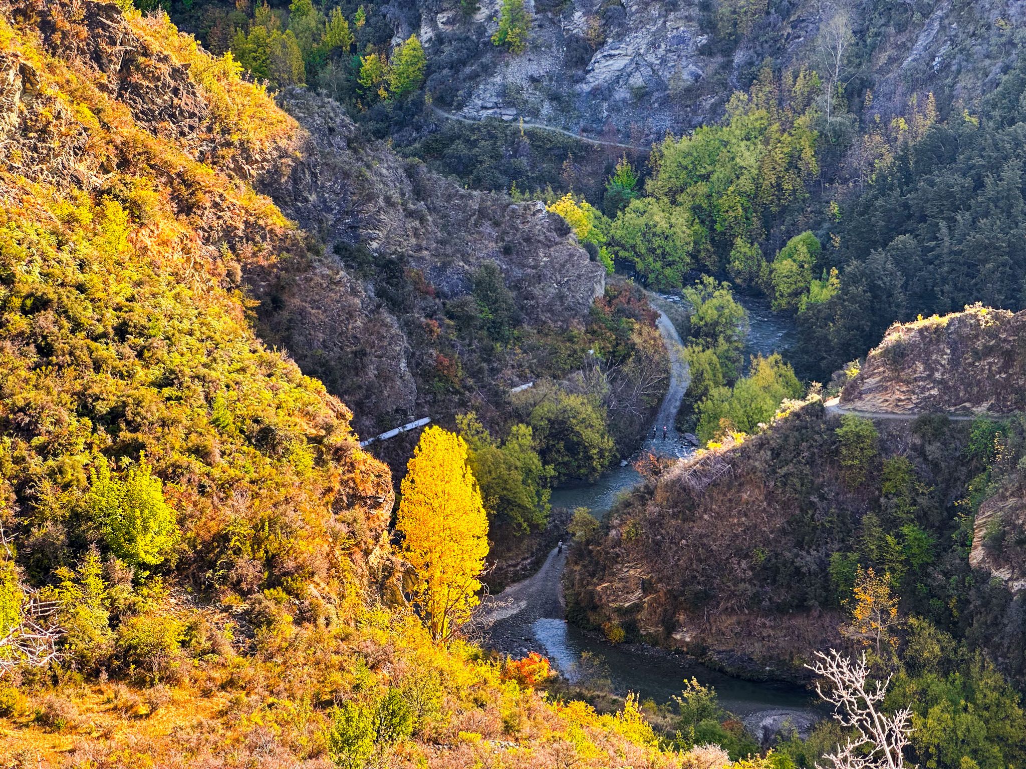
The initial section of the track is the most challenging, featuring a steep, narrow, and worn ascent with some precarious drops. This part is more difficult to descend than to ascend, with the Arrow Gorge looming up to 100 metres below. However, the views are breathtaking.
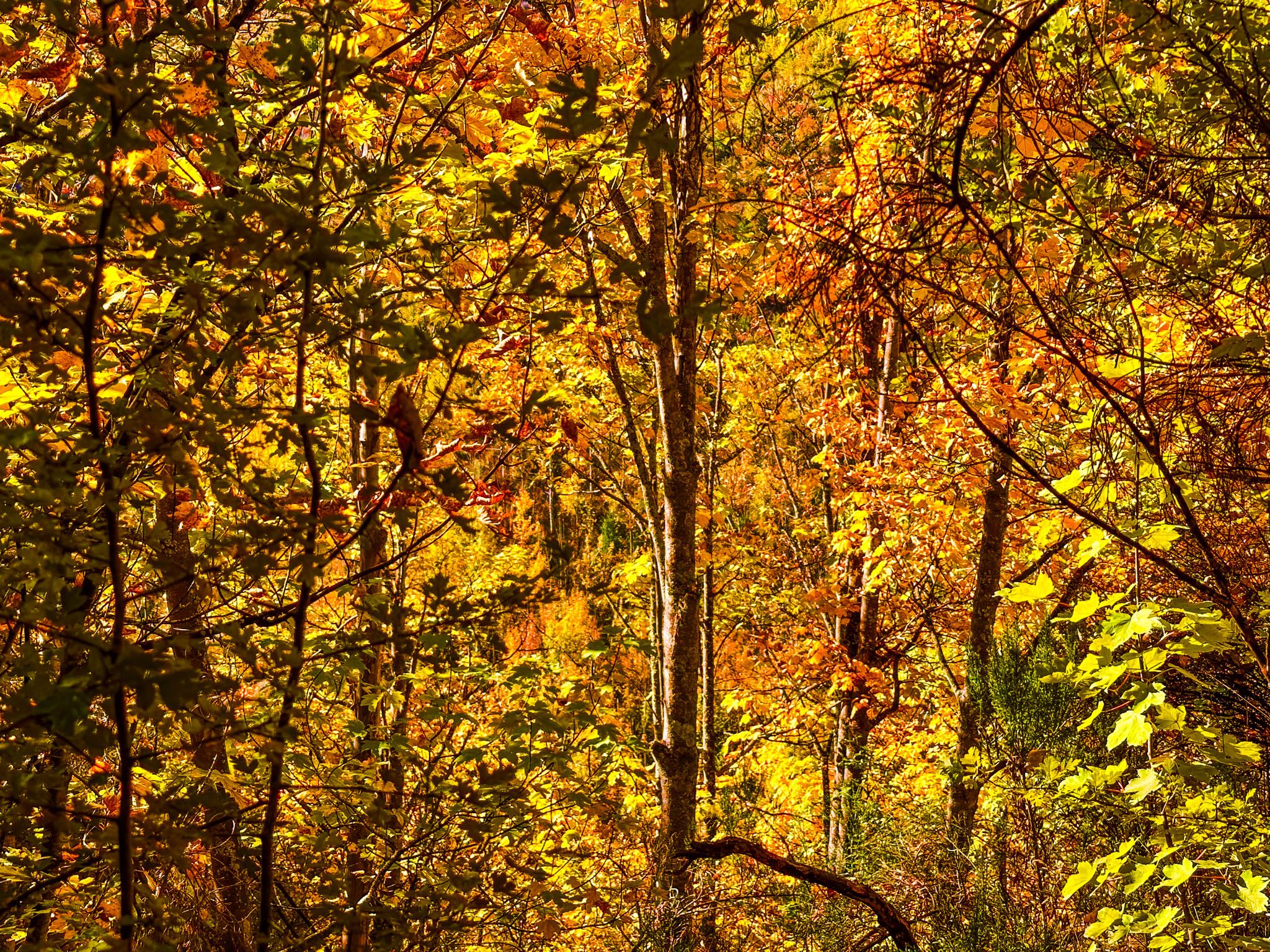
Once you hike out of the gorge, the track eases, leading over a ridge into New Chum Gully and gently descending to a stream crossing. Another narrow section follows, climbing the cliff on the gully's south side, but the edge is mostly shielded by deciduous shrubs and trees, offering stunning autumn colours. The stream is hidden 40 metres below.
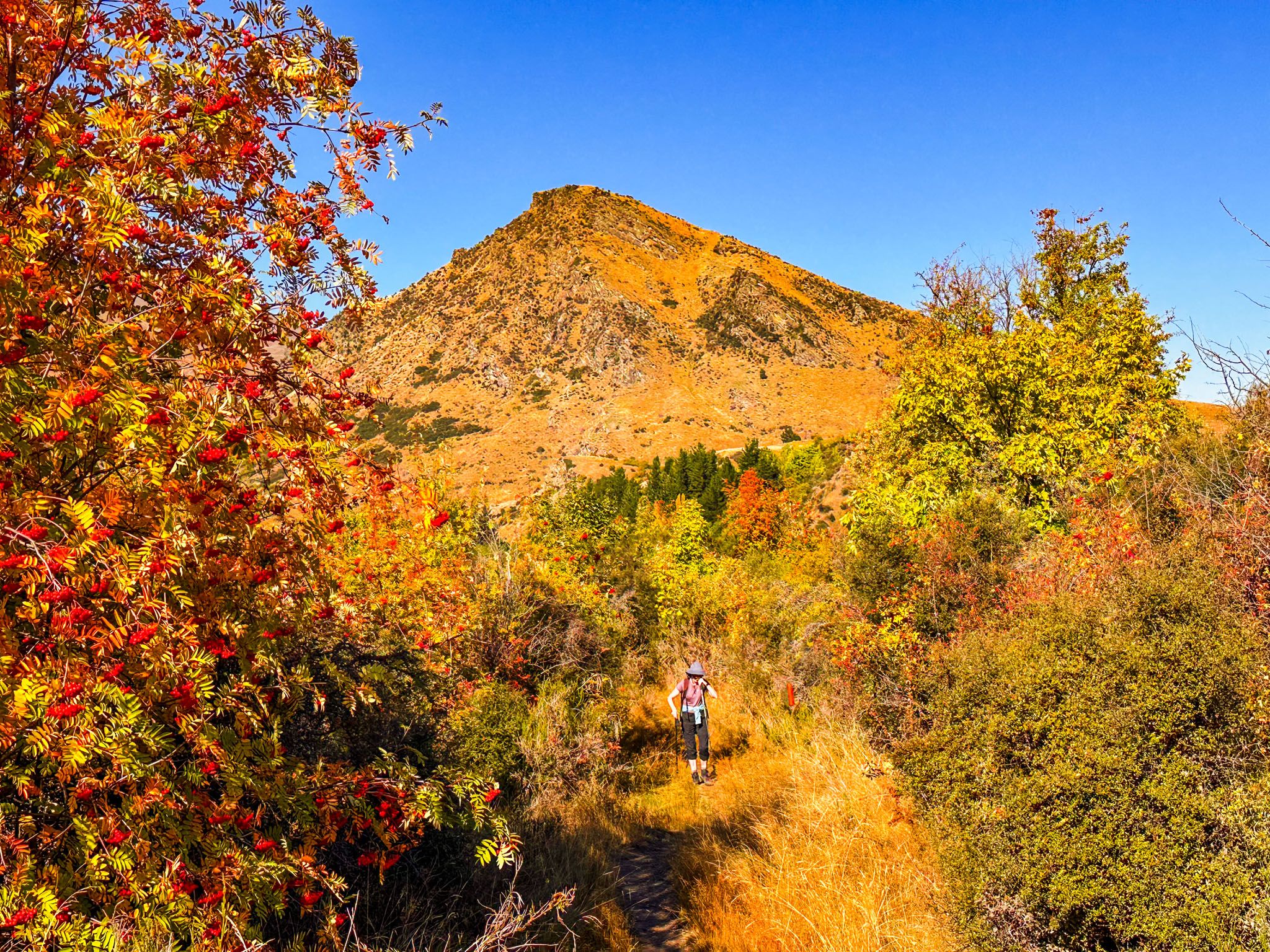
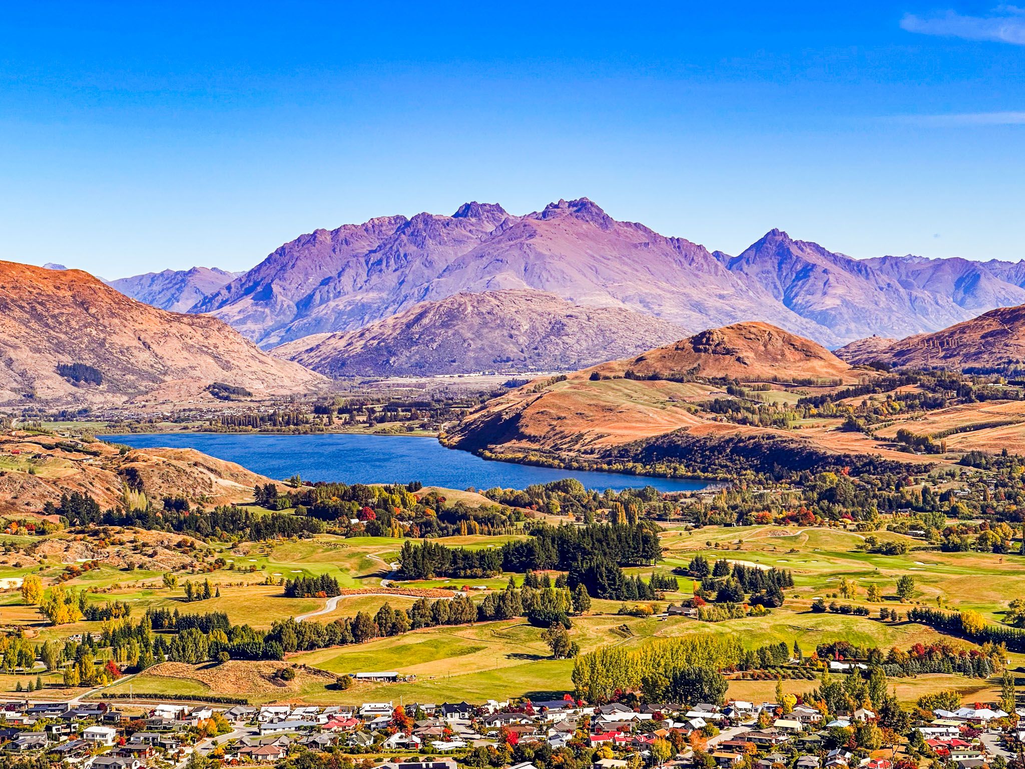
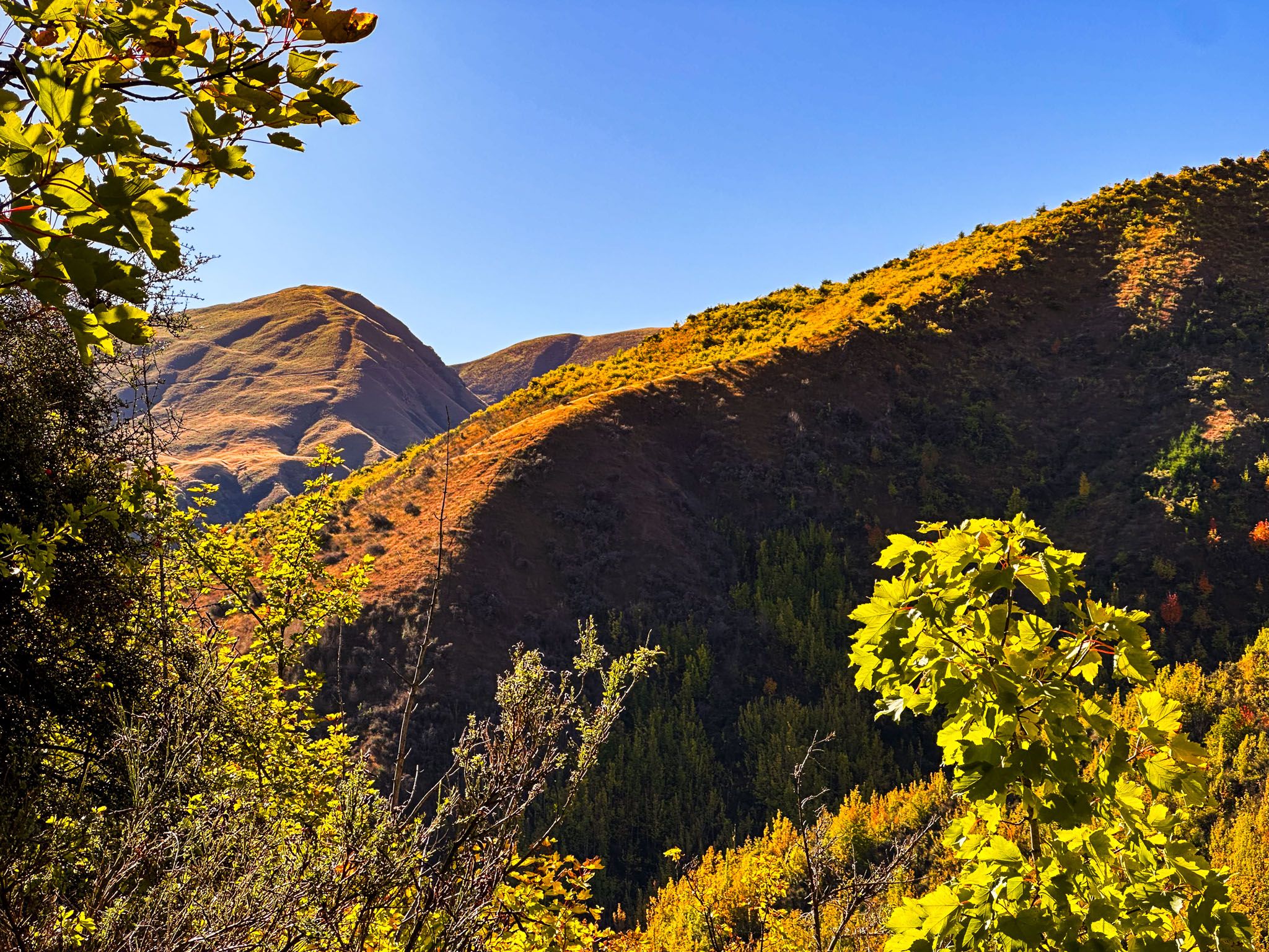
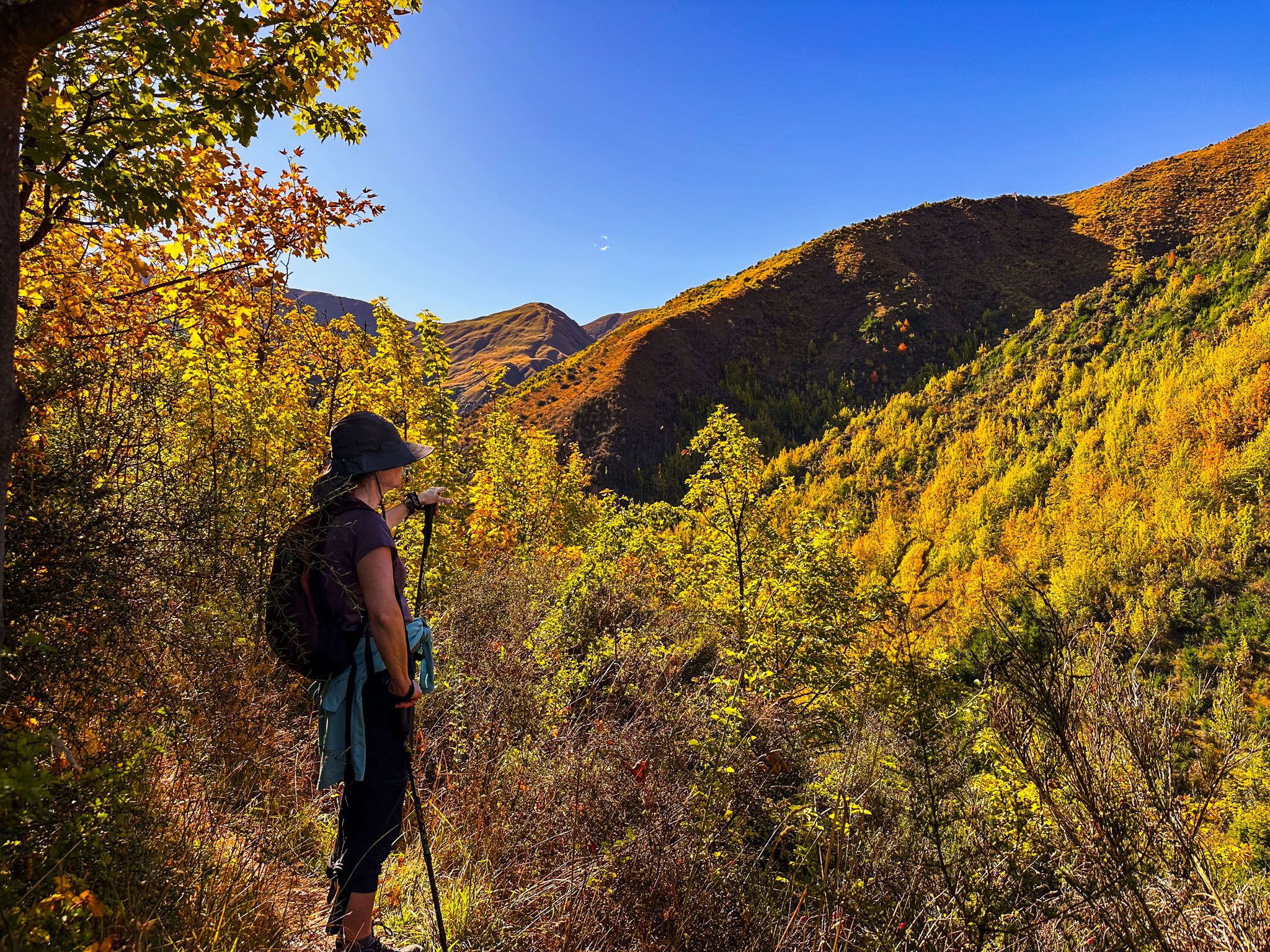
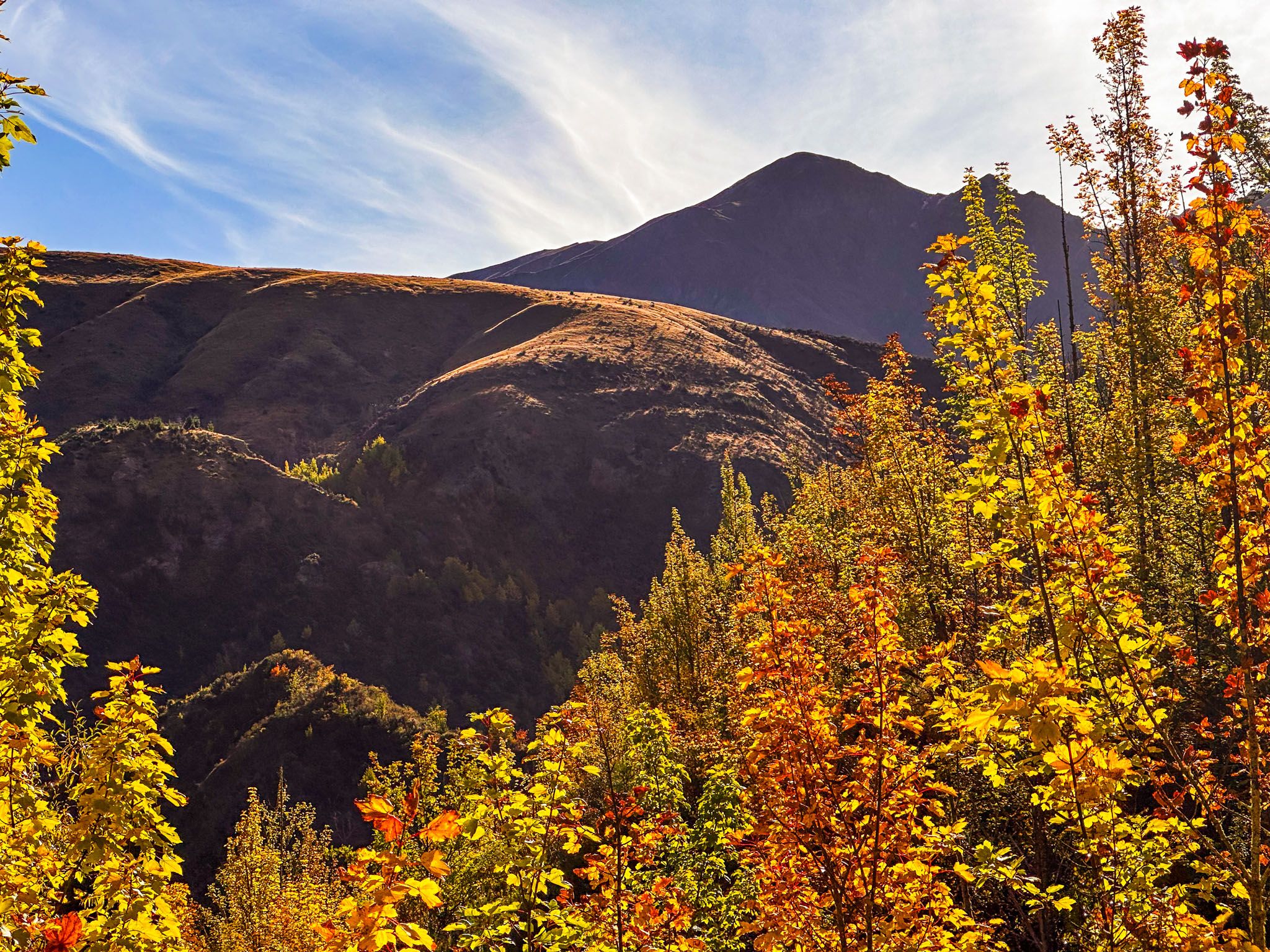
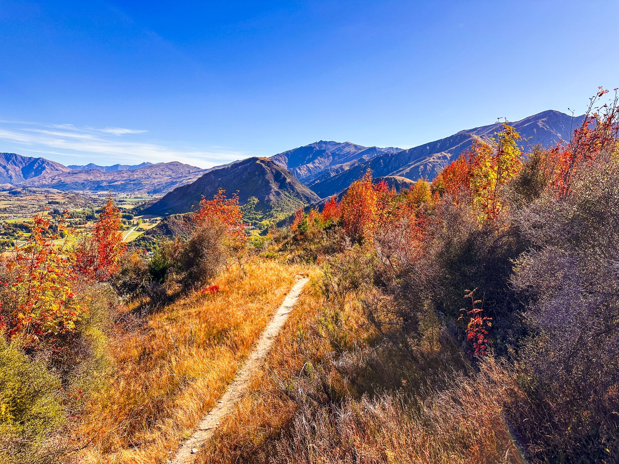
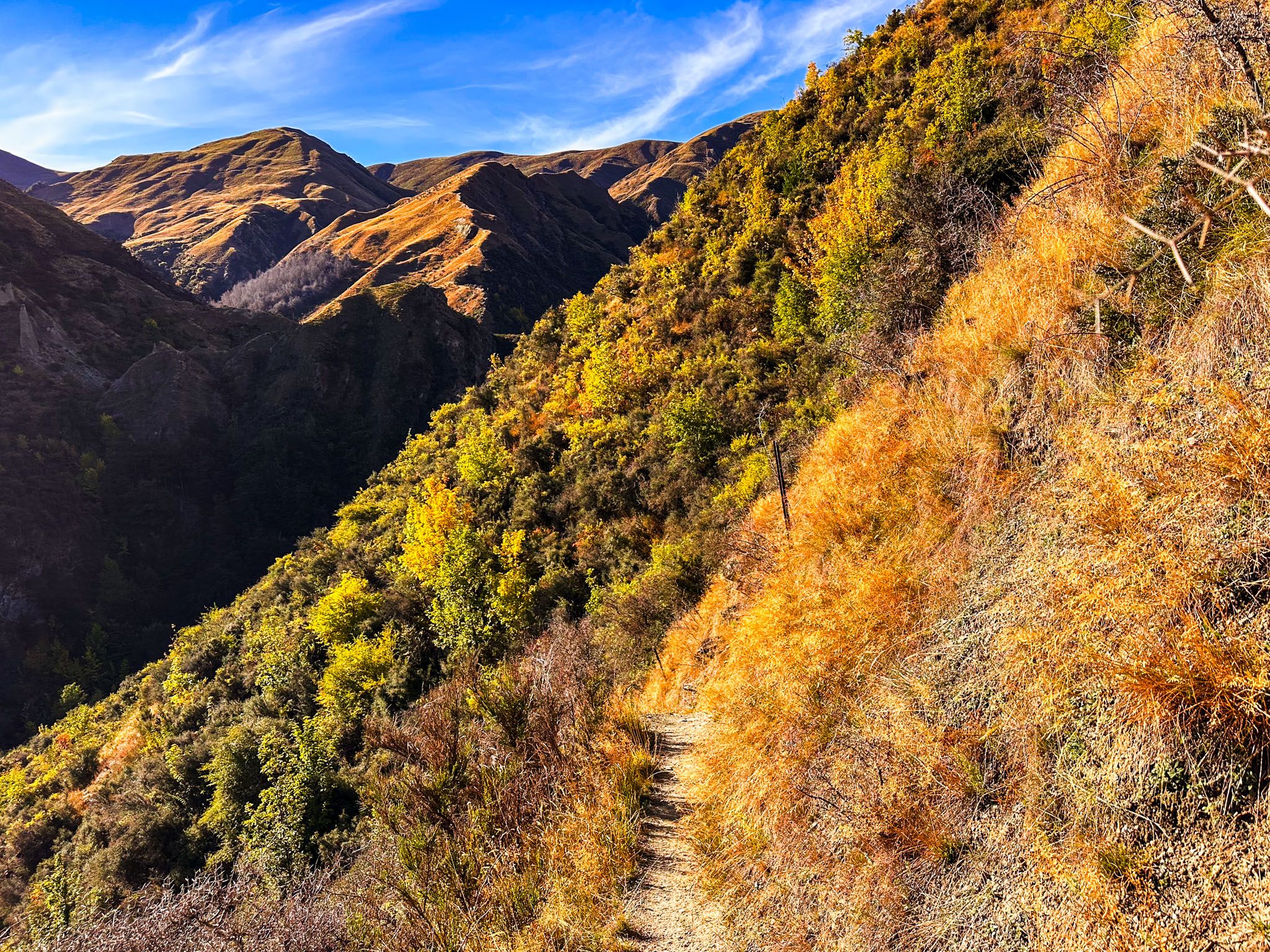
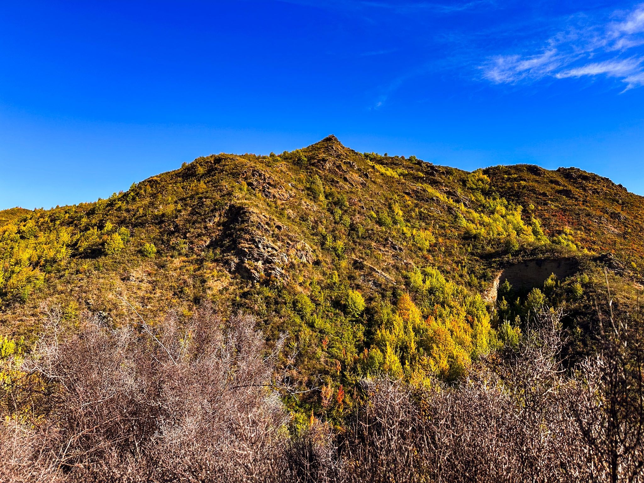
A short, steep climb out of the gully leads to a longer ridge with impressive views of the Wakatipu Basin. From here, the walk to Tobins Track is easy and mostly downhill. Tobins Track then connects to the Arrow River Trail, guiding you back to Arrowtown.
The hike for the loop hike takes approximately 2.5 hours.


Starting from Tobins Track
If beginning from Tobins Track, exercise caution near the ridge top where the track splits without a sign. Although a detailed map is available at the intersection, it may not align with Topo Map NZ. Keep left (uphill) unless you wish to extend your walk by an additional 7 km via the New Chum Ridge.
Historical Significance
The track is linked to the early gold mining era. Miners established claims in the area in 1863, attracted by the gully's intersection with the Arrow River. However, it was not a place where fortunes were made.
How to Get There
Arrowtown can be reached from State Highway 6 on Centennial Avenue at the east end of the Wakatipu Basin, or from Queenstown on Gorge Road, then Malghans Road. Parking is next to the start of the Arrow Gorge and Arrow River Track, beside the town centre and next to the river.
Nearby, you can also explore the Sawpit Gully Track, another hiking track with rough sections that takes you around 780 metres of German Hill on the north side of the Arrow River. A more sedate, but equally scenic walk, is available at Lake Hayes, south of Arrowtown.