Discover the Scenic Arrow River Trail
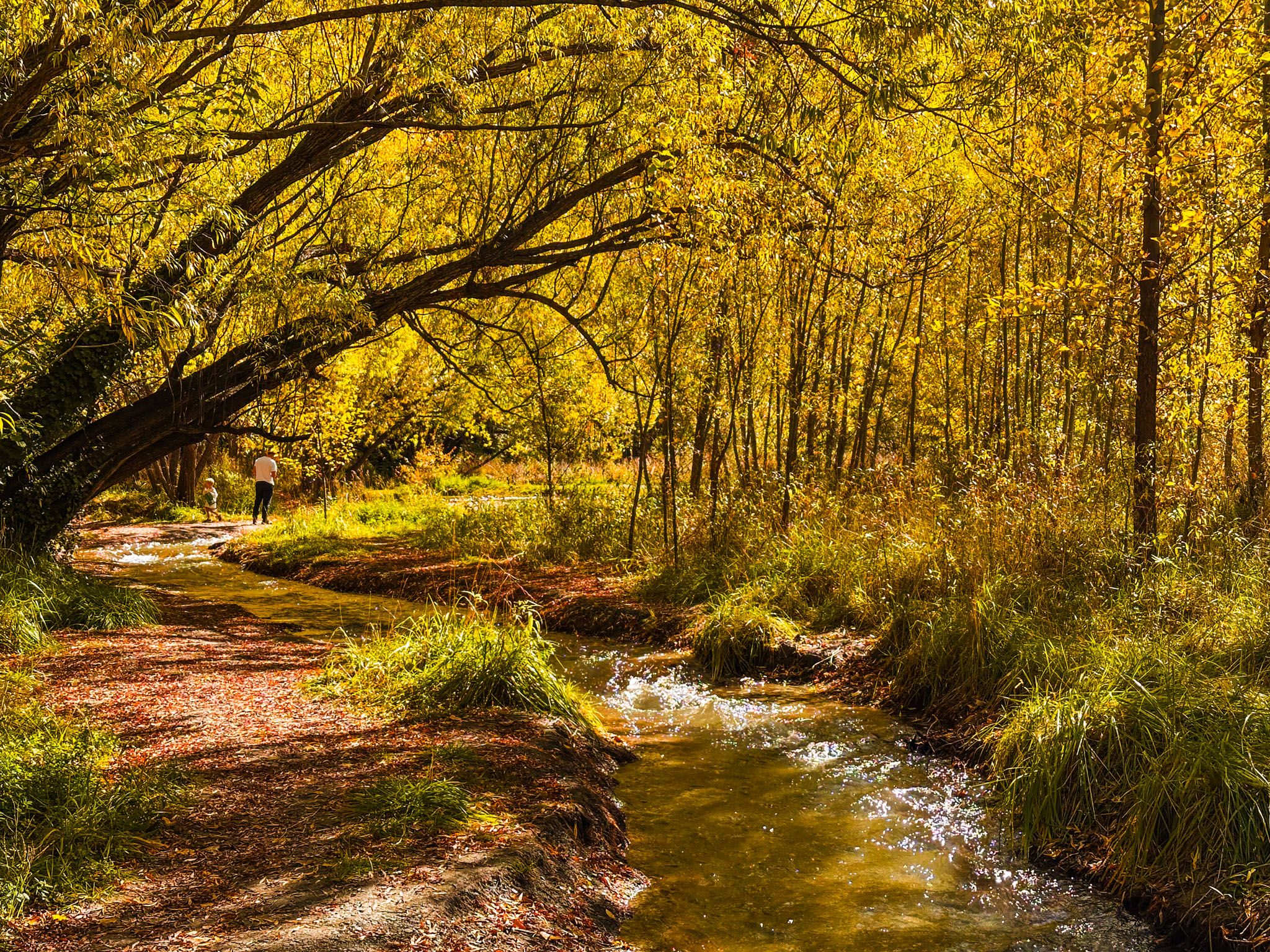
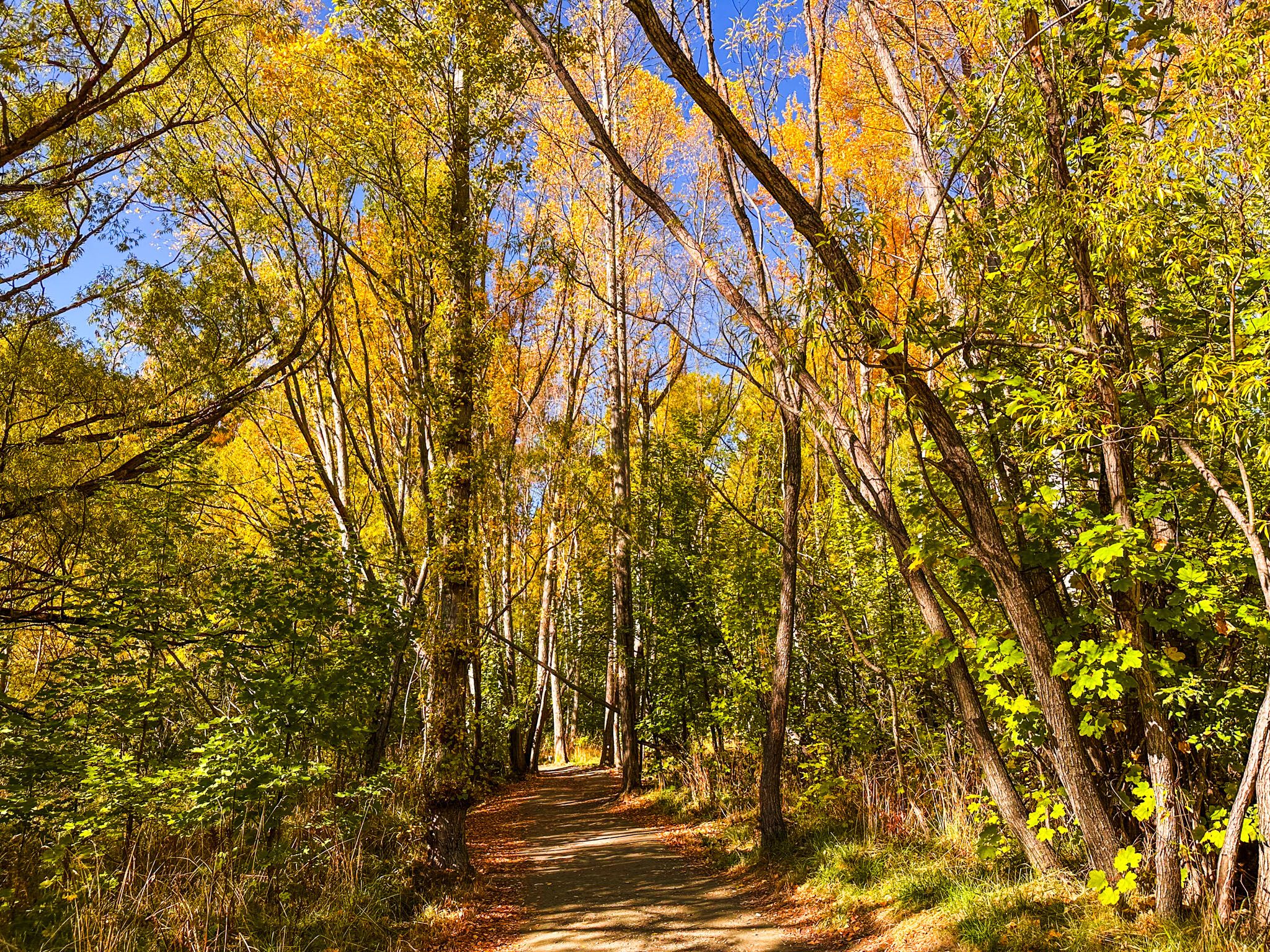
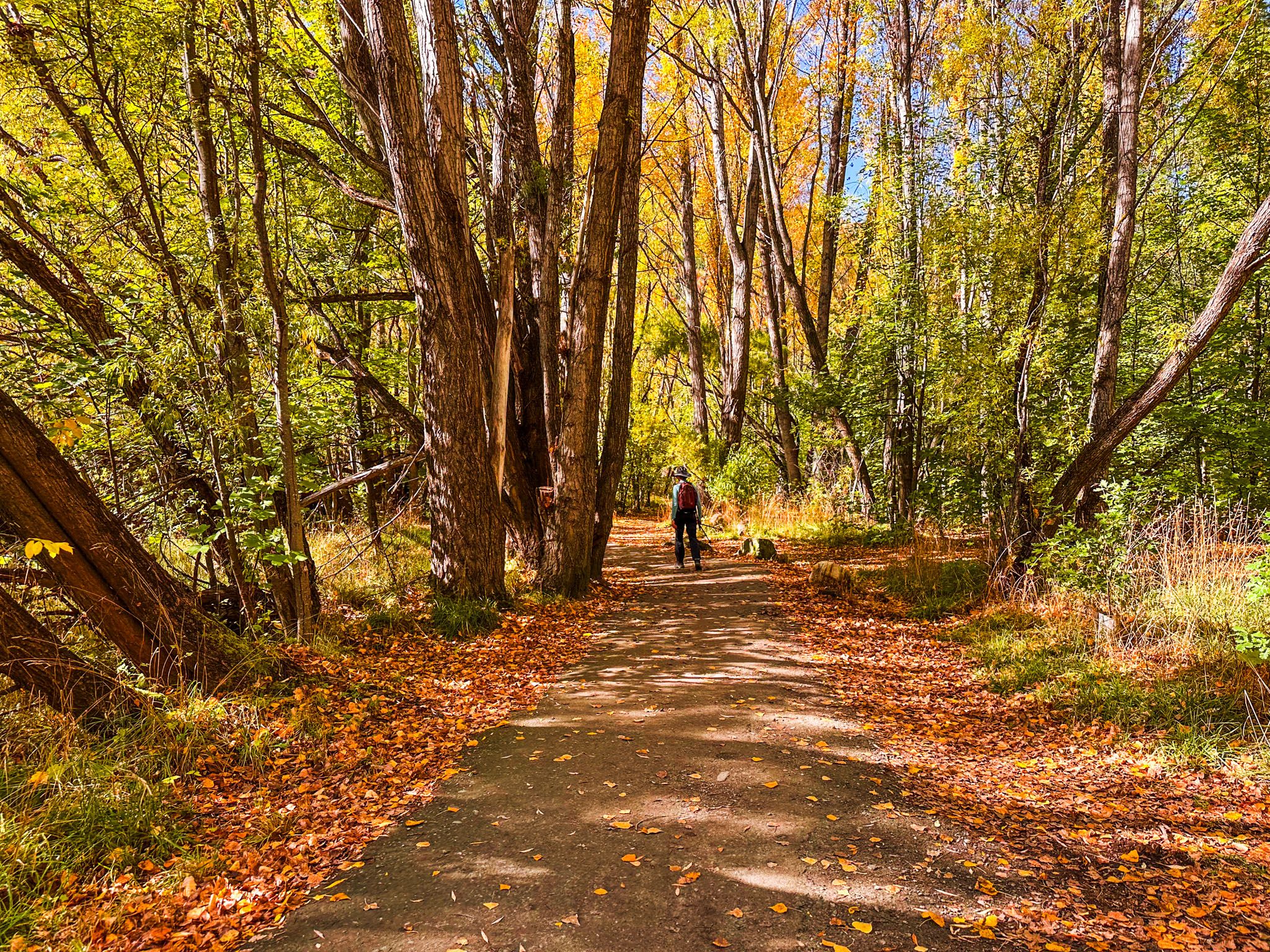
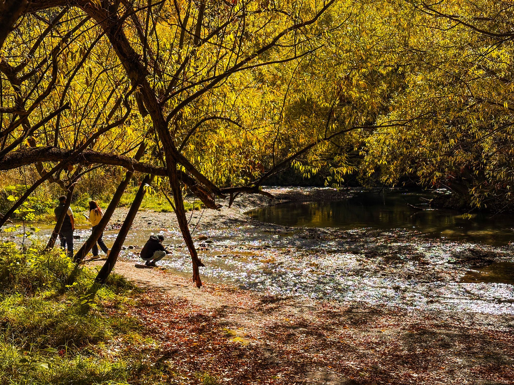
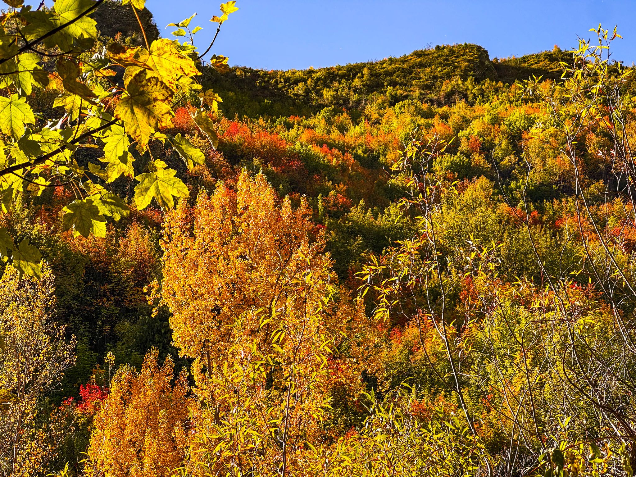
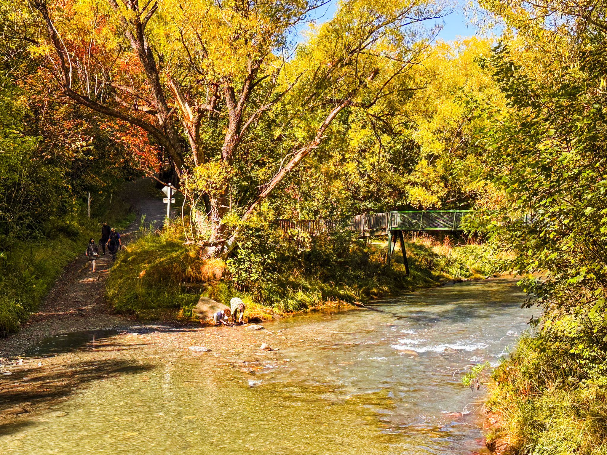
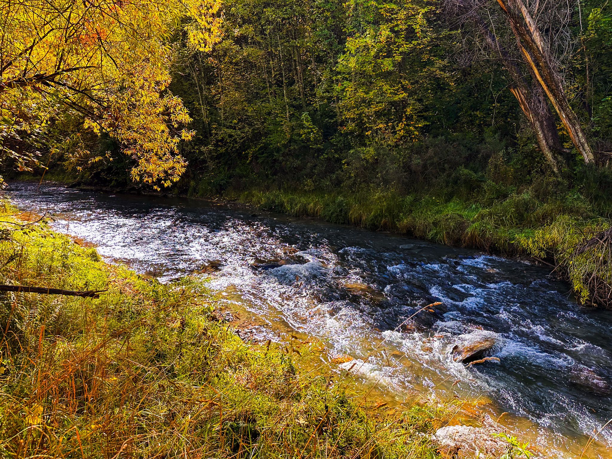
Located in the charming town of Arrowtown, the Arrow River Trail, also known as the Millennium Walkway, offers a picturesque 4.2 km loop along the banks of the Arrow River. This trail is particularly captivating in autumn, thanks to the vibrant colours of the exotic deciduous trees like poplars and willows, which were planted during the early European settlement. The trail provides a serene and flat walking experience, making it an ideal spot for a leisurely stroll amidst stunning natural beauty.
Trail Highlights and Features
The trail begins at the main river car park in Arrowtown and initially follows the south side of the river for 2 km downstream to Tobin Bridge. Along this stretch, visitors can easily access the shallow river at various points. From Tobin Bridge, the trail forms a 4.2 km loop that runs along both sides of the river, with the total distance back to the car park being approximately 8.2 km. While exploring, you might notice "The Gladden Fields" from The Lord of the Rings marked on Google Maps early in the walk; however, there is nothing significant to see there.
Cycling and Trail Extensions
The Arrow River Trail is shared with cyclists as part of the Queenstown Trail. The section starting from the Tobin Bridge and continuing towards the Kawarau River is known as the Arrow Bridges River Trail. This extends the trail by 13.7 km to Gibbston, featuring five bridges over the Arrow River, including the Southern Discoveries bridge and the historic Kawarau suspension bridge.
For those looking to extend their walk from the Tobin Bridge, you can take Tobins Track, which ascends 250 metres and provides superb views from the north side of the river. This detour takes about an hour round-trip from the bridge.
Hiking Options
Halfway up Tobins Track, you will find the turnout for the New Chum Gully Track. This is a more rugged hiking track that loops over the ridge and descends into New Chum Gully, eventually connecting with the Arrow Gorge Track. If you choose this route, allow two to three hours to complete the loop from Arrowtown.
Getting to the Arrow River Trail
To reach the Arrow River Trail, head to Arrowtown and park at the main river car park, where the trail begins. From Queenstown, take State Highway 6 and follow the signs to Arrowtown. Once in Arrowtown, the river car park is between the river and the historic town centre precinct
While in the area, consider exploring other nearby attractions such as Lake Hayes, the historic Arrowtown village, the historic Chinese Miner settlement and the Sawpit Gully Track, which also connects to the Arrow Gorge.