Exploring Te Whaiti Road
Te Whaiti Road is a 20-kilometre sealed section of a larger 220-kilometre route that stretches from Rotorua through Te Urewera and Waikaremoana to Wairoa on New Zealand's East Coast. This particular segment connects Murupara, located on the eastern edge of Kaingaroa Forest, to the small settlement of Te Whaiti. The main reason to travel this road is its access to Whirinaki Te Pua-a-Tāne Conservation Park.
A Journey Through Diverse Landscapes
Starting from Murupara, the road traverses a flat section along a wide valley where the Whirinaki and Rangitaiki Rivers meet. As you continue, the road ascends into the Korongohukore Hills, which rise over 500 metres. This area is predominantly covered with exotic pine forests.
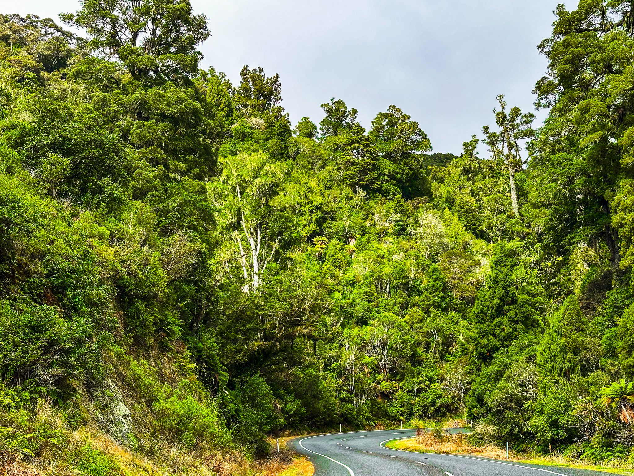
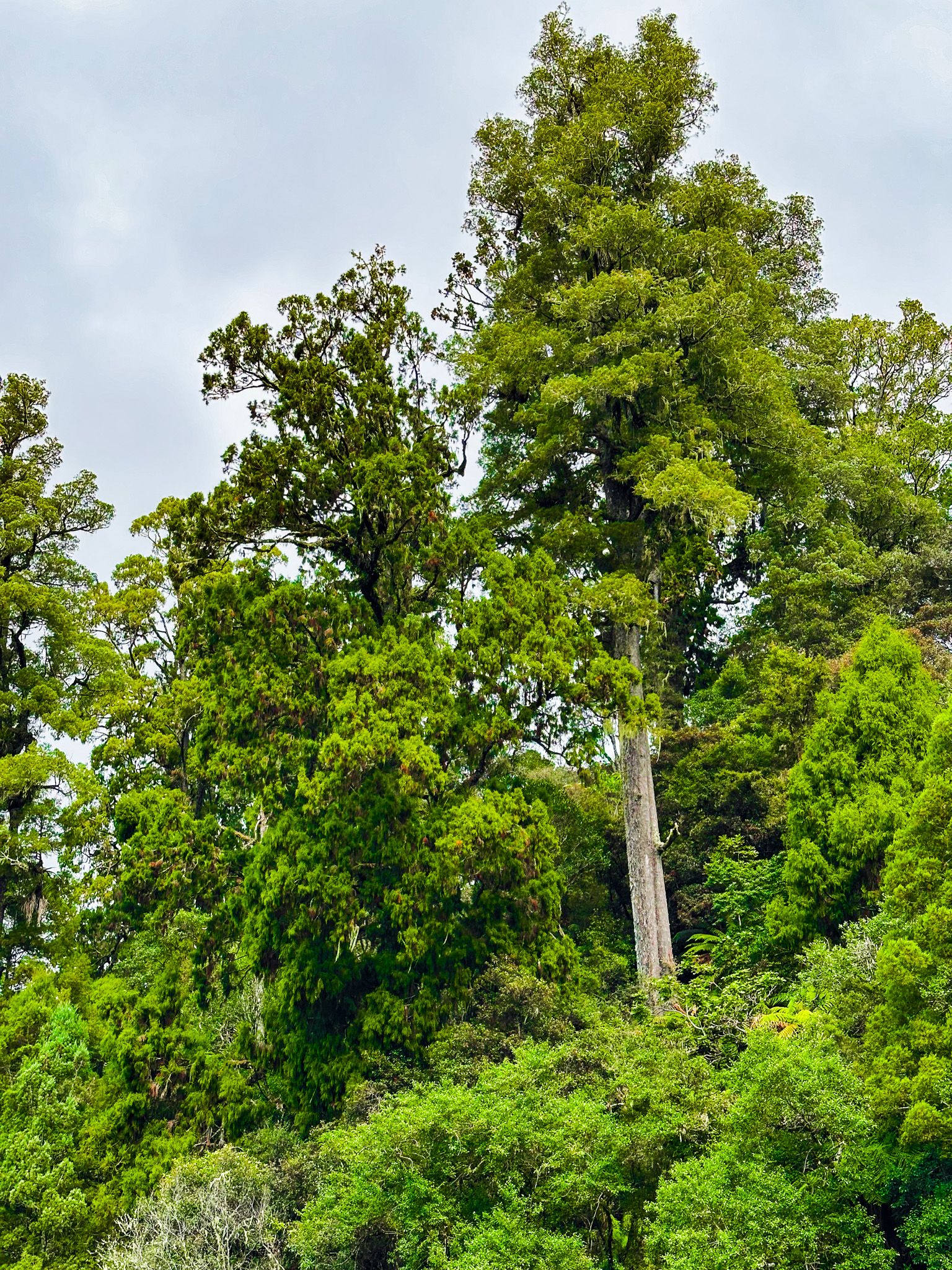
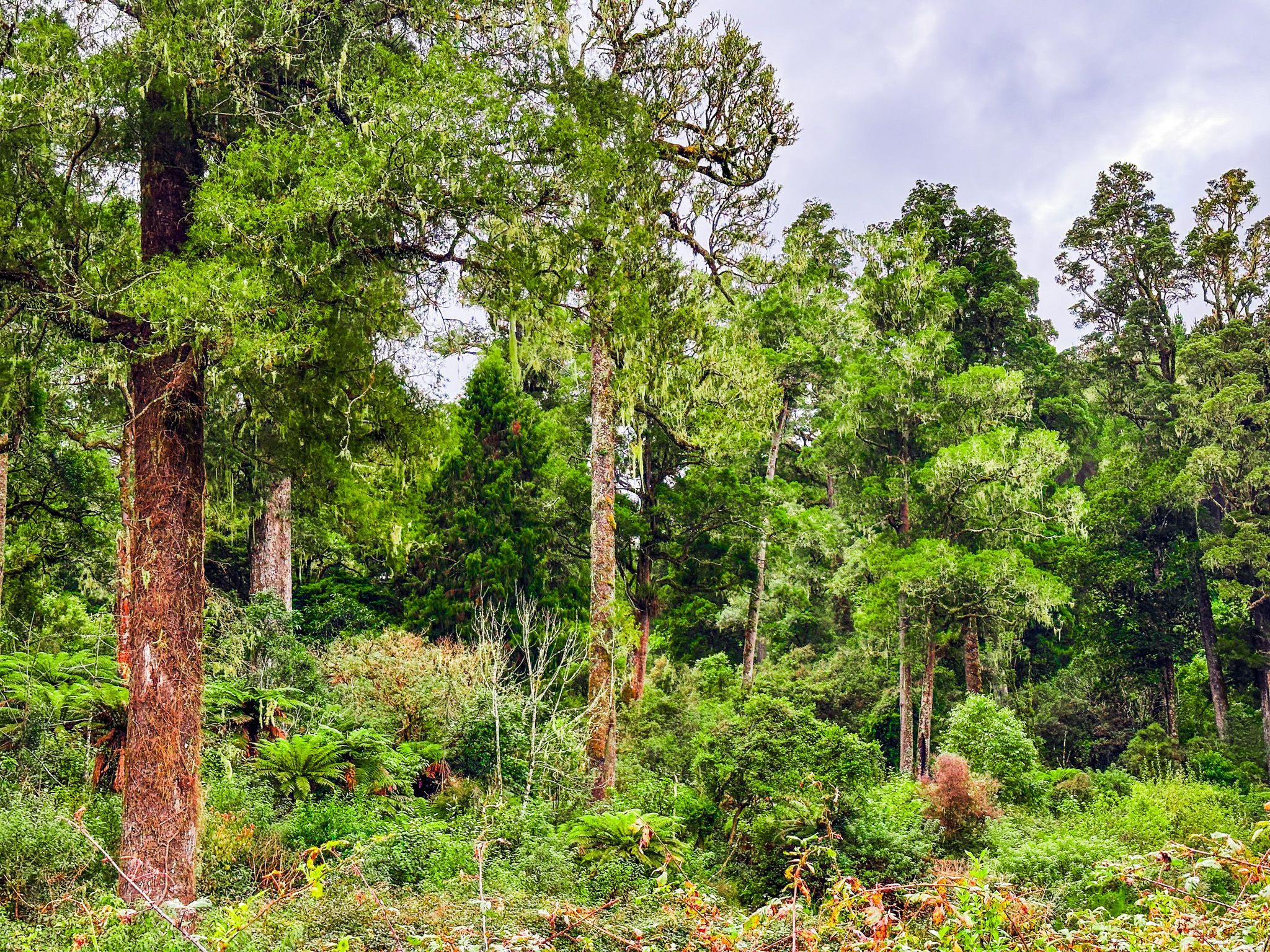
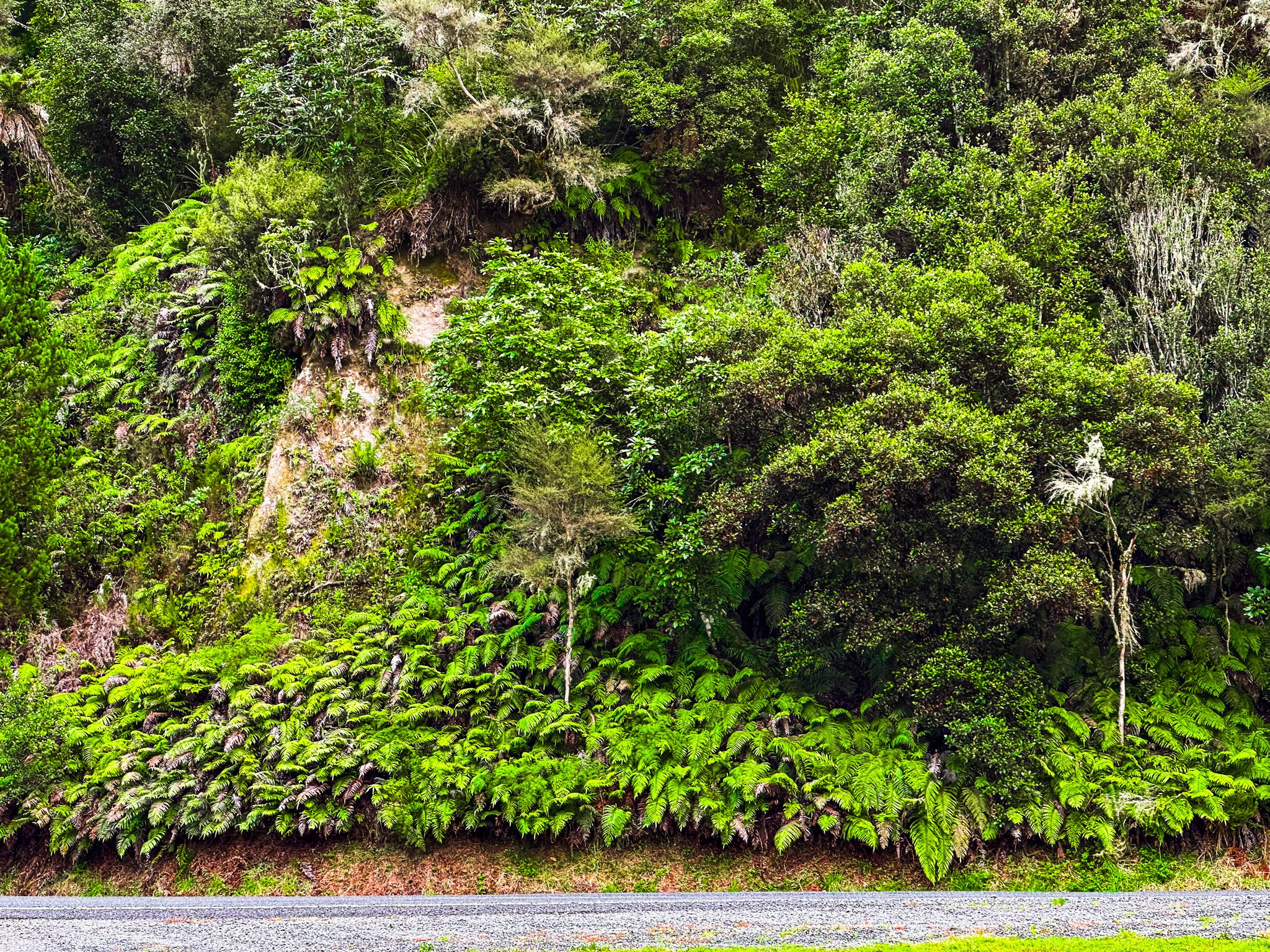
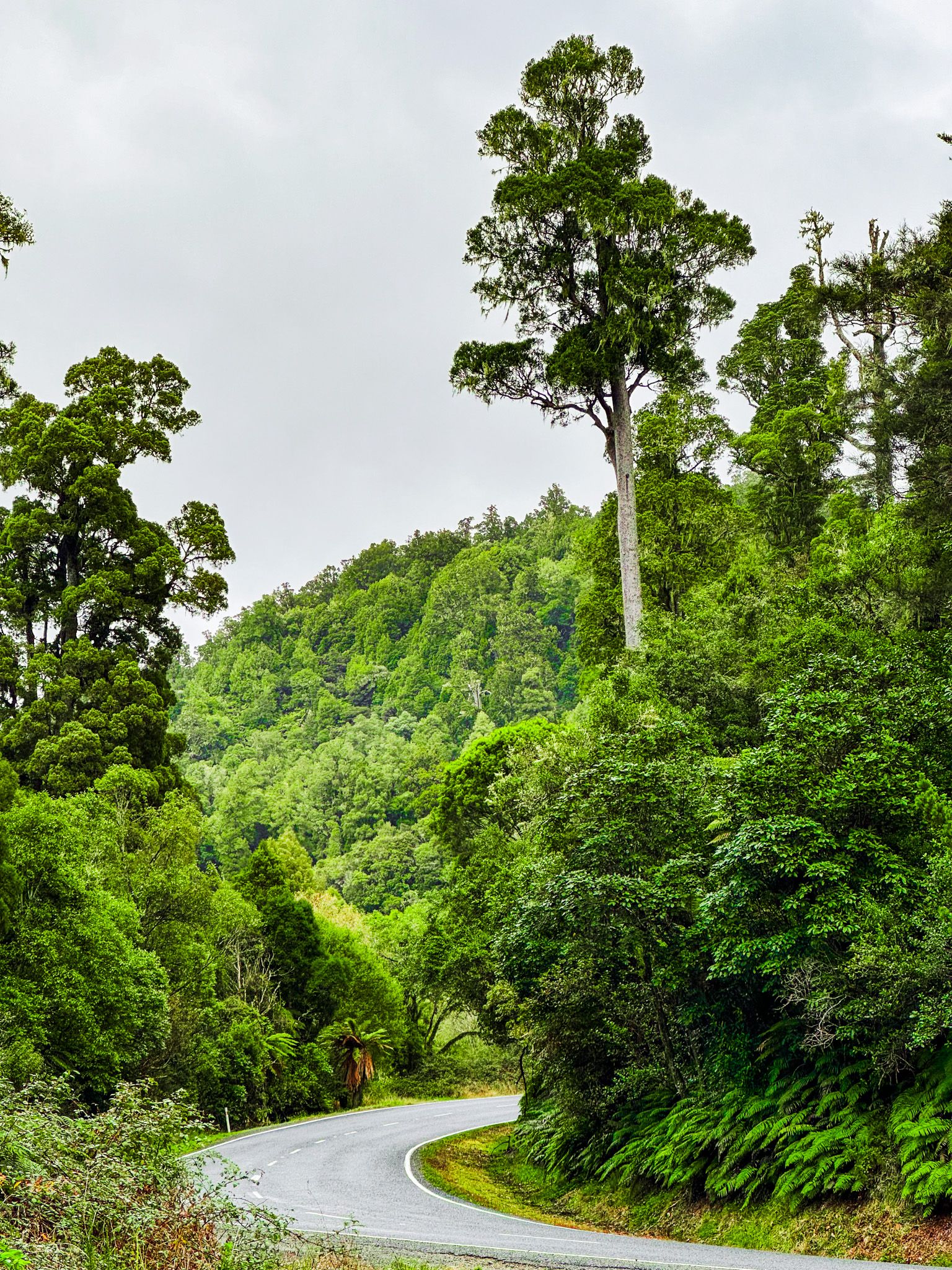
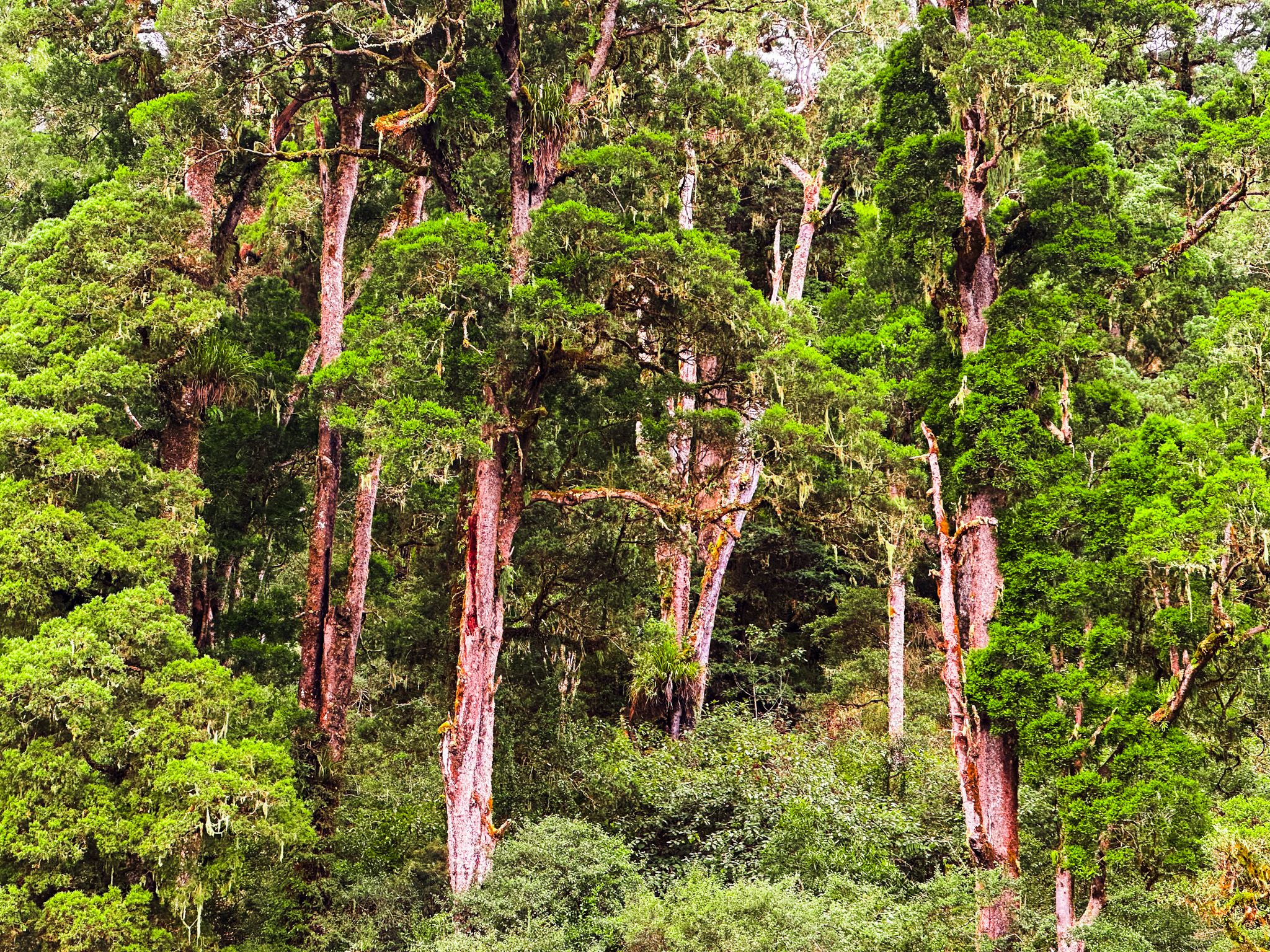
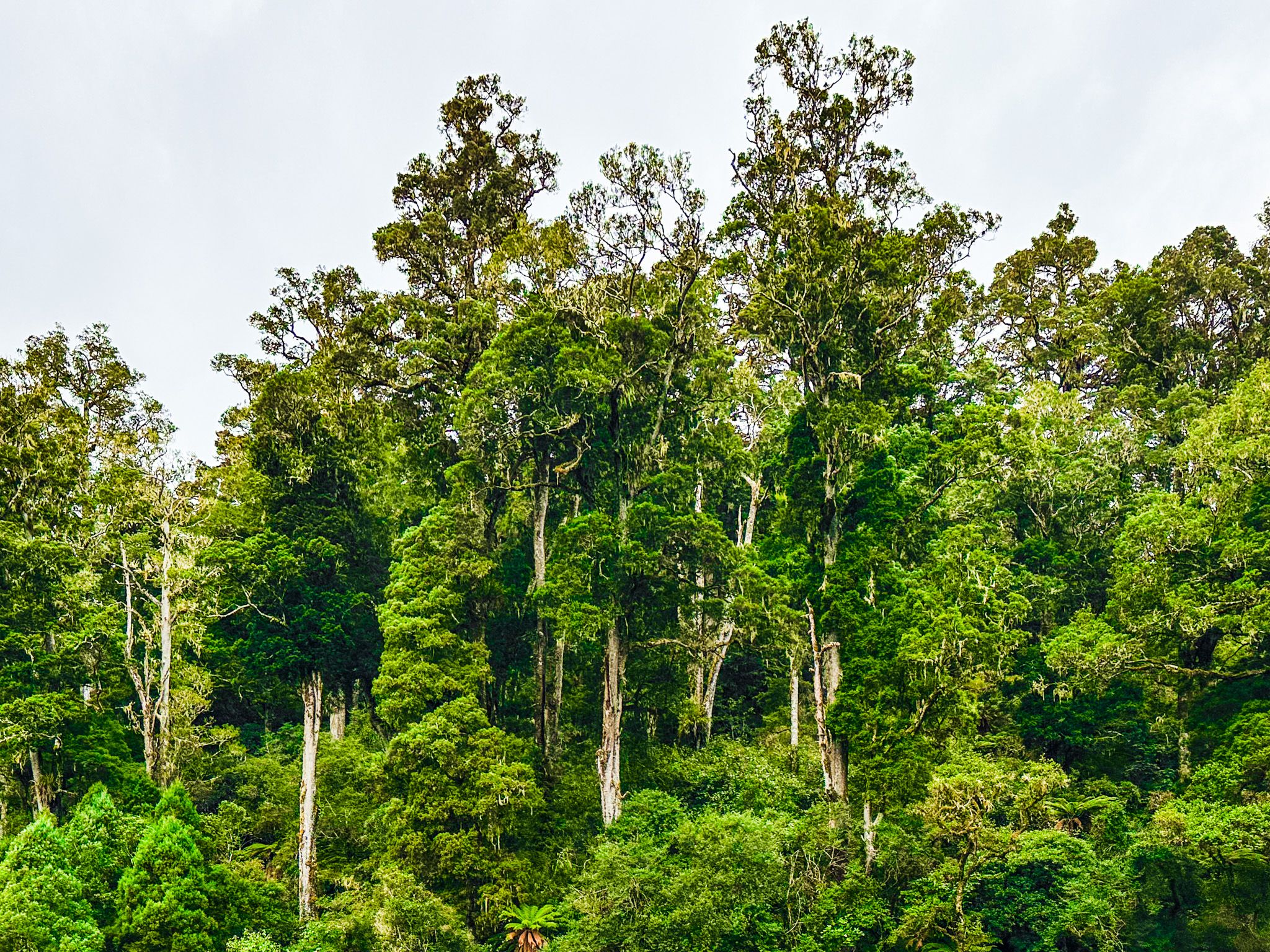
About halfway to Te Whaiti, the road enters the Whirinaki Forest, where tall mature native trees line both sides, creating a picturesque drive. There are several safe spots to stop and capture the beauty of the surroundings.
Closer to Te Whaiti, the landscape transitions back to exotic pines as the road follows and then crosses the Whirinaki River just before reaching the turnoff at Te Whaiti.
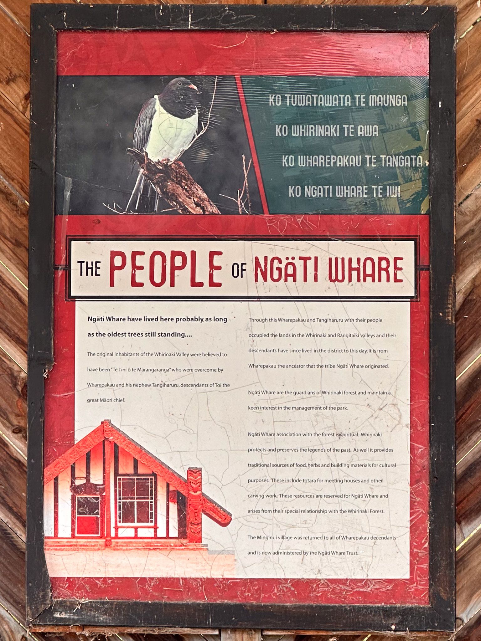
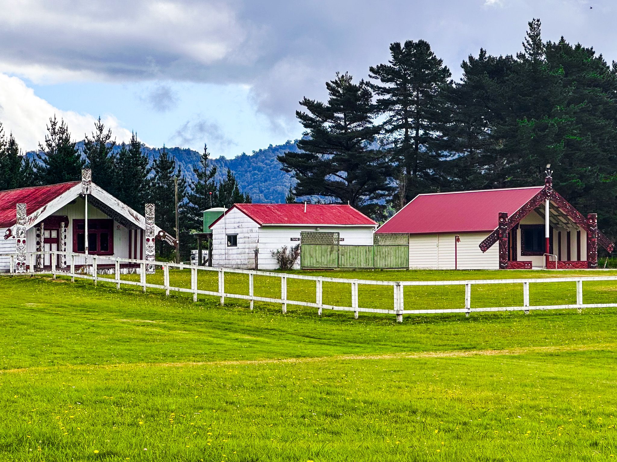
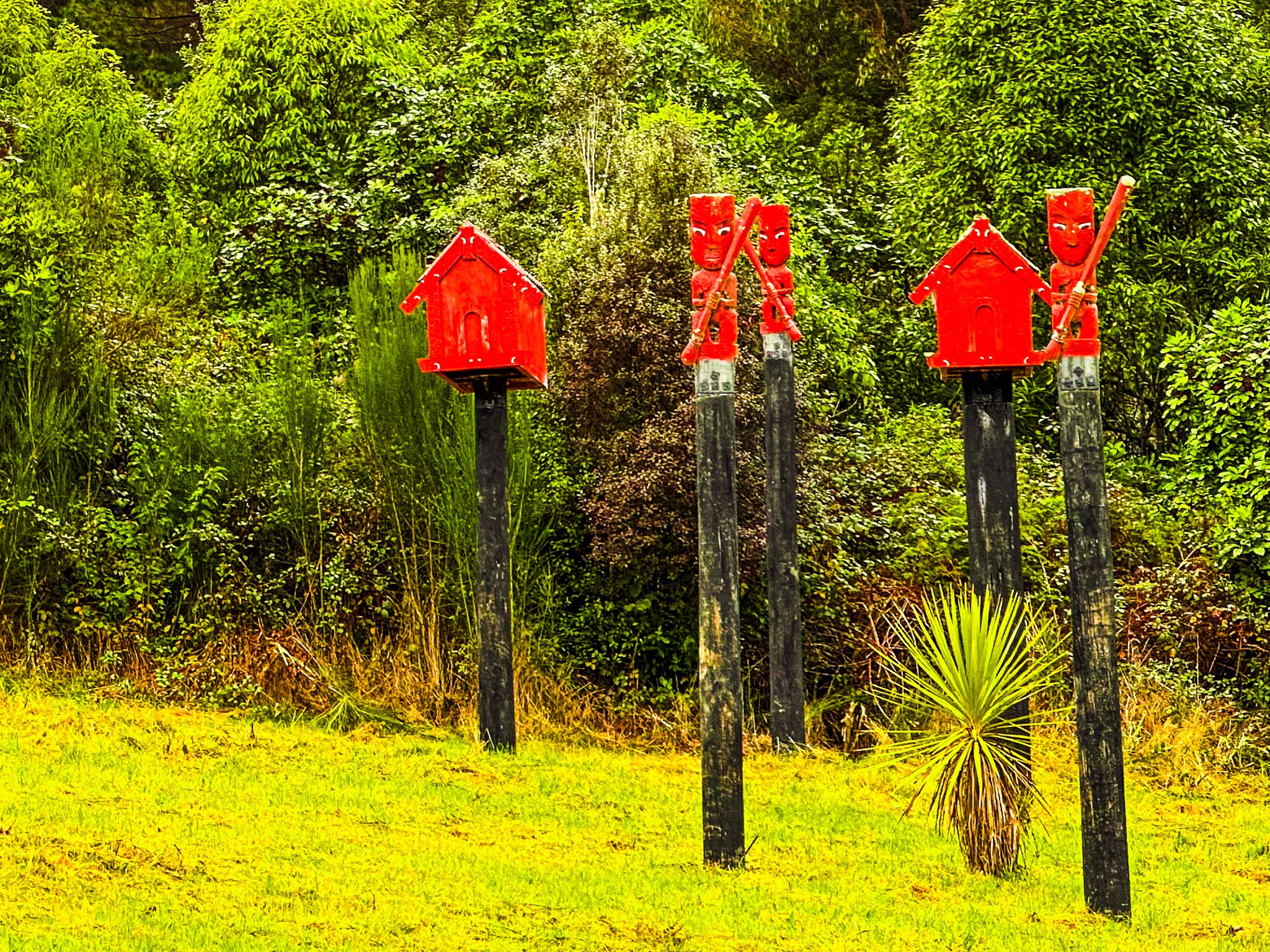
Cultural Insights at Minginui Turnoff
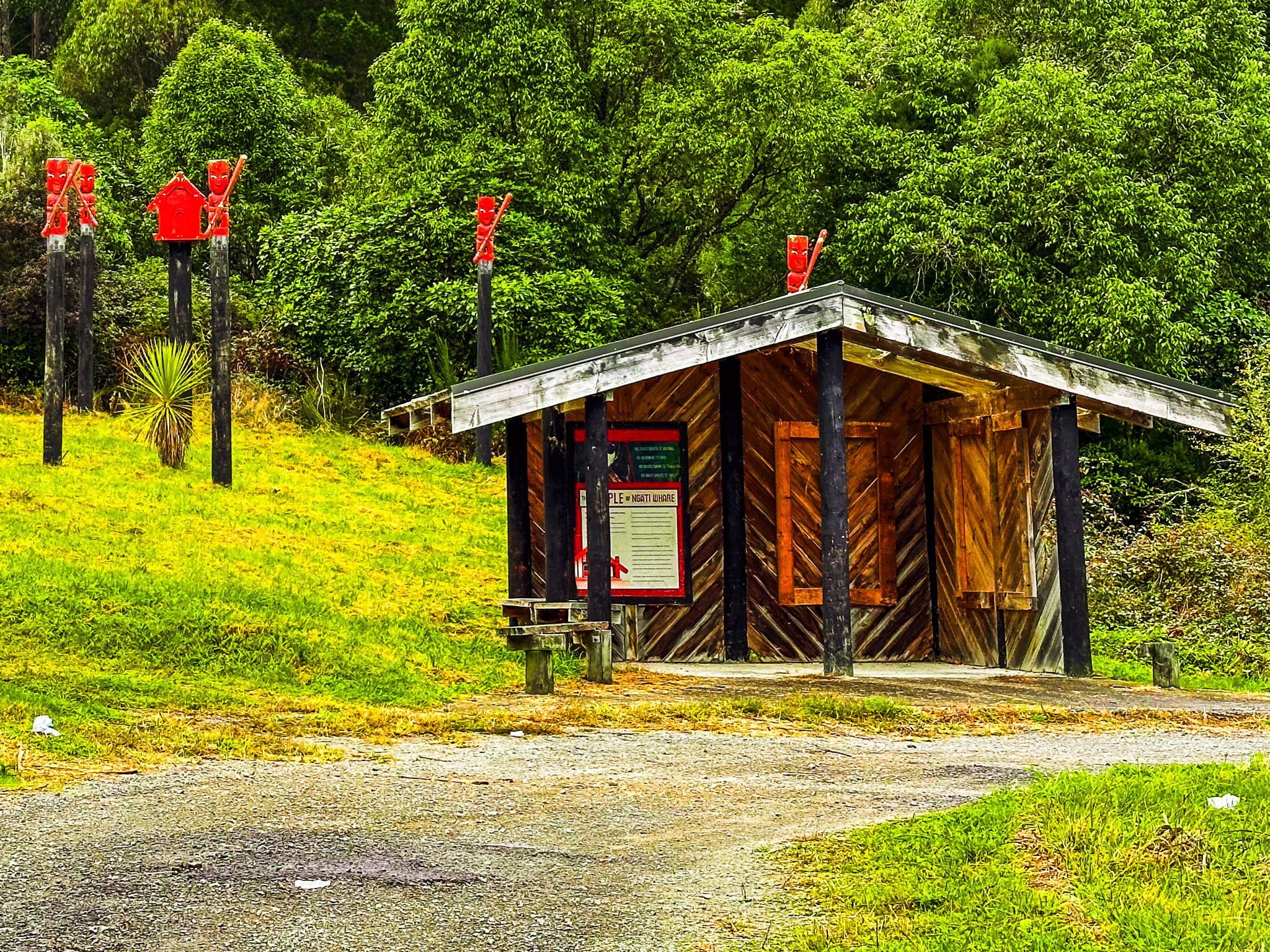
At the Minginui turnoff, you'll find a shelter with an informative panel detailing the relationship of the Ngāti Whare people with Whirinaki. This area is adorned with several colourful pou, providing a glimpse into the local culture. Nearby, the colourful local school and marae are along Minginui Road.
How to Get There
To reach Te Whaiti Road from Rotorua, take State Highway 5 southeast to Rainbow Mountain. There, turn east onto State Highway 38 and follow this through Kaingarora Forest to Murupara. From Murupara, follow to Te Whaiti. The drive to Murupura is 60 km and takes about 45 minutes.
From T Waiti, you can access Mangamate, Minginui, River Road, Wiremu Merito Reserve and the astonishing Te Whaiti Nui a Toi Canyon.