Exploring Te Hakapureirei Beach
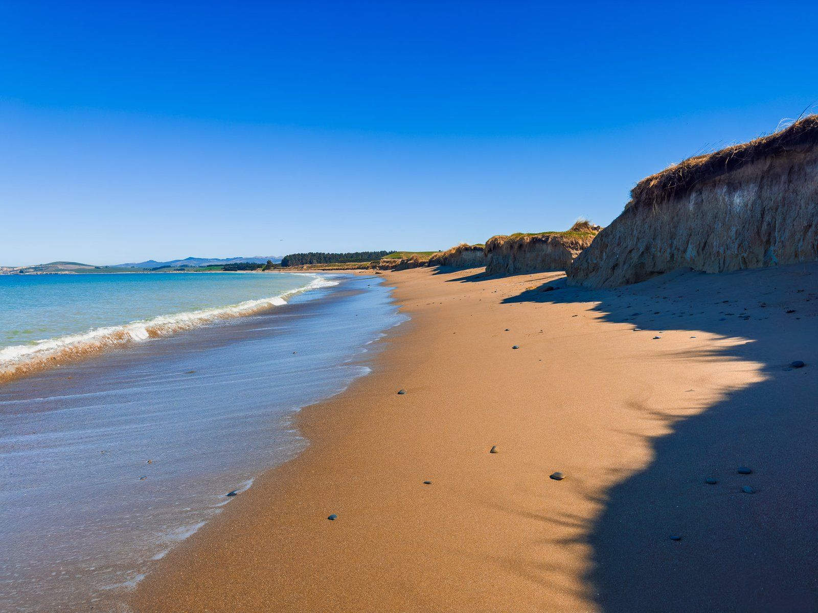
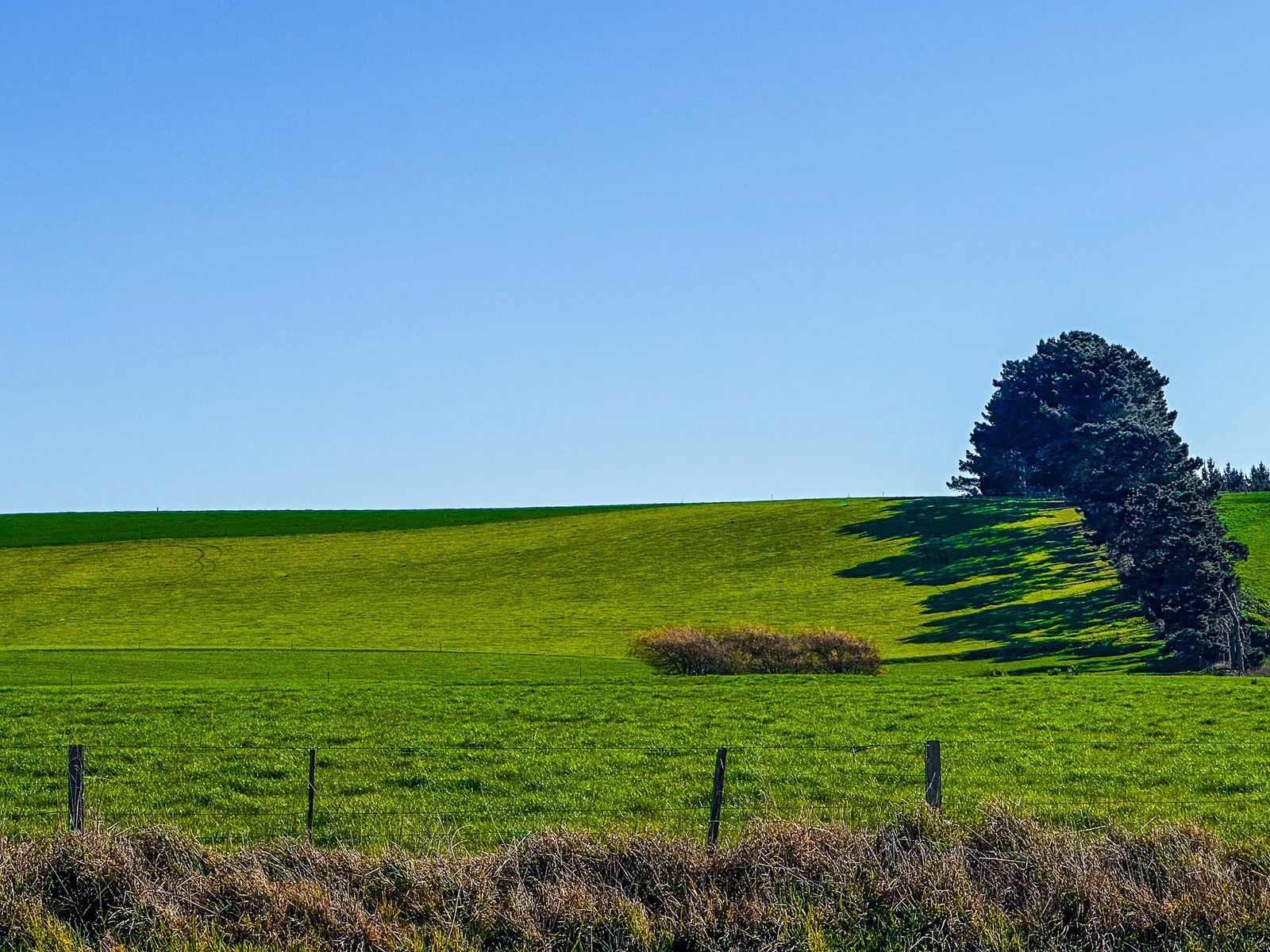
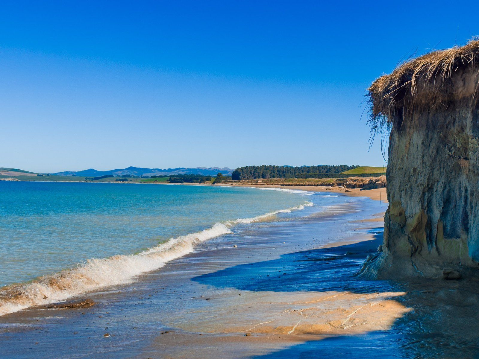
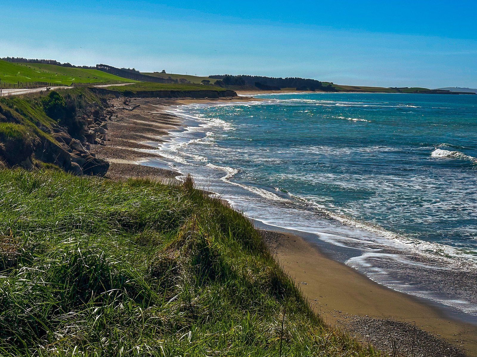
Te Hakapureirei Beach is a scenic stretch of coastline located below the eroding cliffs along Waianakarua Road in North Otago, New Zealand. This approximately four-kilometre-long beach is nestled between Bridge Point to the north and the mouth of the Waianakarua River to the south.
Access and Features
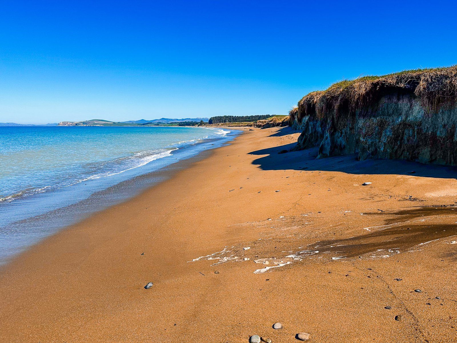
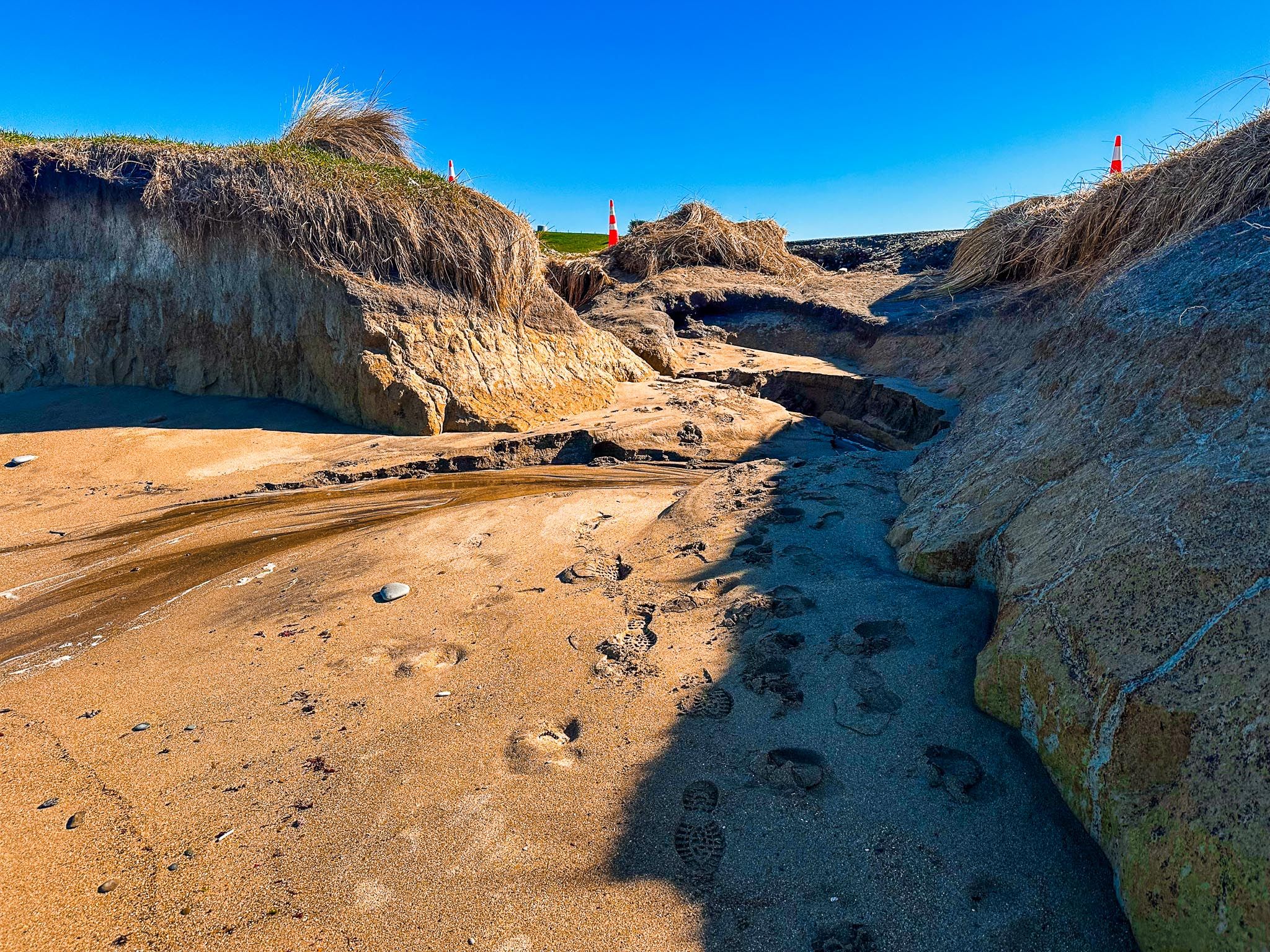
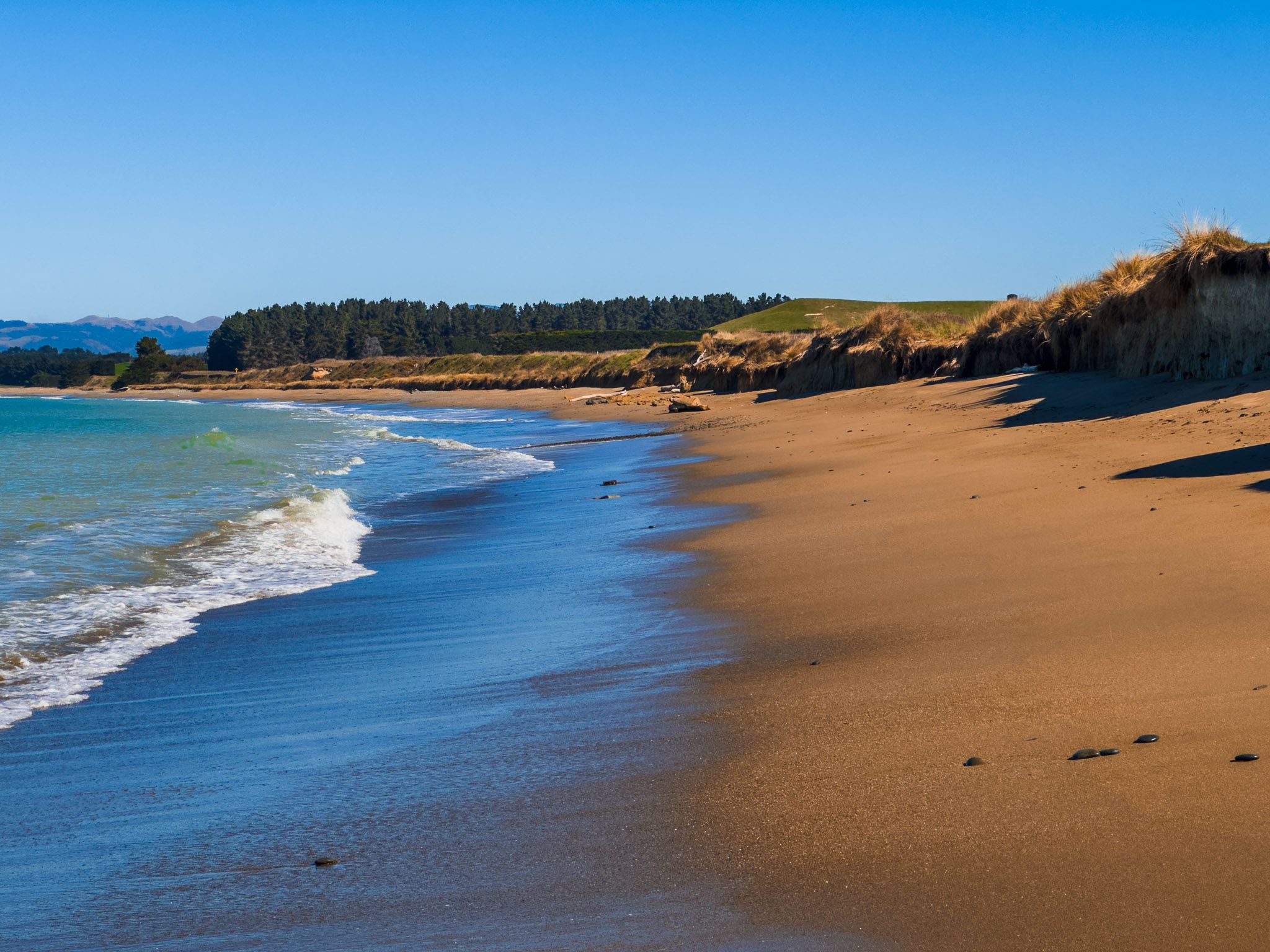
Due to the presence of cliffs, access to Te Hakapureirei Beach is limited to a single point. This access is located shortly after Bridge Point, where erosion has left just enough space for a couple of cars to park on the roadside. From there, visitors can descend a sandy slope to reach the beach.
Beach Activities and Exploration
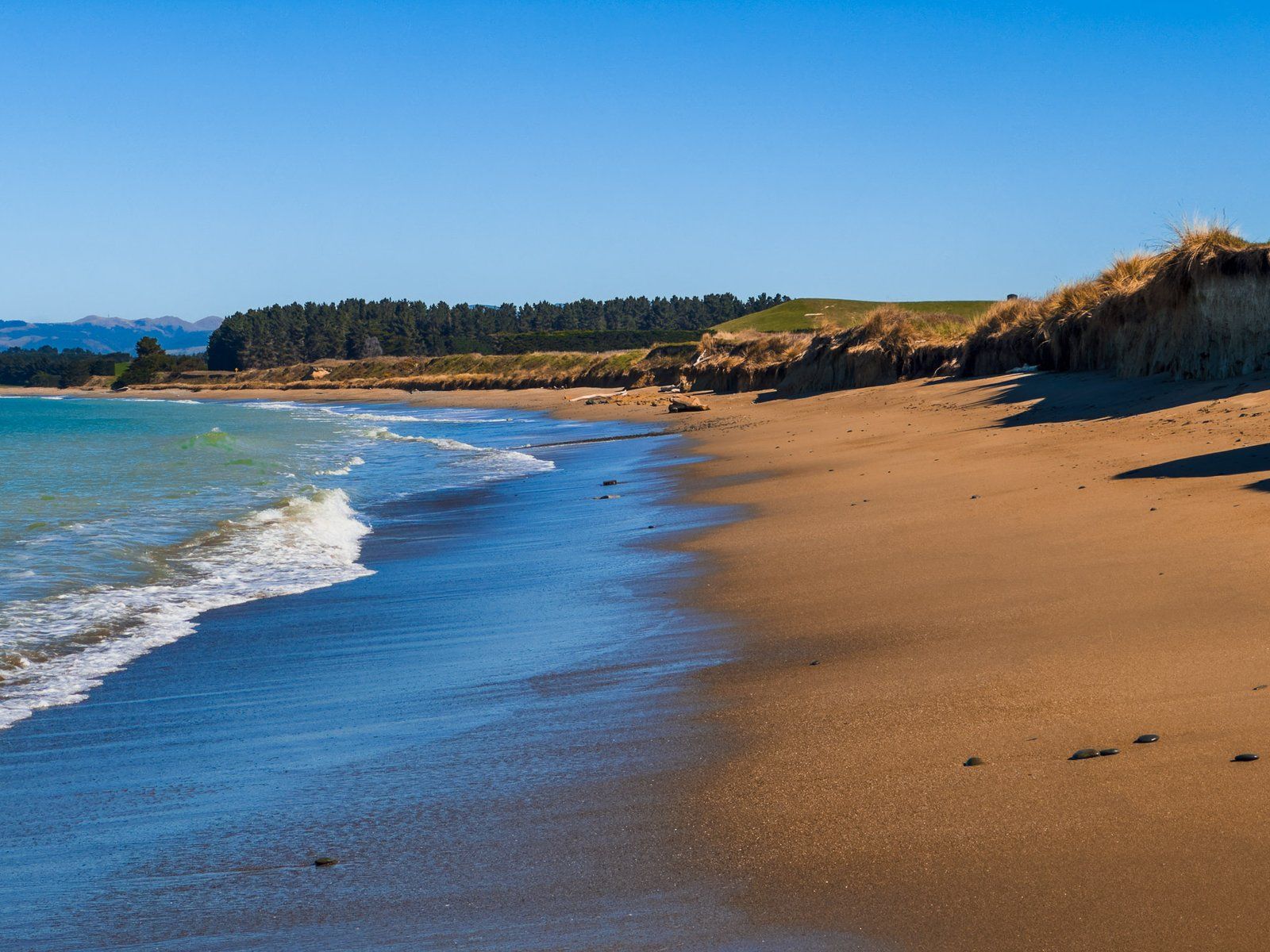
At high tide, the beach becomes narrow as waves reach up to the cliffs in places. However, as the tide recedes, ample space becomes available for visitors to relax and enjoy the surroundings. Walking north along the beach offers a better view of the natural bridge at Bridge Point. During low tide, it is possible to walk through this natural formation and explore the rock pools located around the end of the point.
Southern End and Nearby Tracks
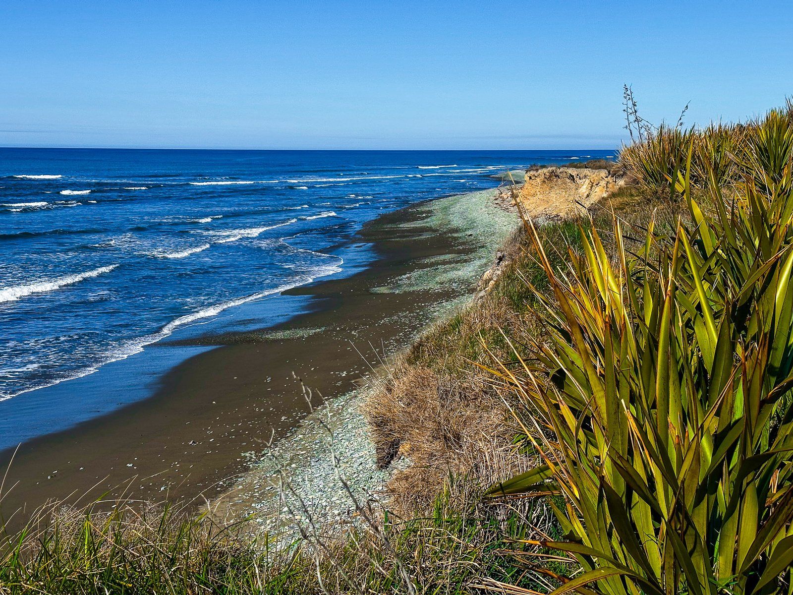
At the southern end of Te Hakapureirei Beach, Waianakarua Road veers westward to connect with State Highway 1. Just before this junction, there is a rough, unmaintained track leading to the Waianakarua River mouth, with further exploration opportunities.
How to get there
To reach Te Hakapureirei Beach from the south, take Waianakarua Road from State Highway 1, between Hampden and Herbert. From Kakanui to the north, take Waianakarua Road south along the coast. The beach is accessible shortly after Bridge Point, where limited roadside parking is available. From there, a sandy slope leads down to the beach.