Discovering Bridge Point on the North Otago Coast
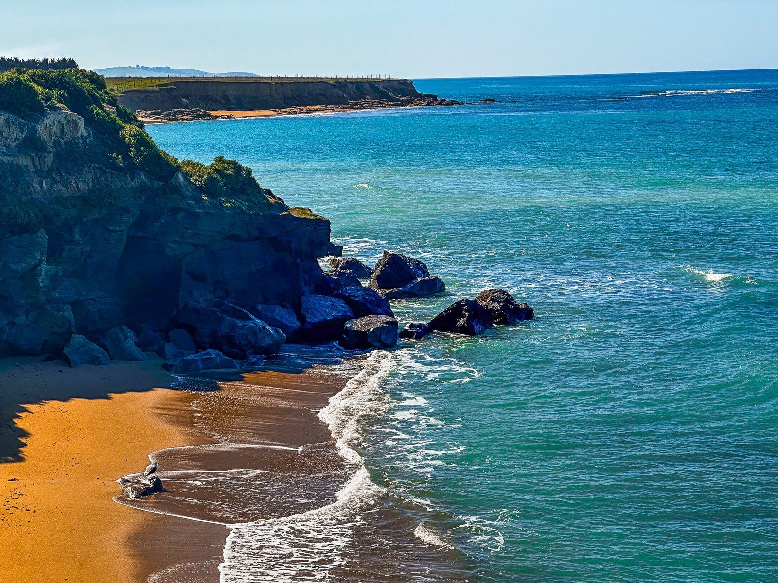
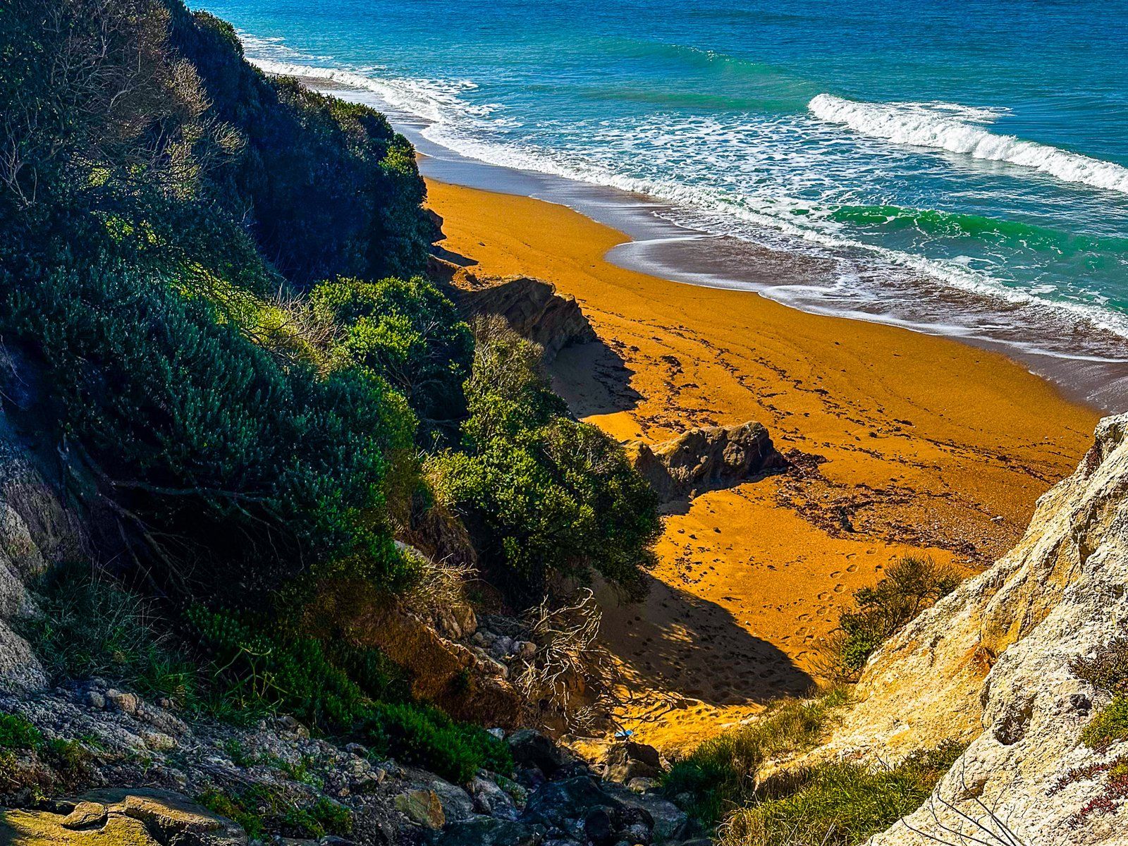
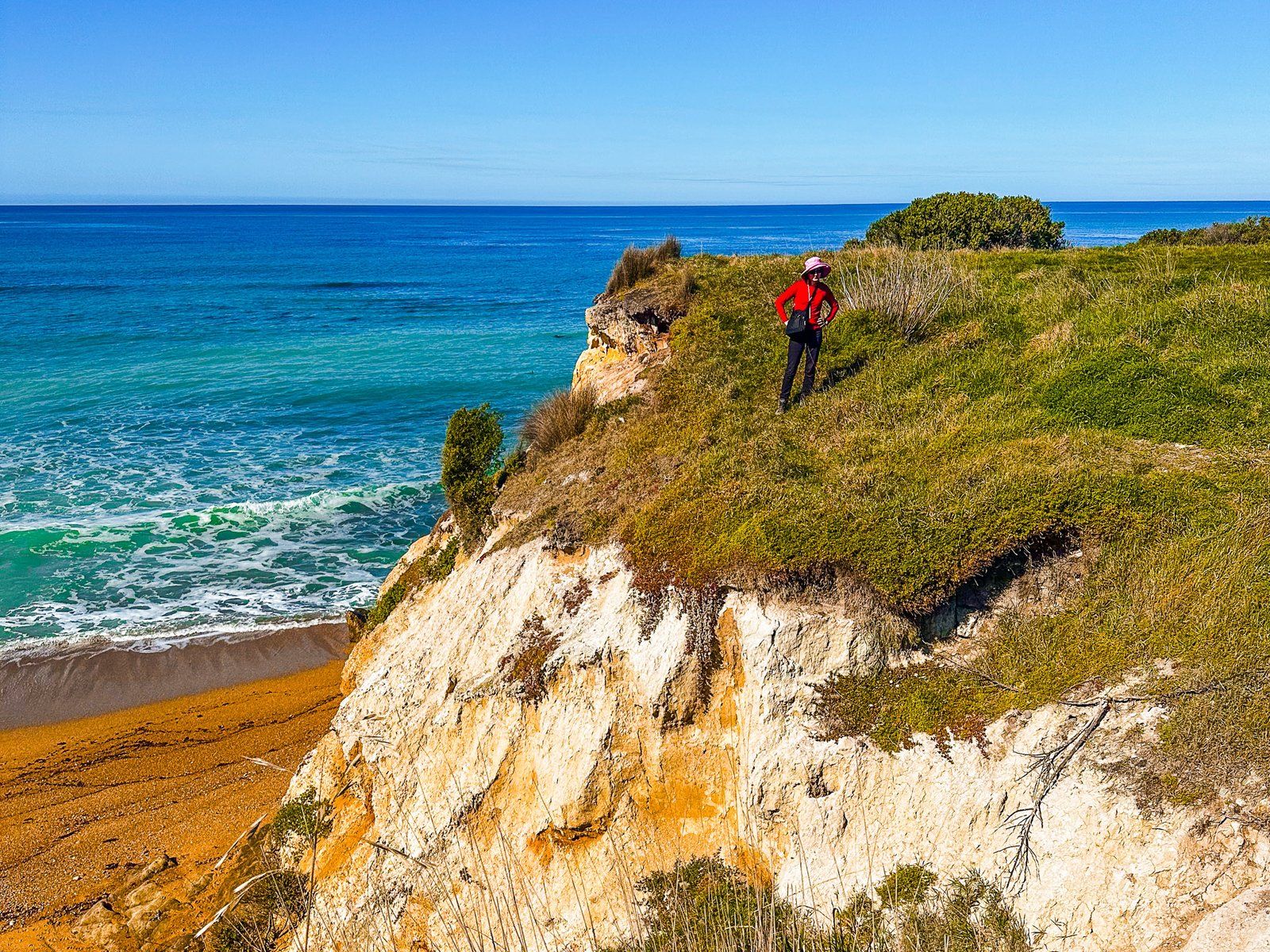
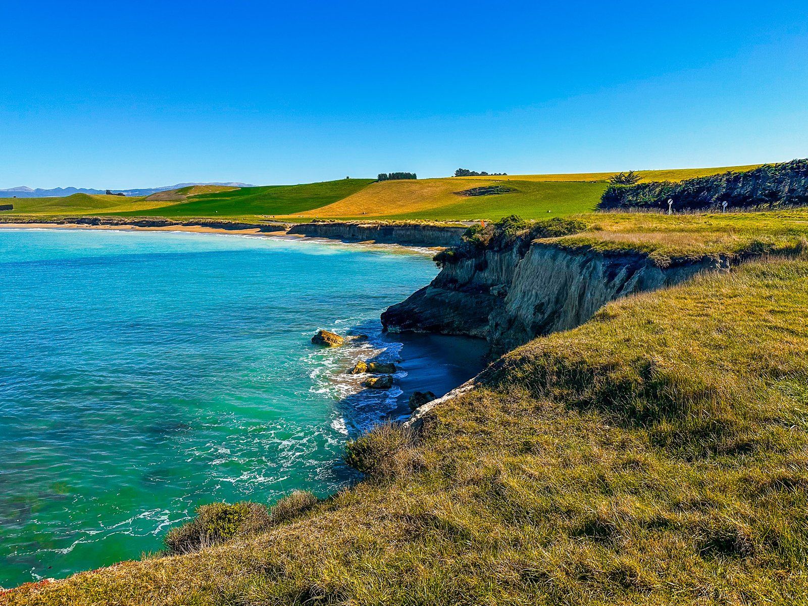
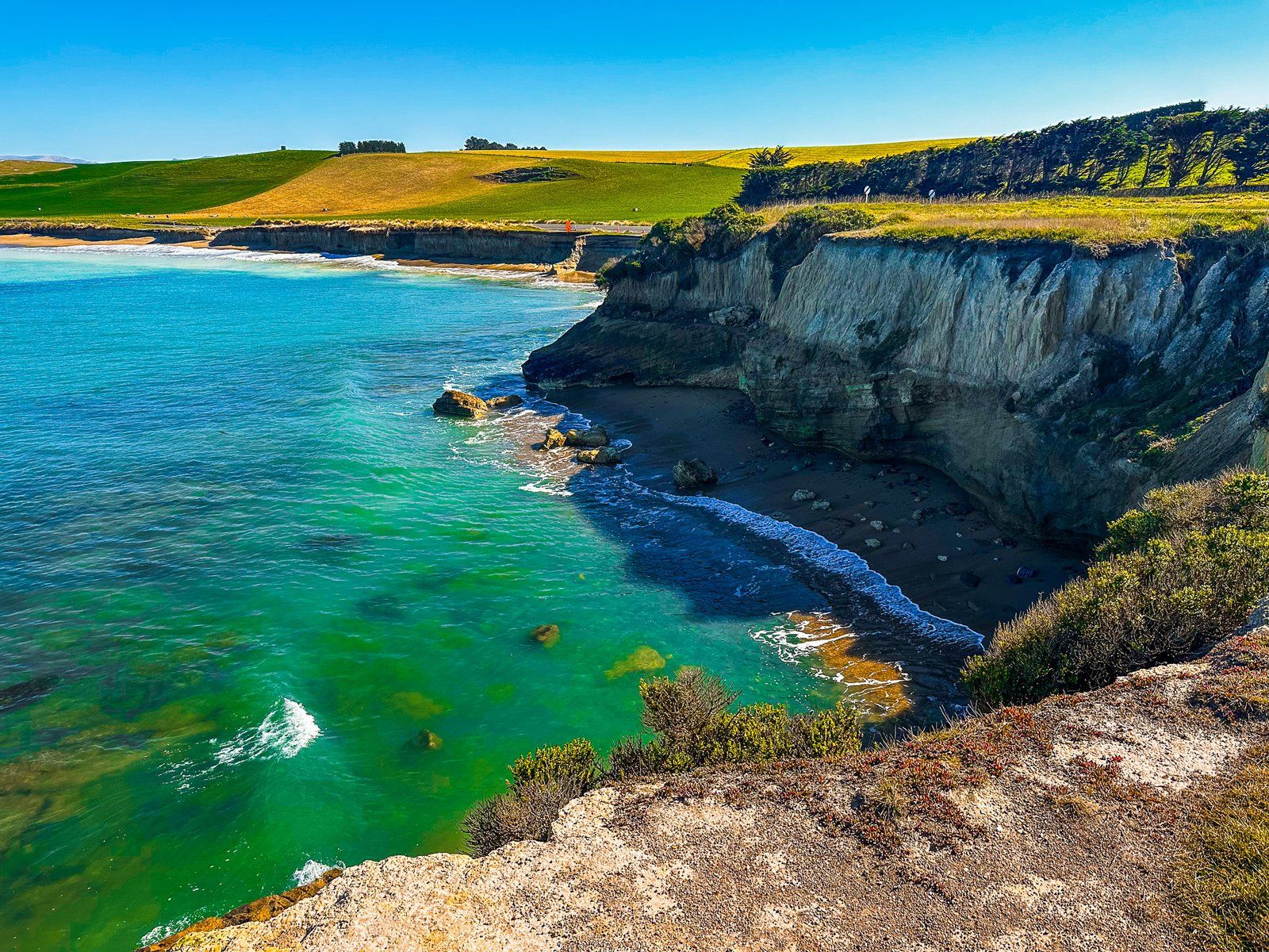
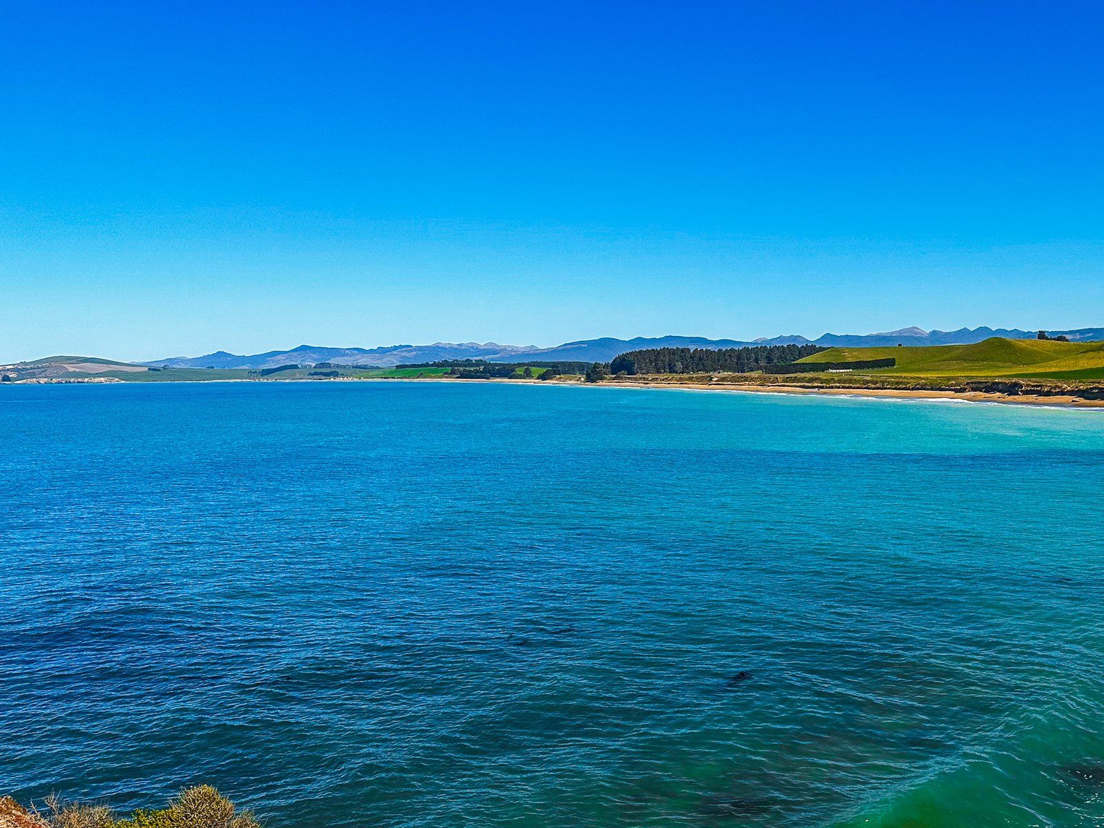
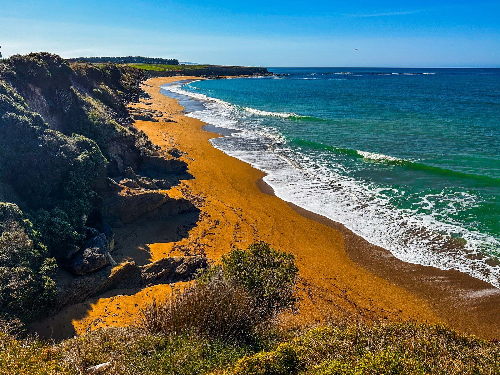
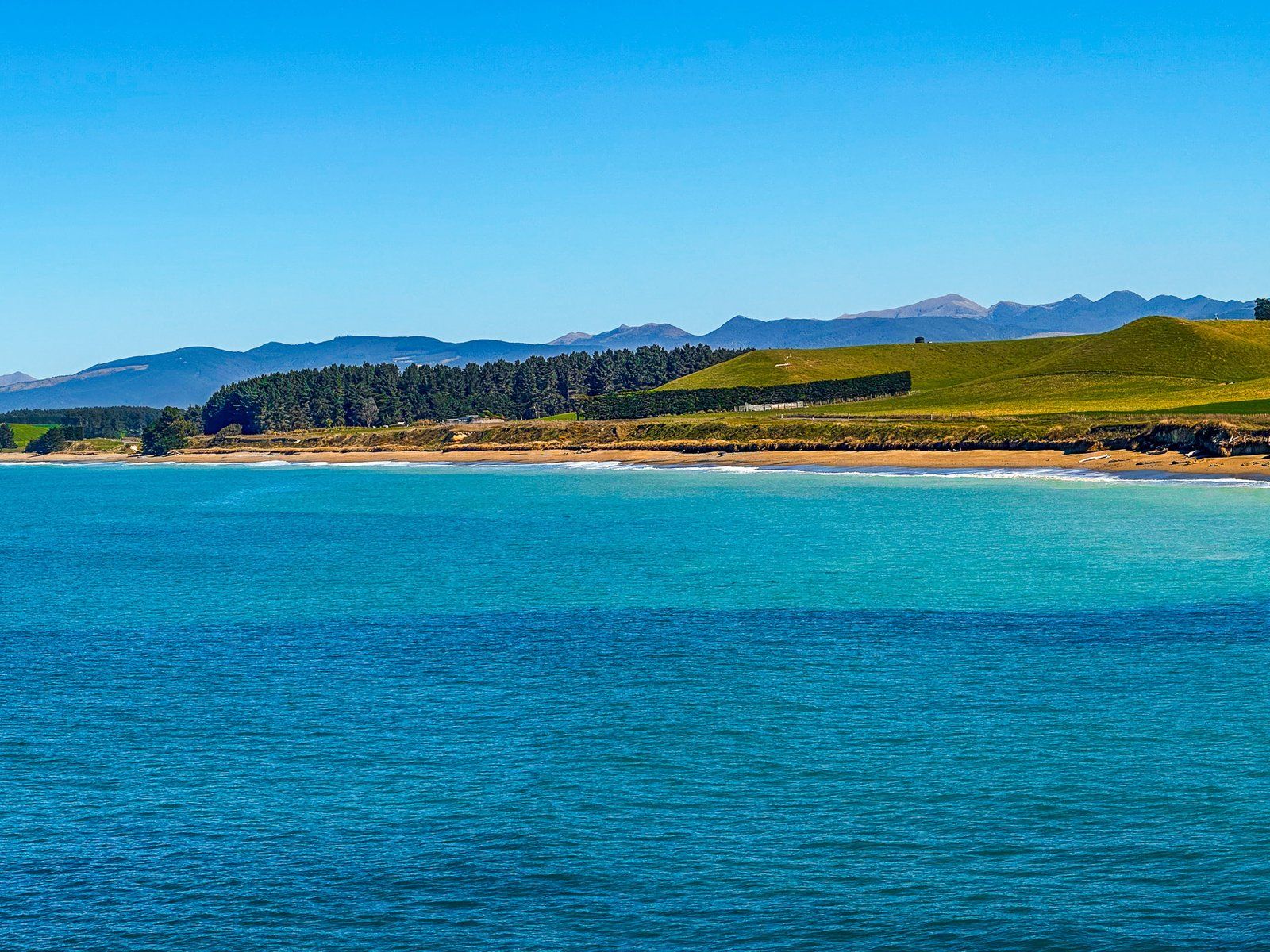
Bridge Point is located about one kilometre south of Ōrore All Day Bay along Waianakarua Road on the North Otago Coast. This scenic spot provides ample parking space and is primarily covered in grass, bordered by cliffs. From here, you can enjoy a stunning view southward along Te Hakapureirei Beach. For the adventurous, it's possible to scramble down to a small beach below the cliff, situated between Ōrore Point and Bridge Point, on the north side.
Geological Significance and Natural Features
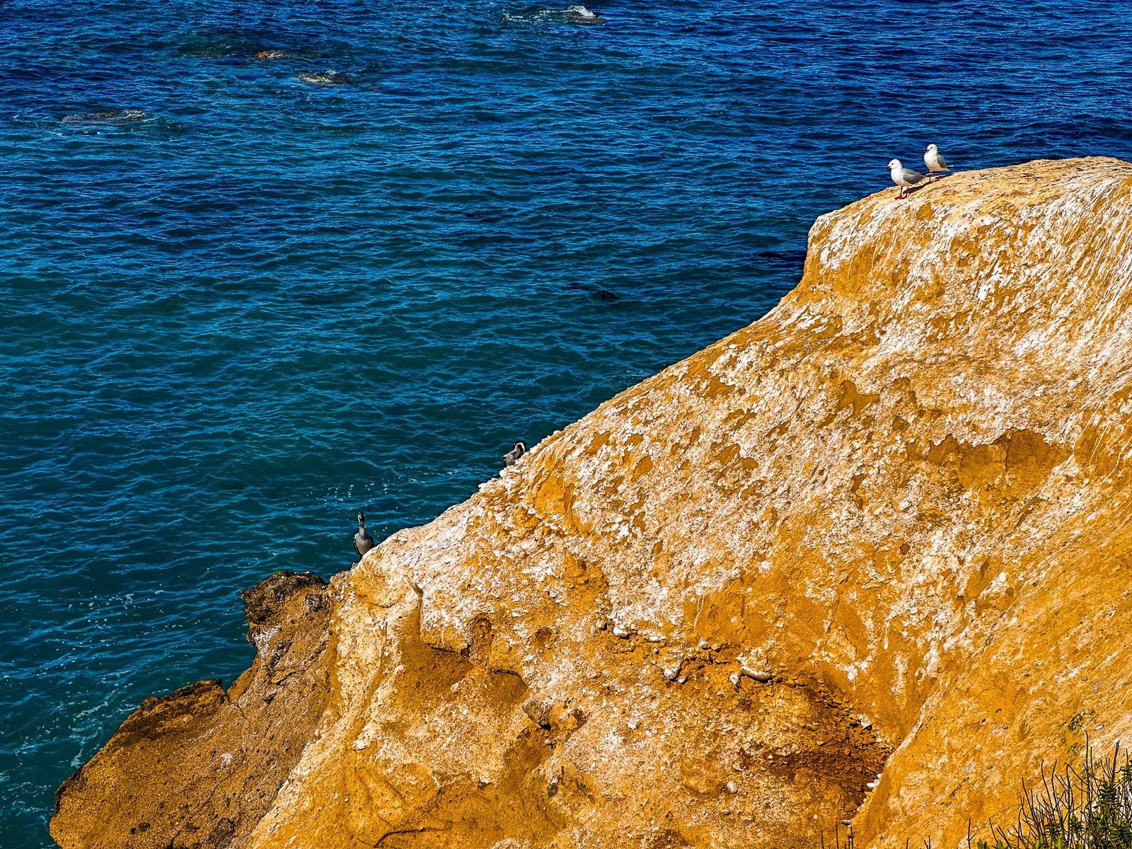
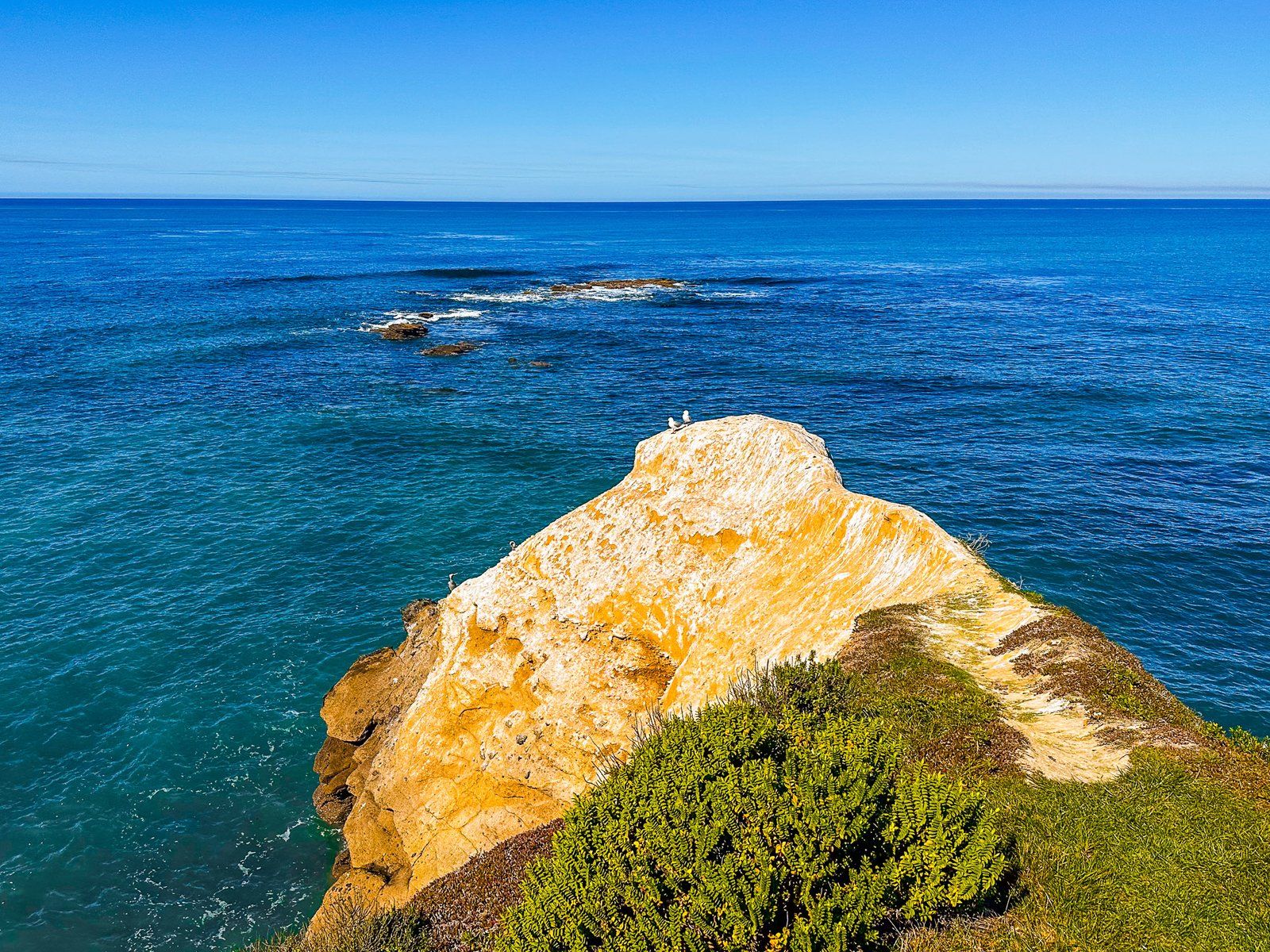
Bridge Point, like Cape Wanbrow in Ōamaru and Kakanui Point to the north, is an eroded remnant of a volcano that erupted 32 to 36 million years ago. At the southeastern edge of the Point, you'll find a rocky section marking the top of the natural bridge that gives the area its name. This bridge is more visible from Te Hakapureirei Beach, and you can walk through it during low tide.
How to Get There
To reach Bridge Point, travel along Waianakarua Road on the North Otago Coast. You can access the south end of Waianakarua Road from State Highway 1 between Hampden and Herbert, and the north end from Kakanui. From Ōamaru, Bridge Point is a 25-minute drive of 26 km. From Dunedin, it is 80 minutes and 96 km.
Other places to visit along the North Otago Coast include Bushy Beach, Hampden Beach, Moeraki Boulders and Kātiki Beach.