A Quiet Coast Named for Māui
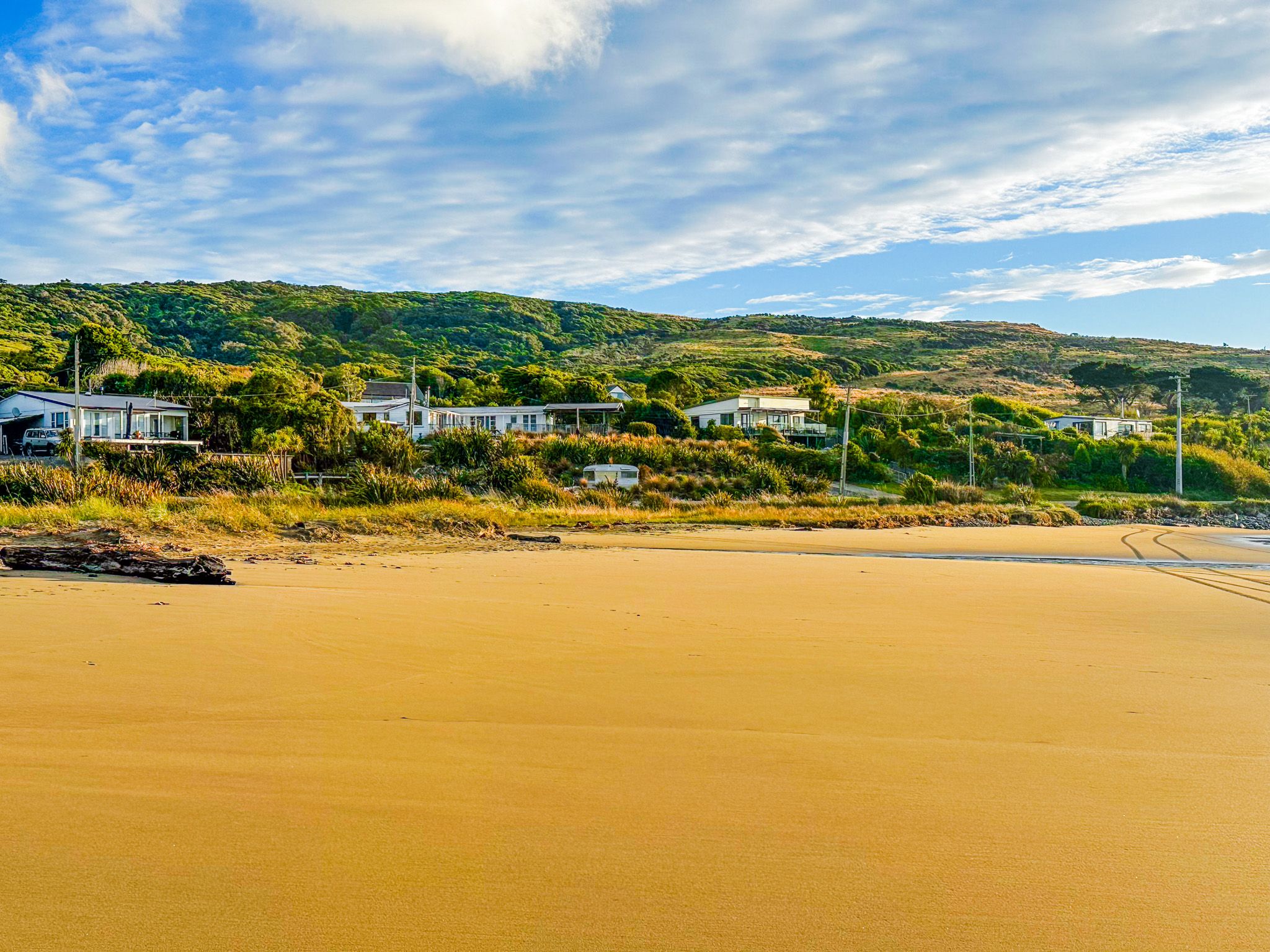
Ōmāui is a small settlement on the coast southwest of Invercargill, just west of the New River Estuary on the Foveaux Strait shore. It is reached by a short detour off State Highway 1 on the way to Bluff and has fewer than 150 residents. The settlement is behind a golden sand beach and next to a 205-metre hill, largely covered by the regenerating forest of the Ōmāui Scenic Reserve. The name means "place of Māui", connecting it to the myth of Māui, who fished Te Ika-a-Māui, the North Island, from the sea while standing on Te Waka-a-Māui, the South Island, and anchored by Rakiura / Stewart Island.
Settlement, Whalers and a Beached Steamer
Ōmāui was originally a Māori settlement, and sealers and whalers used the area as a base camp in Foveaux Strait in the early 19th century. The first European to survey the settlement was Robert Williams, who arrived from Australia to assess prospects for a timber and flax industry on the south coast. In 1862, the steamer Guiding Star, originally named the SS Oberon, struck a rock and was beached by her captain alongside the Ōmāui village, where the wreck remained a local landmark for years.
Ōmāui Scenic Reserve covers the headland above the beach and was originally a dense coastal forest, which was cleared entirely by early European settlers. Regeneration in the 1950s was mainly mānuka, which was harvested for firewood in the mid-1960s. Finally, harvesting stopped, and the native forest is now managed for recovery.
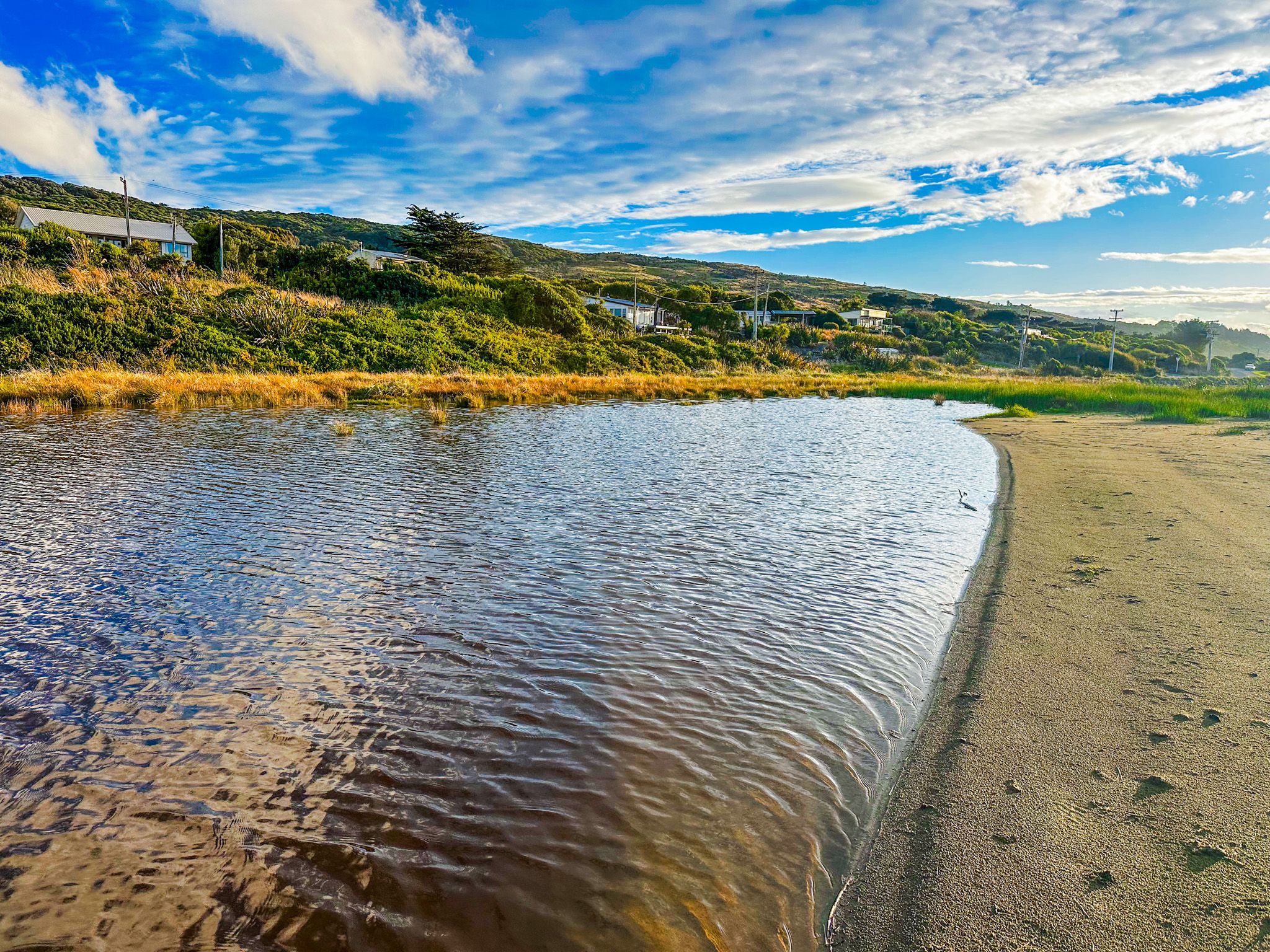
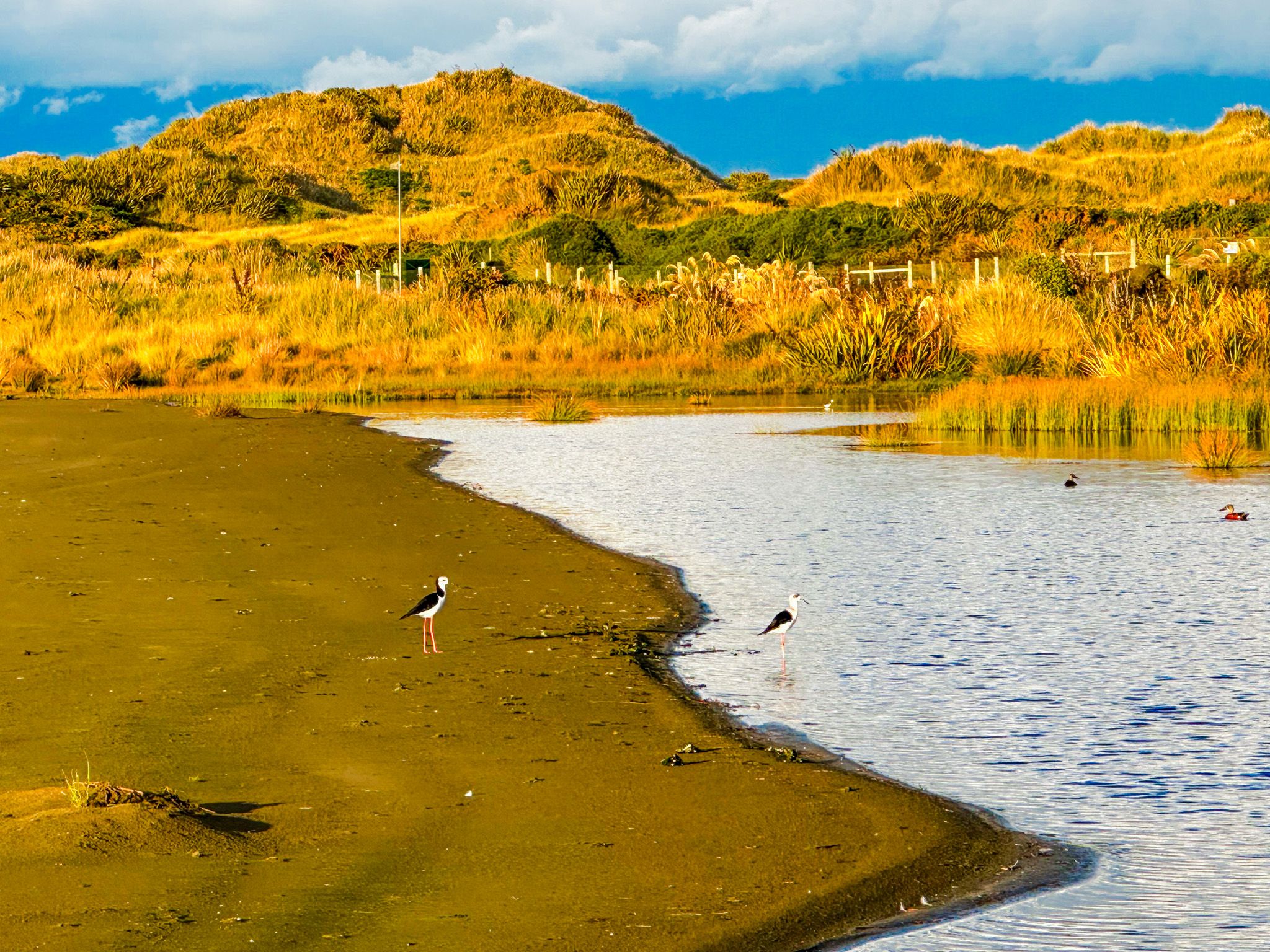
Ōmāui Beach, the Reserve and the Walkway
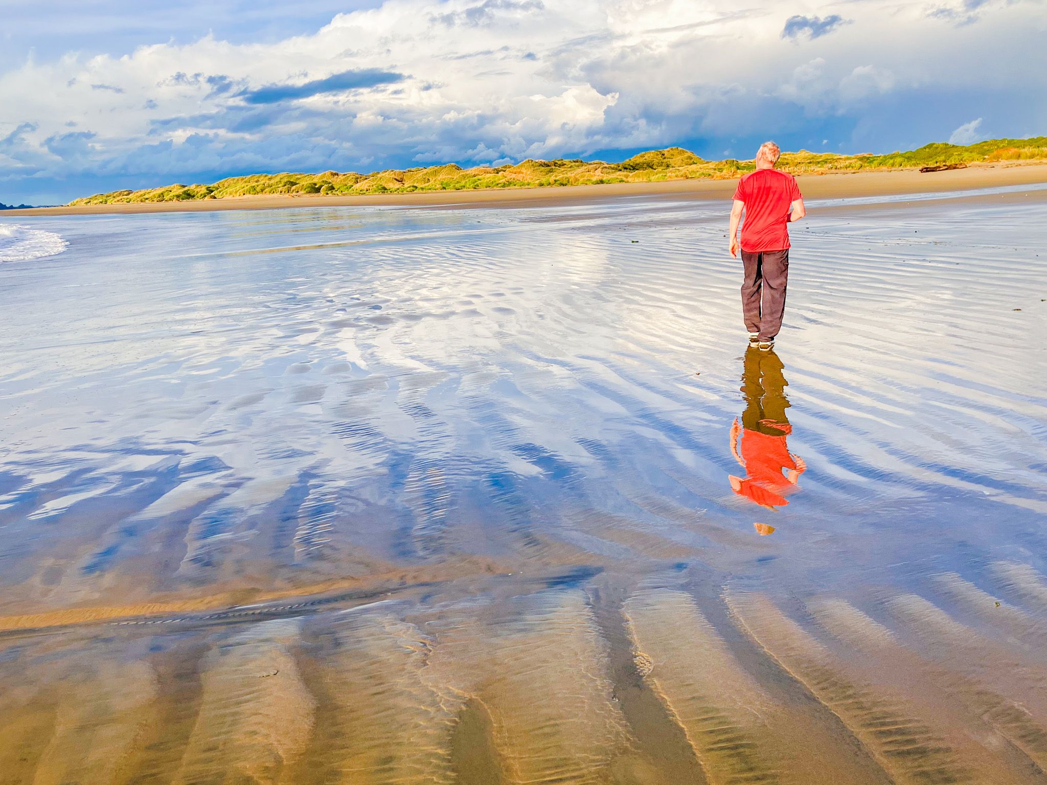
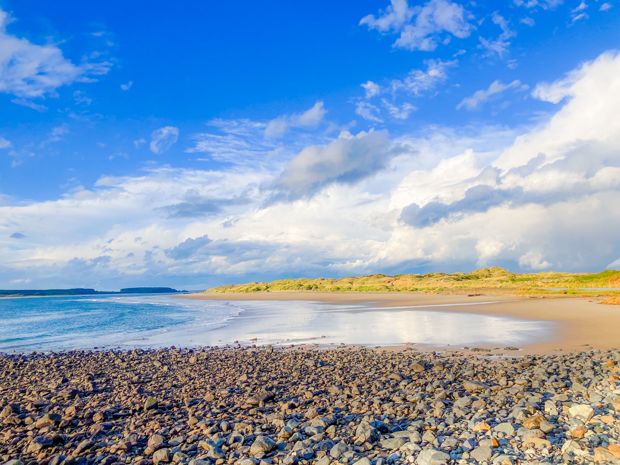
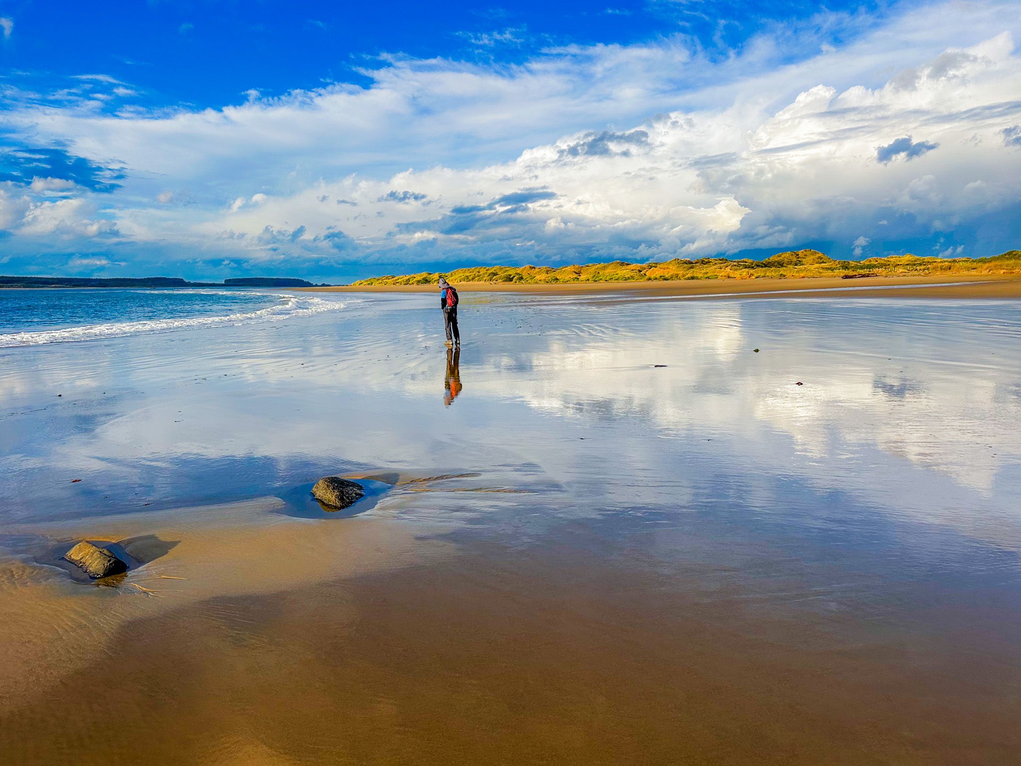
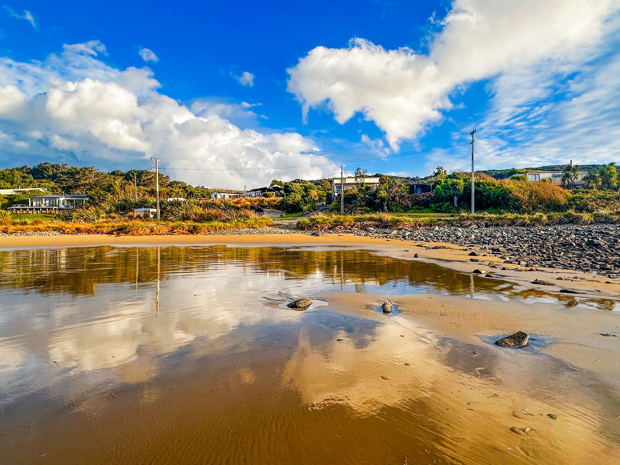
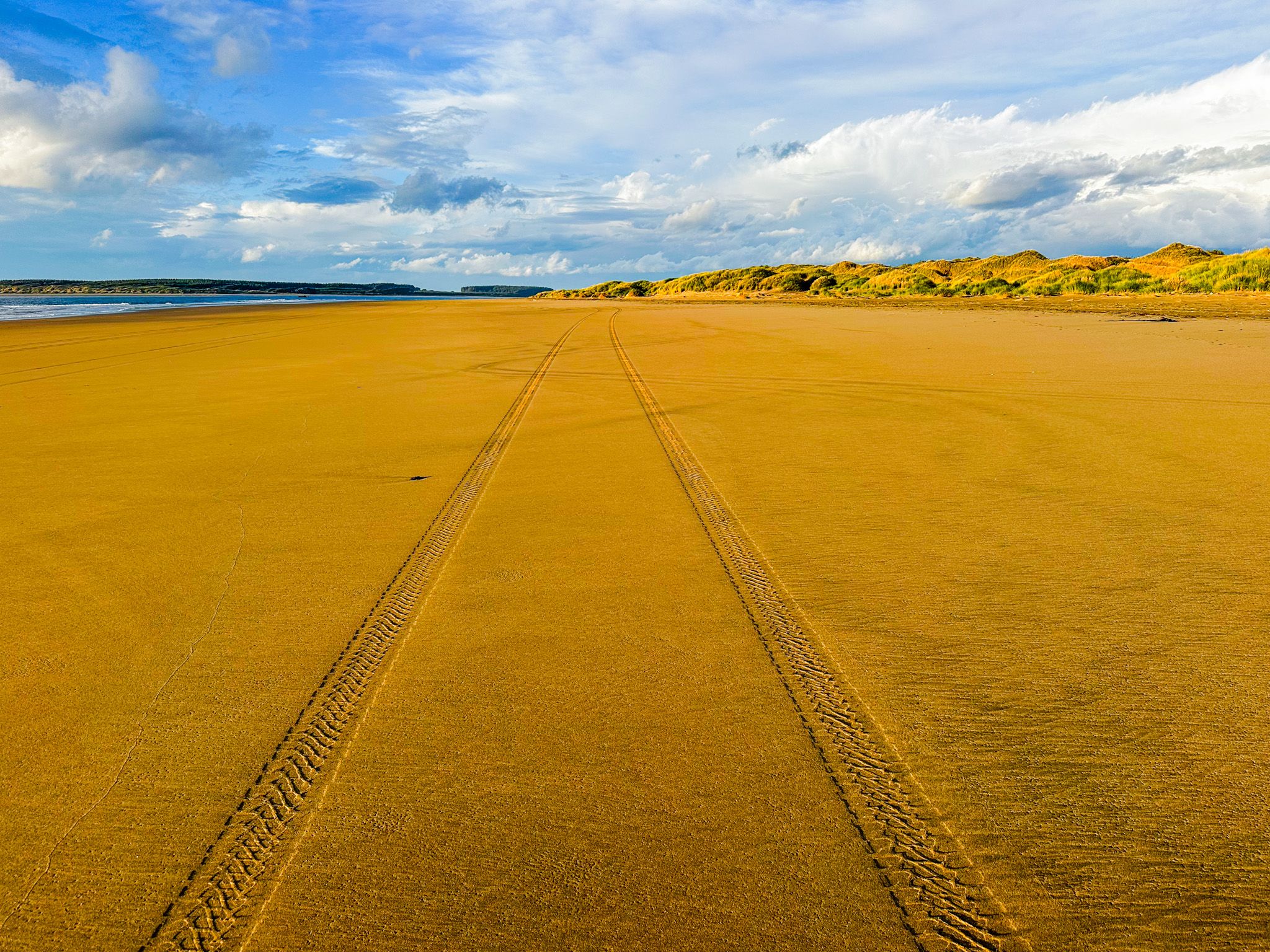
The beach is a real surprise. It was once a rocky stretch of coast, similar to the coast west of the beach. Over the years, golden sand has been swept onto the shore, building up the extensive beach and low dunes to the east. A small estuary lies behind the beach, a lovely spot for spotting wading birds. As the tide retreats, you can walk north along the beach to spot the southern corner of Oreti Beach on the other side of the New River Estuary mouth. Continue north to explore the estuary entrance.
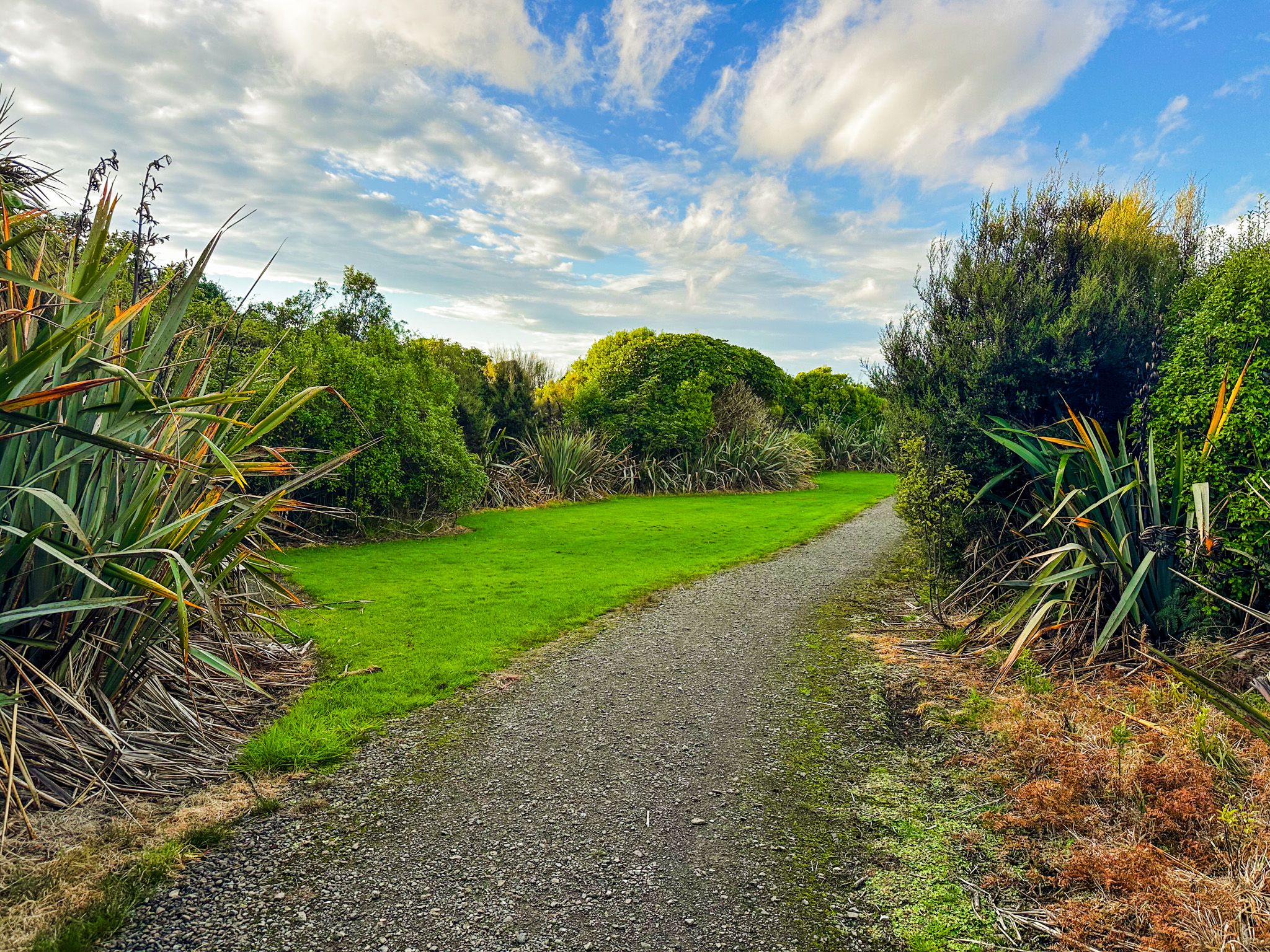
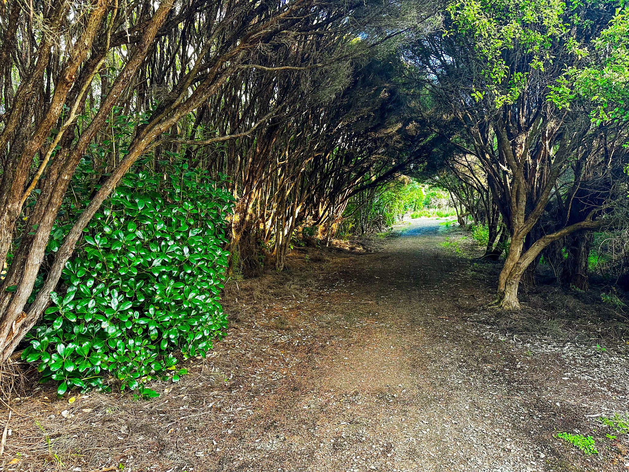
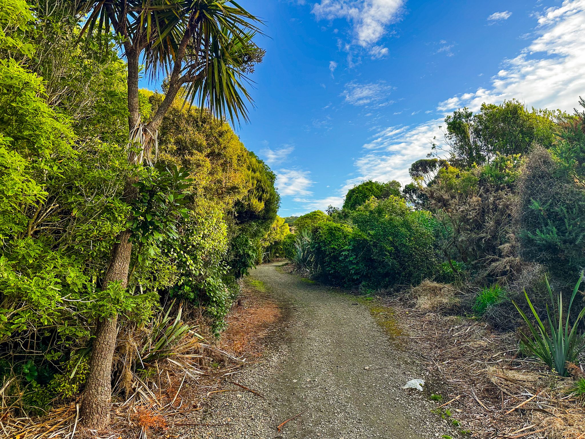
The Ōmāui Scenic Reserve is accessed near the road end. It covers the headland above the beach and is a local community trust. A 1,500-metre loop track takes around 30 minutes to complete, returning through regenerating coastal bush with views over the New River Estuary and Sandy Point. A longer track, around 5 km return, climbs to an elevated lookout platform, providing panoramic views on a clear day extending to Stewart Island and across the estuary to the Takitimu Range.
The forest supports tūī, bellbirds, kererū and, more unusually, red-crowned kākāriki (parakeets). The track passes through areas of mānuka, broadleaf, and native fern that give way to stands of rātā, rimu, and tōtara. The terrain is moderately steep in sections and can be slippery after rain. Picnic tables and toilets are available at the car park.
How to Get There
From Invercargill, take State Highway 1 south toward Bluff and turn right onto Ōmaui Road at Greenhills, approximately 15 km from the city centre. Follow Ōmaui Road, which becomes gravel, to Mokomoko Road, then head north to the small beach settlement. The drive from central Invercargill is 27 km and takes around 22 minutes. Parking is limited, with a small car park area by the reserve entrance, just past the beach entrance. Walk back to the beach down the road to the beach, a short distance from the car park, or directly into the reserve.
Nearby places to visit include Sandy Point Domain at the southern end of Oreti Beach, Greenhills, Greenpoint Ship Graveyard, Bluff Hill (Motupōhue) and Stirling Point, a further 15 km south via State Highway 1.