Summit Views Over Foveaux Strait
Bluff Hill (Motupōhue) is a 265-metre volcanic cone rising directly above Bluff town and Bluff Harbour. You can drive to the top from Bluff town on Flagstaff Road or explore the network of tracks that winds around and over the top. The top provides some of the most dramatic coastal views in Southland. All walking routes begin at Stirling Point, at the end of State Highway 1. You can do the hike to the top on the Toponui Track and the walk along the coast on Foveaux Walkway, the final section of Te Araroa, there and back, or combine the two tracks with the Millennium Track to create the Bluff Hill loop walk.
Exploring the Tracks
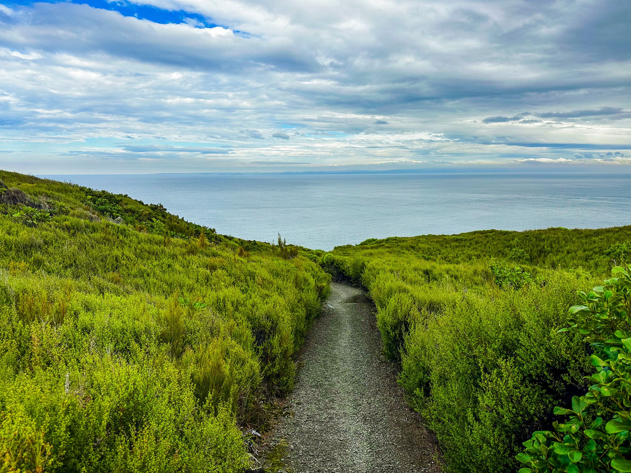
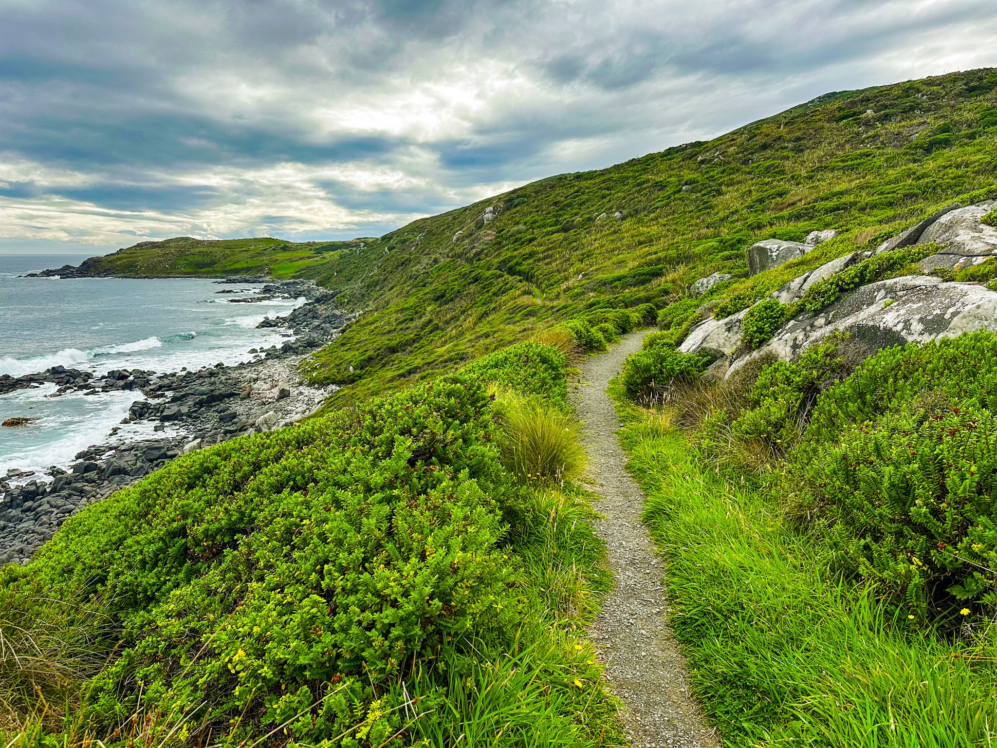
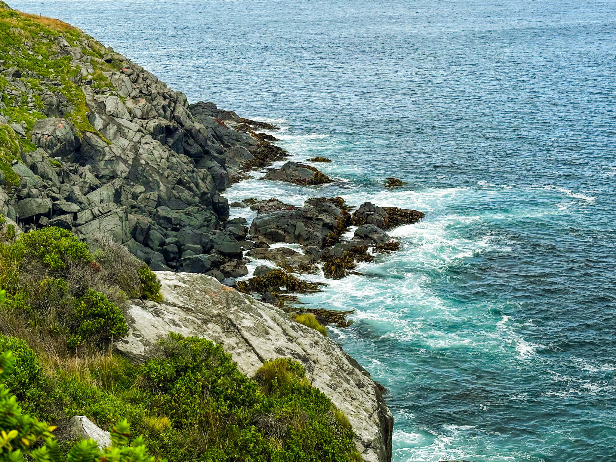
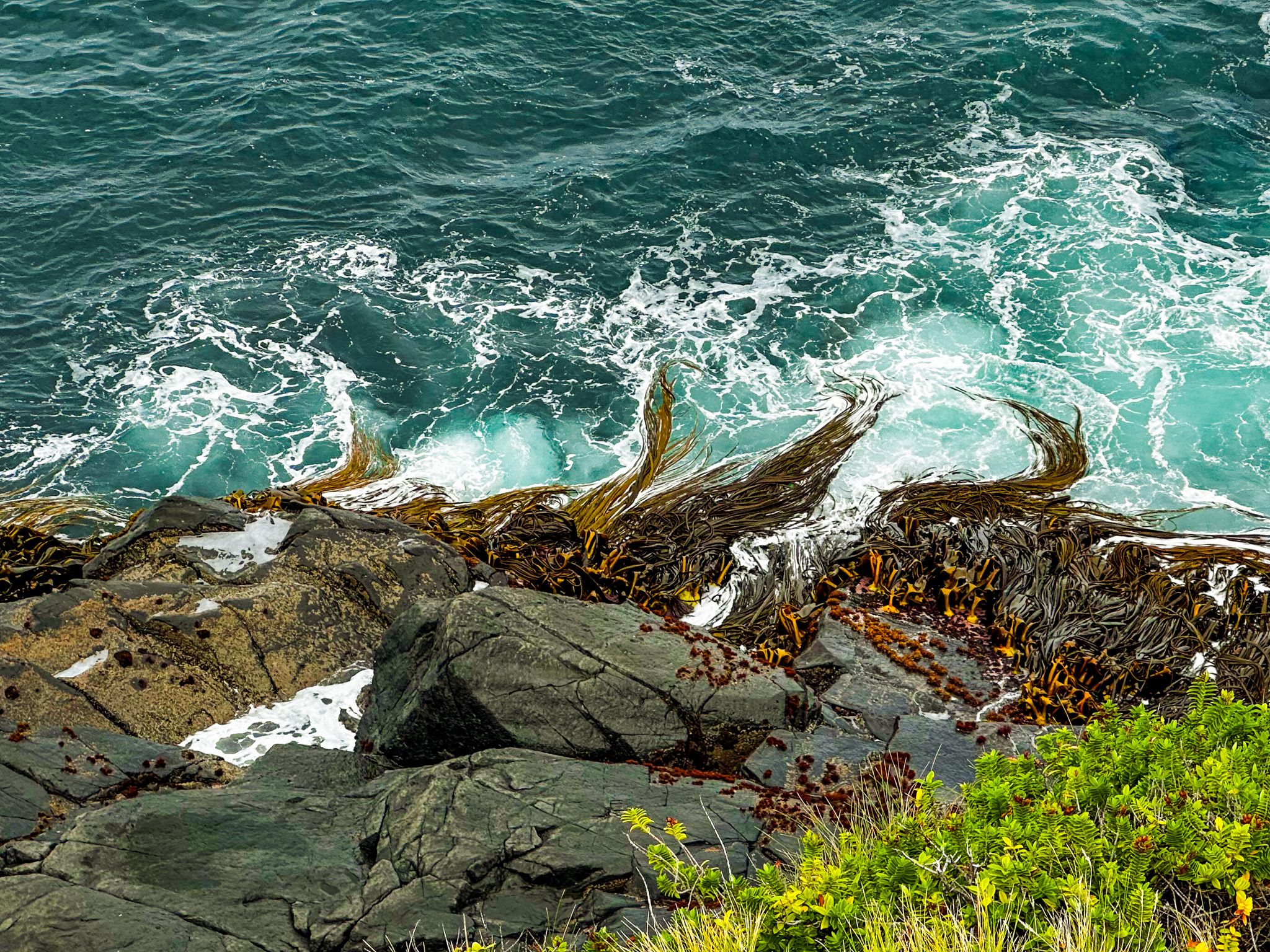
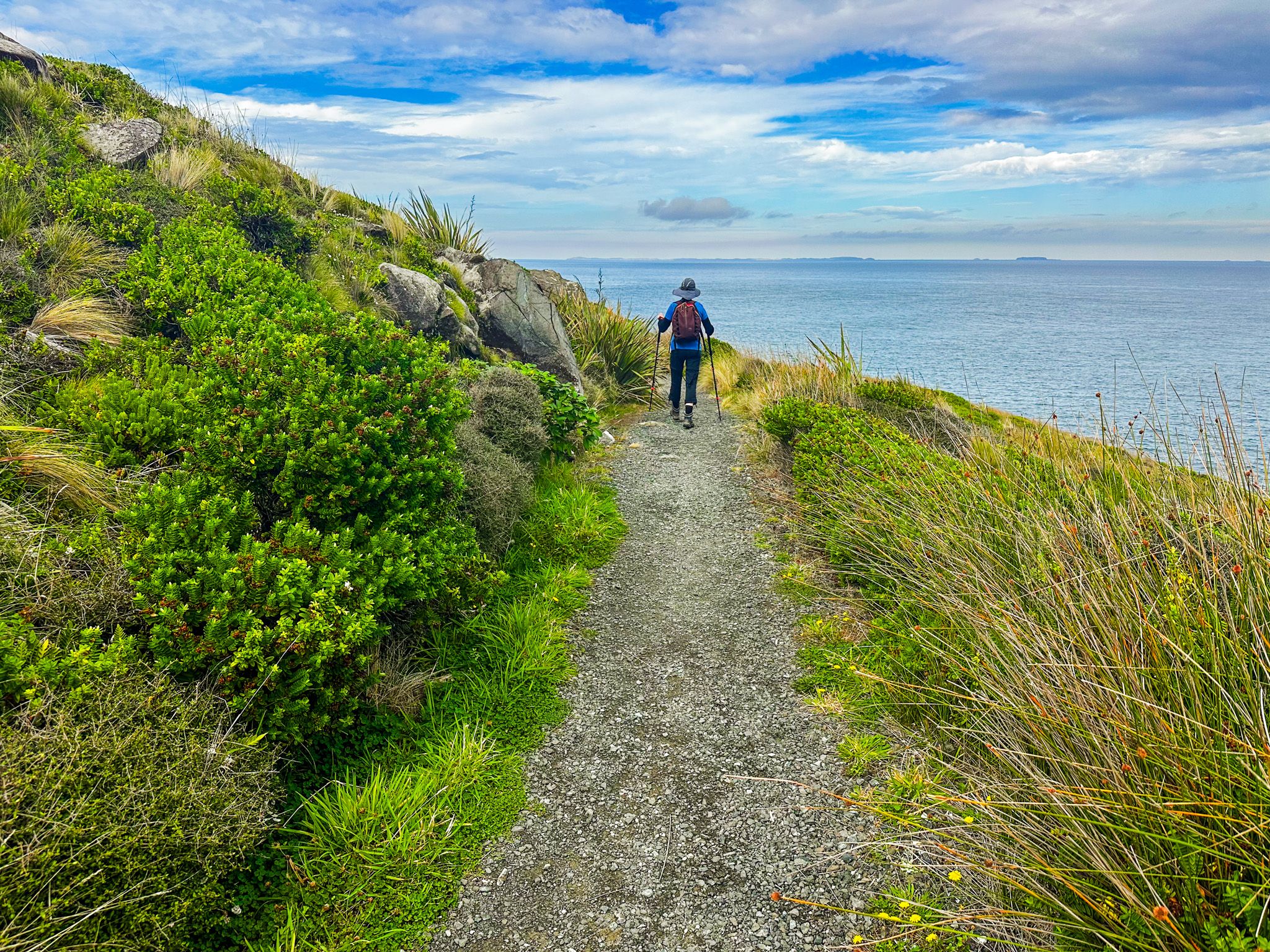
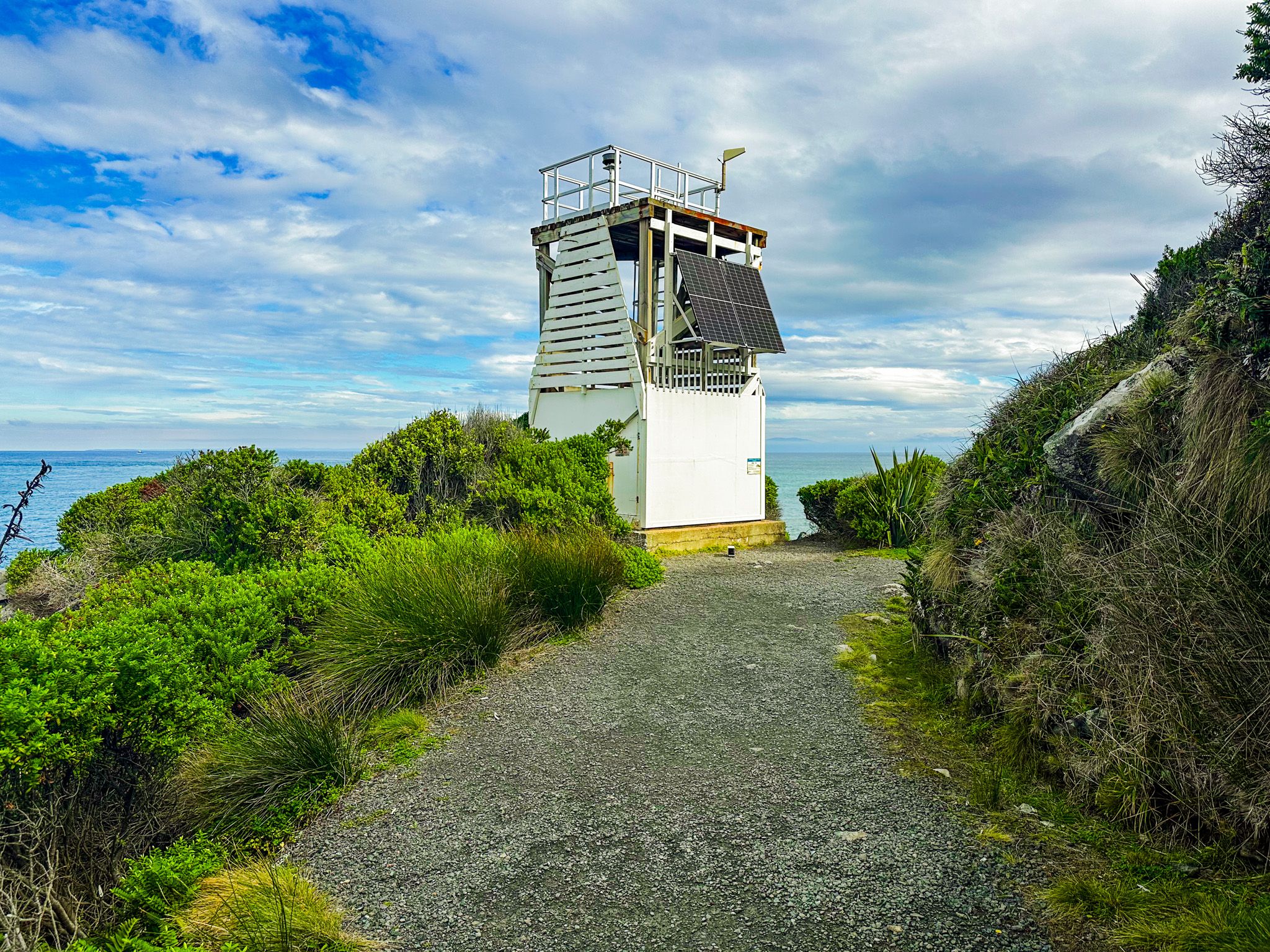
Foveaux Walkway is an easy, well-graded track that follows the shoreline from Stirling Point to Lookout Point, around 25 minutes one way. The surface is firm and well graded, and generally sits well above the rocky shoreline. There are steep drops from the track, but the path is wide with the edge generally protected by shrubbery. There are information boards along the way, a meteorological tower and a couple of places where you can scramble down to the rocks as the tide retreats. As you round the soutehrn side of the track, views to Rakiura / Stewart Island open up.
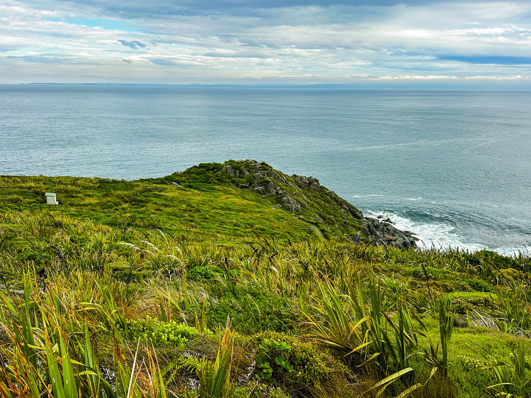
At Lookout Point, it is an easy few steps up to the rocky top for the best view, including Rakiura / Stewart Island, which explains why it was known to Māori as Matai (“to gaze across the sea”). An information board describes the point’s connection to whaling in the 1830s, with a focus on southern right whales. Curiously, they were called right whales because they were easy to spot and naturally floated when killed, hence the right ones to hunt. At the top of the point is a memorial to 5 people who died in a 1998 air crash in Foveaux Strait. From Lookout Point, you can continue on a rougher track along the coast, following Te Araroa to the west end of Bluff town.
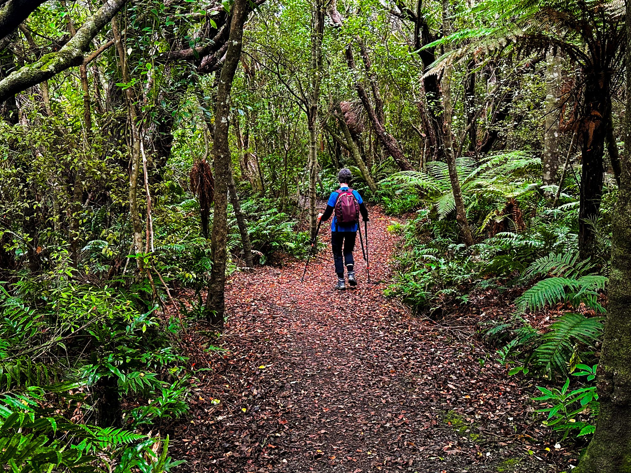
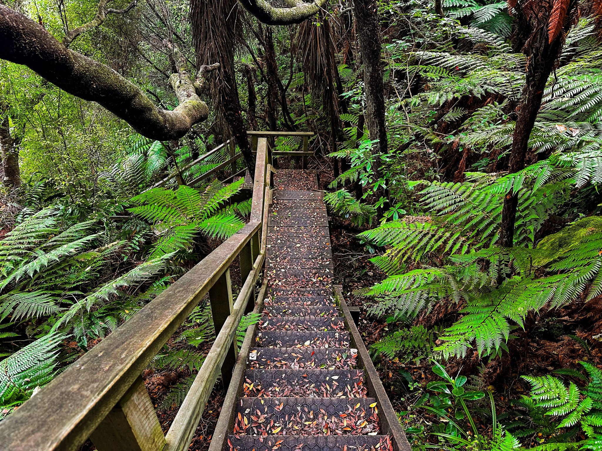
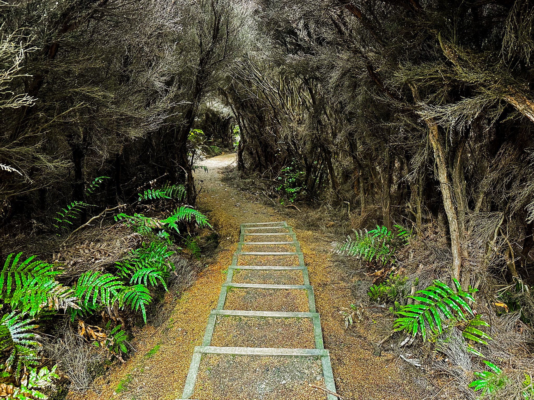
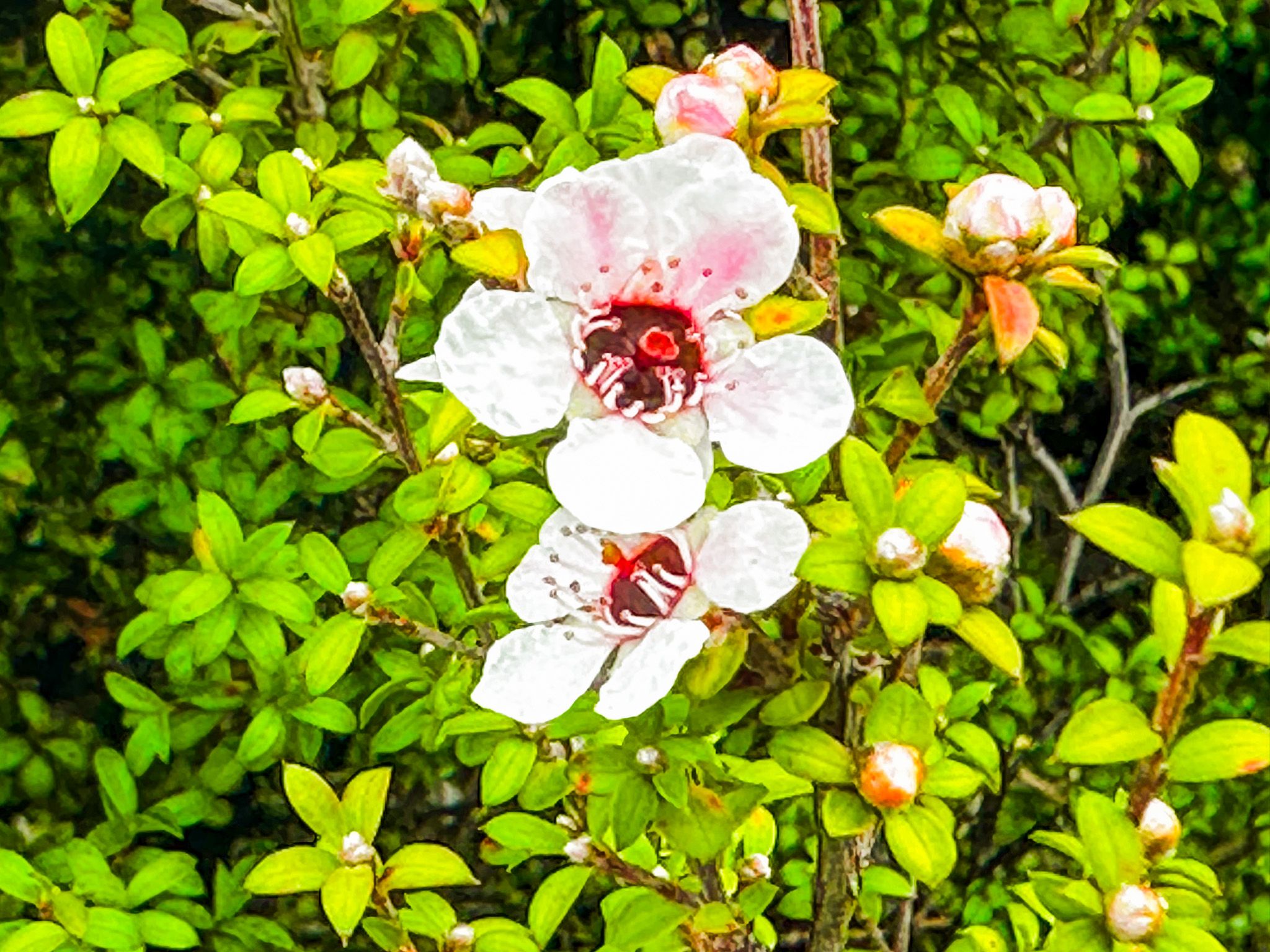
The Millennium Track links Lookout Point to the top of Bluff Hill. This track heads north from the point and is generally a moderate climb to the peak at 265 metres. There is one steep section where a series of steps negotiates around the side of a rock face, then the track flattens out for the final walk towards the top, and finally, one last steeper section. The lower part of the hike runs through low wind-shaped shrubland, with fabulous views to the coast and Rakiura. Mānuka, hebe, and other native flowers are a feature in season. As you rise higher, the shrubs are displaced by trees, enclosing you for the remainder of the walk to the summit of Bluff Hill. The walk takes about 45 minutes.
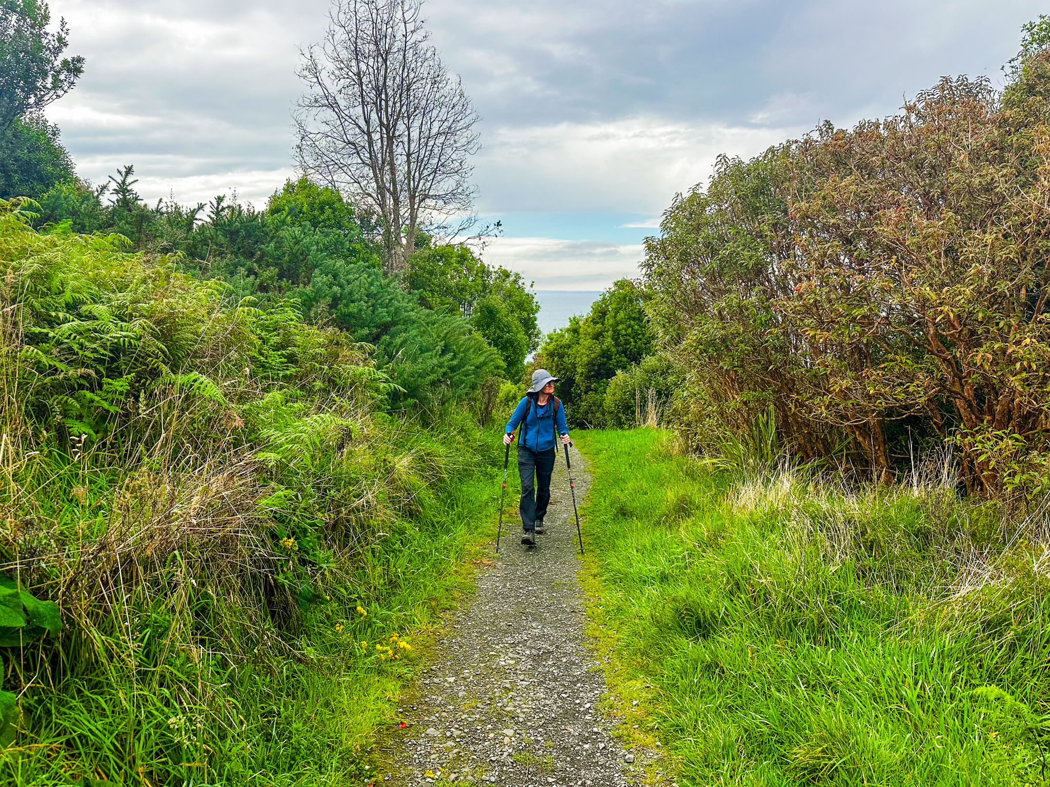
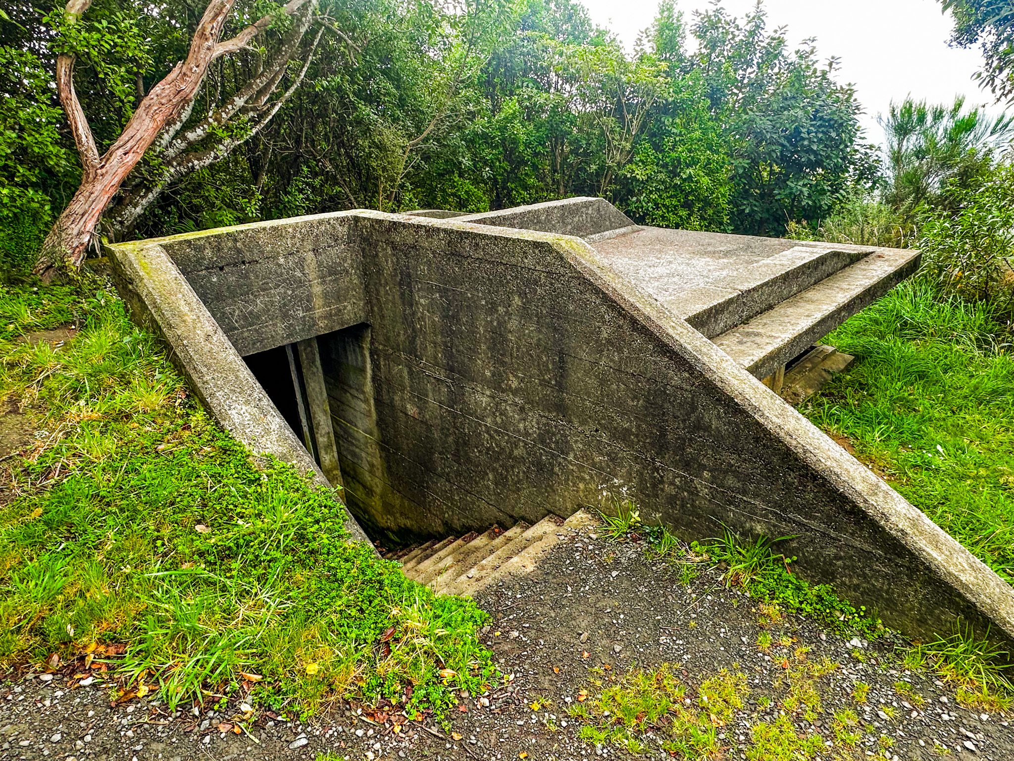
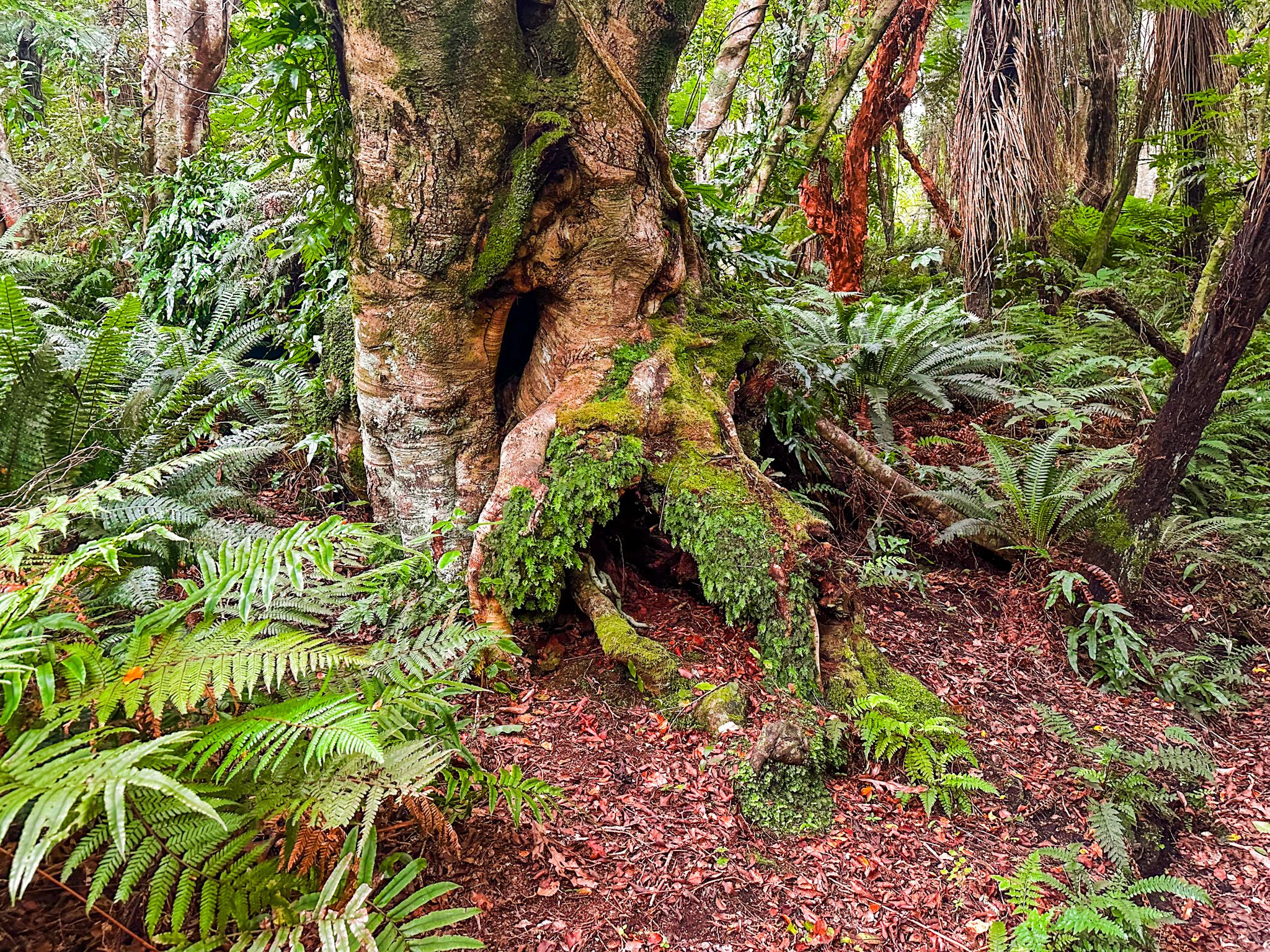
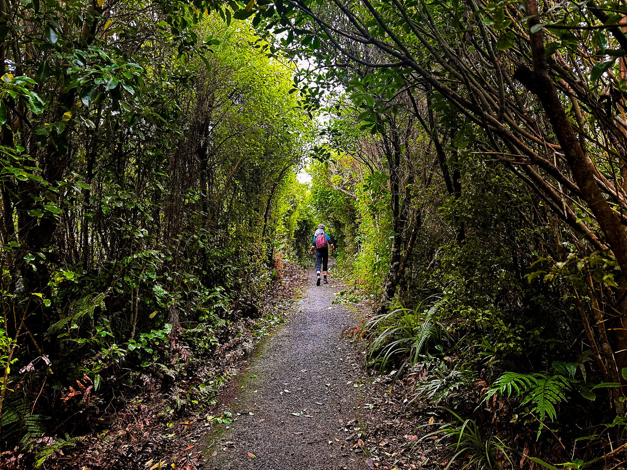
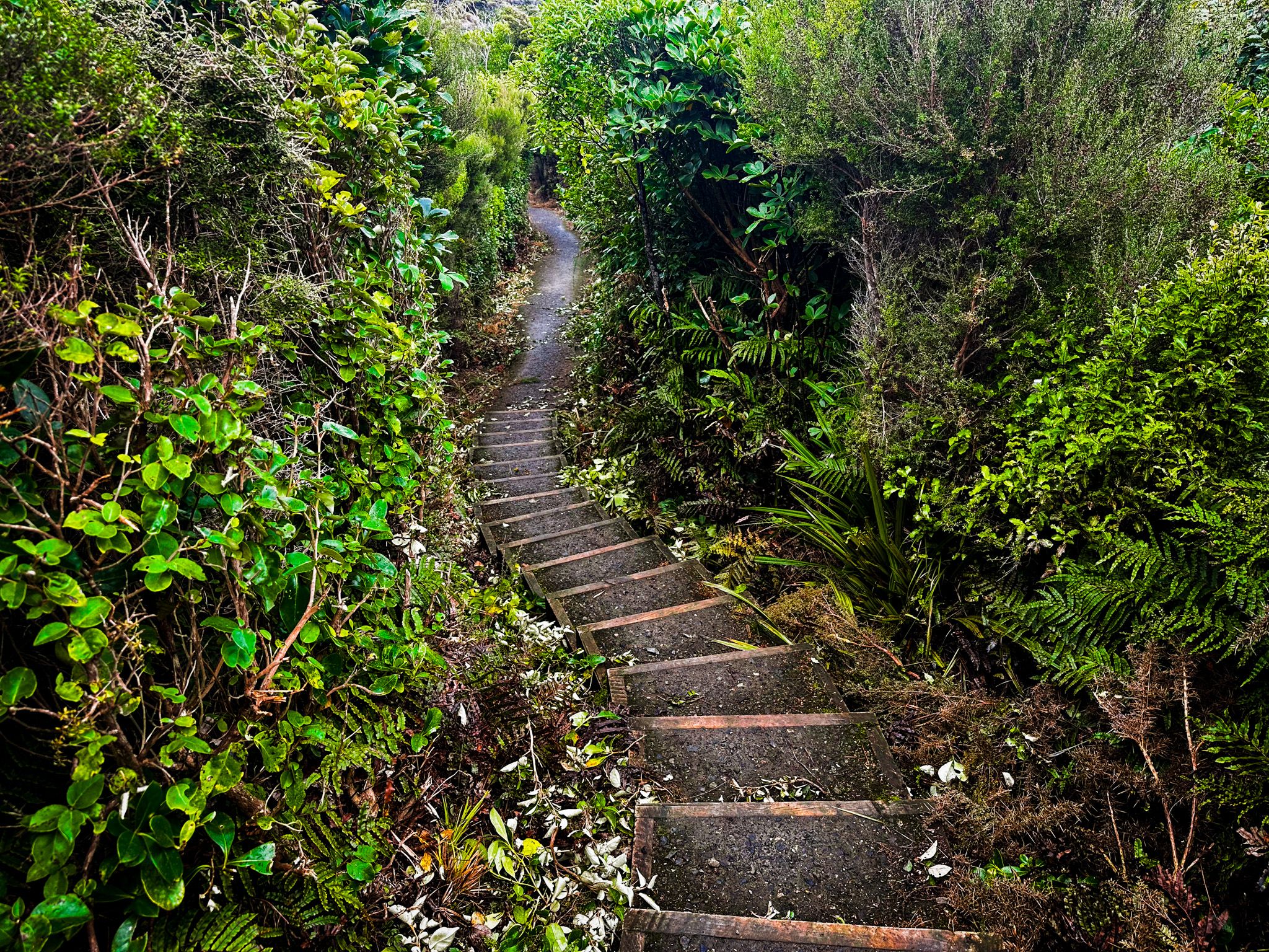
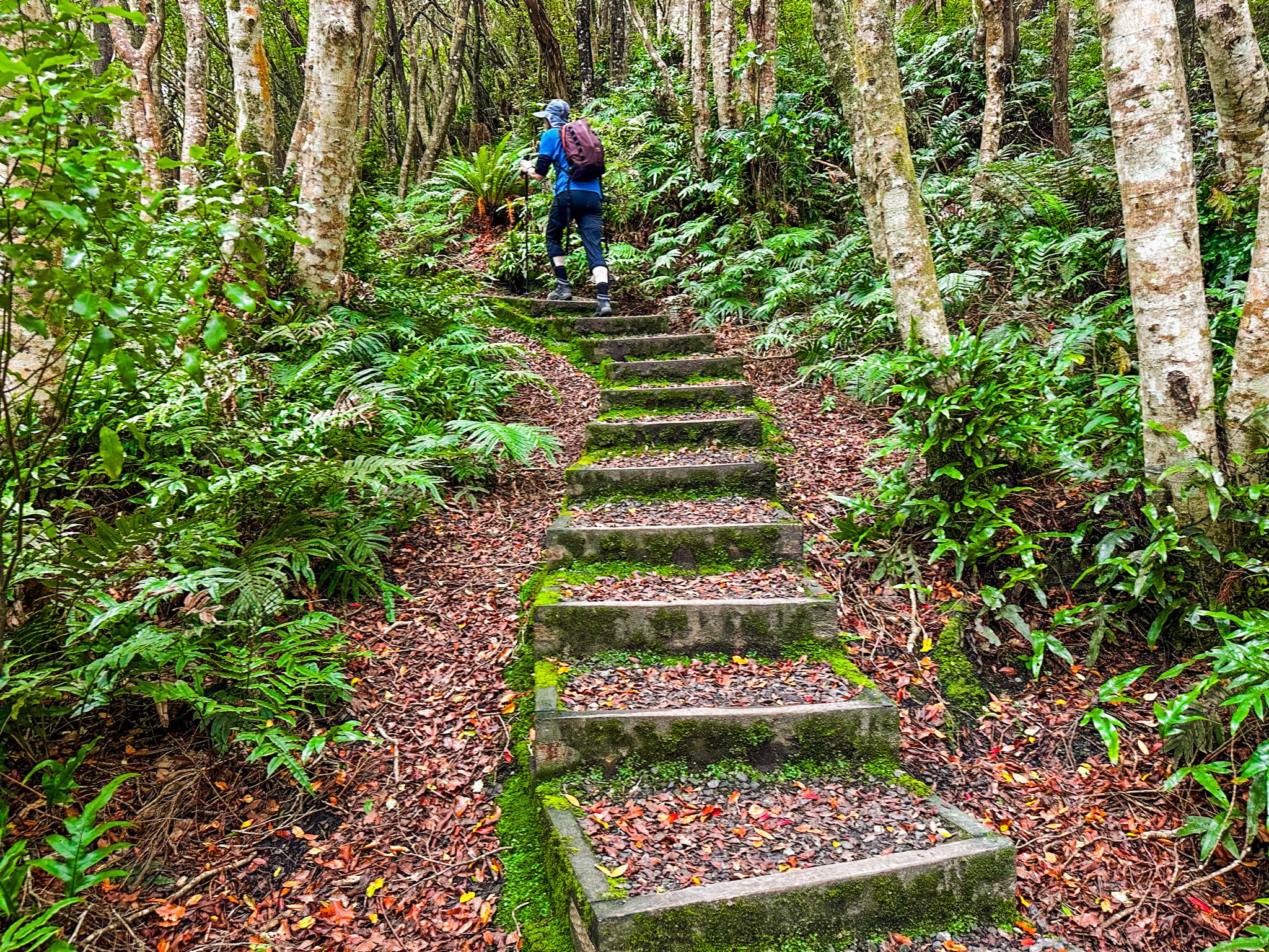
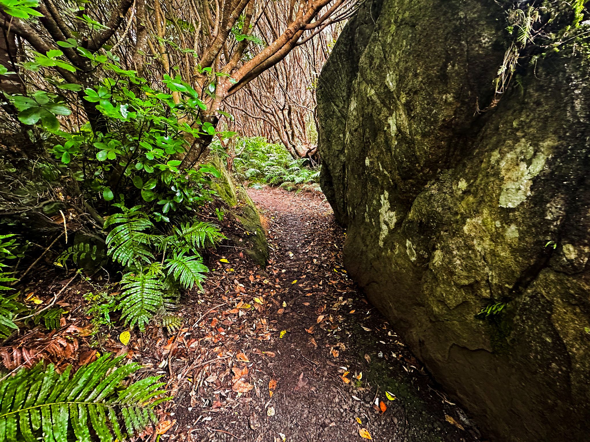
The Tōpuni Track is a different line of ascent from Stirling Point, starting a few metres along Foveaux Walkway and climbing west through regenerating native forest, past a WWII gun-spotting position and a larger emplacement, after a 70-metre climb. Just beyond the emplacement, you can veer south on the Glory Track, which takes you back to Foveaux Walkway, with a 10-minute walk back to Stirling Point, completing a loop of about 40 minutes. Continuing on Tōpuni Track to the summit, the forest mostly becomes more established and denser, though still mostly regrowth. It is a mix of steeper sections with flatter stretches for quick recoveries. Breaks in the trees allow you to spot the peak, and it takes about an hour to get there.
Combining Tōpuni Track, Millennium Track, and Foveaux Walkway as a loop is approximately 7.4 km with around 300 metres of elevation gain, and takes about 2.5 hours at a relaxed pace.
View from the Summit
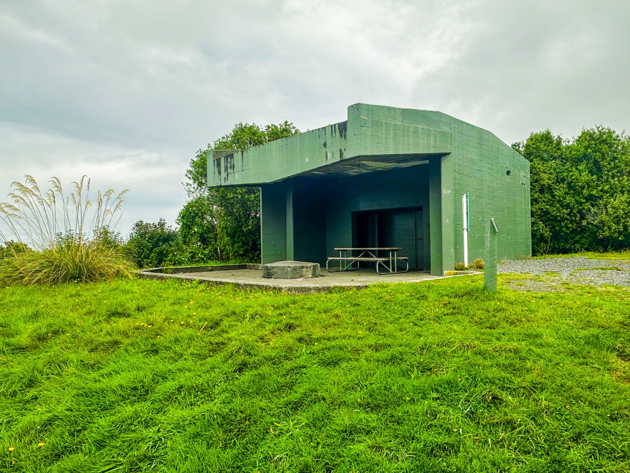
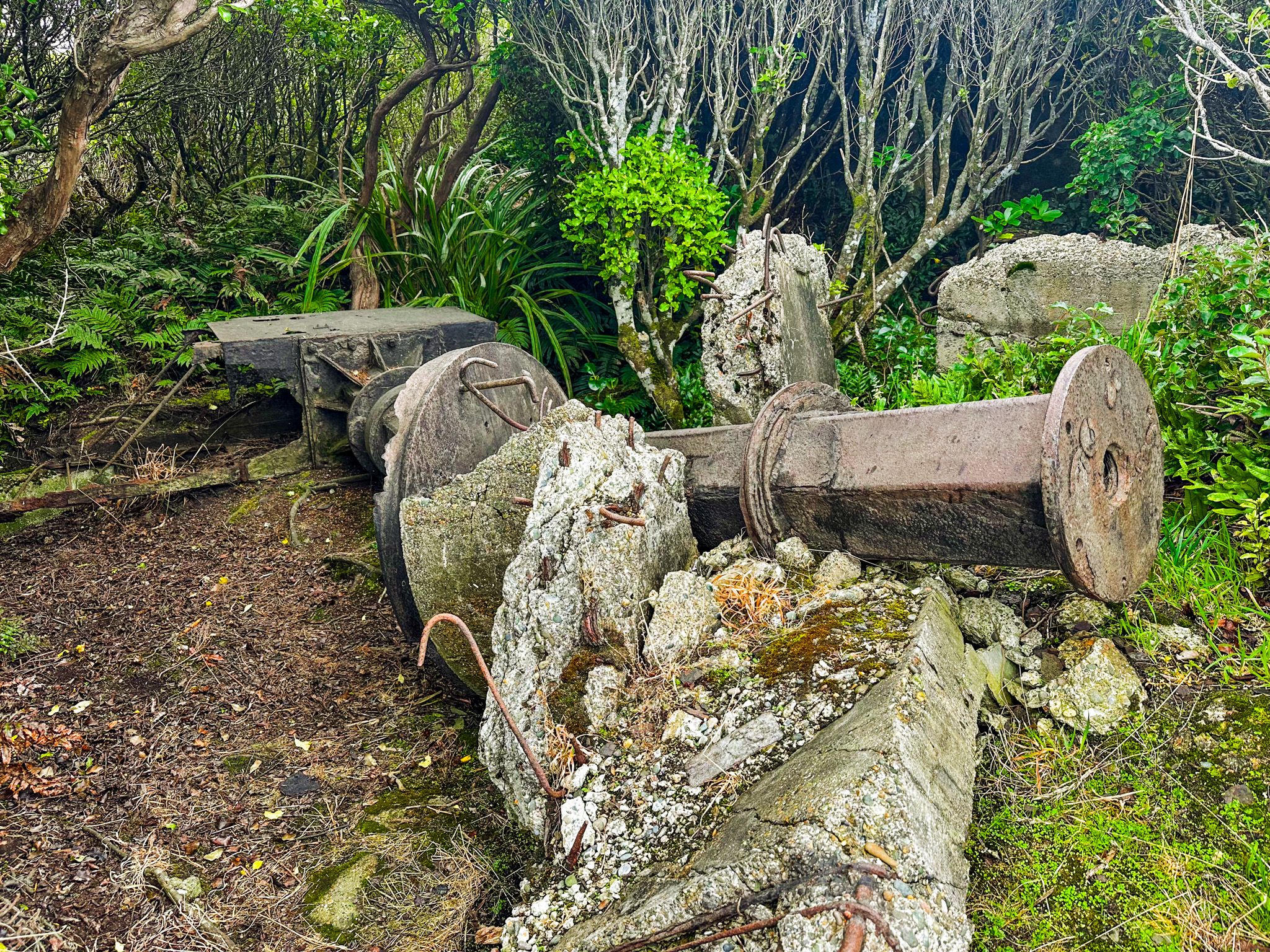
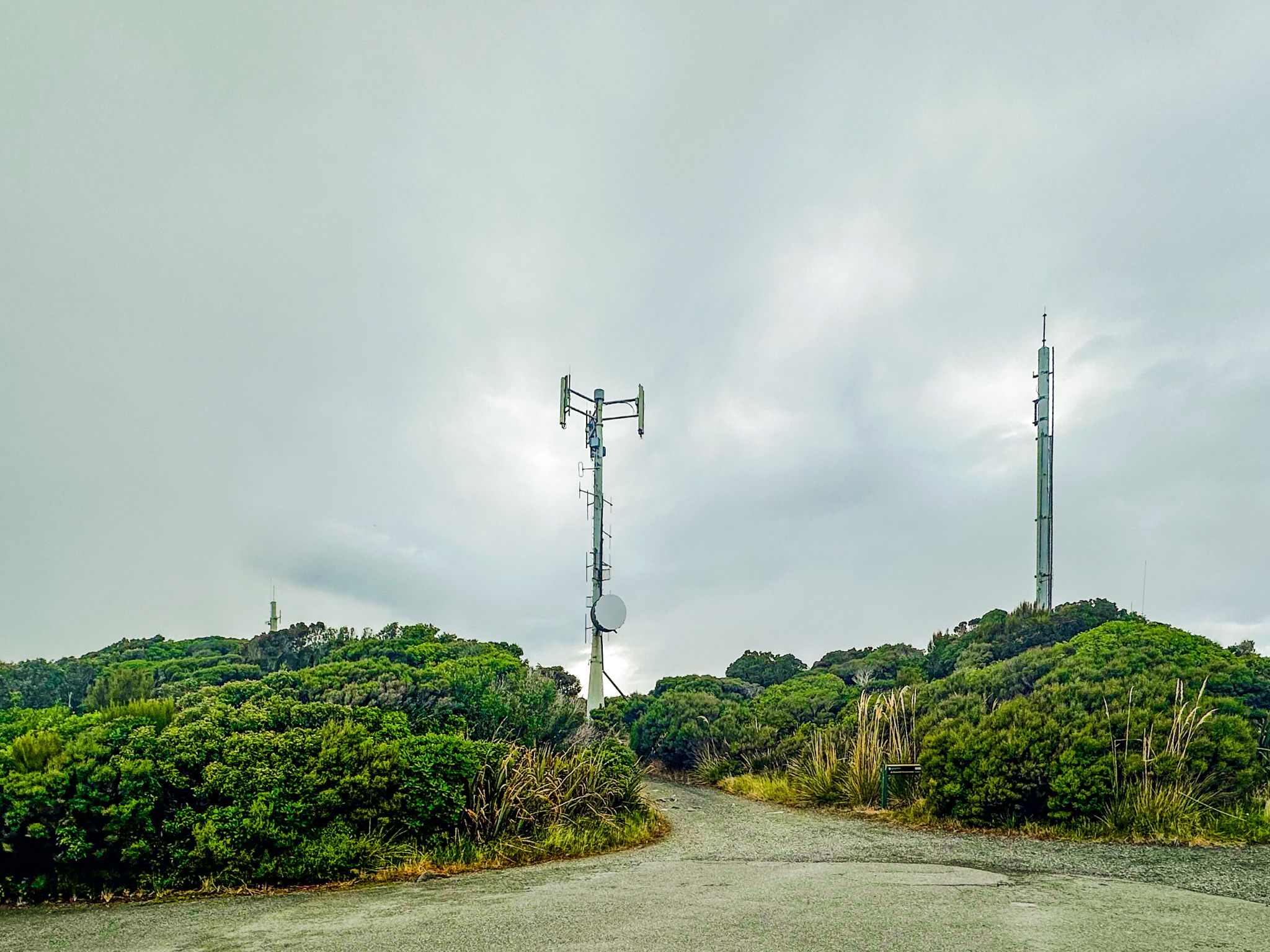
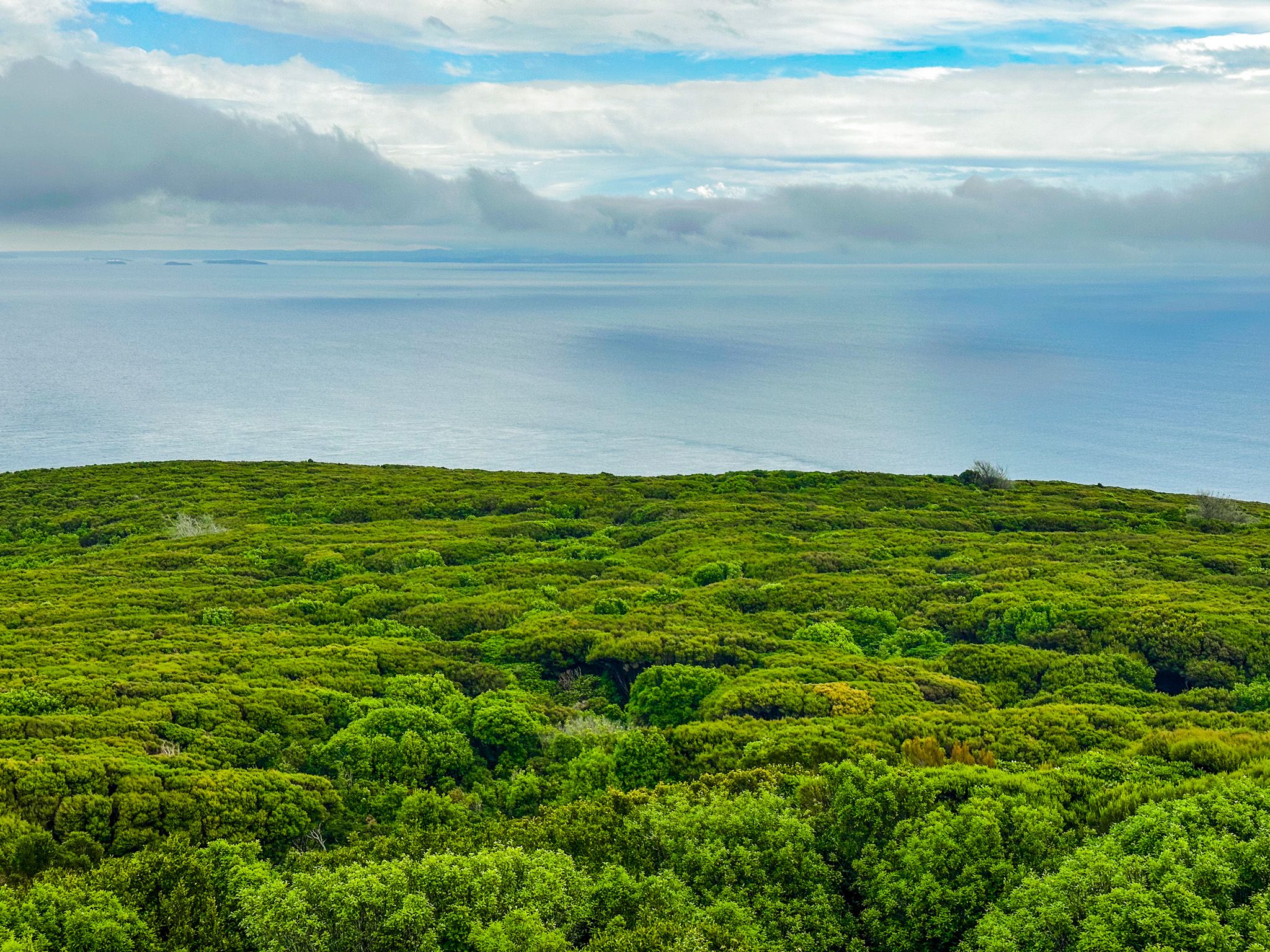
The summit of Bluff Hill is a mix of sealed car park and regrowth forest, but with open views as you wander around the edge. On a nice day, you can see the Southland Plains extending north, Bluff Harbour and the Tiwai Point aluminium smelter to the east, Foveaux Strait filling the south with Rakiura / Stewart Island across the water, and the open southern ocean to the southeast. The summit area includes the ruins of WWII radar and observation infrastructure, and you may spot some of the remains in the undergrowth.
Nature on the Hill
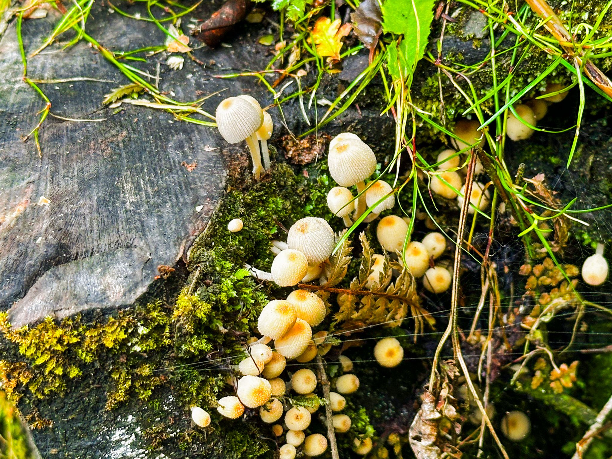
The native forest on Bluff Hill includes rata, rimu, and kāmahi, a coastal hardwood-podocarp forest more similar in character to the forests of Stewart Island than to the typical Southland. Tūī are common, and in Winter, southern right whales can sometimes be spotted from the Foveaux Walkway as they pass through the strait on their annual migration. Ground-nesting birds are present in parts of the reserve, and dogs must be on a lead throughout.
How to Get There
All tracks begin at the Stirling Point car park, at the southern end of State Highway 1 in Bluff, approximately 30 km south of Invercargill. The summit can also be reached in 5 minutes by a sealed-road drive from the town of Bluff. Take Lee Street from the centre of the town, which becomes Bandon Street, then Flagstaff Road. There is plenty of parking on the summit. Access to the Tōponui and Millemium tracks is also clearly signposted at the top.
Other nearby places to visit include the Bluff Maritime Museum, the Greenpoint Ship Graveyard, Greenhills and Ōmāui.