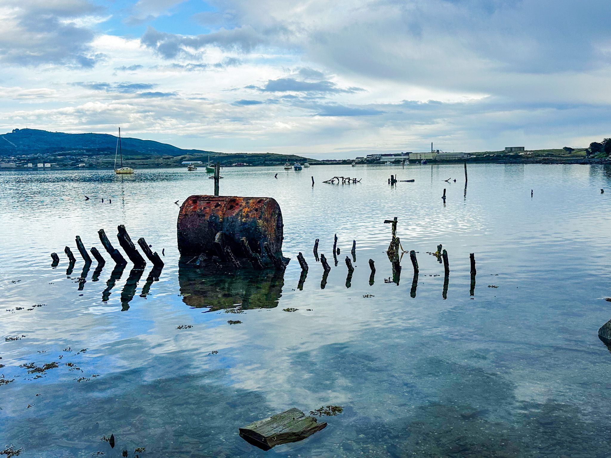
Where Southland's Working Boats Went to Rust
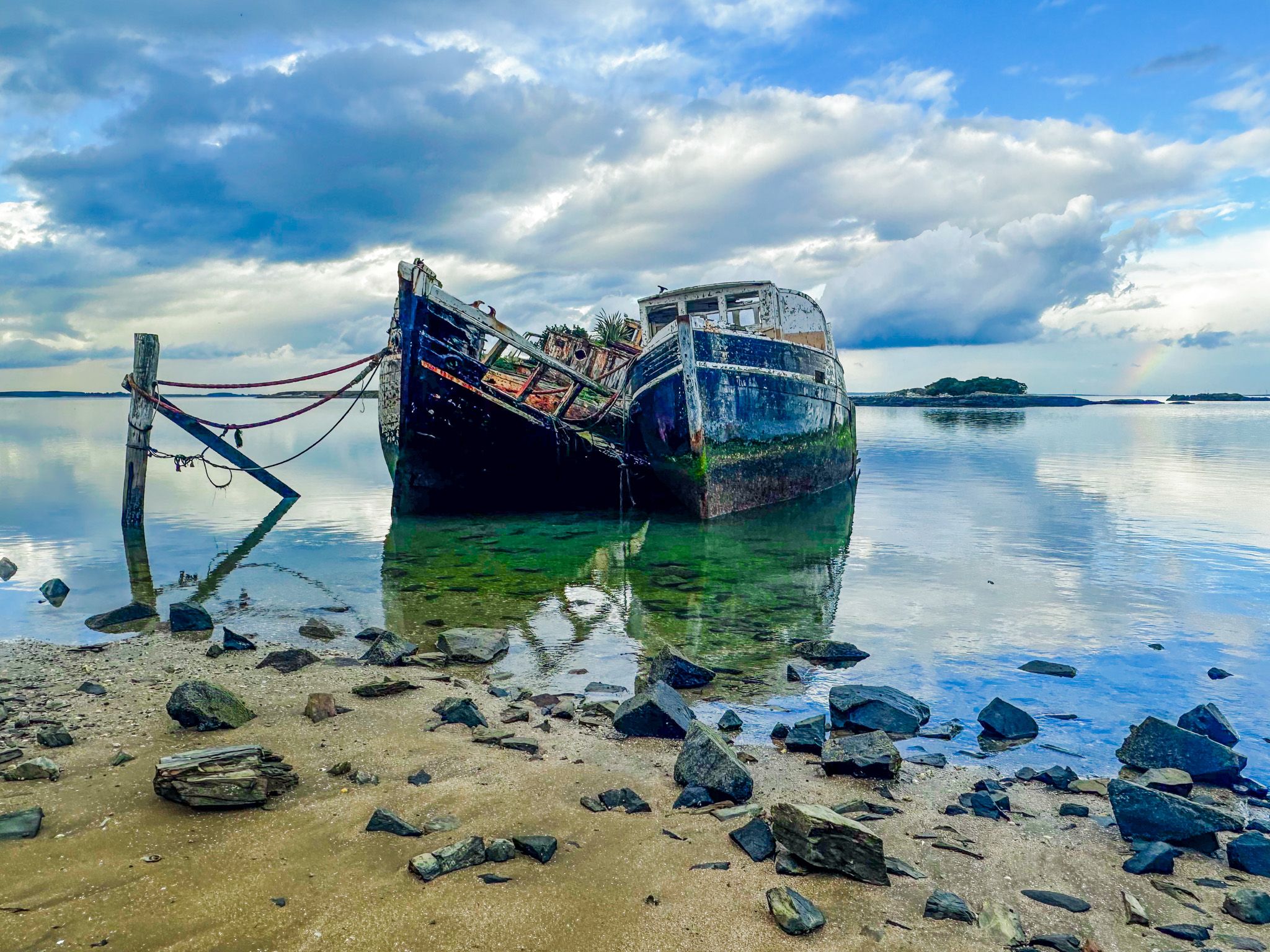
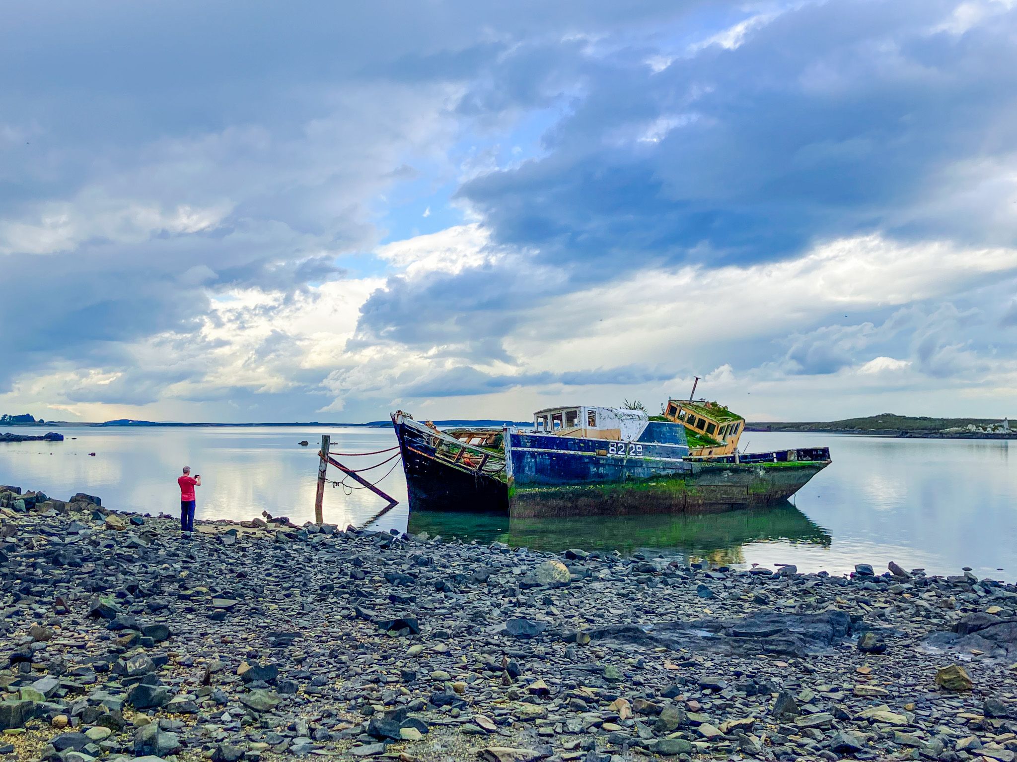
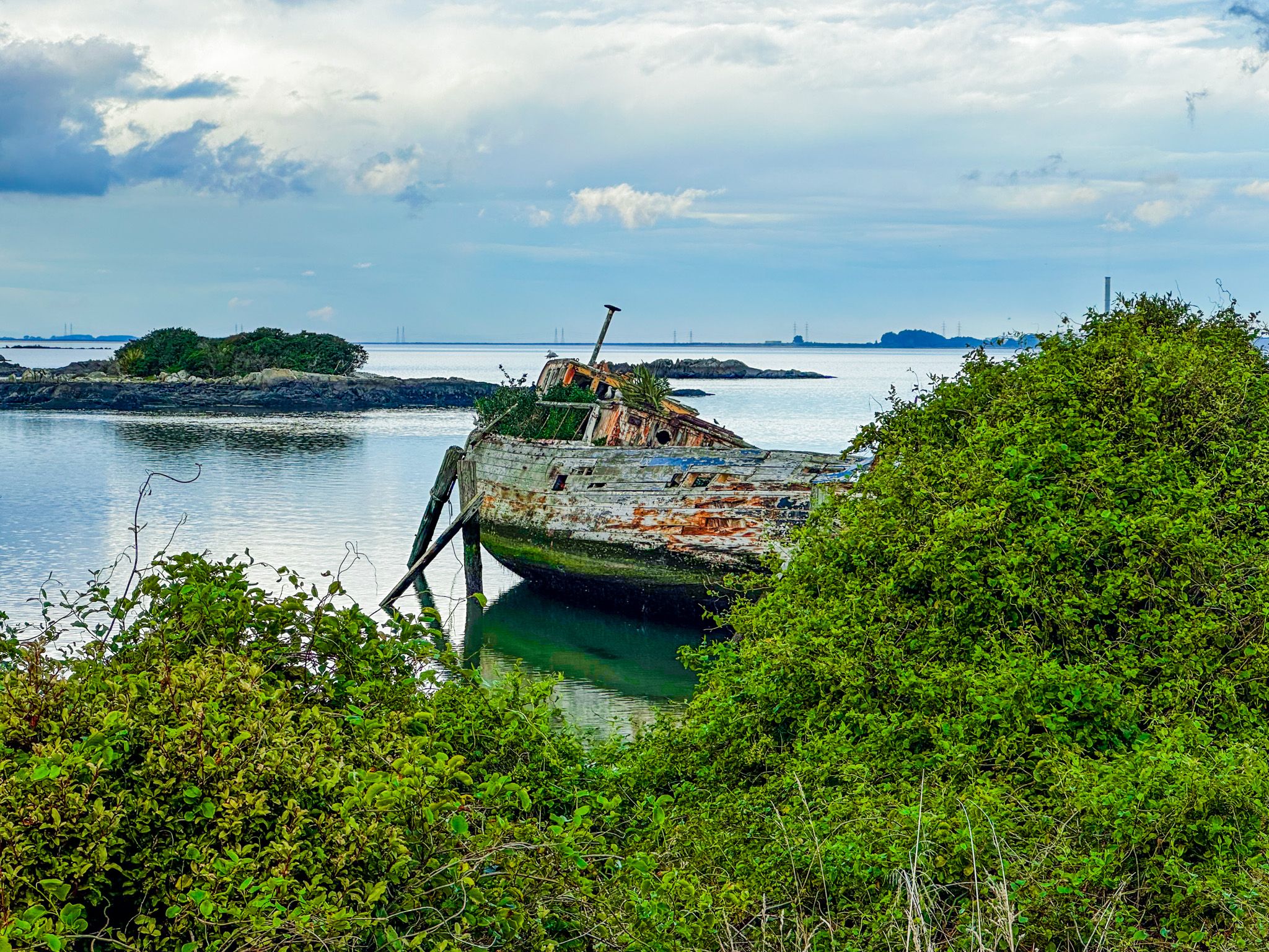
The Greenpoint Ship Graveyard sits on the tidal shore of Bluff Harbour, roughly 5 km north of Bluff town on State Highway 1. The entrance is not particularly well marked, but there is a substantial stonewall entrance. From the car park, the ship graveyard is reached on a short, flat 15-minute boardwalk. The rusting hulls of two boats can be seen, with some parts of several others at low tide. The remains included fishing and oyster boats, tugs, and a former passenger ferry. It is more photogenic than other well-known shipwrecks around New Zealand, including the well-known Janie Seddon in Motueka.
The Ships and Their Stories
Beginning around the 1870s, Greenpoint, about halfway along the west side of Bluff Harbour and opposite nearby Tikore Island, became the informal retirement ground for the working vessels of Foveaux Strait. When a boat was beyond repair or simply surplus, it was driven onto the sandbanks at high tide and left.
There is an information board at the start of the track, with 10 vessel locations on the map, identified by the Bluff History Group. These include Kekeno (1882–1955), the Dispatch (1883–1950), the Orewa (1898), and the Savaii, whose rust-orange hull is the most photographed. The Loyalty, formerly a Wellington ferry before moving to the oyster trade, sank after an accident with explosives in 1925. One vessel is known to have patrolled the subantarctic waters south of New Zealand, watching for seal poachers and attending to castaways. Today, it seems amazing that dumping these vessels in this way persisted until at least the 1950s.
The Geology and the Birds
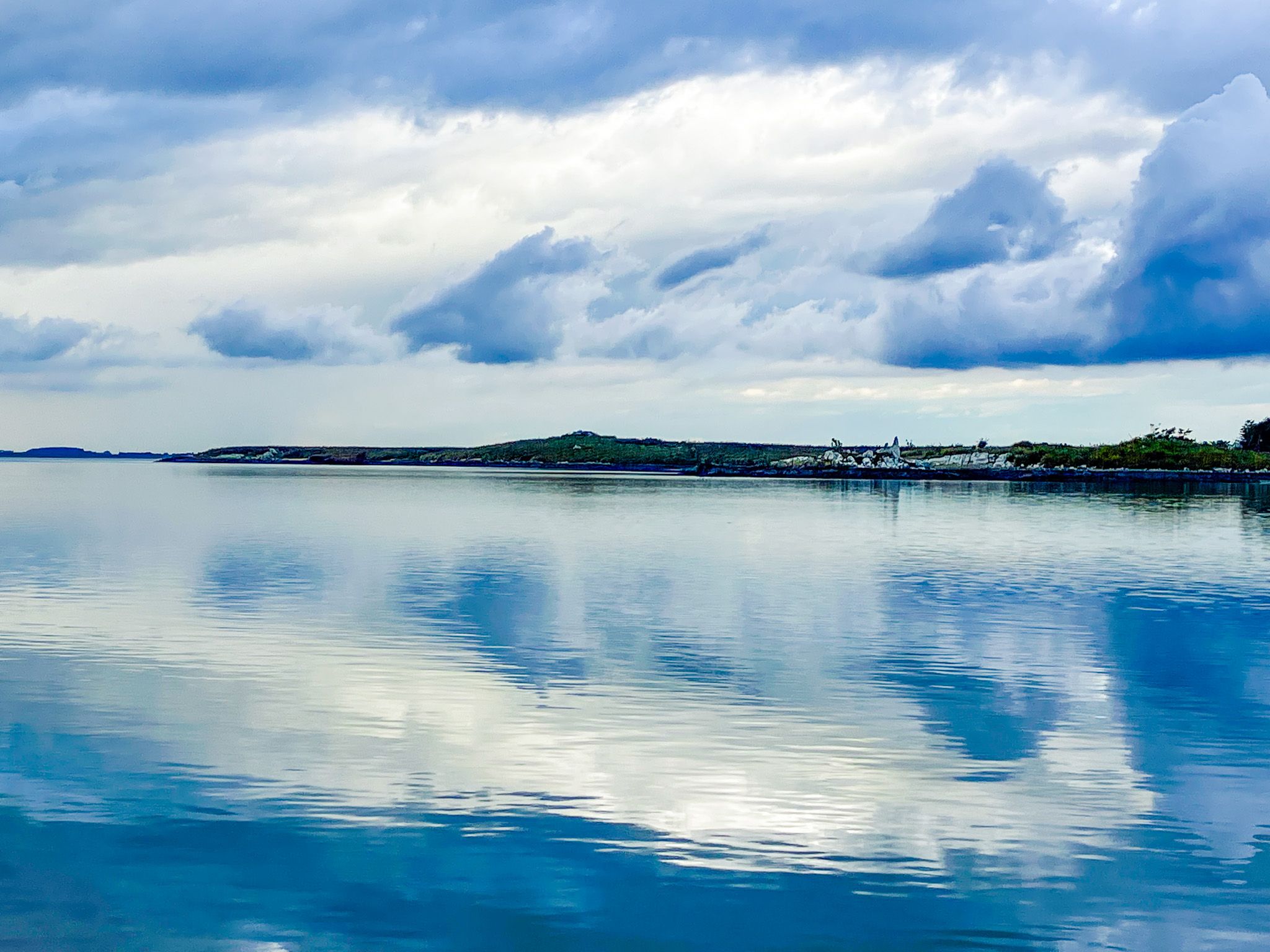
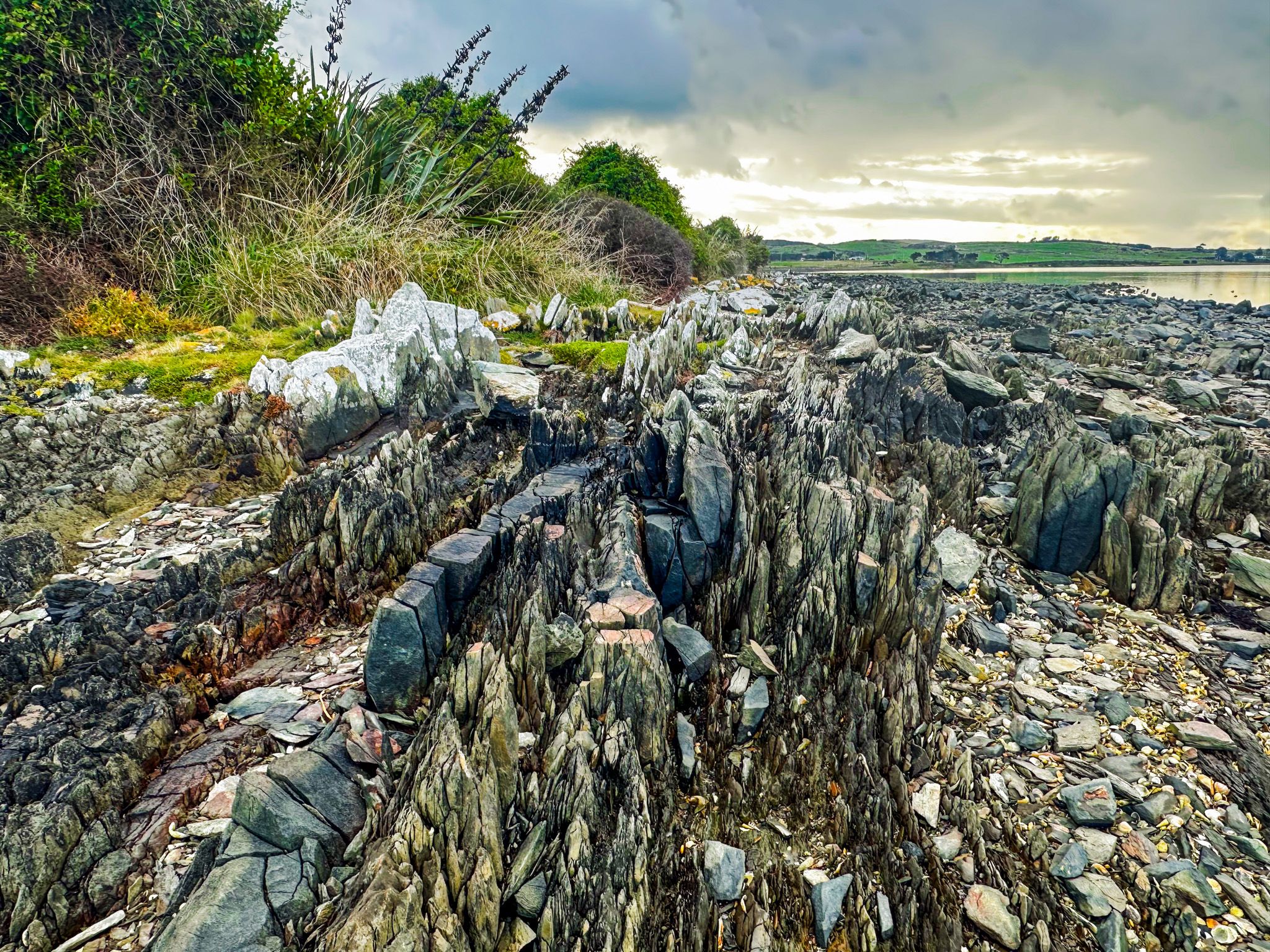
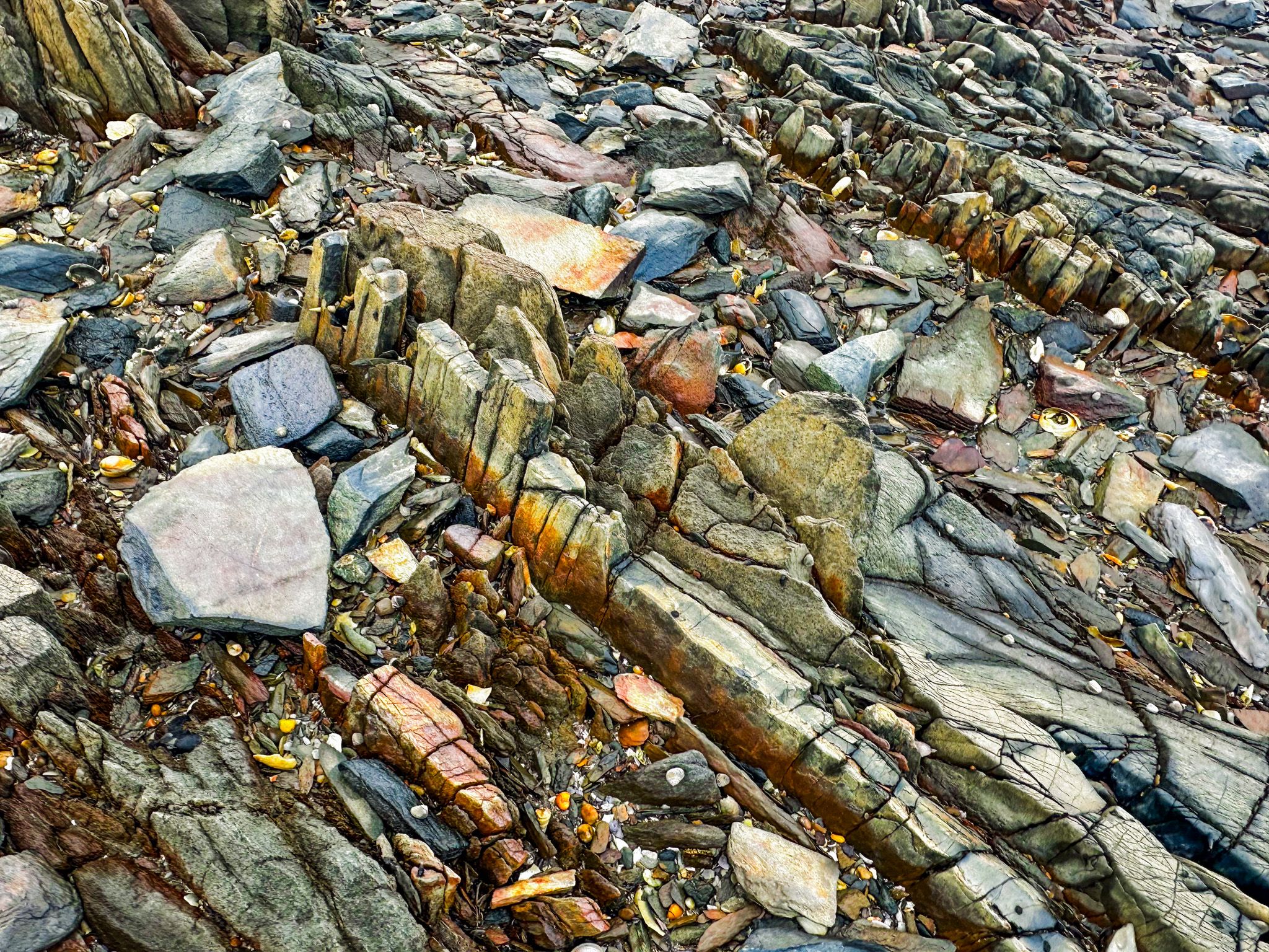
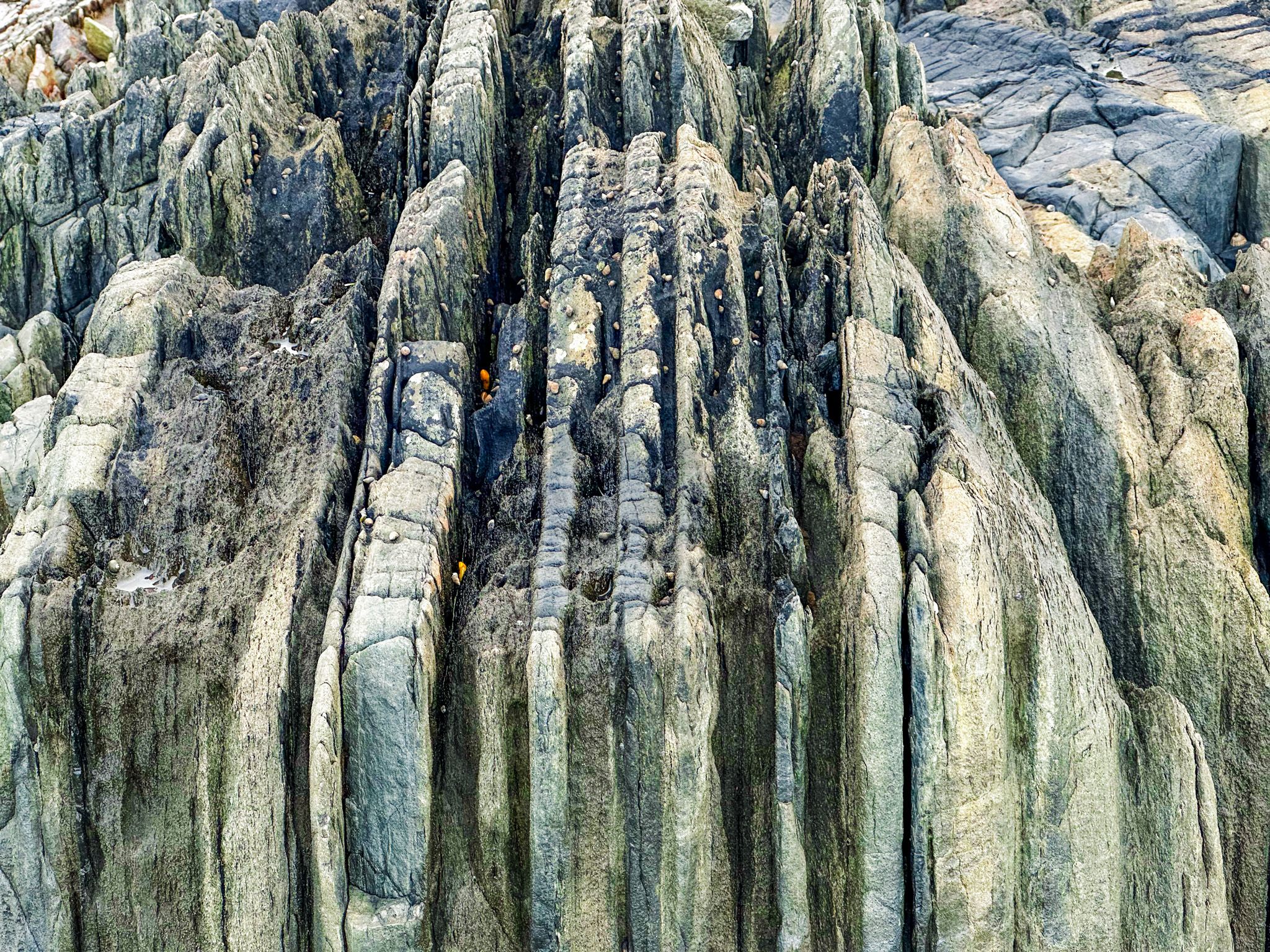
The foreshore at Greenpoint also exposes some of the oldest visible geology in New Zealand. The sharply tilted, narrow-layered rocks on the shore are composed of Permian sandstone laid down as sediment 270 million years ago. Thirty million years later, volcanic activity forced igneous rock between the cracks in the sandstone. Tectonic folding and erosion have since done the rest, creating the patterns seen in the near-vertical orientation of the layers. At low tide, you can wander around these narrow, colourful layers, intermingled with colourful stones and shells.
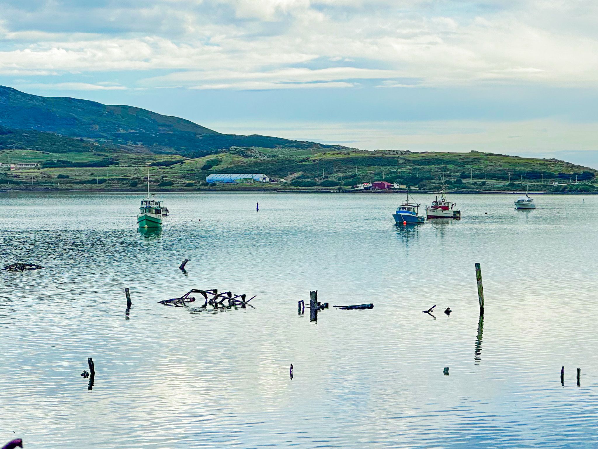
At low tide, the tidal flats attract oystercatchers, herons, royal spoonbills, and shags in numbers that make Greenpoint as worthwhile for birdwatching as for the wrecks.
The Walk
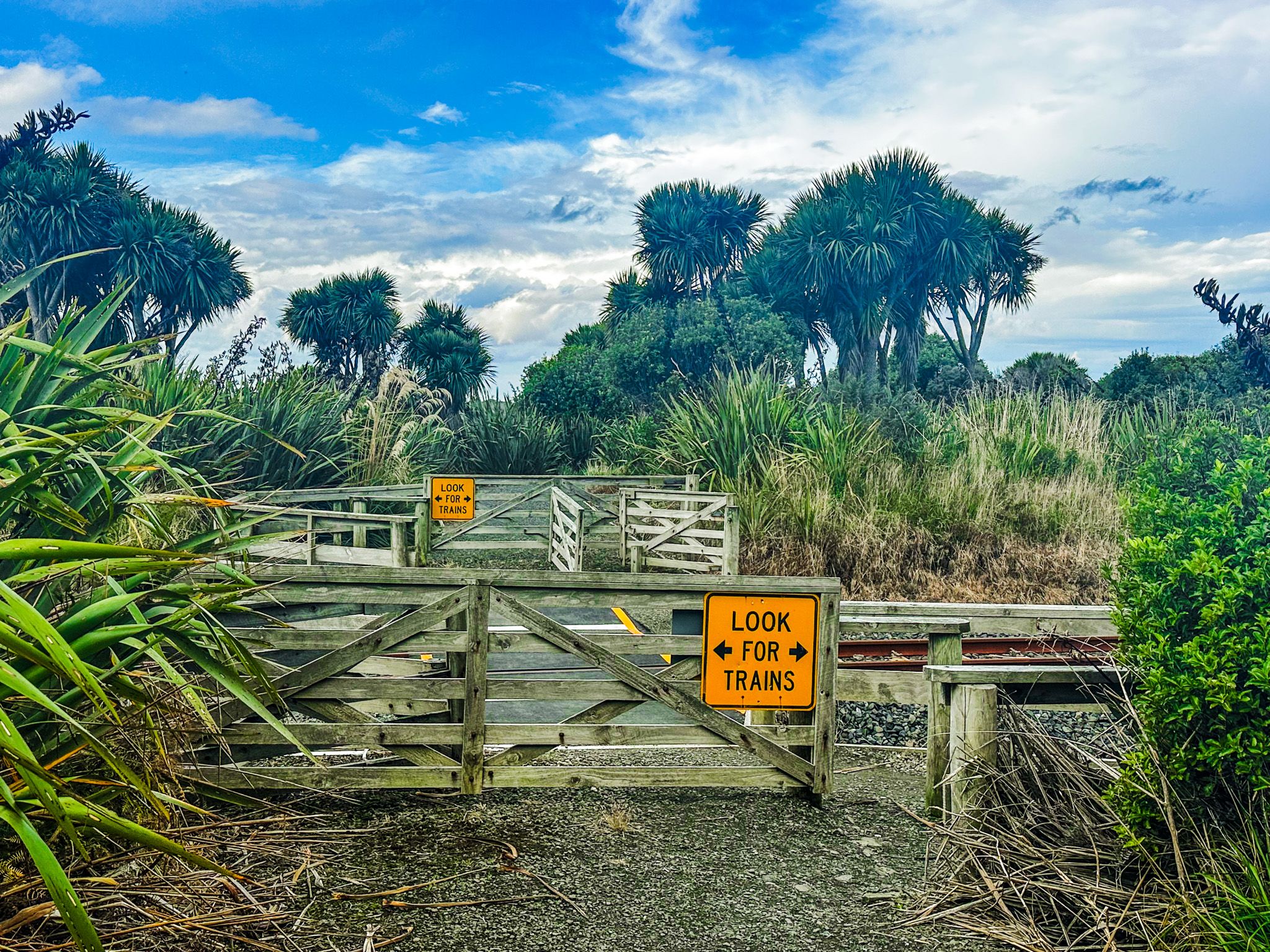
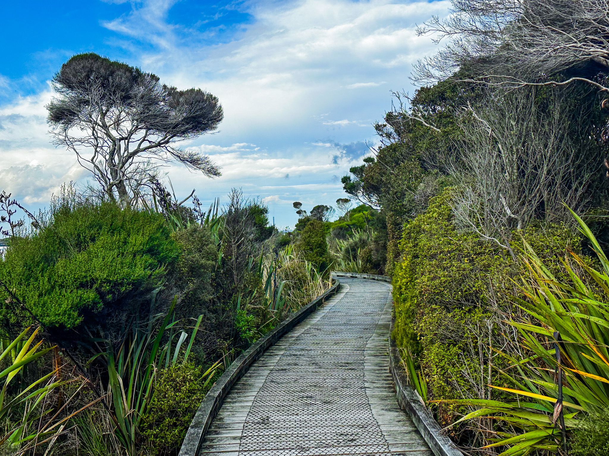
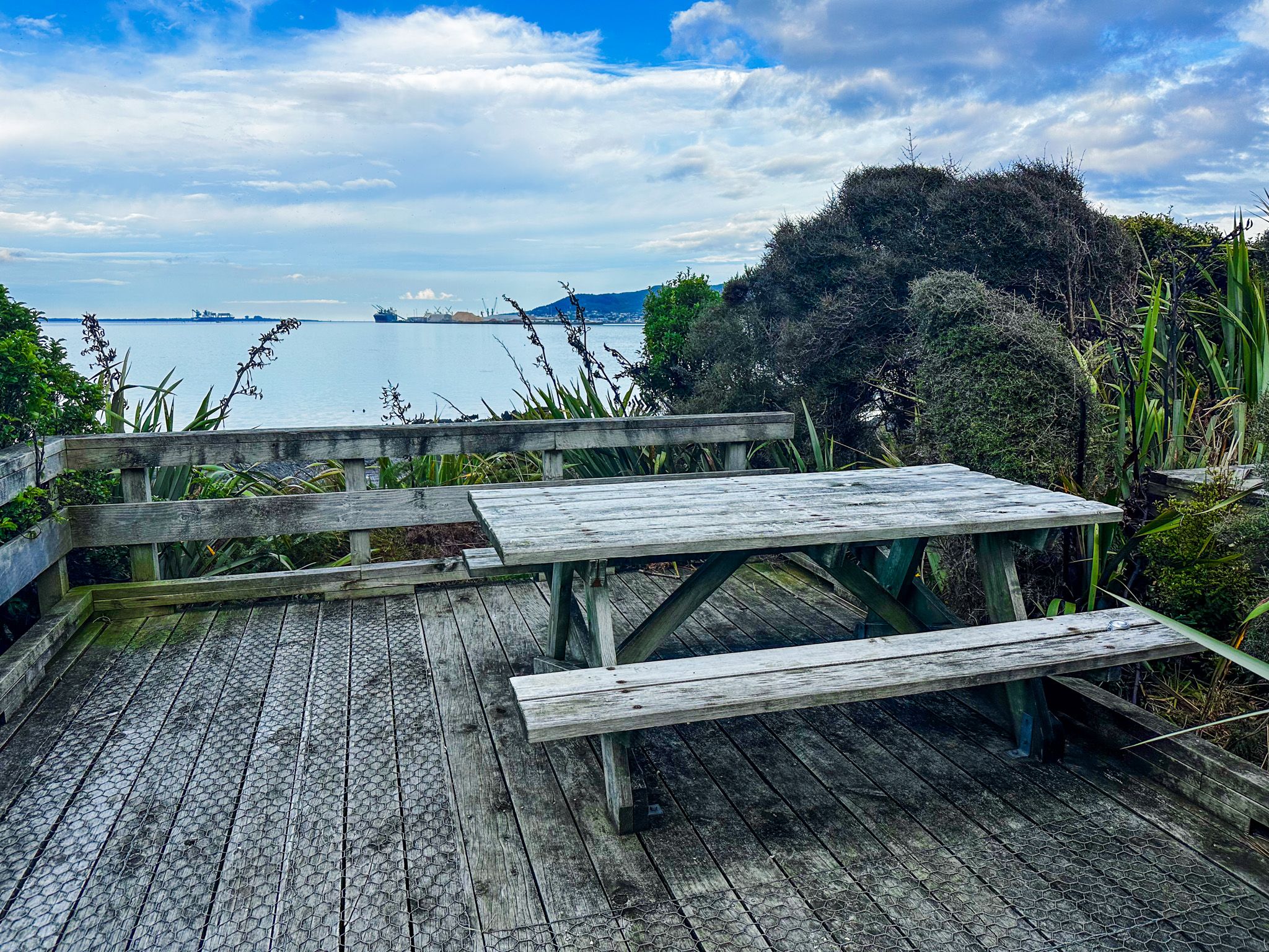
The Greenpoint Track is an easy, well-graded path and boardwalk, accessible to wheelchairs, running approximately 1 km from the car park to the viewing platform. The replanted wetland vegetation around the boardwalk is managed as part of the reserve. The return walk takes around 30 minutes at a relaxed pace, though it is easy to spend considerably longer at the platform, especially at low tide when the wrecks are most exposed. The walk is at its best in the morning or evening light, when the low sun catches the rust on the hulls.
Note that the track crosses the main trunk railway line and that dogs are permitted on a lead.

How to Get There
The Greenpoint Domain car park is on State Highway 1, approximately 5 km north of Bluff town and around 23 km south of Invercargill, a 17-minute drive. The car park is on the east side of the highway, through the rock wall-lined entrance.
Nearby places to visit include Greenhills, Ōmaui, Bluff Hill (Motupōhue) and Stirling Point.