Exploring Auckland's North Shore
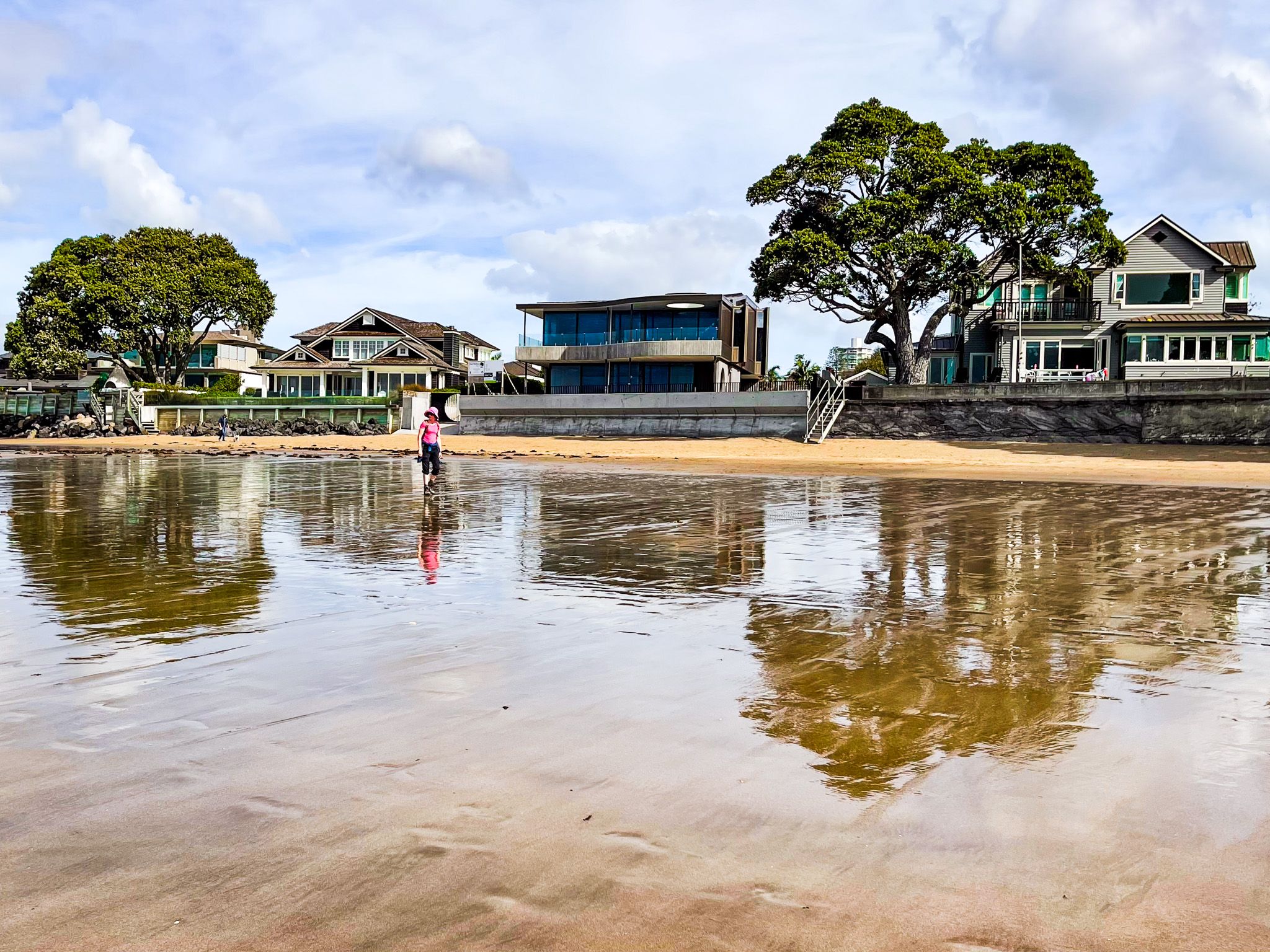
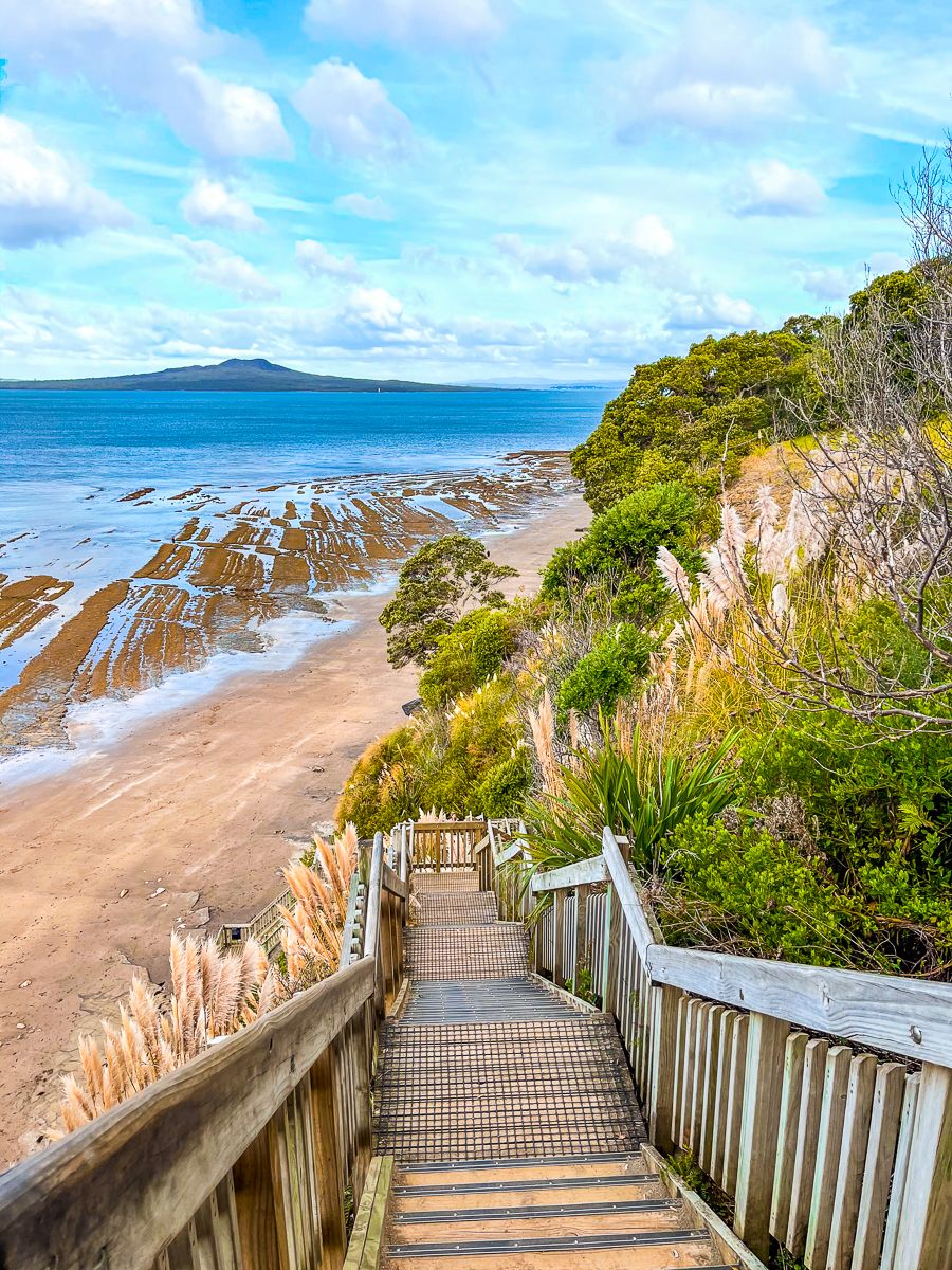
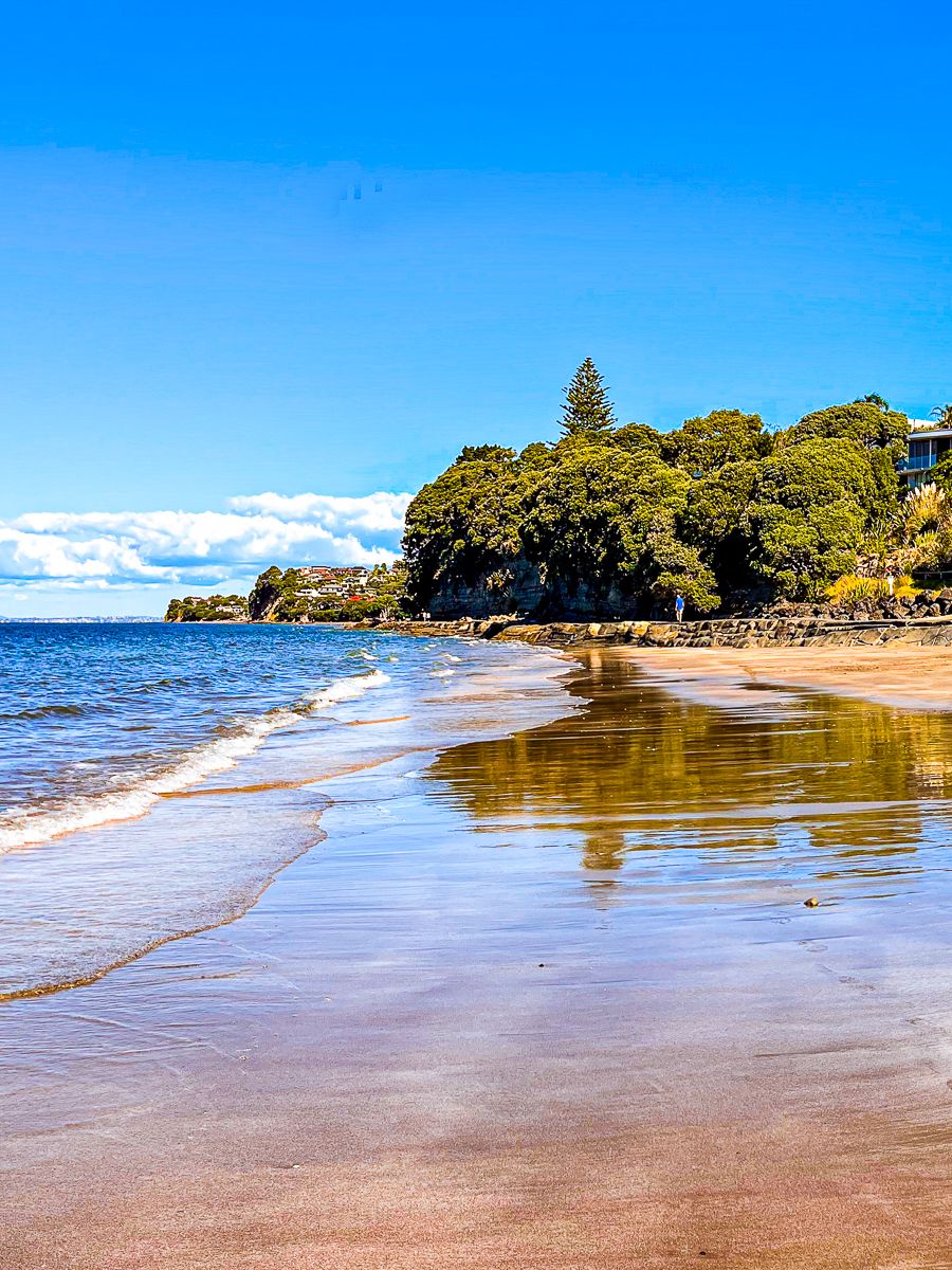
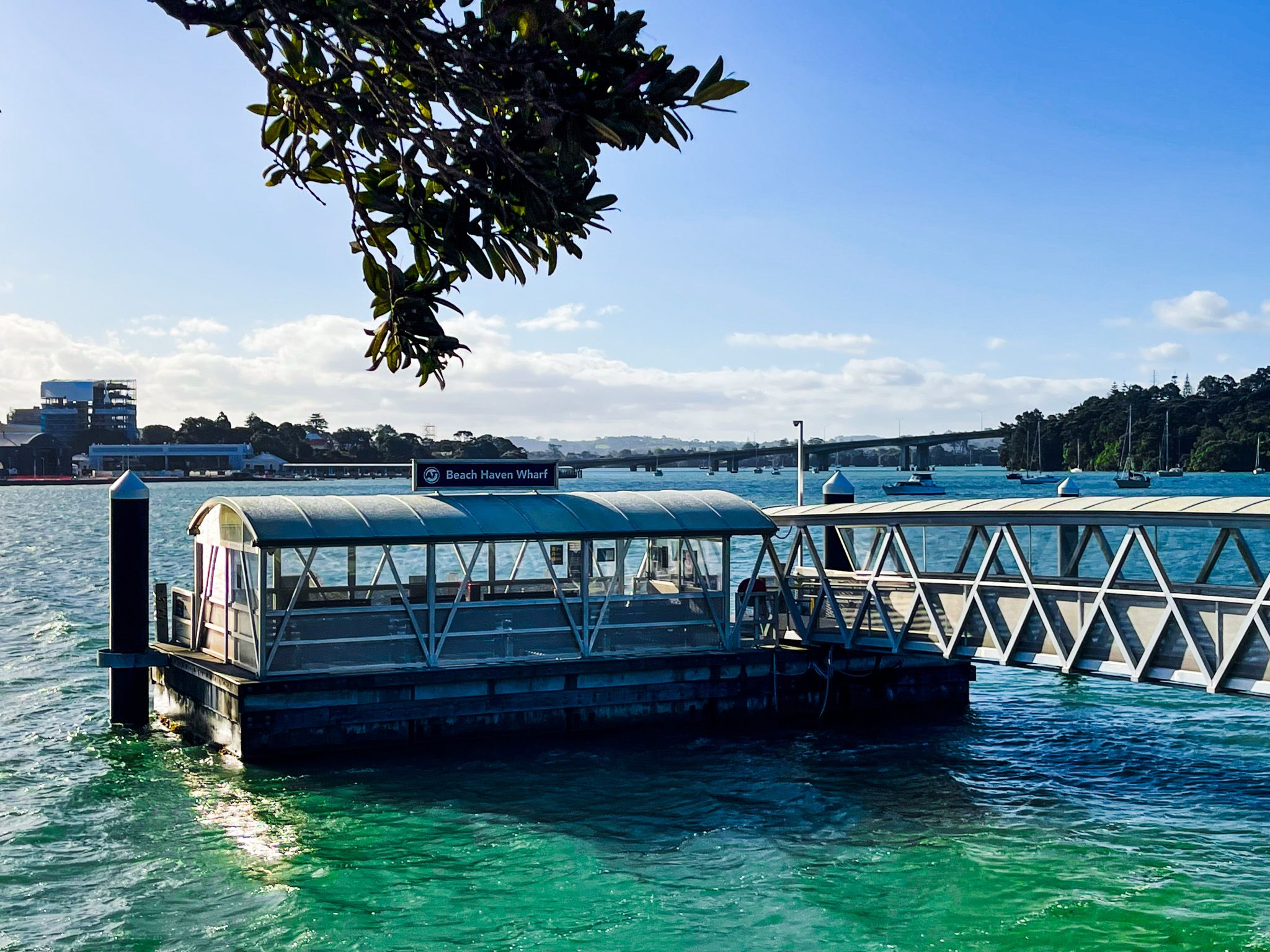
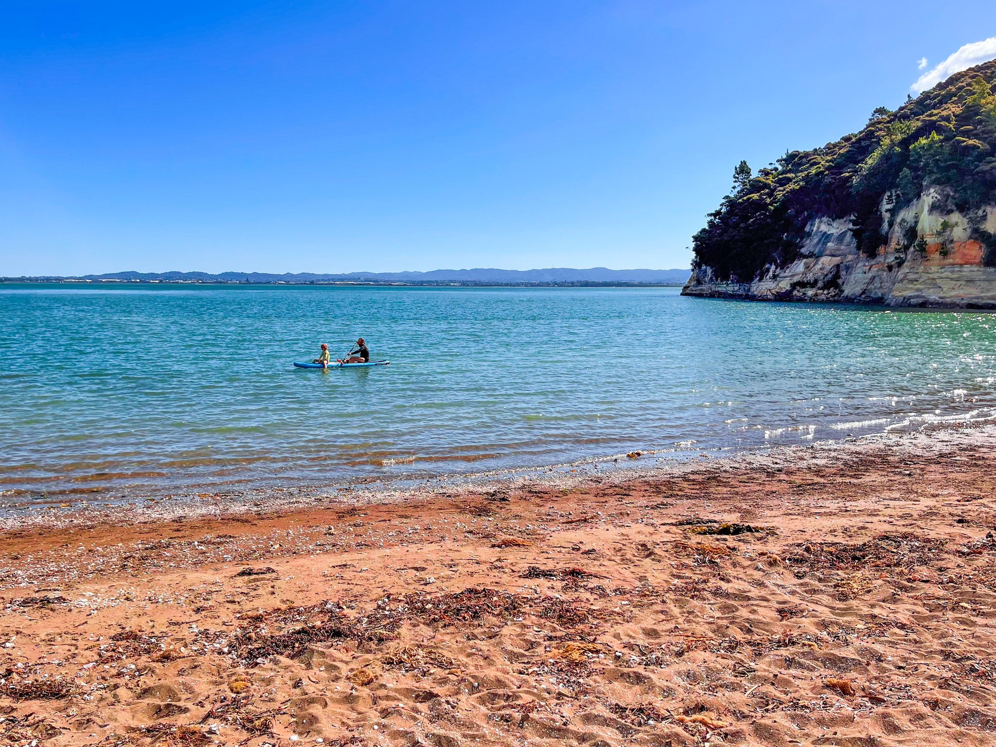
The North Shore, located on the northern side of Auckland's Waitematā Harbour, stretches to the Ōkura River and Long Bay on the Hauraki Gulf's east coast. Known for its stunning beach suburbs, the North Shore offers a blend of urban and natural attractions. Popular beaches include Devonport, Takapuna, Campbells Bay, Milford Beach, and Long Bay Beach. You can drive to these locations or explore them via the North Shore Coastal Walk, which is part of the Te Araroa trail.
Parks and Forest Walks
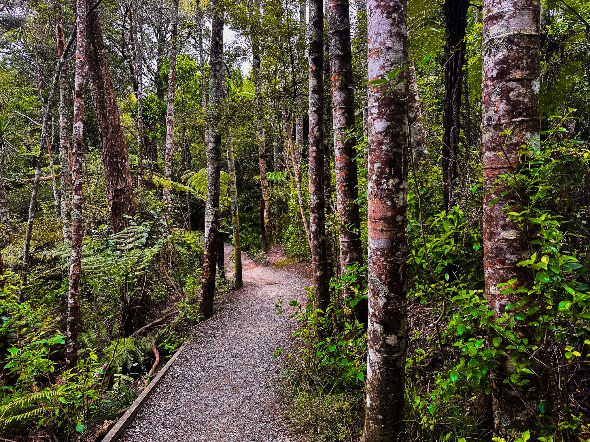
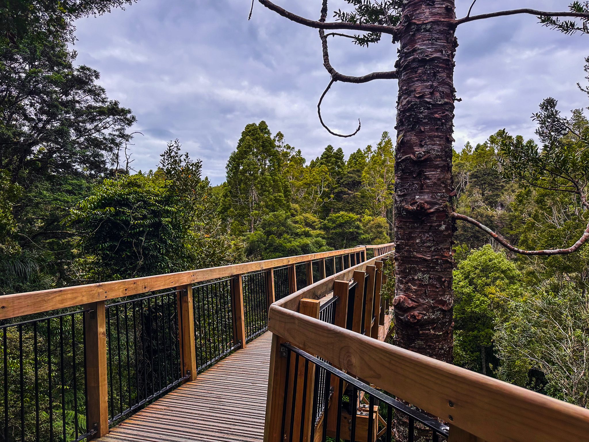
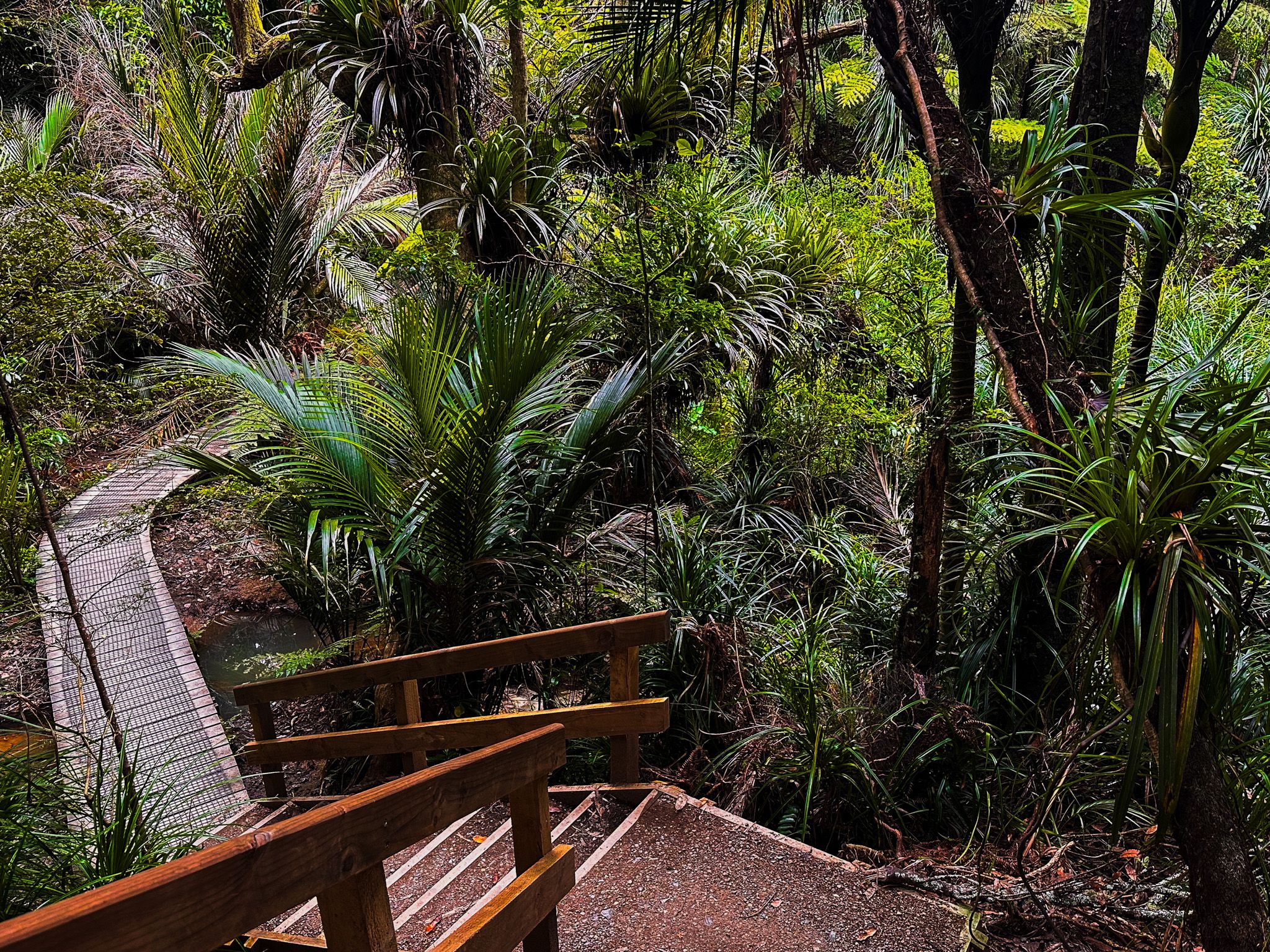
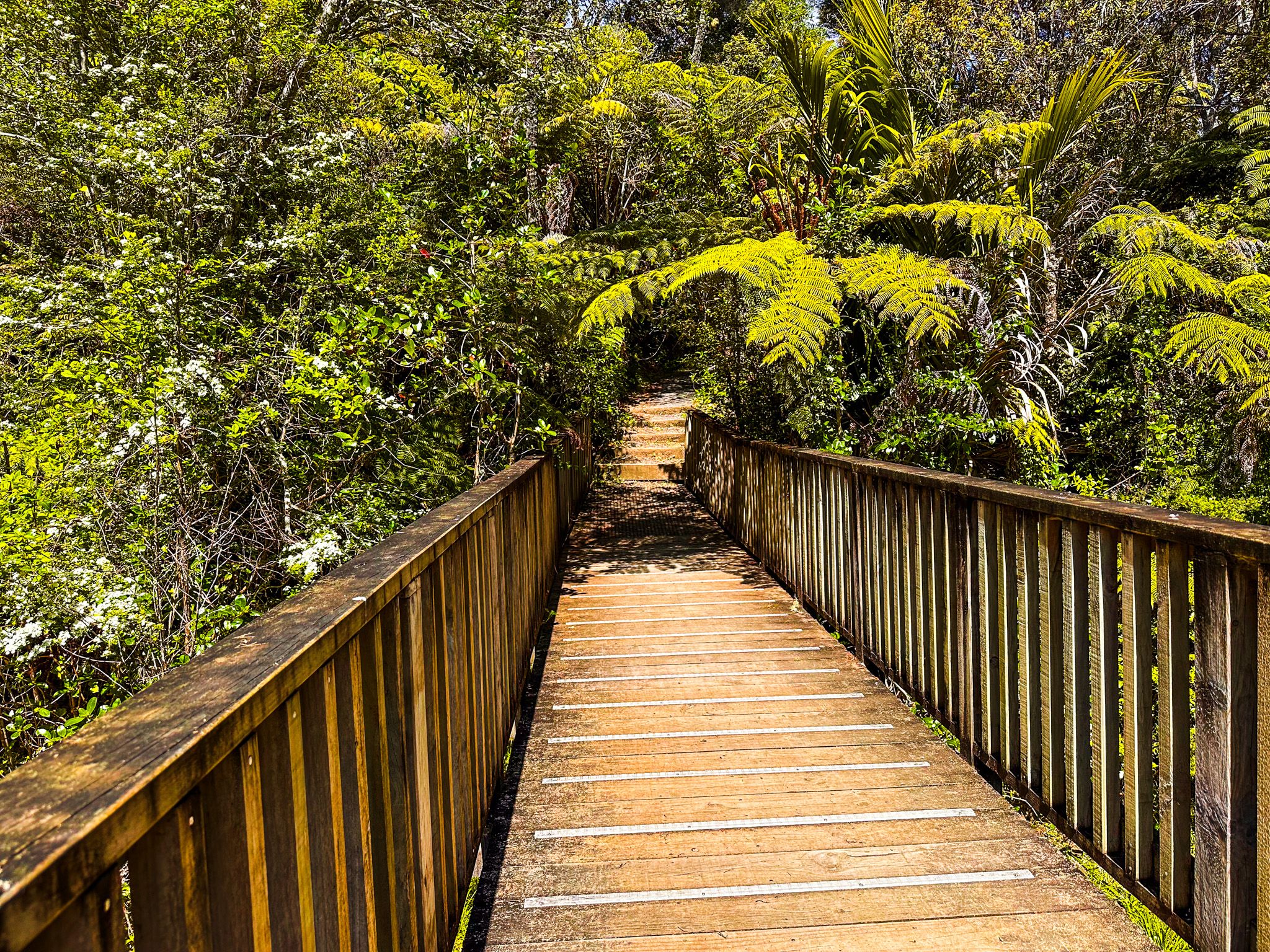
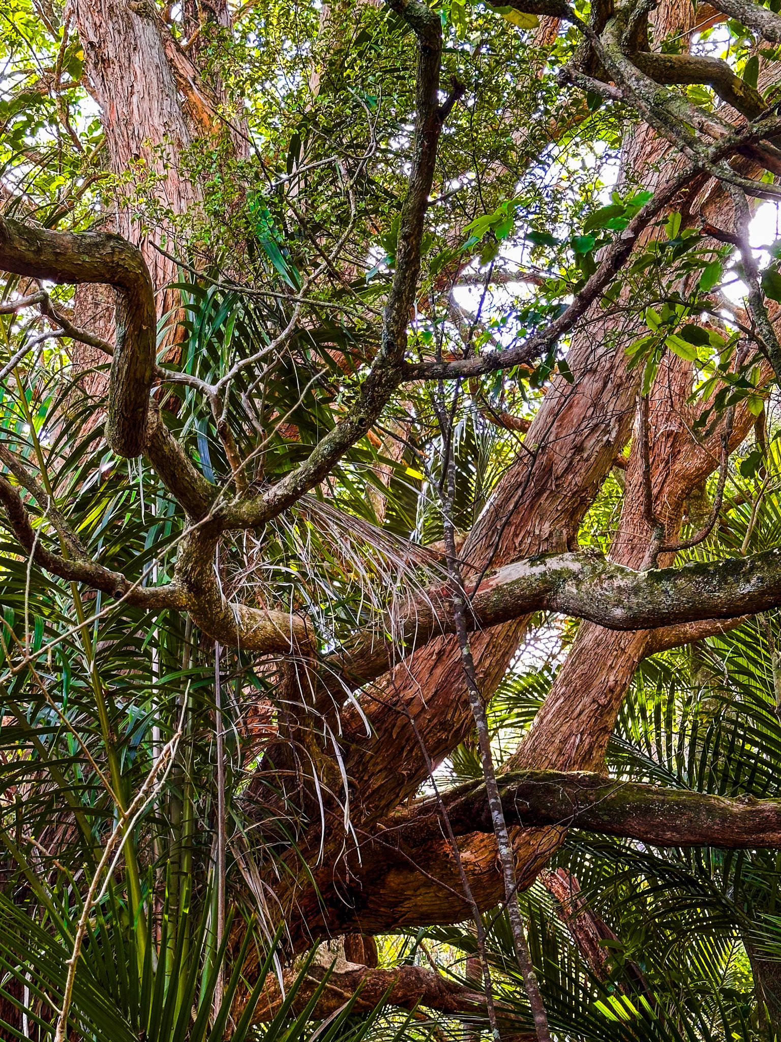
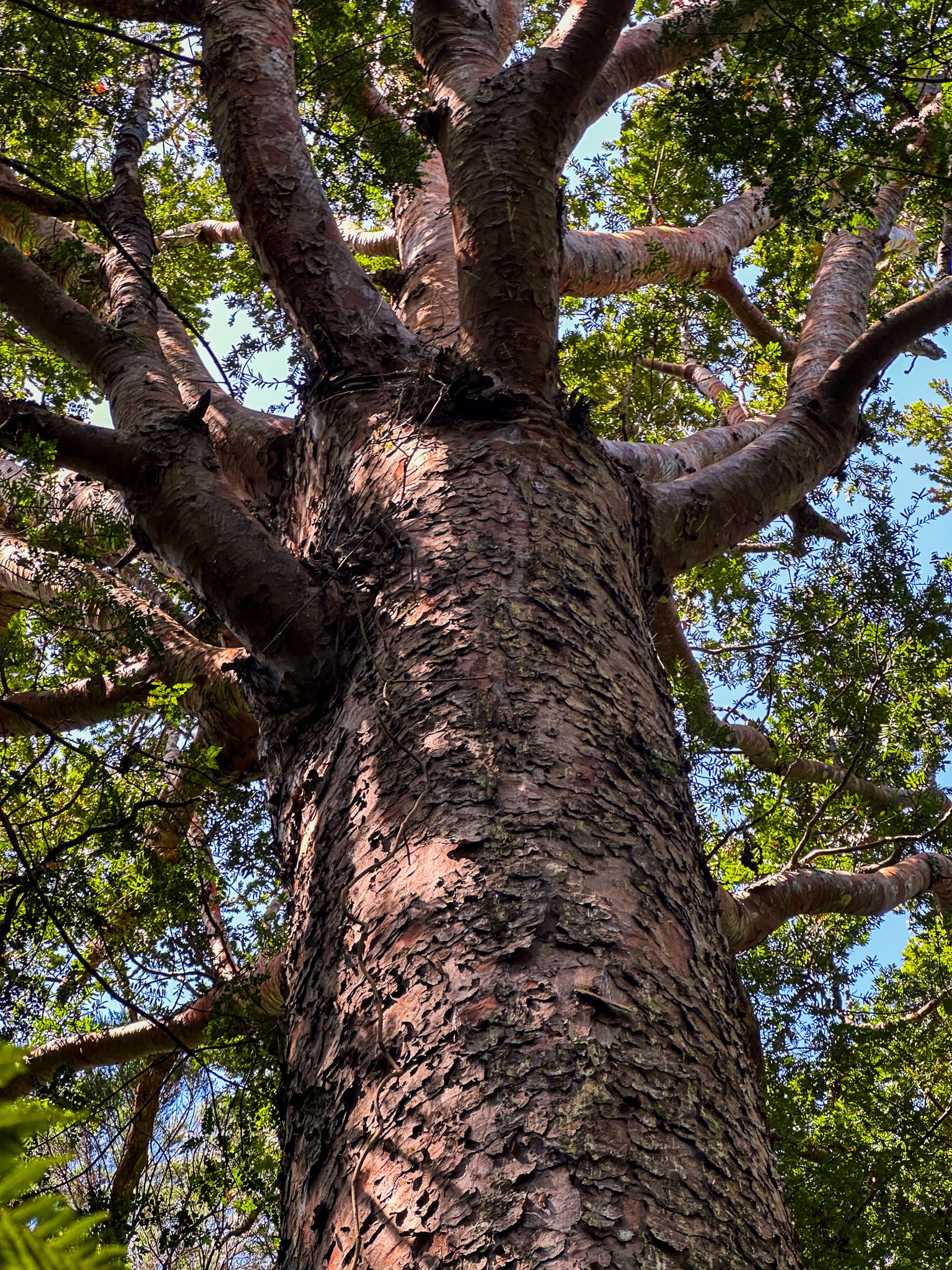
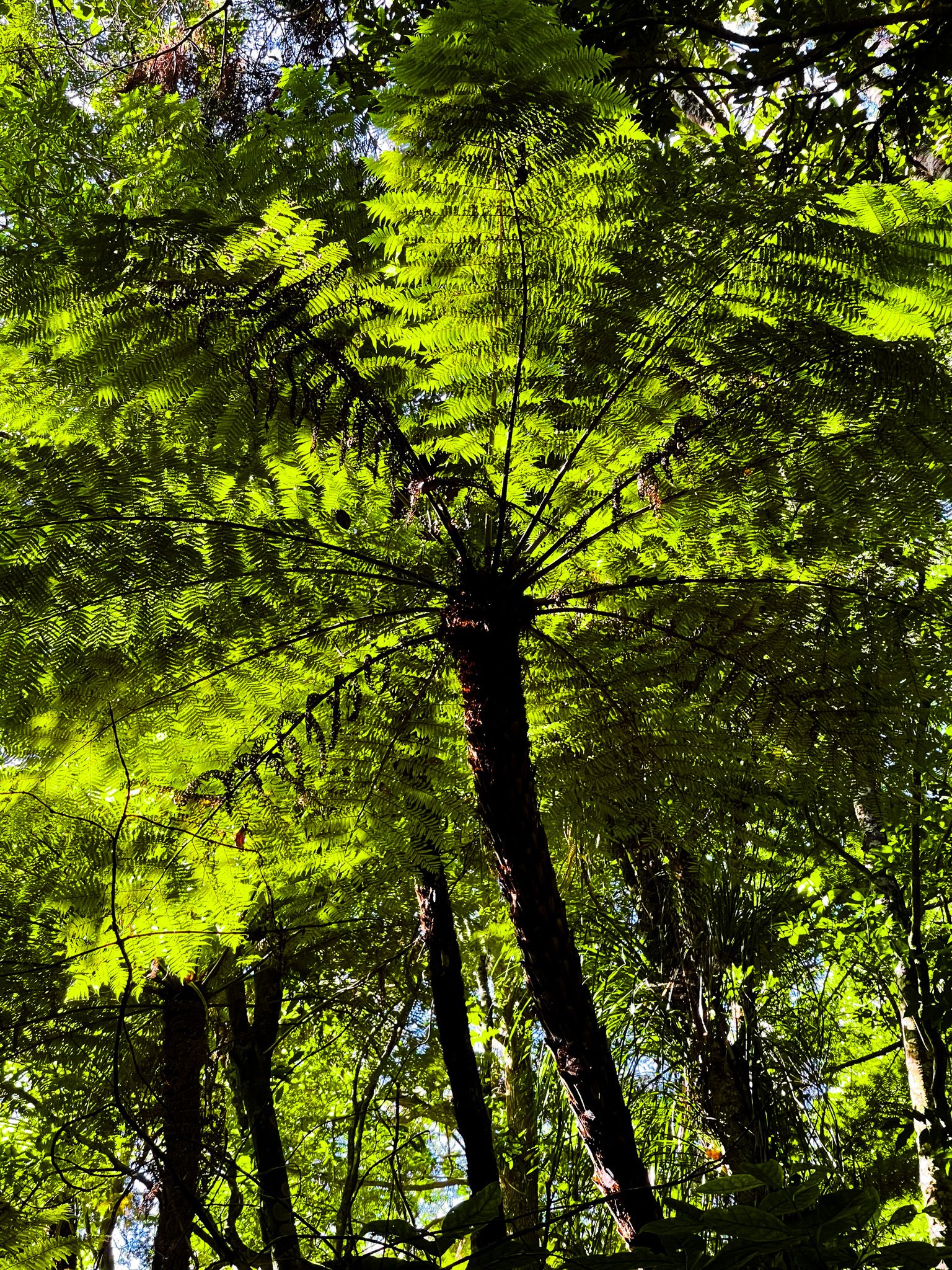
Beyond the beaches, the North Shore boasts several small to mid-sized parks and forest walks. Historically, this area was covered in kauri forests, similar to the Waitākere Ranges. Although much was lost to urbanisation after the Auckland Harbour Bridge opened in the 1960s, pockets of native trees remain. Notable reserves include Le Roys Reserve, Kauri Glen Reserve, Chatswood Reserve, and Awaruku Bush Reserve, offering glimpses of native flora.
Points of Interest
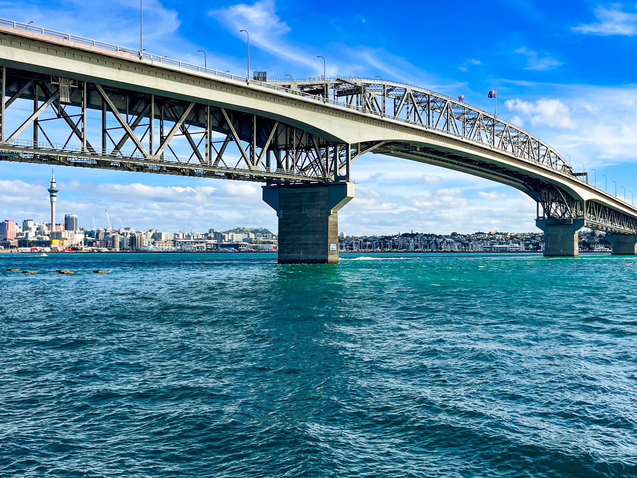
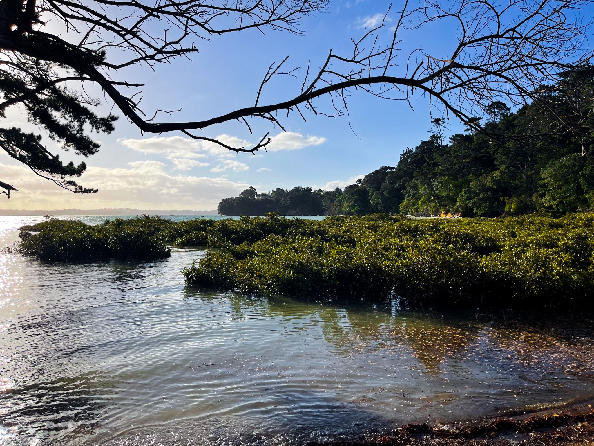
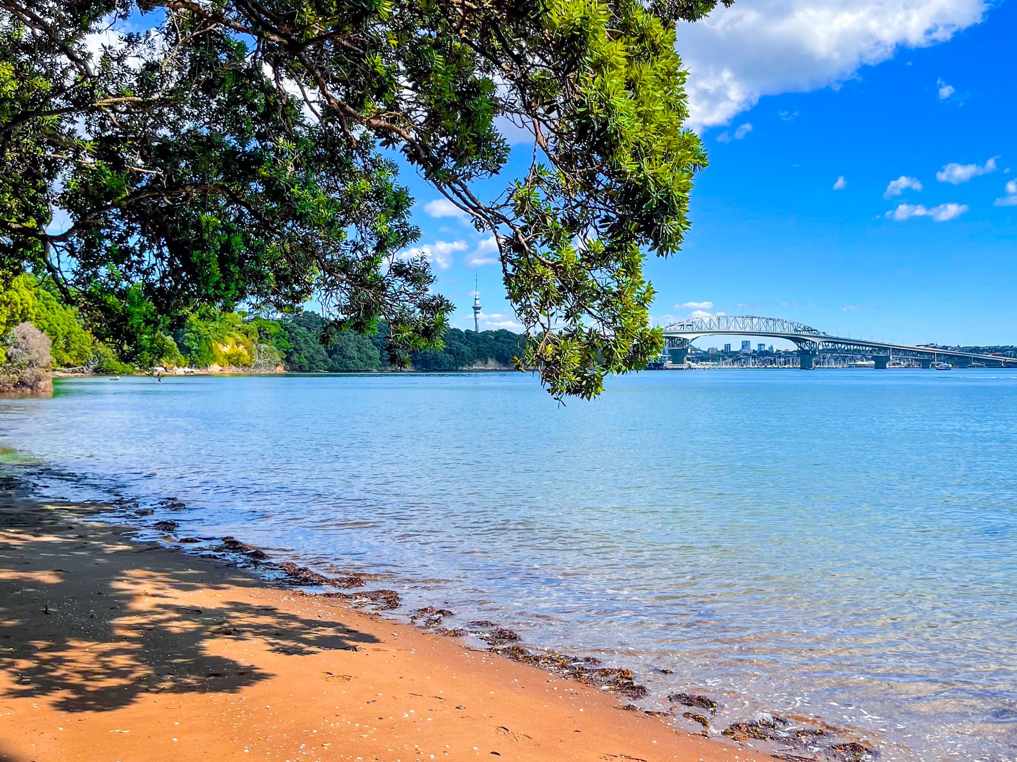
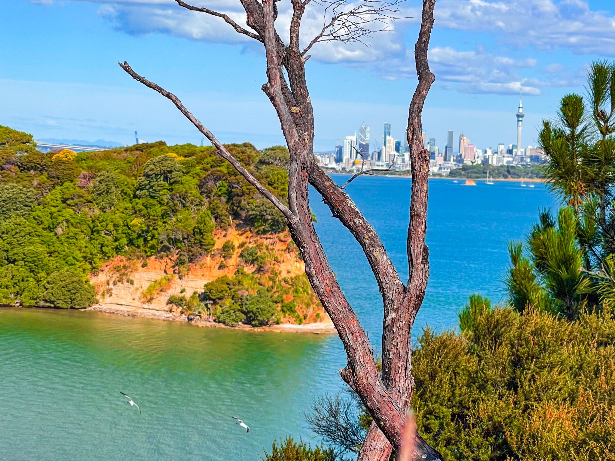
The northern edge of the Waitematā Harbour, from the Harbour Bridge to Kauri Point Domain, features several attractions. Stokes Point, beneath the Harbour Bridge, was once a significant Māori pā. Nearby, and Halls Beach is known for its pōhutukawa trees and cliffs. A walk from Chelsea Bay connects Chatwood Reserve, Kauri Point Centennial Park, and Kendall Bay. These areas are also accessible from Downtown Auckland via bus or ferry, with some walking involved.
Geological Features
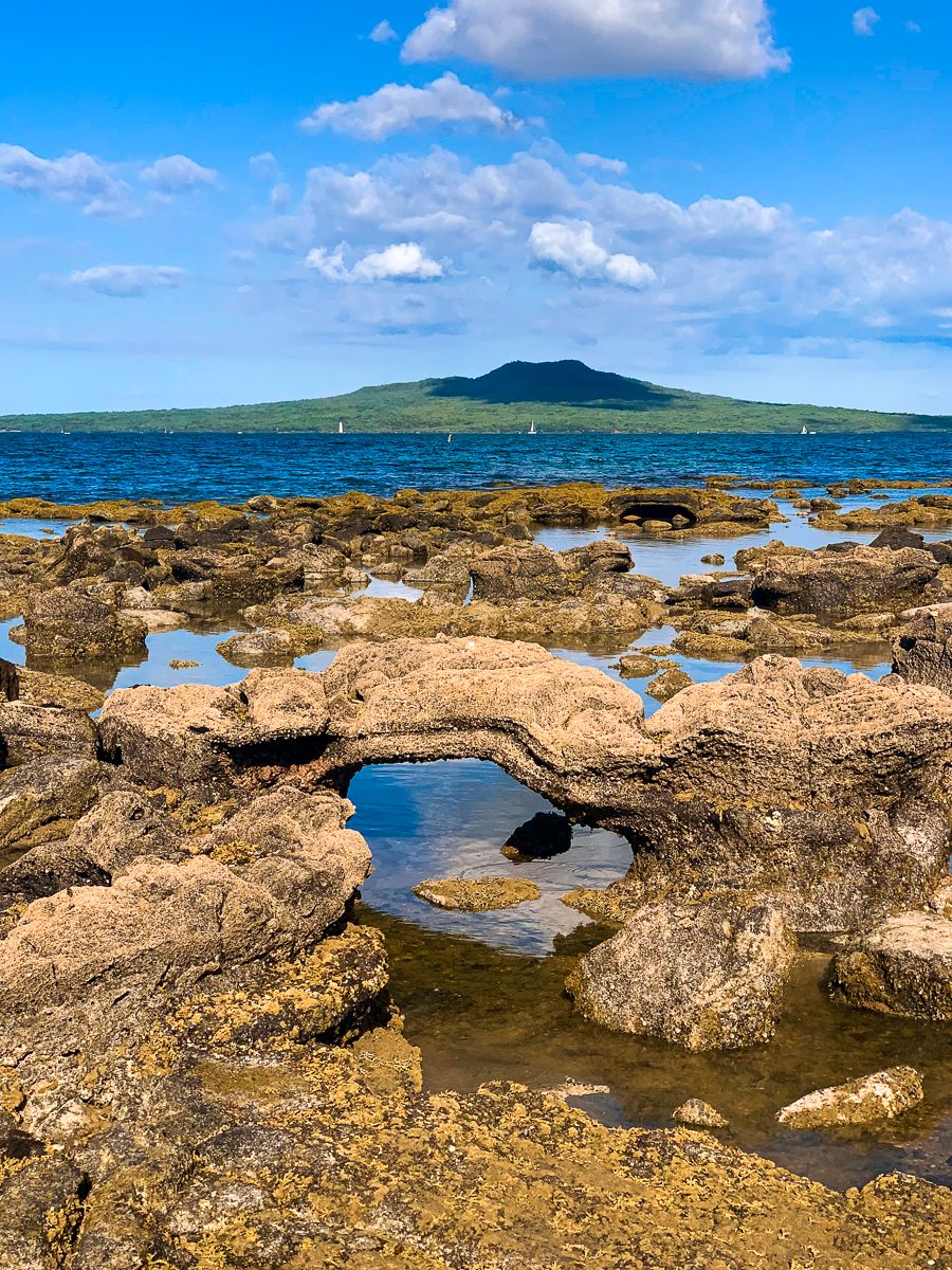
The North Shore's landscape is primarily composed of uplifted sandstone and mudstone, formed around 20 million years ago. This geological history contributes to the colourful cliffs along the Waitematā Harbour and Hauraki Gulf. The Auckland Isthmus volcanic field also shaped the area. Lake Pupuke in Takapuna erupted 193,000 years ago, burying a coastal kauri forest, whose fossilised remains are visible at low tide at the north end of Takapuna Beach. Nearby volcanic craters include Tank Farm (Te Kōpua ō Matakamokamo) and Onepoto (Te Kōpua ō Matakerepo).

Historical Background
The region was settled by Tāmaki Māori in the 1200s and 1300s. European settlers arrived in the 1840s, leading to rapid deforestation. By the early 1900s, the area was known for fruit growing and tourism. Devonport and Birkenhead were early European communities, accessible by ferry. The North Shore's modern development began with the Harbour Bridge's construction in the 1960s. In 1989, local councils merged to form North Shore City, which became part of Auckland City in 2010.
Cultural Significance
The term "North Shore" has been used since 1843. Māori names for the area include Takapuna and Awataha. Takapuna originally referred to a spring at Maungauika / North Head and later extended to the Devonport Peninsula.
Today, Te Whenua Roa o Kahu and Te Raki Paewhenua are the common Māori names for the North Shore. Te Whenua Roa o Kahu means the Greater Lands of Kahu and refers to Kahu, a granddaughter of Maki. Maki was the founder of Te Kawerau ā Maki iwi, which dominated the region from the 1600s. Kahu was more specifically associated with the North Shore. Te Raki Paewhenua translates to North Shore and has become more common since the 1980s.
How to Get There
To reach the North Shore from Downtown Auckland, visitors can take a car, bus or ferry. The Harbour Bridge and Western Ring Route provide direct road access, while ferries offer a scenic route to areas like Devonport and Birkenhead. Once on the North Shore, public transport and walking paths make exploring the region's beaches, parks, and historical sites convenient.